Location.
Malheur National Forest
Status.
Abandoned; Currently standing
Estimated drive time from Portland, OR.
5-1/2 hours
Date visited.
May 29, 2022
Elevation.
6,235′
National Historic Lookout Register.
US 951; OR 123
Trip Report.
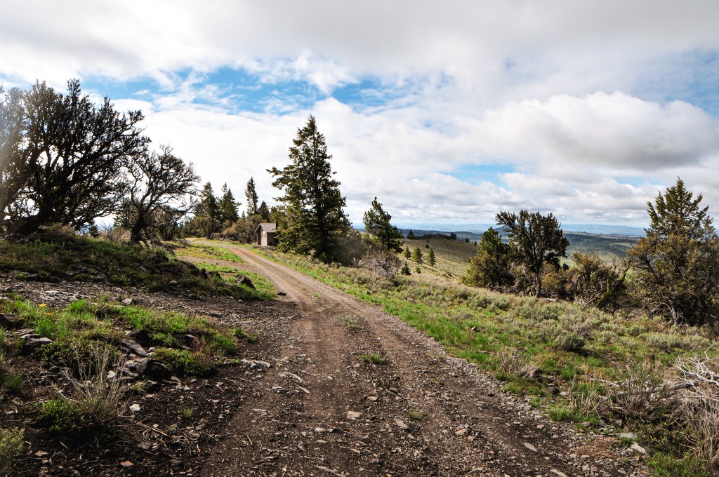
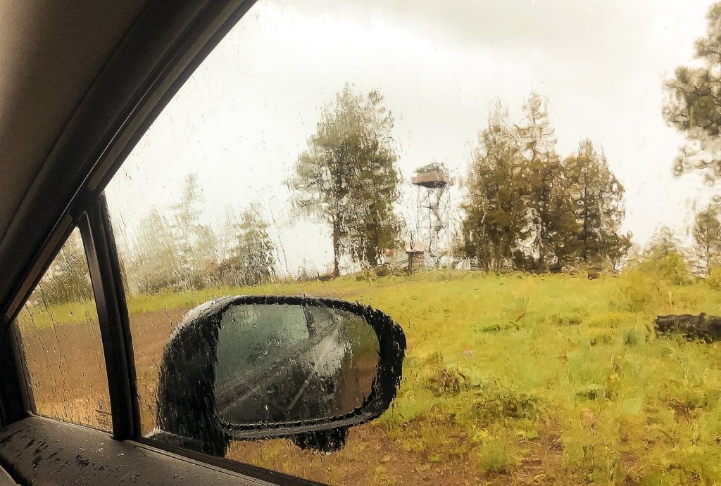
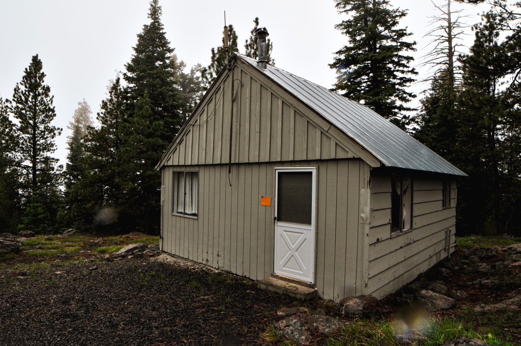
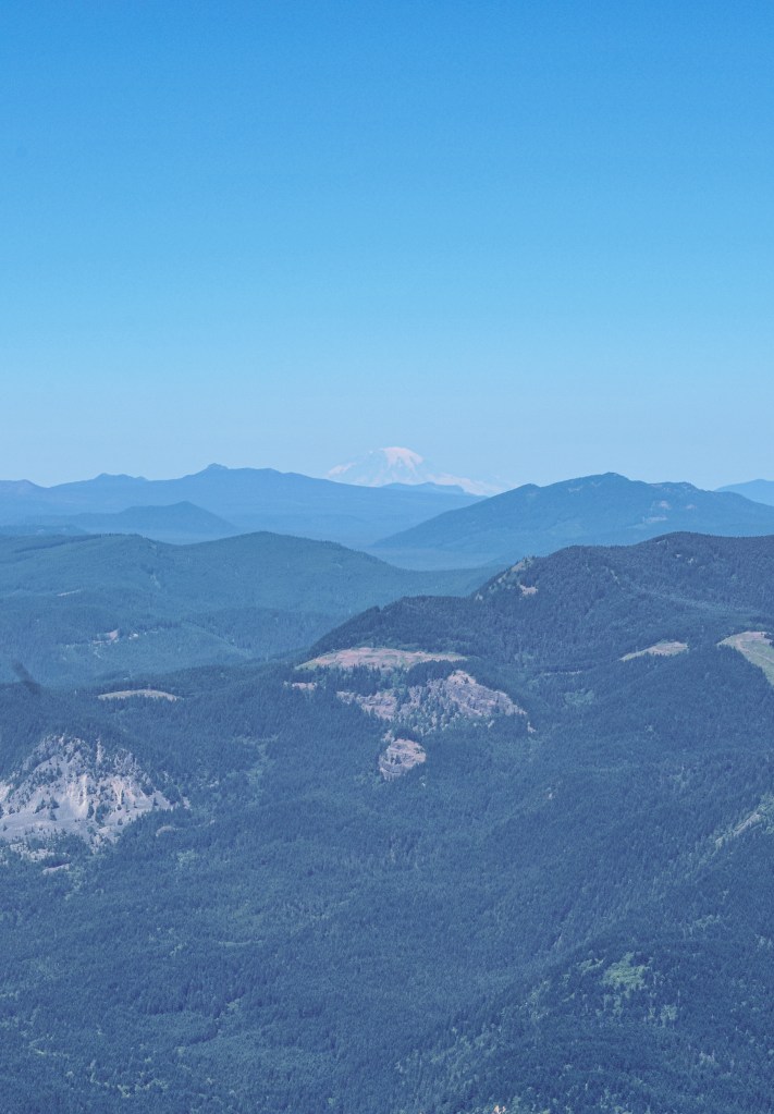
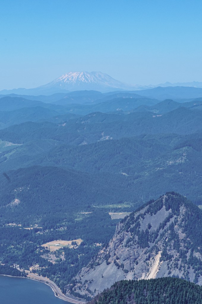
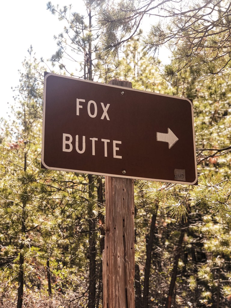
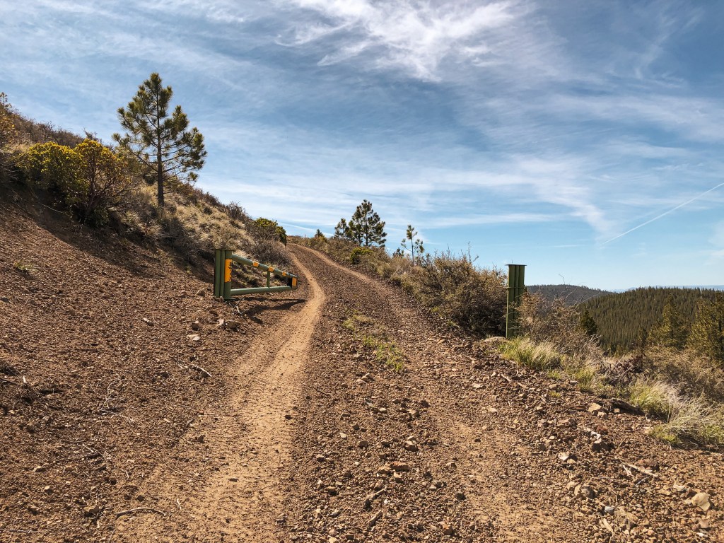
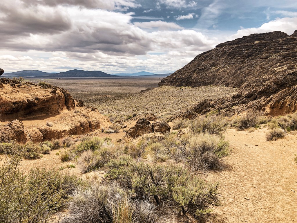
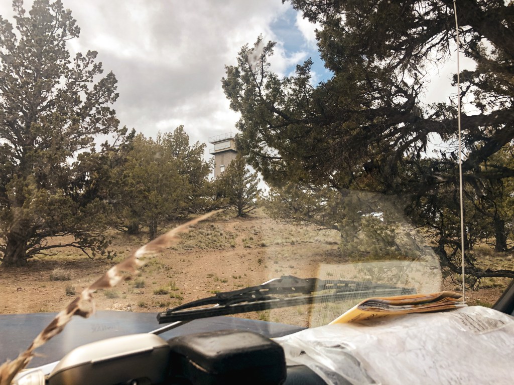
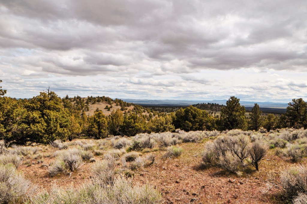
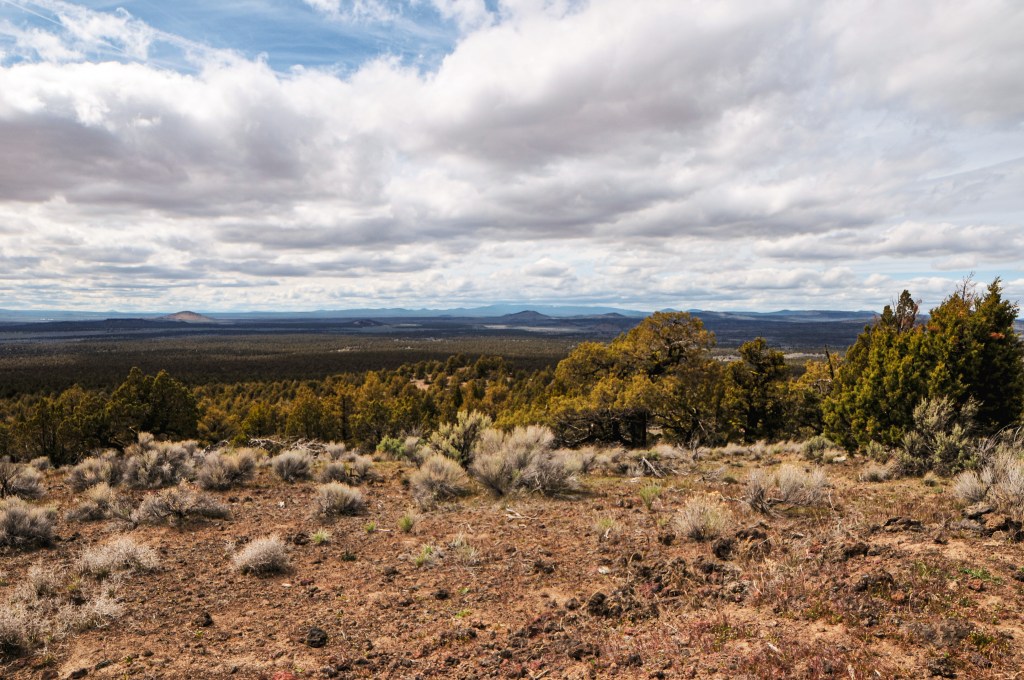
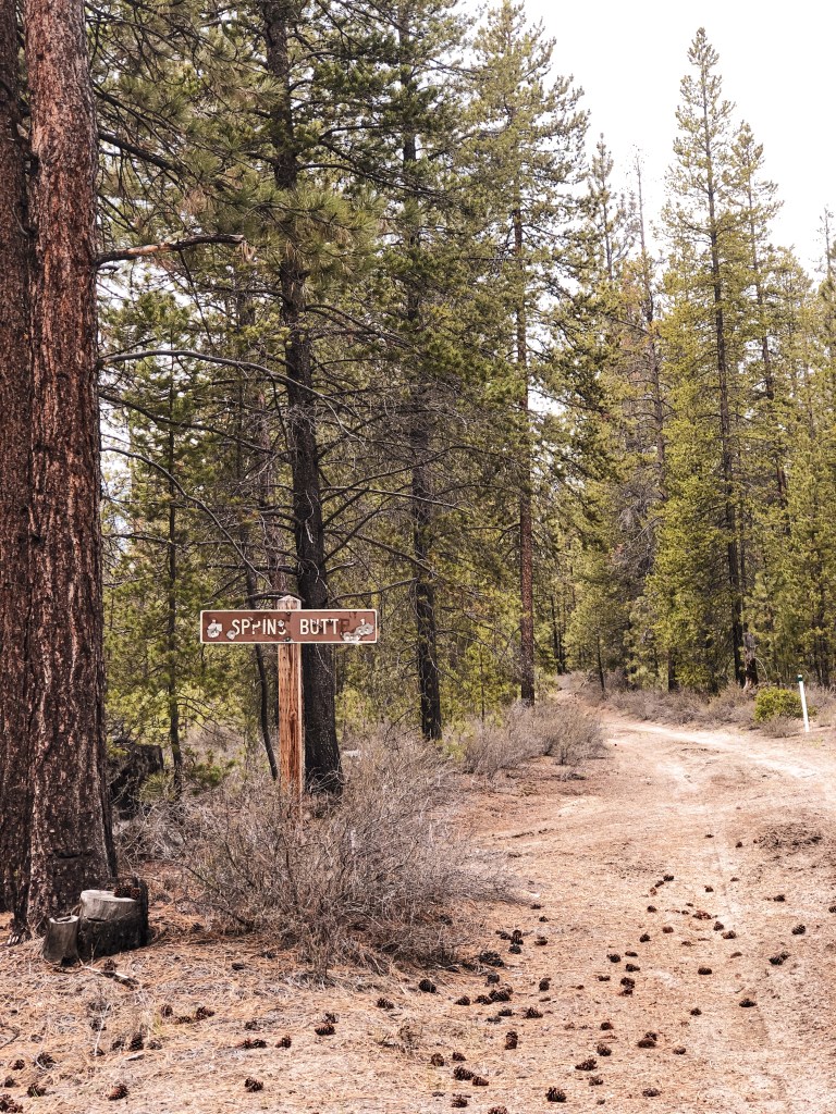
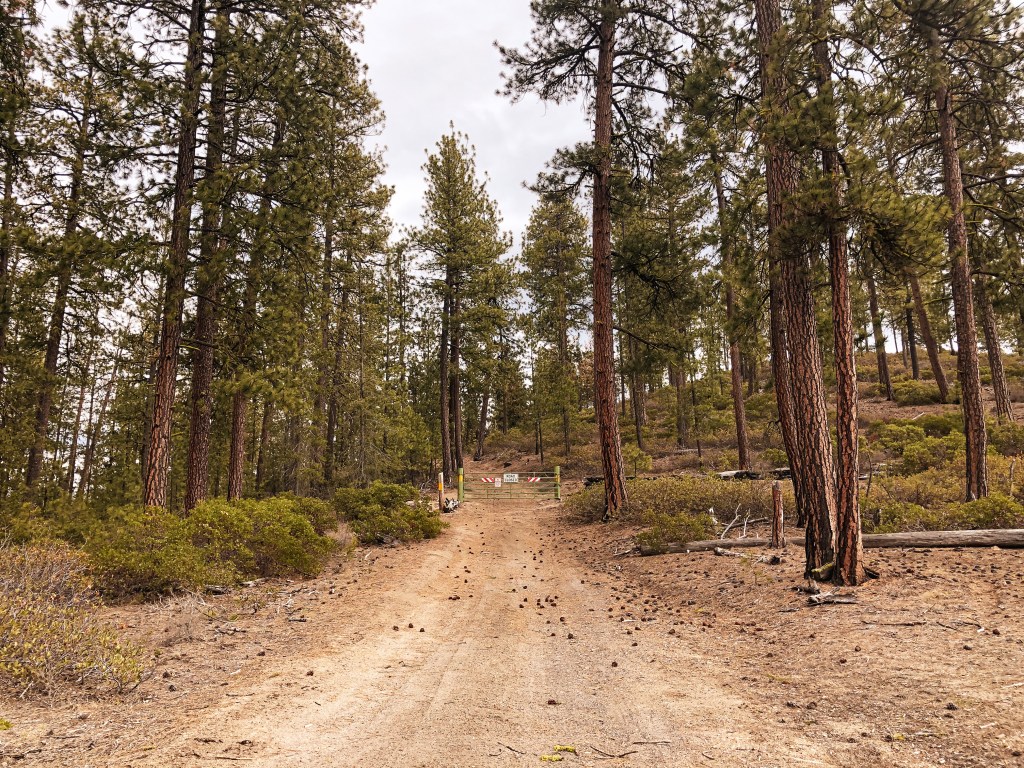
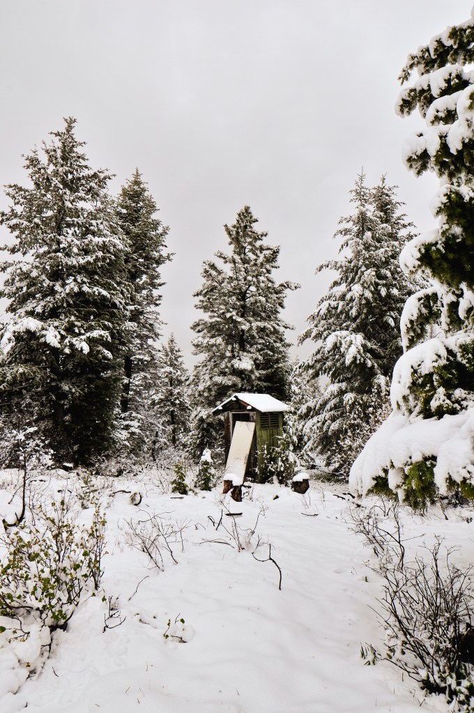
We woke up to snow flurries in the morning. It was cold but a welcome drier form of precipitation. Due to our previous day pre-pack, we only had to pack up our tent and sleeping gear before heading out. We shoved a quick bagel in our mouths and drove out of the forest back to HWY-395. Our plan was to head farther north on HWY-395 past Mount Vernon to Black Butte L.O. on the Malheur NF. We knew there was a nice dispersed camp along the road to the lookout thanks to an online source. From HWY-395, we turned left on CR-88 just after leaving the Malheur NF and before reaching the community of Fox. There will be a sign for Black Butte L.O. from the turn on the highway. You will shortly re-enter the forest after you head down this road. From here you will turn left on NF-3955, left on NF-3956, and then left on NF-034 to reach the summit. As we started to gain elevation on the road we realized we would be hiking in snow today. I parked the car a little after the junction with NF-3955 and NF-3956 due to additional snow on the road. The camp we were originally planning on staying at for the night had a fresh blanket as well. We would need to revisit that plan once we were back at the car.


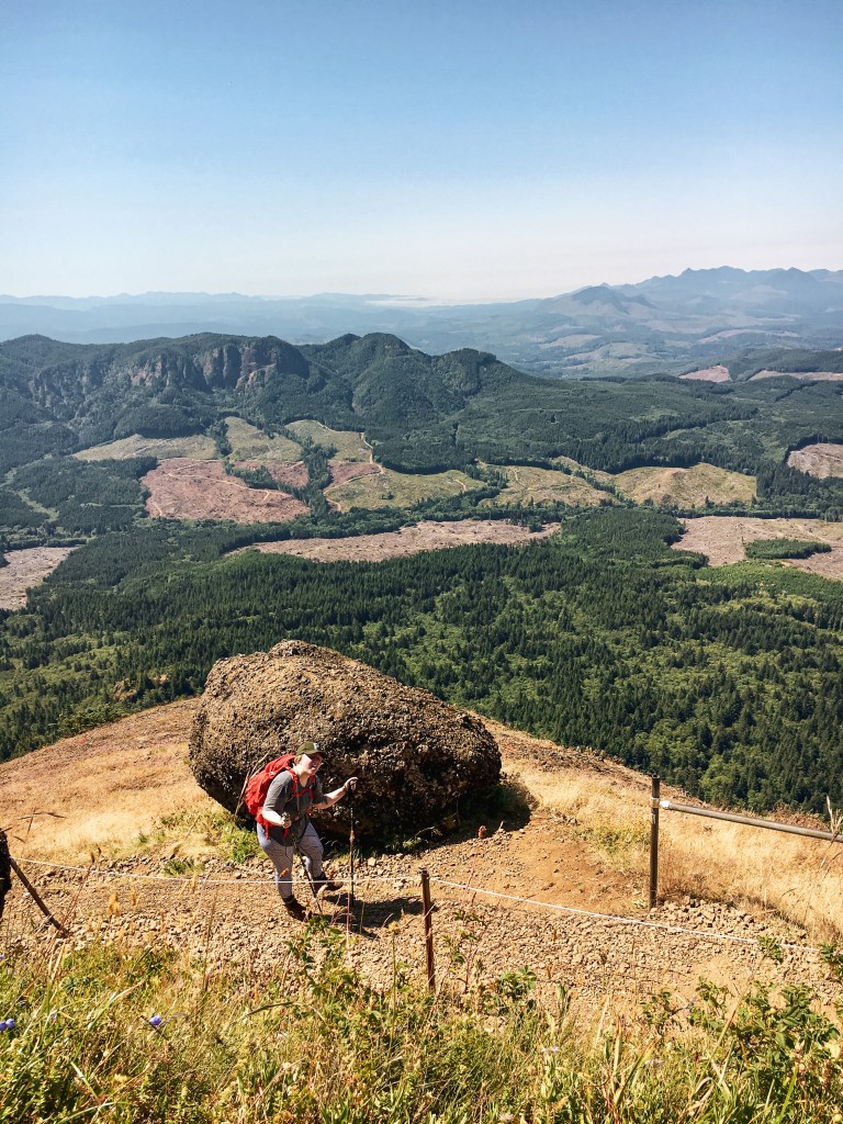
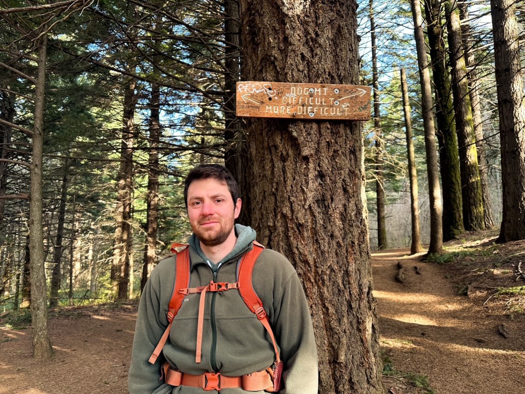
I was moving slower this morning and my partner had hiked ahead. I could still see him until he continued around a bend in the road. He had hesitated at a junction before continuing on straight. When I reached the junction myself I realized the road we needed continued to the left instead of straight. I headed straight to see if I could catch up with him but he was long gone. I mustered up all my lung power to call for him until he came back. Luckily, he wasn’t out of ear shot and was heading back shortly after I called out a few times. The road at the junction with NF-3956 is unmarked and can look like NF-3956 continues straight. There are road signs for NF-3956 though, so keep an eye out for those. If you reach the spur NF-146 on the right you have missed your turn. If you’re driving a grocery getter like me, you will want to park at this junction and walk the remaining 2 miles to the lookout. We couldn’t see the exact conditions of the road but even covered in snow it looked really bad with large rocks and wash outs.


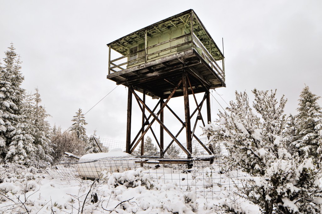
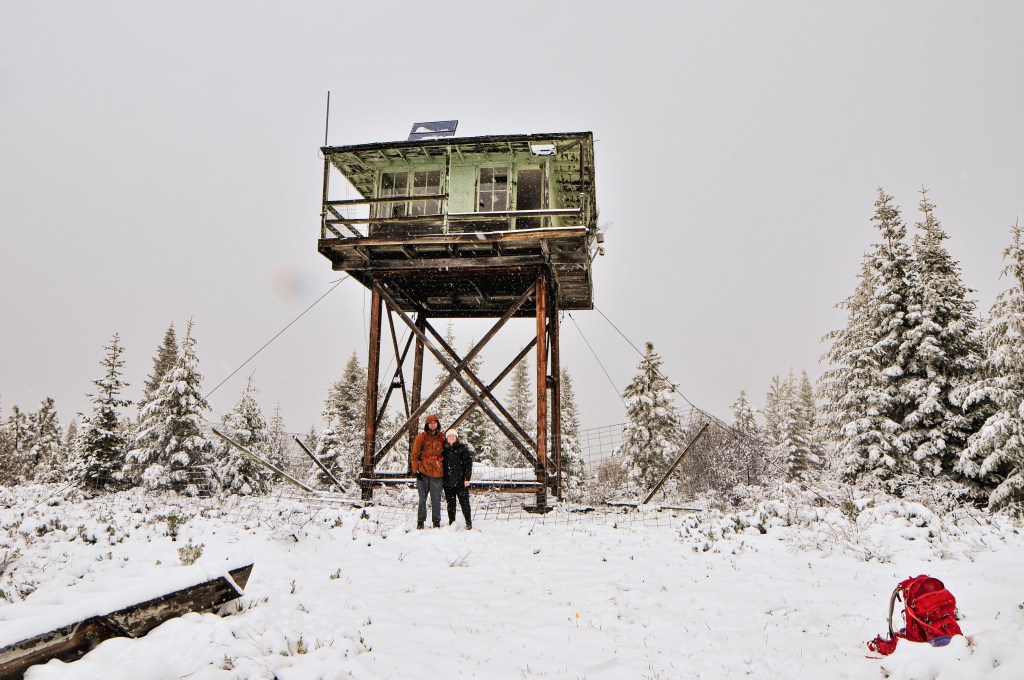
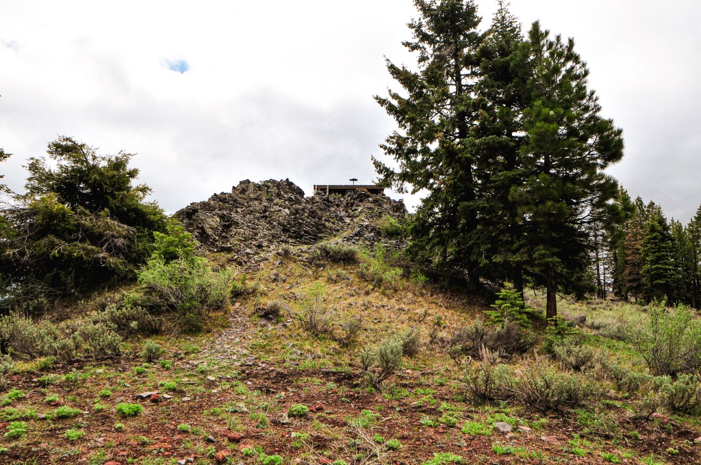
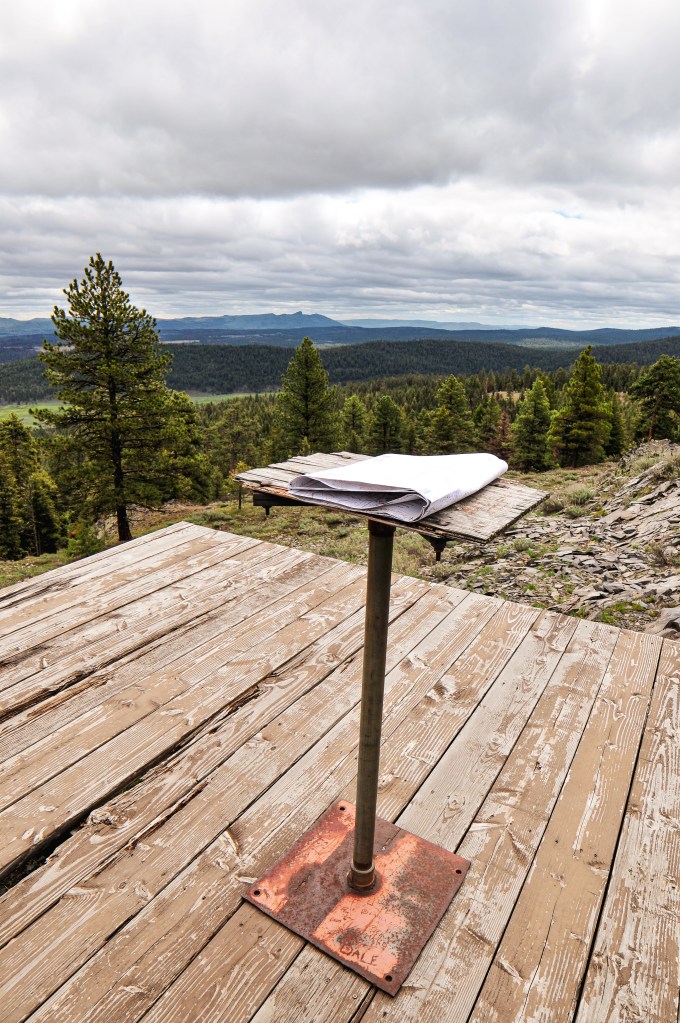
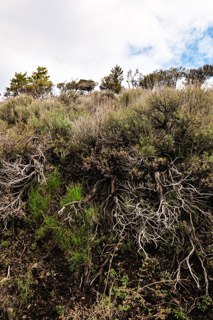
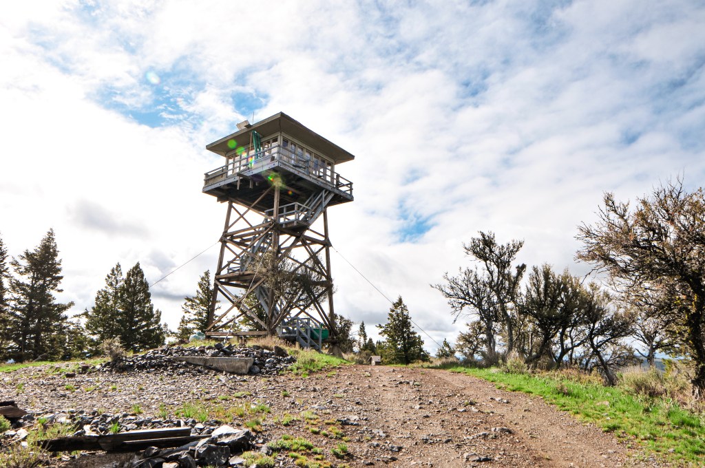
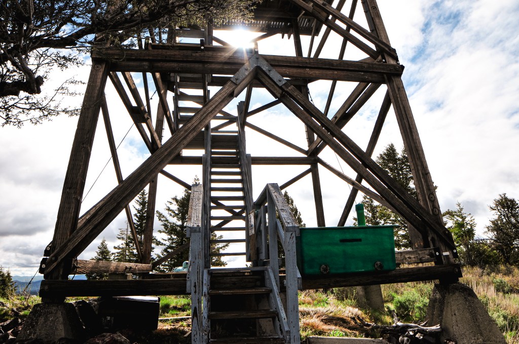
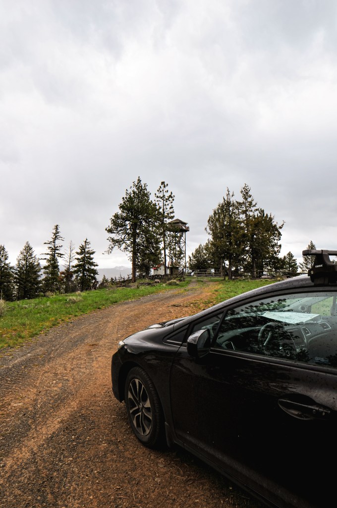
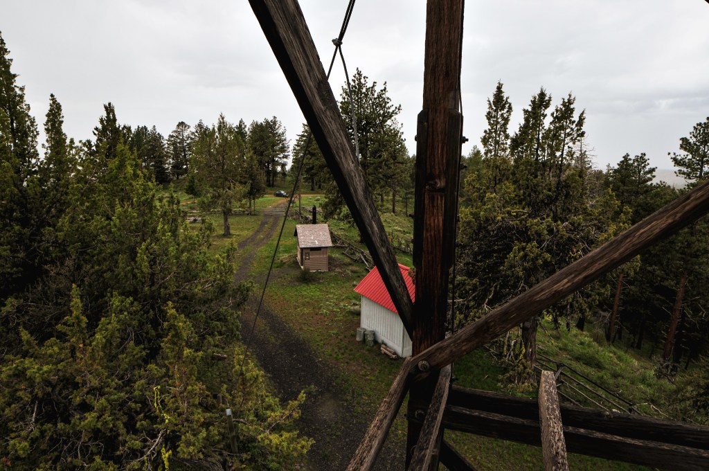
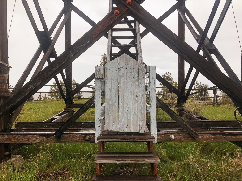
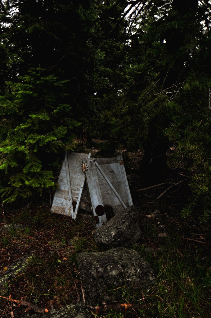
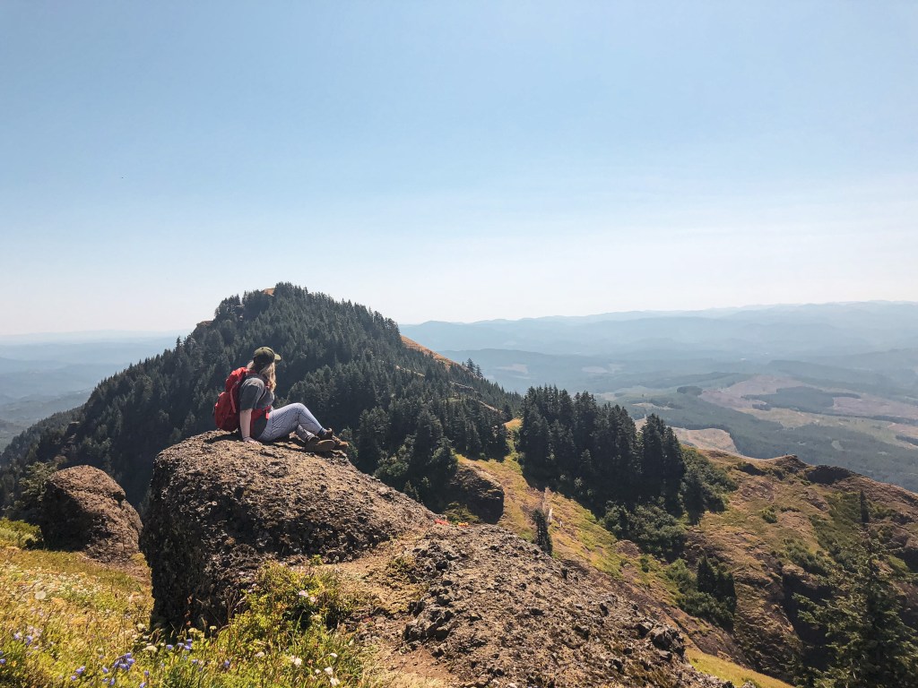
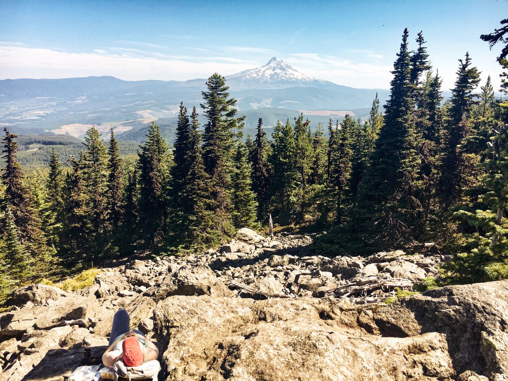
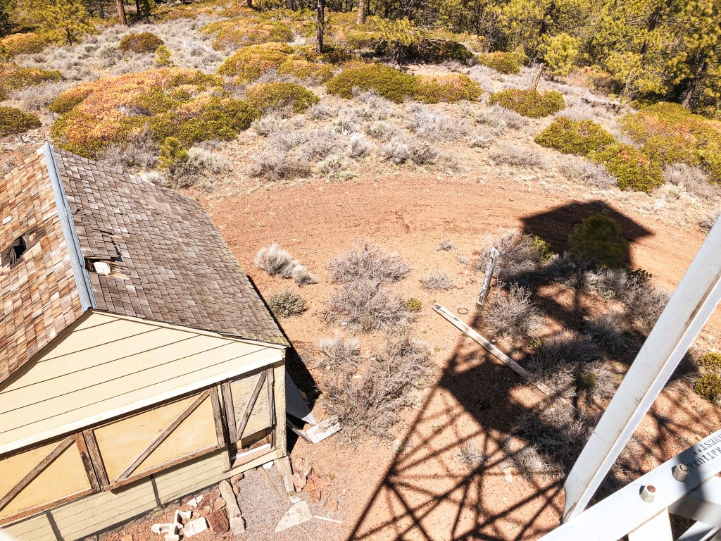
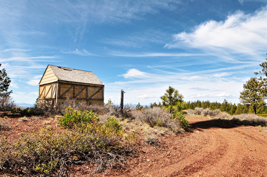
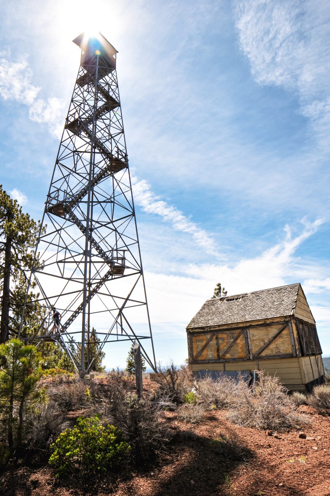
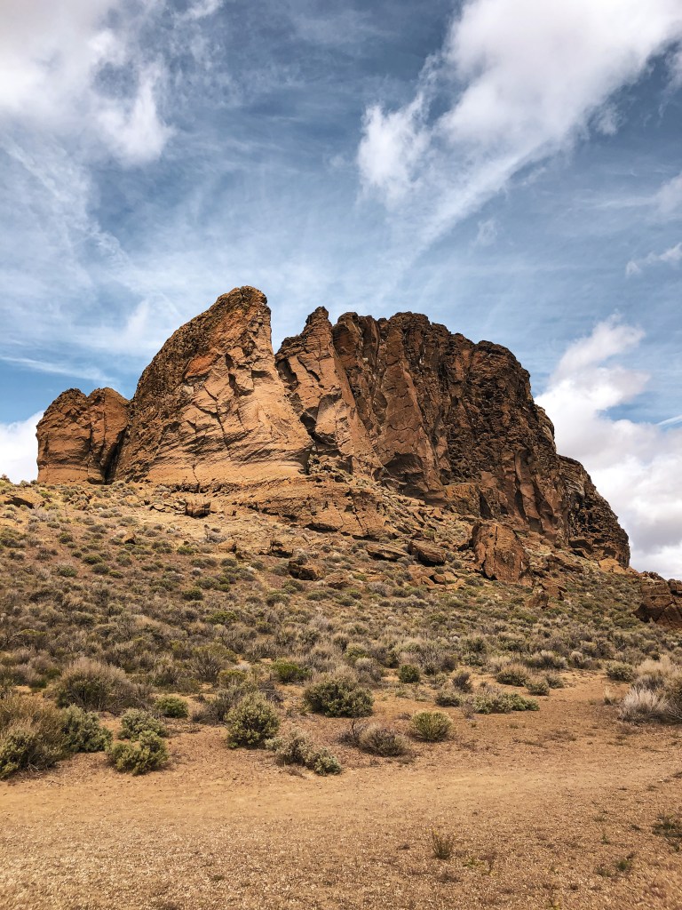
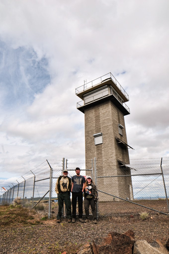
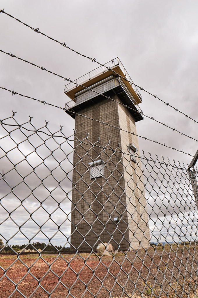
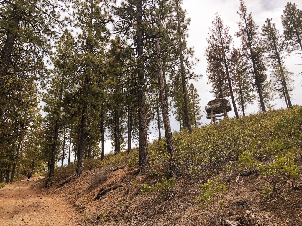
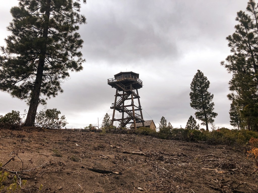
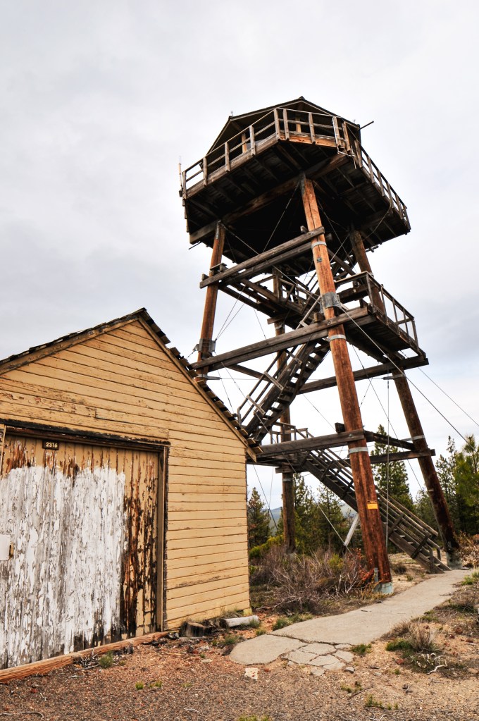
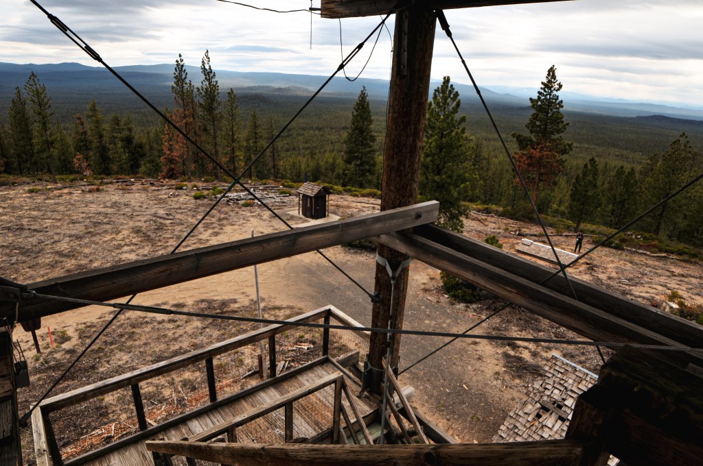
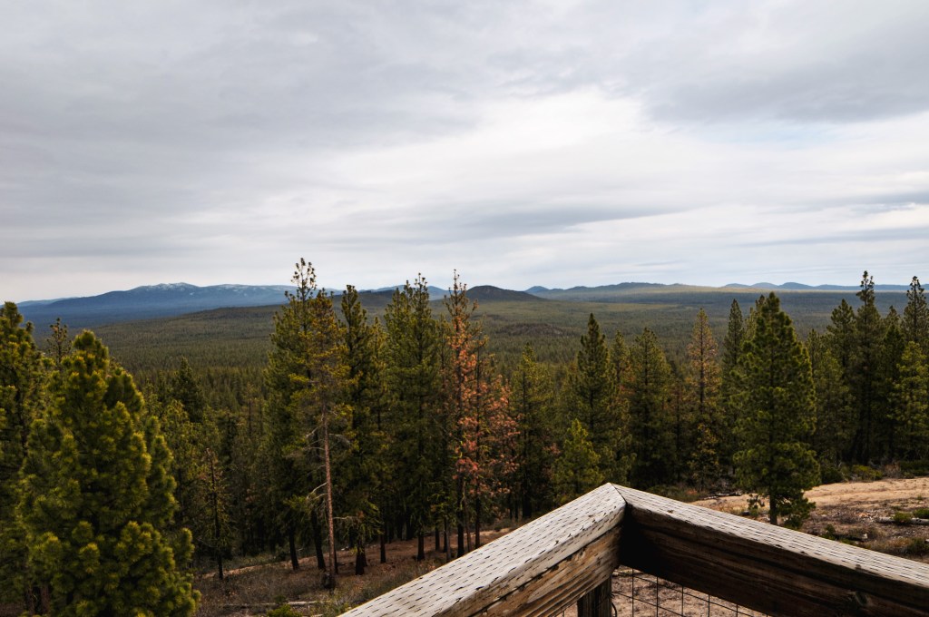
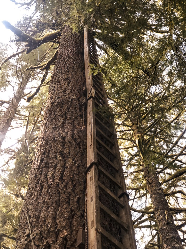
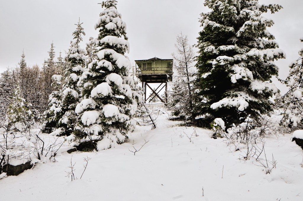
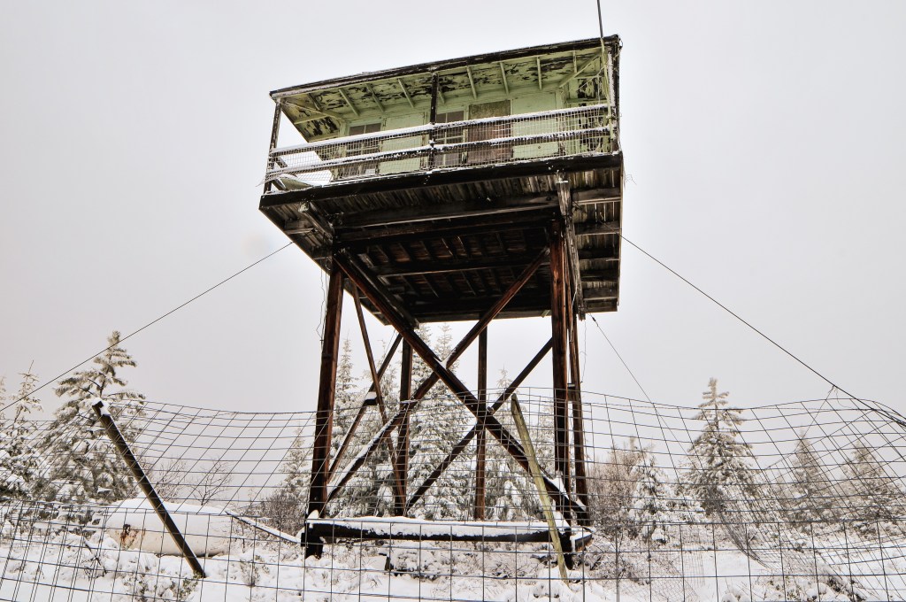
The fresh snow made the walking slow and we didn’t reach the summit until 2PM. It’s crazy to think just yesterday there was likely little to no snow here, but it now had at least 3 to 4 inches. Can you believe it’s the end of May?? As much as I complain, I know this precipitation is good for the east side and will hopefully delay the impending fire season. The lookout on Black Butte has seen better days. The solar panel is surprisingly still there, but they have removed the stairs and added a fence around it to help deter vandals. We briefly enjoyed the summit since it was cold and still snowing here and there. We once again said our good byes to Black Butte before hiking down since it is expected to be removed by the Forest Service. After 4 miles of cold feet, we decided camping in the snow sounded less than ideal. It seemed a bit ambitious to add Ritter Butte L.O. (post) to our agenda for the day, but we concluded our best bet for drier camp spots was to continue on to the Umatilla NF.
History.
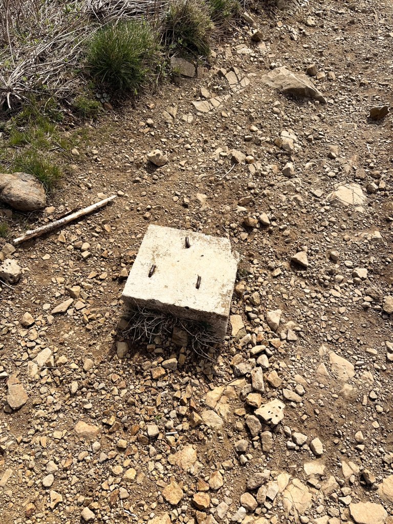
Black Butte L.O. was constructed in 1933 as a 20′ tower with L-4 cab and still stands today. The tower legs, trap door, and roof were all replaced in the 1960’s. The foundation was later replaced in 1994. It was staffed during emergencies up until more recently. As of 2017, the structure has been listed as condemned and is slated to be removed by the Forest Service.