Location.
Umpqua National Forest
Status.
Active; Currently standing
Estimated drive time from Portland, OR.
4 hours
Date visited.
July 3, 2022
Elevation.
5,933′
National Historic Lookout Register.
US 472; OR 69
Trip Report.
Day 9/10: Lookout Road Trip 2022
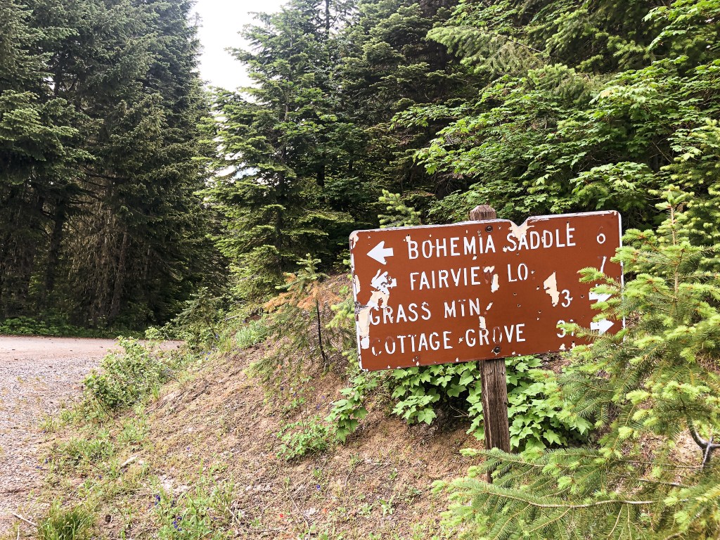
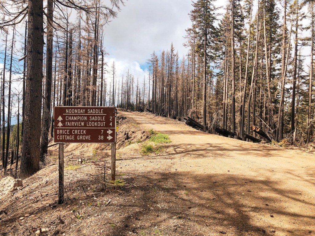
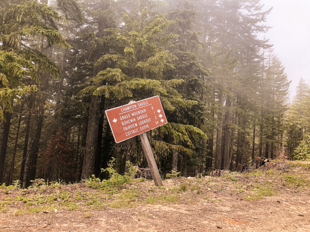
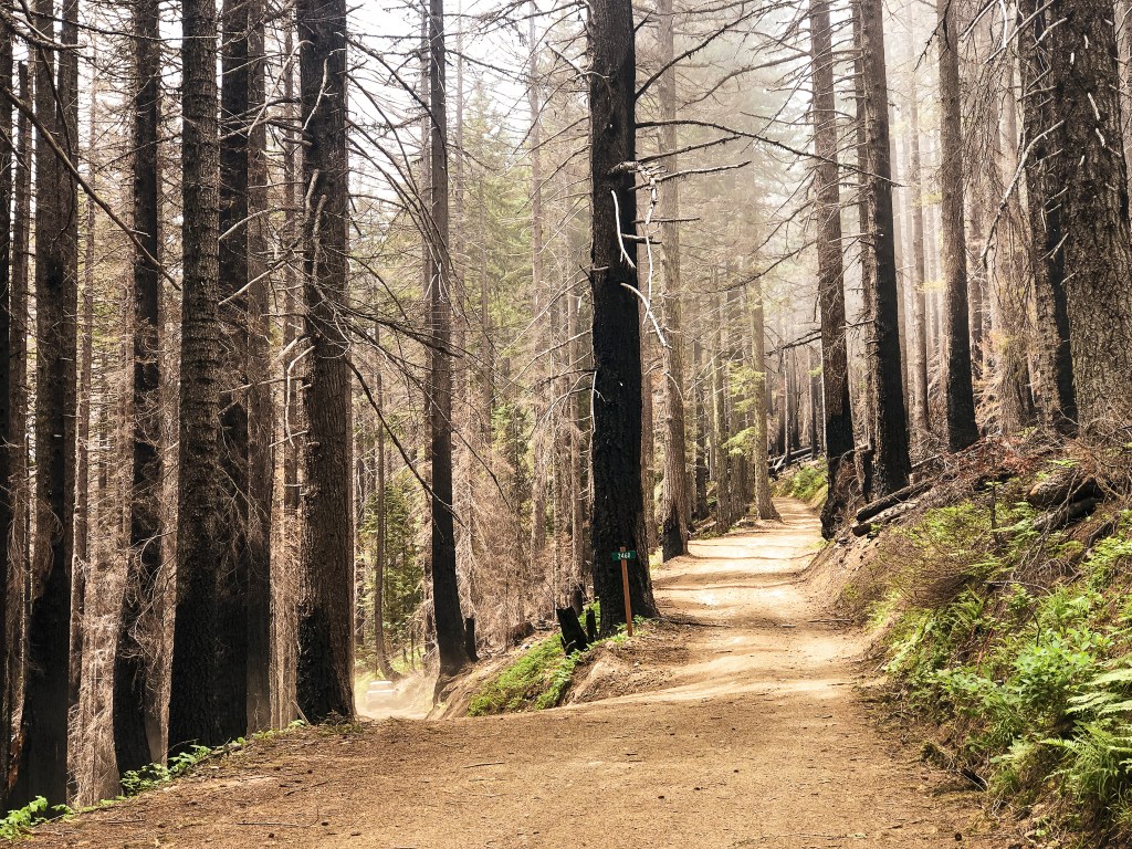
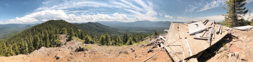
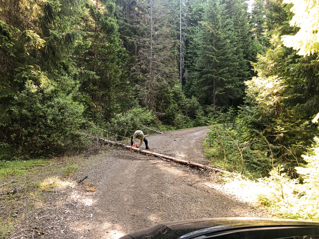
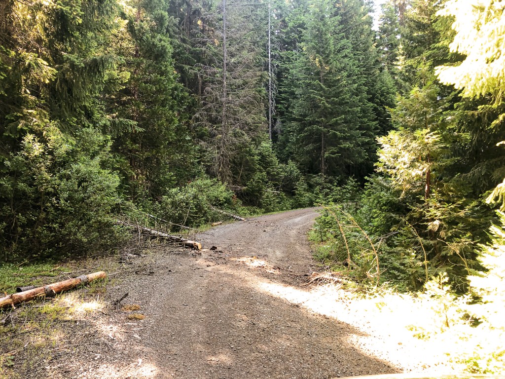
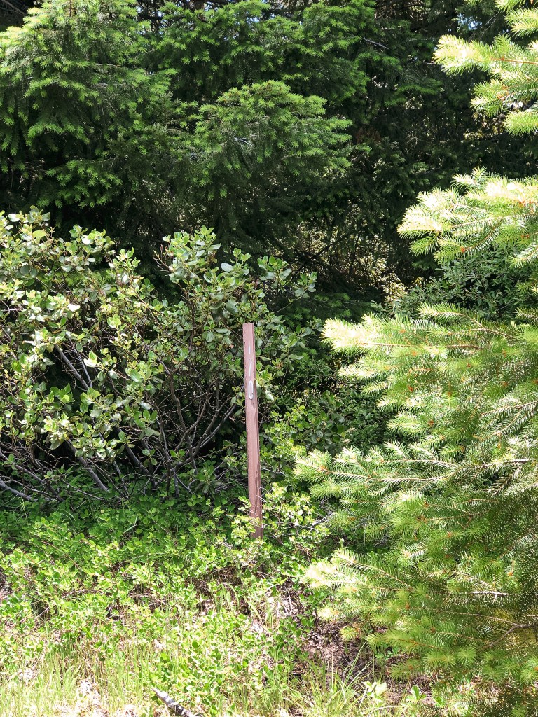
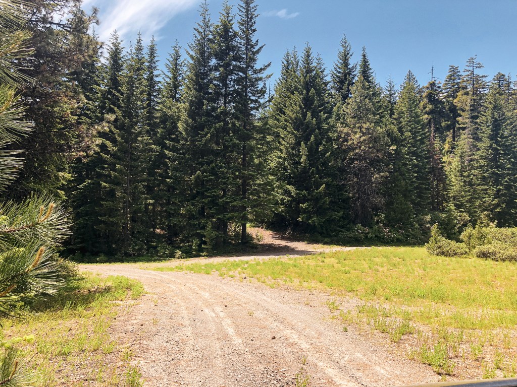
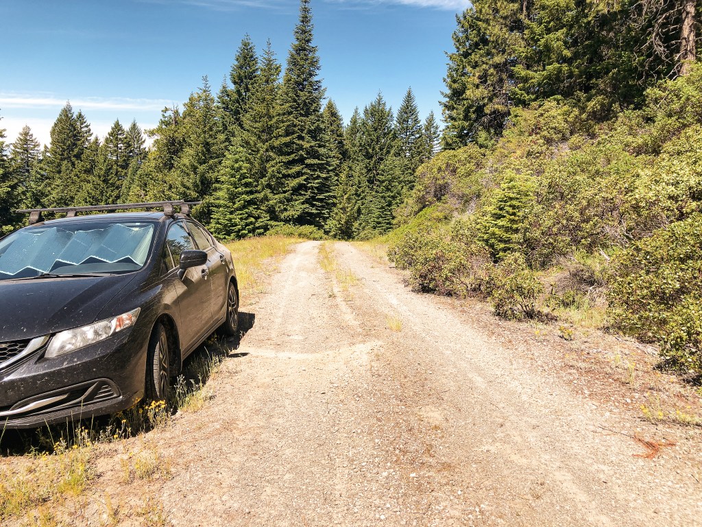
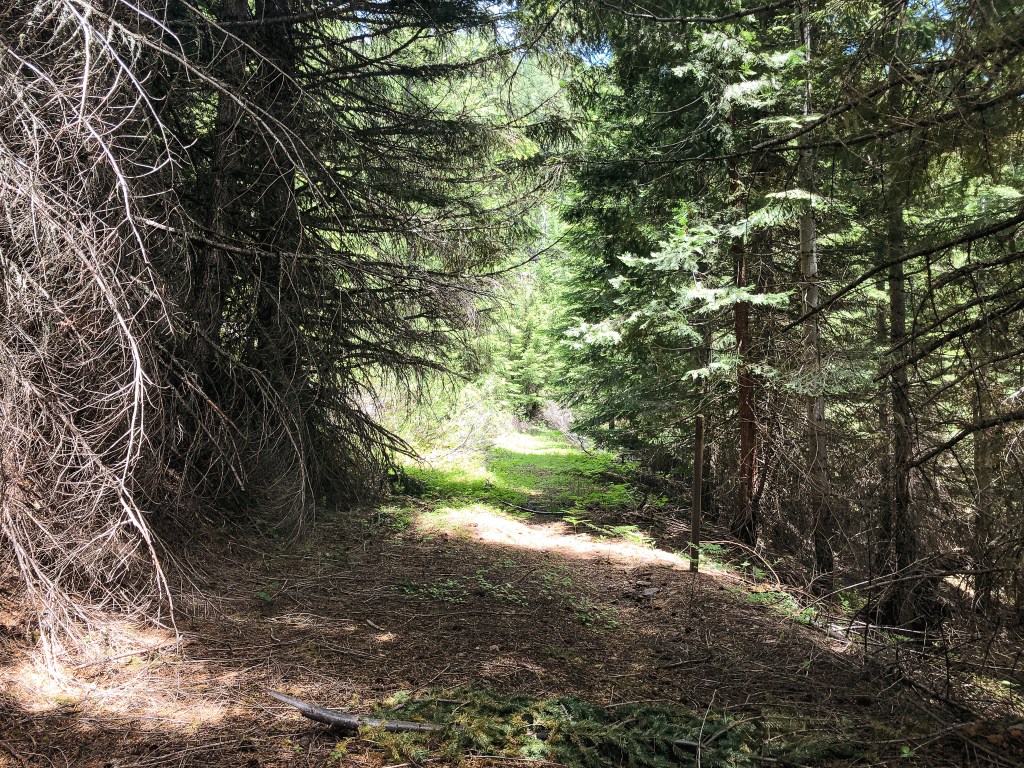
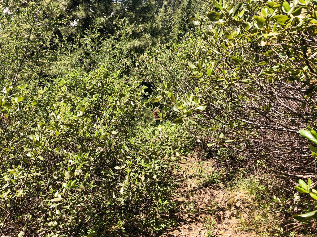
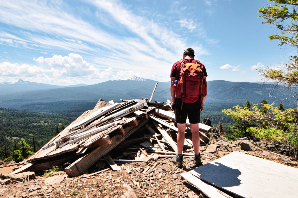
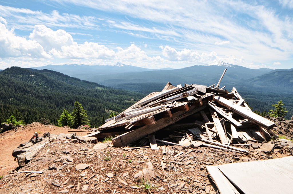
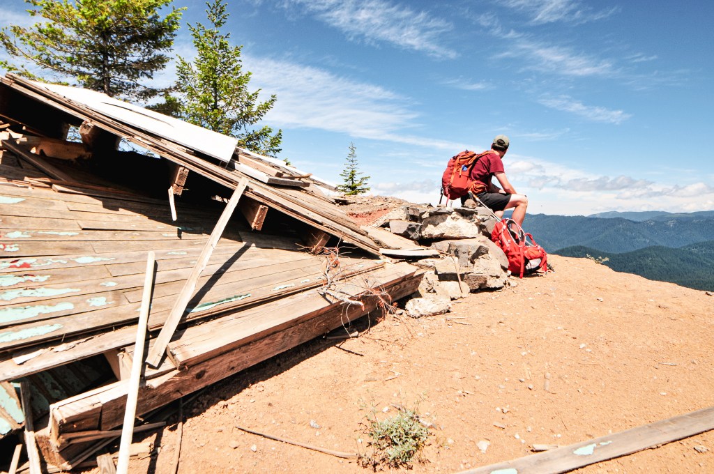
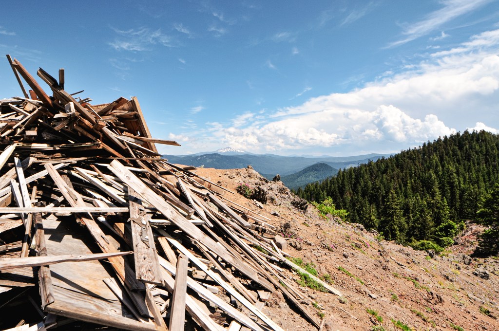
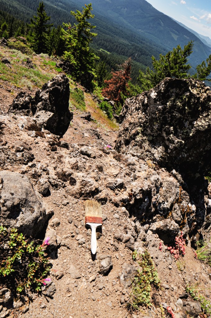
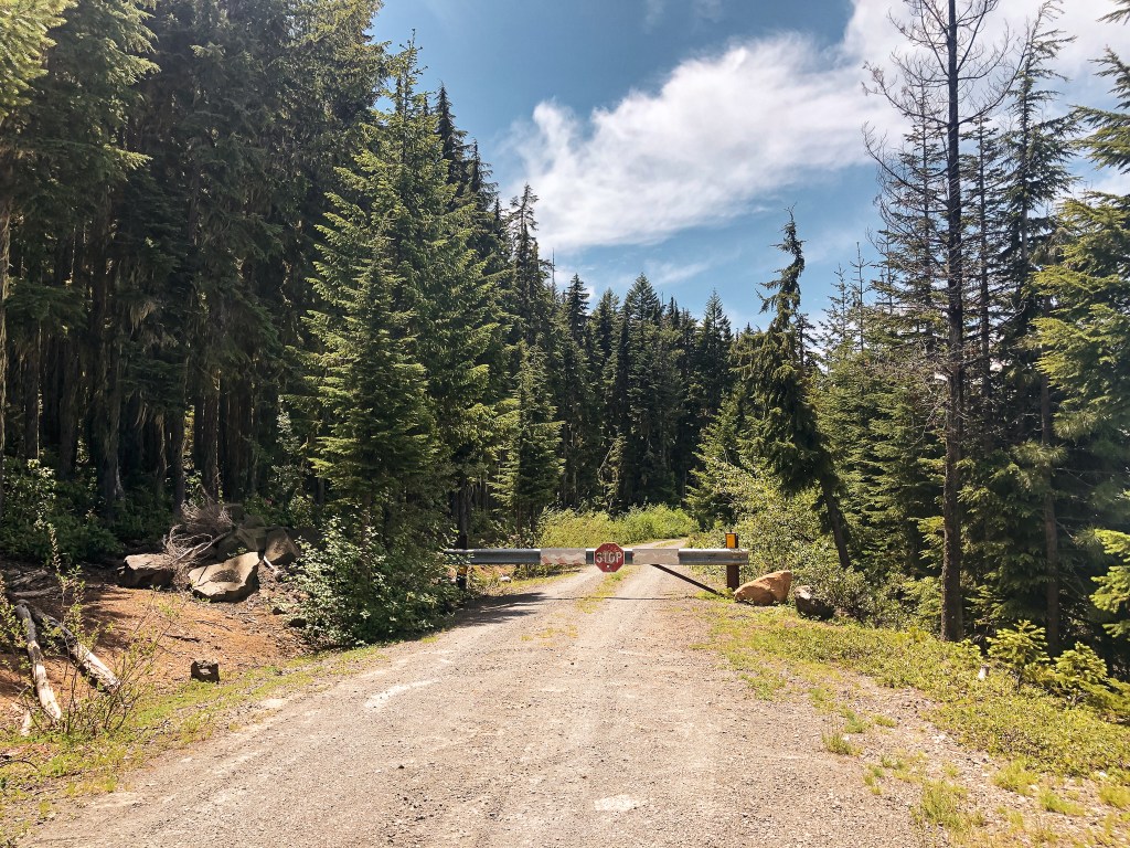
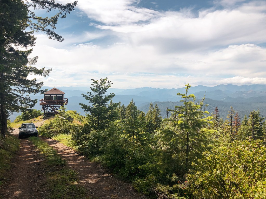
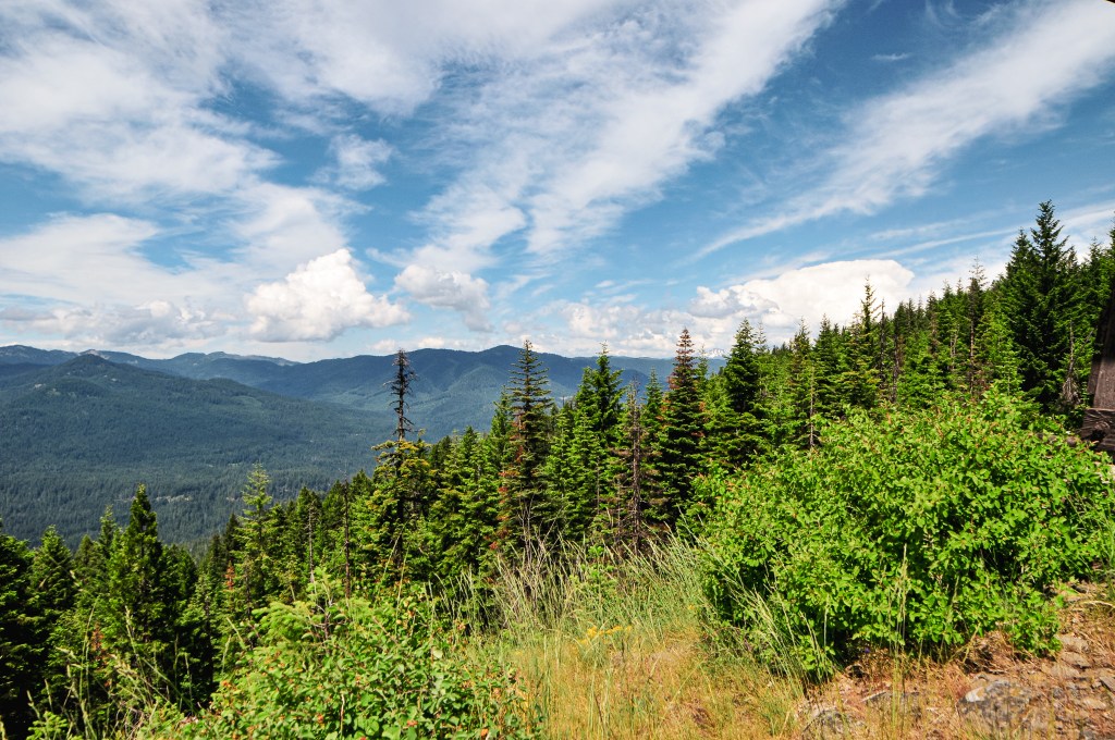
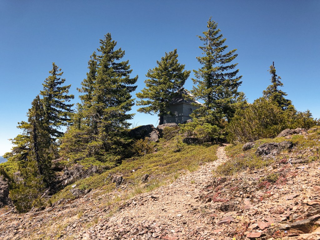
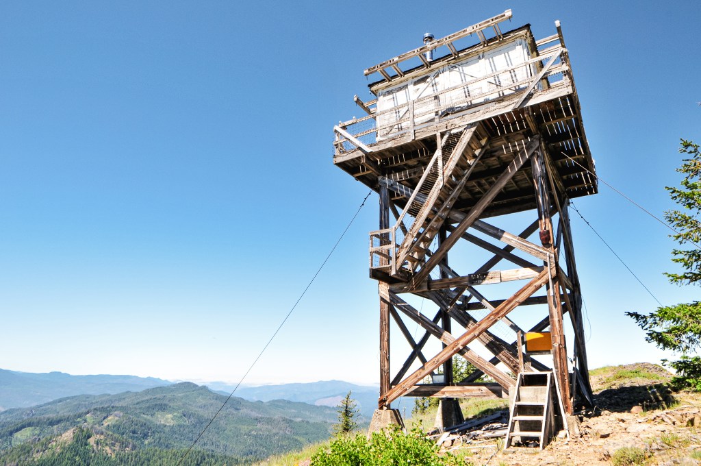
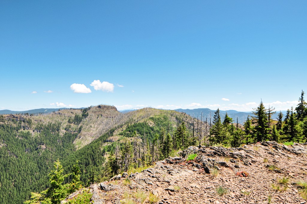
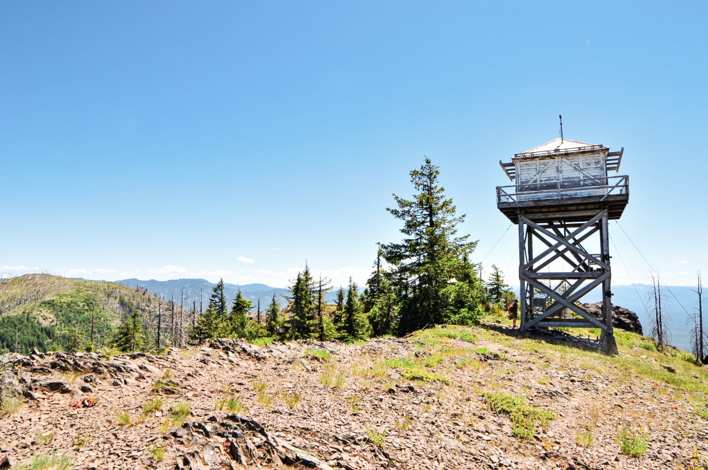
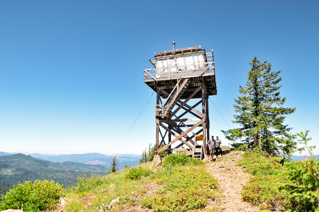
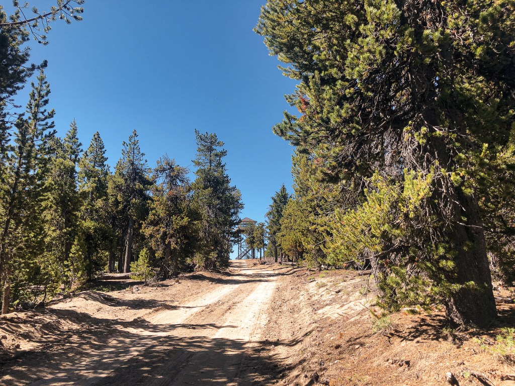
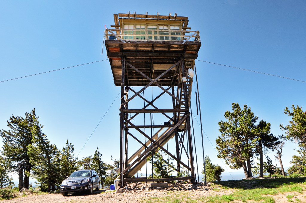
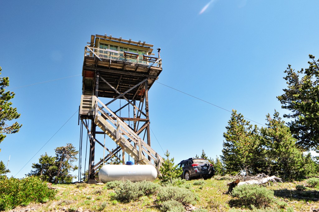
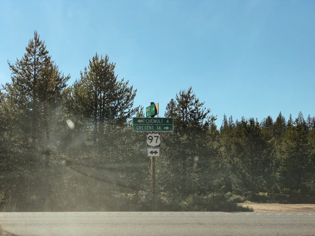
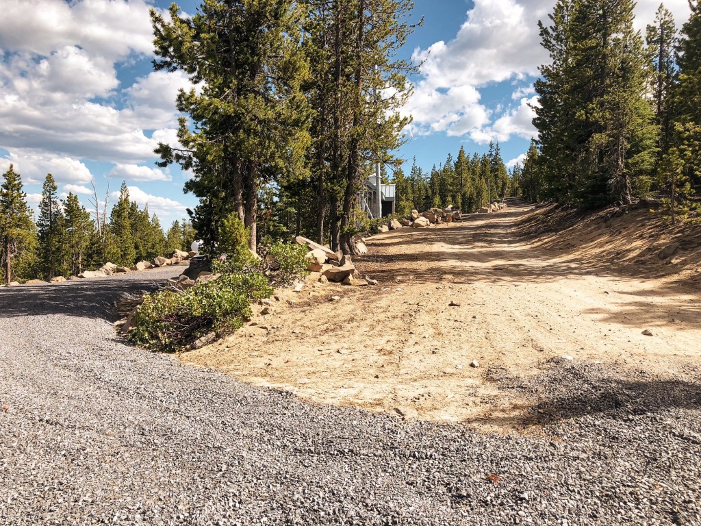
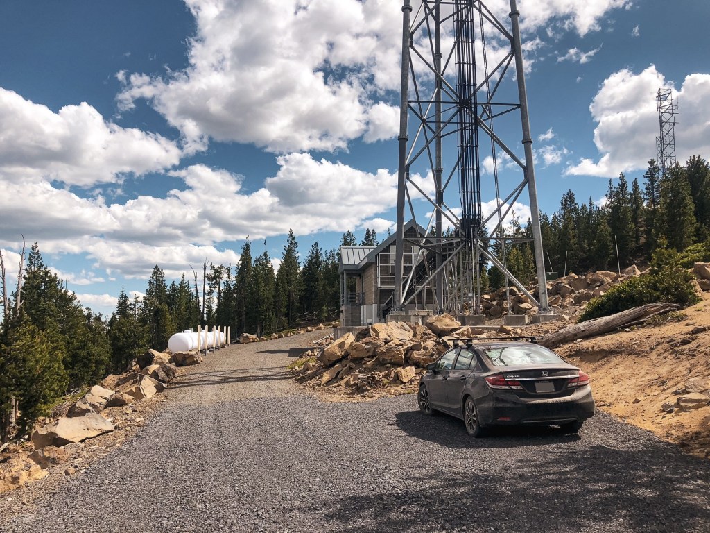
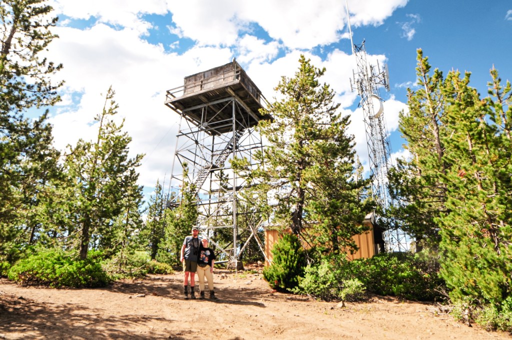
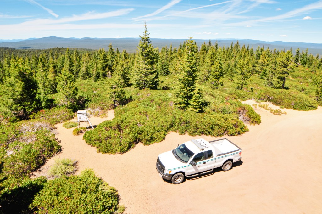
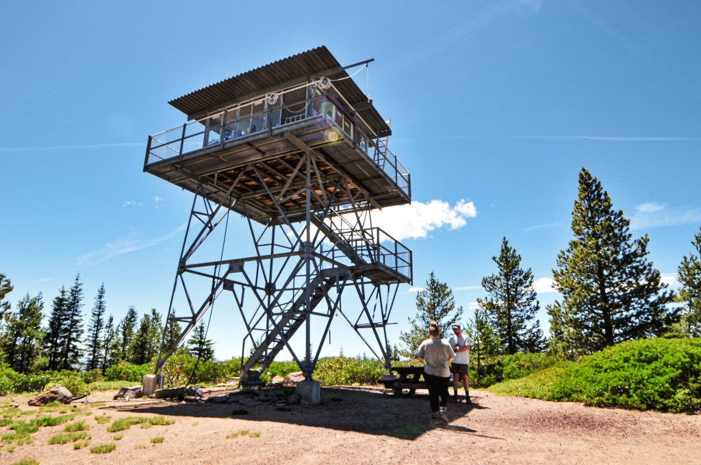
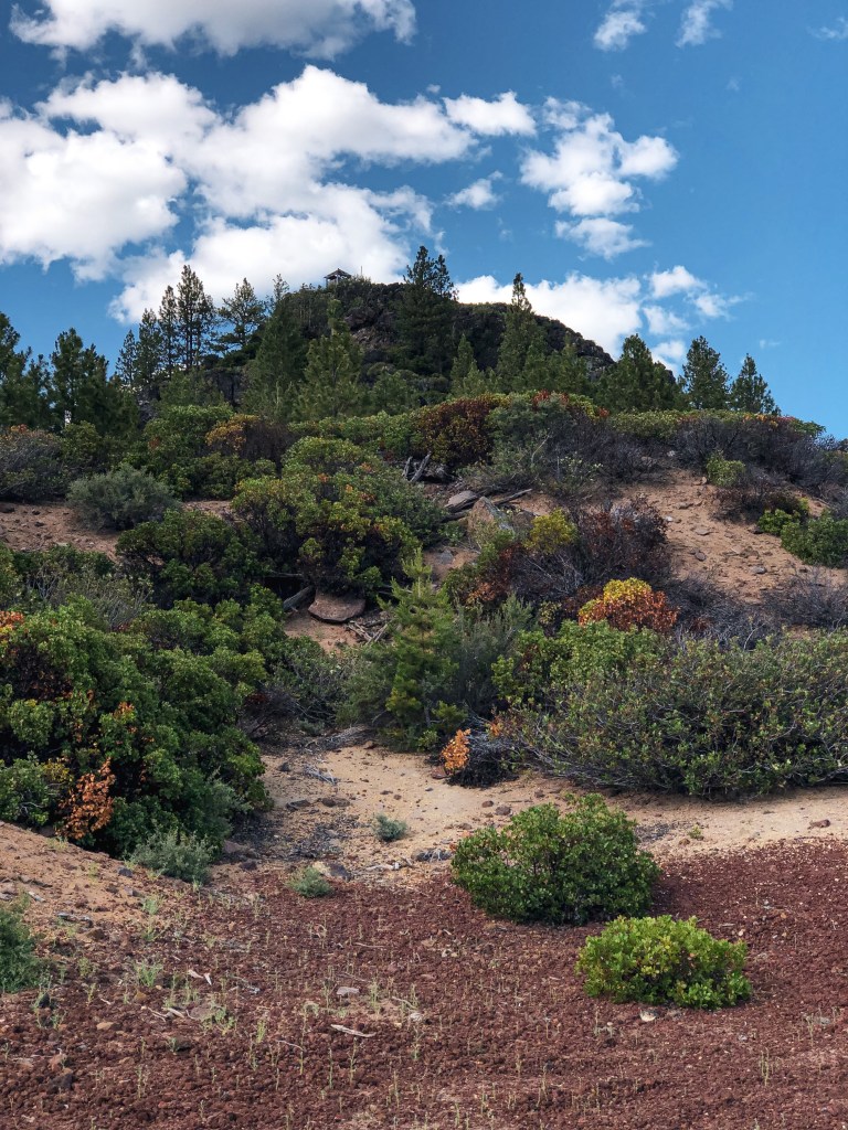
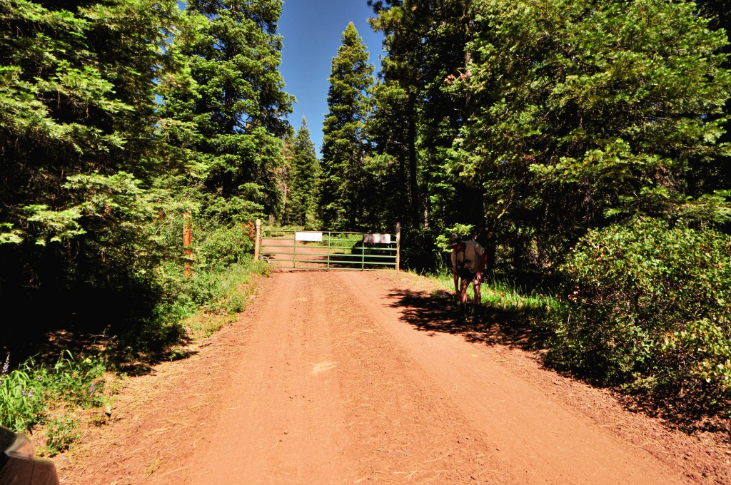
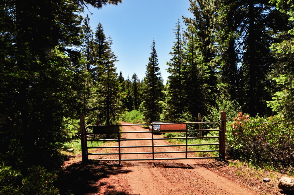
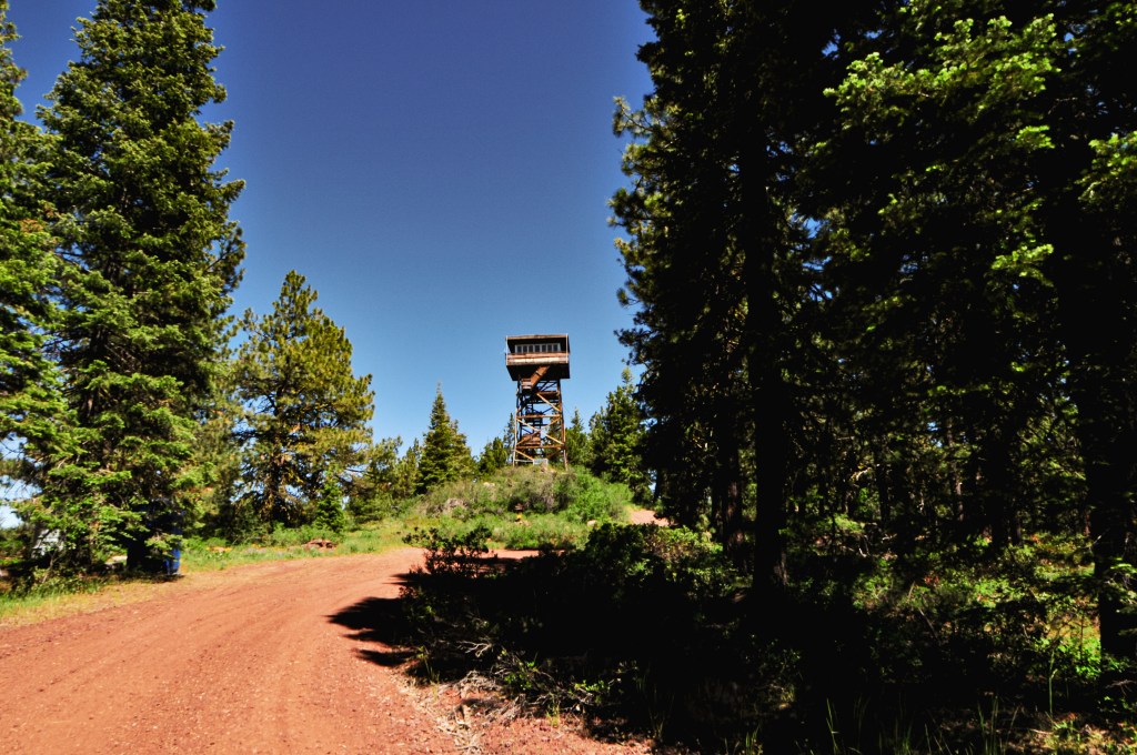
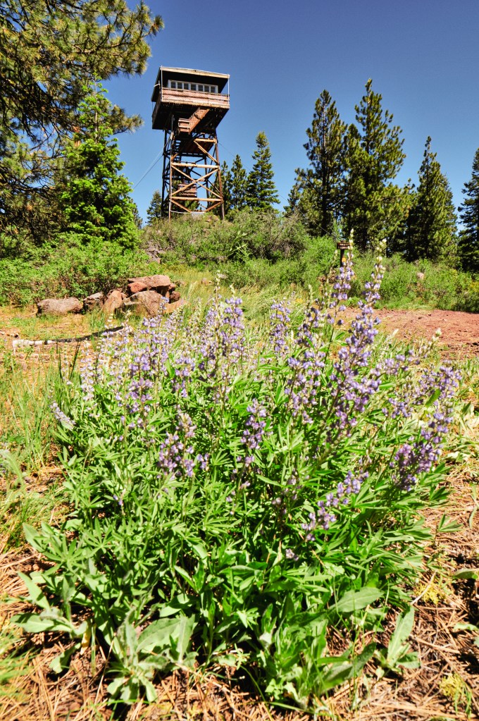
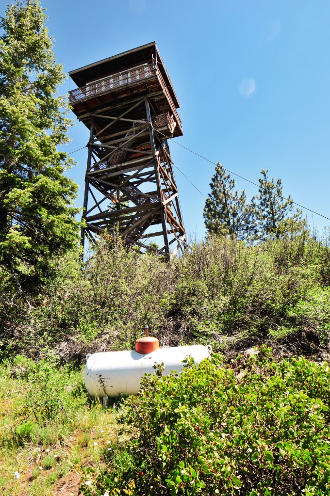
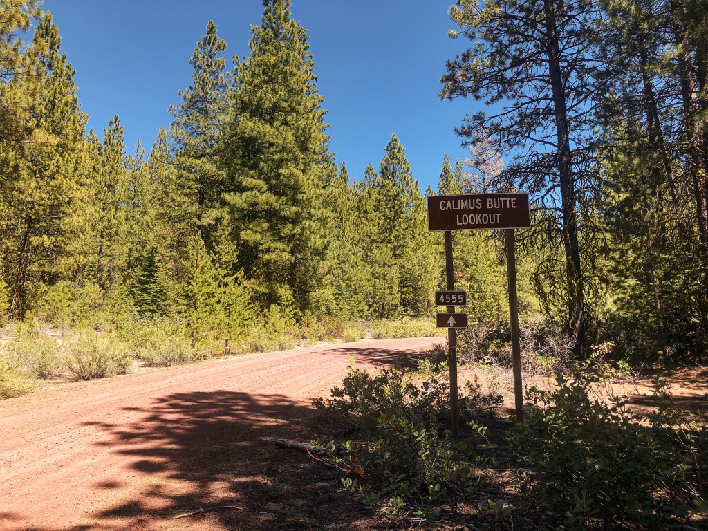
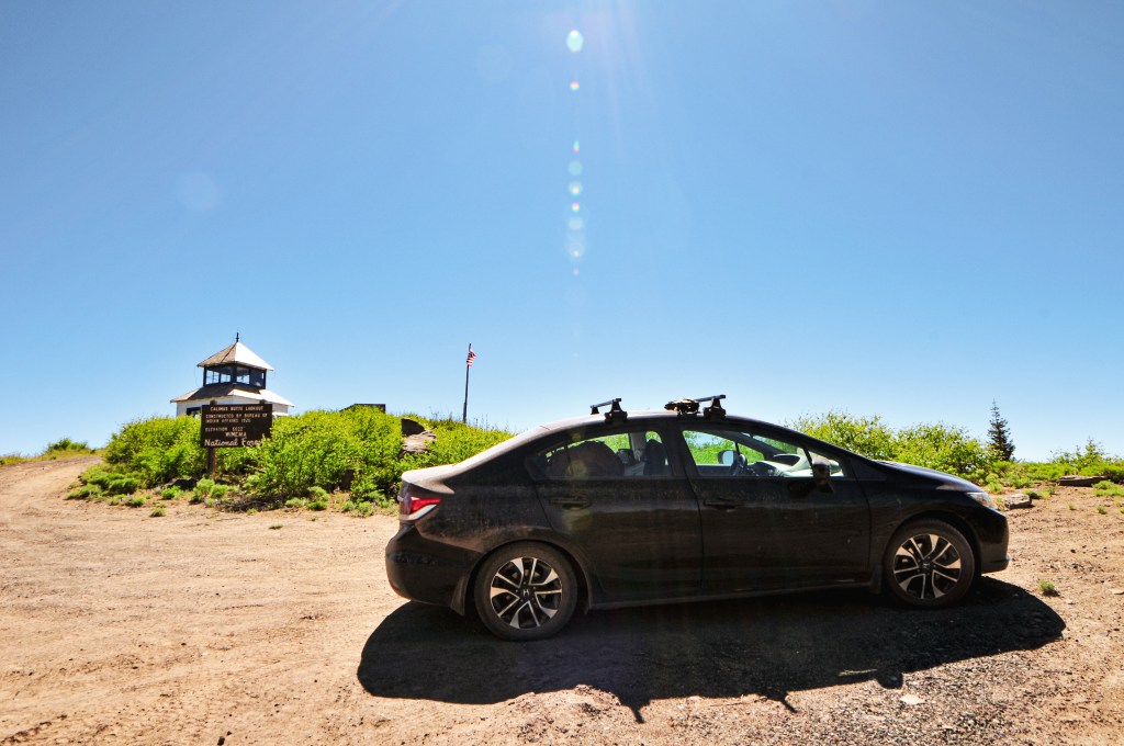
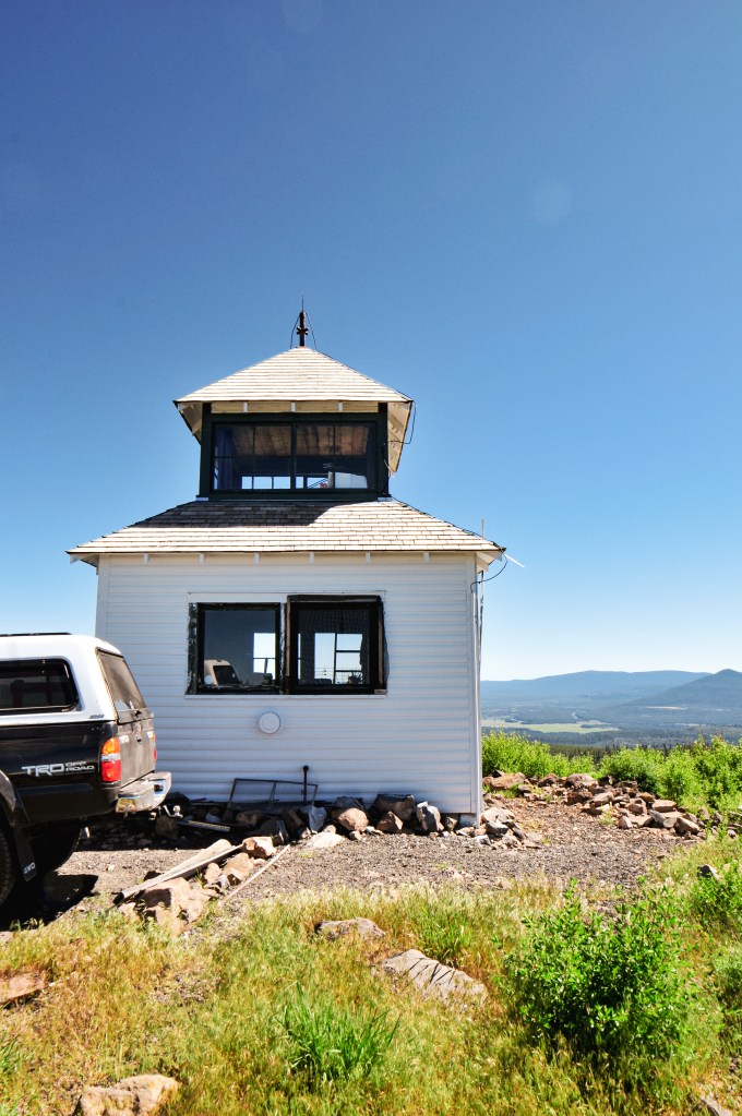
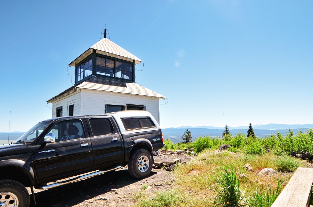
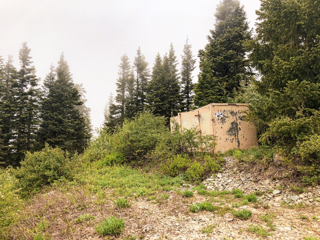
It was our last full day and we had already hit all of our expected fire lookouts for the trip. We had now moved on to our “if we have time” list which left Fairview Peak as our next alternative. We decided to pack up and move camps for the last night. This would set us up closer to Cottage Grove and make our drive home the next day shorter. This time the pavement route around the forest was significantly longer than cutting through on potentially iffy roads. We decided to risk it and headed up NF-38 to connect via NF-3831. NF-3831 is in relatively decent shape, but still required caution. We had to buck up a small tree, ride a few high lines, and move some rocks to get by. Eventually NF-3831 ends at a T-Junction where we took a left on to NF-2213. This junction used to be a four way junction but the NF-925 road has since been decommissioned. There was still a worn out sign for it though. Along this route, we found some impressive old growth Douglas Fir. NF-2213 will take you to another T-junction where it continues off to the right. We turned left here on to NF-767. This was another unsigned road, but there was a sign for Fairview Peak L.O. and Bohemia Saddle. It was roughly 8 miles of gravel roads from NF-38 to NF-767. Surprisingly, NF-767 was the best of all the roads with minimal hazards. It follows along the Calapooya Divide for a little over 2-1/2 miles to connect with NF-2212. There was another sign at this junction pointing towards Fairview Peak. We turned left here. NF-2212 goes directly through the burn area from the Rough Patch fire in 2021. The road was rough, rocky, and full of pot holes from here. It eventually meets up with County Road 2460 at another signed T-junction. The road conditions here were just as bad. We ended up parking in a pull out just before the Musick Guard Station where the road heads steeply up to the Bohemia Saddle. We road walked the remaining distance to the saddle and lookout. At the Bohemia Saddle, there is a large parking area with a trailhead for the Bohemia Mountain trail. The road to the lookout is directly across the saddle from the trailhead. It can be distinguished as the only road continuing up and by the gate with a fire lookout icon. The gate was open during our visit, but I assume they typically close it.


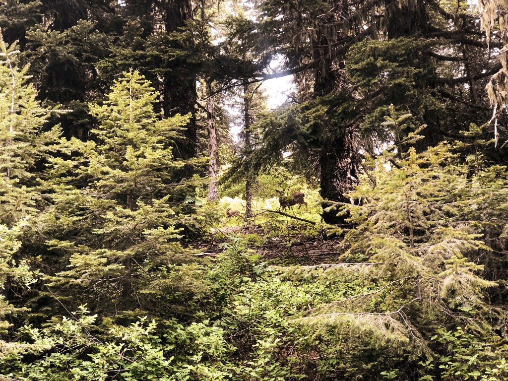


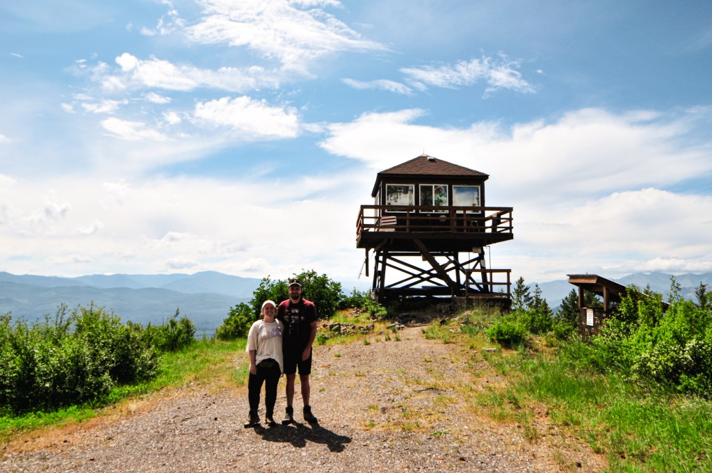
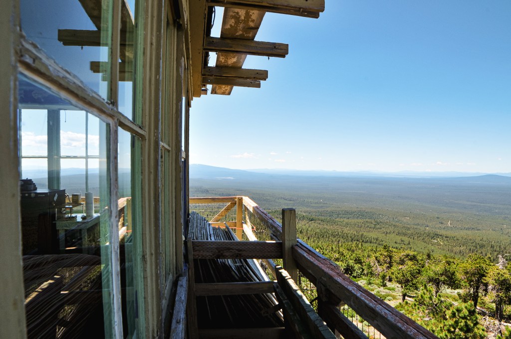
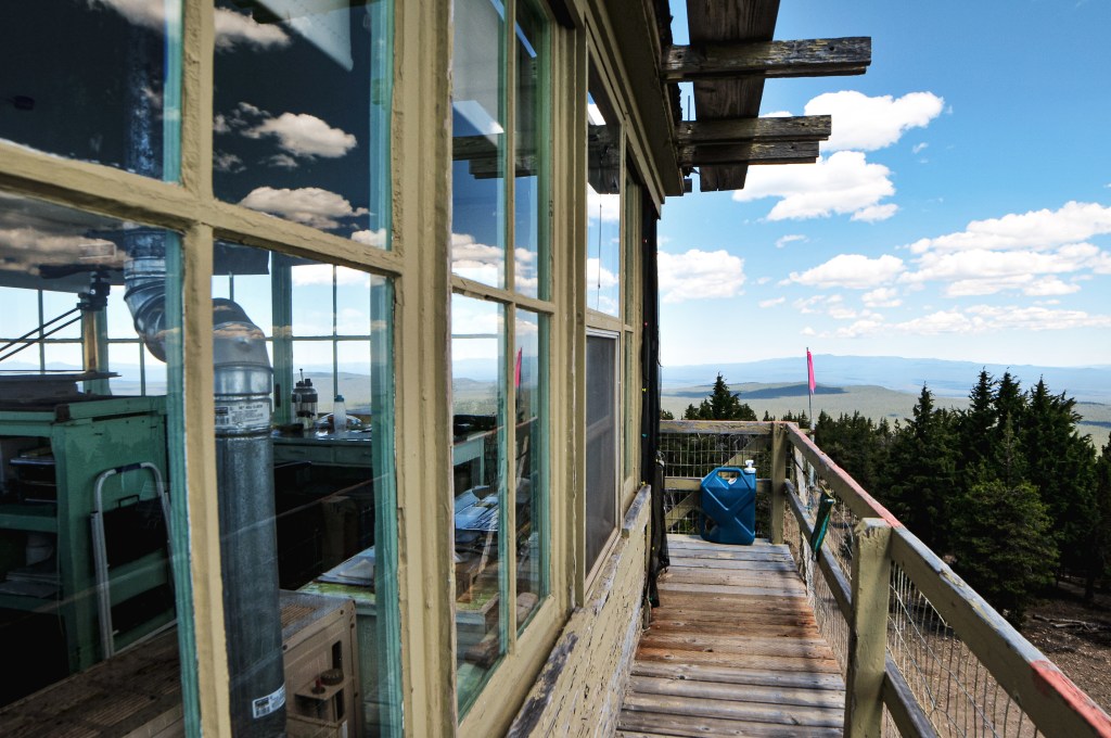
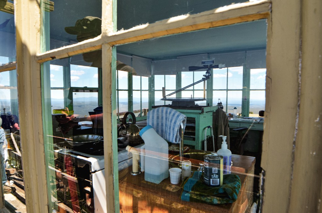
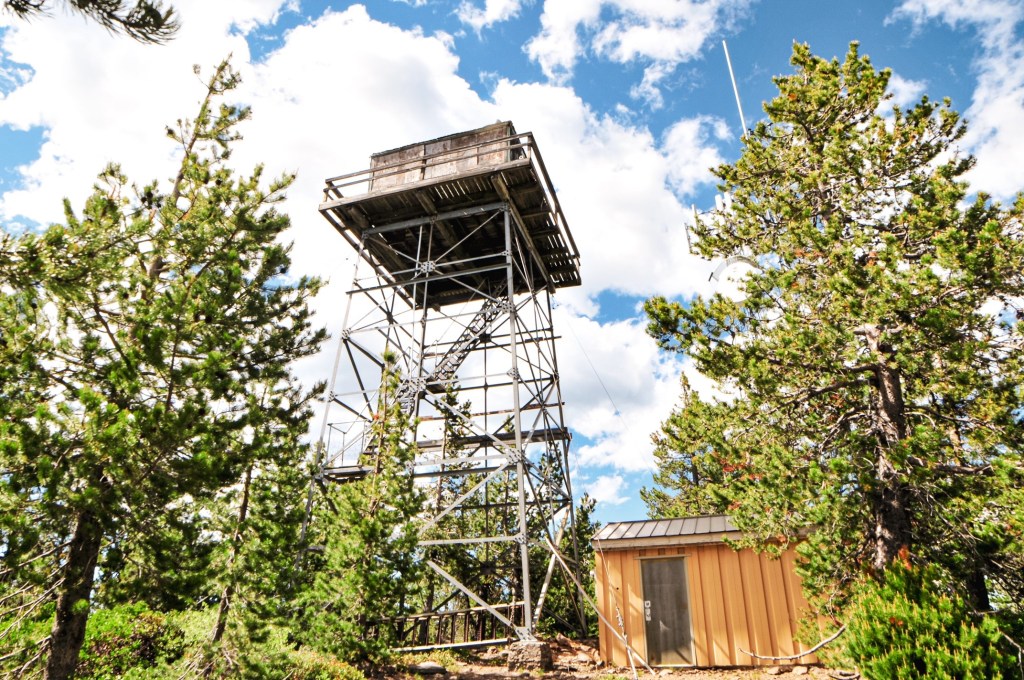
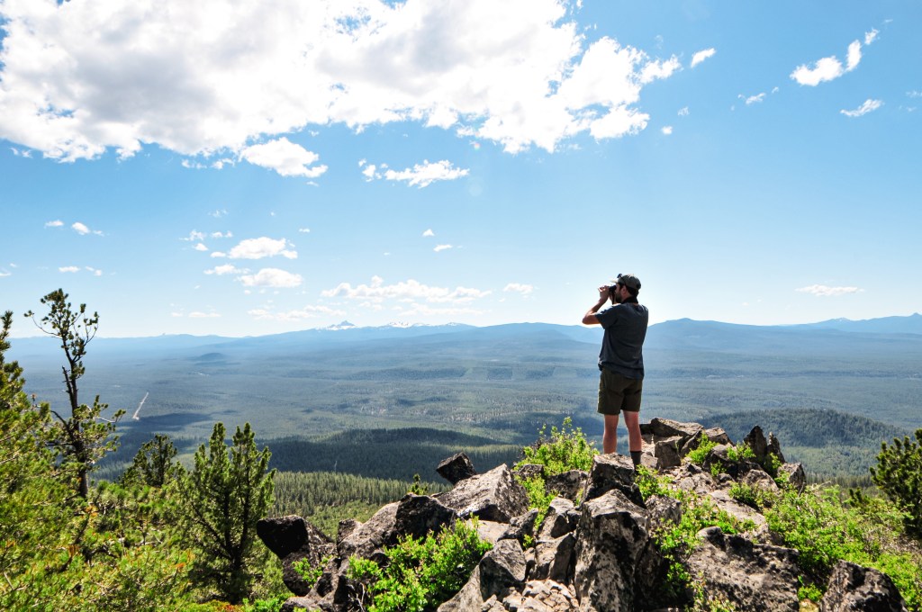
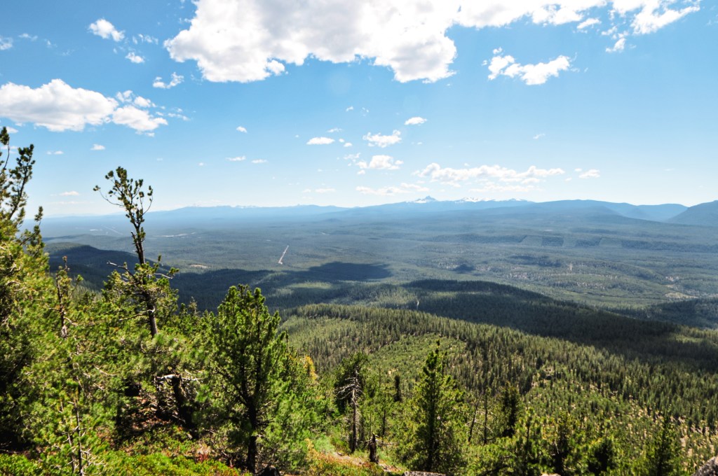
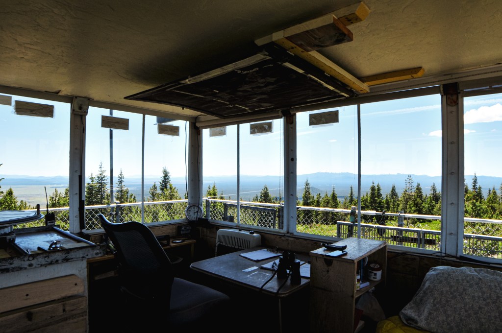
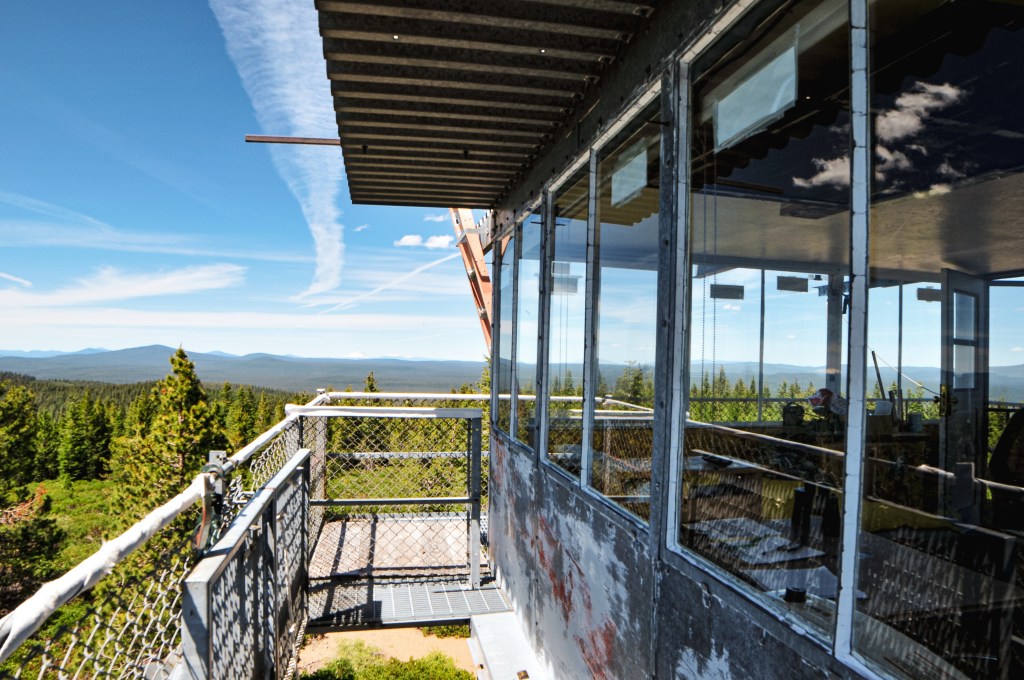
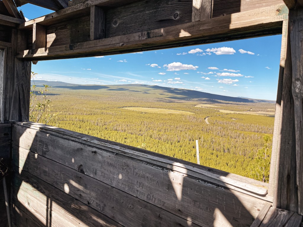
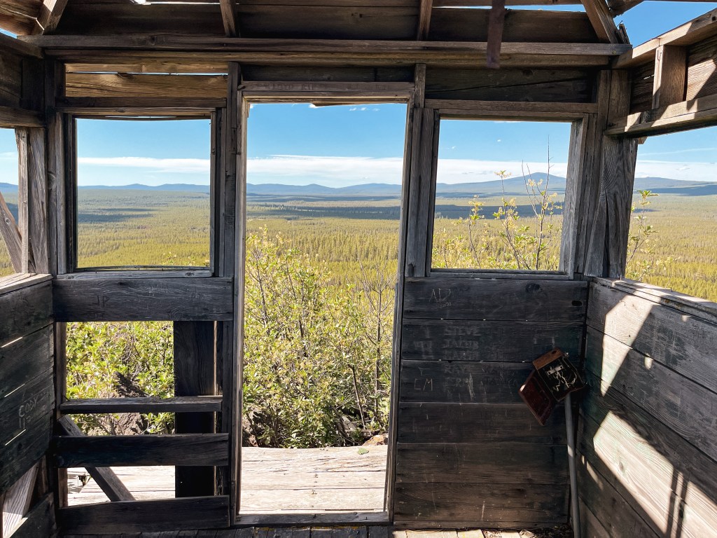
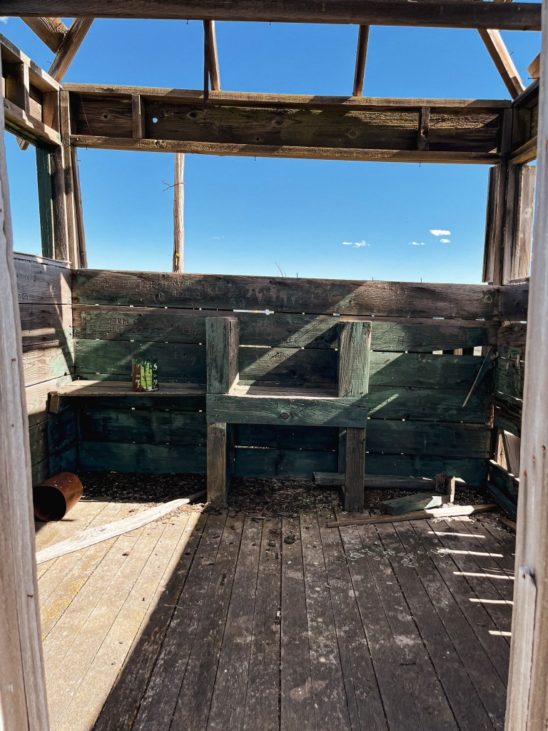
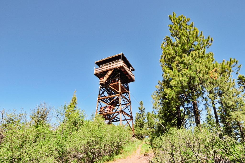
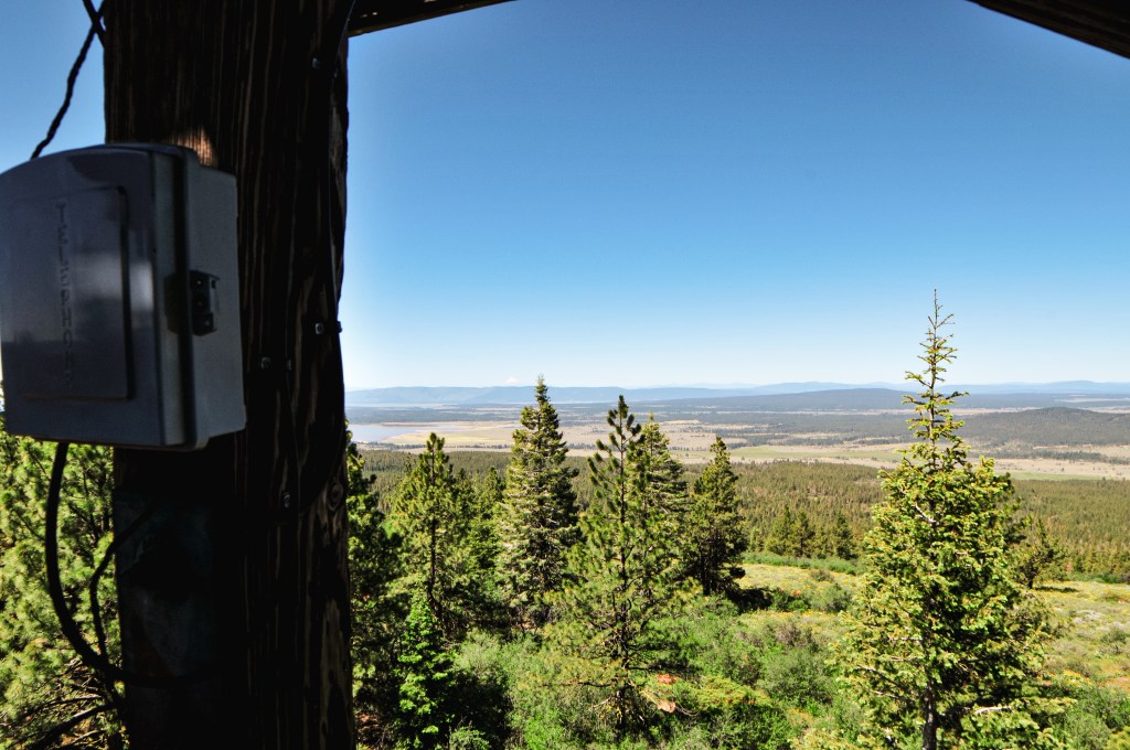
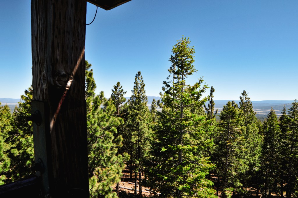
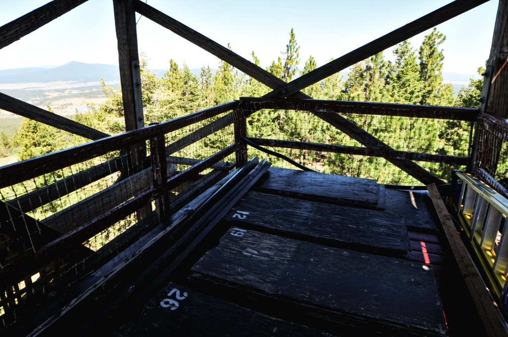
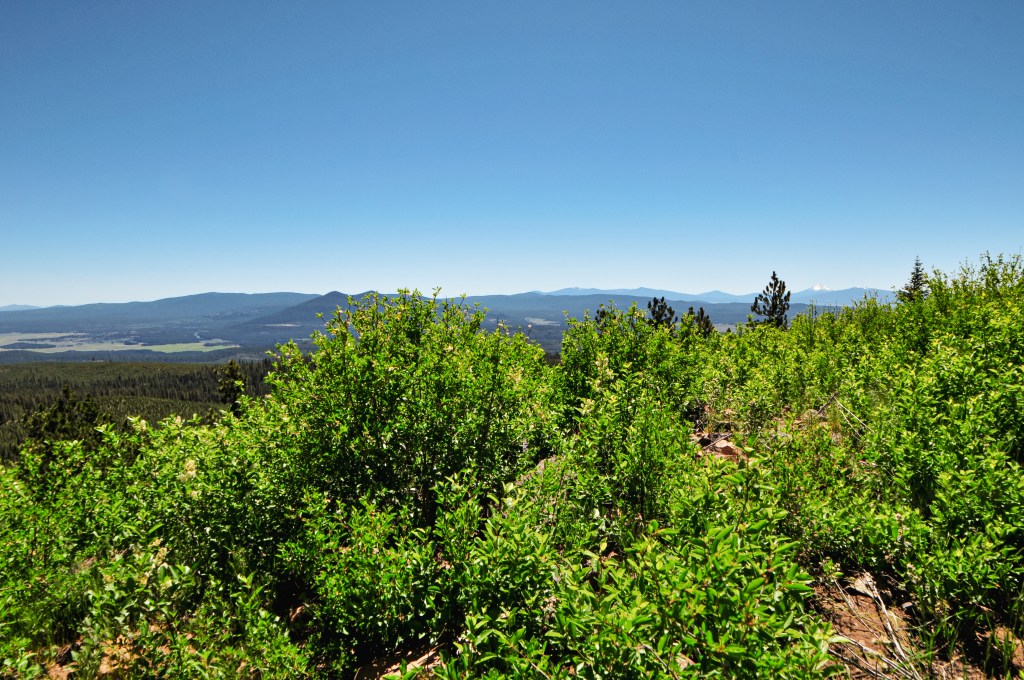
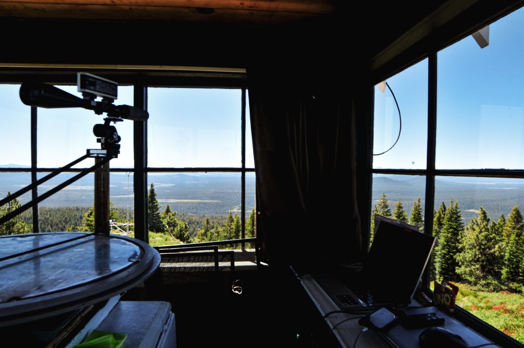
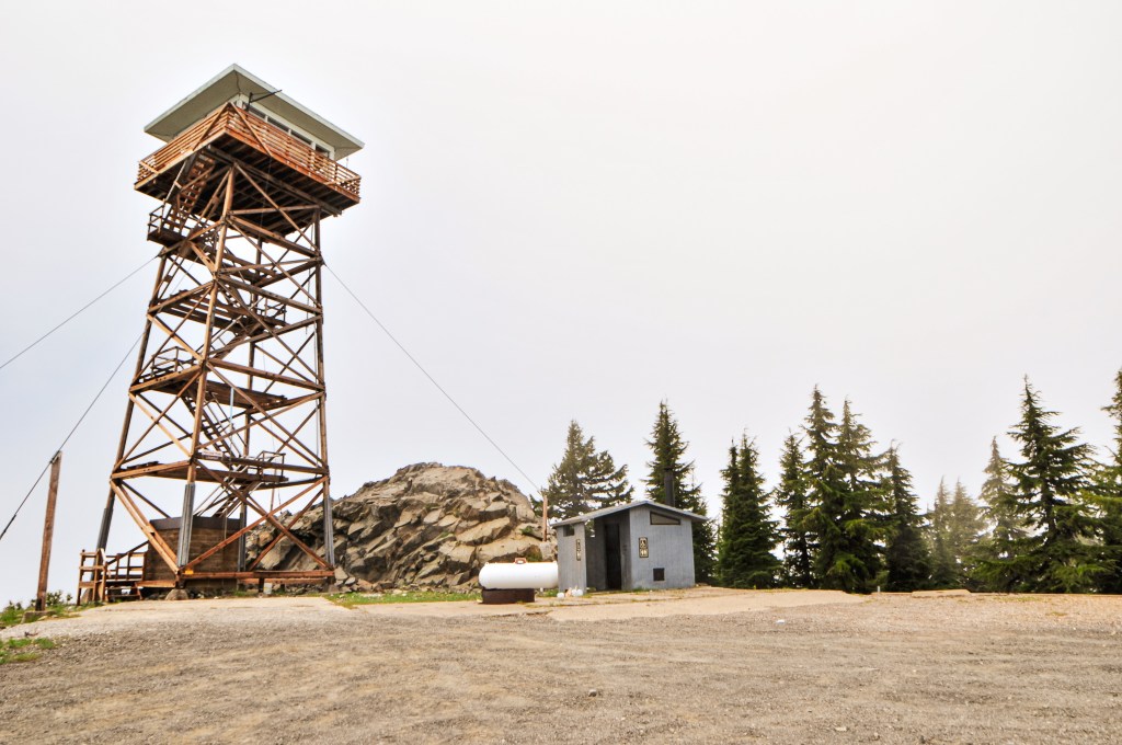
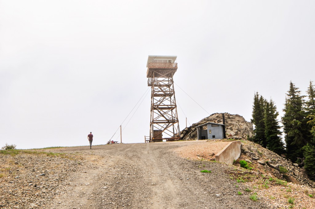
This area is high-traffic in comparison to other towers we have visited. We were dusted up multiple times on our walk due to passing vehicles. We did end up seeing a doe and her fawn along the road though. A reminder that road walking isn’t all that bad and that it was something we wouldn’t have seen otherwise. When we finally reached the summit we were shrouded in a fog cloud, but had it to ourselves. We were also confused since there was no vehicle onsite. At first I assumed that meant there was no lookout here, but we both heard someone moving around in the cab. Interestingly enough, the catwalk door and door to the cab were both open. We assumed this meant someone had to be here. Previous years, this lookout has been apart of the rental program through the Forest Service. But, it was recently pulled into active duty for the 2022 fire season. We didn’t want to risk disturbing the lookout attendant by climbing the tower and they did not come out to greet us. There had been a fleet of vehicles and ATVs that had been coming and going from the area. I would hide out in my tower too if I was them. We enjoyed a lunch and waited for a while to see if the clouds would eventually lift, but had no luck.


We walked back to our parked car and were dusted up a few more times for good measure. We headed back out via NF-2212 to find a camp and hoped the rest of the road was in better condition. Spoiler: It was not. There were portions of it starting to wash out and one particularly large rock embedded in the road that was tricky to maneuver. Someone had spray painted it bright pink to make it more visible to oncoming traffic. It was still a well traveled road and we met a few vehicles on our way out. There were even a couple people who were driving a Prius. After what felt like a life time crawling down NF-2212, we finally reached NF-22. There had been a few dispersed camps along NF-2212 but none were particularly flat or secluded. We quickly ran out of dispersed options and ended up spending the last bit of cash we had on hand at Lund Park Campground. Overall, it had been a successful trip.

Day 10/10: We drove home without incident.
History.
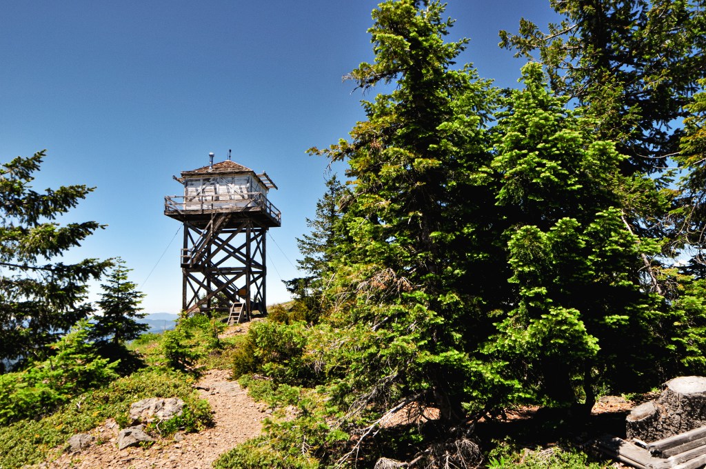
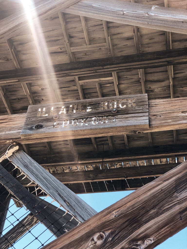
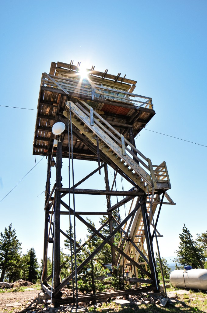
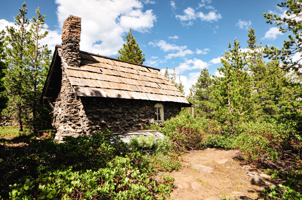
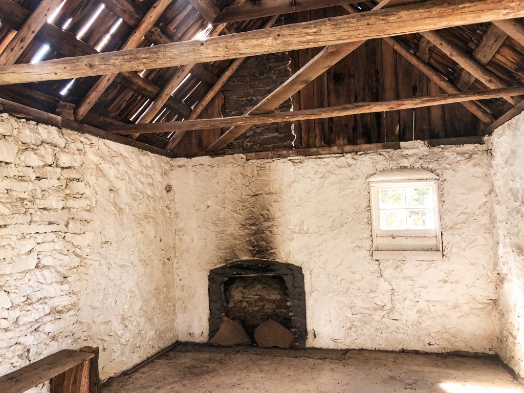
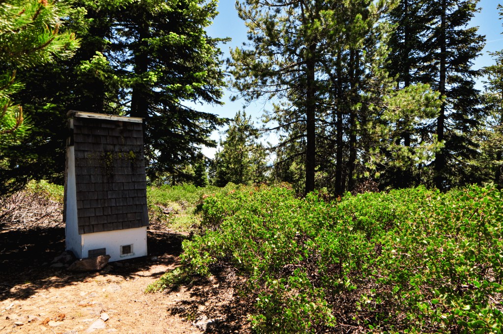
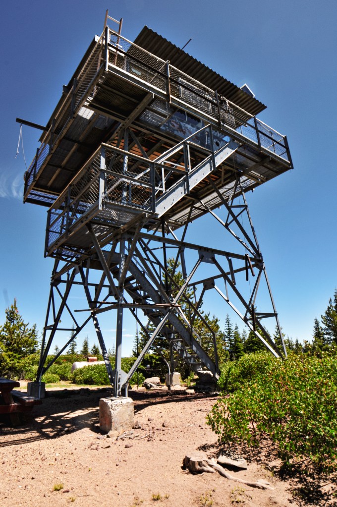
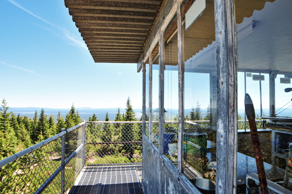
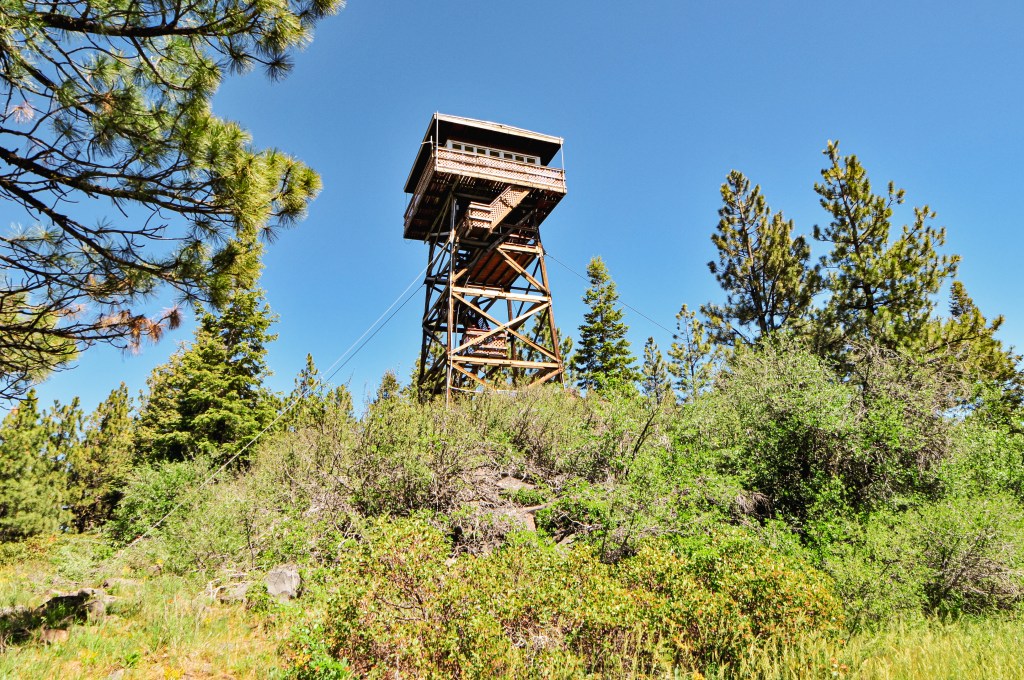
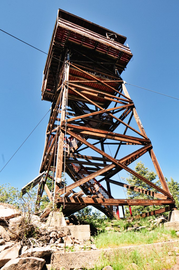
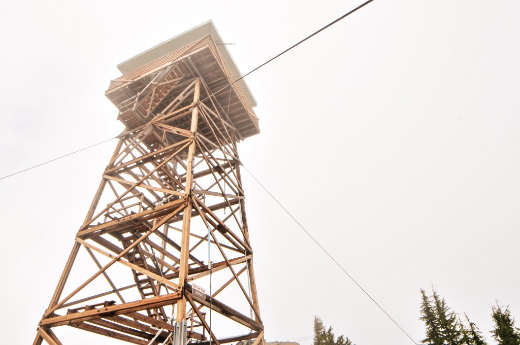
Fairview peak was established for fire detection as early as 1912 with a cabin and an Alidade. In 1921, a standard 12’x12′ D-6 cupola cabin was built. The cupola was eventually lowered and it was converted for additional storage or living quarters after a new tower was built. A 30′ pole tower with L-4 cab was added in 1936. For a brief time, in the late 1950s and early 1960s, the tower was used for an Air Force Gap Filler Radar station. It was used for this function up until 1964. Eventually, the tower was replaced with the existing 53′ timber tower and 15’x15′ R-6 cab in 1972. It was moved to the rental program for a while, but I am unsure on when or for how long it was apart of this program. All I know is it was temporarily removed from the program to be actively staffed again for the 2022 fire season. It looks like the lookout received a new super structure as well. It is unclear at this time if it will be actively staffed every season or moved back to a rental.