Location.
Mt. Hood National Forest; Columbia River Gorge Scenic Area
Date visited.
October 23, 2022
Trip Report.
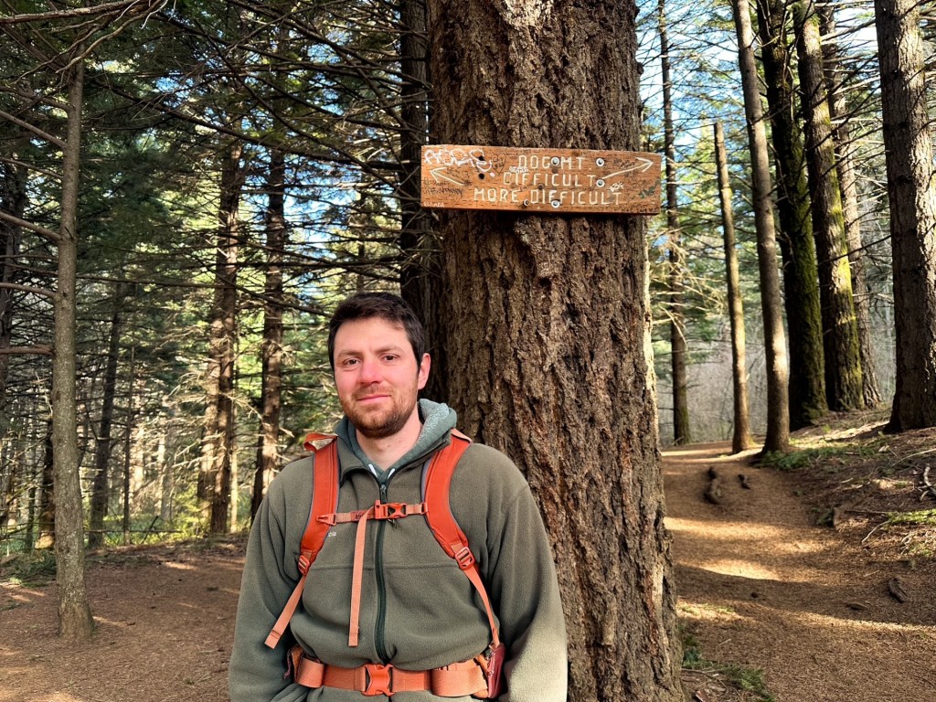
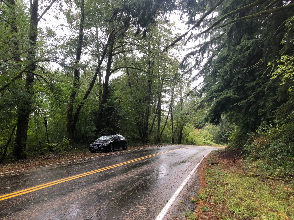
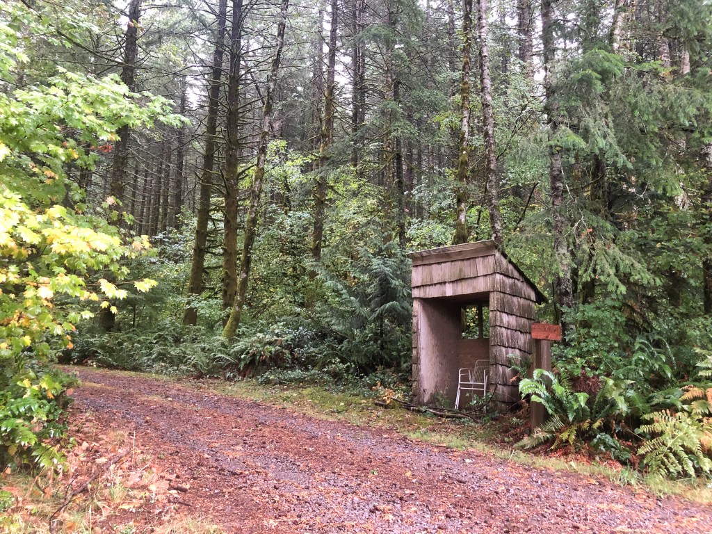
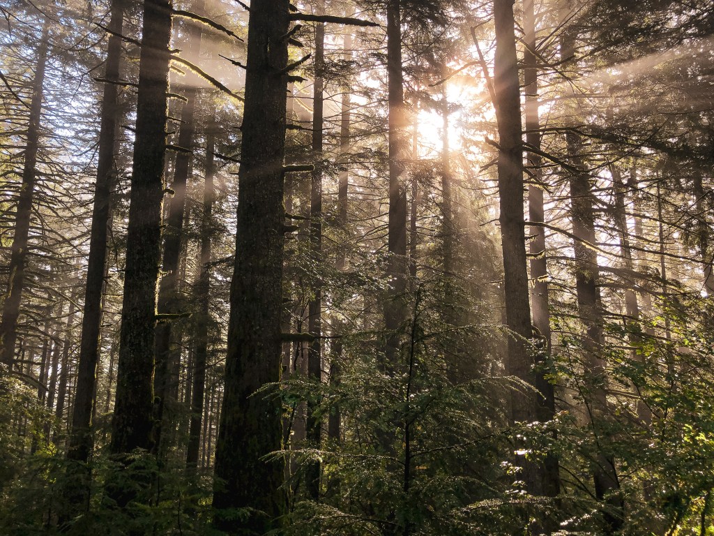
The fires this season might have been late to arrive, but they have also been late to leave. Rain was finally in the forecast for the weekend after an unusually dry and smoky start to October. They were even calling for snow on peaks as low as 5,000′ which meant we would have to start limiting our options. We decided to focus on former lookout sites close by after I vetoed driving down to Bland Mountain and Tiller area for a one night trip. I was craving a slower weekend after being in Minnesota for a week, camping with Garnet’s dad for a weekend, and then Arizona the weekend after that. We settled on Pepper Mountain for one and decided to add Larch Mountain since they were off the same road. The gate up to Larch Mountain was still open for the season too (it closes around mid-November depending on snow levels). We headed out of town just after 8AM only briefly following I-84 into the Columbia River Gorge until we reached exit 22 towards Corbett. We followed Corbett Hill Road and signs towards the Vista House until it met up with E Larch Mountain Road. You will want to take the fork off to the right to head towards Larch Mountain. We stayed on this road for a little over 4 miles and turned left onto SE Brower Road. From this road we were looking for NF-1500 off to the right. This can be found just under 2 miles down Brower road and has a notable shelter at the junction. This is used as a private drive as well so we parked in a pull out just a few 100 yards past the road. This is where we started our hike up to Pepper Mountain.
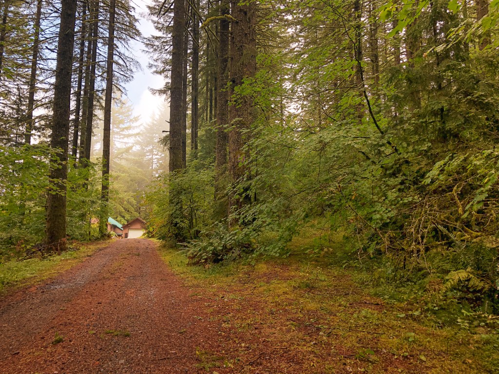
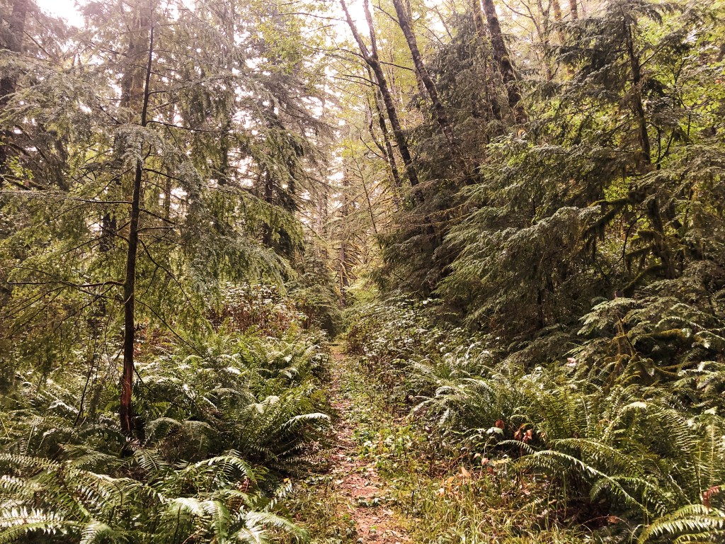


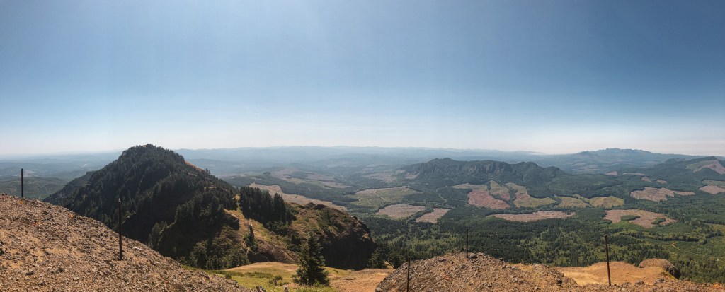
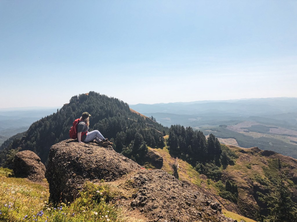
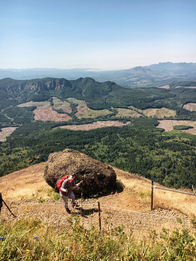
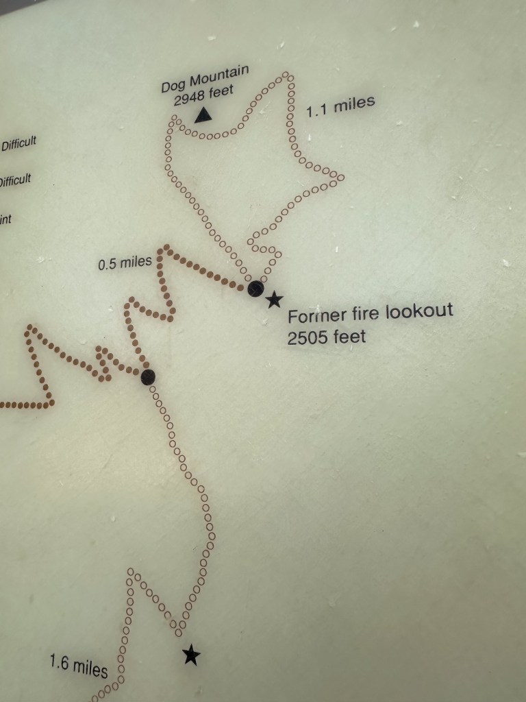
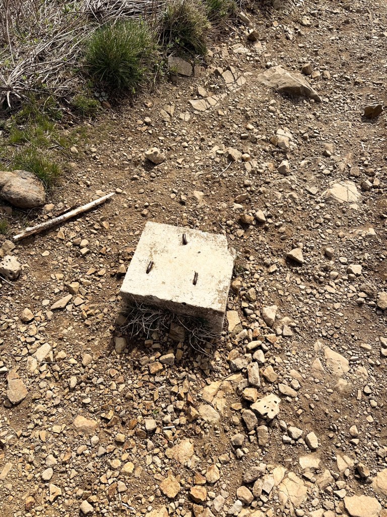
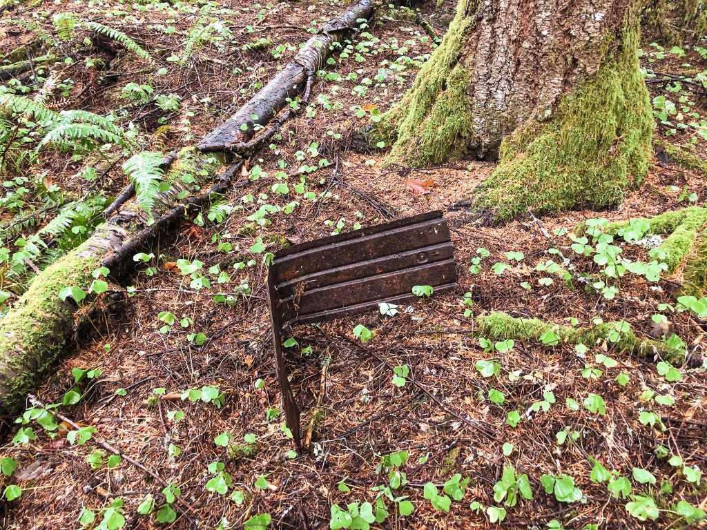
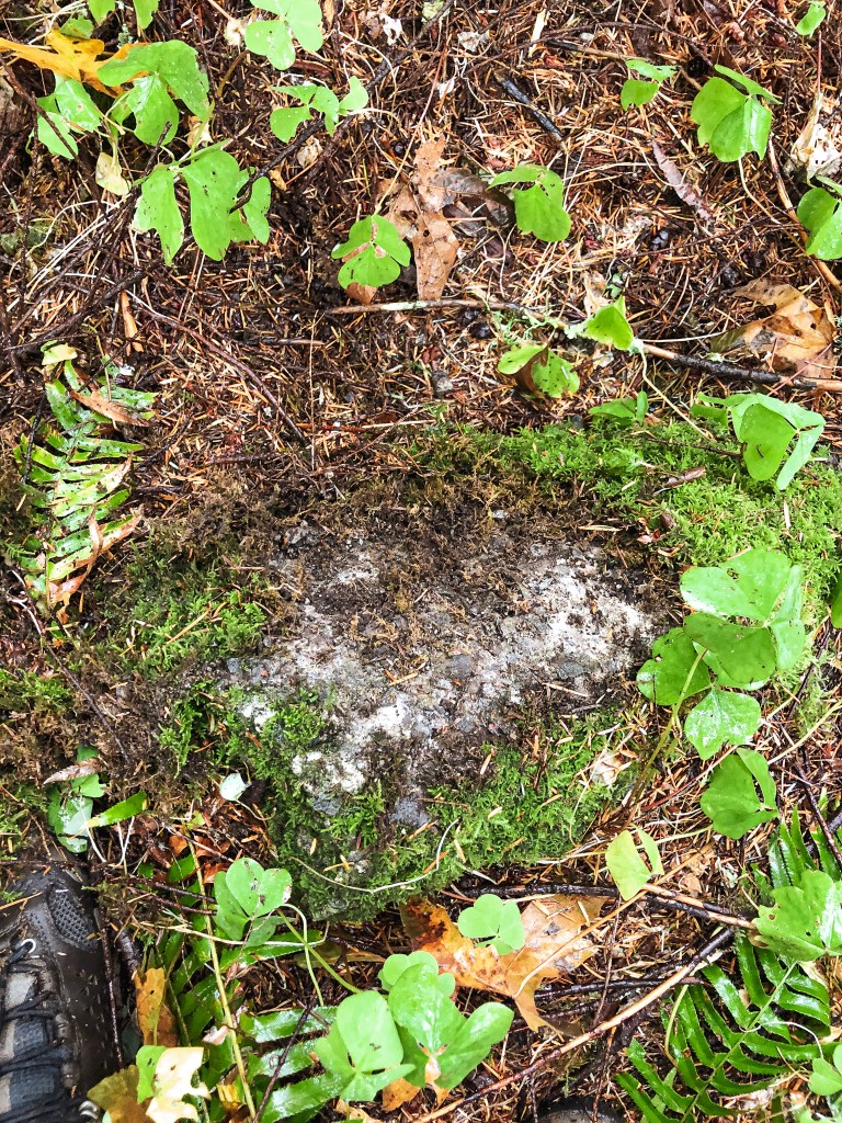
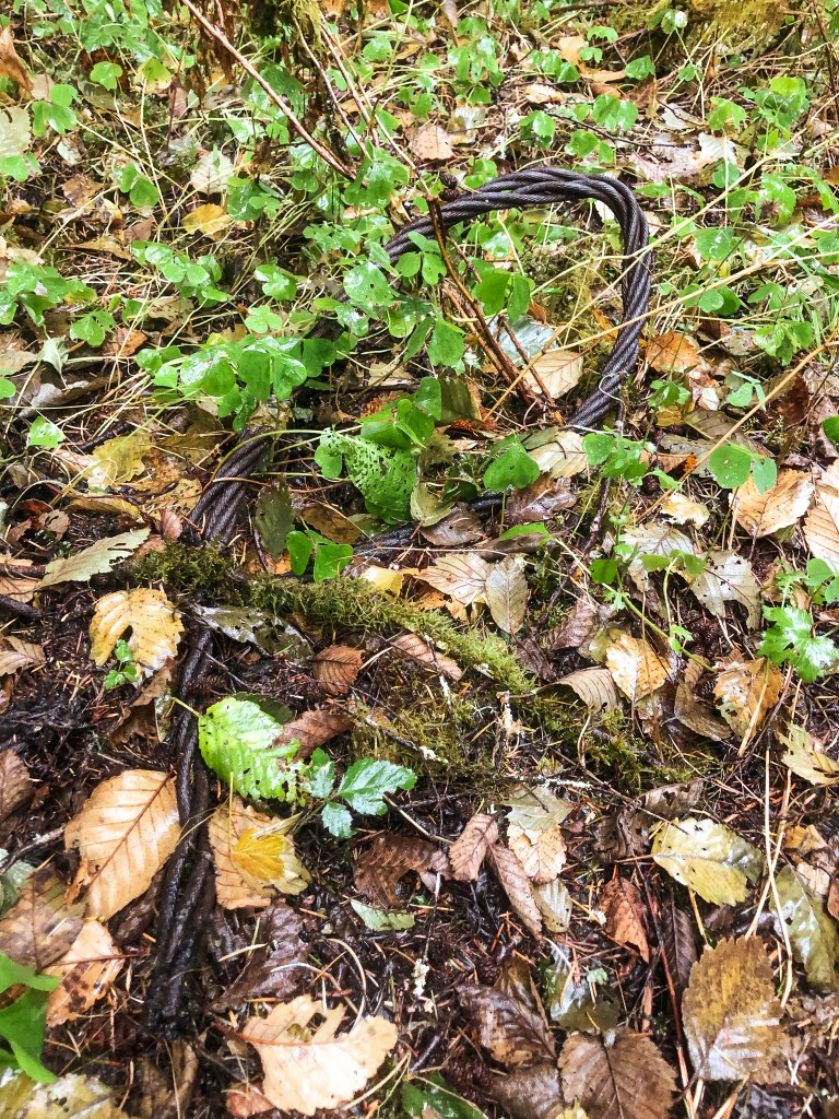
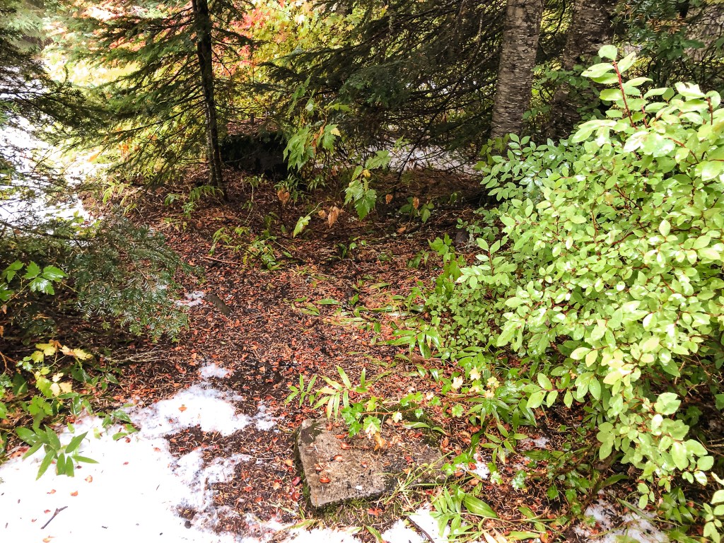
We hiked along the NF-1500 road to a junction just before we reached the residence. There is an old overgrown road off to the right of the house that you will want to take. We followed this until we met a fork in the trail. It is a faint junction, so pay close attention. If you head left, it will take you to the summit. If you head right, there is a view point out towards the Tualatin Hills. The trail heading left has a lot more brush and is less defined, but was still easy enough to follow. I would recommend long pants for this hike no matter the season since there are a lot of prickly berry bushes along the route. As we were hiking up, we spotted a cable along the side of the trail. I thought maybe it could be an old guy wire from the former lookout, but others mention it was used for logging the area. The trail eventually dead ends at a small clearing on the summit that was the former lookout site. There are no remaining views which made it an appealing pick for a rainy weekend. Most trip reports from the area mentioned there were no longer any remains on the summit. We found that hard to believe and did a thorough search of the surrounding area. I found a hole which I thought looked like a filled in pit toilet area (it’s possible it was just a hole though) and my partner was able to find some old cement blocks that must have been part of the foundation. Some were fairly mossy and appeared to just be large rocks at first, but upon closer inspection were obviously man made. They looked like they had been dug up and tossed from their original location. We speculated this probably happened whenever they logged the area. Fairly satisfied with our find, we headed back to the car to continue on to Larch Mountain. This hike was roughly 2 miles round trip with 700′ in elevation gain.


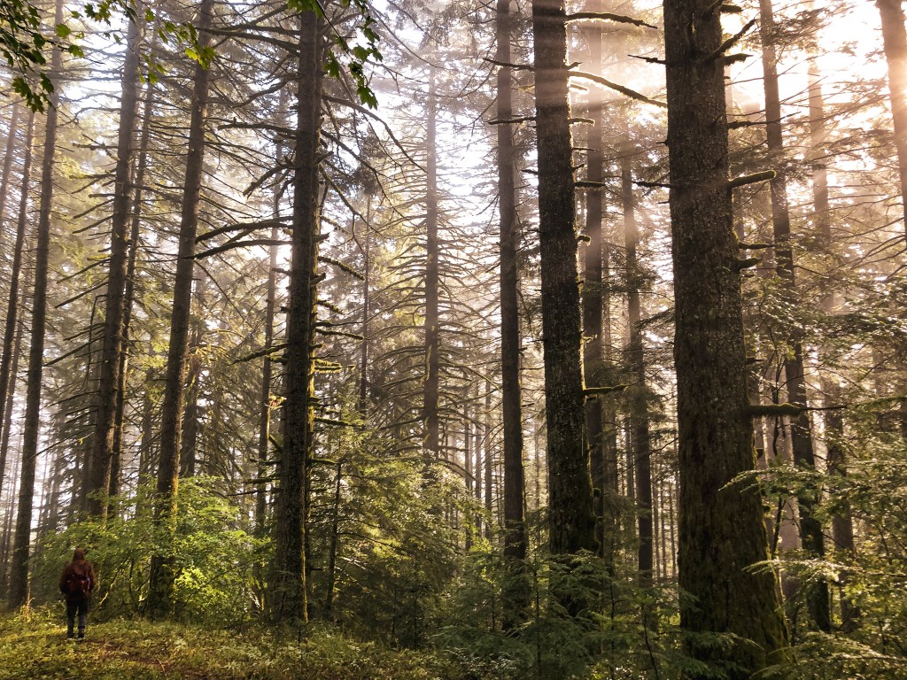

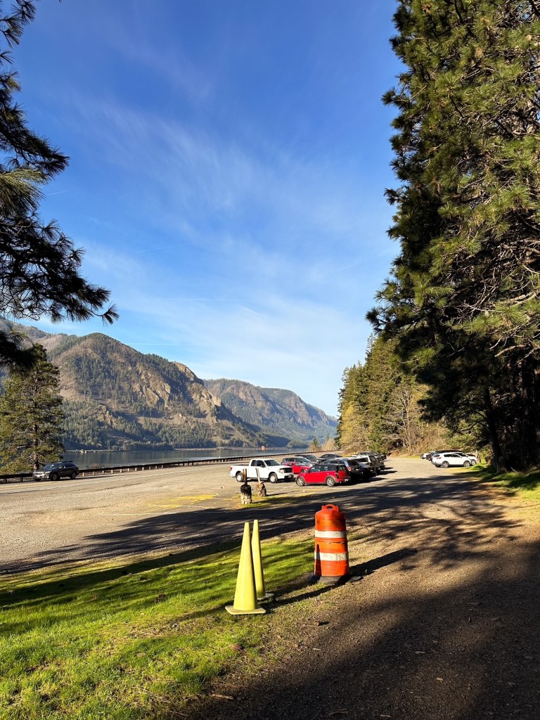
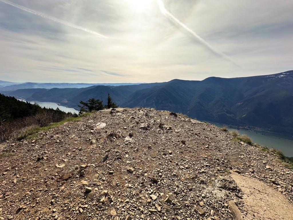
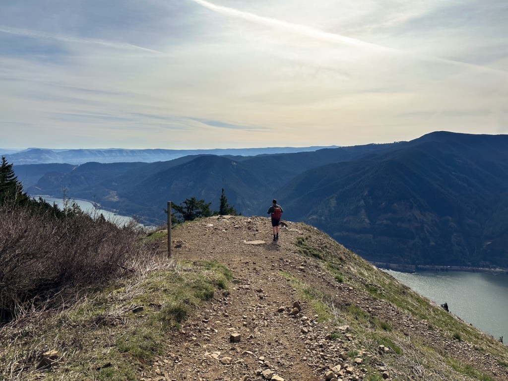
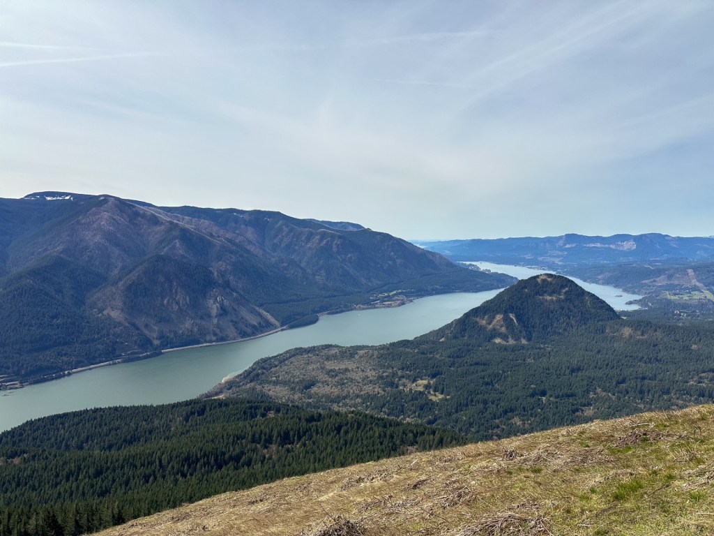
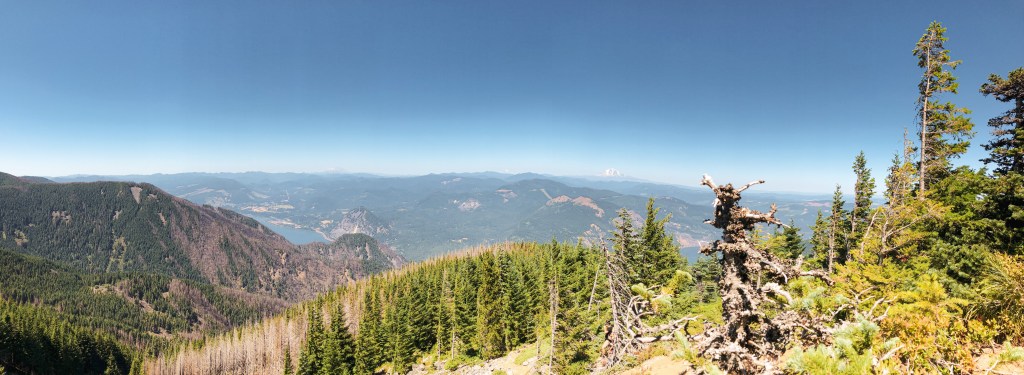
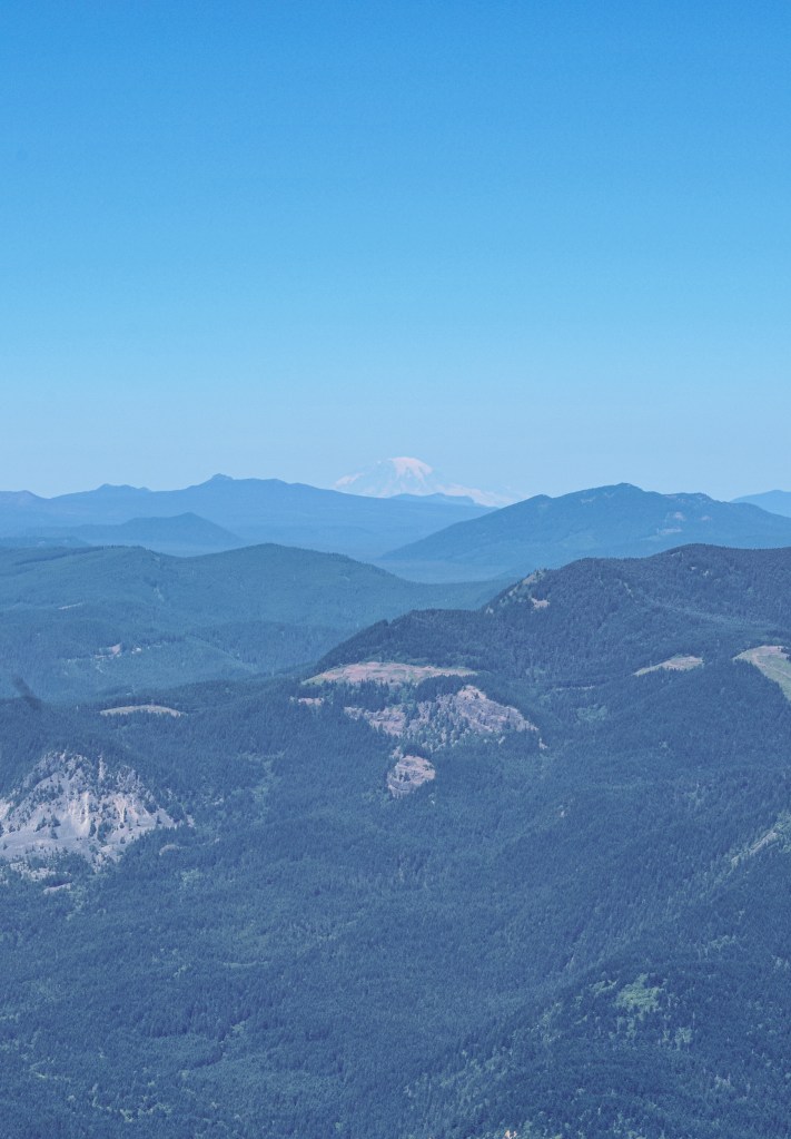
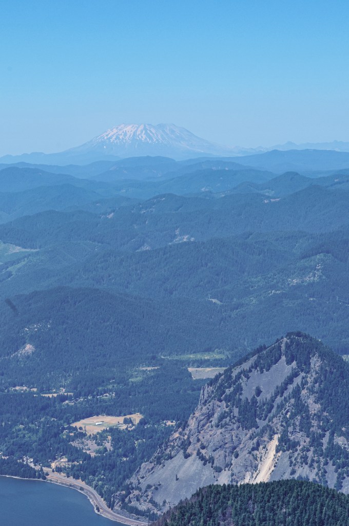
We headed back from SE Brower Road and turned left to head farther up E Larch Mountain Road. I didn’t do much prior research on how to get to Larch Mountain, but I was fairly certain this road would dead end at the summit. If not, I knew it was a popular enough area to have signs. Shortly after leaving Brower Road, we entered the Larch Mountain Corridor. This is a protected area around Larch Mountain designated for recreation. As we drove further up the mountain, we started passing multiple cars in pull outs. We joked that this was all the overflow parking for the Larch Mountain trailhead, but figured that they were more than likely mushroom foragers given the recent rain. That is until we passed the base camp of some very official white vehicles with flashing lights. It was a search and rescue operation. Who or what they were looking for was unclear, but there were a lot of them. Almost every pull out up to the summit of Larch Mountain was filled with official or volunteer vehicles. We continued on since there was no area closure or blockade, but it was a bit unsettling. A half of a mile from the summit we started seeing snow. It was mostly melted on the pavement, but it looked like it received at least an inch or two recently. This was a surprise given that the forecast only called for snow in the 5,000′ range. We seem to be making hard shifts into our seasons this year. We reached the summit shortly after we met the snow and parked the car. There were 11 other cars here around noon. I assume on a clear sunny day this parking lot is already full by this time.
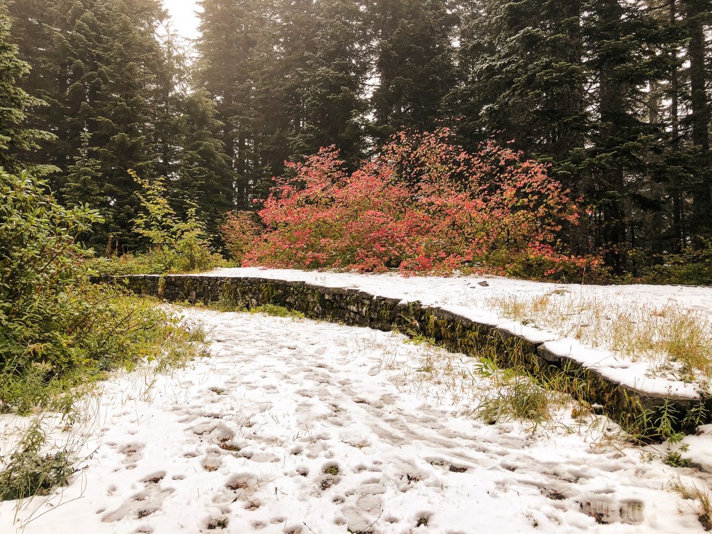
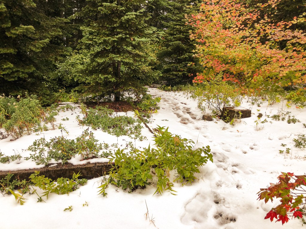

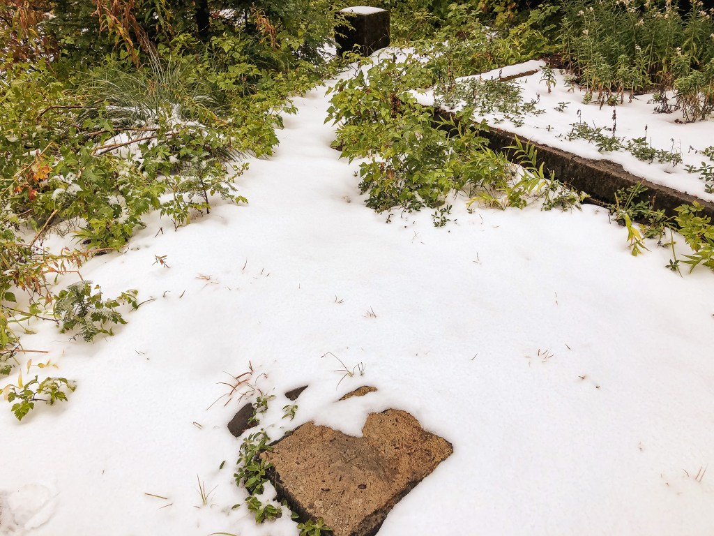

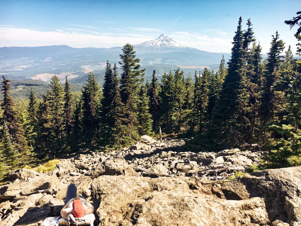
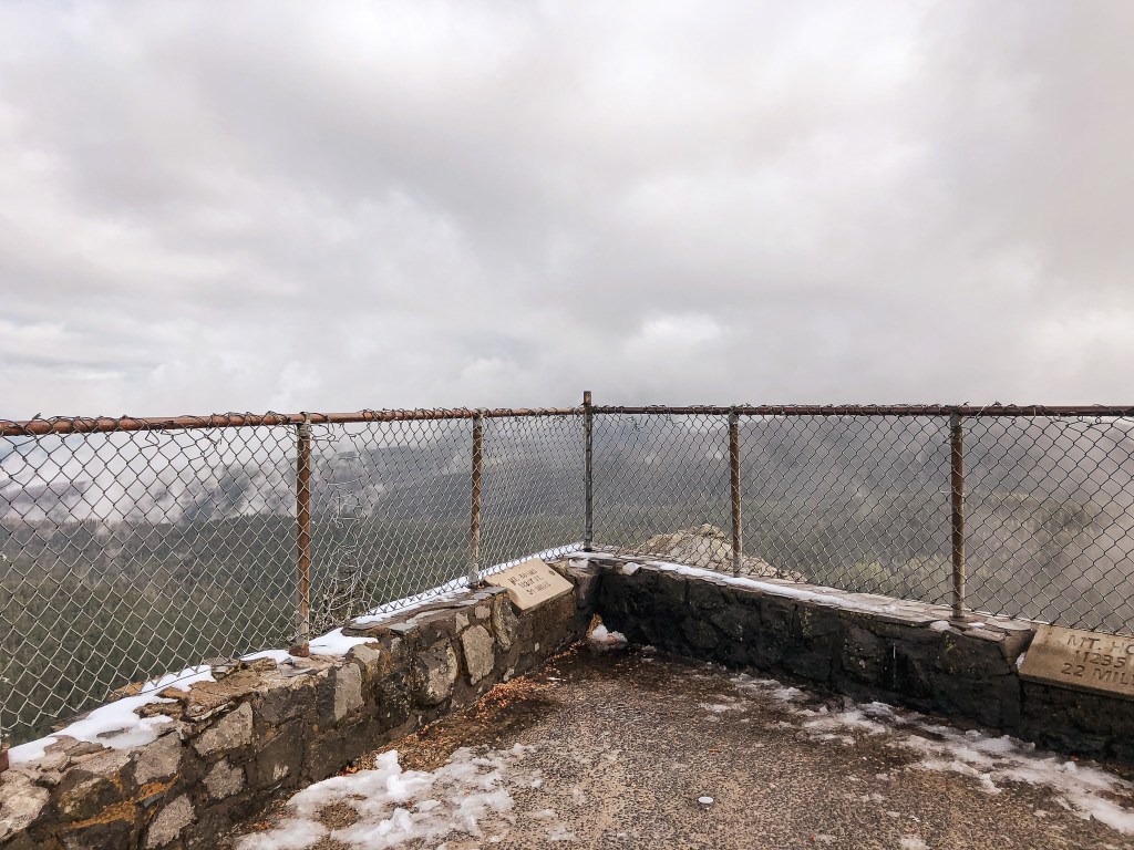
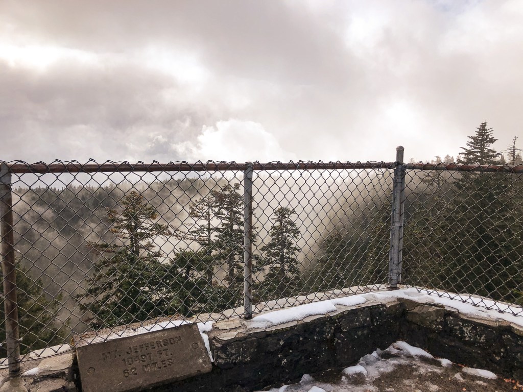
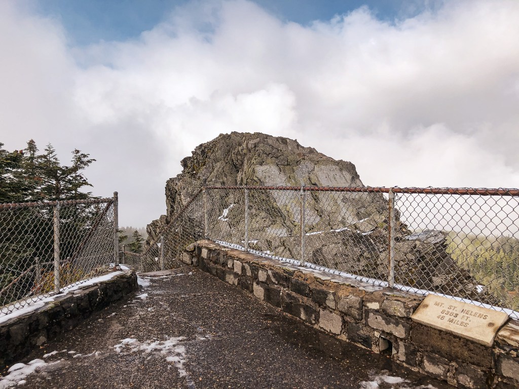
From the parking lot, we decided to set out to find the old foundation spot first. We were able to locate this quickly by heading up the paved trail between the bathrooms and picnic area. It was less than half a mile from the parking lot. There isn’t much left besides a few foundation blocks, a cement slab where the storage shed was located, and the retaining wall. But, I’m glad they didn’t pave over it when developing the area. I believe you can connect to Sherrard Point from here and make a loop, but it looked slick with the recent snow coverage. We headed back to the parking lot and headed to the right where there’s a sign for Sherrard Point. This is a flatter portion of the paved trail that will take you to the stairs that lead up to the point. It is also less than half a mile from the parking lot. Both areas play a role in Larch Mountain’s fire history. We decided to have our lunch on Sherrard Point since no one else was here at the time. Unfortunately, we didn’t get much of a view due to the clouds. We had planned to continue our hike around the crater of Larch Mountain to get some additional exercise, but the unplanned snow and minimal day light left dissuaded us. We saw what we had set out to see and that was enough for us this time. We took the lazy approach to this summit by driving there and not hiking around the rim. But if you’re up for a challenge, Larch Mountain can also be accessed from the Multnomah Falls trailhead via a 14 mile round trip hike. As we drove back down the paved road, we passed the Search and Rescue team again. This time they had all gathered in a group and some of them even had overnight packs on. We tried to do more research on this when we were back in town, but they hadn’t posted anything about it. A healthy reminder to research an area before you visit, know your limits, and come prepared with the 10 essentials. We all assume a risk when recreating outside, but accidents can happen. I hope whoever they were searching for is ok and located quickly.


History.
Pepper Mountain (2,137′).
Former Fire Lookout Site Register: US 1759; OR 504
Built in 1937 as a 10′ wooden tower with L-4 cab. It was briefly used for the Aircraft Warning Service between 1942 and 1943. The tower was abandoned in 1955. It was removed sometime afterward 1957, but I couldn’t find a specific date or year. Old panoramic photos from 1933 show a crows nest style lookout in the picture. I am unsure how long the site was used for fire detection prior to that picture.
Larch Mountain (4,058′).
Former Fire Lookout Site Register: US 609; OR 50
The site was established for fire detection as early as 1910 when a fire finder was used on the rocky outcropping of Sherrard Point. Between 1914 and 1915 a platform cab was built atop two 90′ fir trees. It was replaced by a 90′ steel tower with 7’x7′ cab and accompanying ground house in 1924. This site was used for the Aircraft Warning Service as well between 1942 and 1943. The last structure to be built on the summit was in 1945. They replaced the steel tower with a tall timber tower and L-4 cab with observation deck below for visitors. I am unsure of the actual height of the tower due to conflicting information from multiple sites, but it was somewhere between 80′ and 100′. The lookout structure was removed in 1976.
More Information.
AllTrails (Larch)
US Forest Service (Larch)
Friend of the Columbia Gorge (Larch)