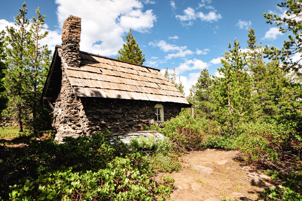
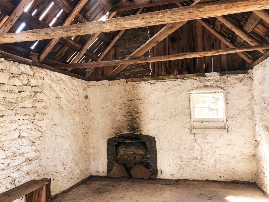
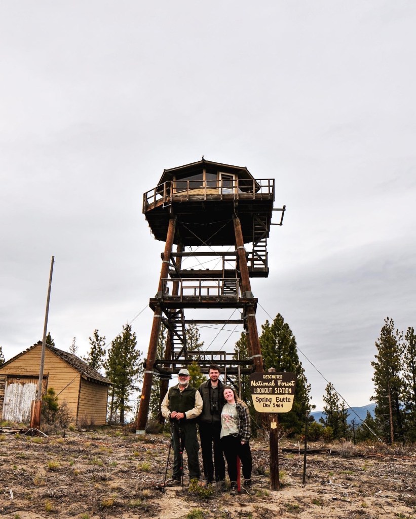
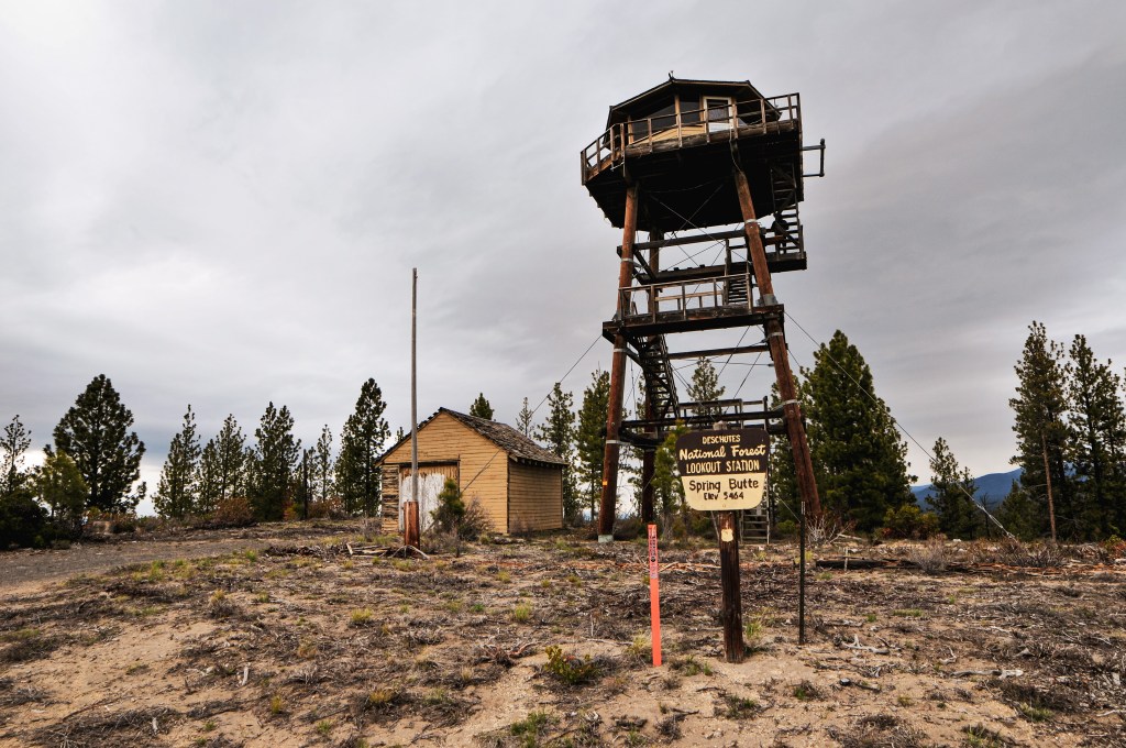
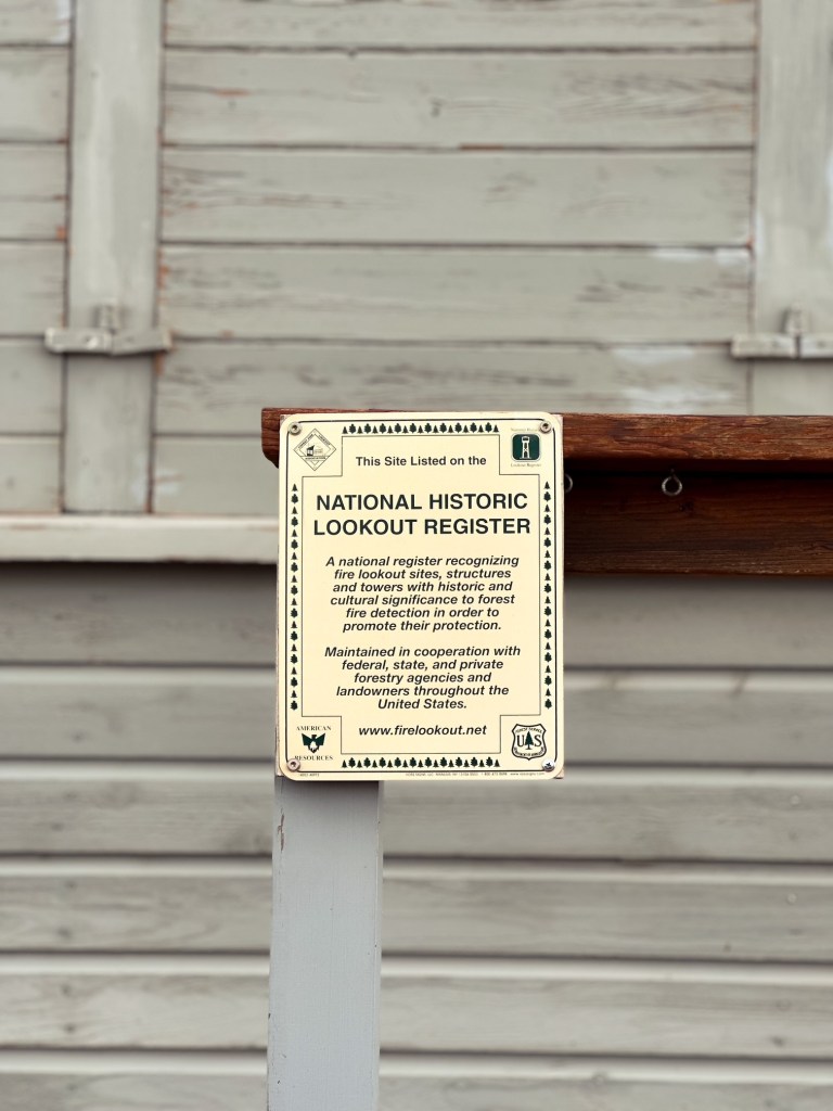
Please reference our original trip report on Black Butte L.O. for information on the history of the lookout, status, our initial site visit, and directions (post).
Date Revisited: March 29, 2026
Trip Report.
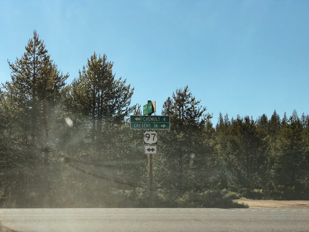
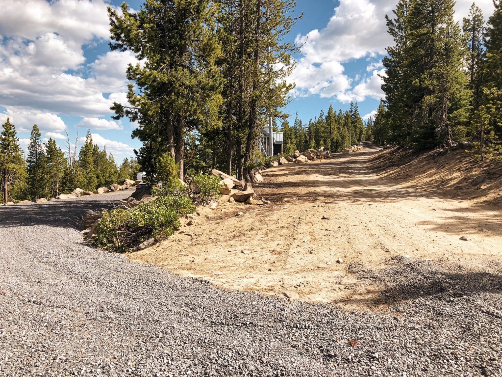
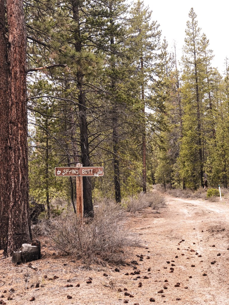
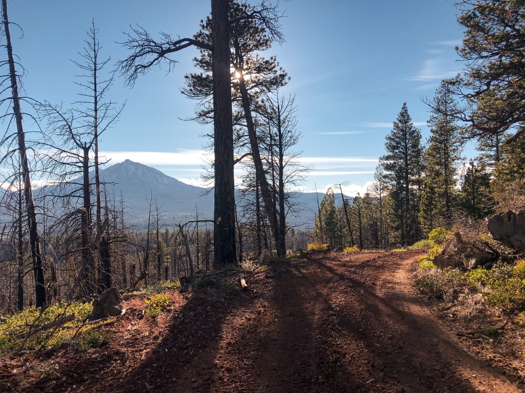
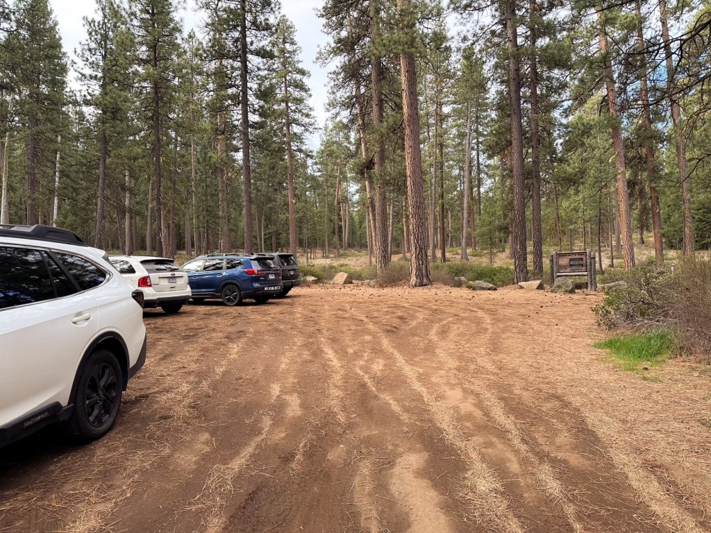
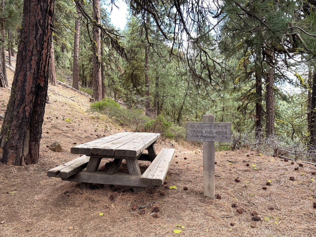
Black Butte L.O. was one of the first few fire lookouts I had visited prior to meeting Garnet. It was on our list to return since he had never been, but was a lower priority for him due to the popularity of the hike. This winter has been unseasonably dry which won’t bode well for the upcoming fire season. Though it has been beneficial for early access to some areas such as this. We decided to kick off our camping season early for a quick one night when the weather conditions looked favorable. This led us to dispersed camping for a night near Black Butte so we could hike to the summit before driving back home. I wasn’t confident in how my car would fair on the road to the upper trailhead and only have a vague memory of the conditions from 2018. We opted to take the longer route from the lower trailhead that I knew would be accessible for us. This is located on the opposite side of the butte from the upper trailhead access. From HWY-20, we turned on to the paved Camp Sherman road and followed this to the fork where it breaks off between the resort and campgrounds. We stayed right towards the campgrounds where the road turns to NF-14. The trailhead was the next immediate right turn off of NF-1430. If you reach the Head of the Metolious River you have gone too far. The NF-1430 road turned to cinder with some rocks and potholes to avoid. It is only a short distance from the pavement to the trailhead though and we had no issues finding a spot to park at 9AM.

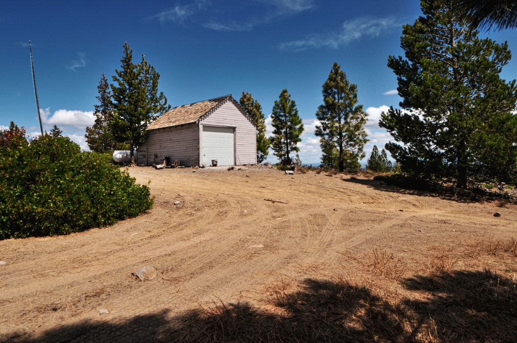
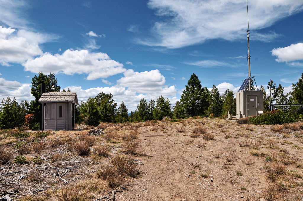
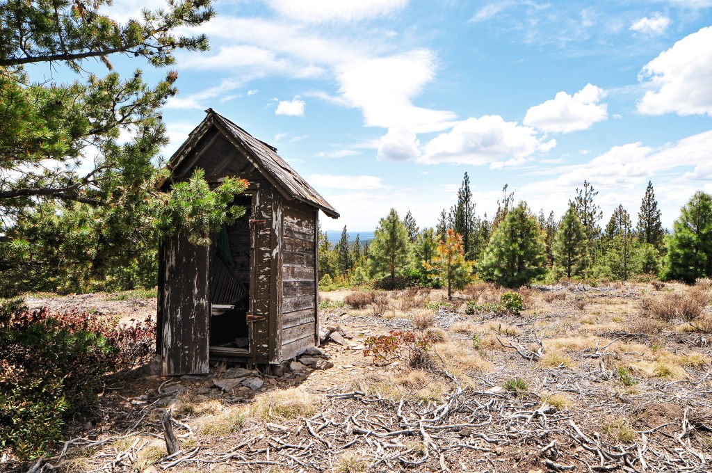
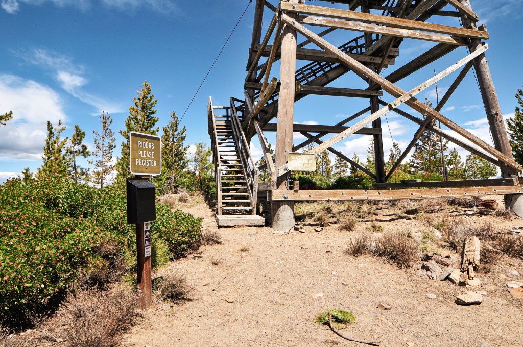
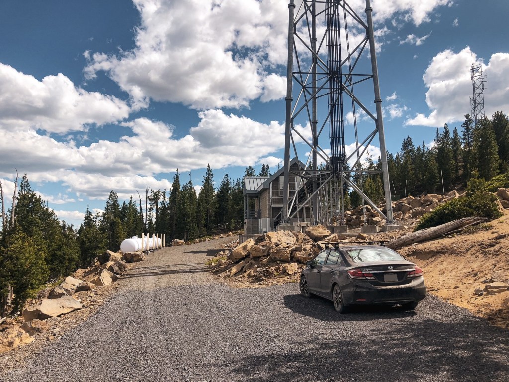
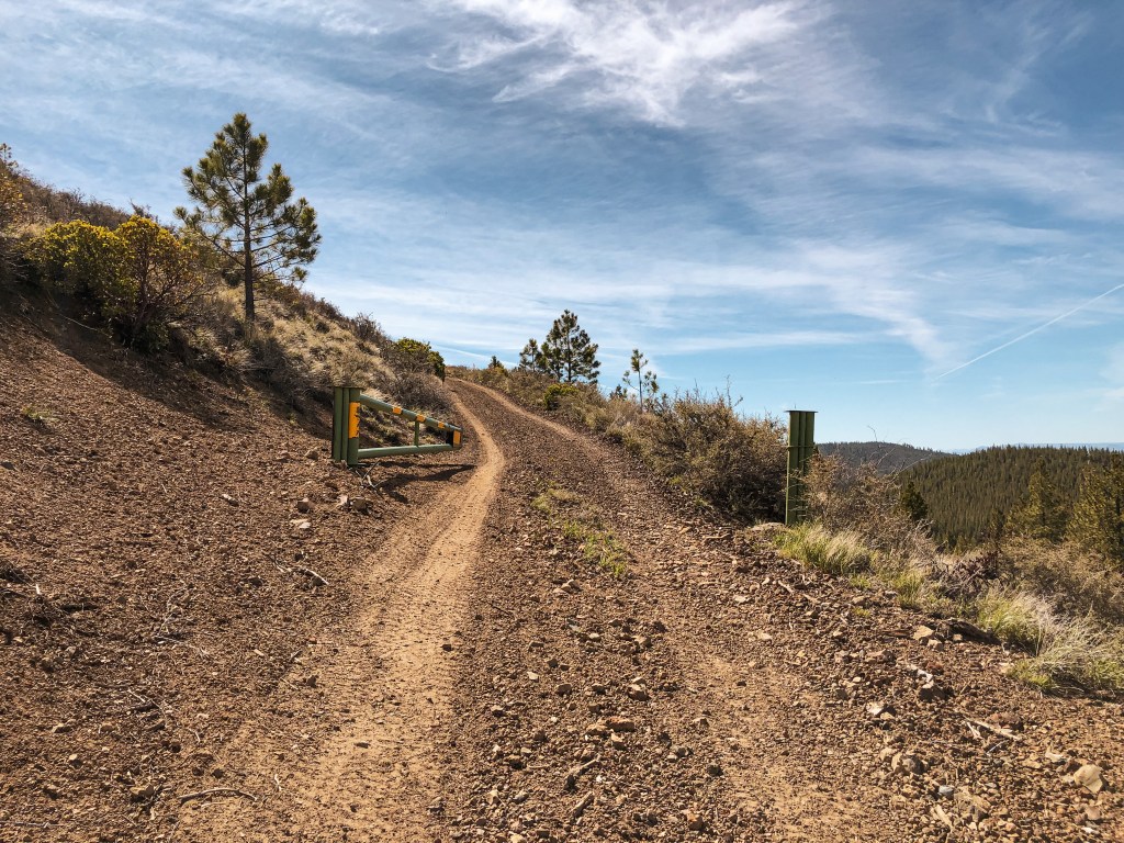
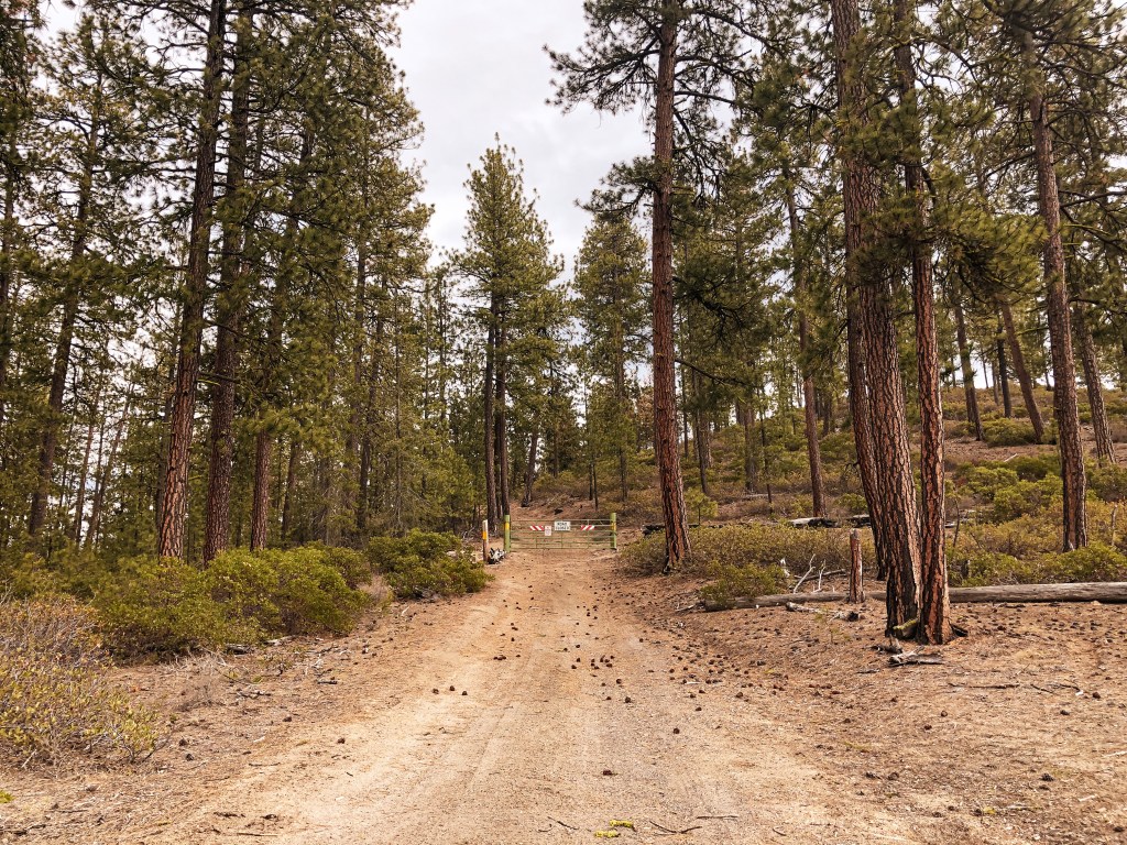
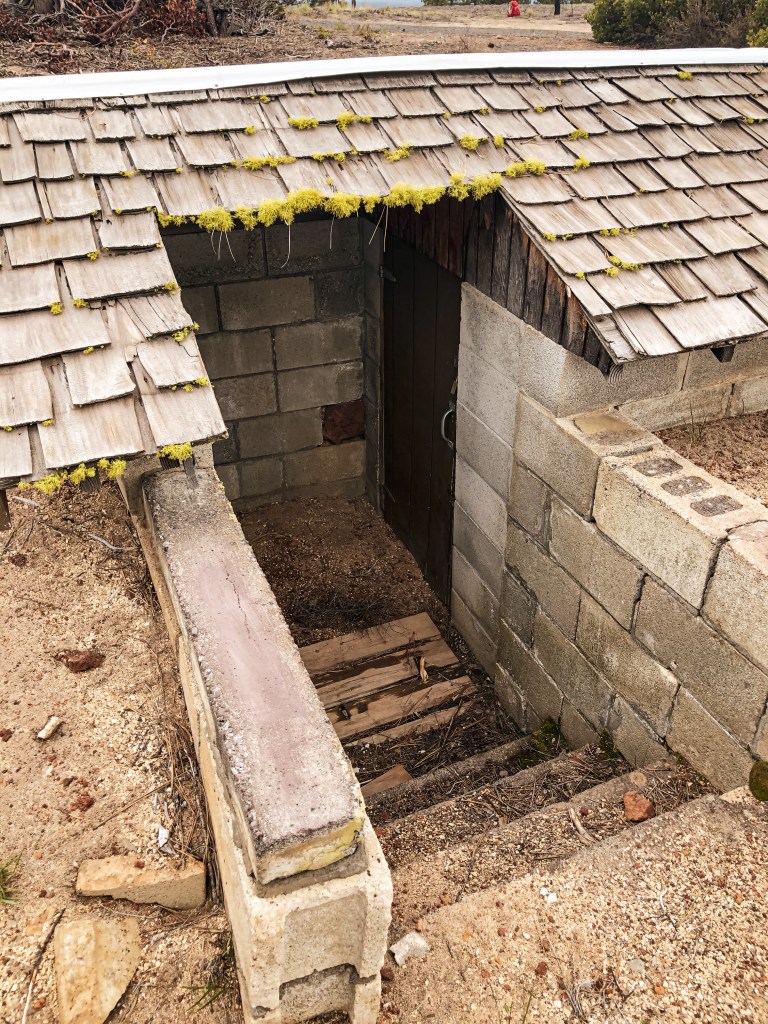
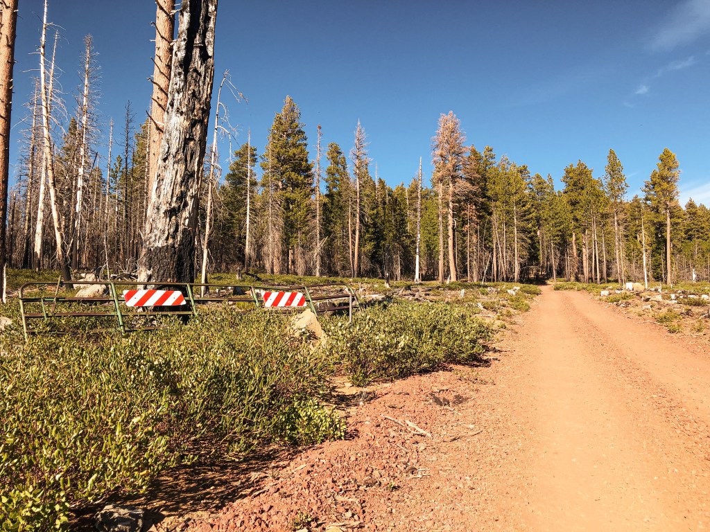
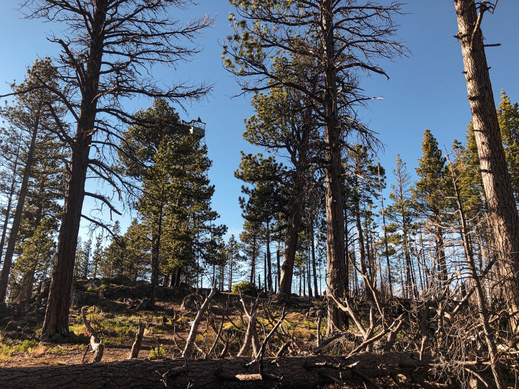
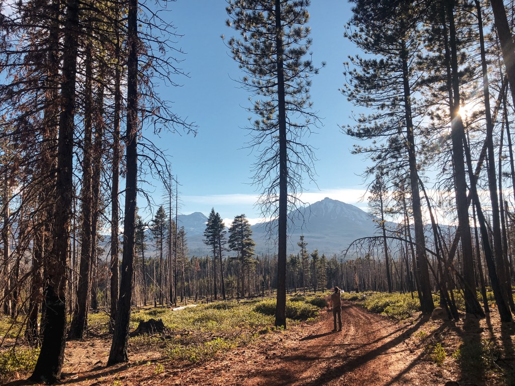
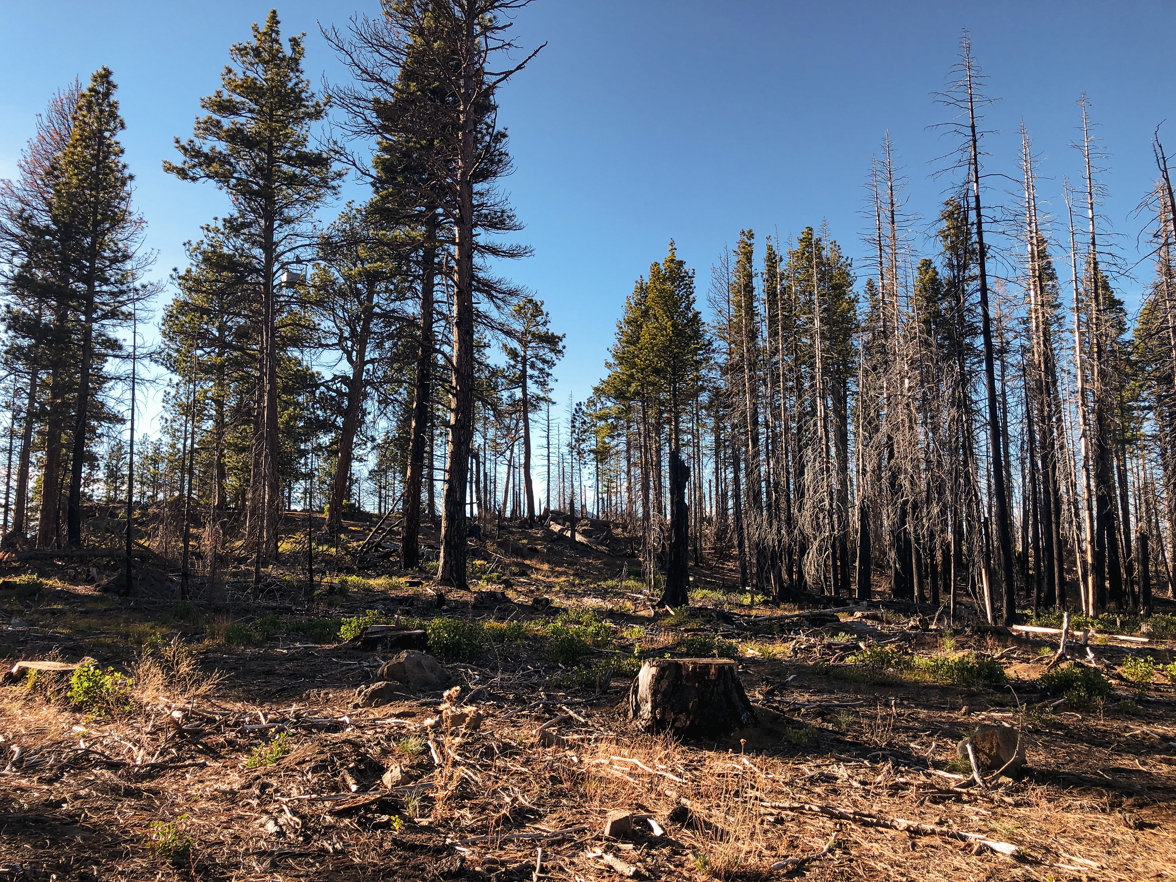
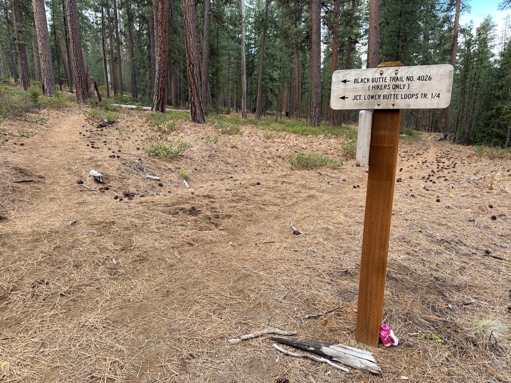
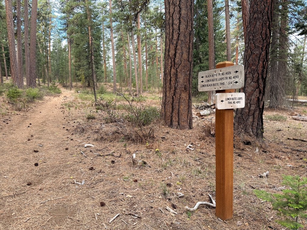
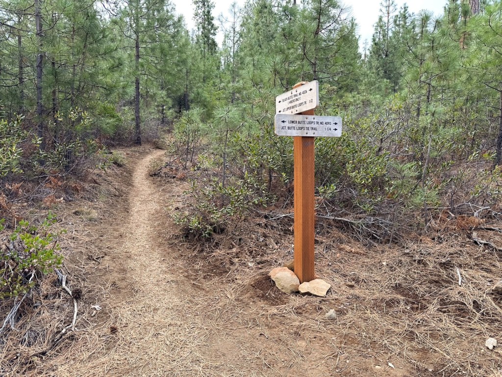
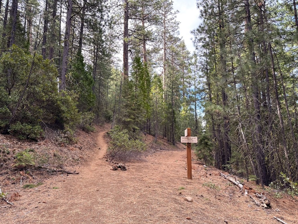
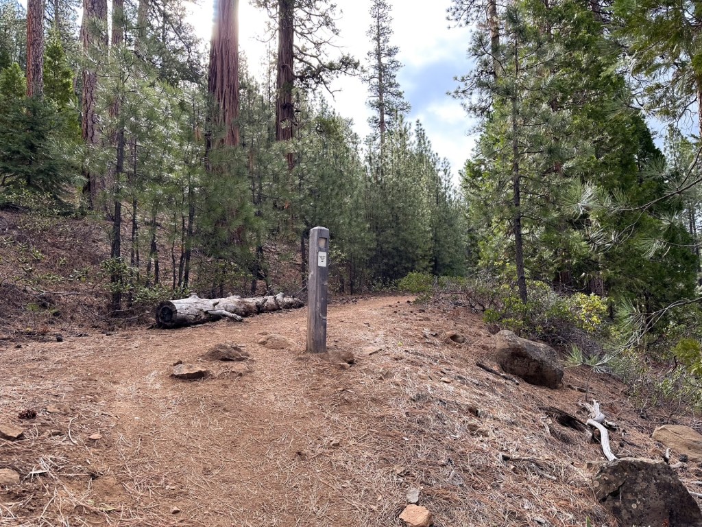
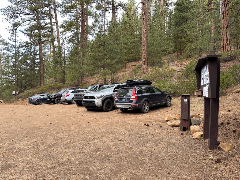
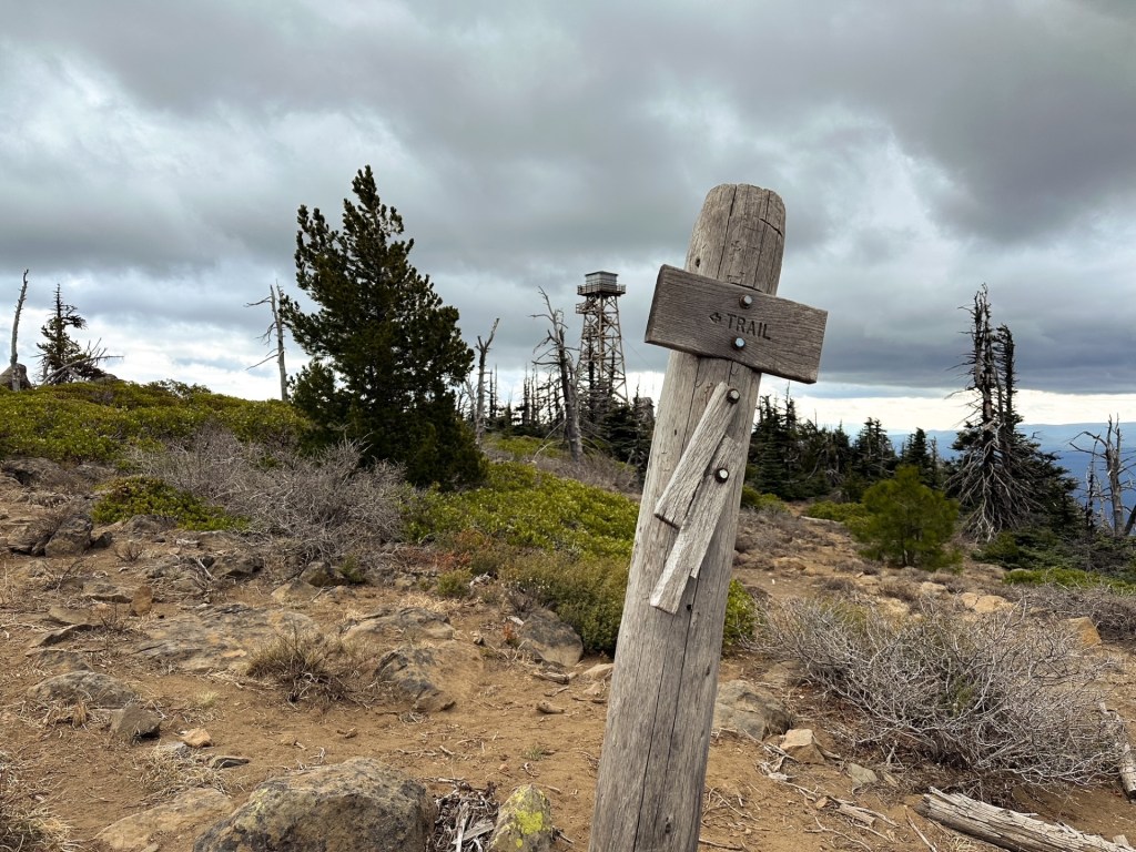
There are a maze of roads and trails that interconnect around the base of Black Butte, we stayed on trail #4026 the entire way to the summit. This area is well signed and we found it easy to navigate. The trail starts out fairly flat on an old road bed that parallels the paved road around the butte. After 3/4 of a mile, we started to reach the first of the signed junctions. We stayed straight at the first one and turned left at the second to start our climb. The trail becomes hiker only from here. Some of the other trails within this area are considered multi-use. We didn’t see any mountain bikers on the multi-use sections until we were almost back to the car at the end of our hike. We crossed the Lower Butte Loop trail #4093, Upper Butte Loop trail #4093.1, and an unmarked old road before reaching the Upper Black Butte trailhead. There was around 3 miles with ~1,800′ of gain between the Lower and Upper trailhead. This section had a continuous gradual climb and was mostly forested. We entered the upper trailhead from behind the picnic table near the sign board. There was a fancy new pay station that even takes card since a NW Forest Pass is required to park here. The lower trailhead did not have any notices about needing this pass for parking, but we hung ours up just in case. The upper trailhead also has pit toilets while the lower does not.

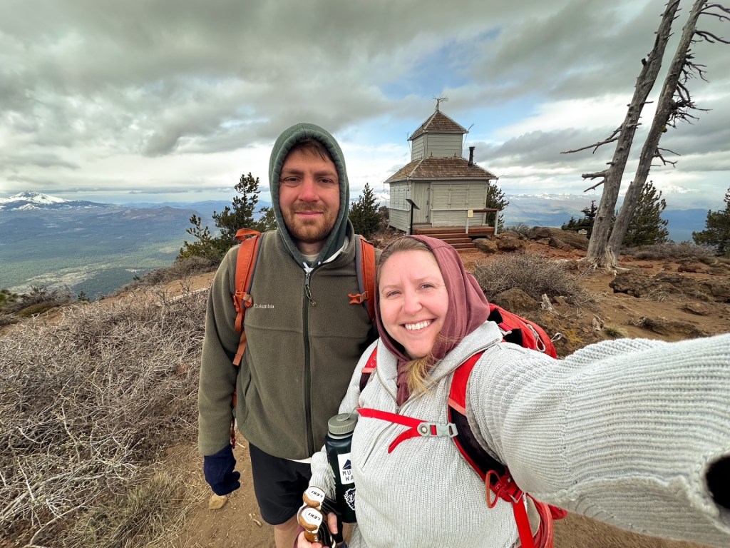
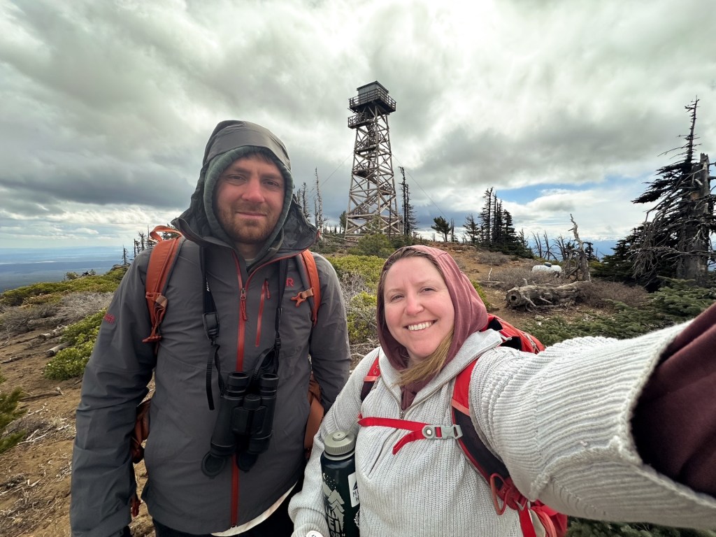
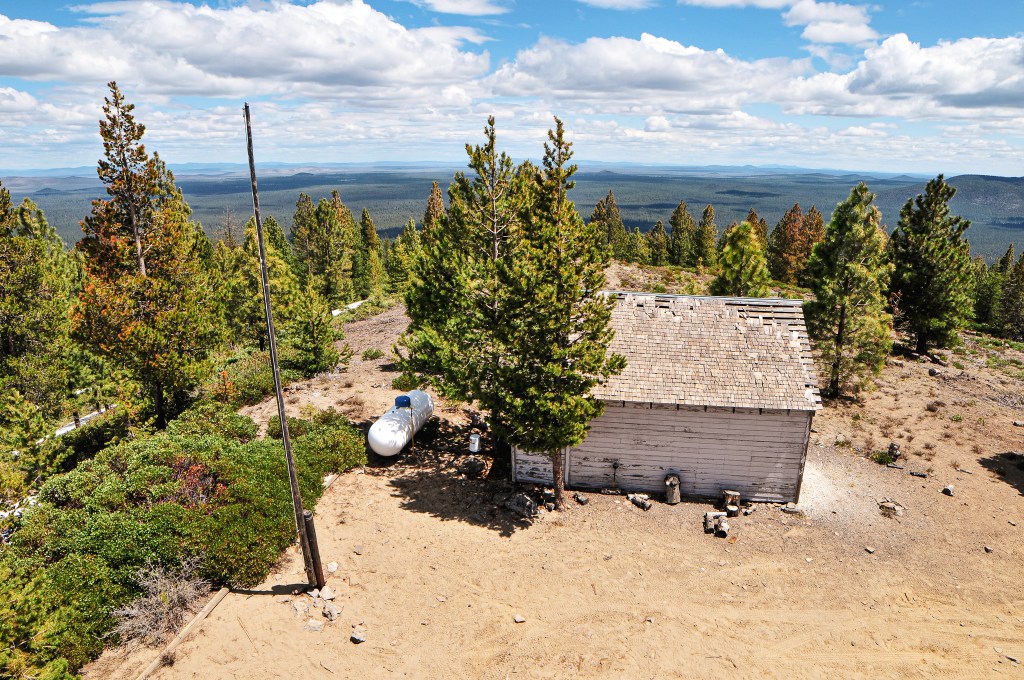
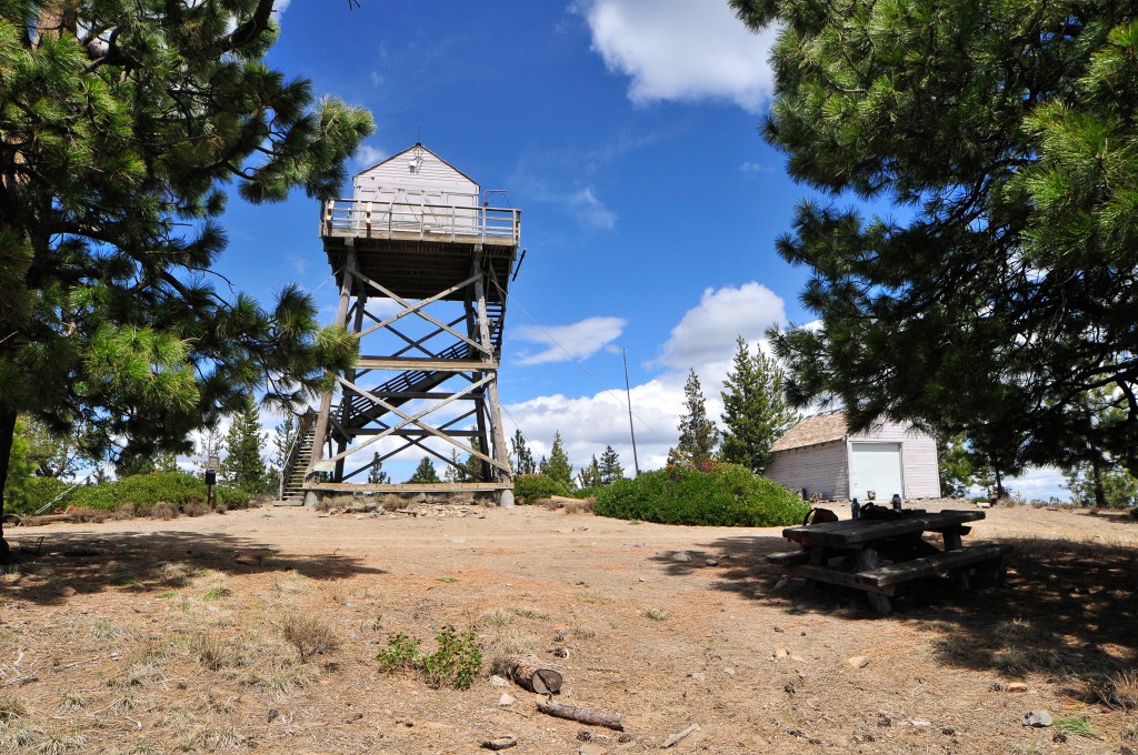
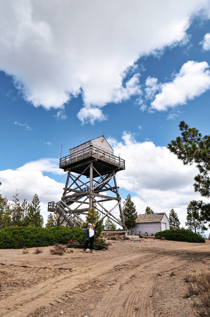
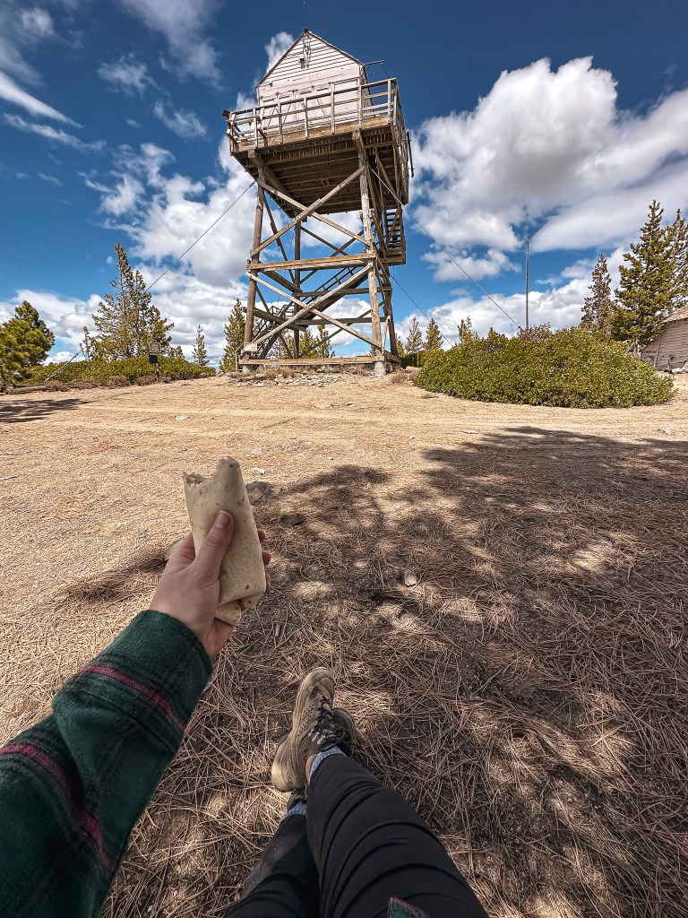
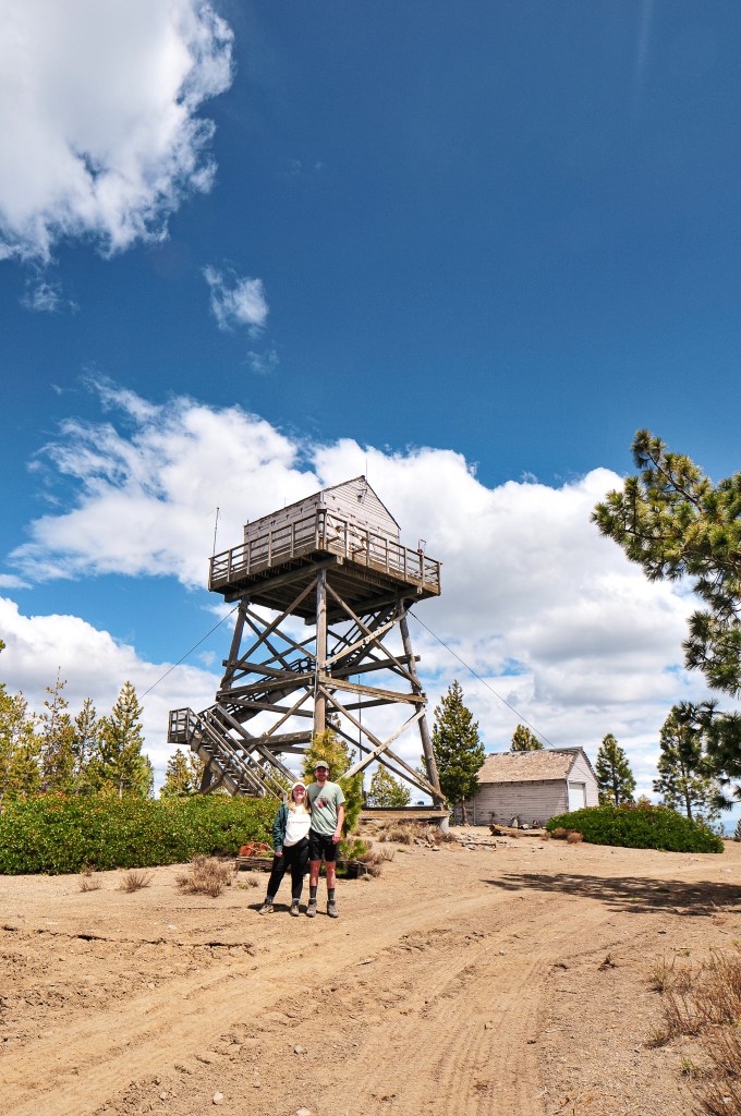
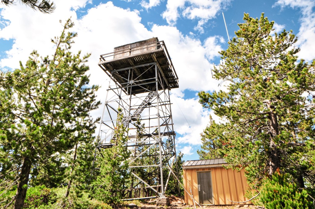
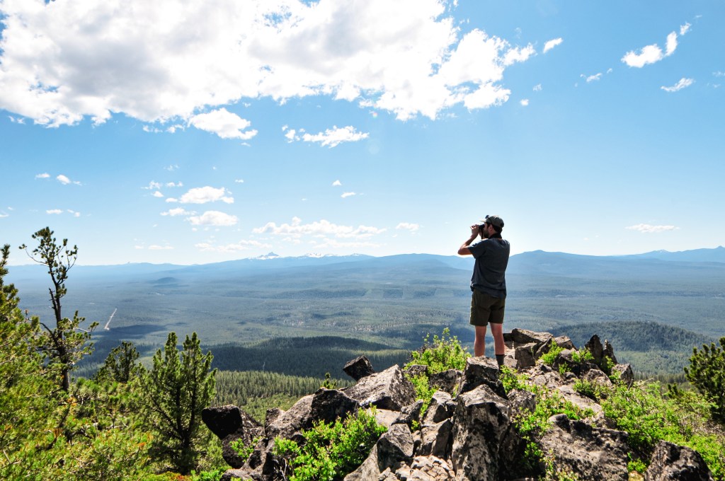
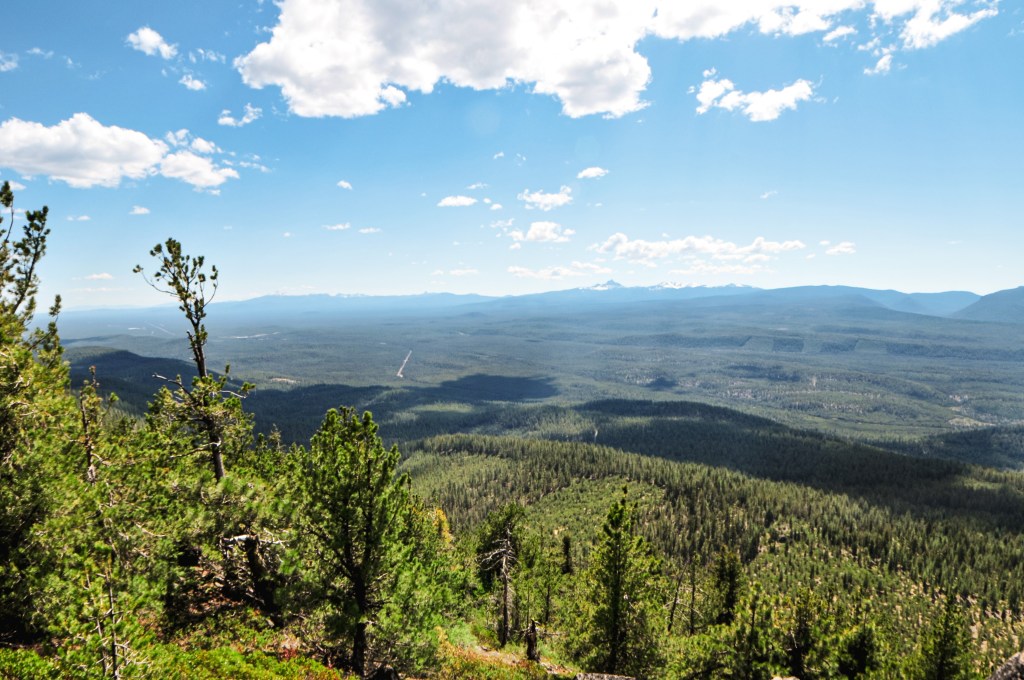
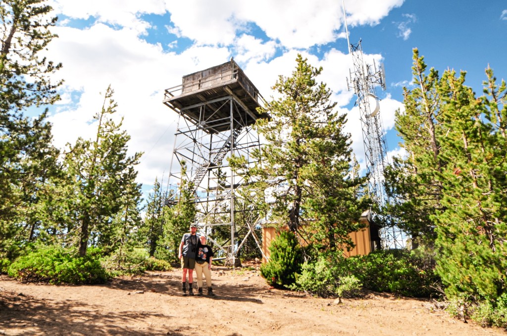
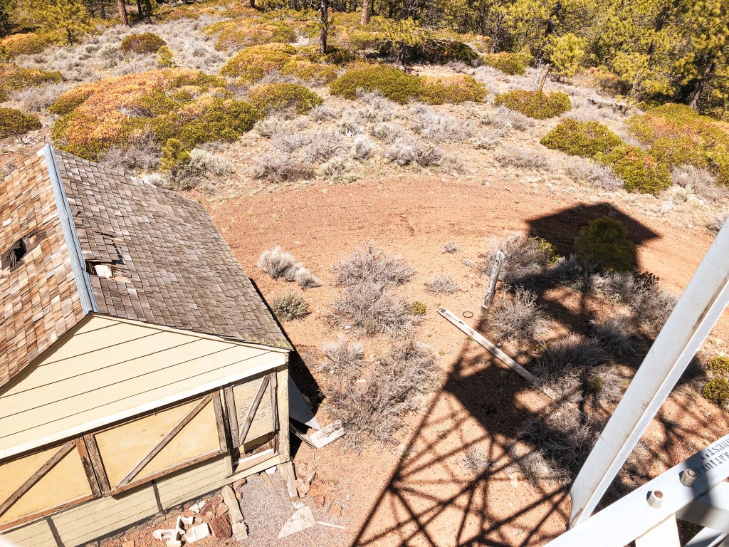
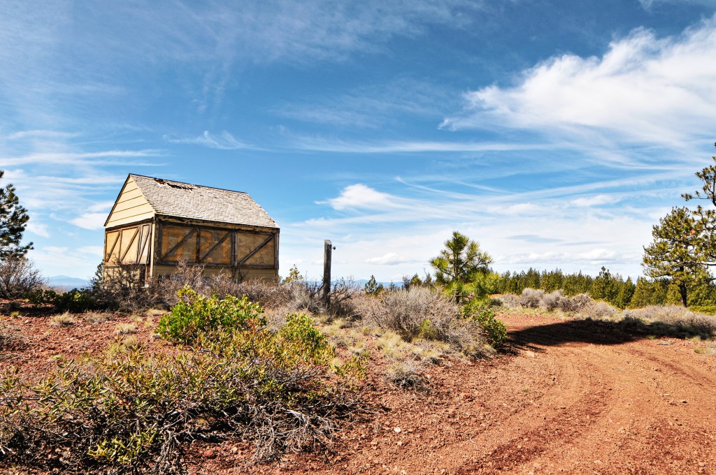
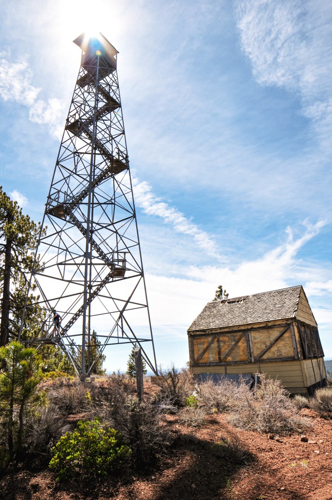
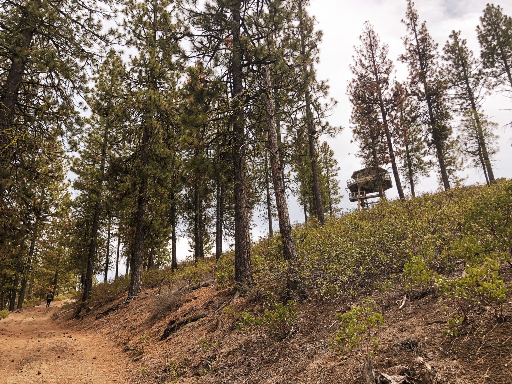
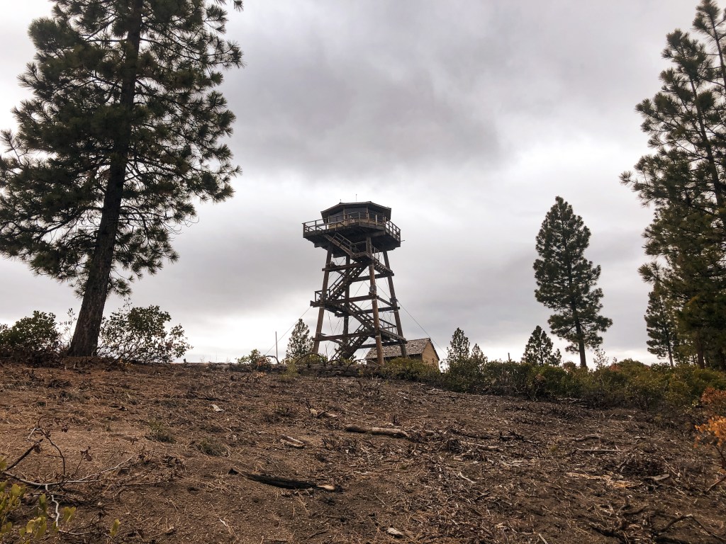
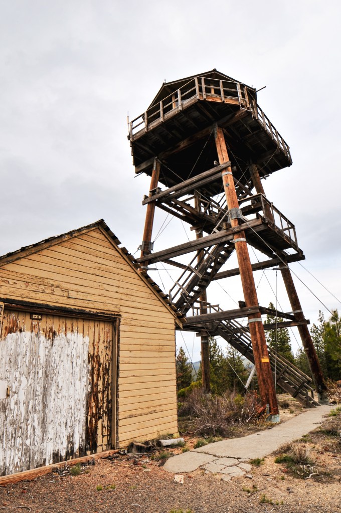
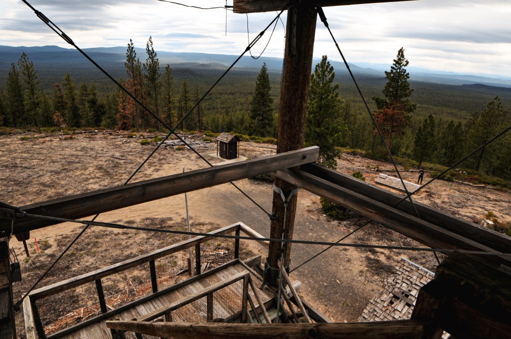
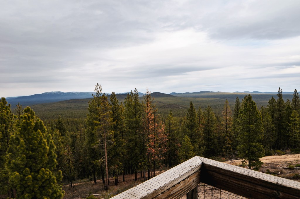
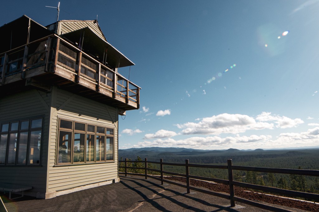
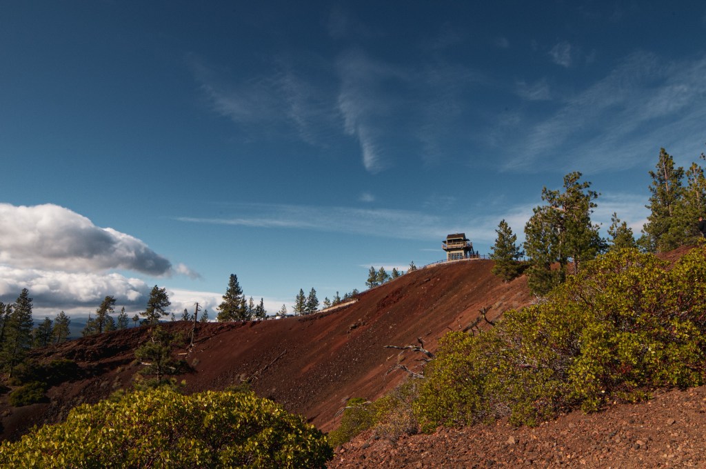
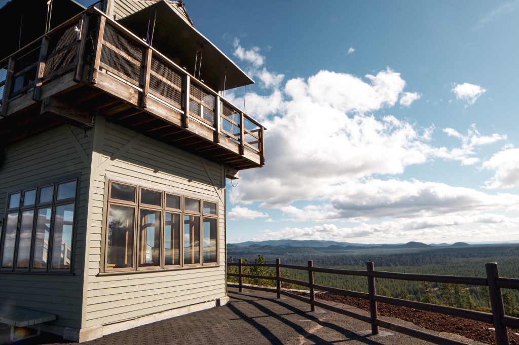
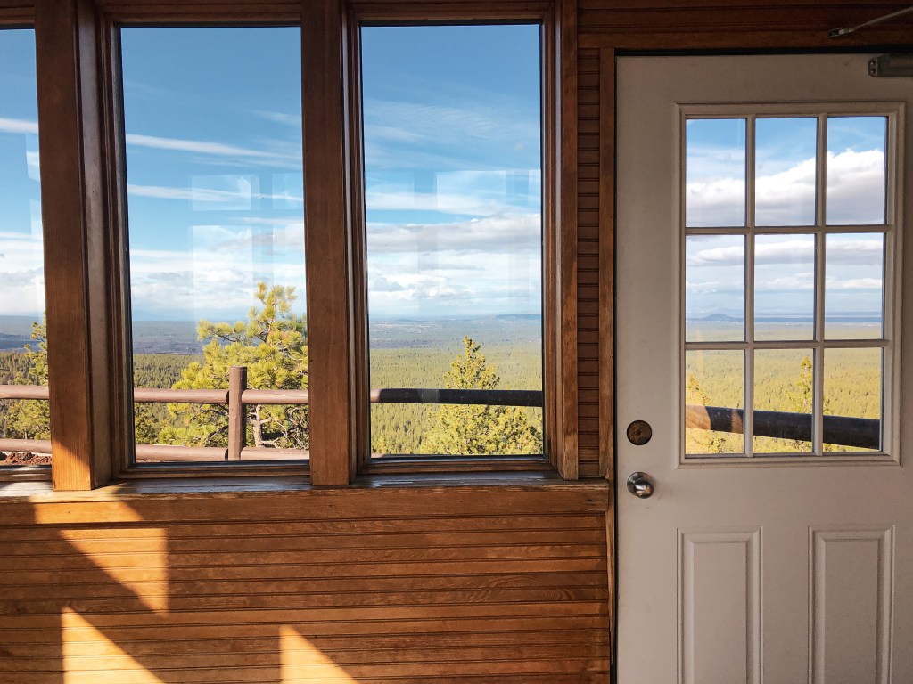
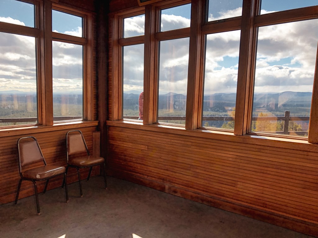
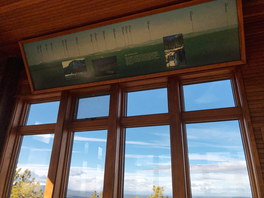
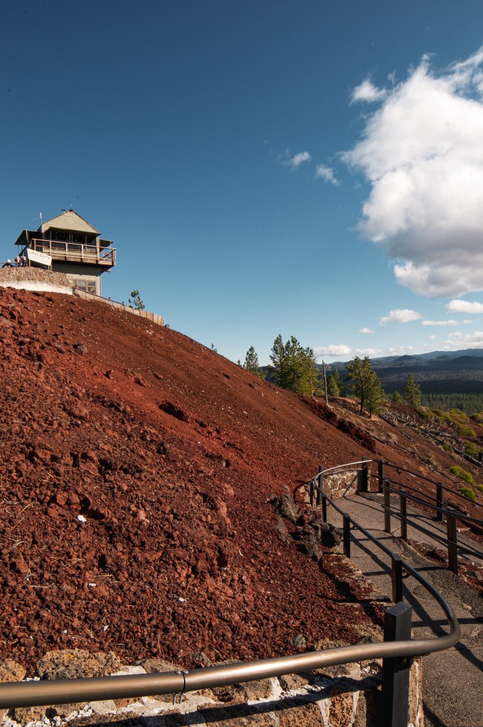
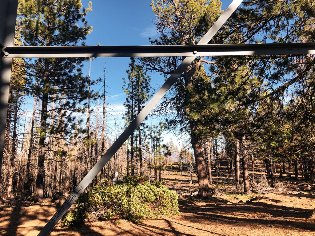
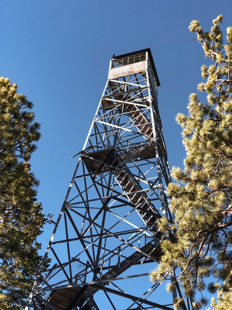
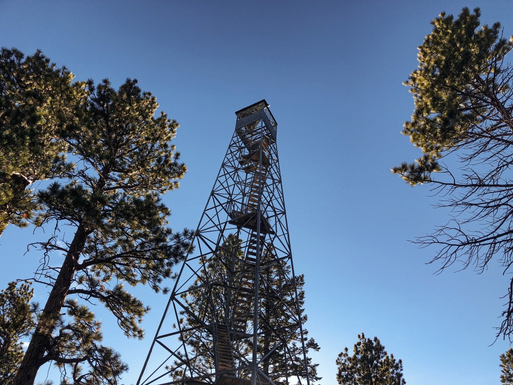
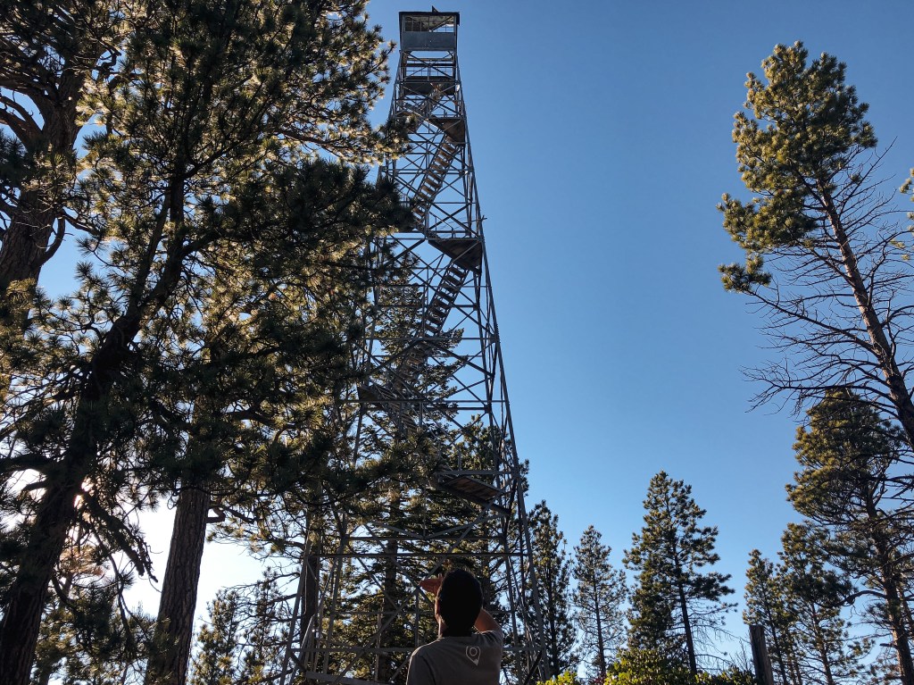
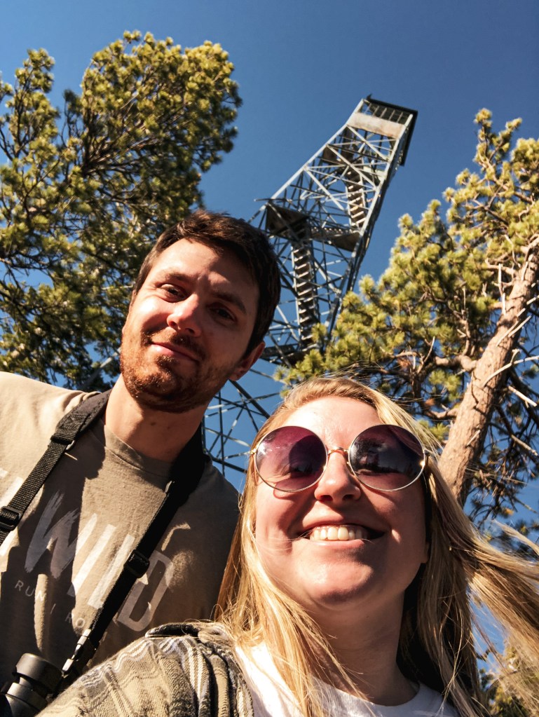
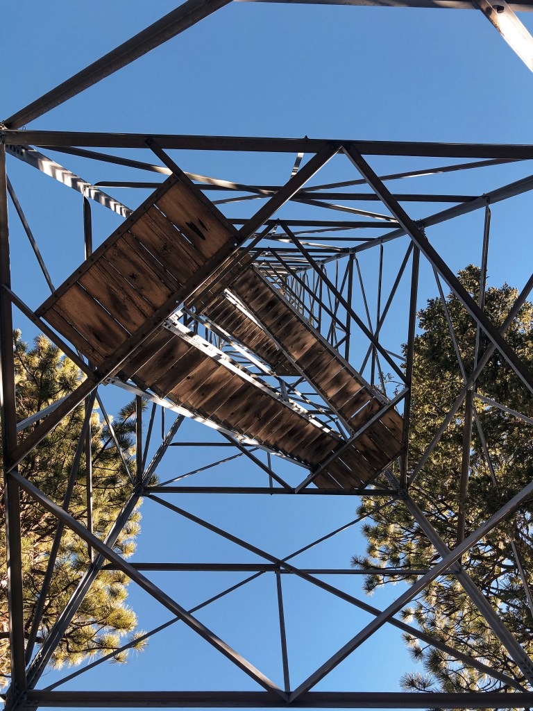
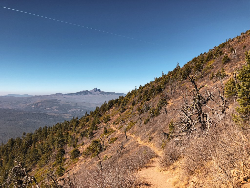
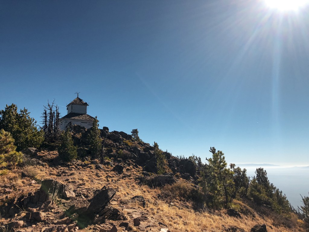
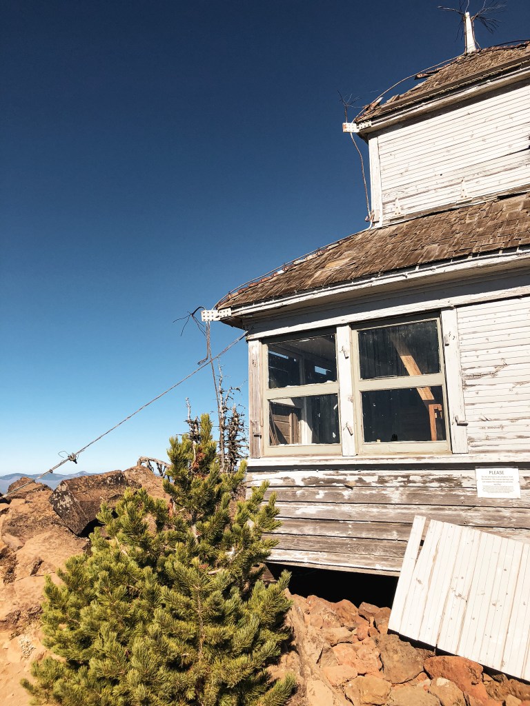
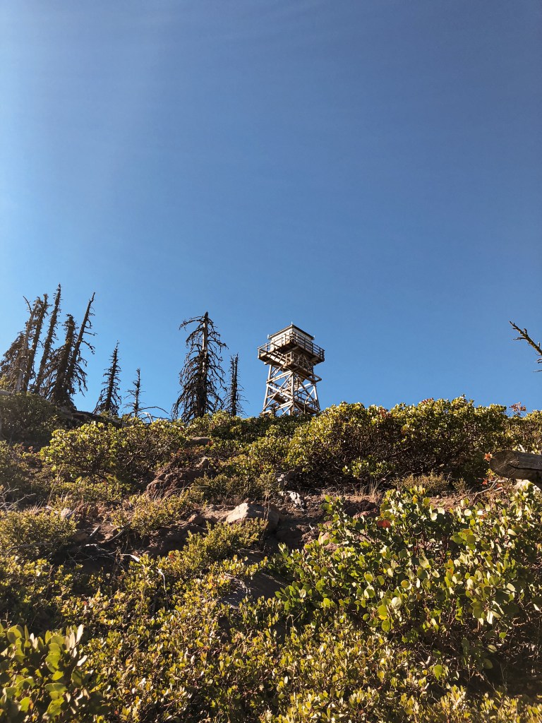
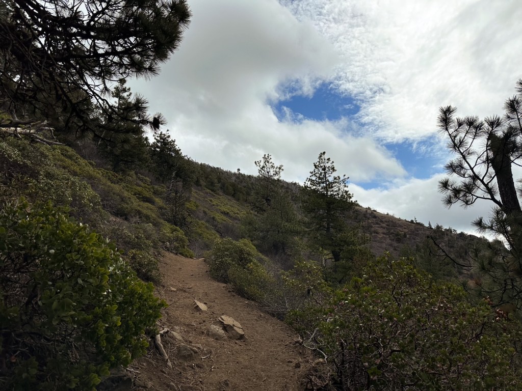
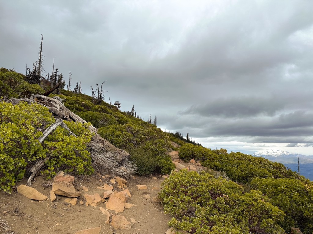
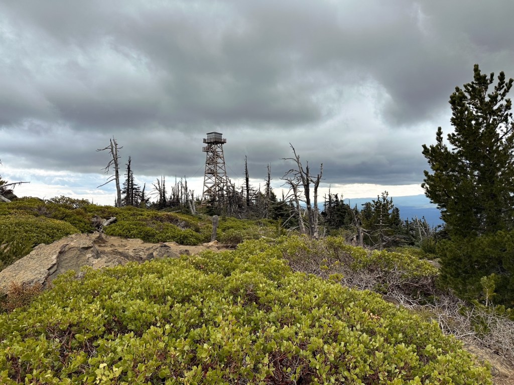
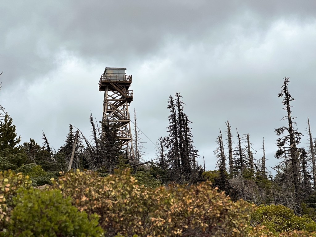
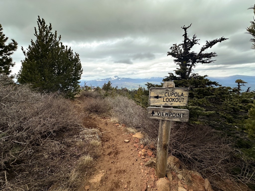
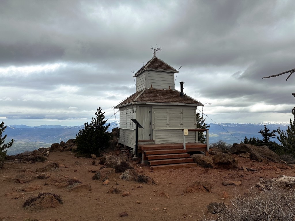
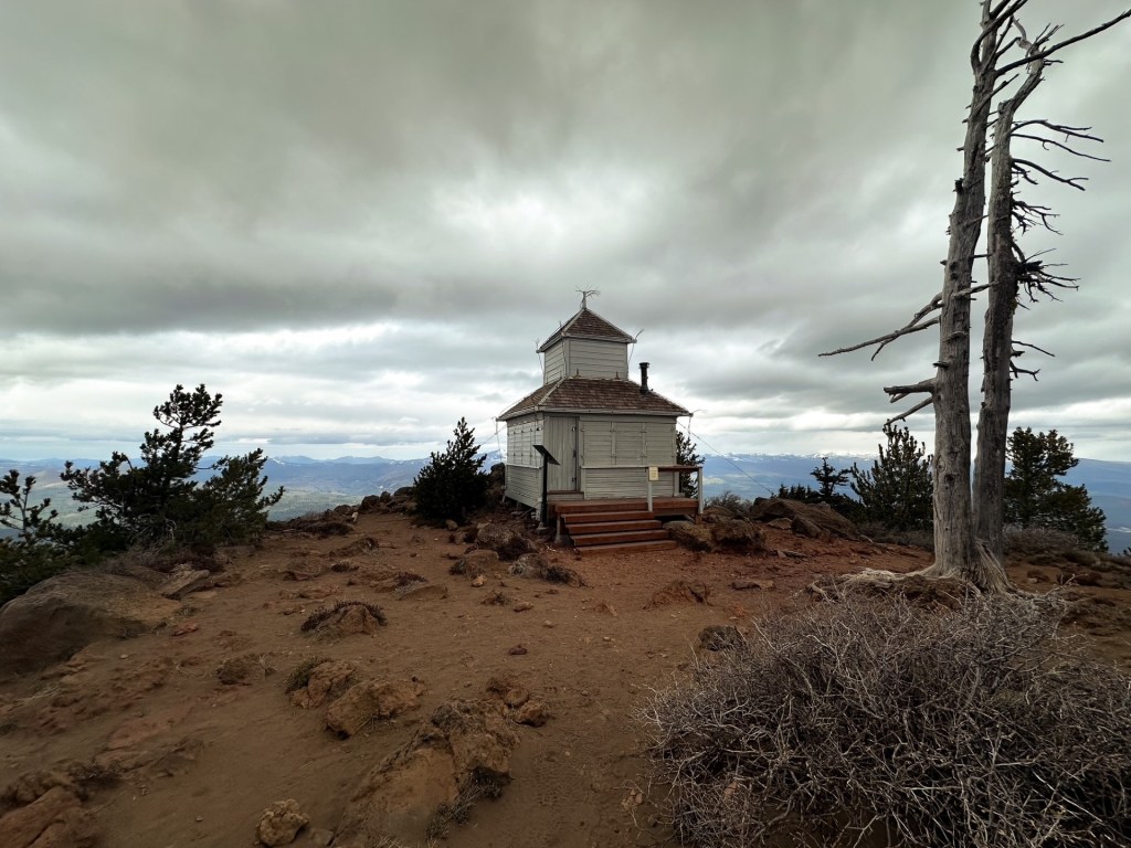
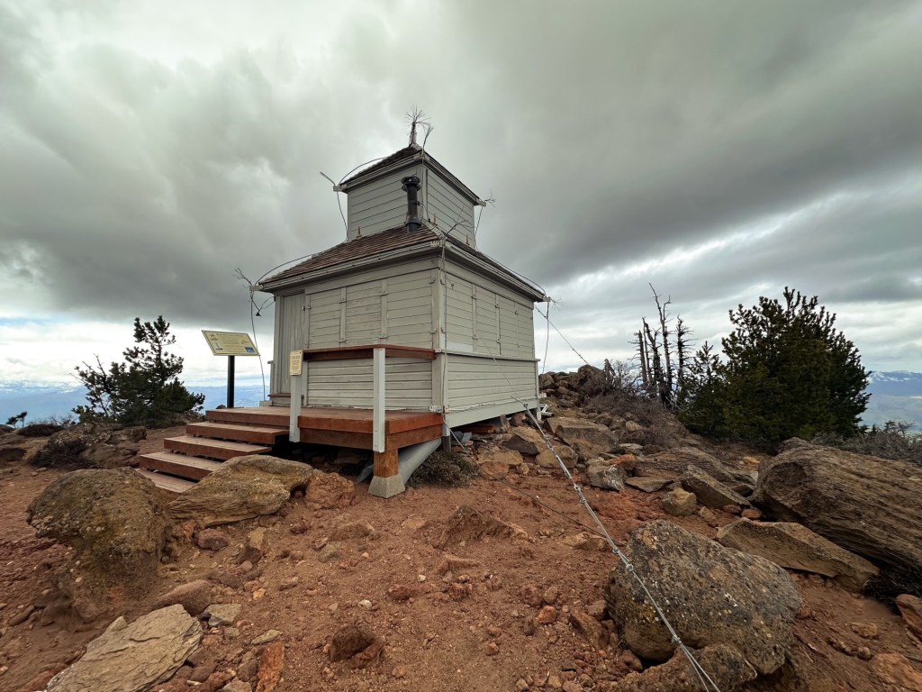
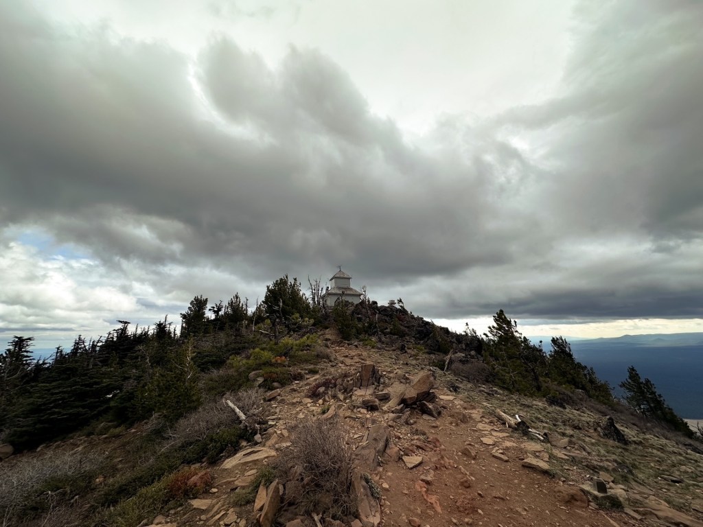
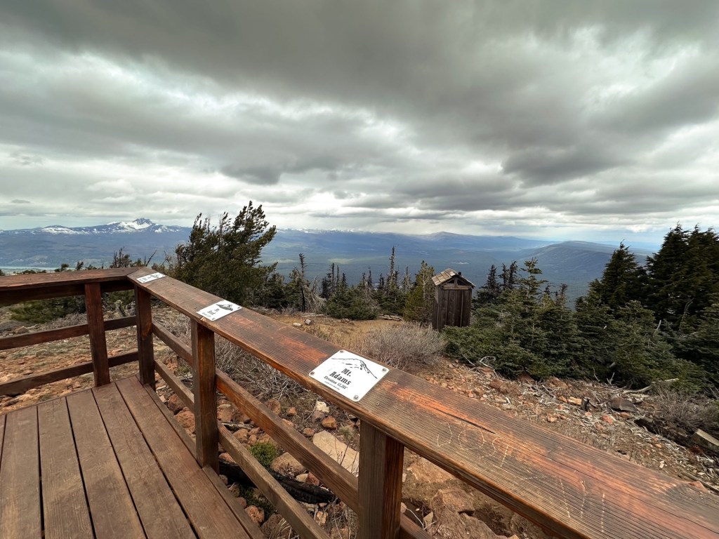
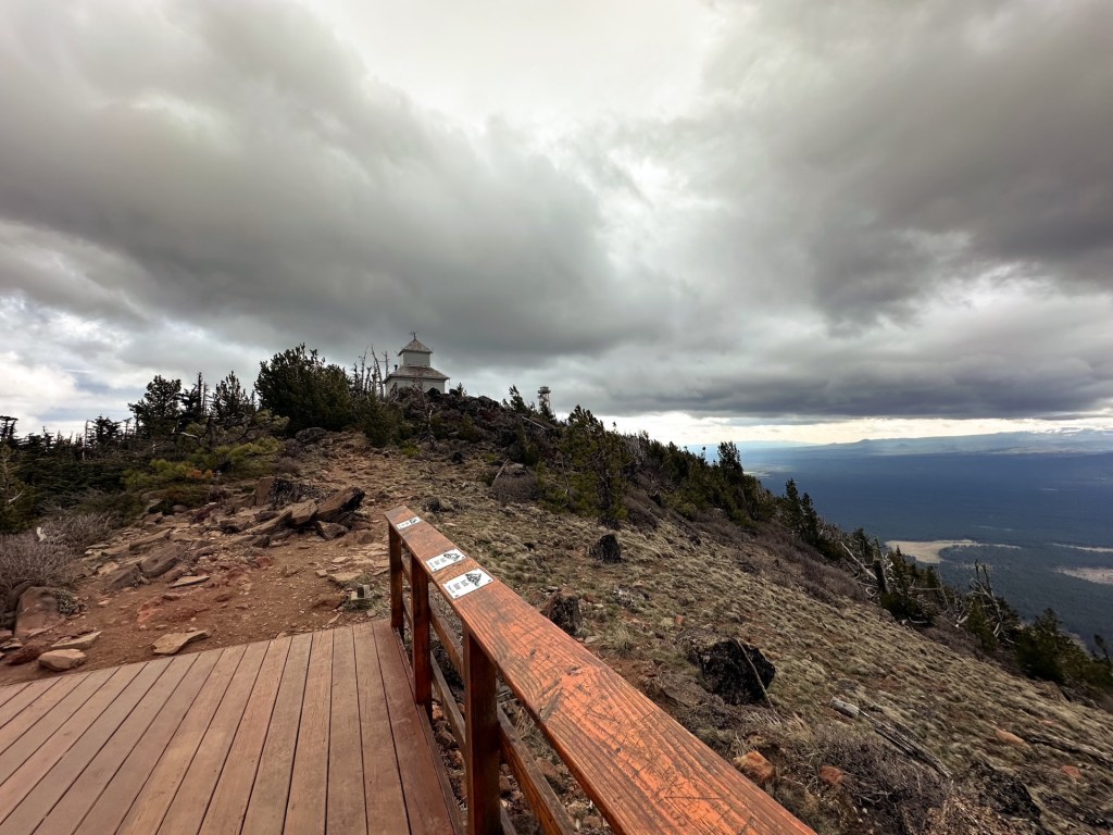
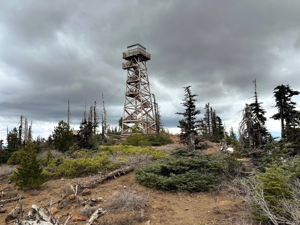
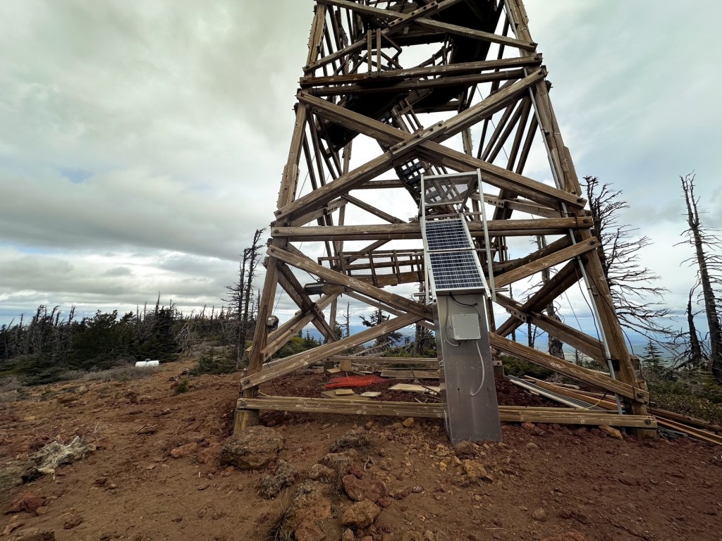
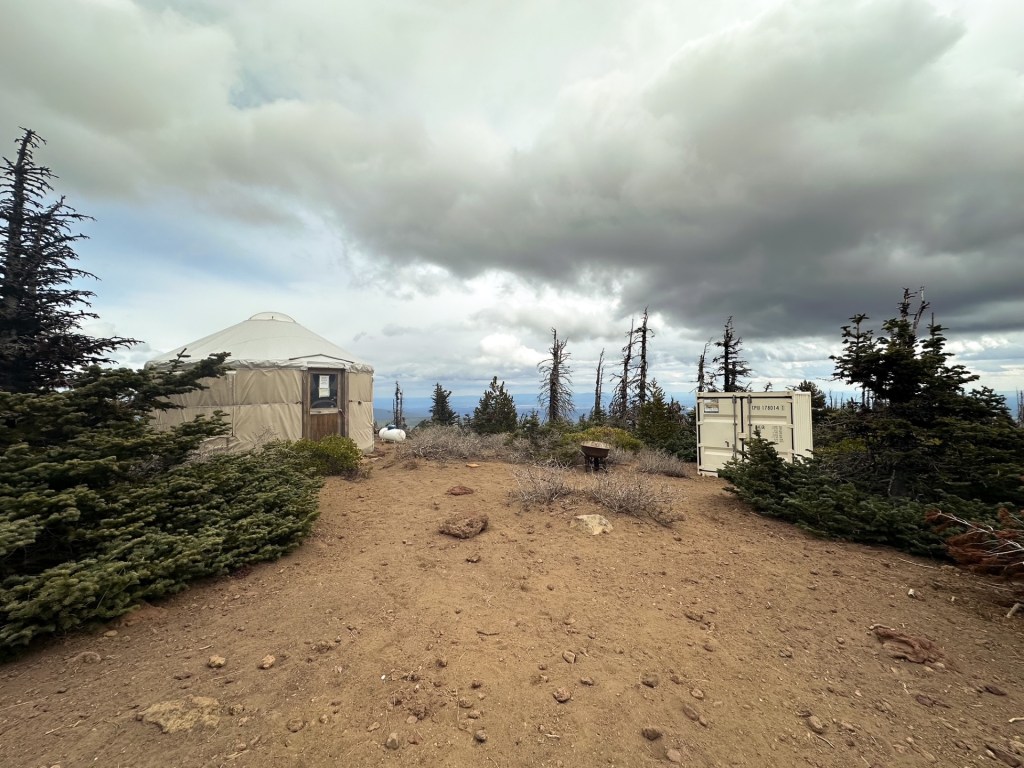
We took a sharp right to continue on the trail to the left of the sign board. The remainder of the trail is the route I had taken back in 2018. It was only another 2ish miles with ~1,500′ of gain from the upper trailhead to the summit. While the lower trail and the first portion of this trail are forested, it eventually opens up to an exposed slope before reaching the broad summit. Thankfully, we had the reprieve of cloud coverage for this portion. We also saw most of the people during this section of the hike – though still significantly less than if we were to come during peak season. I had prompted Garnet to hike ahead during the final push since I wanted to take a few extra breaks and pictures. I could not see where he was when I reached the summit, but headed for the Cupola first. A few hikers we had passed on the way up warned that the summit was windy and cold. I didn’t feel the true nature of their statements until I stepped out to the viewpoint platform beyond the Cupola. My body temperature instantly dropped and my fingers hurt from the bite in the wind. I made a quick retreat after taking a few pictures to put on additional layers. Unfortunately, I was missing the pair of gloves I usually keep in my day pack and it was hard to keep my hands warm (they were probably packed away at home in a different bag from last season). Garnet had been over by the tower during this time and eventually joined me on a bench. We decided to move back closer to the tower for our lunch since it had more of a windbreak. This did not last long as I could not stay warm even with my layers. I started hiking down while Garnet finished eating. The clouds had been threatening precipitation most of the morning and it finally started to snow on my way down. There was not a ton of precipitation, but it felt more like little ice pellets as the wind whipped it into my face.

The descent was much quicker than the ascent and Garnet caught up shortly after it started snowing. We found ourselves delayering again as quickly as the clouds rolled out. I was feeling minimal fatigue by the time we returned to the Upper Trailhead, but it caught up to us on the lower portion. Garnet ended up taking more breaks on the down hill than he needed on the up hill. Once the sun came out we were both feeling extreme sleep deprivation and felt like we could easily fall asleep on trail. Luckily, I had stashed some caffeinated drinks in the car to help make the 3-ish hour drive back home. Strava calculated our final hike at 10.46 miles and 3,534′ of gain.