Location.
Mt Hood National Forest
Status.
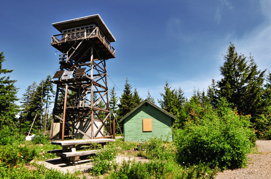
Active; Currently standing
Estimated drive time from Portland, OR.
1-1/2 hours
Date visited.
July 10, 2022
Elevation.
4,458′
National Historic Lookout Register.
US 11; OR 3
Trip Report.
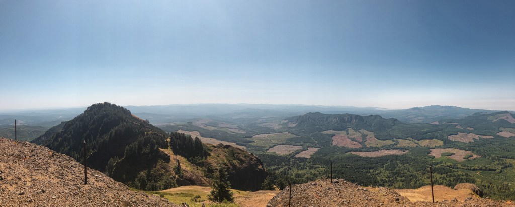
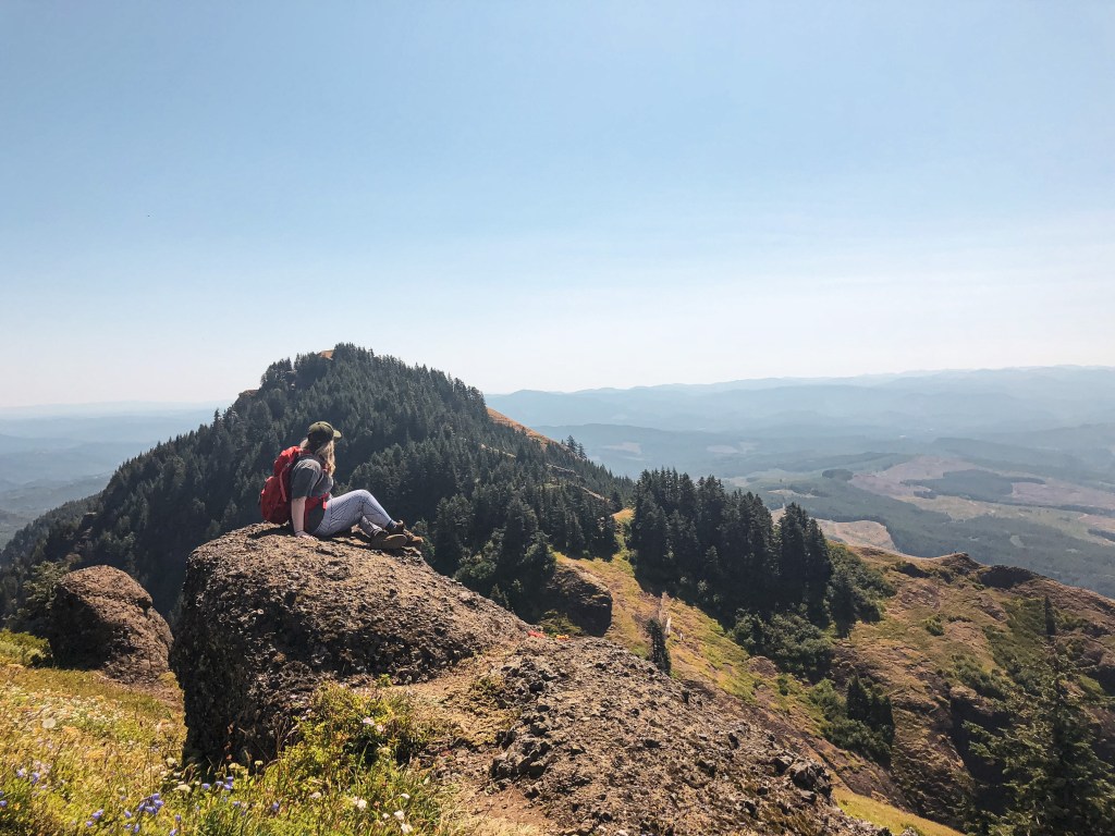
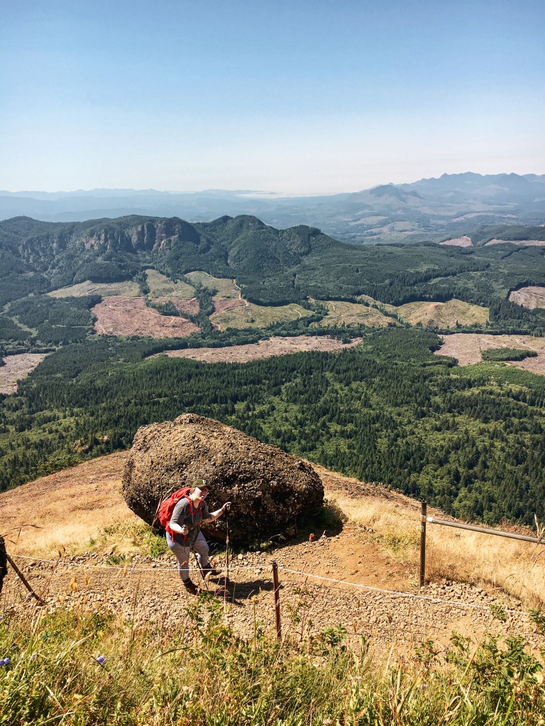
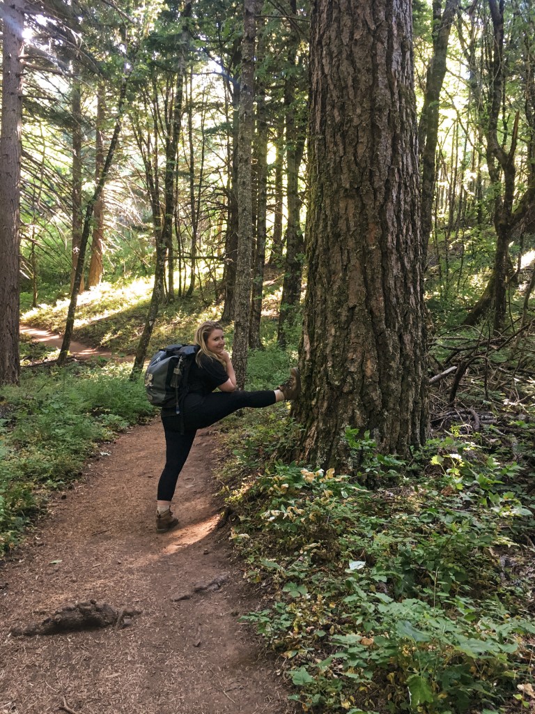
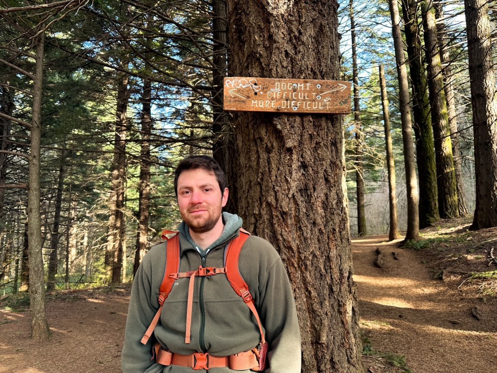
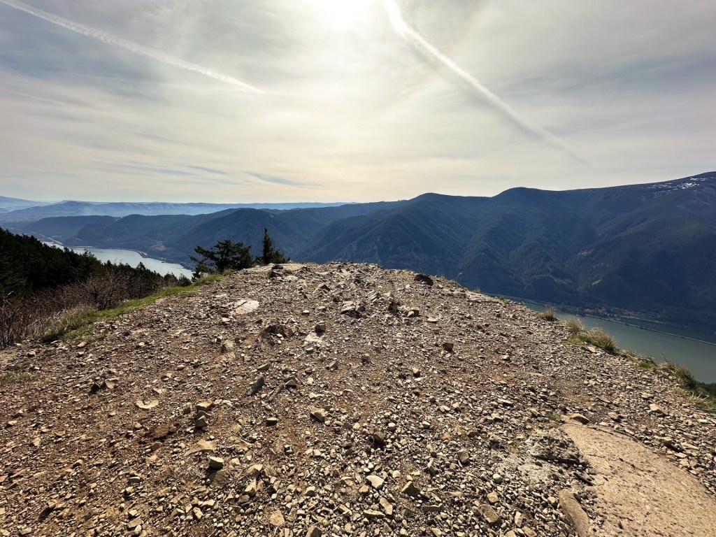
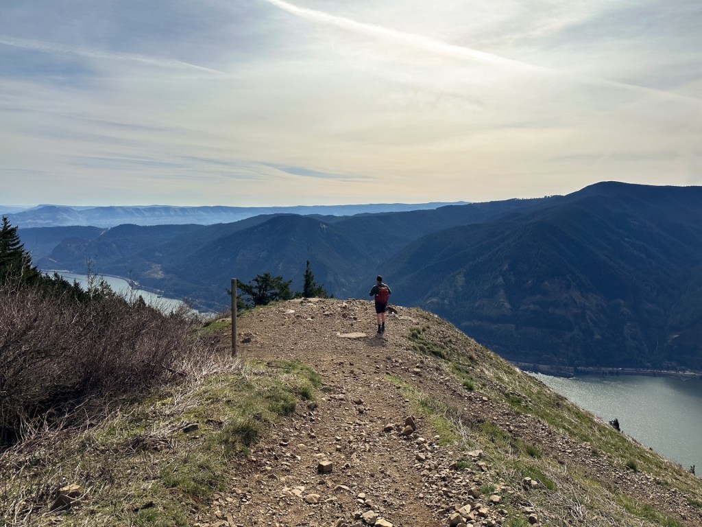
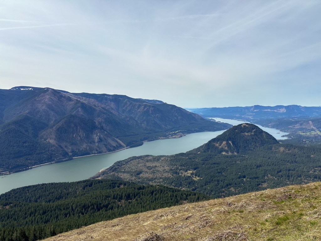
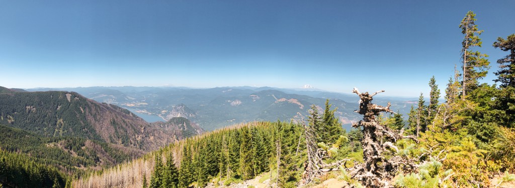
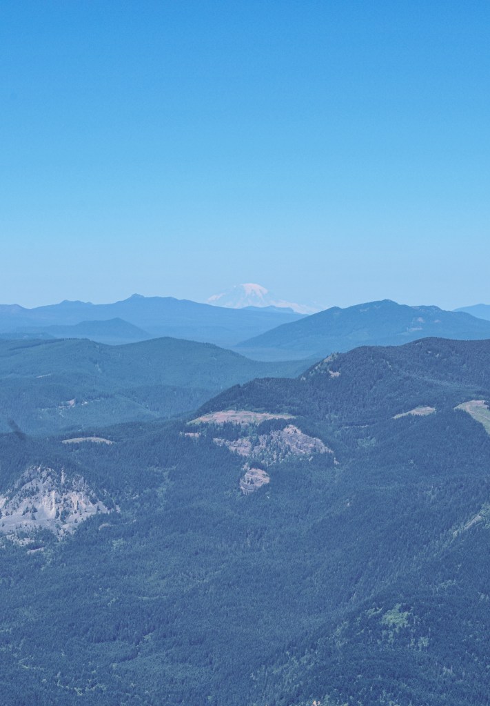
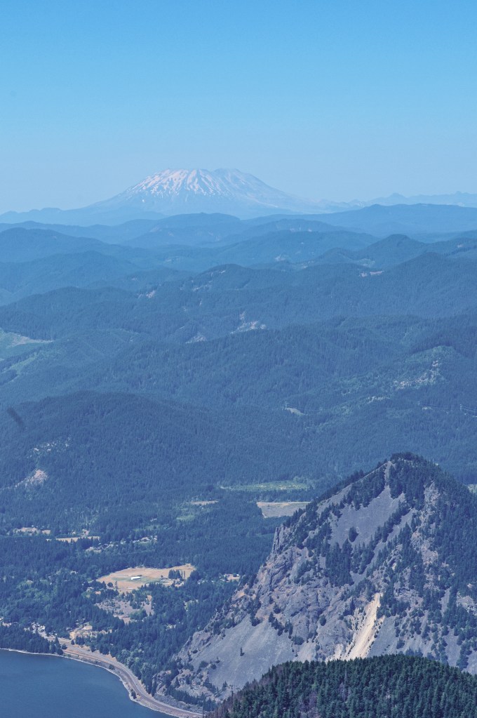
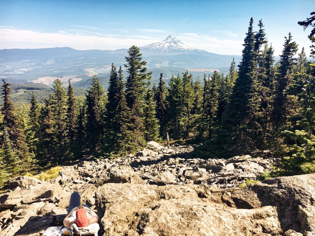
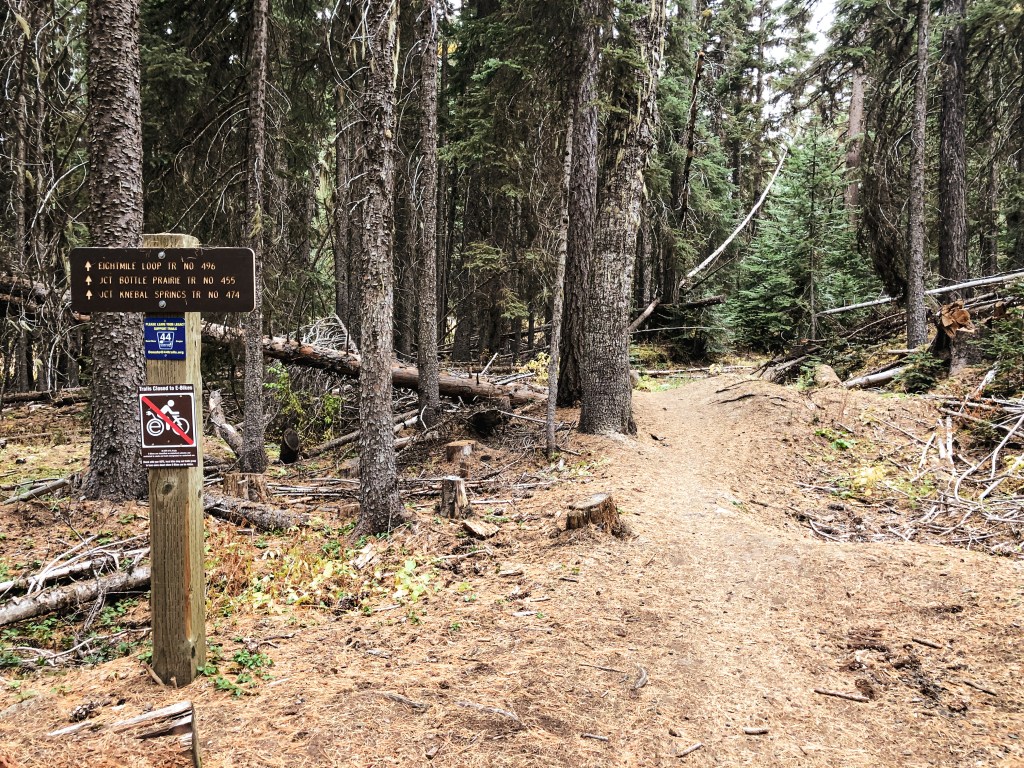
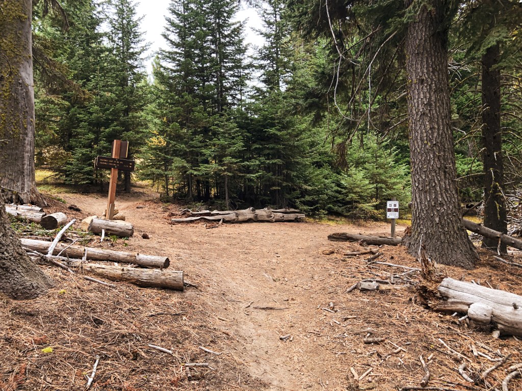
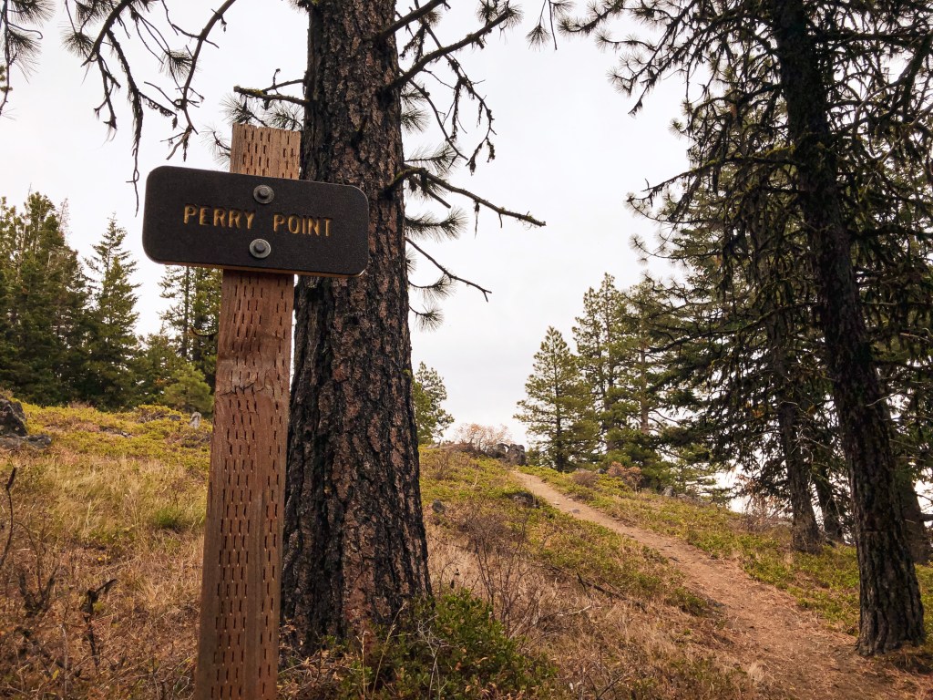
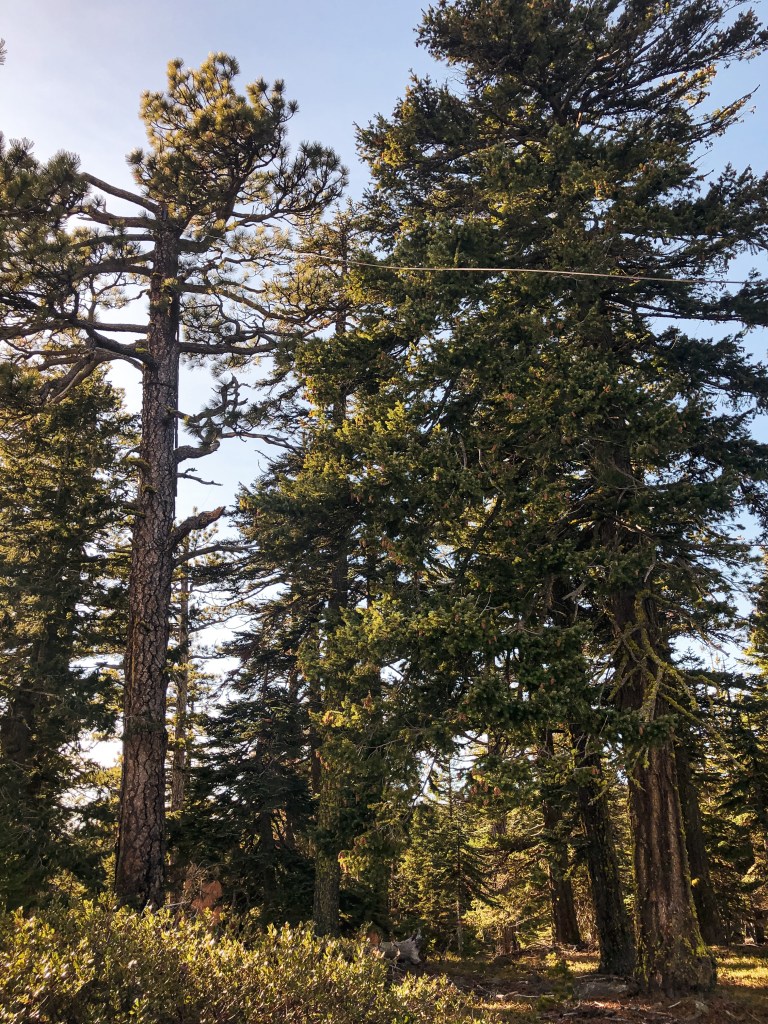
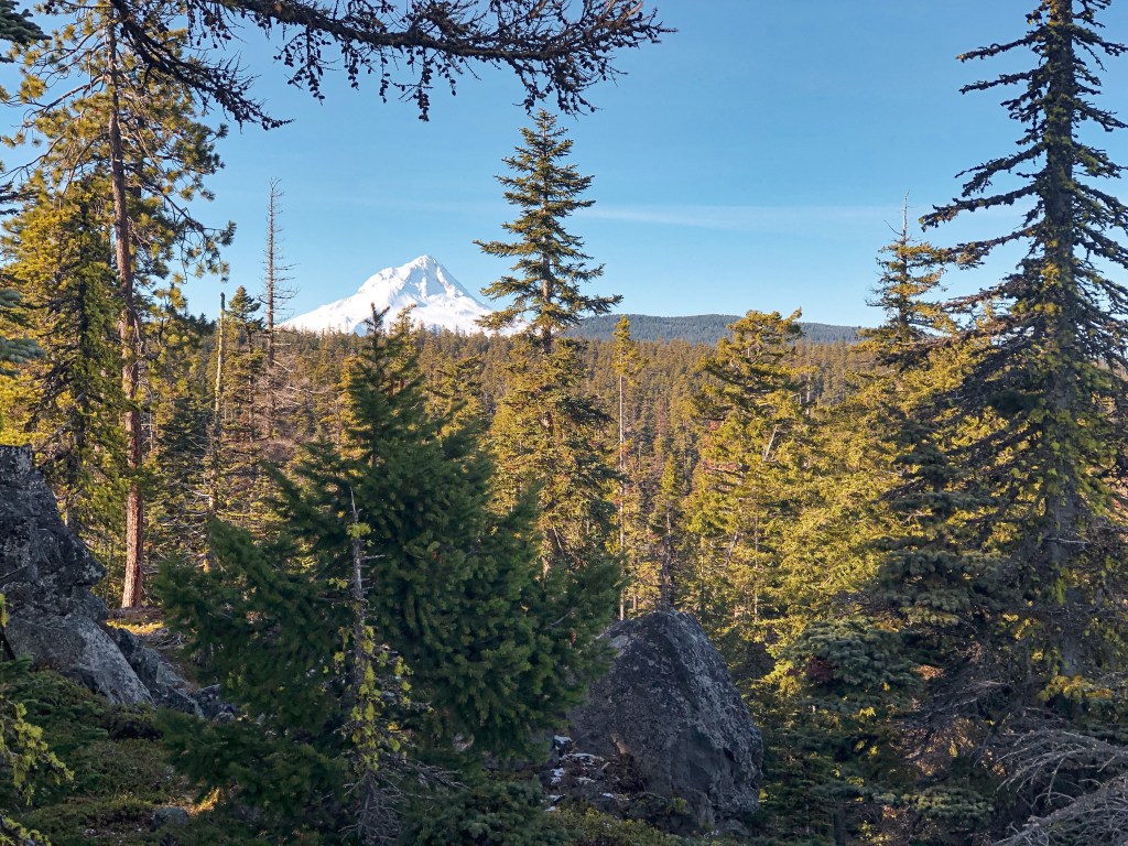
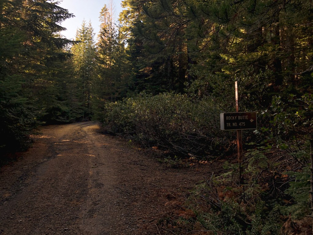
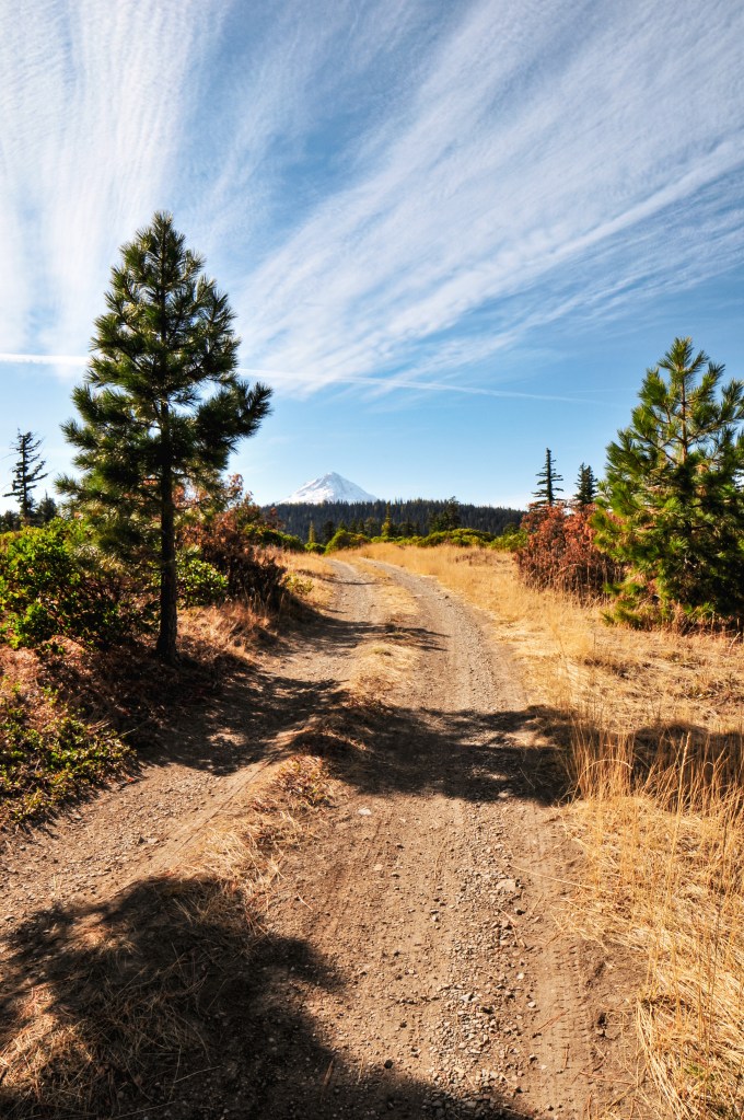
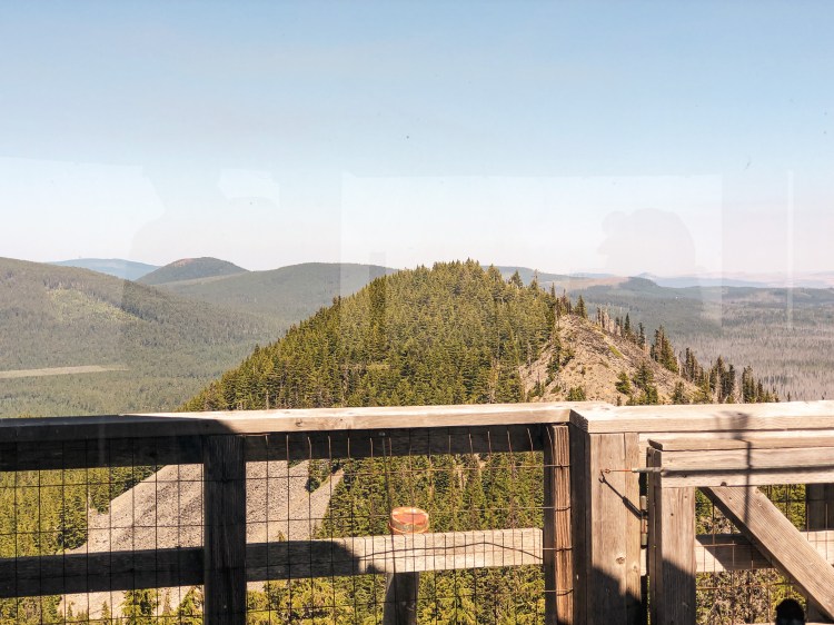
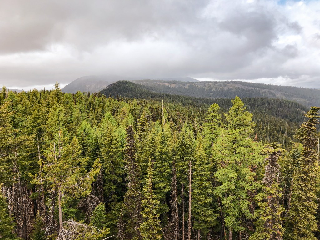
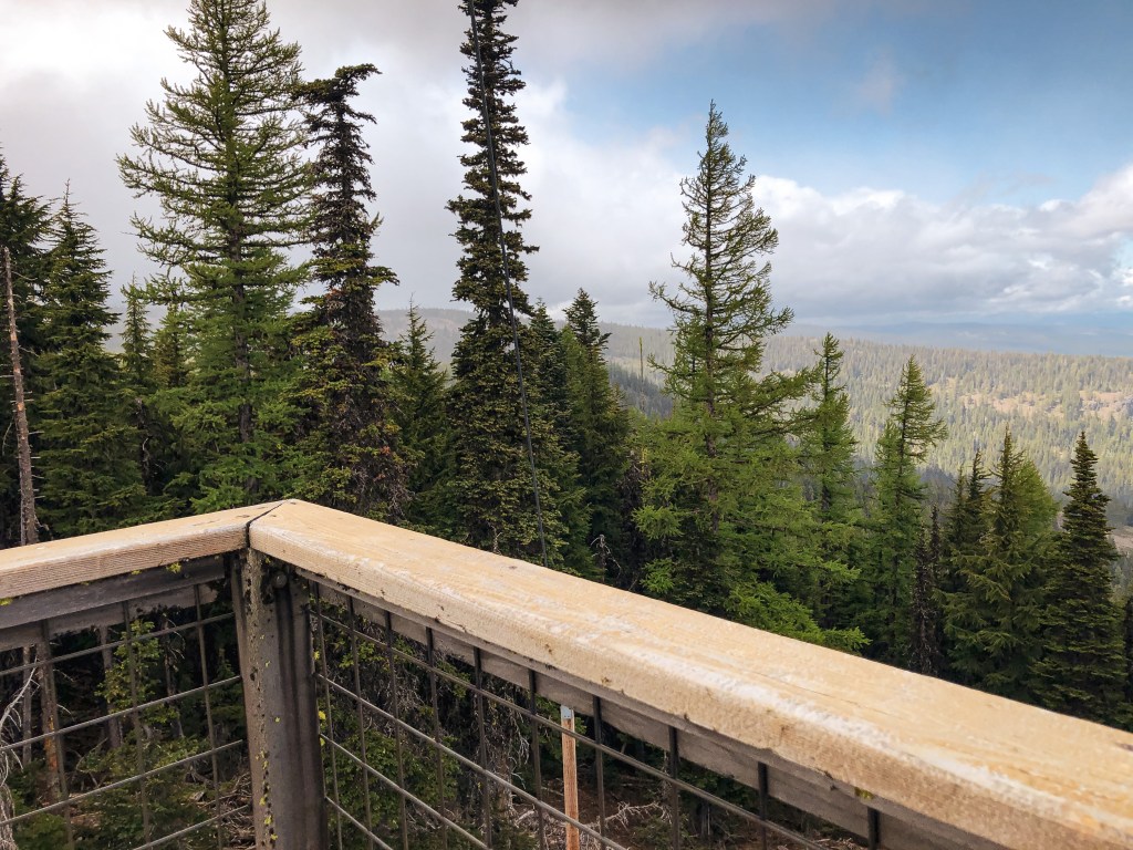
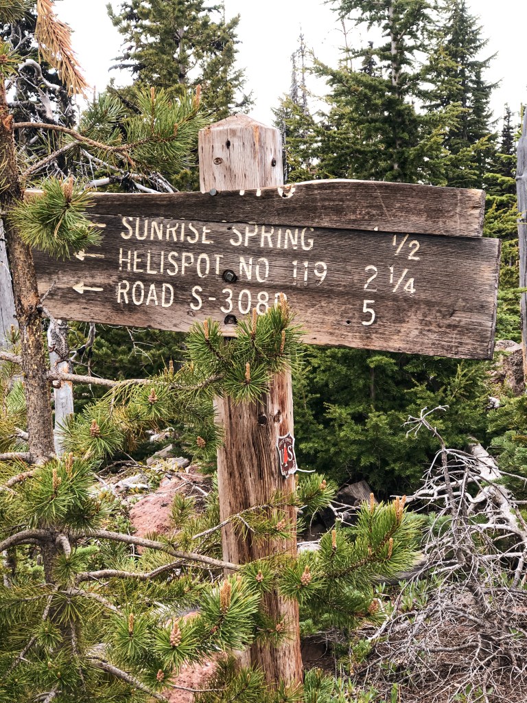
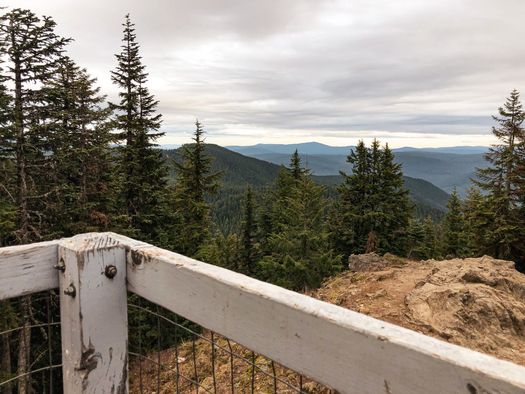
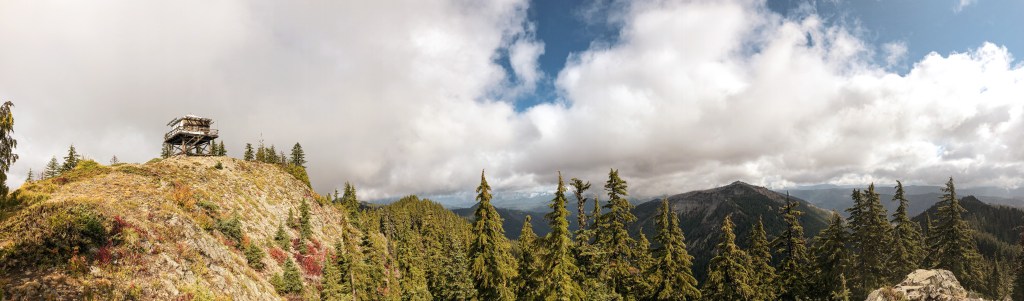
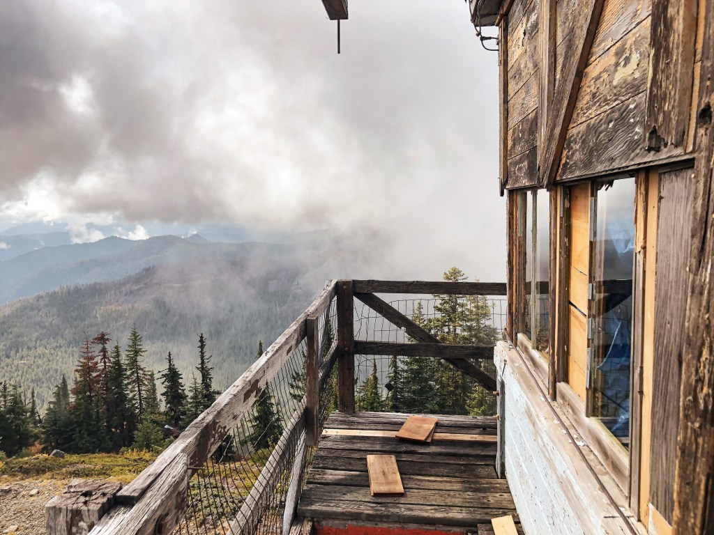
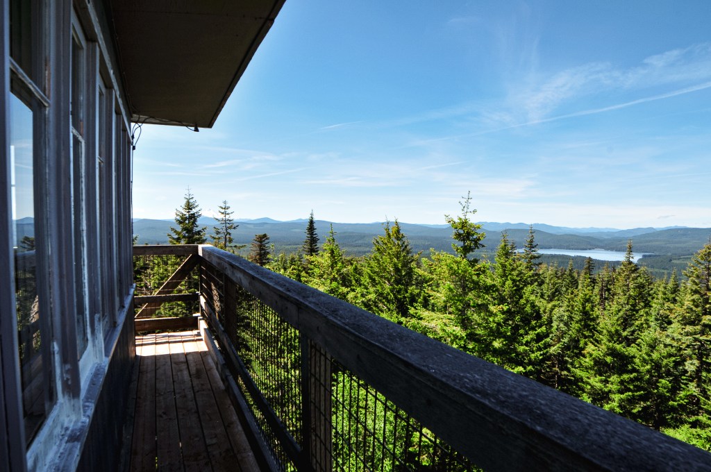
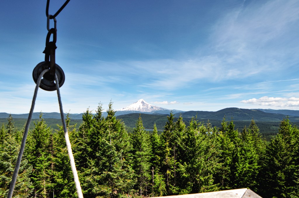
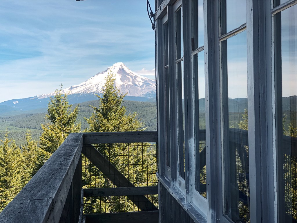
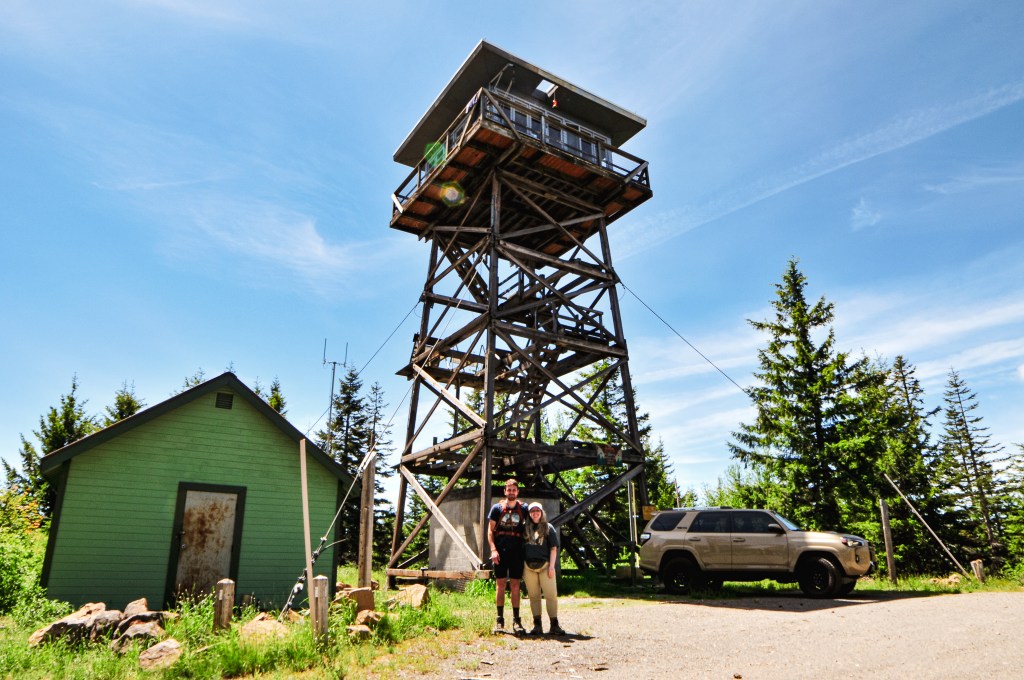
After our week long road trip dedicated to seeing fire lookouts in southern and south-eastern Oregon, we decided to look somewhere a little closer to home for a day trip. Clear Lake Butte has been in our back pocket for such an occasion given its easy access and proximity to Portland. Its popularity as a winter destination has kept us away in the colder months, but we knew it was actively staffed in the summer. I personally much rather talk to the lookout attendant than come upon some random renters during their winter stay. We left fairly early in the morning and found ourselves at the gated road before 10am. From Portland, you will want to head out to HWY-26 towards Government Camp. We turned right onto NF-42 which is past the turn off for Clear Lake Campground. The road to Clear Lake Butte is NF-240 off to the right. It should be obvious due to the gate, but it will be the second road down NF-42 on the right hand side. All roads are paved and parking is just a pull out at the beginning of NF-240. In the winter, you’d want to park at the snow park and hike in from there.
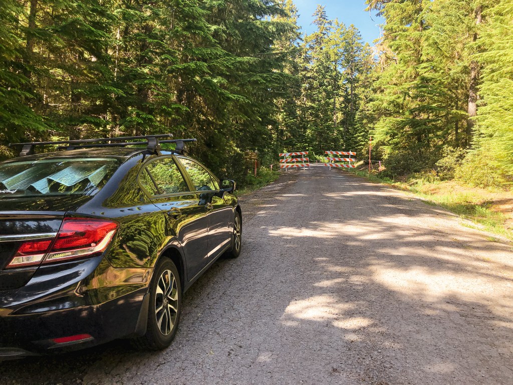
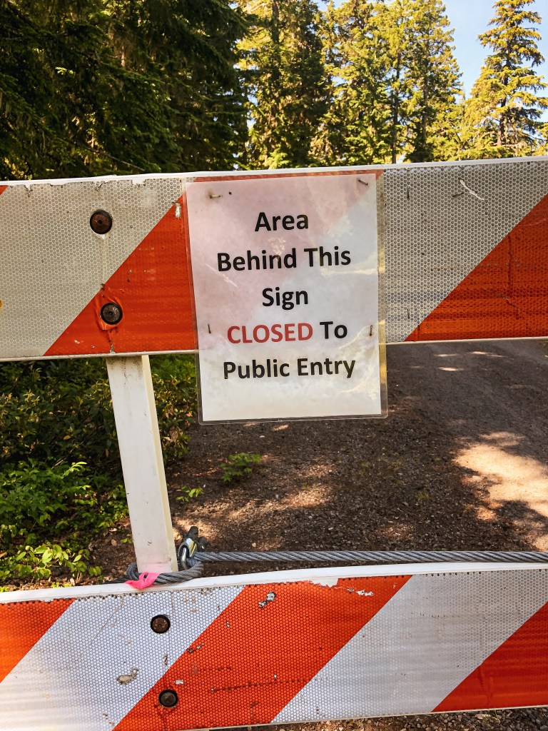


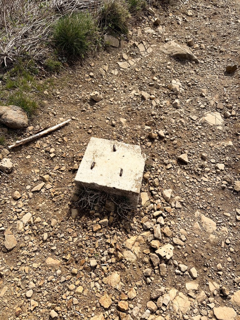
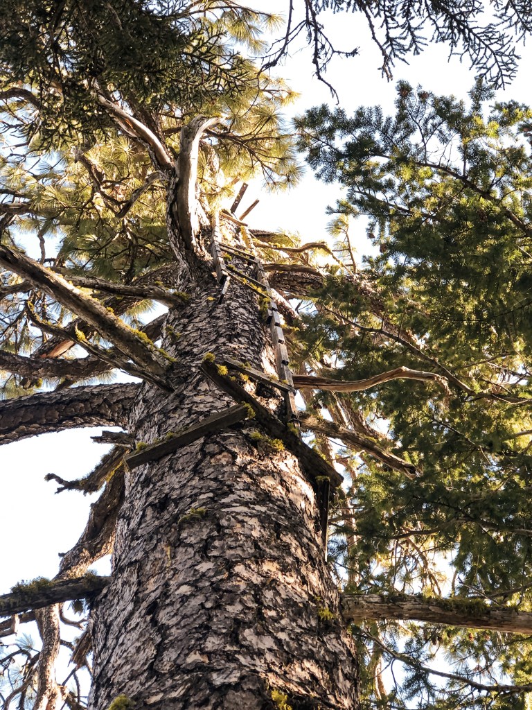
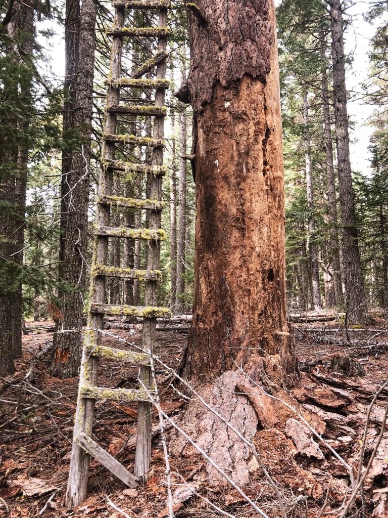
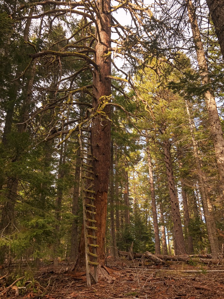
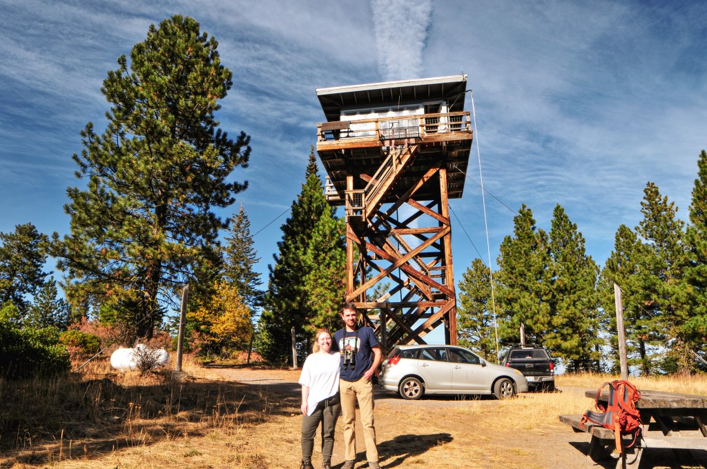
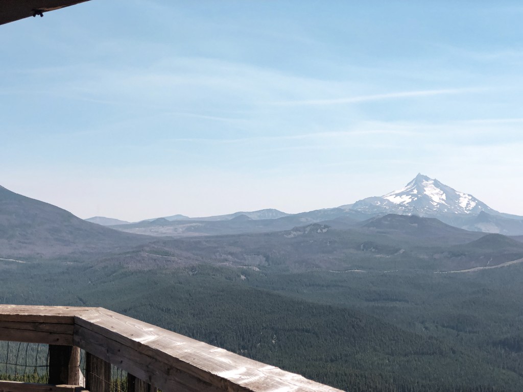
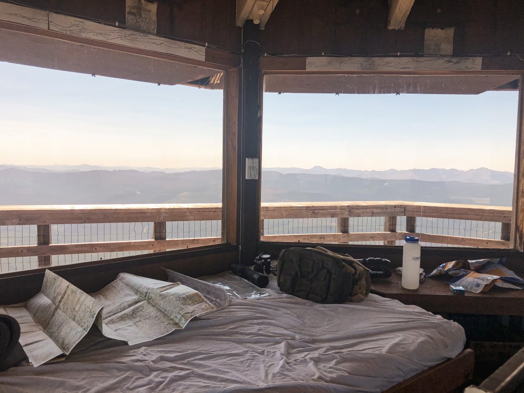
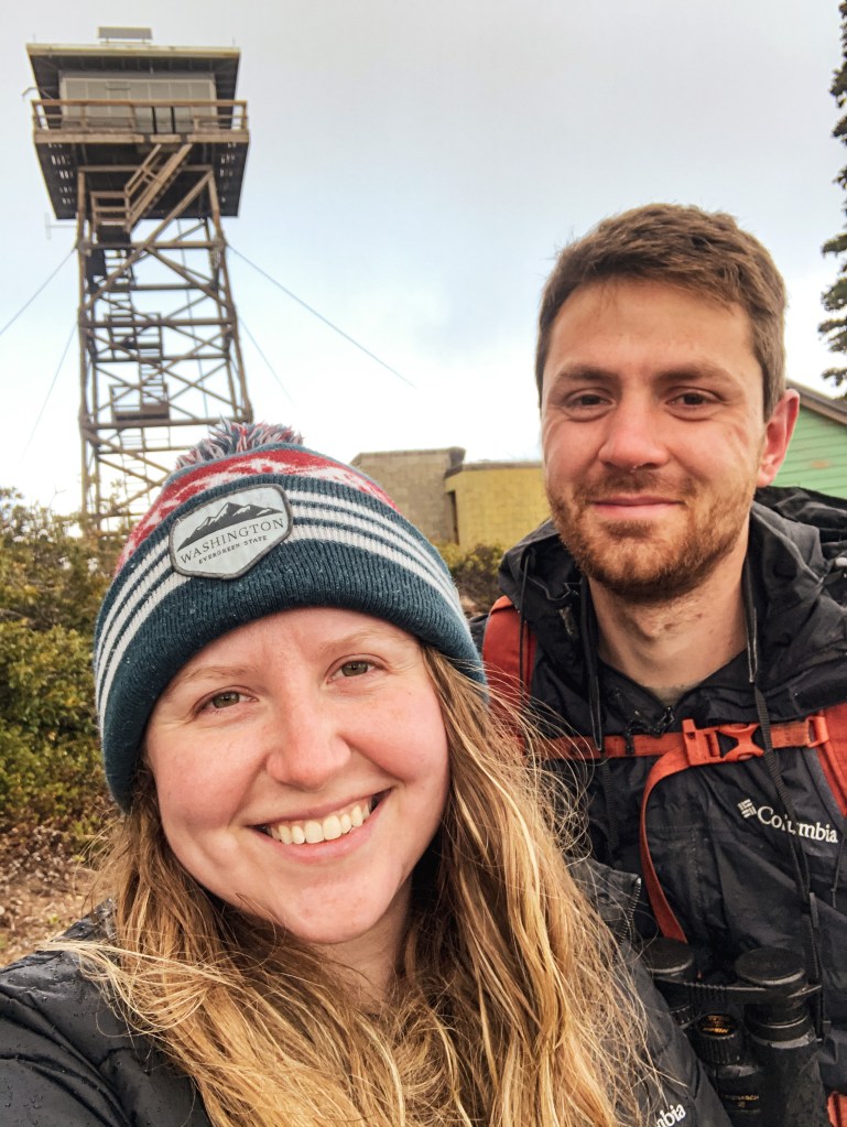
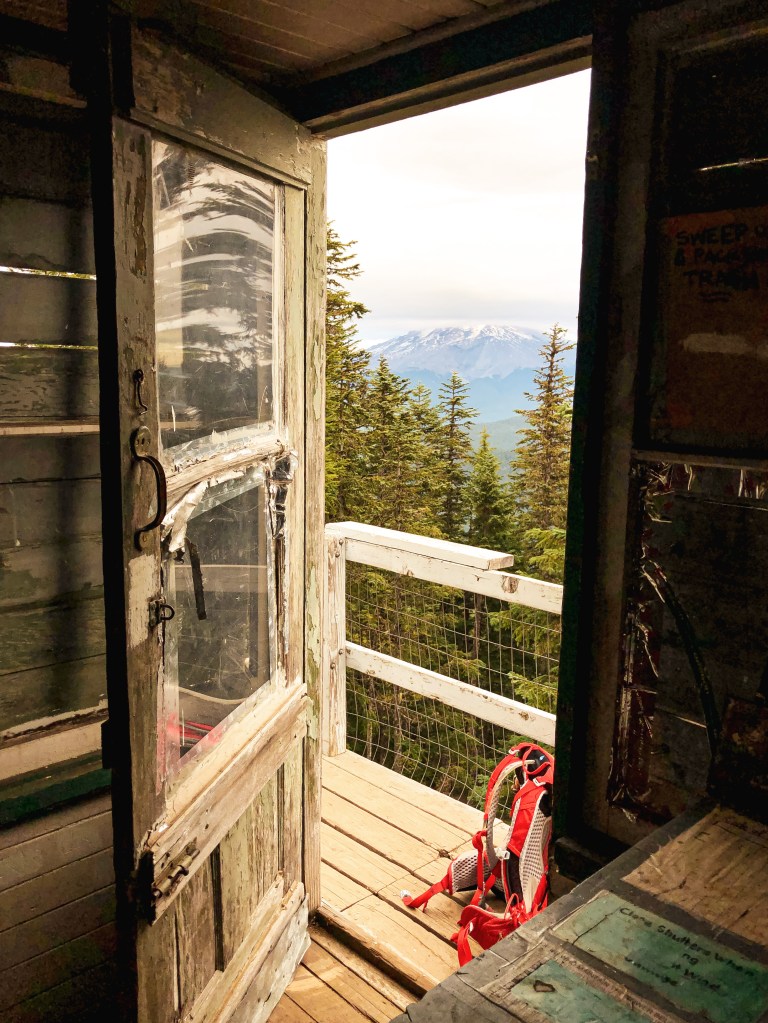
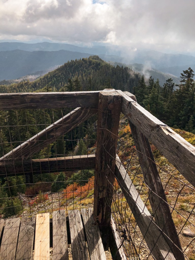
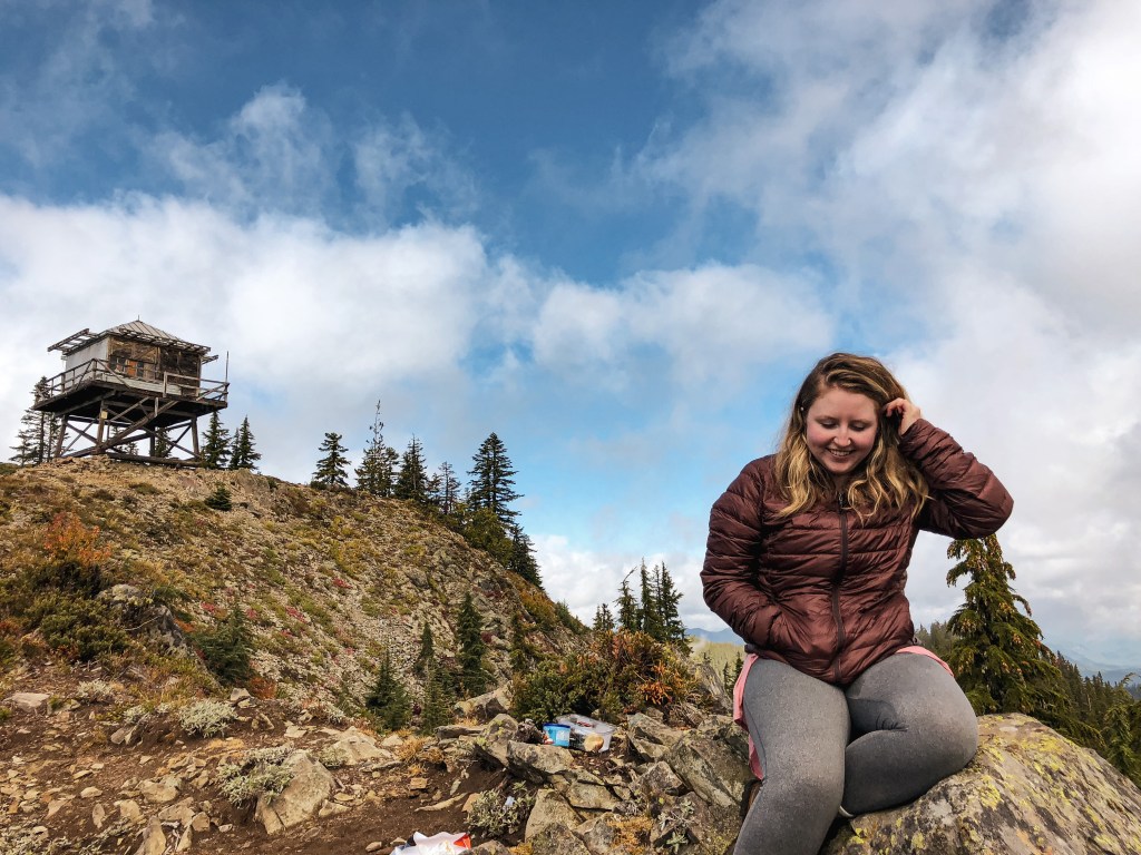
A renter, or some yayhoo, had ripped out the gate with their vehicle during the winter season. There were make shift road blocks and a sign that stated “Area Behind This Sign CLOSED to Public Entry” as replacement during our visit. The sign made us pause for a minute, but we decided to continue on since the Forest Service website noted the area as open. I assumed the sign was added to help deter any additional vandalism and disturbances to the lookout. We hoped for the best as we headed up the road. From the gate, it is a 2 mile road walk on mostly pavement with close to 1000′ in elevation gain. There’s not much of a view from the road or base of the lookout, but it is a nice walk in the woods. Once we reached the summit, all our worries about the sign were quickly squashed when Michelle greeted us. She was very friendly and immediately invited us up to check out the view. We even got to meet her very adorable dog. We talked with her for a long time about fire lookouts, the FFLA, the pros/cons of a fire lookout on the rental program, along with other interests. Based on her visitor log, we were only the fourth group up here for the season or at least that signed her book. She wondered if the sign would deter some people from visiting this year. After our visit, we had a brief lunch at the picnic table below the lookout and tried to find the crows nest on our walk back to the car. There are allegedly remnants of it remaining, but we were unsuccessful in our attempt to locate it.


Lookout Michelle
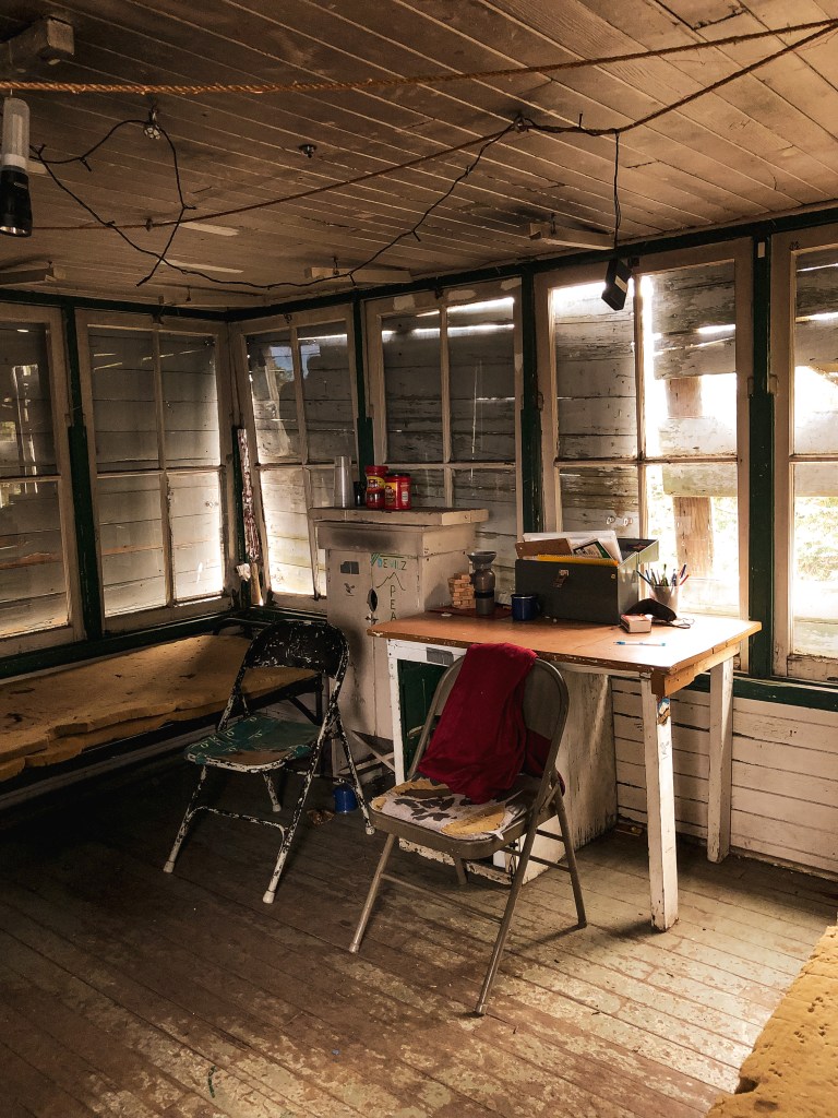
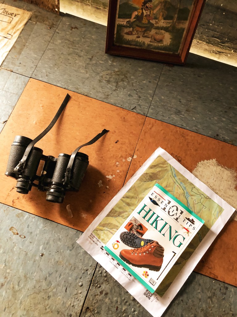
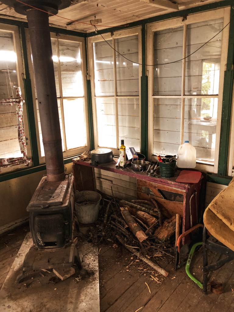
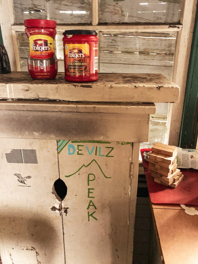
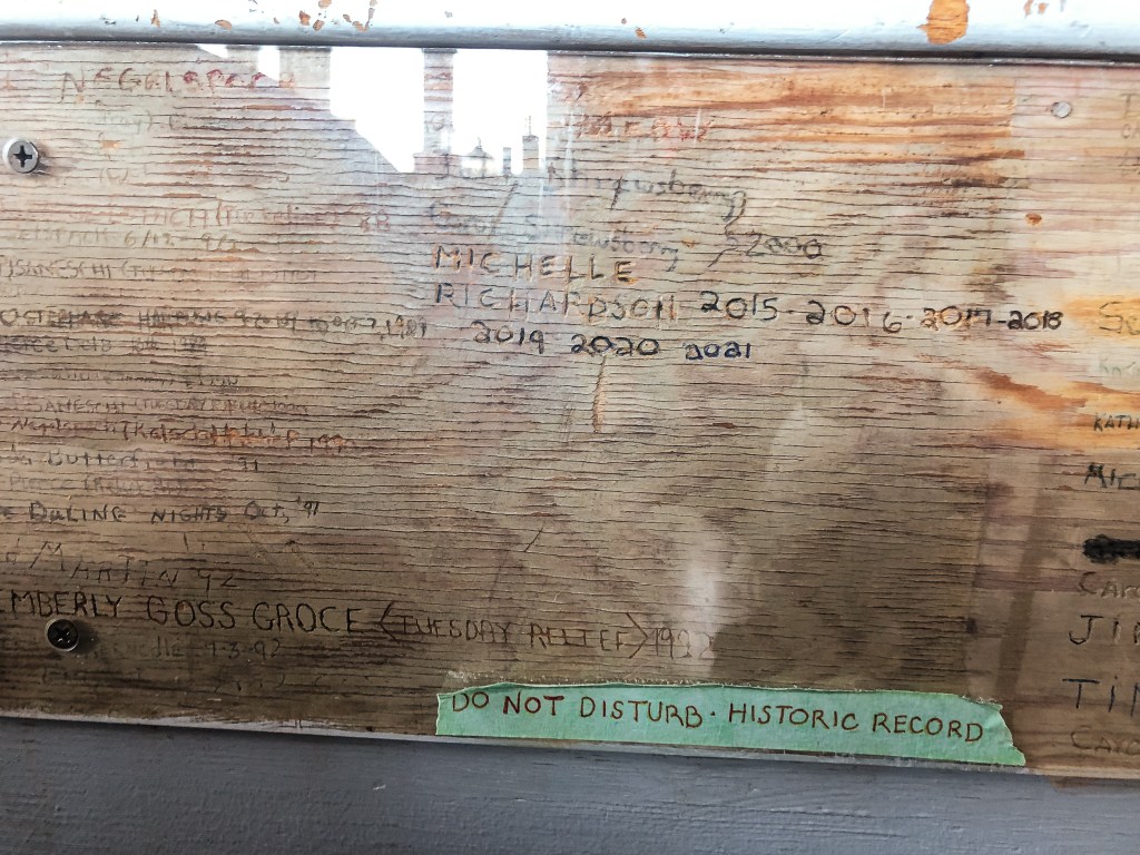
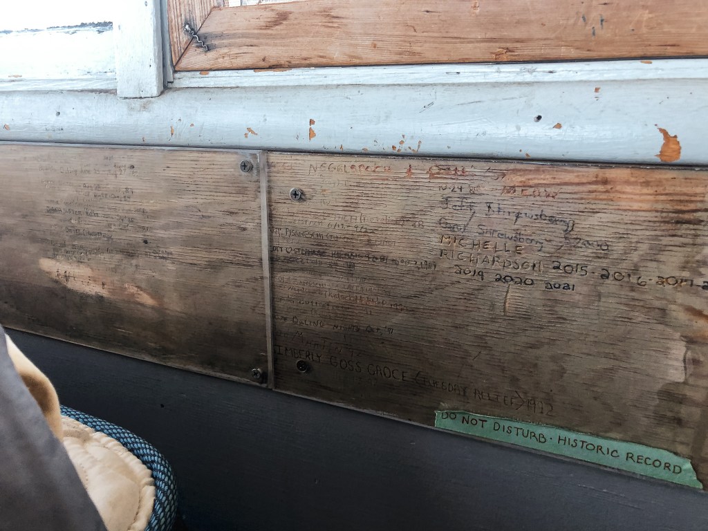
Michelle has worked on Clear Lake Butte for the last 8 seasons and the Mt Hood National Forest since 2004. She is accompanied by her sweet 13 year old rescue dog, Gidget. She can work up to 14 days straight since she doesn’t have a designated relief. She used to work in dispatch for the Forest Service and has also done work on a timber crew. She started working on fire lookouts when the primary lookout on Hickman Butte needed someone to fill in for them. Despite being in a busy area of Mt Hood NF, she only received around 84 visitors in 2021. Clear Lake Butte is currently part of the rental program which has caused problems for her during the start of season. Renters will move her stuff around, leave food/items that she has to clean up (this also attracts mice), someone stole her National Historic Lookout Register sign, and even tore out the gate to the road last season. There is even a protected board on the interior of the lookout that has been signed by everyone who has staffed it in the past. Renters will sometimes pry off the protected layer to try and crave their names with everyone else. Michelle has had to sand out a few names.
Book recommendation: Tatoosh by Martha Hardy


History.
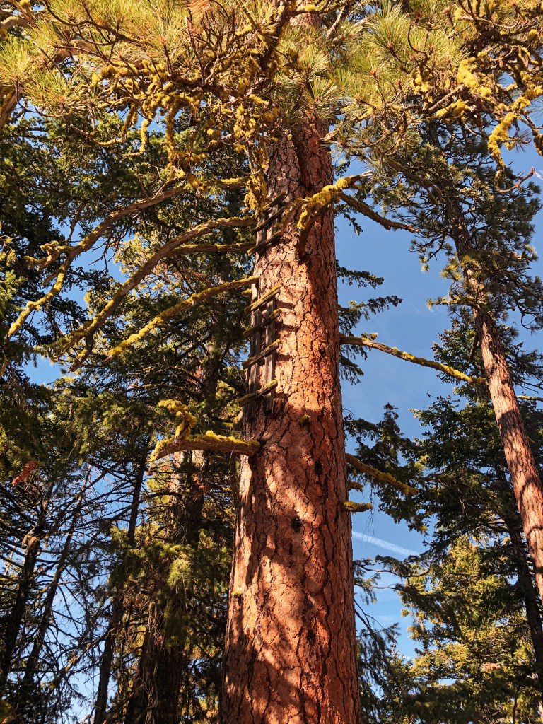
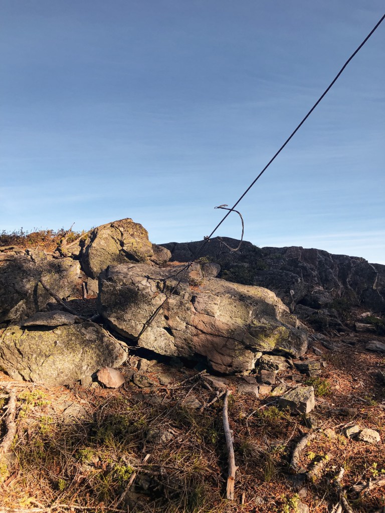
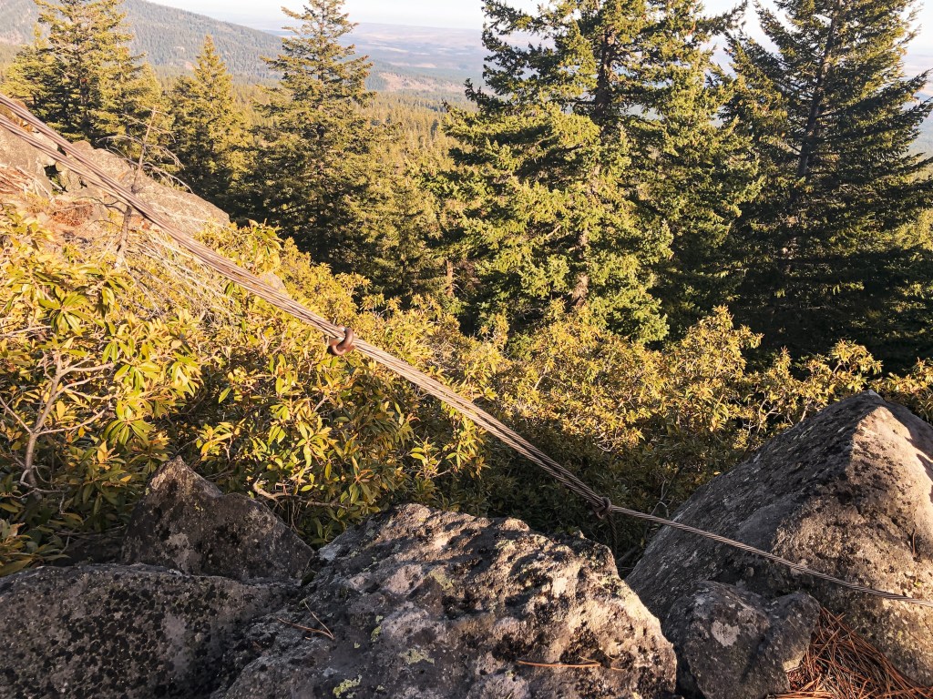
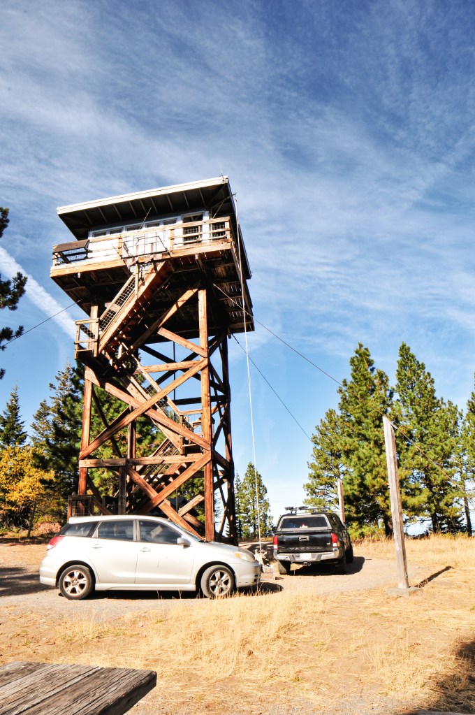
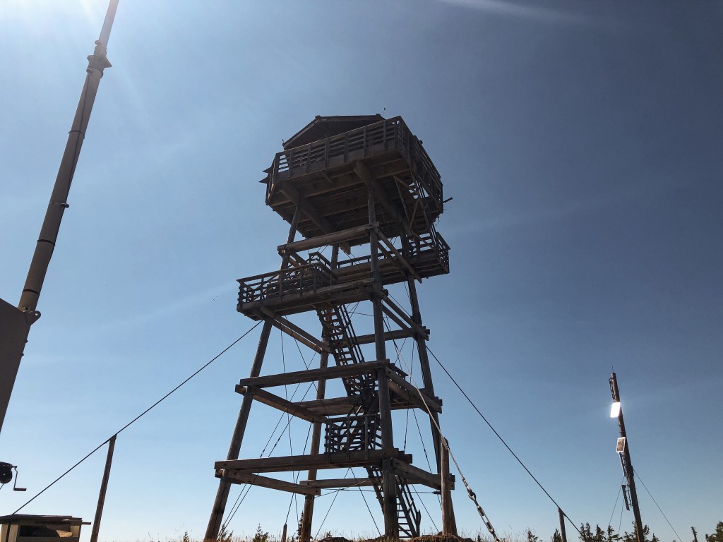
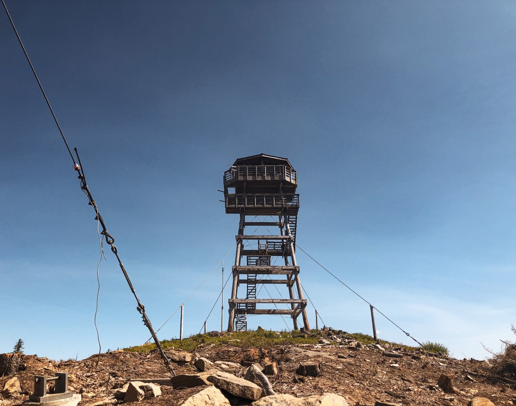
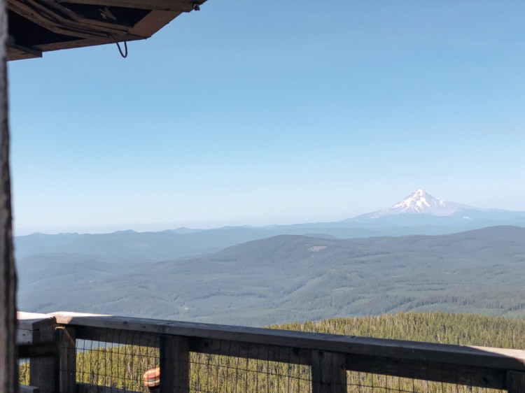
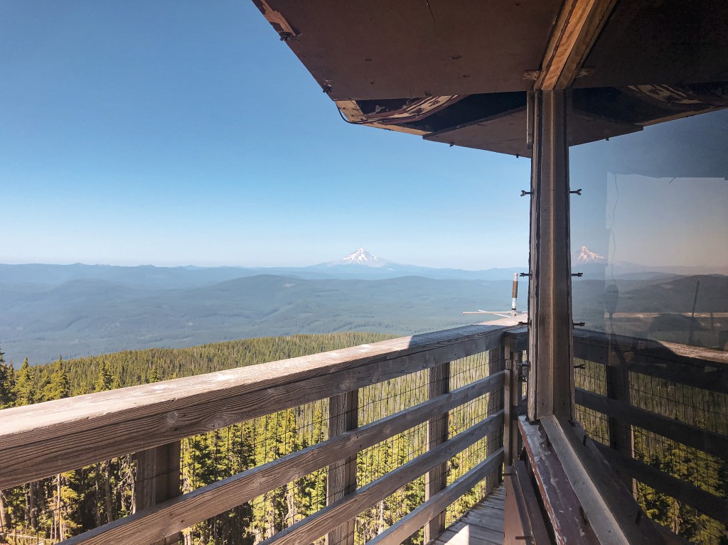
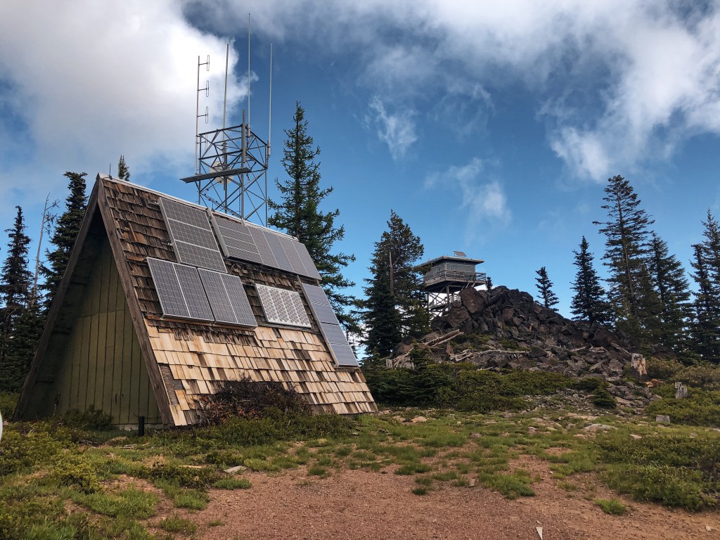
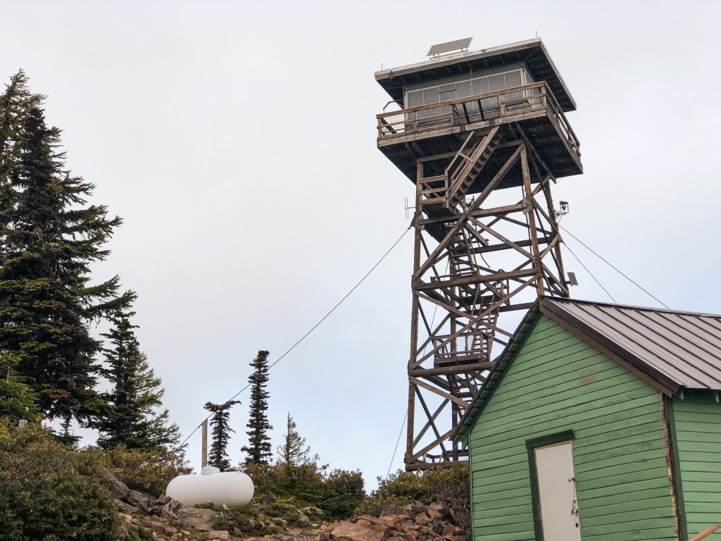
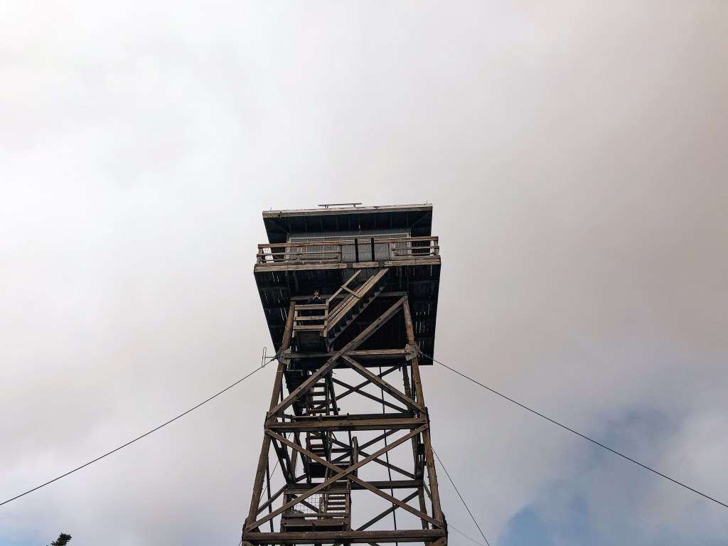
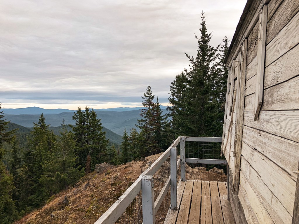
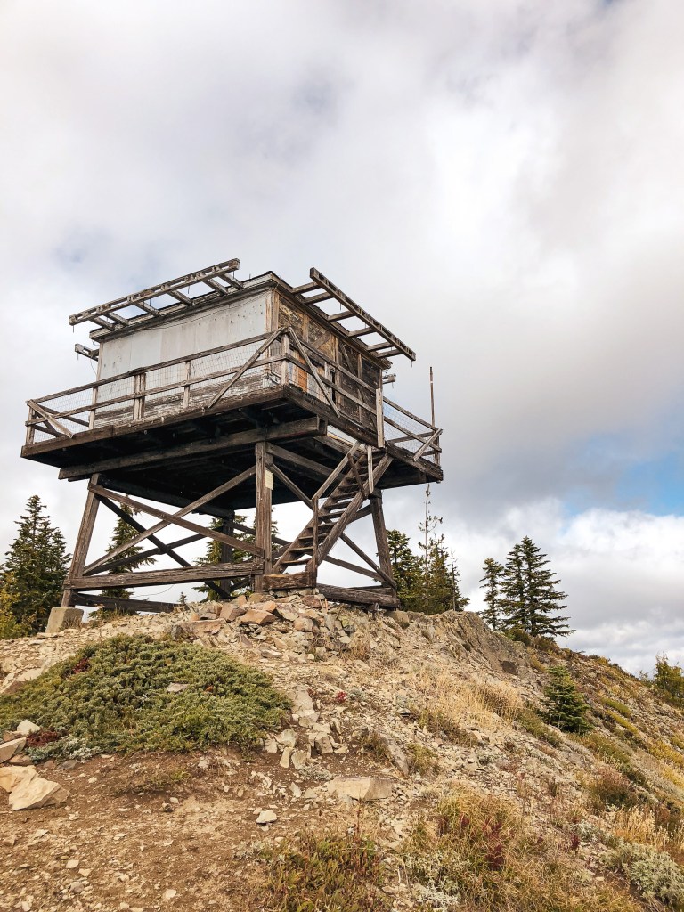
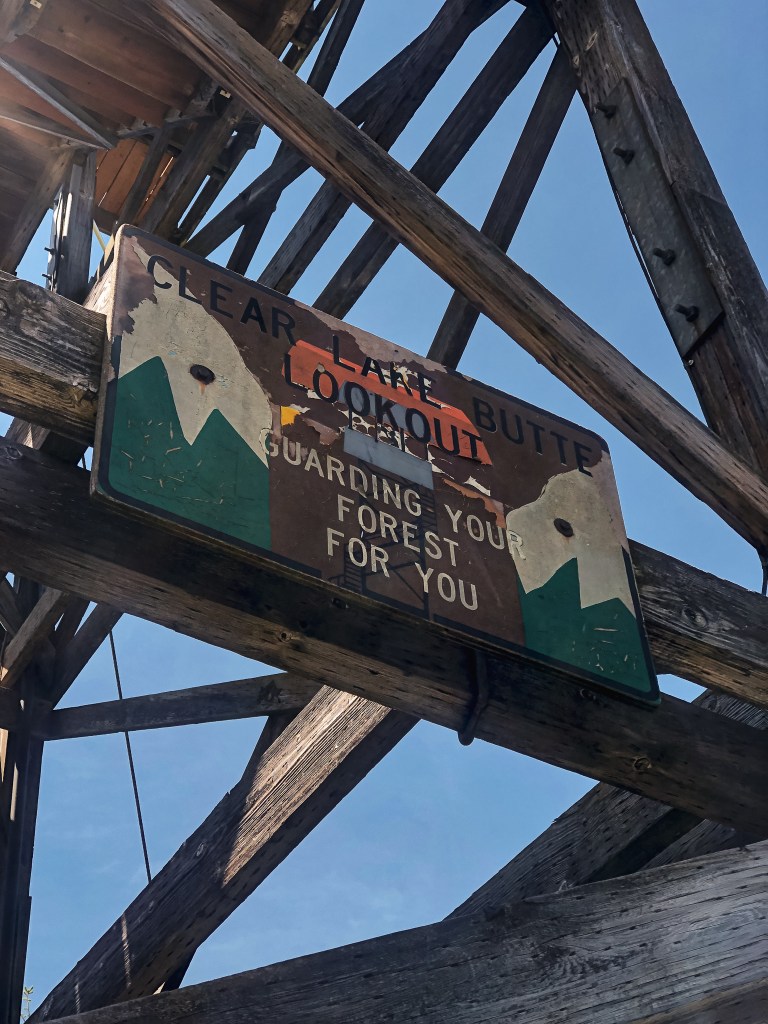
Clear Lake Butte started with a crows nest tree just southeast of the true summit. I couldn’t find any information on what year the crows nest was built though. In 1932, a ring-connected timber tower with cab was built. It stood somewhere between 100′ to 110′ tall (Every site listed it at a different height and I couldn’t find a consensus). Old pictures show a cabin at the base for living quarters. The tower looked similar to the L-6 design on Frazier Point (post). This tower was briefly used for Aircraft Warning in the early 1940s. In 1962, it was replaced with the current 41′ treated timber tower and R-6 cab. It is still actively staffed every season.
More Information.