Location.
Southwest Oregon FPA; Oregon Department of Forestry
Status.
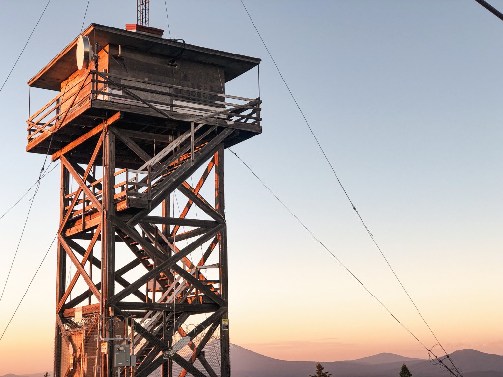
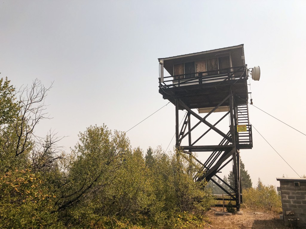
Abandoned; Currently standing
Estimated drive time from Portland, OR.
6 hours
Date visited.
June 26, 2022
Elevation.
6,113′
National Historic Lookout Register.
US 1643; OR 161
Trip Report.
Day 2/10: Lookout Road Trip 2022
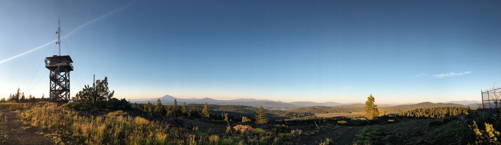
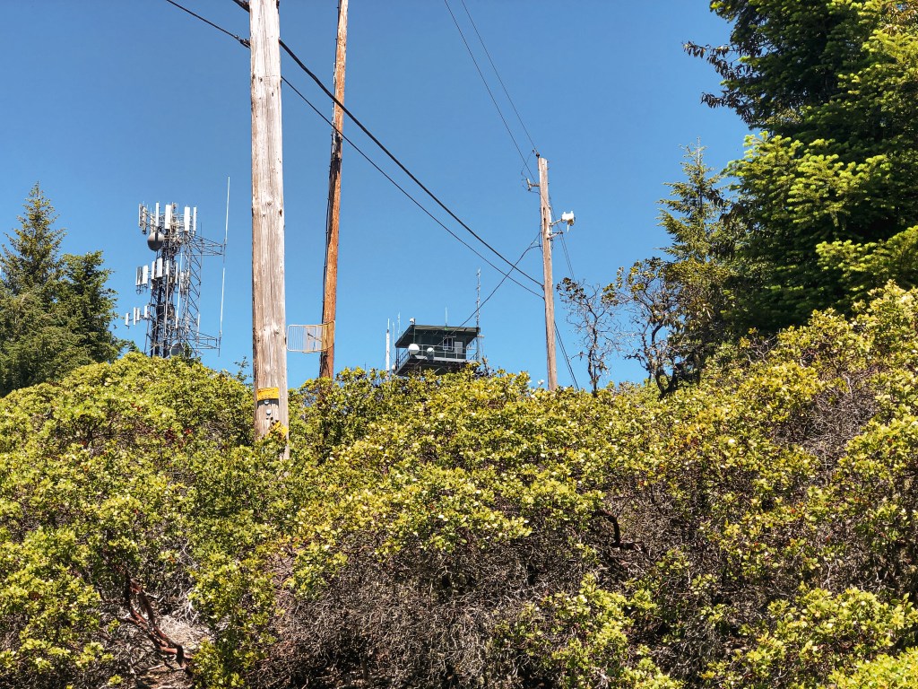
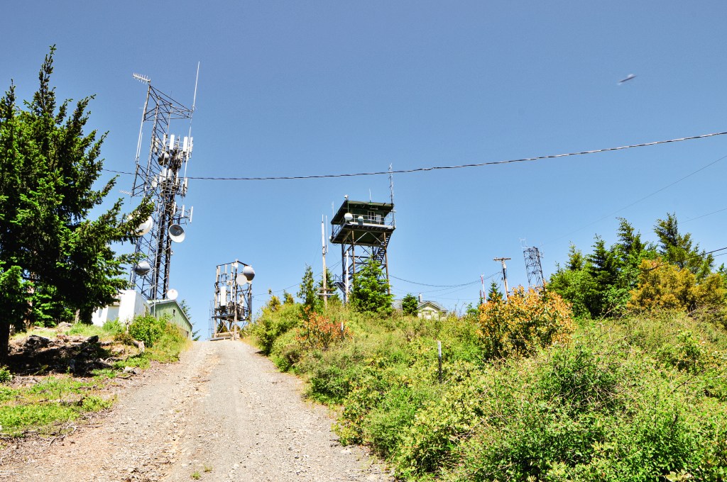
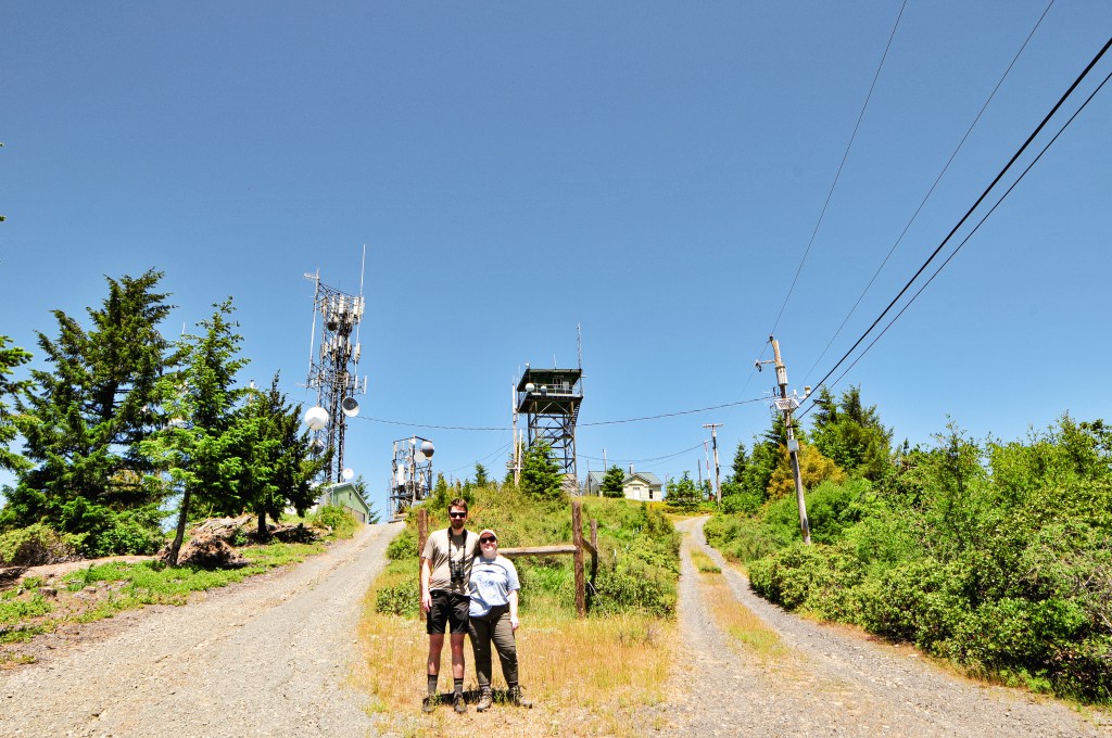
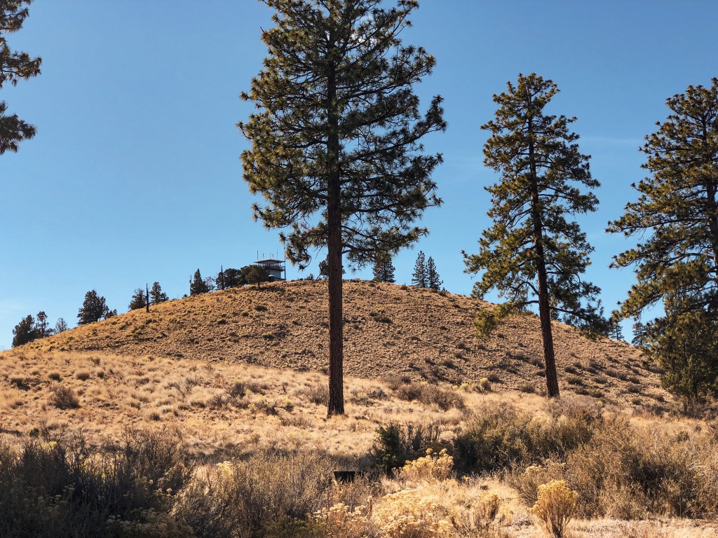
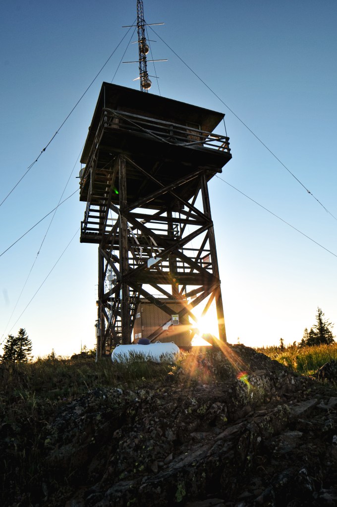
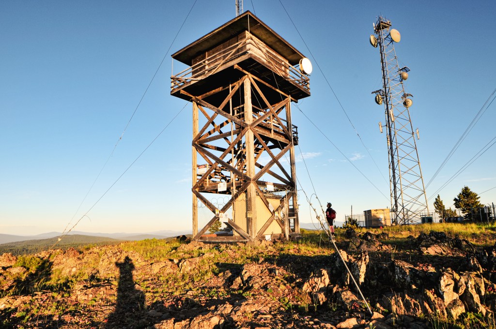
Table Mountain was a nice way to end a long day. After dinner, we headed out of camp once more to catch the sunset. We took the Hyatt Prairie Road and turned on the road towards the Table Mountain Winter Play Area. It was only 2 miles to the lookout from this junction. The road condition alternated between pavement with potholes and good gravel. We stayed on the main road until we reached a 4-way junction. None of the roads are marked but you will want to take a right. You will meet a fork in the road shortly after this junction, stay right again. We decided to park here and walk the remaining distance since there is a gate. There is also a pull out just before the gate that offers parking for a couple cars.


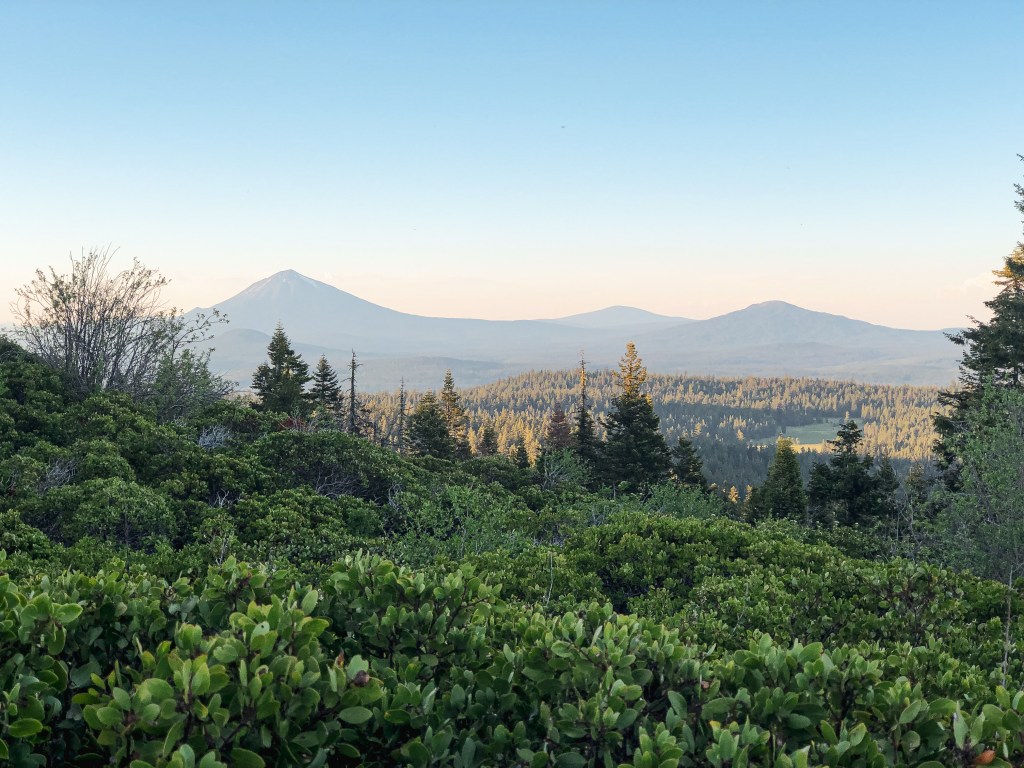
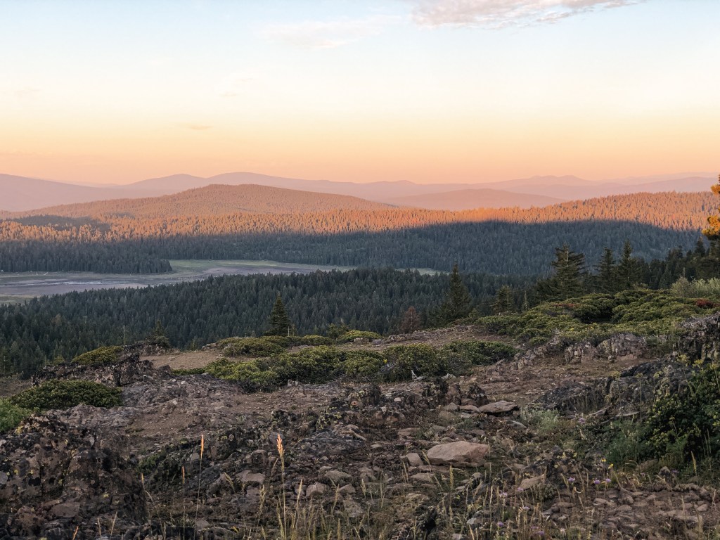
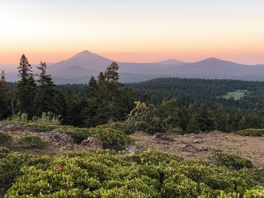
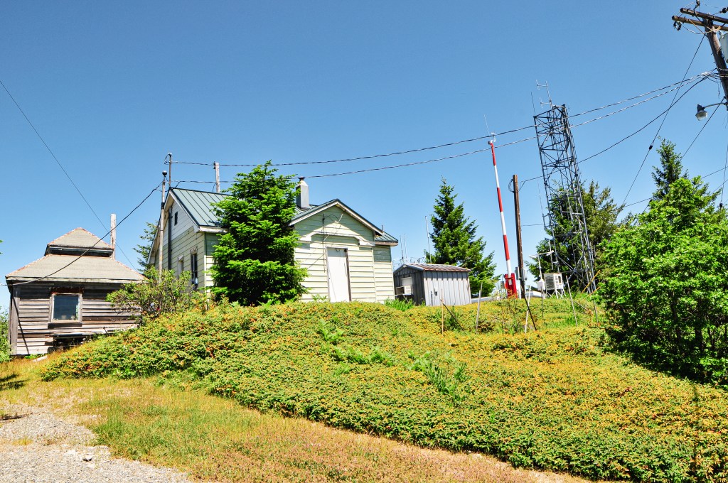
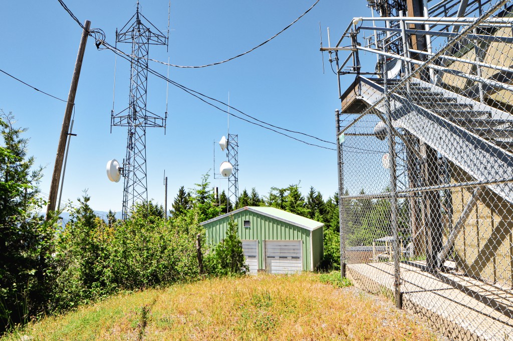
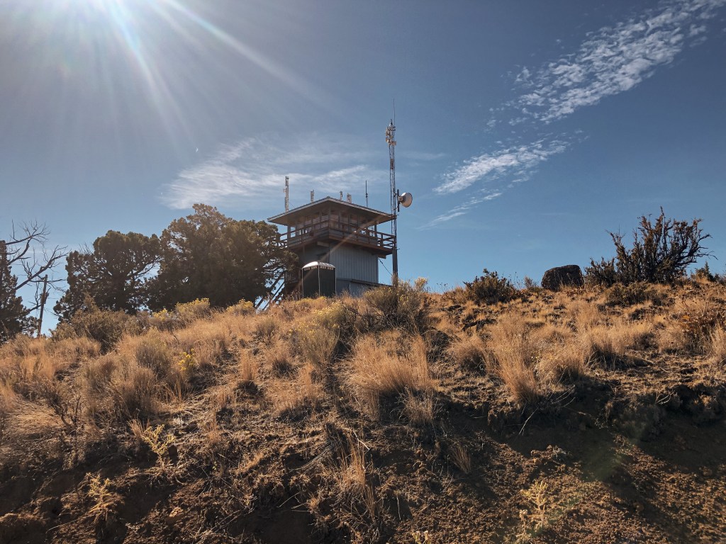
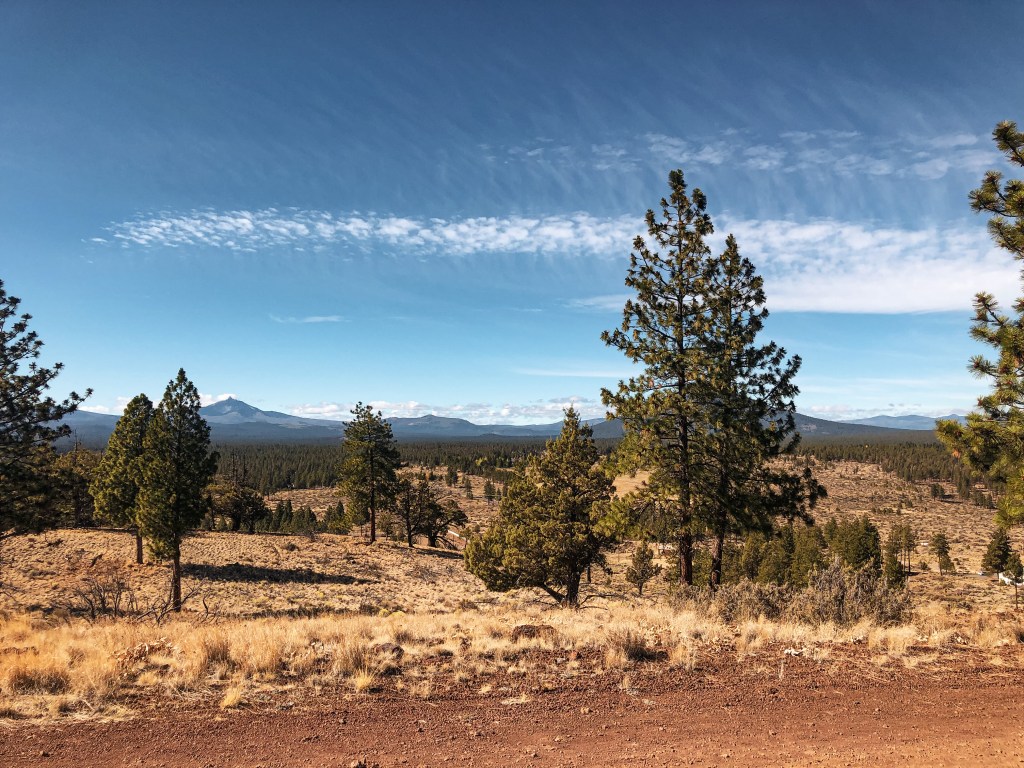
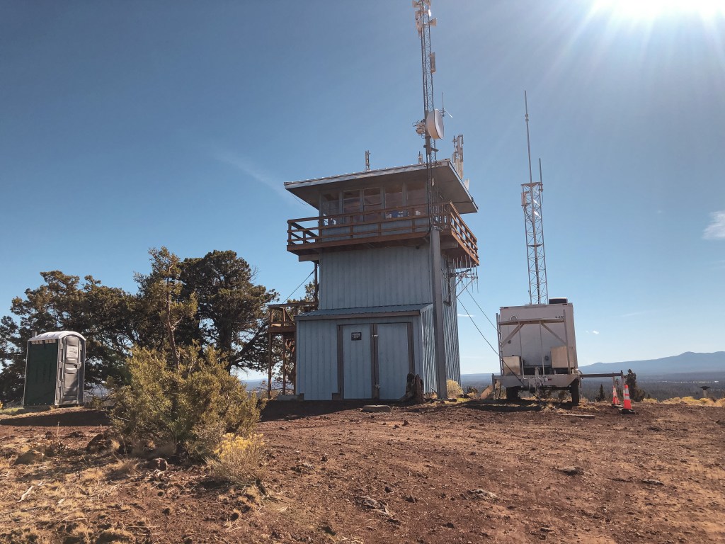
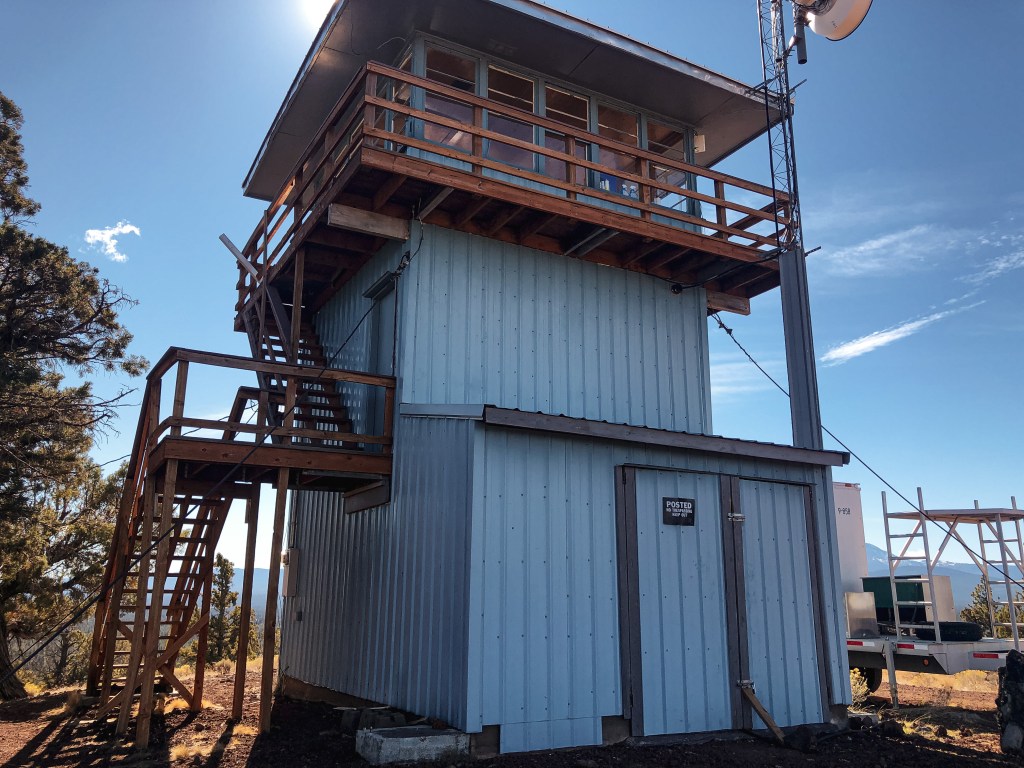
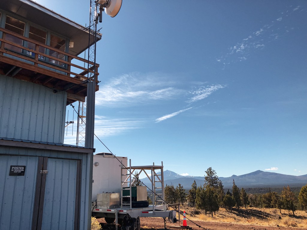
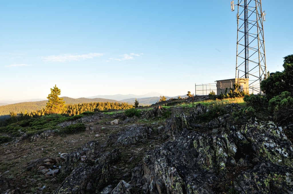
The evening temperatures had dropped significantly from the 90+ degree day and made the short walk up very pleasant. This summit does have quite a few communication towers on it, but was surprisingly pretty. The tower is blocked off to visitors by a barbed wire gate. We were still able to spot Robinson Butte (post), Parker Mountain (post), Chase Mountain (post), and Soda Mountain (post) from the base. Robinson Butte (post) looked like David with Goliath Mt McLoughlin looming over it. We stayed on the summit for as long as possible watching the colors change from warm yellows to different shades of pinks and purples. We wanted to stay longer, but driving back in the dark didn’t sound appealing to either of us. We were also moving camps for the first time this trip and needed to prep for a longer drive day.


History.
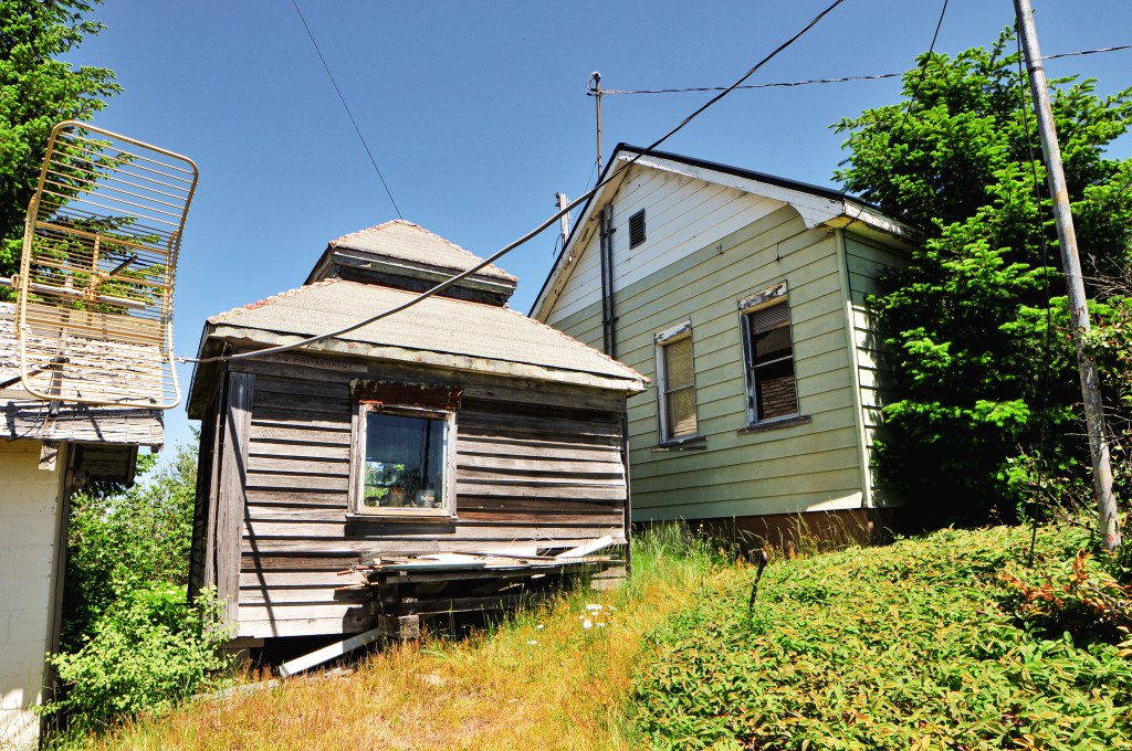
A 30′ pole tower with live-in cab was built on Table Mountain in 1931 by what was then known as the Crater National Forest. The Moon Prairie CCC camp added a garage and wood shed in 1933. It was replaced in 1958 with a 30′ treated timber tower and ODF-style cab. I believe it was decommissioned in the mid-1960s given that the garage was torn down and burned in 1963. The last noted use was in 1975 when it was staffed while Parker (post) and Chase Mountain (post)were being remodeled.