Location.
Bureau of Land Management; Douglas FPA
Status.
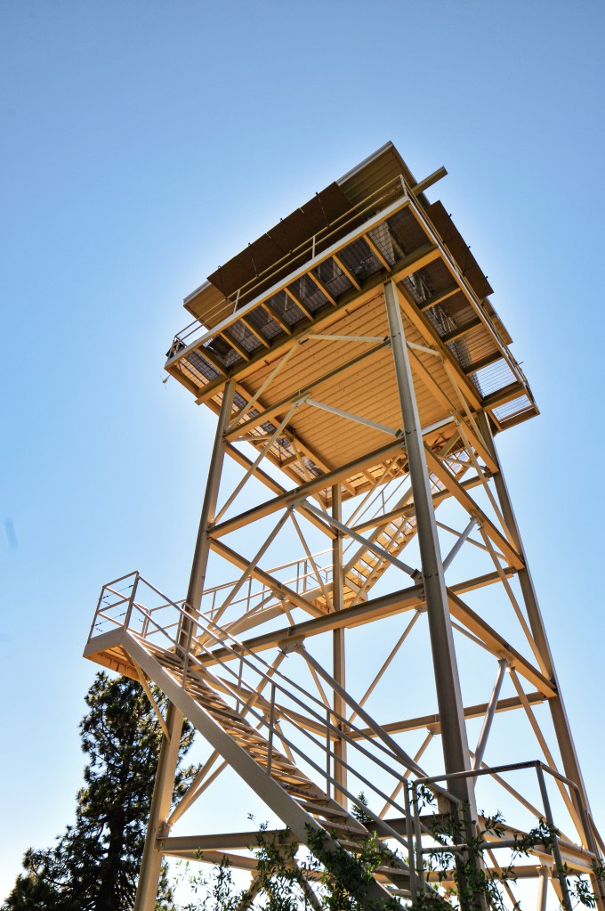
Abandoned; Currently standing
Estimated drive time from Portland, OR.
4 hours
Date visited.
May 10, 2024
Elevation.
2,696′
National Historic Lookout Register.
US 481; OR 74
Trip Report.
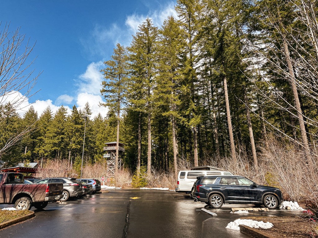
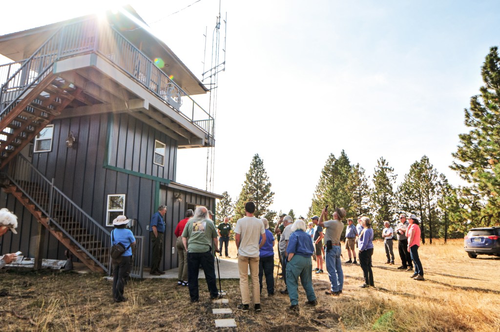
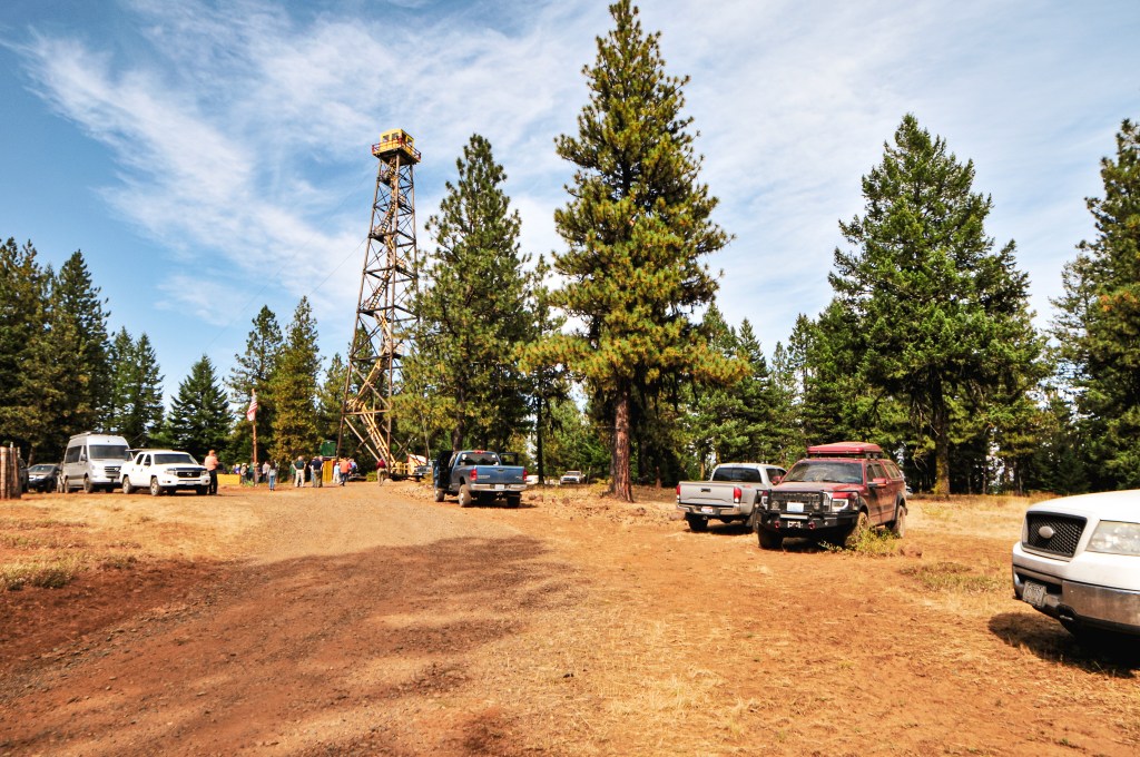
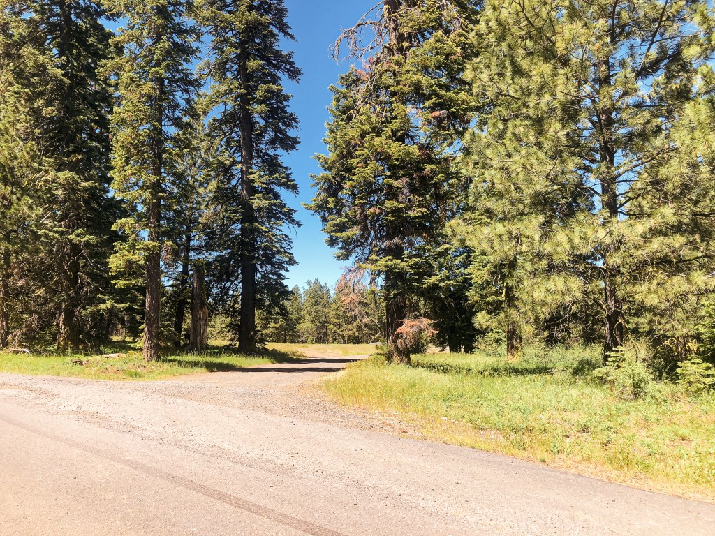
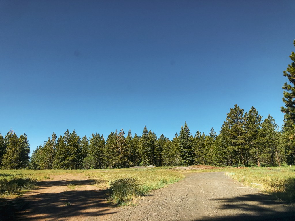
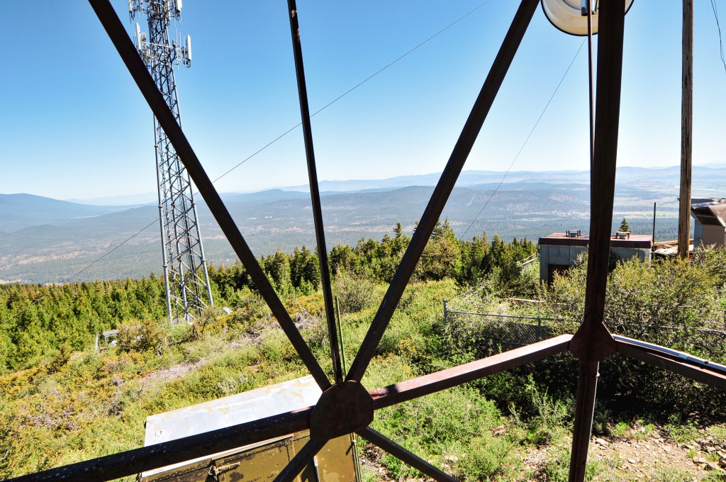
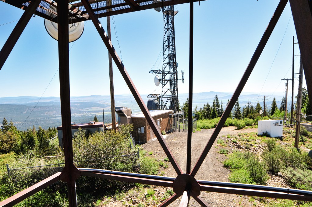
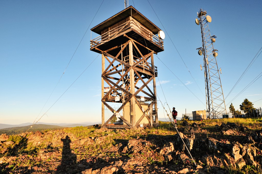
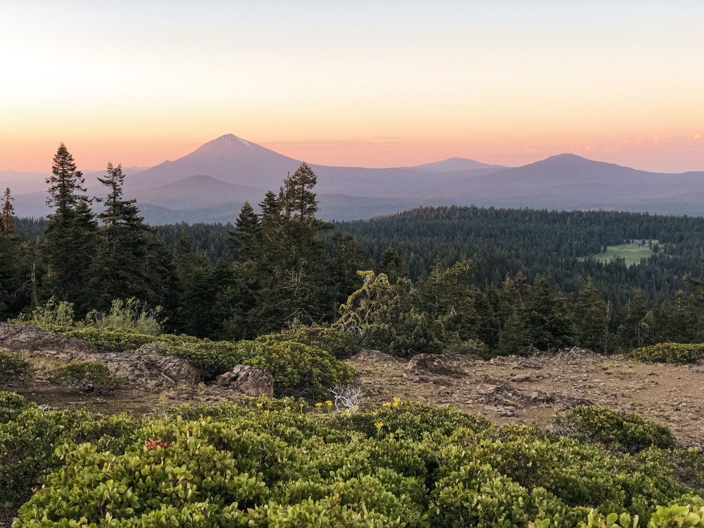
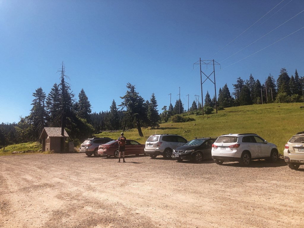
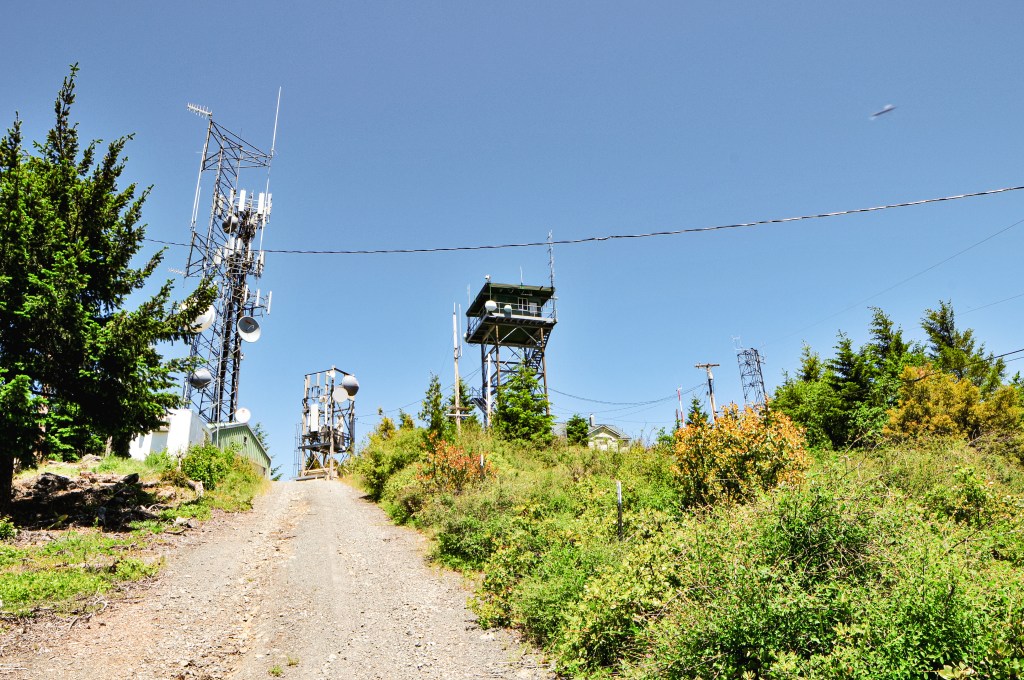
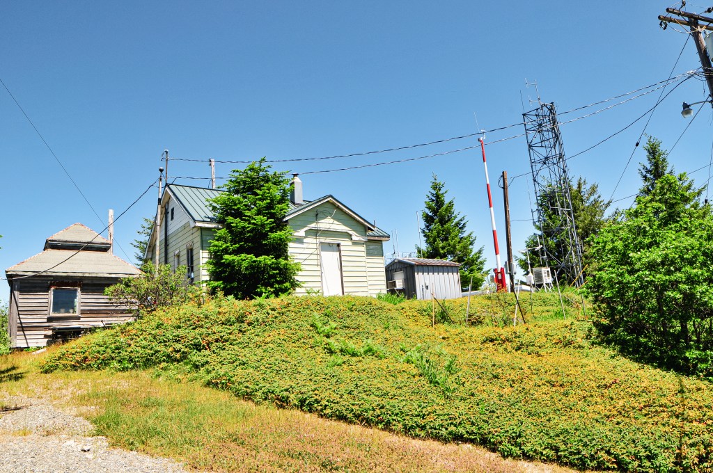
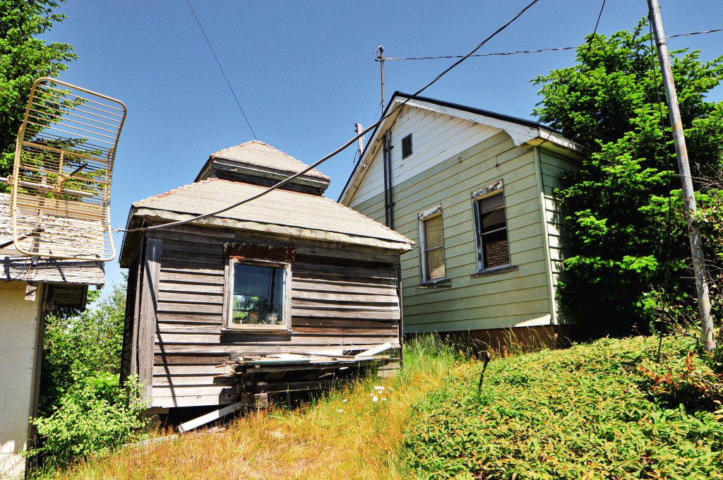
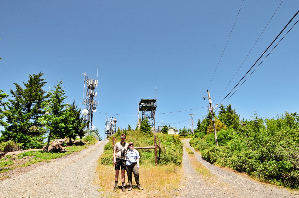
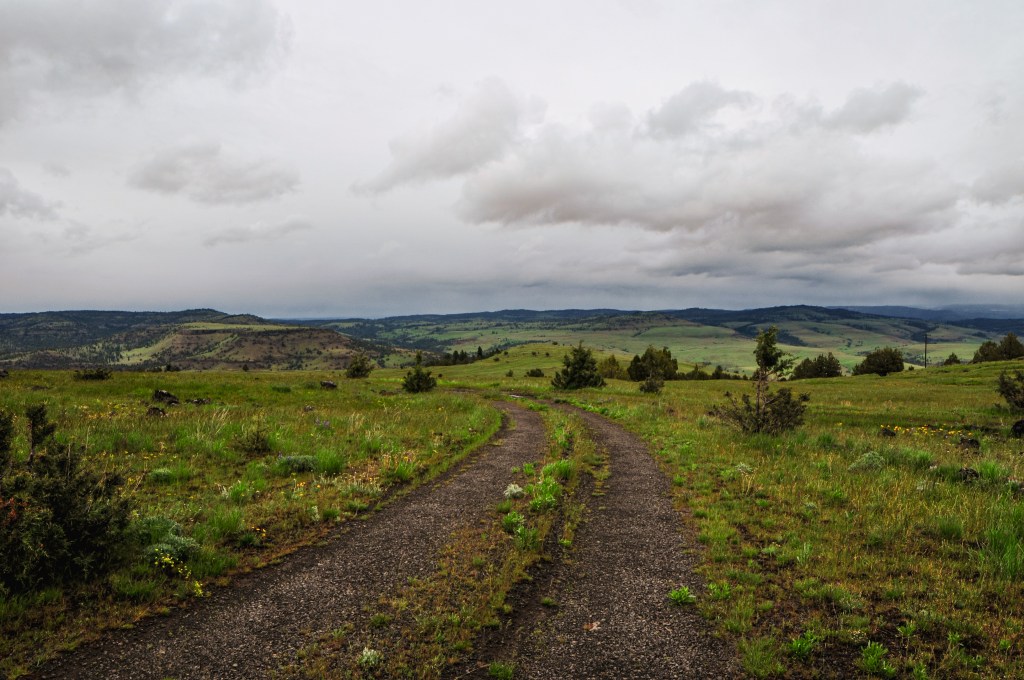
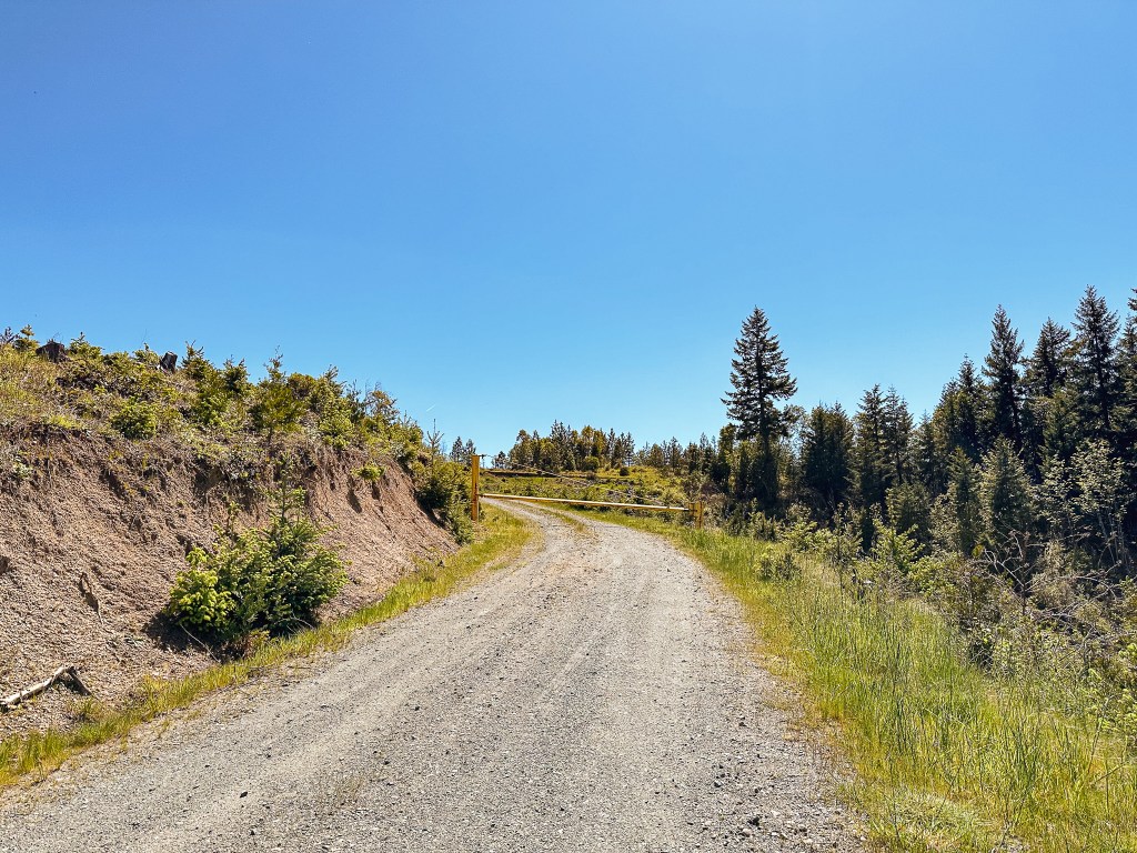
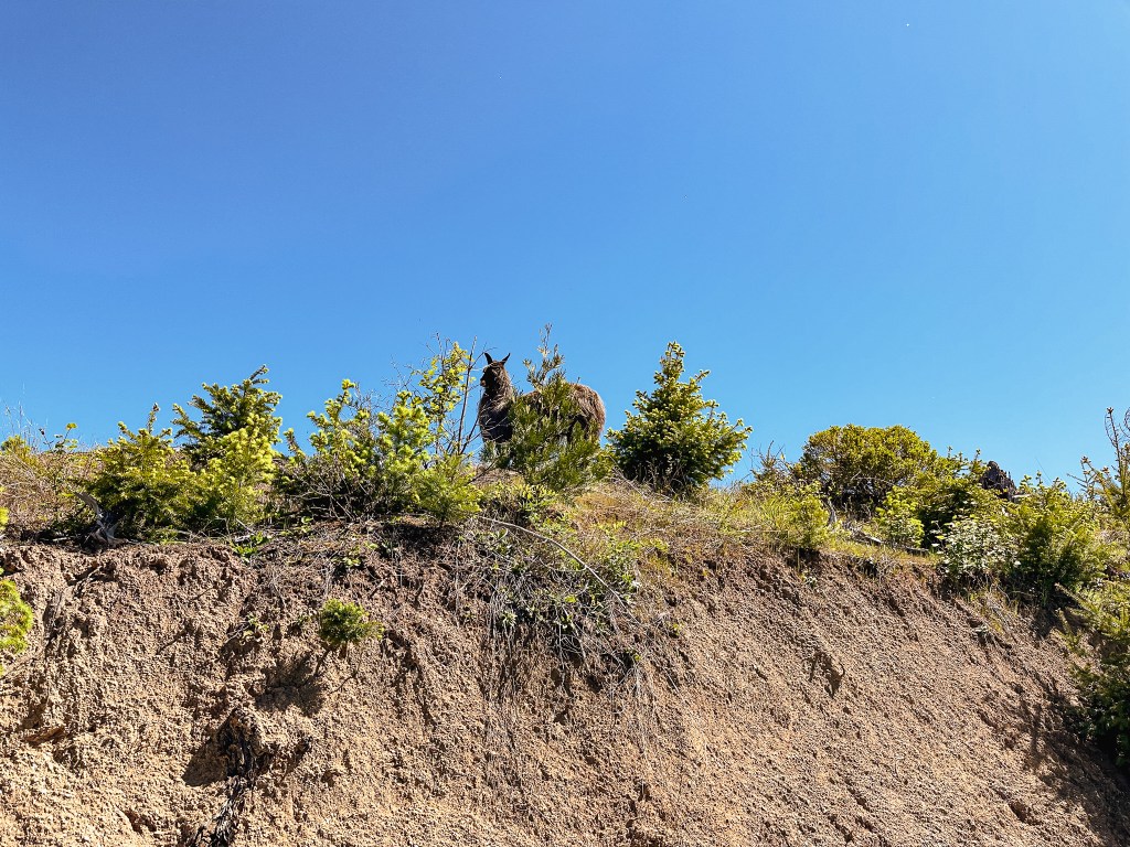
We were headed out on a four day trip to explore the South Umpqua drainage in celebration of Garnet’s 30th birthday. I had booked Pickett Butte for two nights and we planned to disperse camp for the third night. Bland Mountain was planned as our first stop before heading into the forest for the weekend. It is located just outside of the community of Days Creek on BLM land. From Portland, we shot down I-5 all the way to Canyonville and turned onto county HWY-1 to head towards Tiller. We followed this to Days Creek where we hung a left onto Days Creek Road. The road is located right off the bend entering the community. We were following the directions off a Peakbagger report from Dennis Poulin. He seems to have a lot of helpful reports on Peakbagger in relation to accessing fire lookouts. I always click on his reports first when I see his name listed. Unfortunately, we saw somewhere that he had passed away (may he rest in peace). His directions indicated that the BLM road 30-4-10 was only 2 miles down Days Creek Road. This was helpful since most of the roads off of Days Creek are private drives. There was a sign for the BLM road, but it would have been impossible to spot from the main road due to it being turned around and slightly leaning in the brush. It’s easy enough to locate if you keep an eye out for a main gravel road off to the right around the two mile marker. Once on the BLM road 30-4-10 its a little under 2-1/2 miles to the gate for Bland Mountain. There was one junction that wasn’t mentioned on the directions after we entered a clear cut and had a view of the fire lookout ahead. The road we were on looked to continue straight but there was another road veering right that looked like it could have headed toward the summit as well. We stayed left (straight) since it wasn’t mentioned. The next junction we met off to the right was on a bend in the road and was the one we took to reach the gate. The gate is shortly after you start up this road and doesn’t offer much room to turn around. I’d recommend parking below and hiking up from there if you’re not comfortable making a tight turn around or backing down the road. We parked at the gate and prepared to walk the remaining distance. As I was turning around the car I noticed an animal off to the left. This might be one of the strangest things I’ve seen in a while, but it was a llama free range grazing near the gate. I can only assume it was owned by someone in the area, but there was no one else around that we could see.


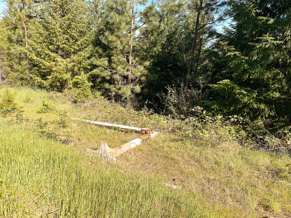
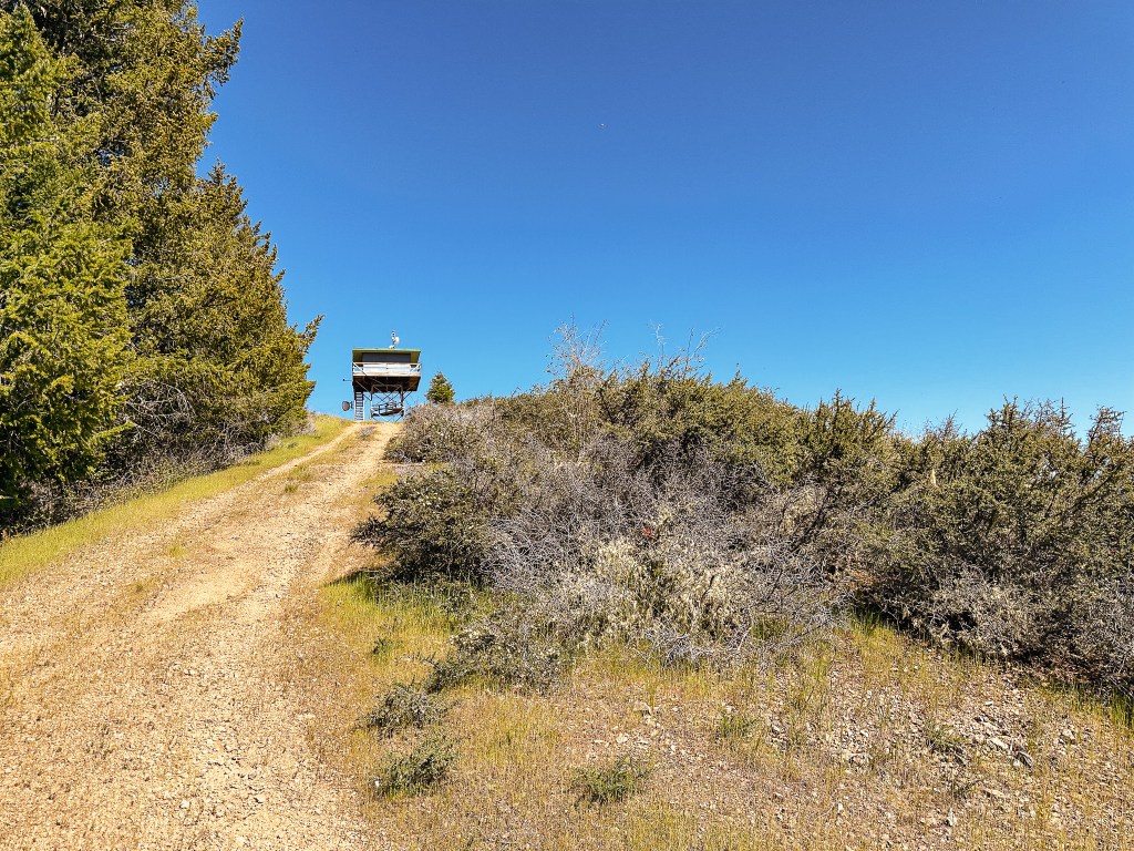

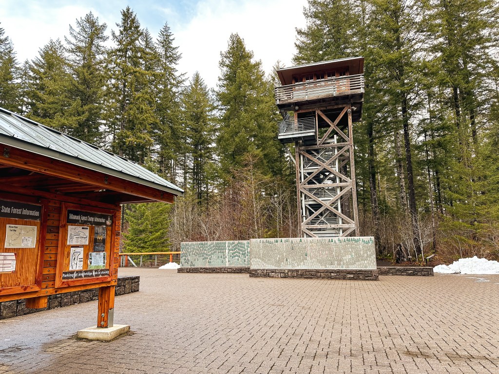
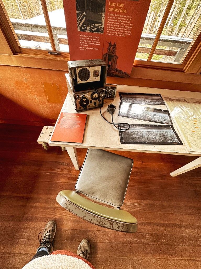
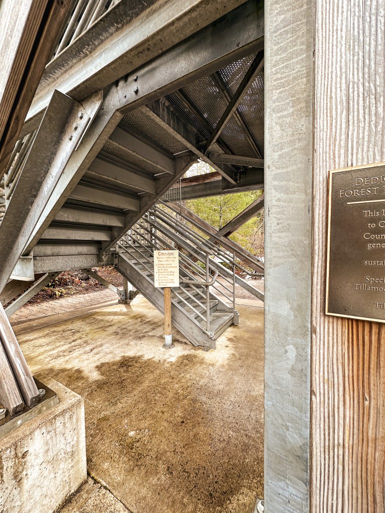
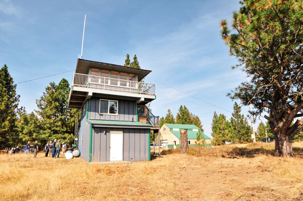
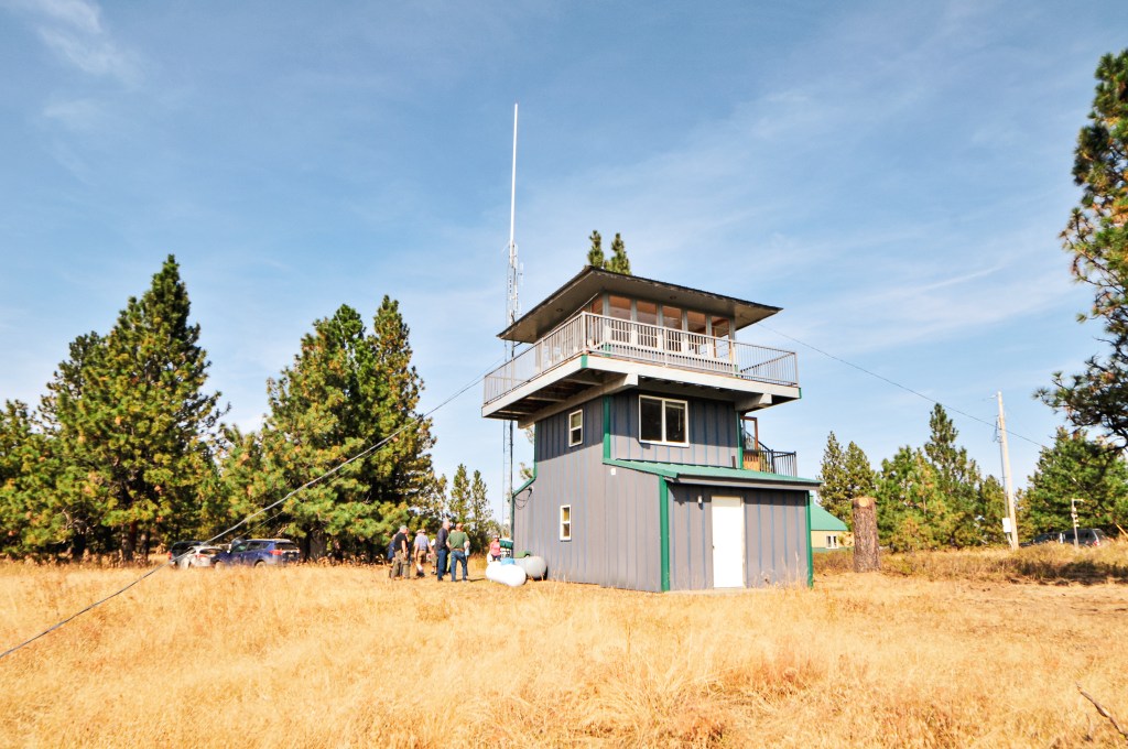
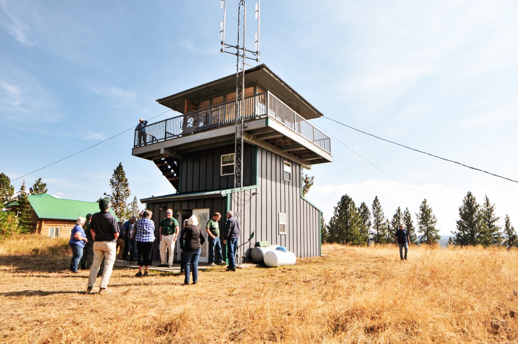
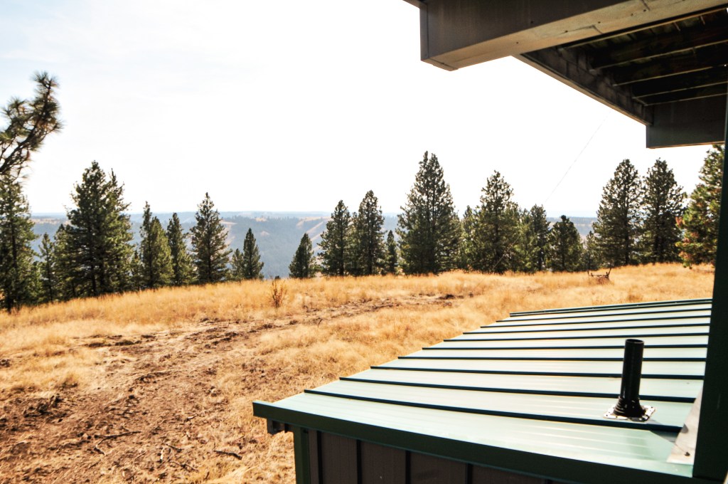
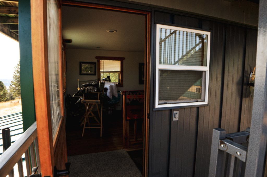
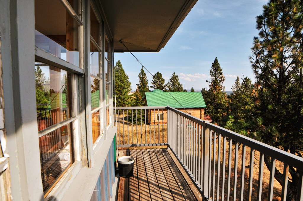
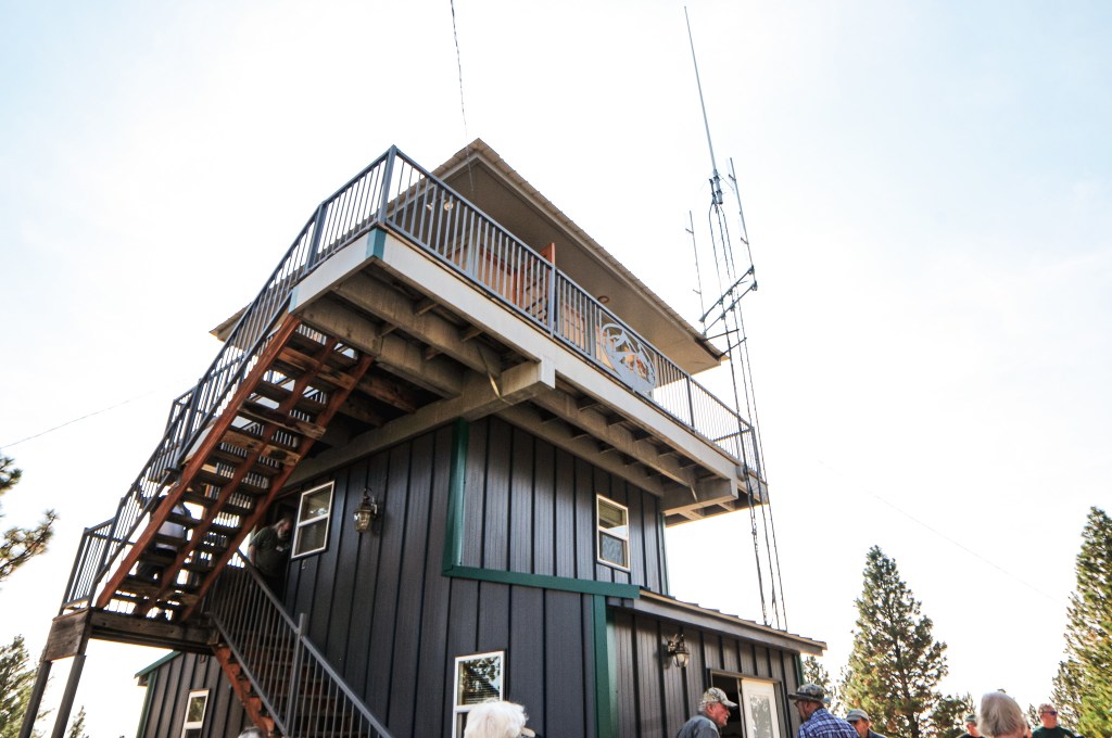
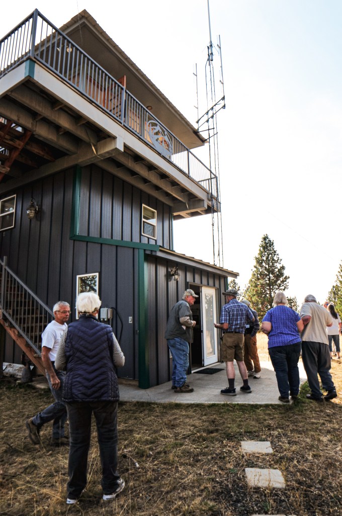
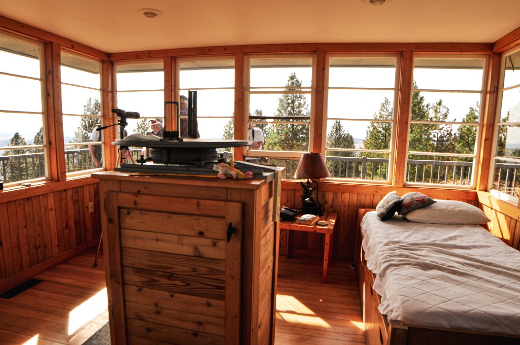
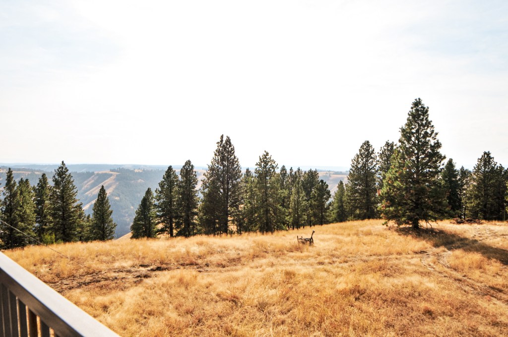
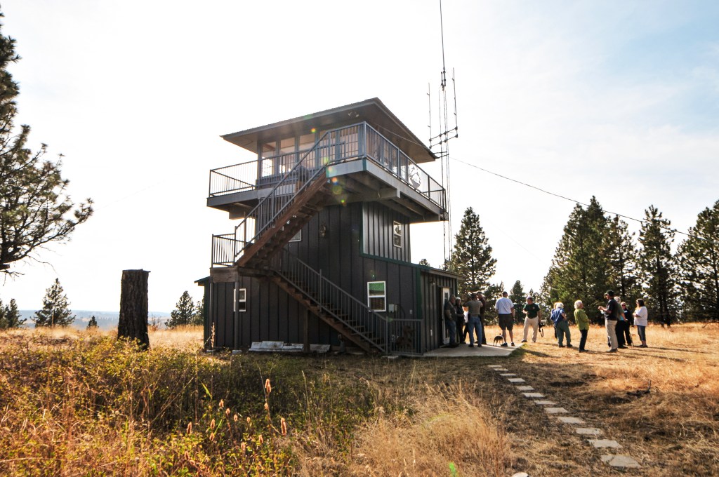
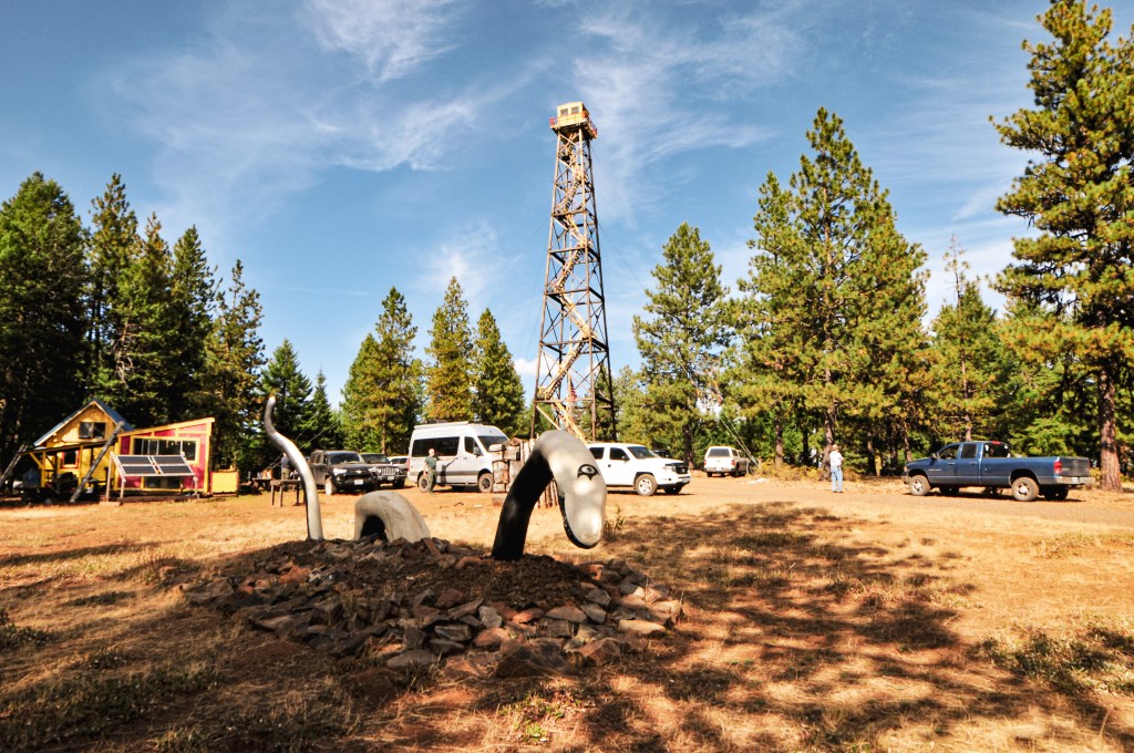
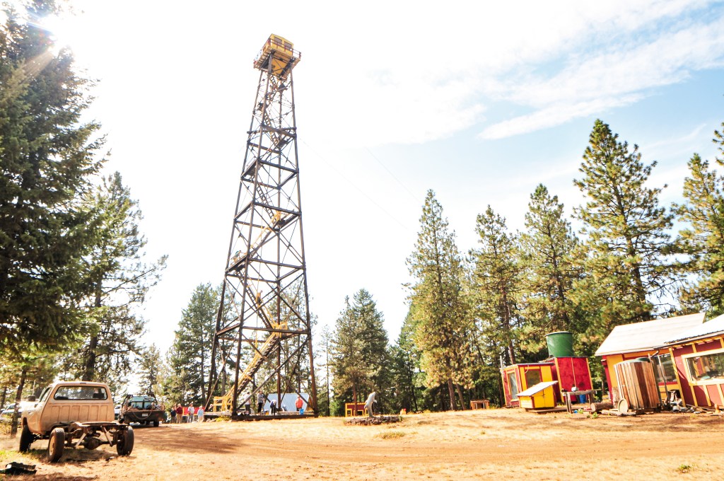
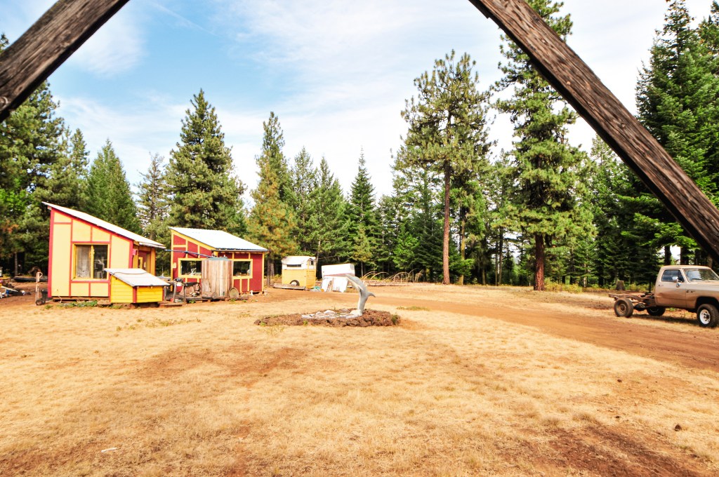
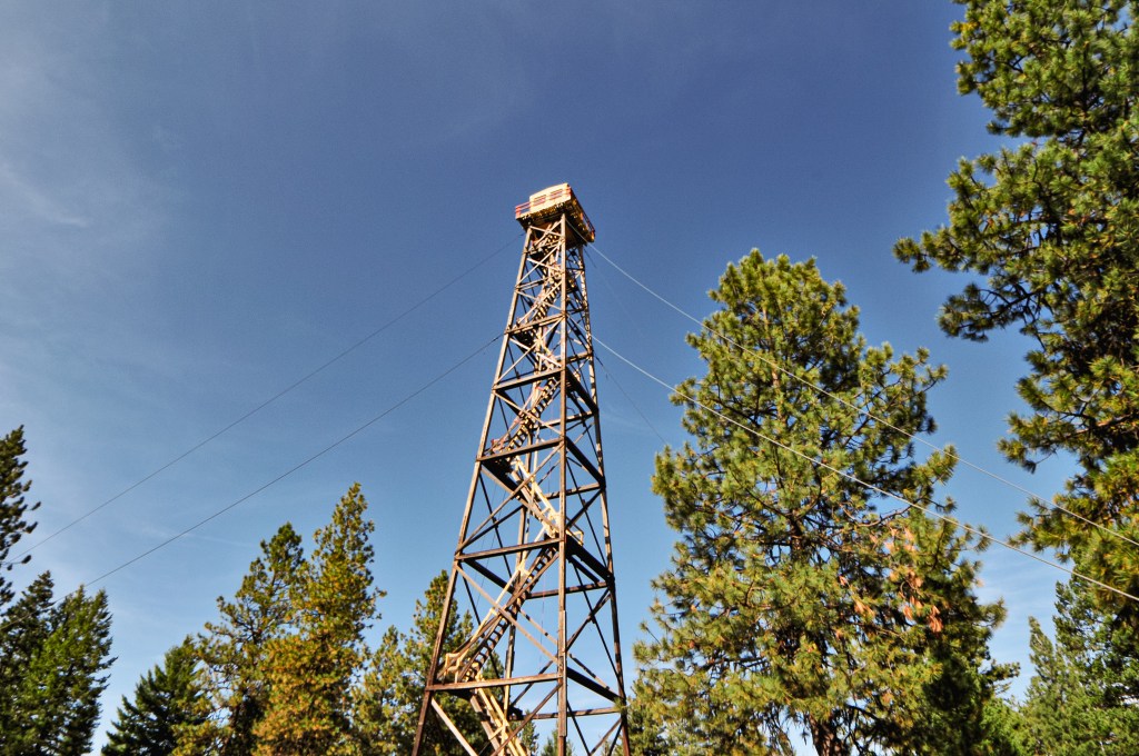
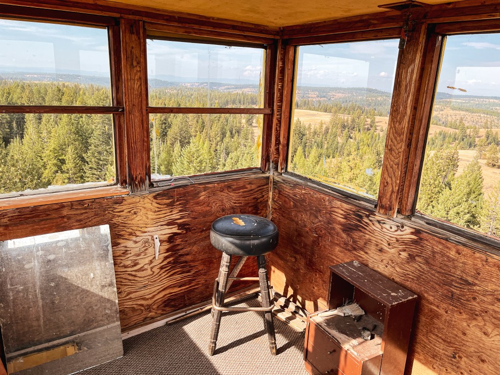
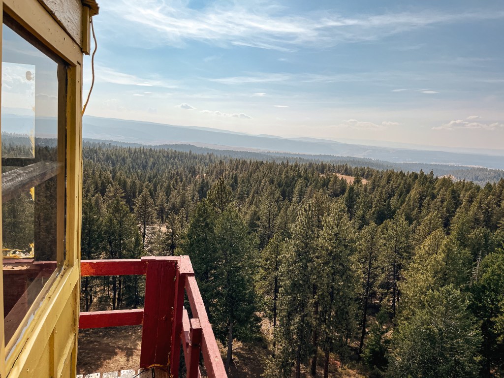
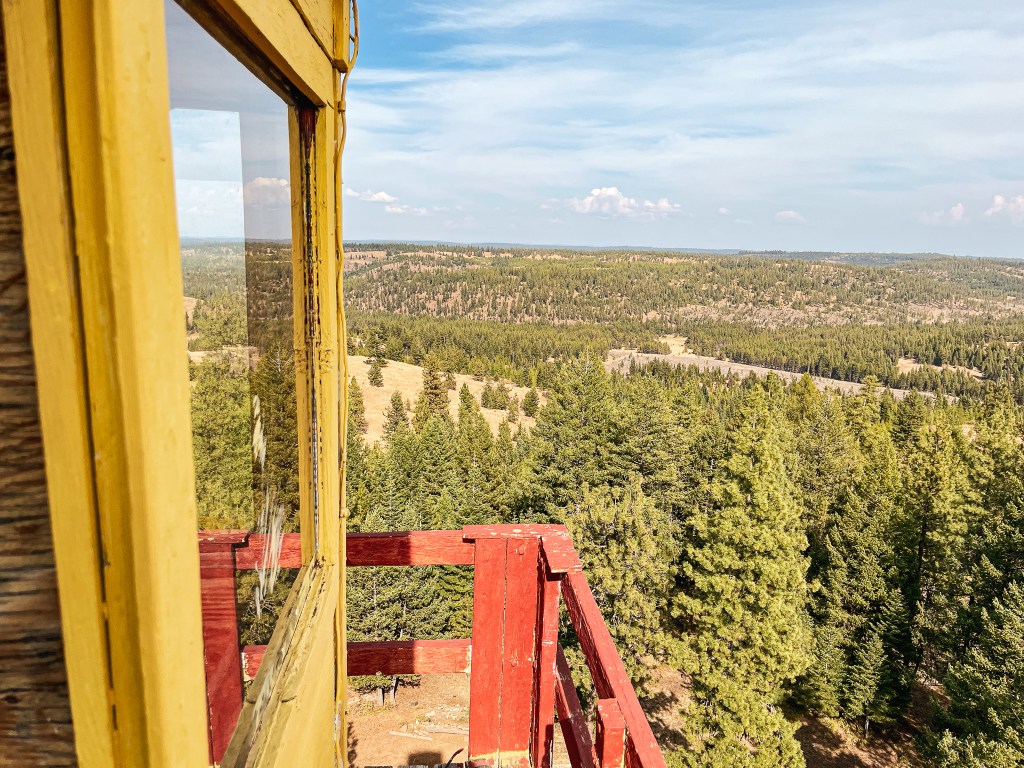
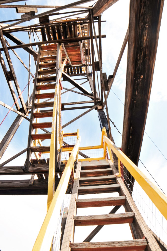
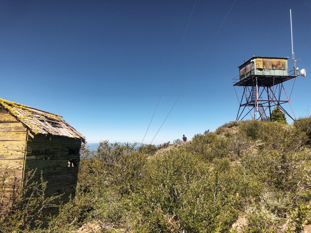
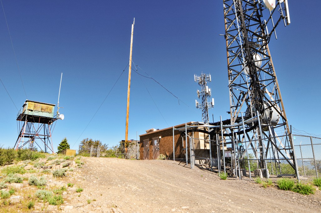
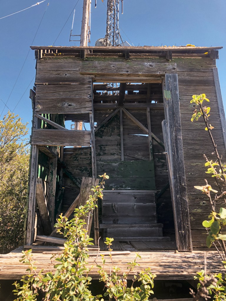
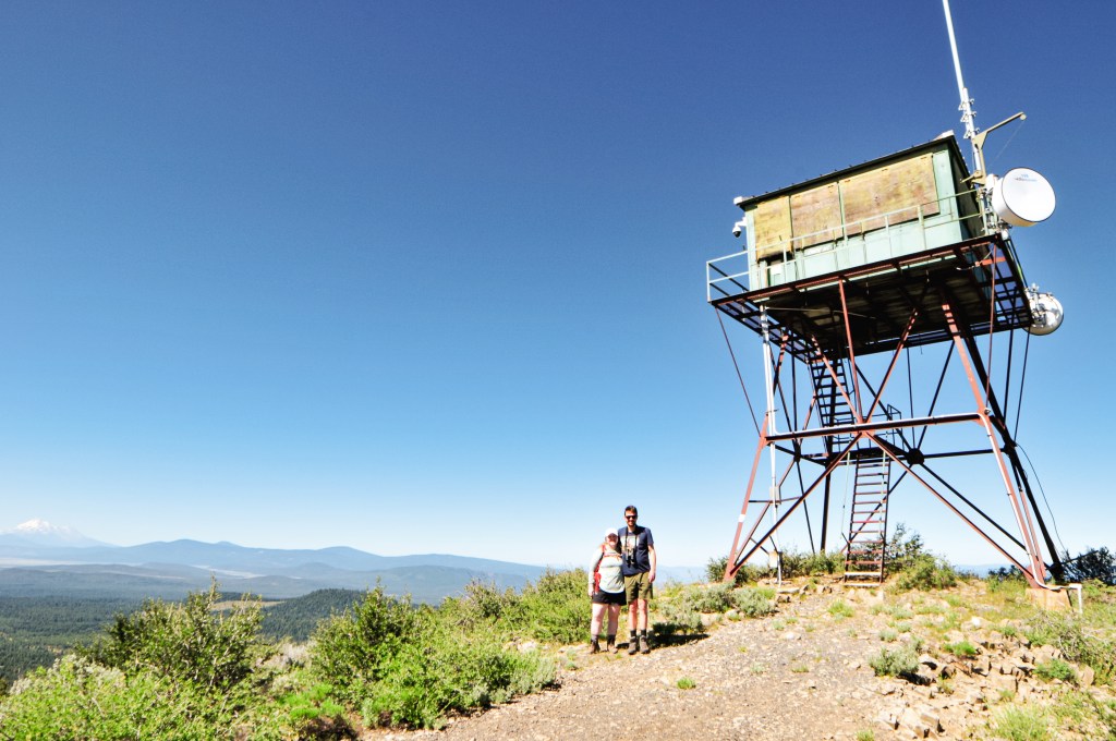
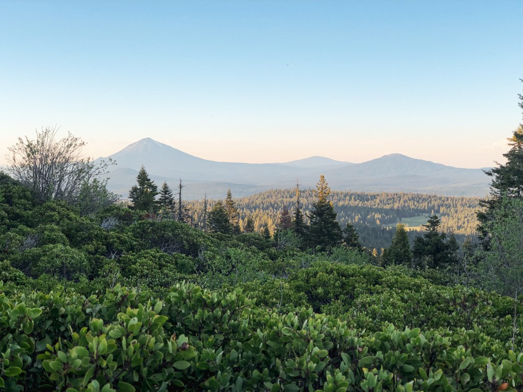
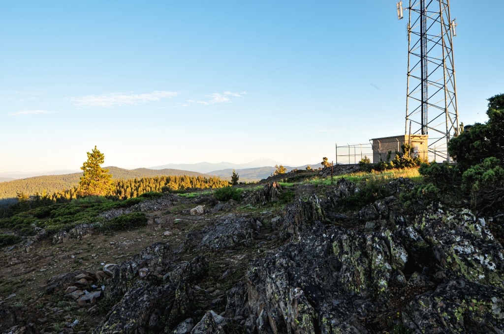
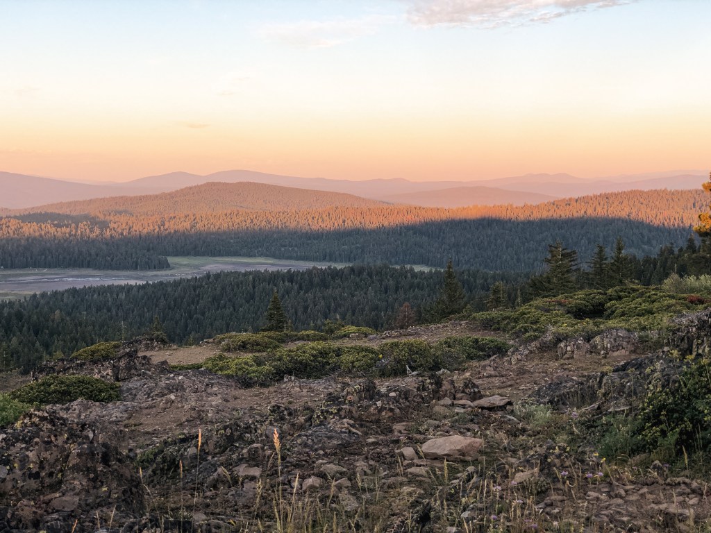
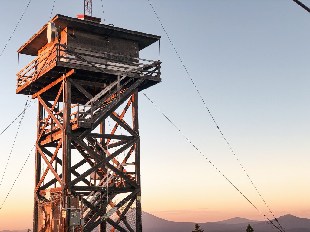
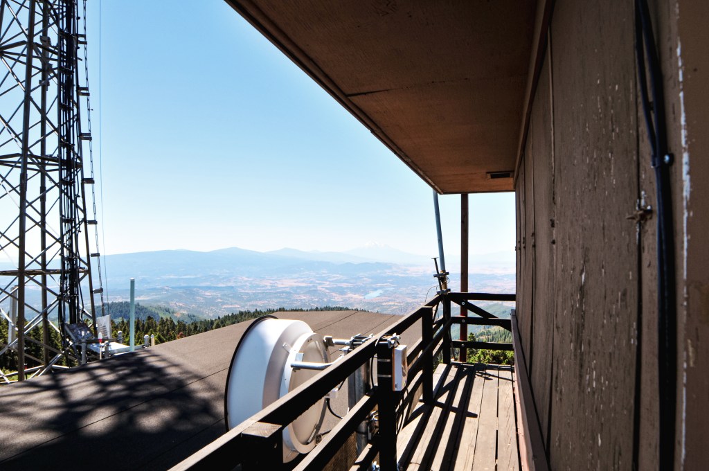
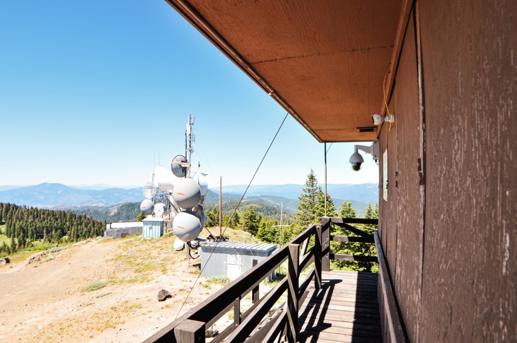
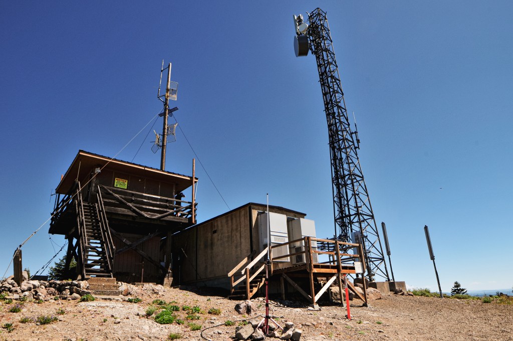
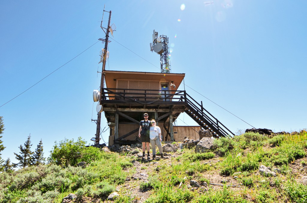
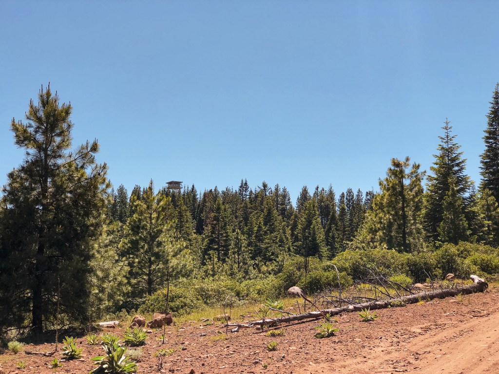
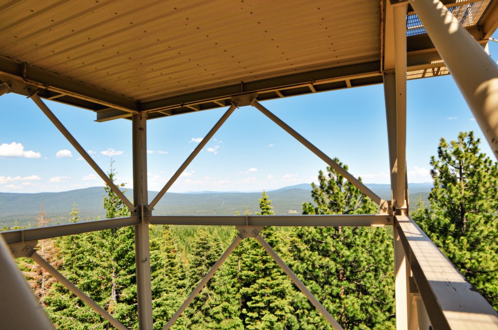
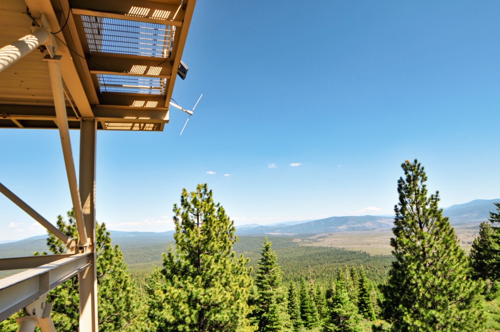
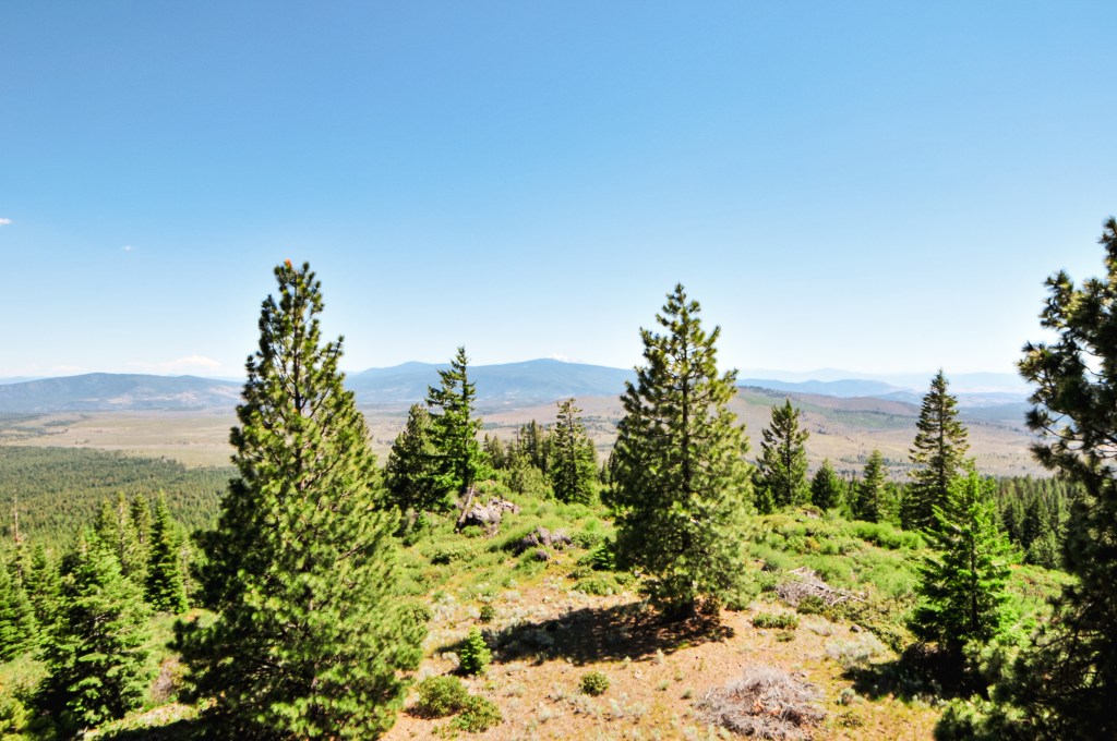
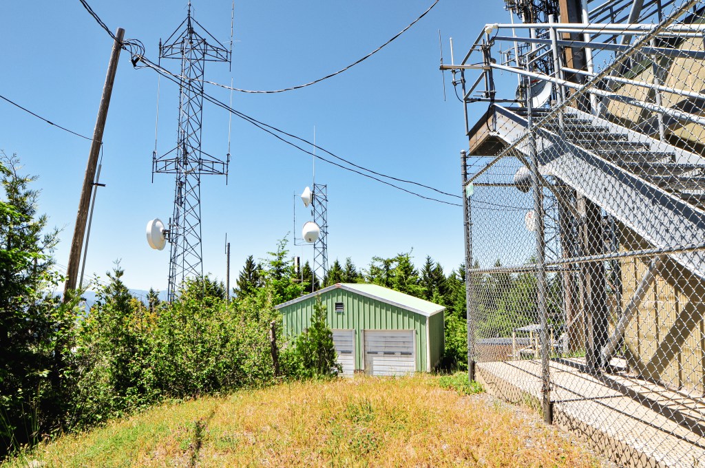
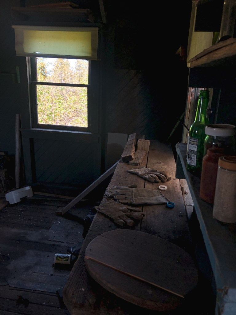
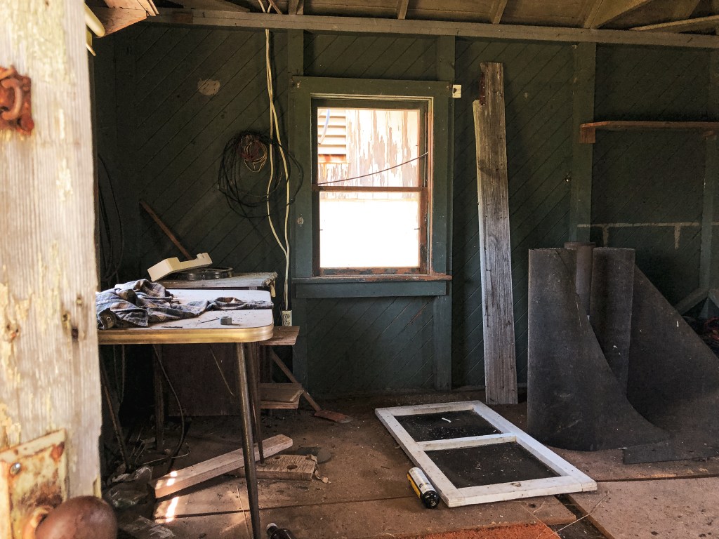
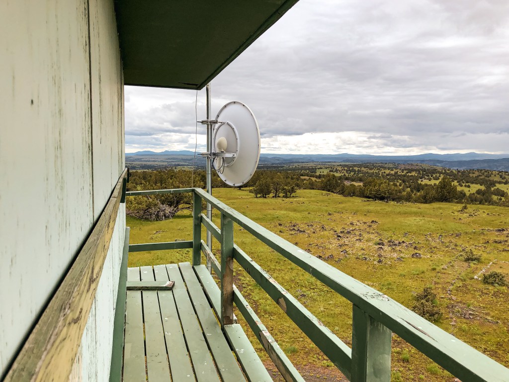
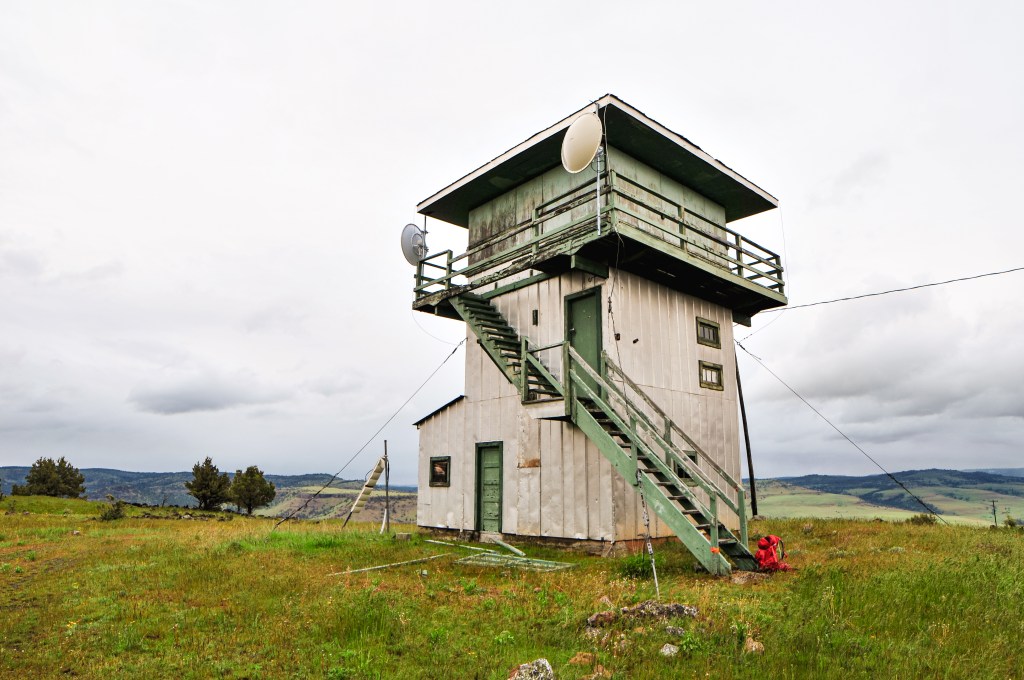
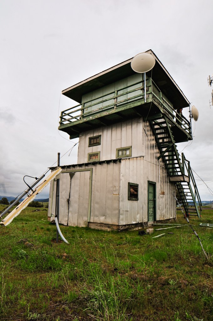
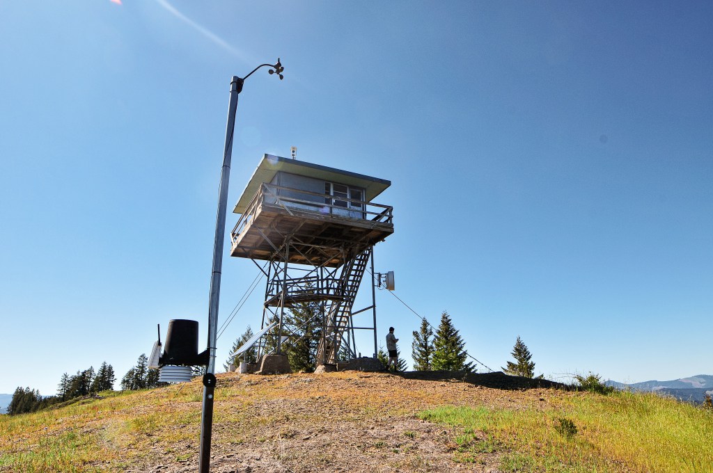
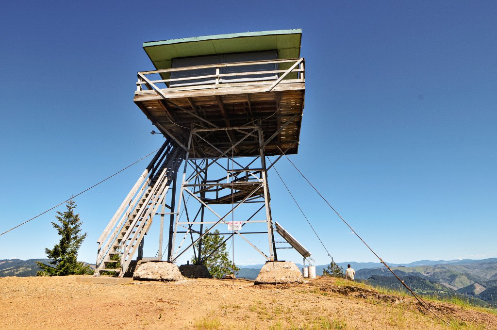
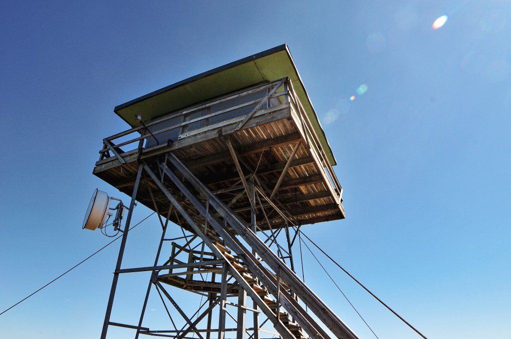
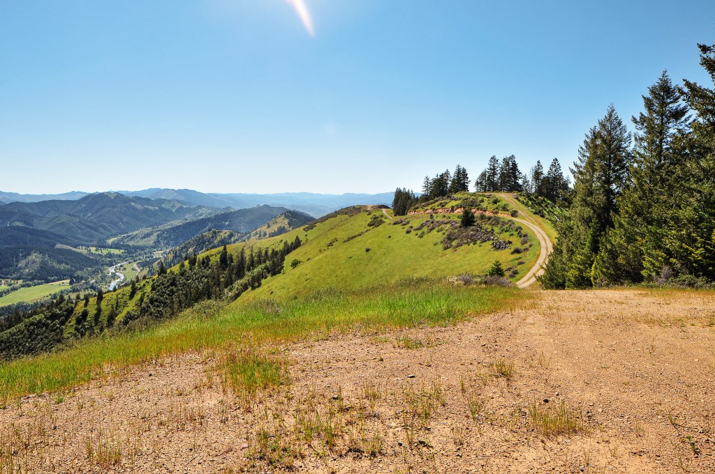
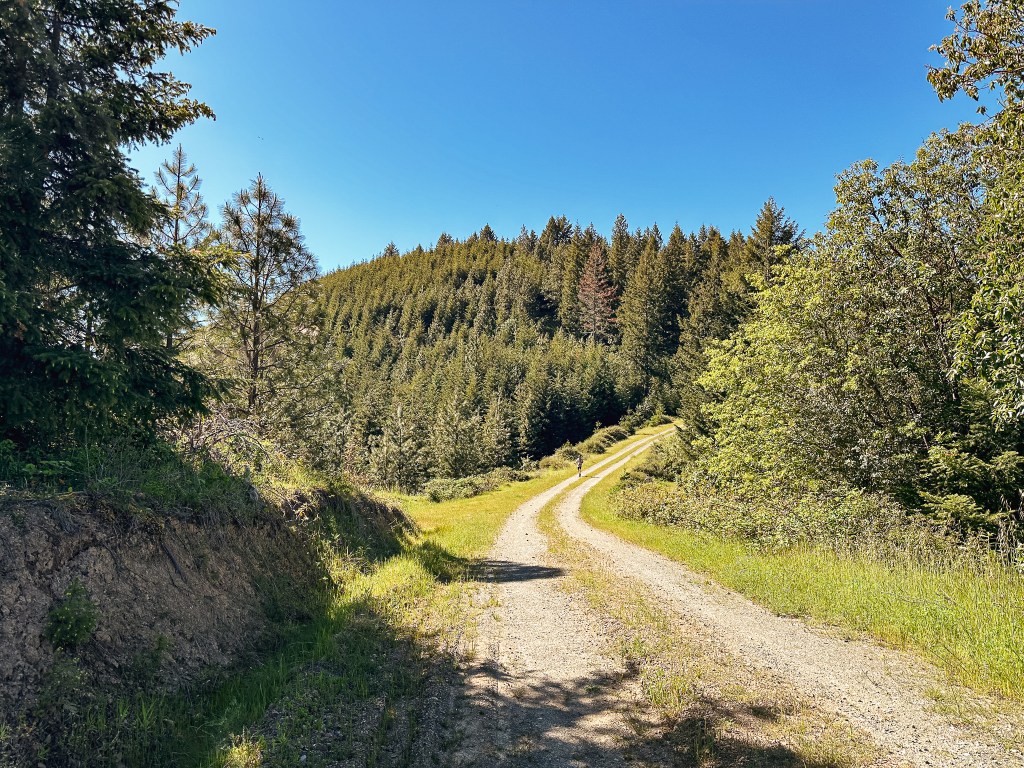
There wasn’t much to note about the road walk to the summit except that it was too hot and dry for early May. I feel like we’re gearing up for a terrible fire season this year *narrator: a terrible fire season indeed*. This entire spring has been lacking what Oregon is best known for, rain. There was a pretty display of California Poppies lining the road. I even found signs of an old gate that was probably used back when the fire lookout was staffed. The final spur to the fire lookout was off to the right while the main road continued straight. Despite being a short hike, I was struggling in the heat by the time I reached the base of the tower. I waved to the fairly new looking camera and headed for a spot in the shade of the tower. A new lock had been added to the trap door to keep visitors from accessing the catwalk and, more importantly, to keep them away from the fancy equipment. The view was pretty much the same from the base of the tower anyway. I found this lookout and summit to be accurately named. It does have a uniquely repurposed base to add interest though. We didn’t linger for too long since we still wanted to visit the lookout at the Tiller Ranger station and get settled at Pickett Butte for the night. All the roads getting here were good pavement or decent gravel and we had no issues in our Civic. The hike along the road came in at 1.75 miles RT with 472′ of elevation gain on the Strava App.


History.
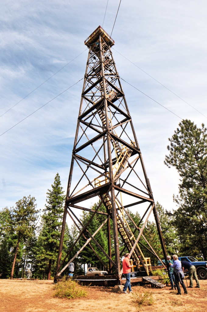
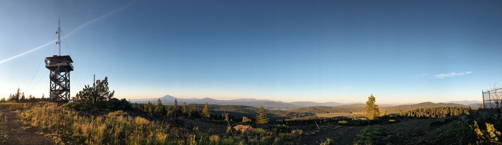
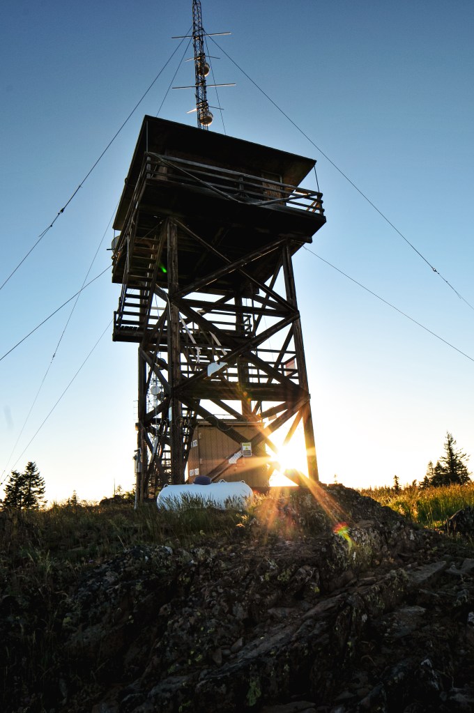
Bland Mountain was established as a fire detection site in 1942 with a tent camp. The first tower was built in 1947 as a 20′ treated timber tower with 14’x14′ cab. The NHLR notes it as being a 25′ tower. The base was replaced in 1996 by a 20′ tapered metal tower that was formerly used to support a water tank. It was actively staffed up until the late 2000s, but has since been abandoned. It’s most likely still listed for emergency status. A camera has been added to the cab for surveillance of the area.