Location.
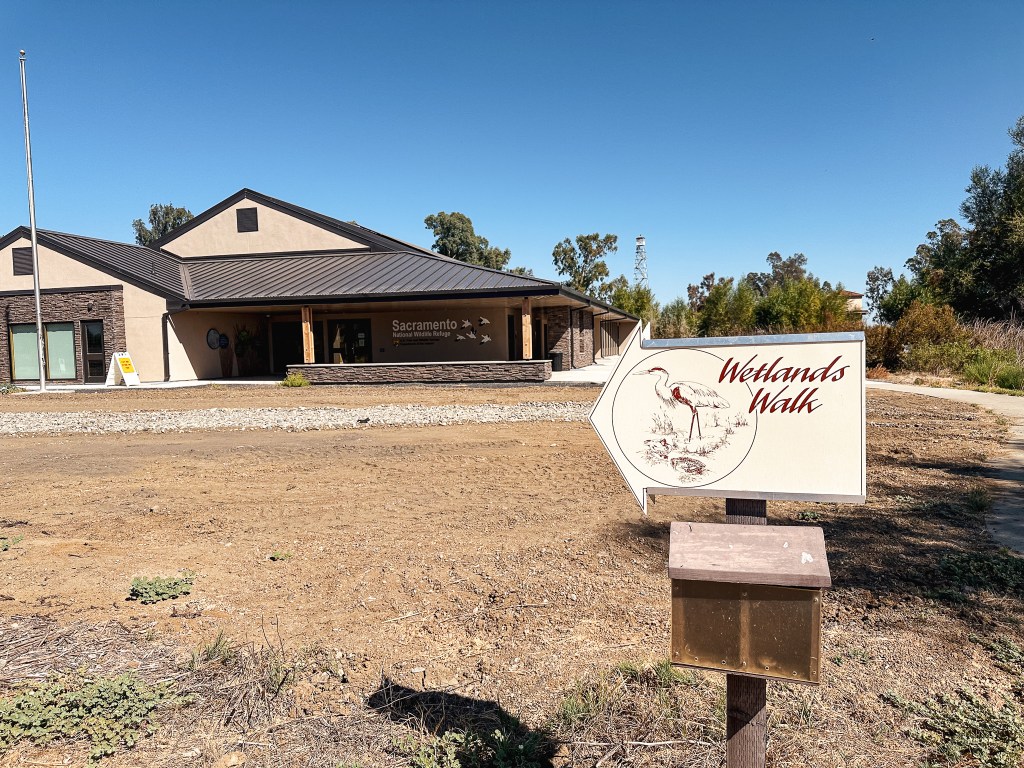
Sacramento National Wildlife Refuge
Status.
Currently standing
Estimated drive time from Portland, OR.
8 hours
Date visited.
September 21, 2024
Elevation.
97′
National Historic Lookout Register.
US 1387; CA 210
Trip Report.
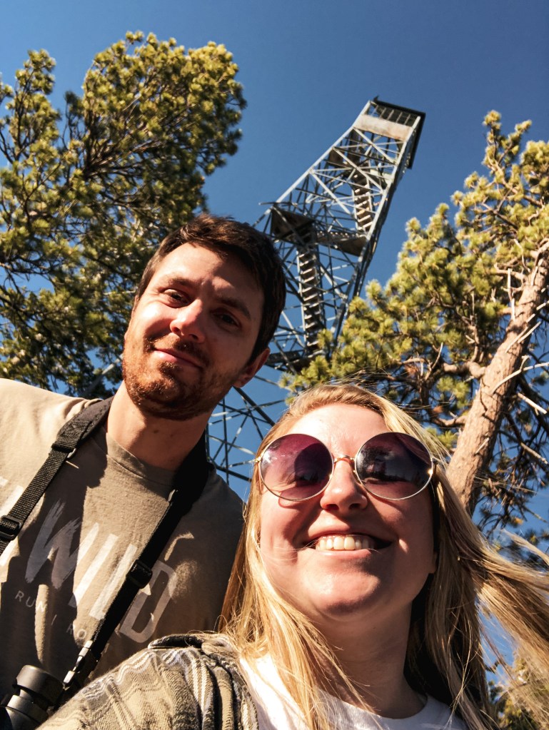
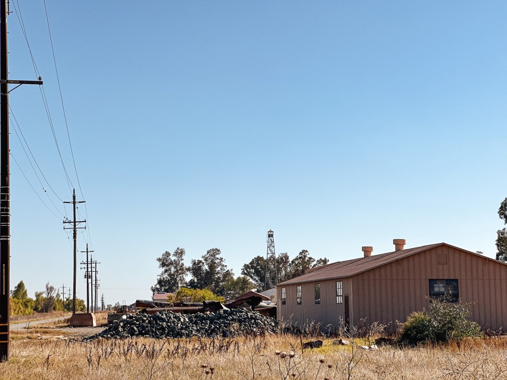
This was an easy on and off stop as we headed down for a week long trip to Yosemite NP and northern California. If you have read any of my other posts on Aermotor towers located on wildlife refuges you know how I feel about them. I will always appreciate an excuse to stop and look at some migrating birds though. We had already made multiple pit stops for gas and bathroom breaks on our way down the I-5 corridor and we didn’t really have time for another. We pulled off on exit 601 and made a left turn towards HWY-99W on CR-60 and then a right turn onto HWY-99W. We stayed on HWY-99W until we reached the refuge headquarters off to the left. There were no signs to point us in the right direction along this route, but it was easy enough to locate. If you take the next exit along I-5, there was a sign there for the refuge but you have to back track a little bit to reach it.


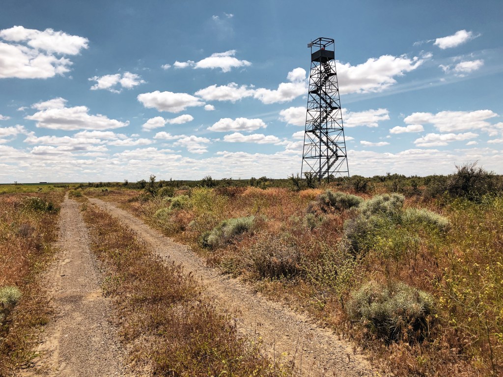
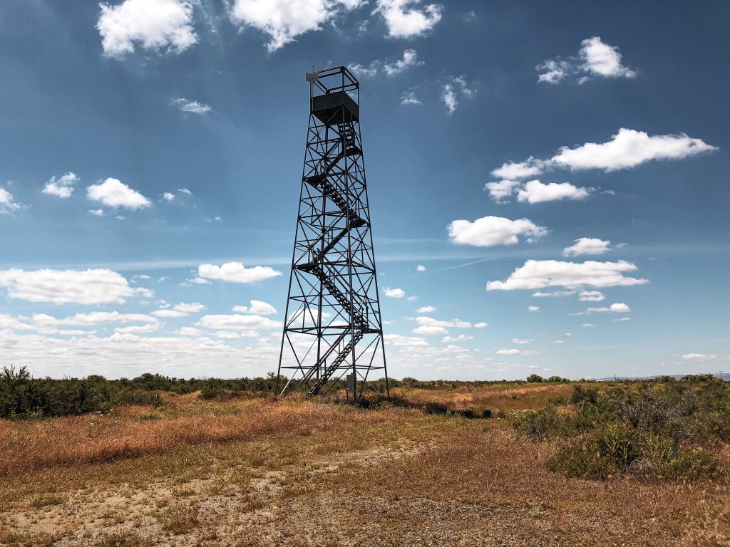
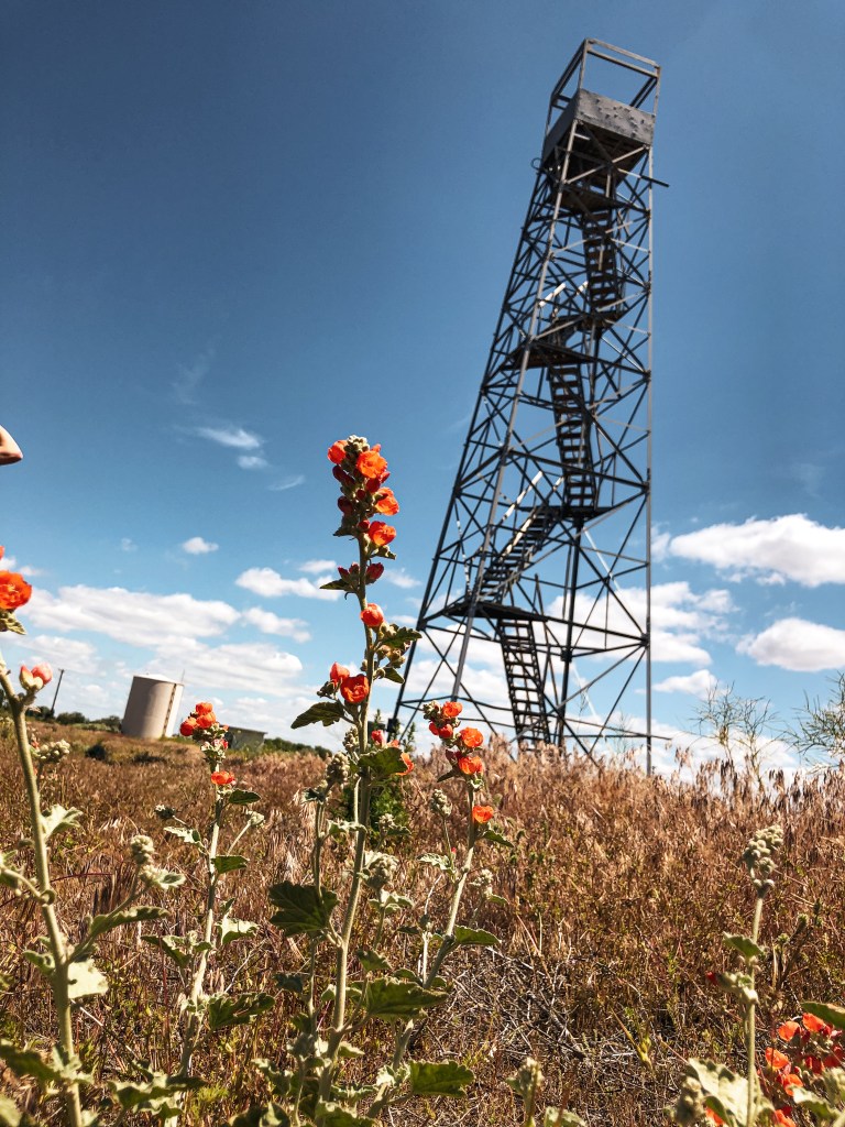
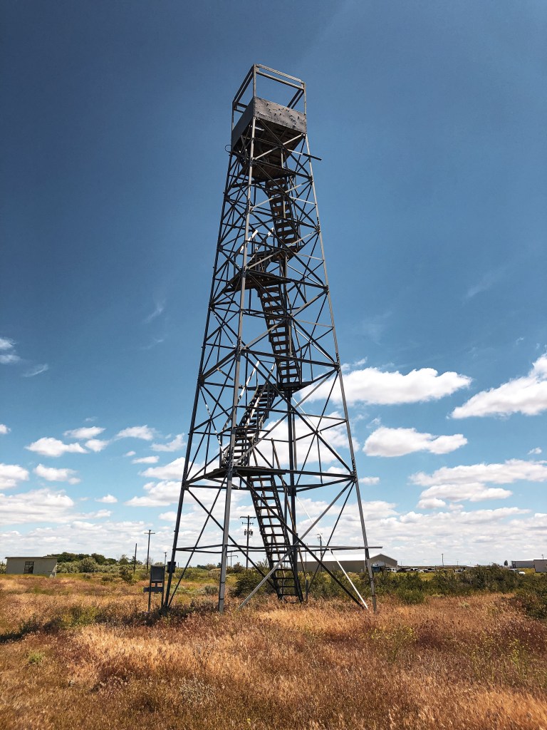
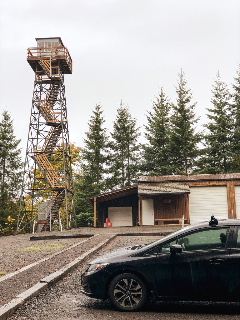
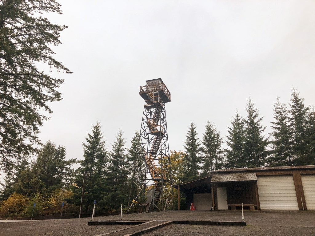
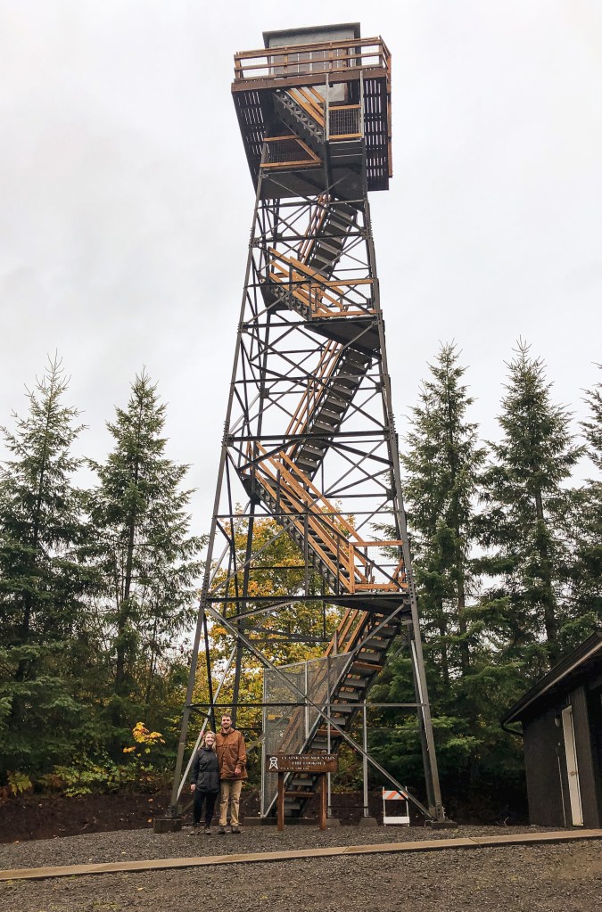
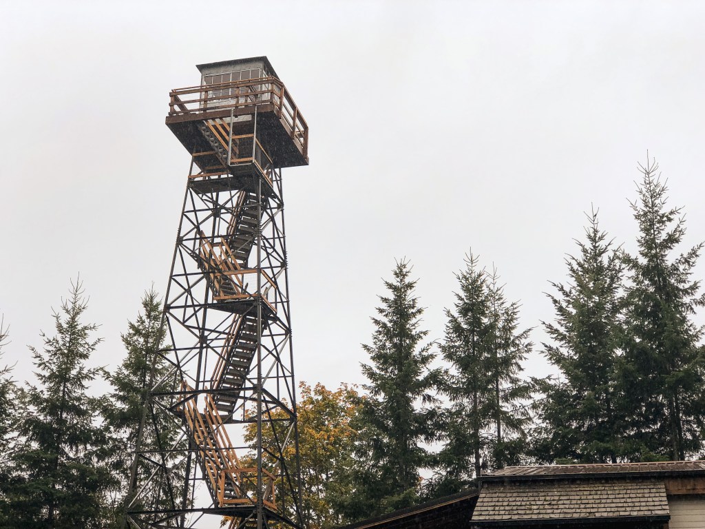
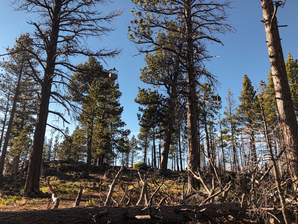
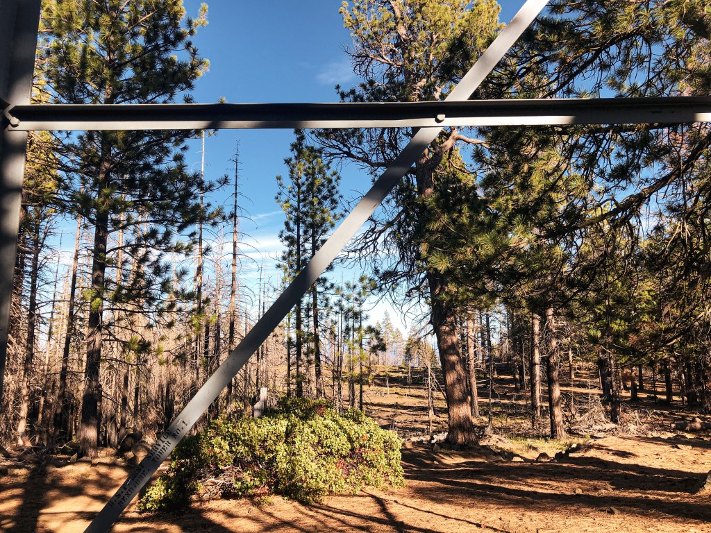
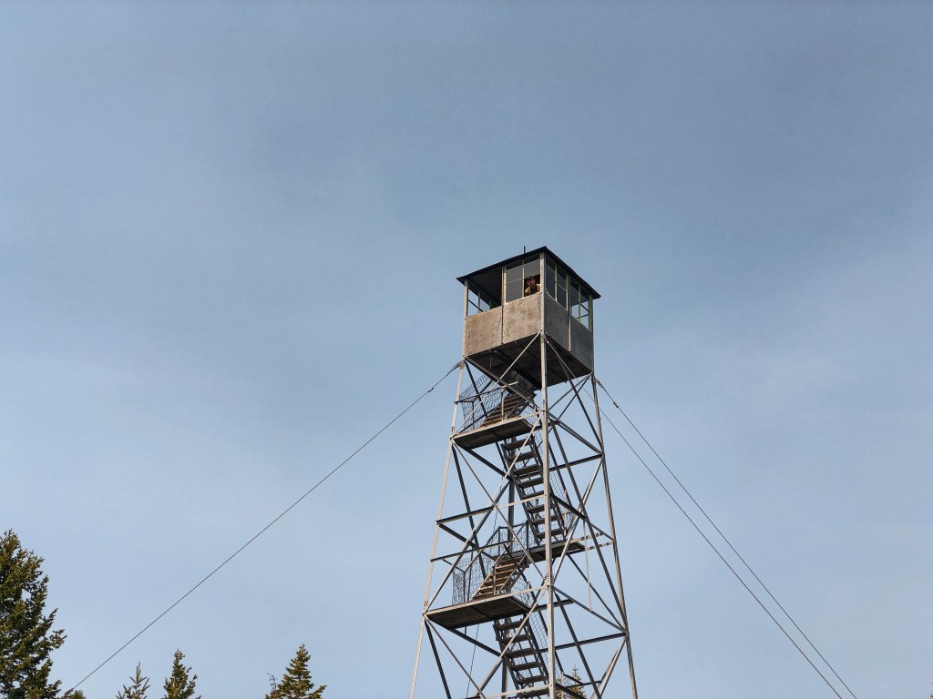
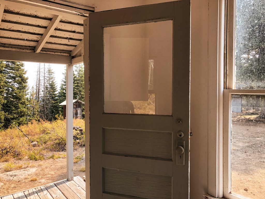
We pulled into the parking lot of the visitor center and could easily see the tower standing tall behind the buildings. The visitor center wasn’t open during our visit due to staffing shortages. The tower is located behind a gate on the grounds of the headquarters and is only accessible to authorized personnel. Though I am curious, if you were to ask nicely, if they would let you take a closer look. We turned on to the Wetlands Walking Trail from the visitor center to see if it offered any better views. We were able to get a bit closer, but there wasn’t much we could do about the restricted access. We weren’t too surprised since this seems to be fairly common with towers in wildlife refuge locations. Despite our time constraints, we decided to take the 6-mile auto tour through the refuge which added another hour of delay to our drive. It was a pleasant surprise to find hundreds of ducks, geese, and waterfowl stopped here along their migratory routes. You would never know it just by driving through on the interstate. We really enjoyed the design of their signs along the auto route as well. Each sign depicted different birds driving their car full of other bird friends. The lookout tower can be spotted along the auto route as well, but the best view is from the visitor center. It’s definitely worth the stop if you need a reason to stretch your legs.


History.
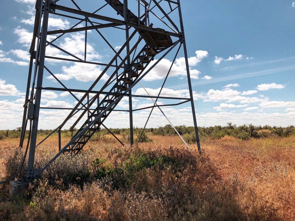
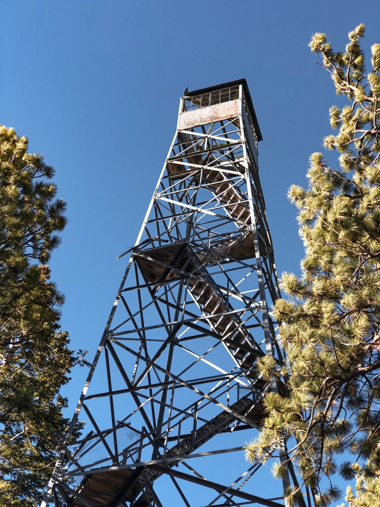
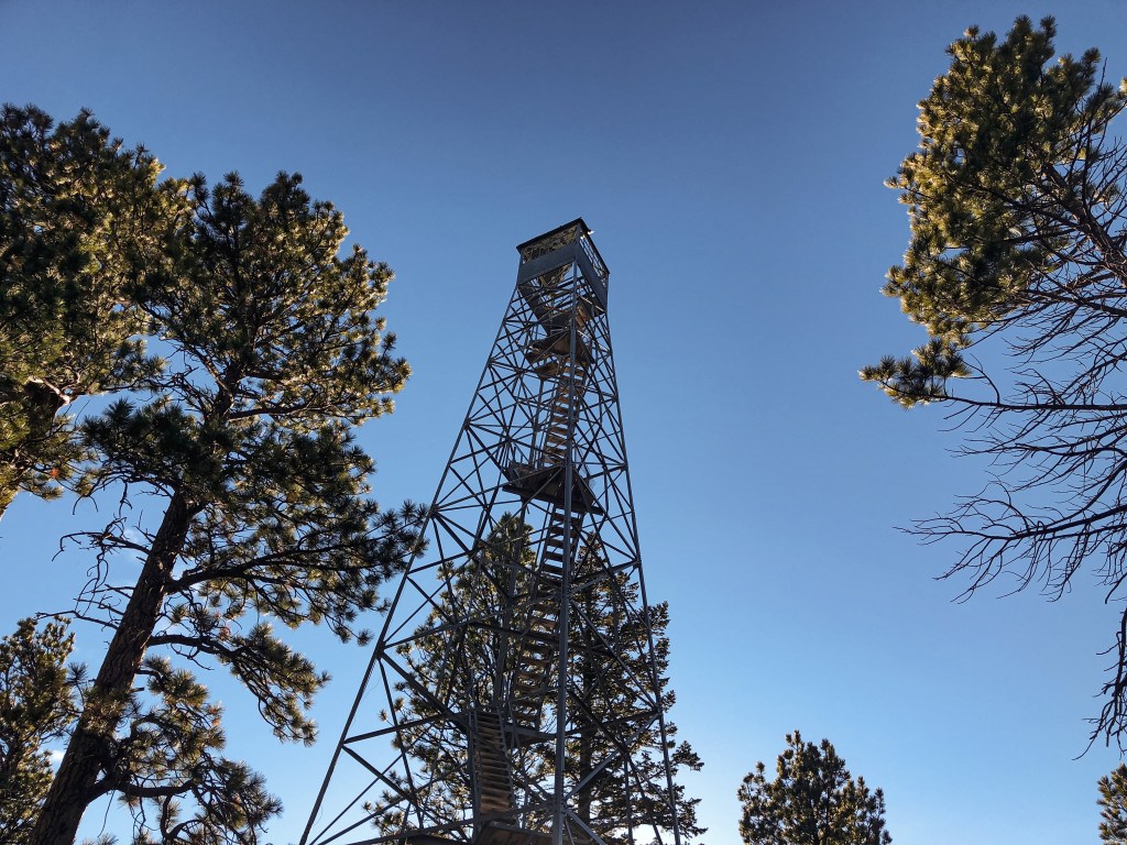
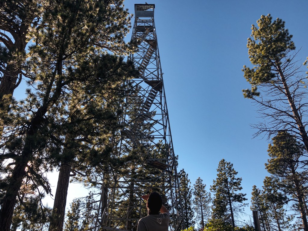
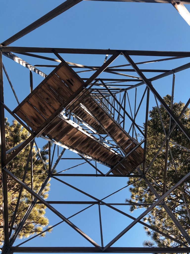
Built in 1937, this 100′ Aermotor steel tower with 7’x7′ observation cab was apart of the initial buildings when the Sacramento National Wildlife Refuge was first established. Similar to other wildlife refuge towers there does not seem to be any confirmation that these were ever used to detect wildfires. Most of these towers served to view wildlife in the surrounding area. In a 1986 Thorton Survey, the site is noted as the I-5 Lookout due to being just off the interstate.