Location.
Rogue River-Siskiyou National Forest
Status.
Rental program; Currently standing
Estimated drive time from Portland, OR.
7 hours
Date visited.
May 28, 2023
Elevation.
3,419′
National Historic Lookout Register.
US 494; OR 87
Trip Report.
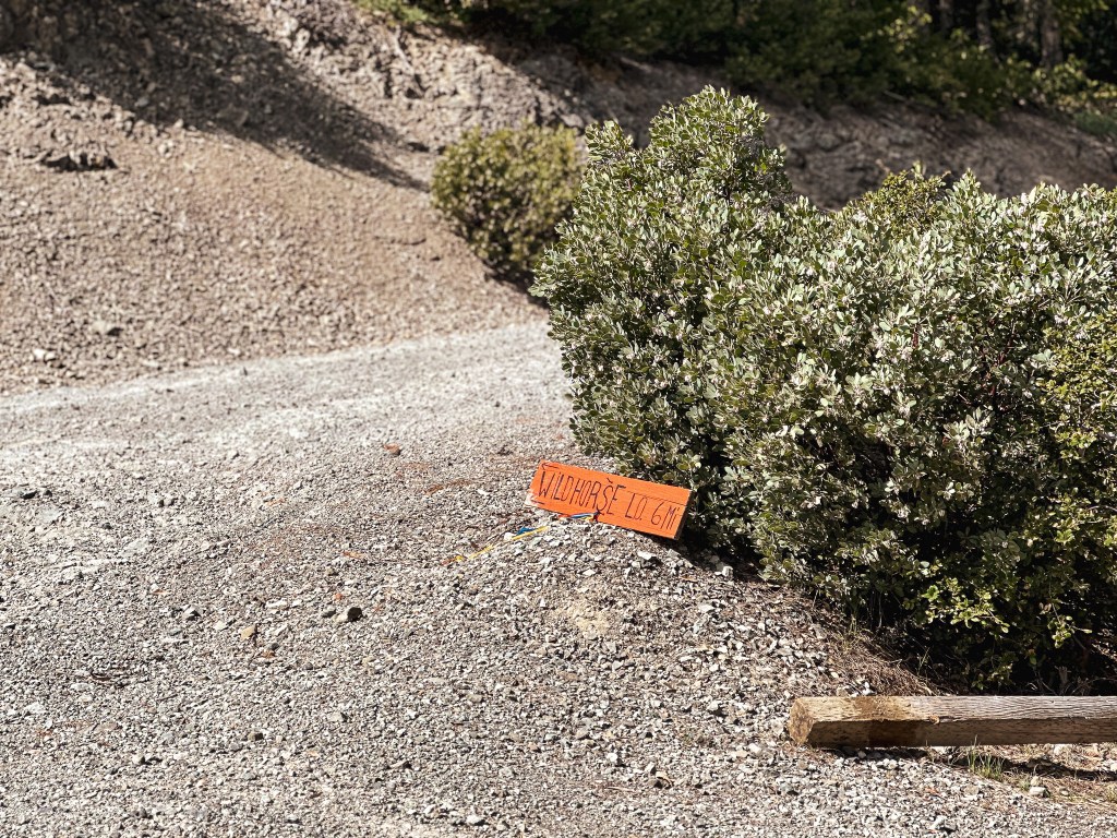
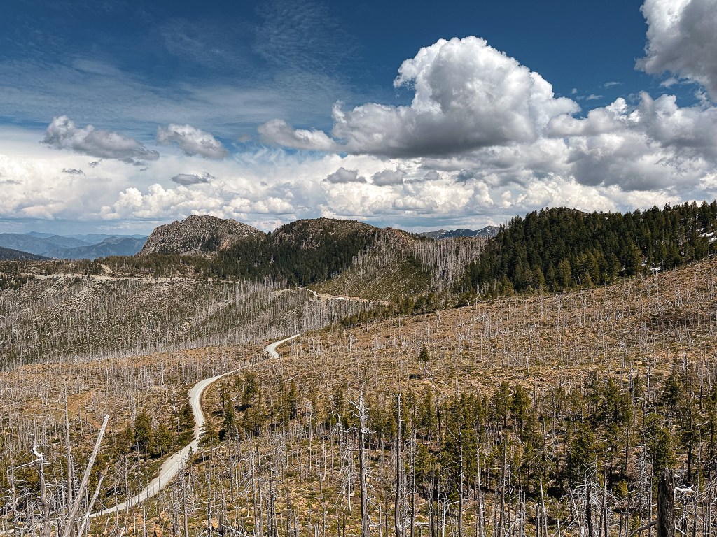
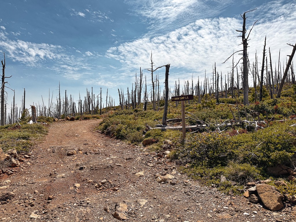
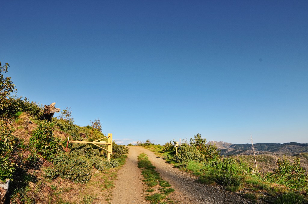
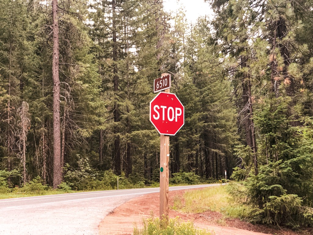
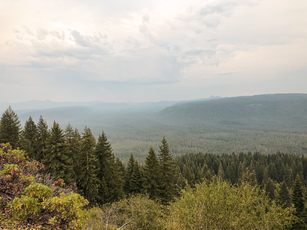
The next morning we awoke in a fog cloud that had rolled in while we slept. It made for a much colder wake up call than the morning prior. I threw together some breakfast burritos and coffee to warm us up. Our objective for the day was to make it to the rentable Lake O’ Woods L.O., more commonly referred to as Lake of the Woods. if time permitted, we would try for Bald Knob L.O. as well. We packed the car and headed down NF-3318 to NF-33. We hung a right on NF-33 to continue our route through the forest. The road remained paved until we passed the small community of Agness and crossed the Rogue River. The gravel portion of NF-33 was well maintained and looked to have been recently re-graveled. I was following directions I pulled from the Recreation.gov site that said to take NF-3340 to get there. I figured this would be the best route since it was recommended by the Forest Service. Granted it does have you connect to this road via NF-3310, but since I originally thought we’d be doing this route in the opposite direction I didn’t write that down. I had figured we could connect via the other side of NF-3340 with no issues. There was some confusion to this when we drove past a sign that pointed to Lake O’ Woods at the junction with NF-3336. It noted the fire lookout at 9 miles away. I decided we needed to continue on to NF-3340 since I figured that would be the better road. I kept telling myself “it’s the road the renters take, so it had to be the better option”. Oh how wrong I was.
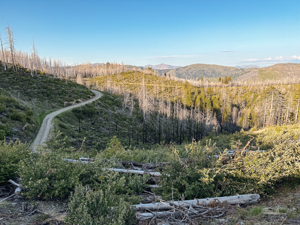
When we came to the junction with NF-3340, the road looked narrow and headed up steeply from NF-33. It also appeared to be much less traveled than the other signed road we had passed. I was still convinced otherwise and made the sharp left turn. I was getting a bad feeling that we were not where we should be the farther we climbed up the road. It was covered in tree debris and some rocks, but that’s not necessarily uncommon for a lookout road. What didn’t sit right with us was that it didn’t look well traveled enough for a lookout on the rental program. Honestly, It really didn’t look traveled at all. We decided to turn around when we were met with a large drop in the road. This was a blind drop that would’ve been treacherous if we had not stopped to get out and look at it. We might have been able to maneuver around it, but beyond I could see the road turned sharply up at a steeper angle than the road had already been. Everything about this felt wrong and we decided to try our luck with the NF-3336 road. It at least had a sign for the fire lookout.

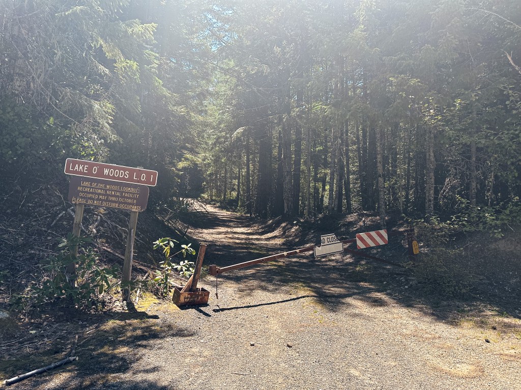

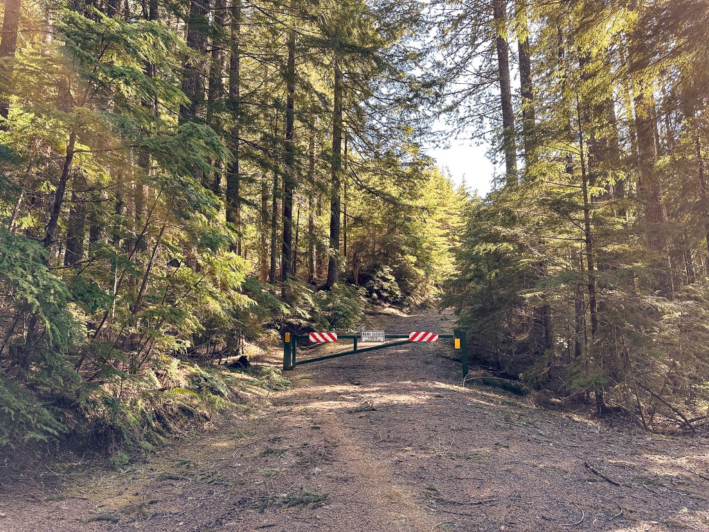
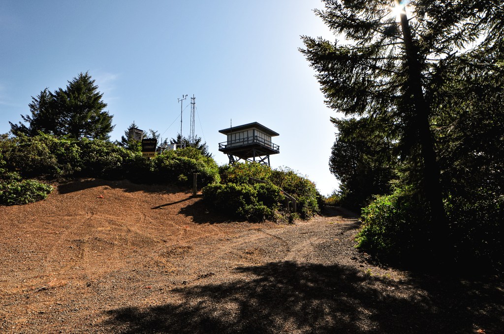
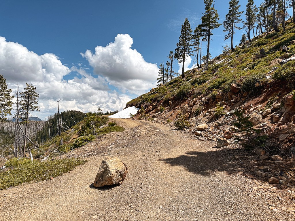
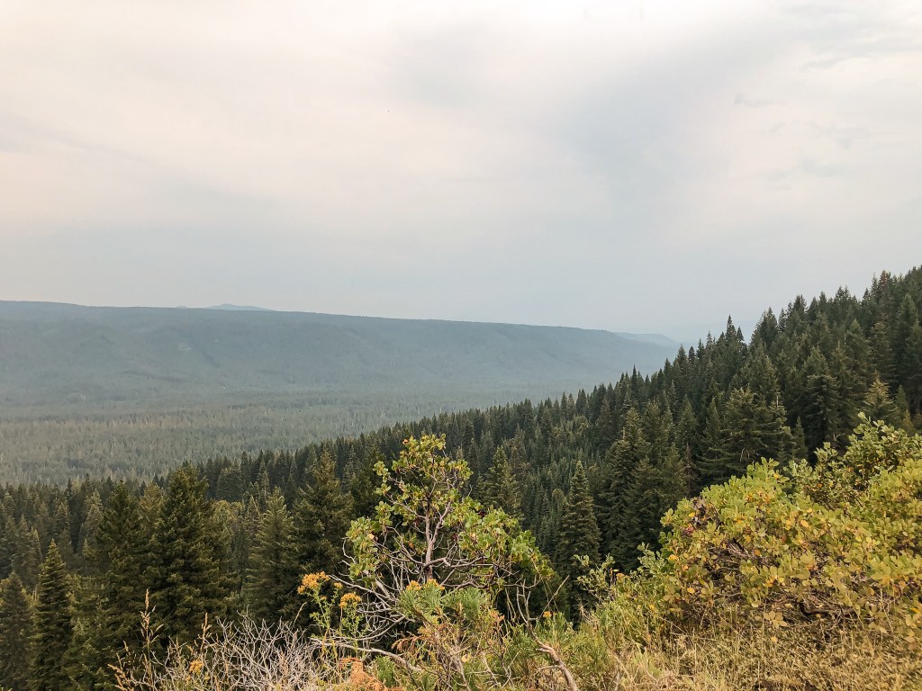
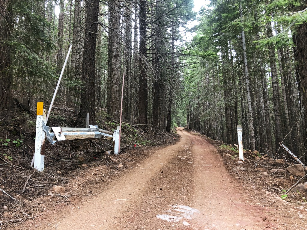
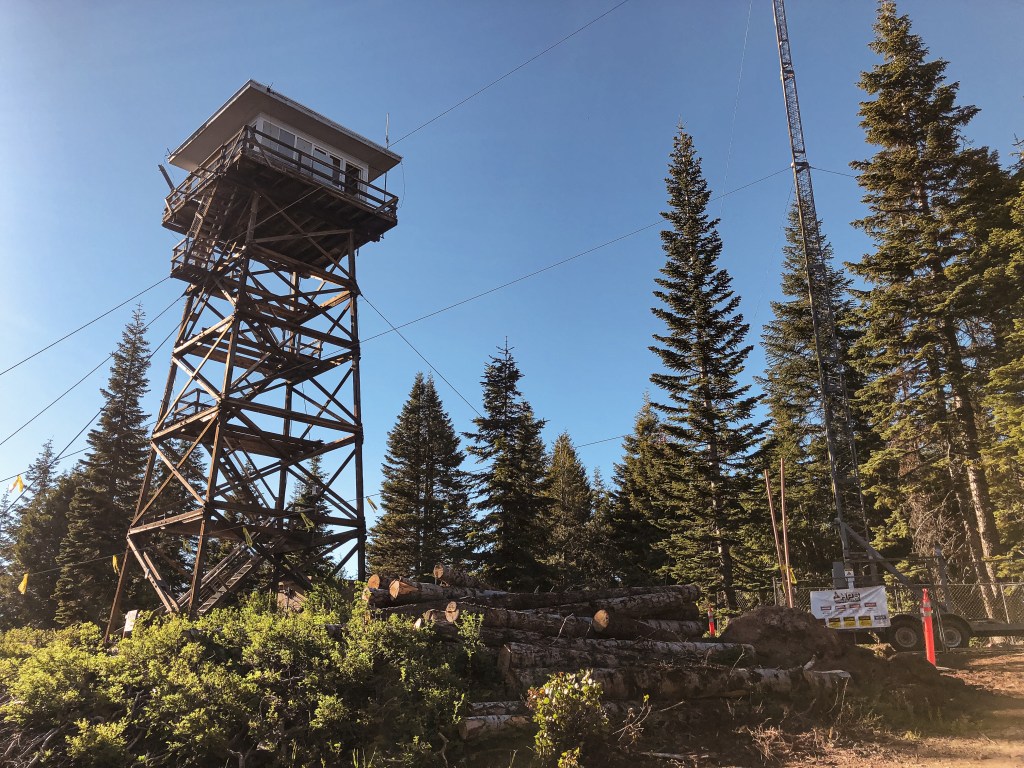
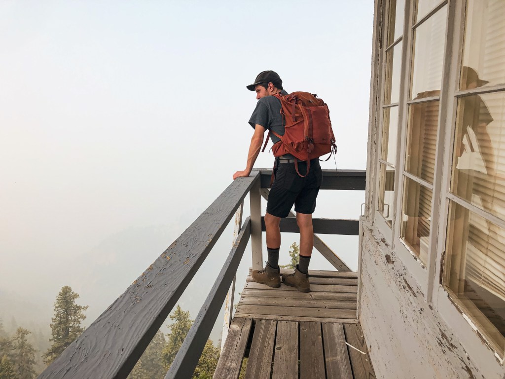
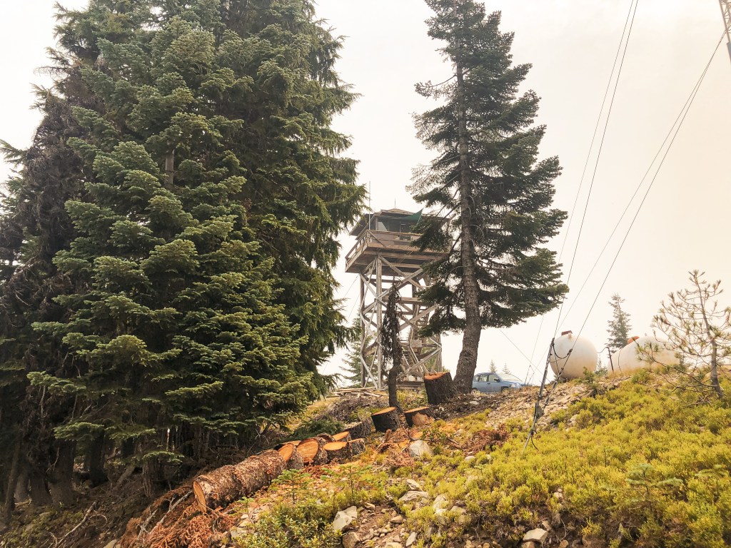
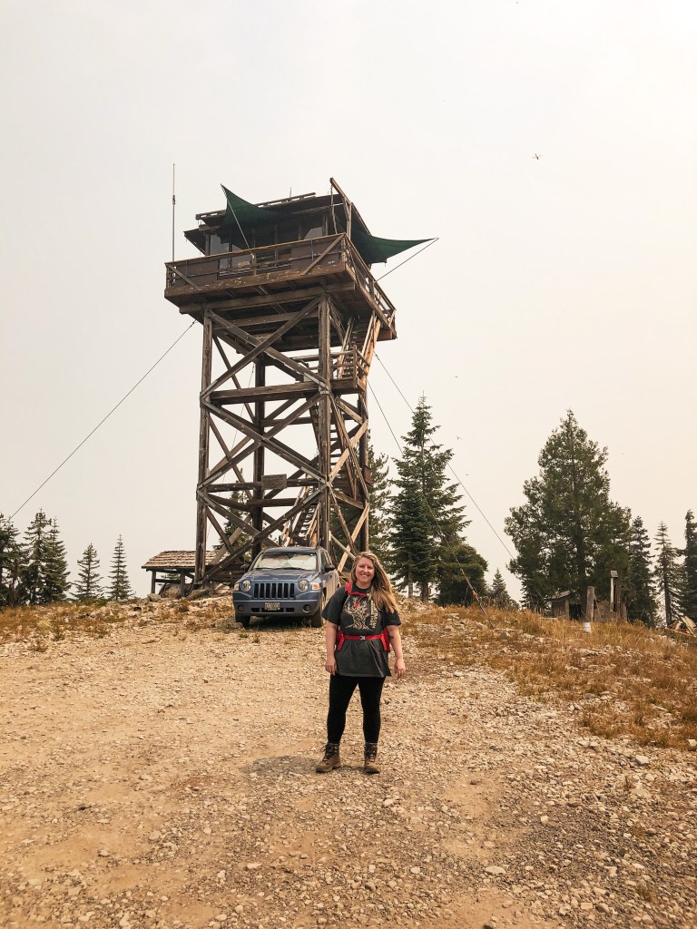
After the fiasco with the NF-3340 road, I let my partner take over the driving on NF-3336. This road seemed to be better from the start. But, don’t get me wrong, this is not a great road either. For the next 8 miles, I stressed and moaned as Garnet maneuvered around large dips where the very narrow windy road was beginning to wash out. Let’s just say I’m not the best as a passenger. The pull outs were essentially non-existent and we were happy we didn’t meet any oncoming traffic. We did make it all the way to the five way junction though. The NF-141 road to the lookout is signed and gated. If we had followed the actual directions from the Recreation.gov site, the road would have been paved all the way to this junction. Though pavement in the forest does not always equate to better road conditions. I have a feeling it is probably better than the route we ended up on though. The gate to the road was unlocked during our visit. Out of respect for the potential renters, we decided to walk the remaining distance on the spur road. We parked our car in the shadiest spot we could find and started to pack a lunch for the summit. As we were locking up the car another vehicle drove up the same NF-3336 road. It was a RAV-4 which I’m sure had a much easier trip up the road. The vehicle parked near the gate and a family of four got out to start prepping for the hike as well. We had a head start on them, but I figured they might pass us on the way up. The hike up the road came in just slightly under a mile at 0.89 miles according to my Strava tracker. This made the total road walk 1.79 miles round trip from our parked car.


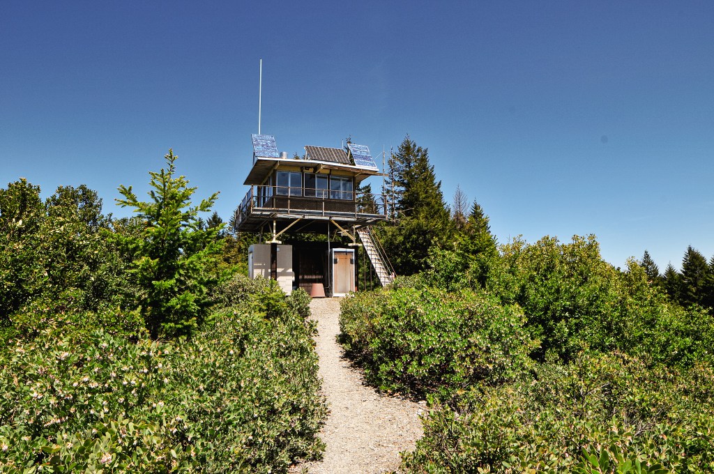
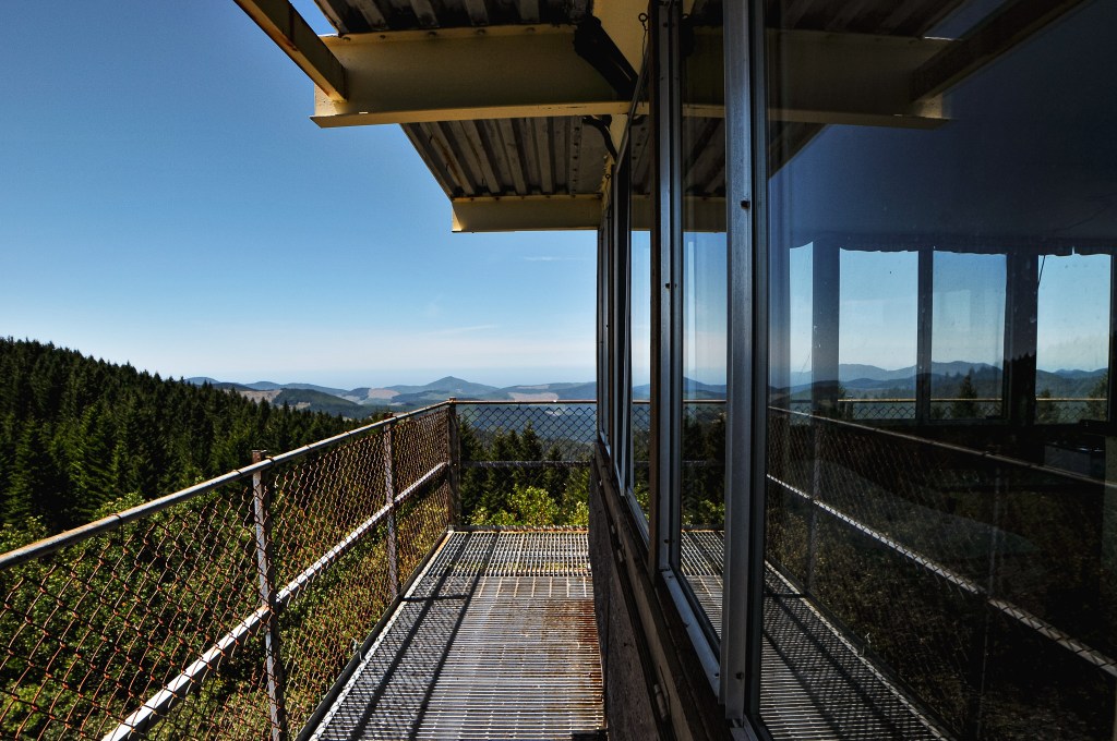
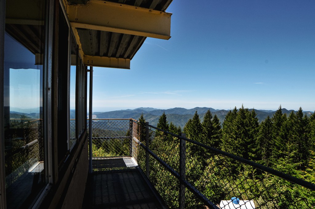
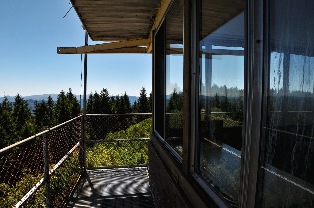


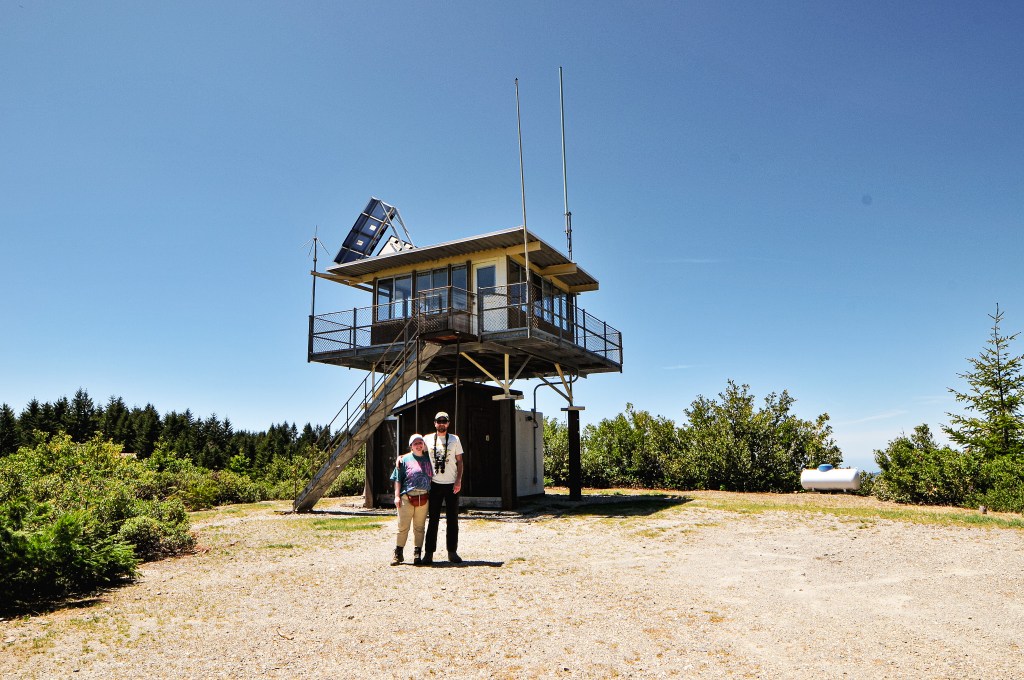
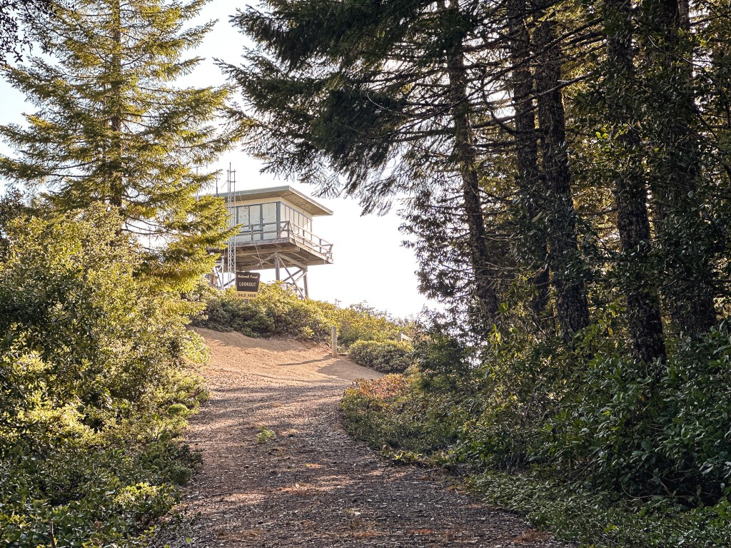
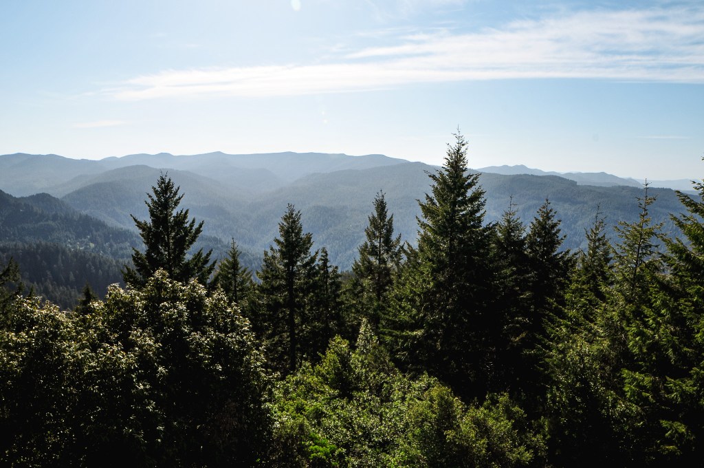
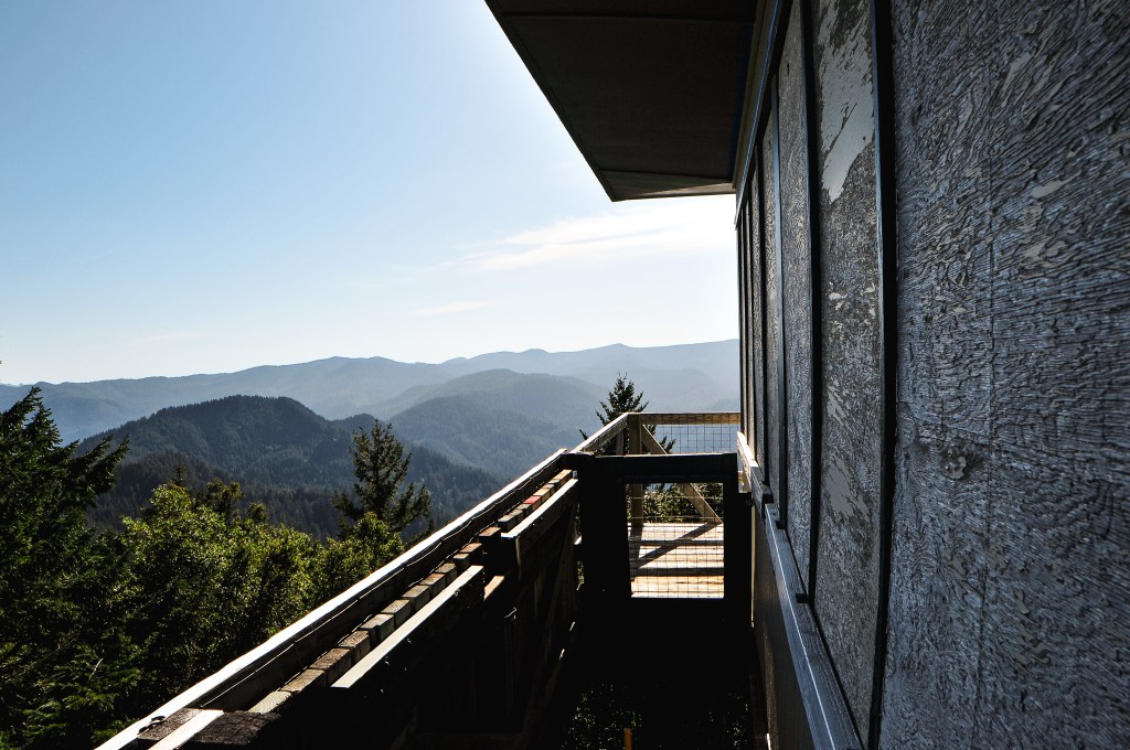
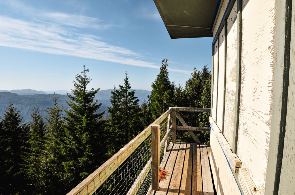
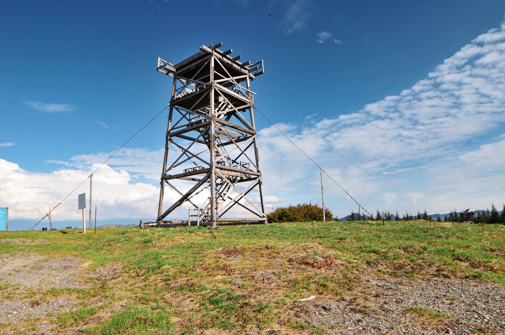
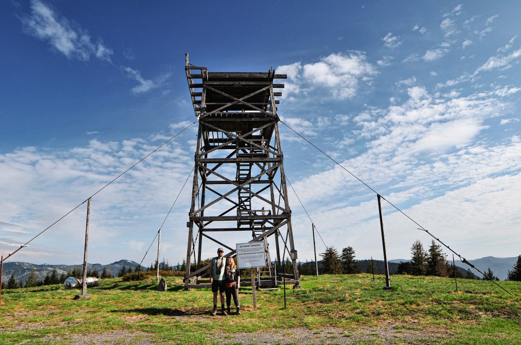
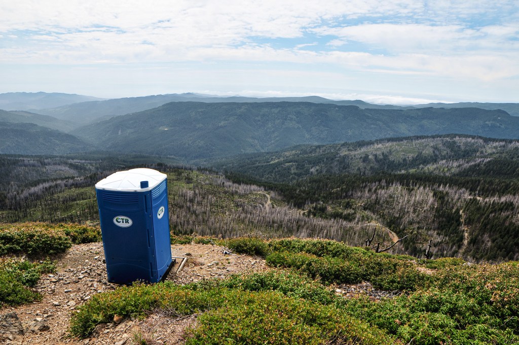
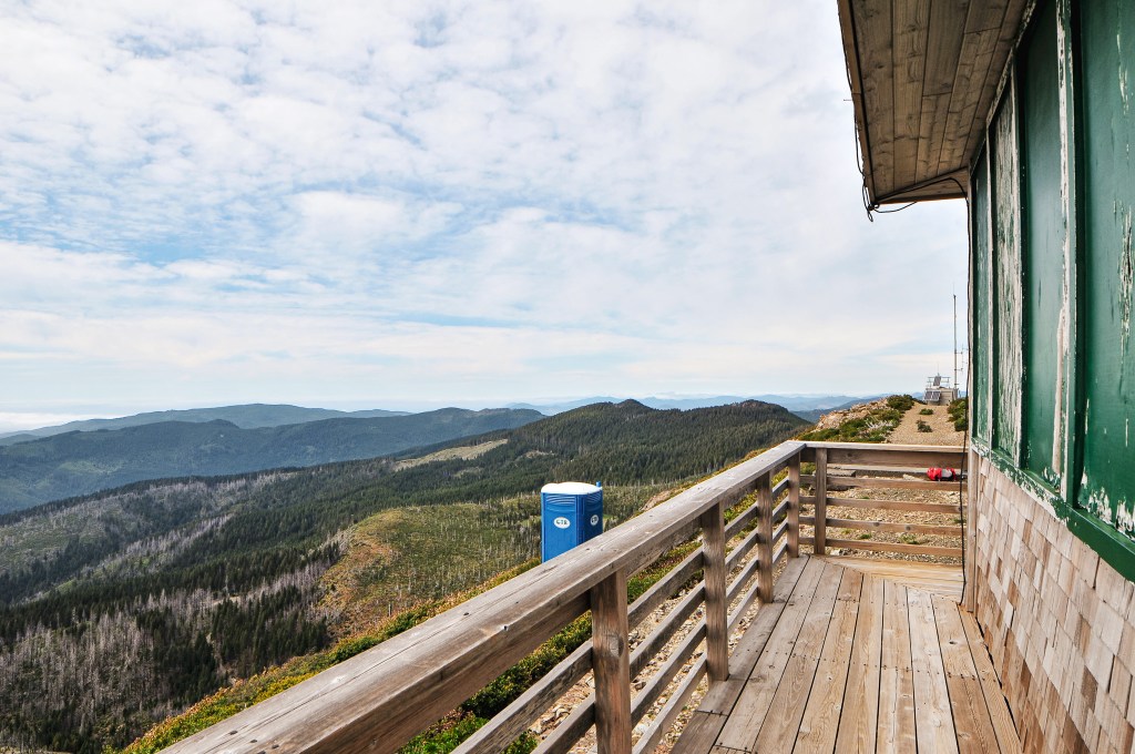
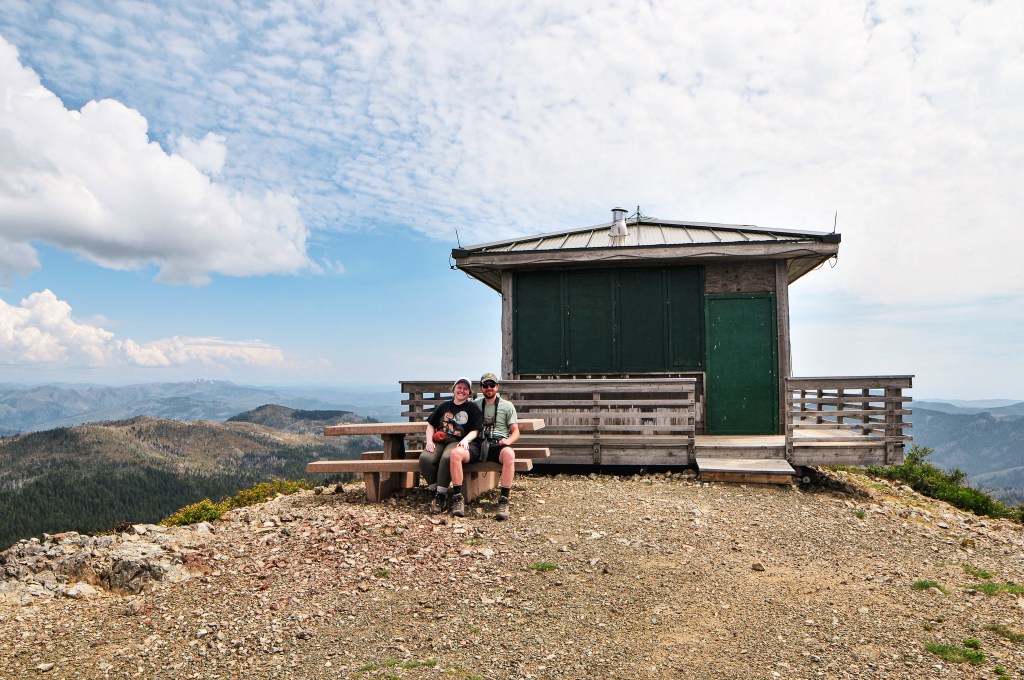
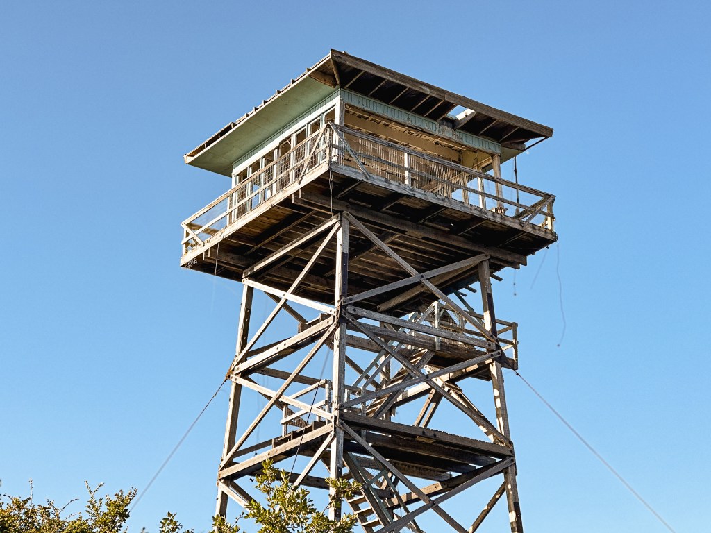
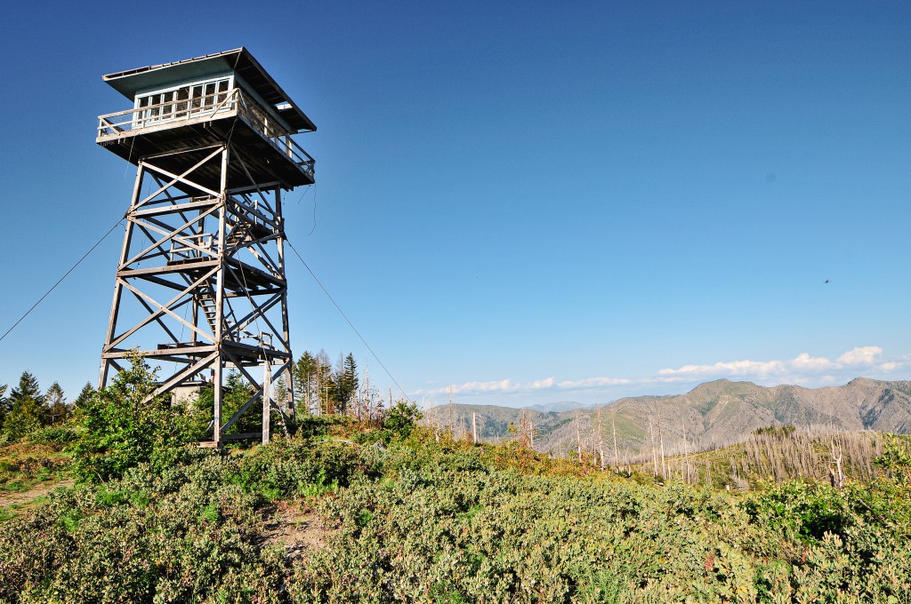
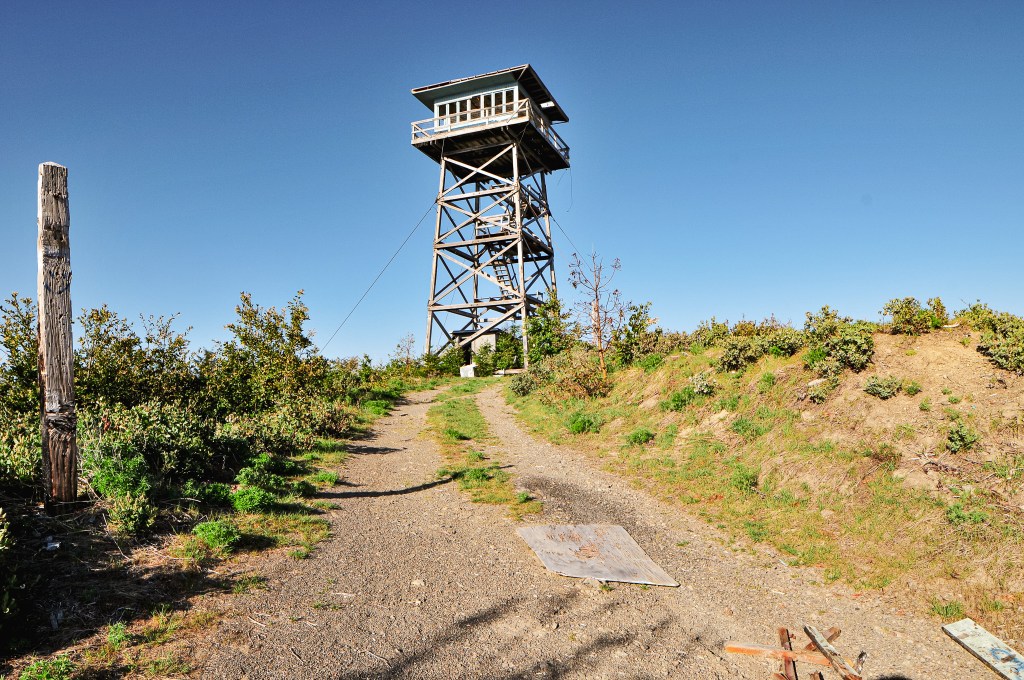
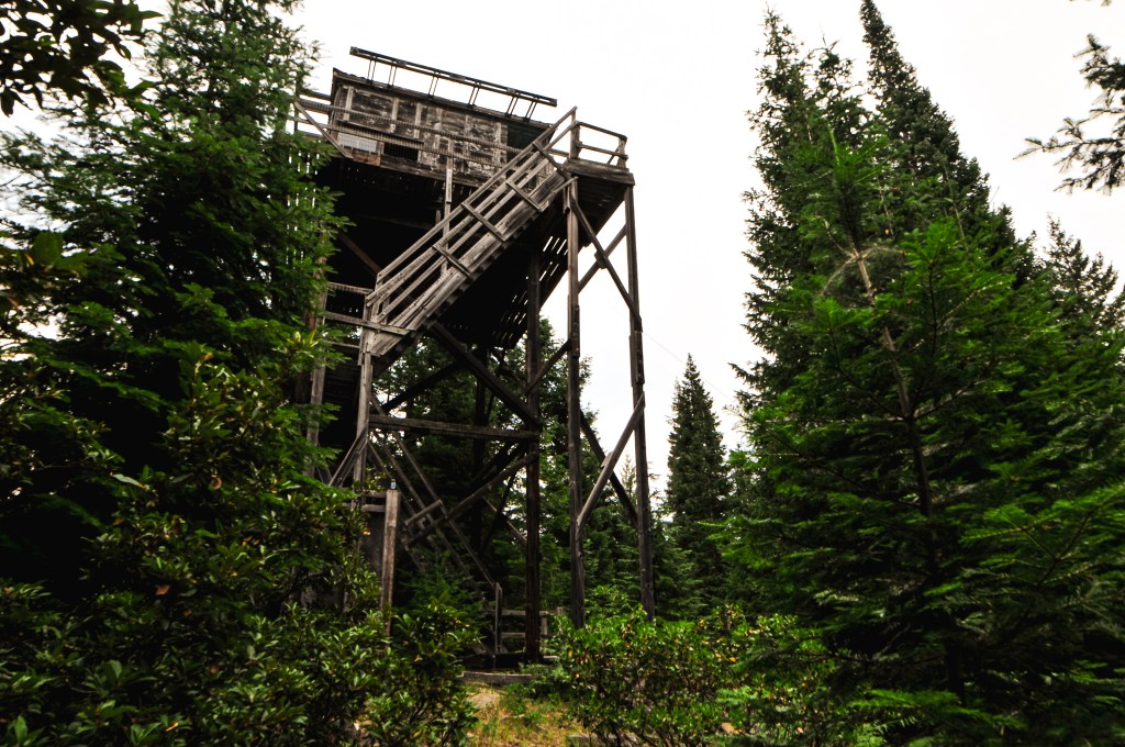
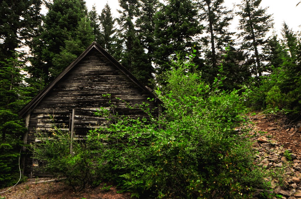
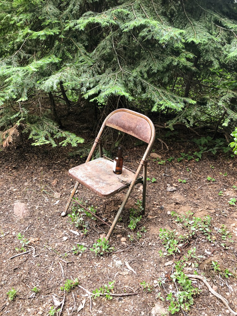
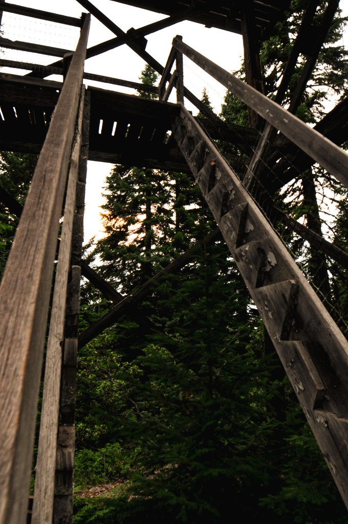
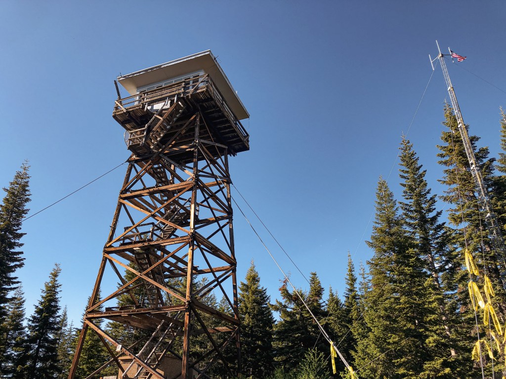
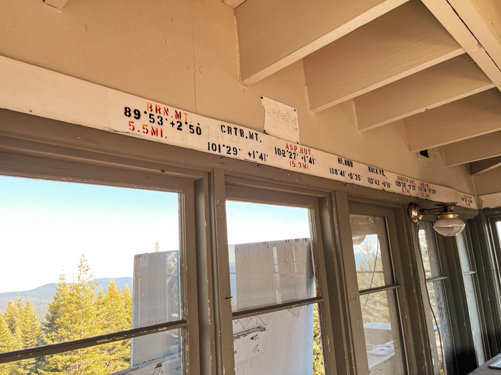
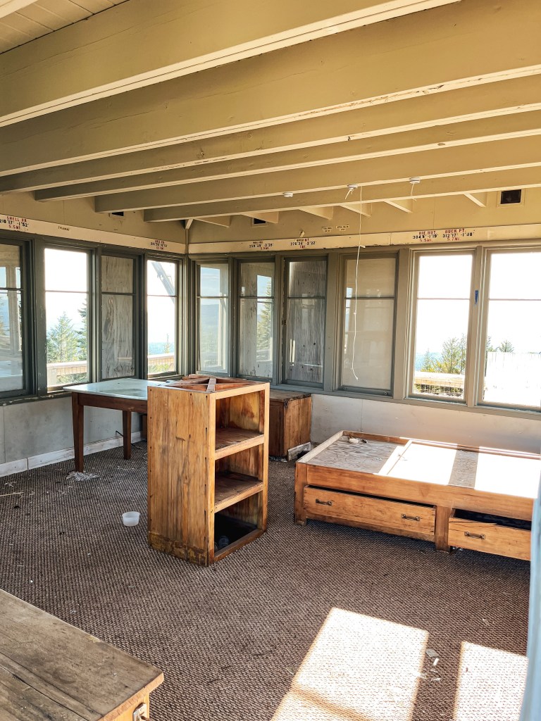
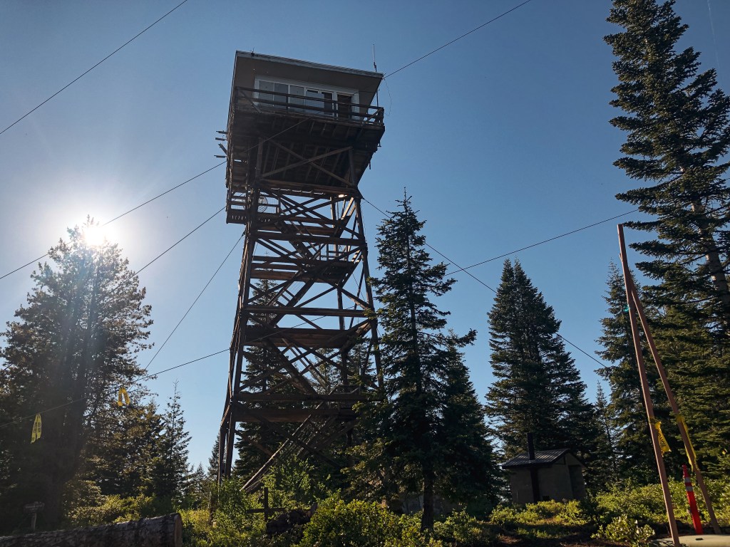
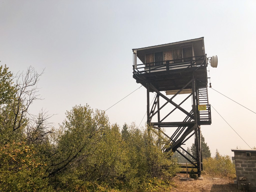
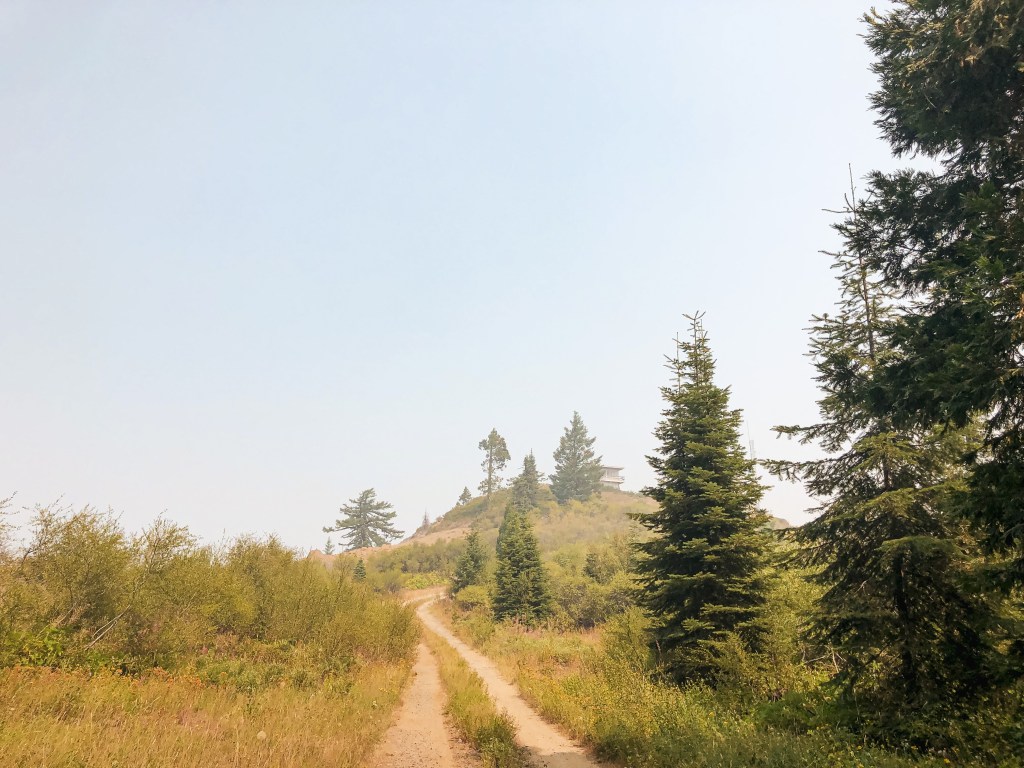
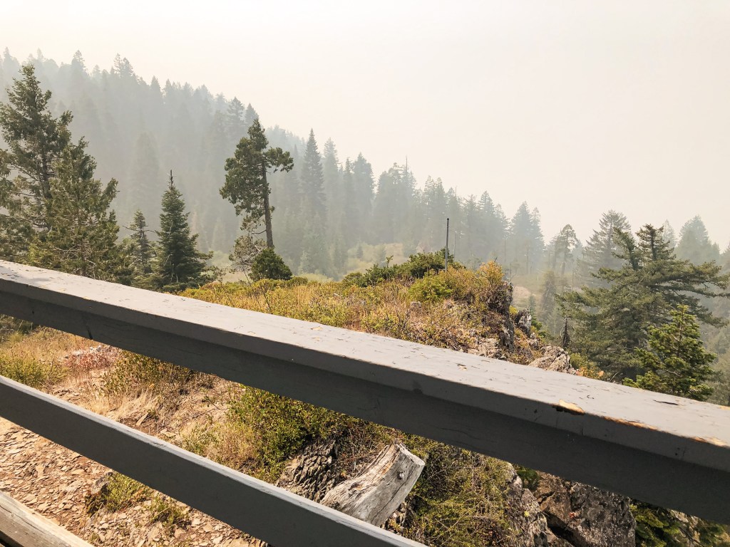
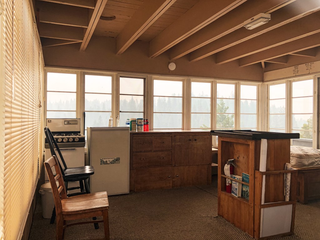
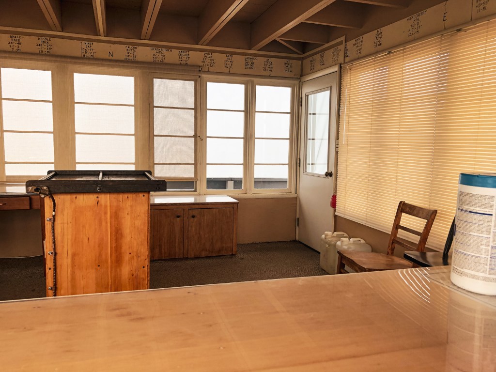
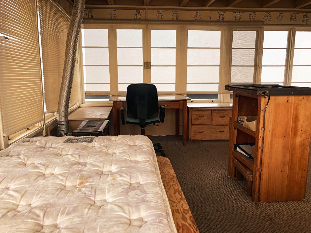
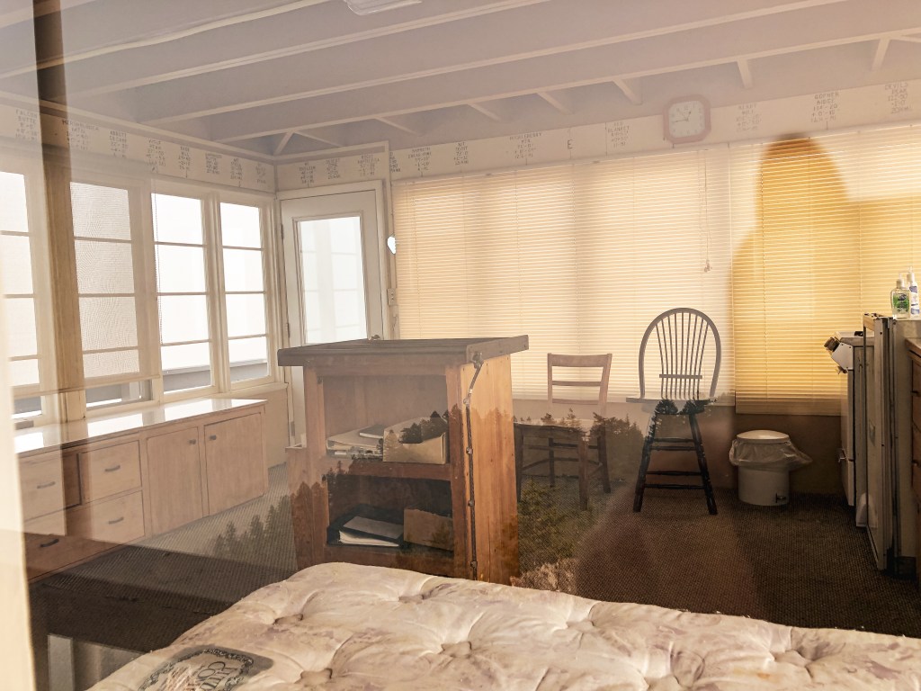
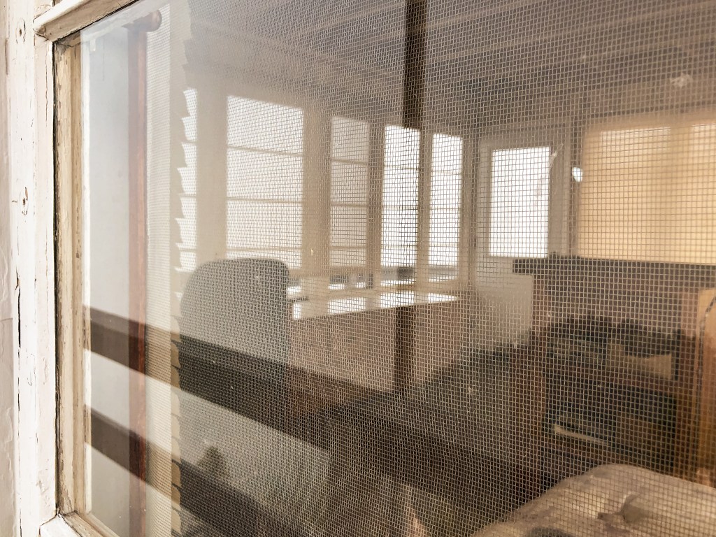
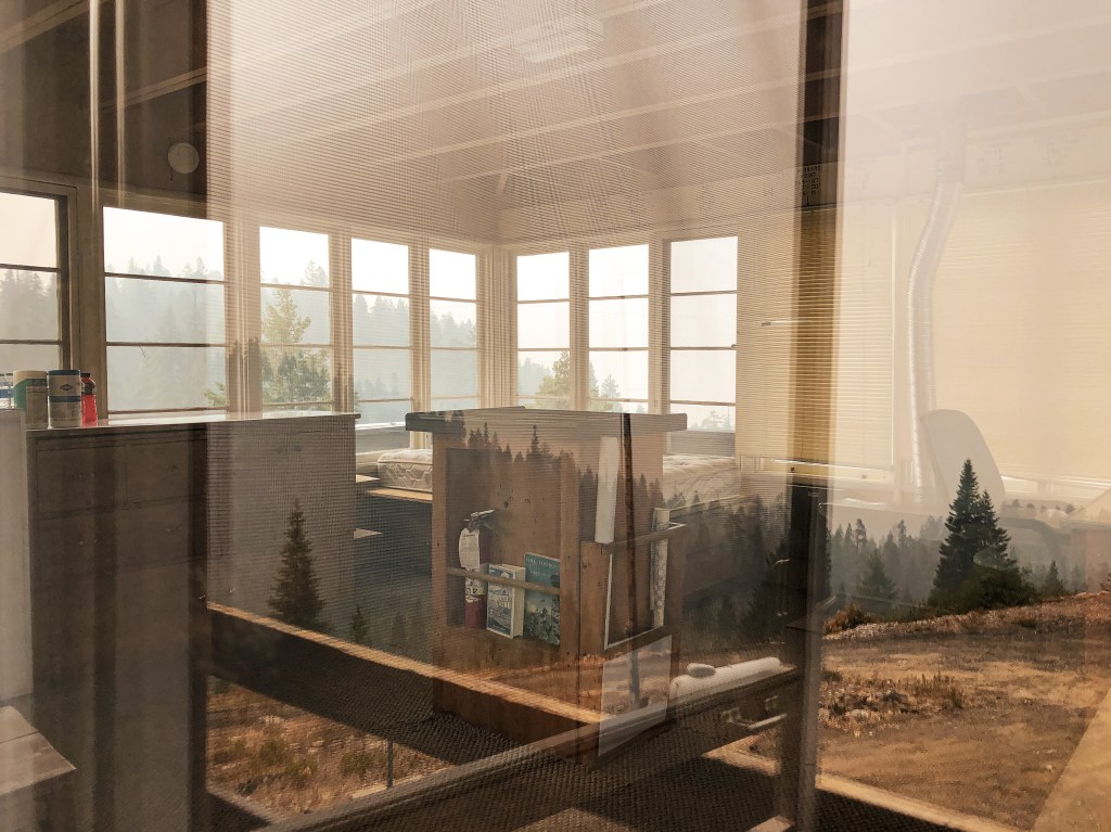
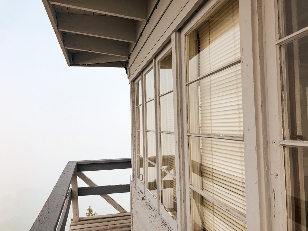
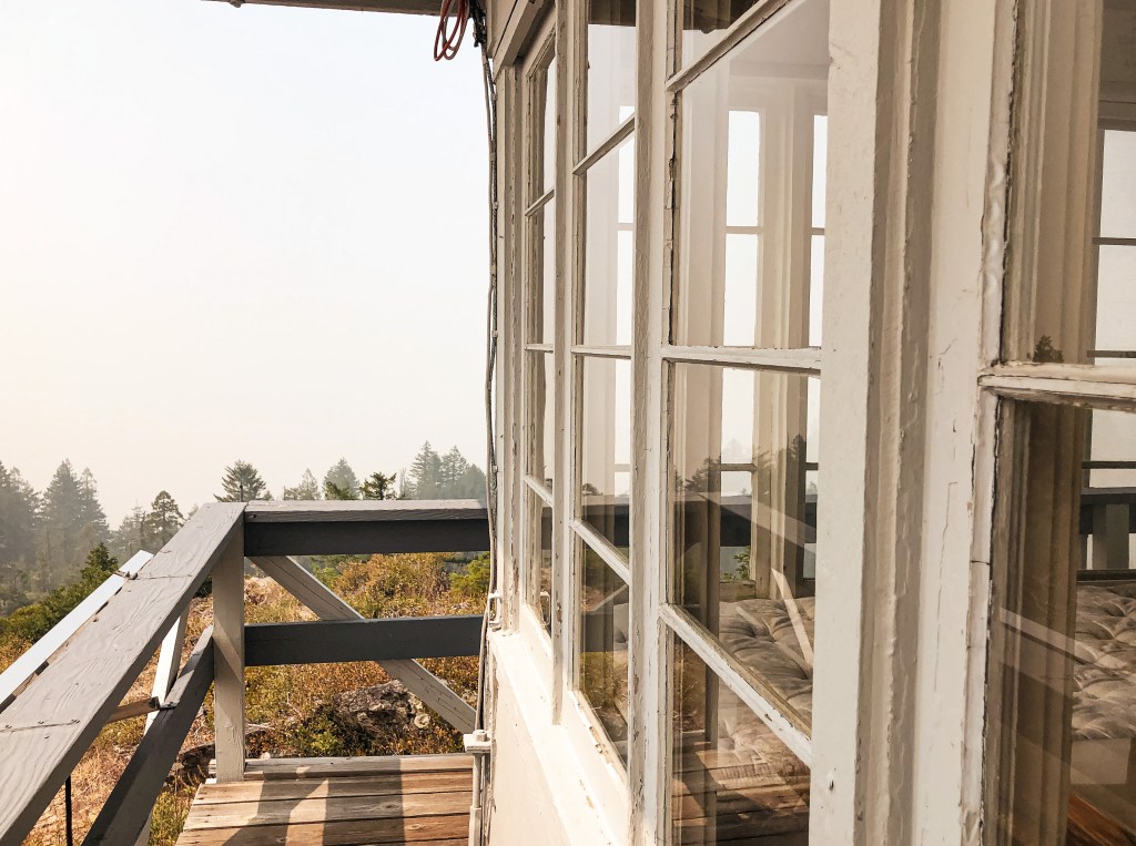
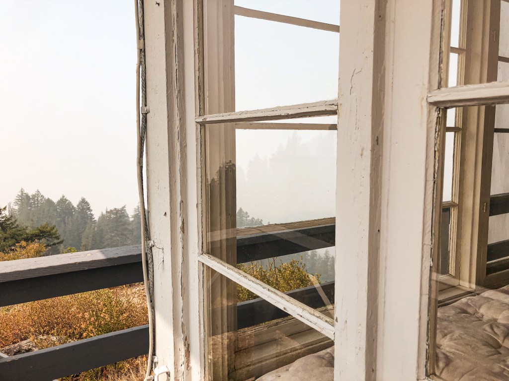
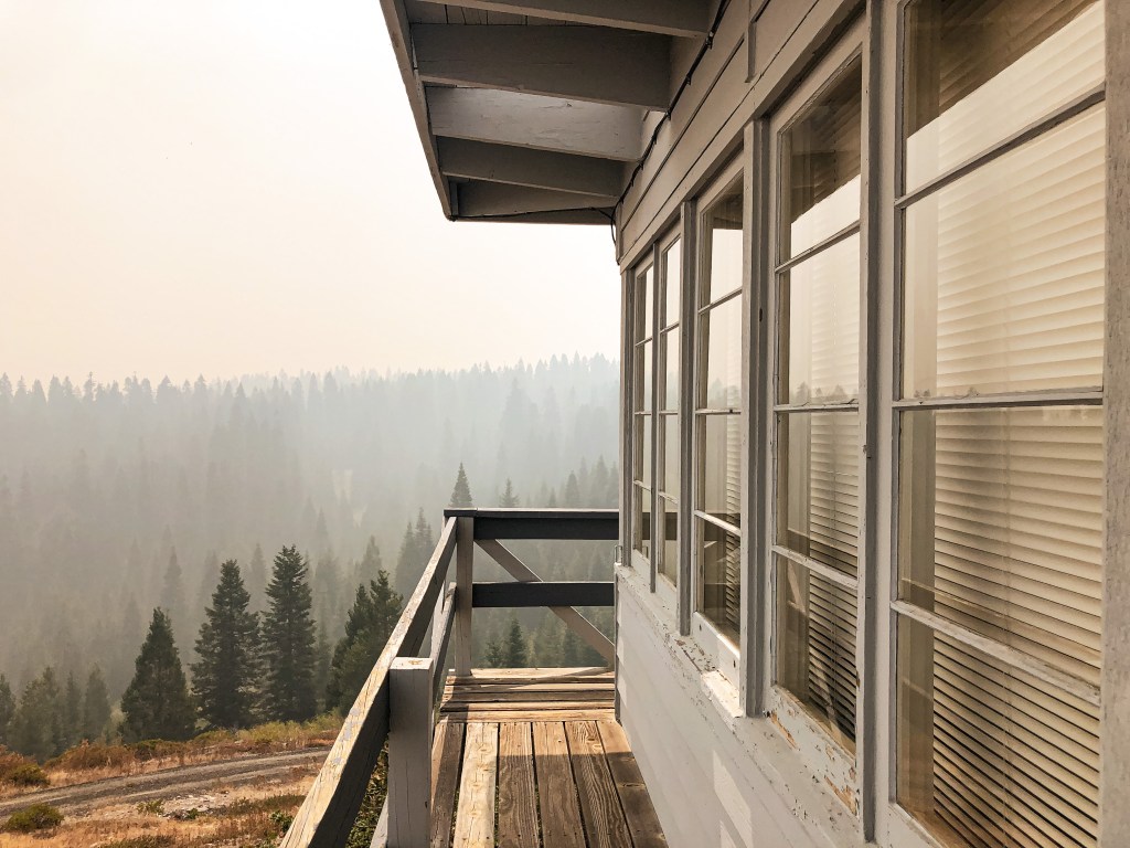
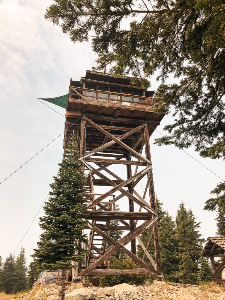
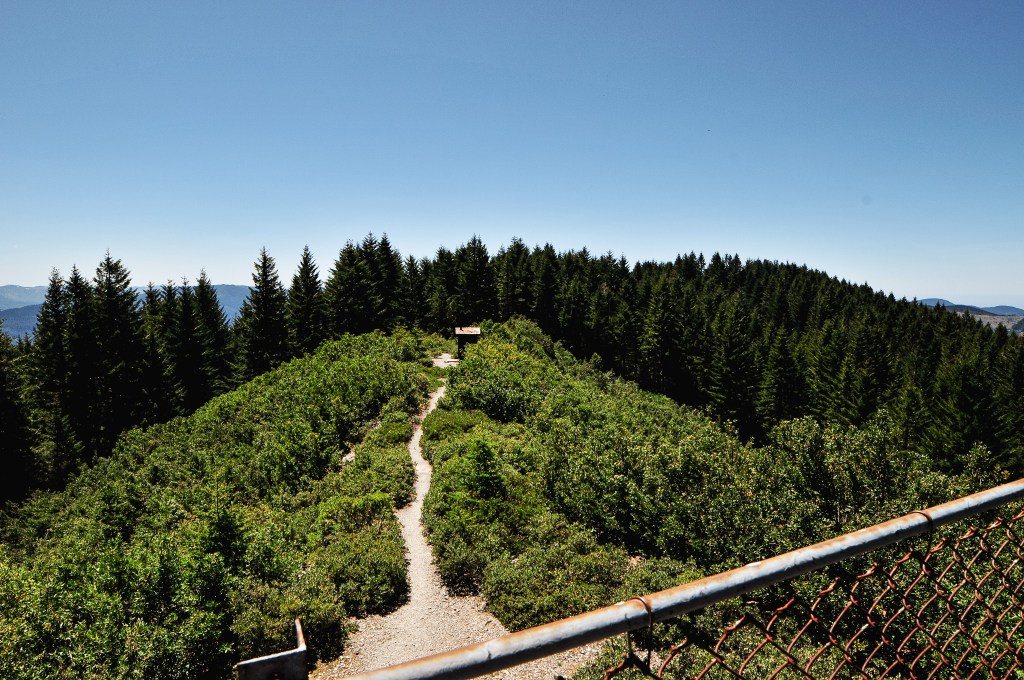
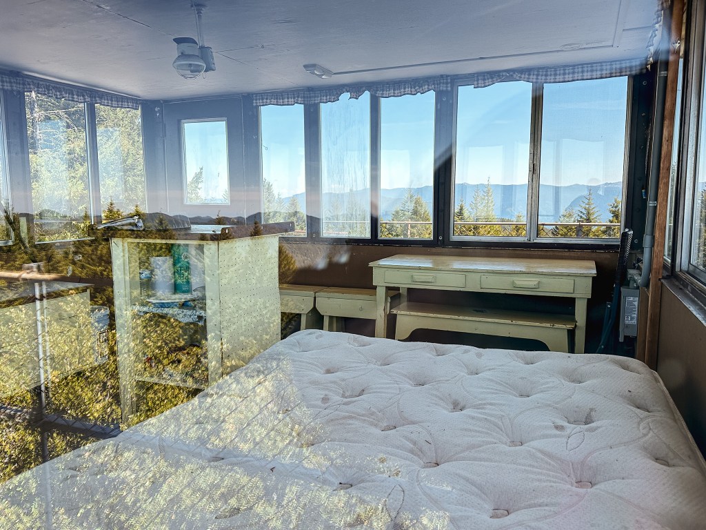
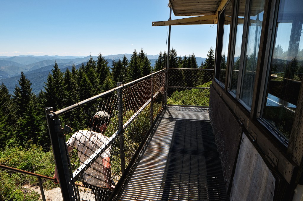
The road beyond the gate was in fairly good condition minus the final pitch towards the tower which would be hard to navigate in a lower clearance vehicle. We almost felt like we were on the wrong road as it started to head down before heading up again. It feels like a trick anytime a lookout road angles down instead of up since you’re usually aiming for the highest point. We reached the summit before the group of four. I guess the teen they had in tow slowed them down. I’m usually the slower hiker in comparison to most. There was also no vehicle here indicating that there were no renters or they had already left for the day. We quickly decided to try and get the pictures we wanted first before anyone else joined us. Afterwards we settled in to eat our lunch in the shade of the catwalk. It was too hot to sit at the picnic table directly in the sun. There was no trap door to block it off from access and luckily no renters were onsite for us to disturb. We called out a hello to double check before we climbed the tower. If there had been renters, we would have found a different lunch spot. The lookout itself might be on public land, but the structure is being rented out for private use.


The family of four made it to the summit shortly after we started our lunch. We briefly spoke to the grandparent of the group. They were locals from Agness and visited this fire lookout on occasion. She mentioned it hasn’t been rented out the past couple of years due to the Pandemic and she didn’t think it was being rented out this season either. But, the listing on Recreation.gov seems to be completely booked out for the season. The ranger we spoke with in Gold Beach also mentioned there would be renters here this weekend. I felt better about our decision to drive up via the NF-3336 road knowing they were locals and had came up the same route. They didn’t have much with them, besides a diet coke and an empty Gatorade bottle, and didn’t stay very long before heading back. We took our time before following suit. We hung a left to continue North on NF-33 towards Bald Knob L.O. after making it back down NF-3336. We still needed to find a camp for the night and hoped there would be something along our route.
History.
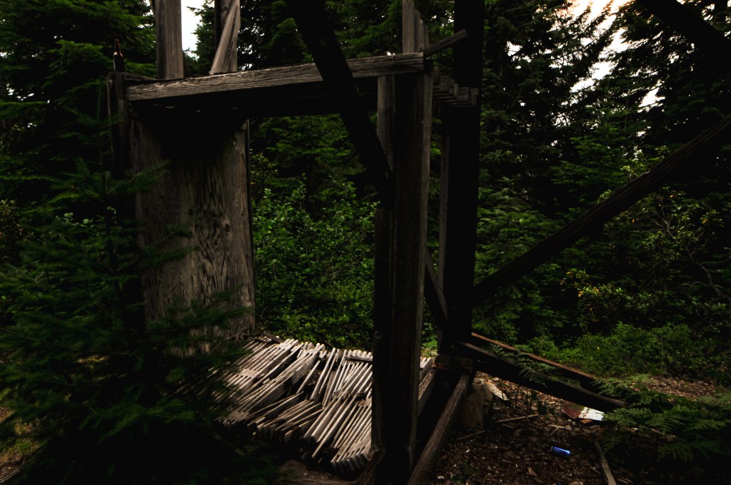
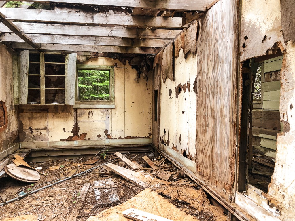
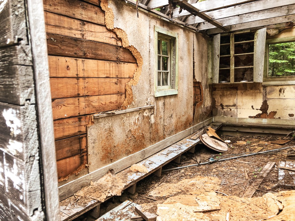
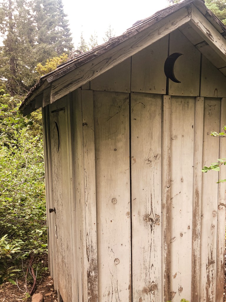
The existing tower for Lake O’ Woods was moved from the nearby Barklow Mountain in 1974. It was flown 12 miles via an air-crane helicopter that was owned and operated by the Erickson Air-Crane Company of Marysville, CA. The company was logging in the district that the lookout structure was moved to. It was set atop a 8′-12′ steel tower and had extensive remodeling done after its move. It was originally built on Barklow Mountain as a ground cabin sometime between 1955 and 1957. There seems to be conflicting information on what the steel structure is classified as though. It looks similar to a CL-100 series structure to me which is what it is noted as on Ron Kemnow’s website. The NHLR notes it as a CL-160 metal flat top while the Forest Service’s website labels it as an R6 flat-roofed cabin. It was actively staffed from 1974 until 1996. It is now apart of the rental program. Prior to this their was a 14’x14′ L-4 ground cabin built in 1933. But, the site was first used for fire detection regularly in the 1920’s. The lookout used to live in a shake cabin and would lookout from a crows nest in a fir tree on the ridge. The fire finder was mounted in the open.