Location.
Umatilla National Forest
Status.
Active; Currently standing
Estimated drive time from Portland, OR.
6 hours
Date visited.
September 16, 2022
Elevation.
5,229′
National Historic Lookout Register.
US 604; OR 105
Trip Report.
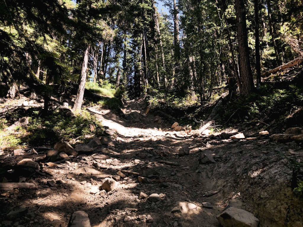
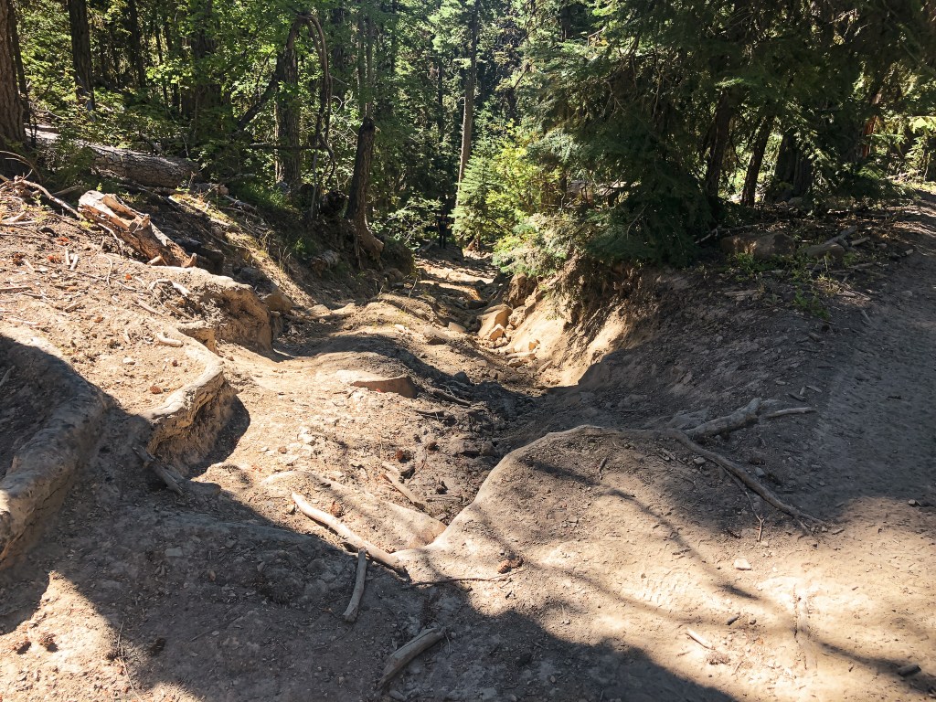
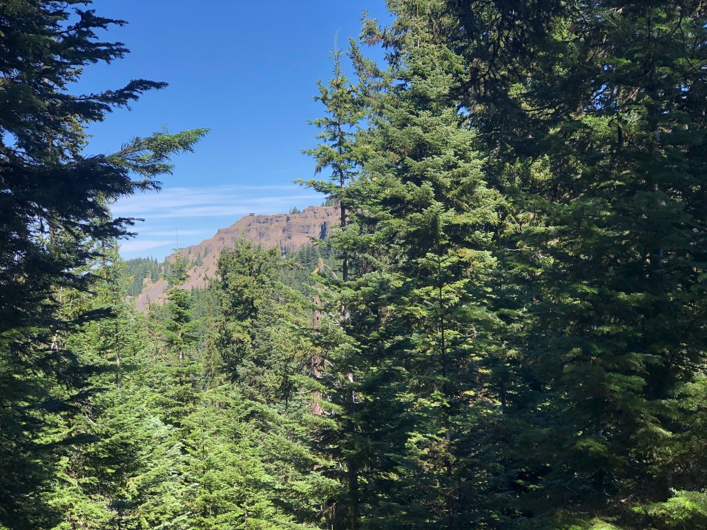
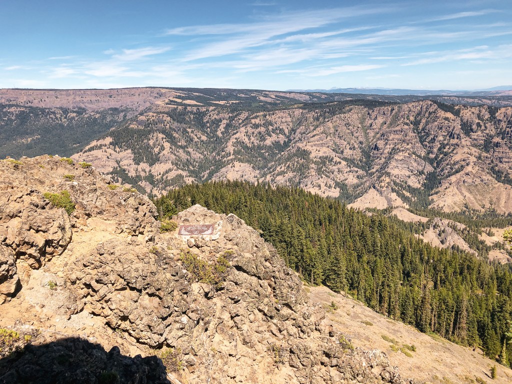
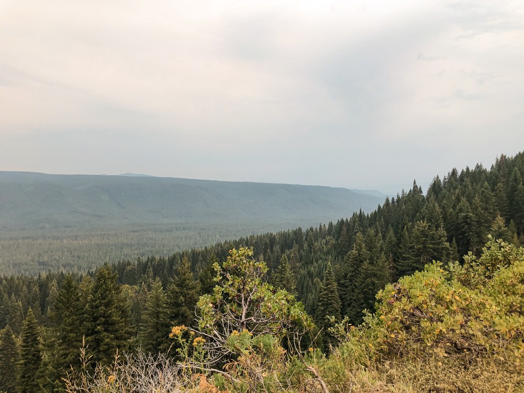
We headed down Whiskey Creek Road from Tope Creek L.O. towards HWY-82. Instead of turning back the way we came on Jim Town Road, we stayed on Whiskey Creek Road to meet up with HWY-82 in Wallowa. The directions we had for Howard Butte L.O. were part of a loop driving tour the FFLA Western Conference was planning on hosting Sunday. This meant we would be coming from the opposite direction mentioned which really only mattered for where the turn off would be along HWY-82. Once we made the turn-off the directions would be the same. We were also not going to be able to stay all day Sunday for this part of the lookout tours, so it was nice that we had time to see some others while here. We turned right onto Yarrington Road which was around 6 miles outside of Minam. The directions said it turned into county road 49 after 3 miles, but it seemed like we just stayed on the same road for roughly 12 miles. This road dropped down to cross the Grande Ronde River over a bridge and met up with Moses Creek Lane that took us to Palmer Junction. At Palmer Junction, there is a paved road that leads off to the left while the gravel continues off to the right. We kept right to stay on the gravel. As we were continuing on the gravel the road forked, this wasn’t mentioned in the directions but it looked like the fork to the right lead to a private residence. The left fork headed up which is typically a good sign when trying to reach a fire lookout and we continued in that direction. The last note on the directions mentioned that there should be a road that heads up the side of the butte to the lookout after 5 to 5-1/2 miles. It didn’t mention what side the road would be on or how far up from the road it would be. That made us assume it would be an obvious junction. After a while of driving, we realized it was getting late and that we wouldn’t make it back in time for the dinner. We also got the sneaking suspicion we were on the wrong road. We stopped after seeing a road marked with a Forest Service road number. Howard Butte is on state land and wouldn’t be marked as such. We decided to re-orient ourselves on a map.
The map we had confirmed our suspicion, we were pretty far off track for getting to Howard Butte L.O. now. We should have forked to the right to head down and across the Grande Ronde River again instead of heading up. We were kicking ourselves for not having the map open while trying to navigate. We had a few options now. The first was to scrap the plan and try to head back to make the dinner at the VFW post. Though it would be unlikely that we would make it back in time. The second was to back track to the correct turn and still try to get to Howard Butte. The third option was to continue further into the forest to reach Lookout Mountain and possibly Hoodoo Ridge too. We had gone far enough off track that we were fairly close to Lookout Mountain now. We figured we could try to stop somewhere, like Terminal Gravity Brewing, in town for dinner with the two latter options. We both agreed Lookout Mountain was the more appealing option and we’d be back in the area to visit Howard Butte some other time.


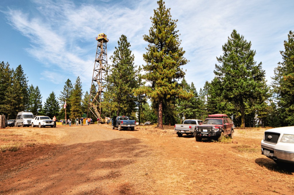
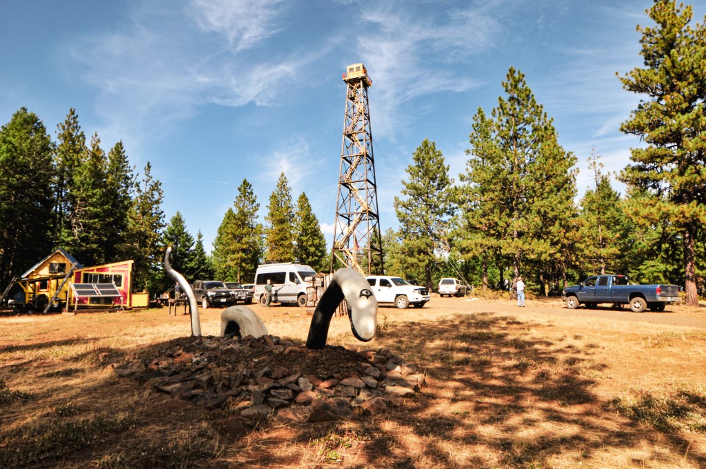
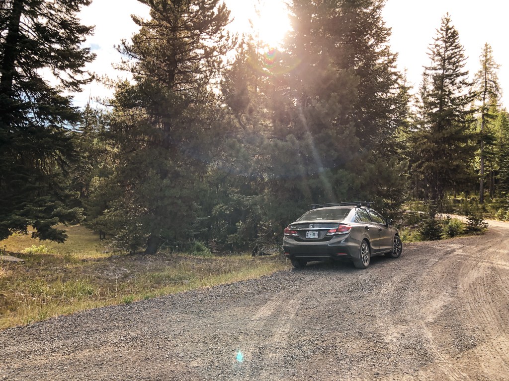
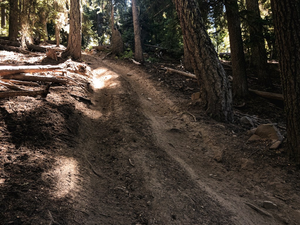
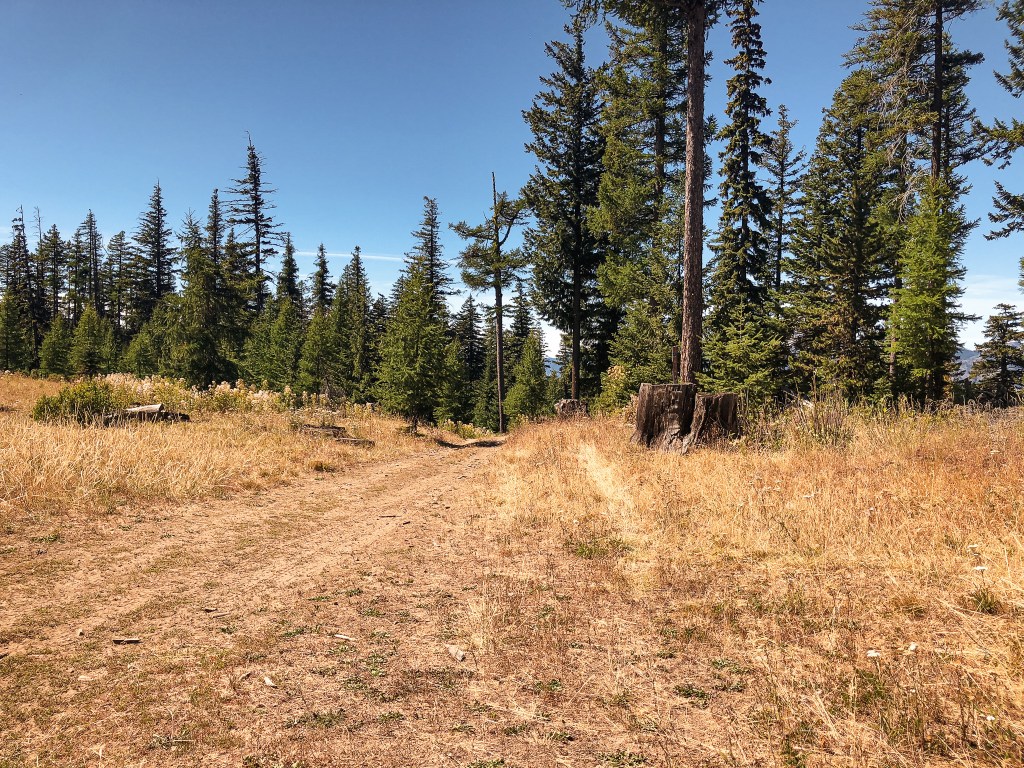
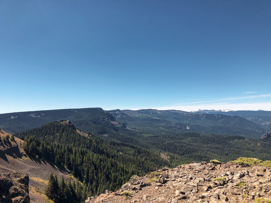
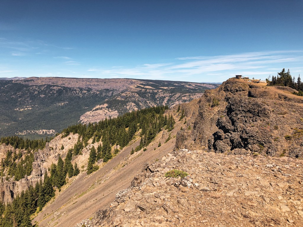
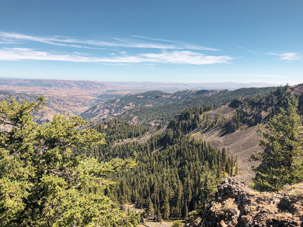
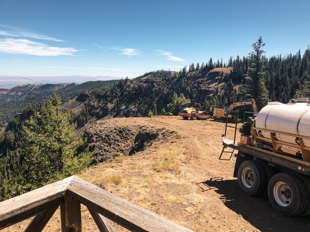
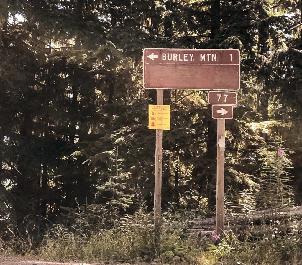
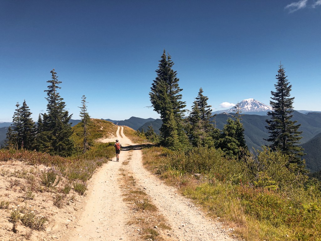
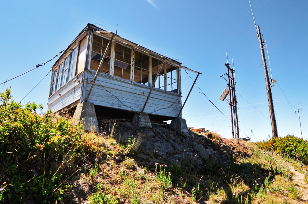
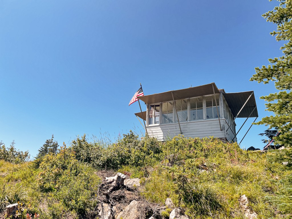
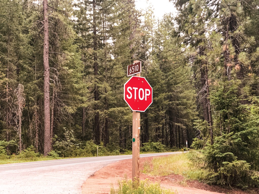
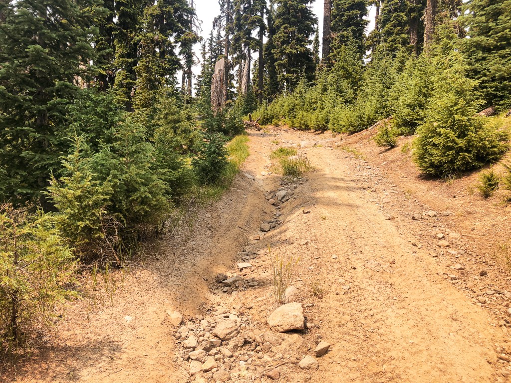
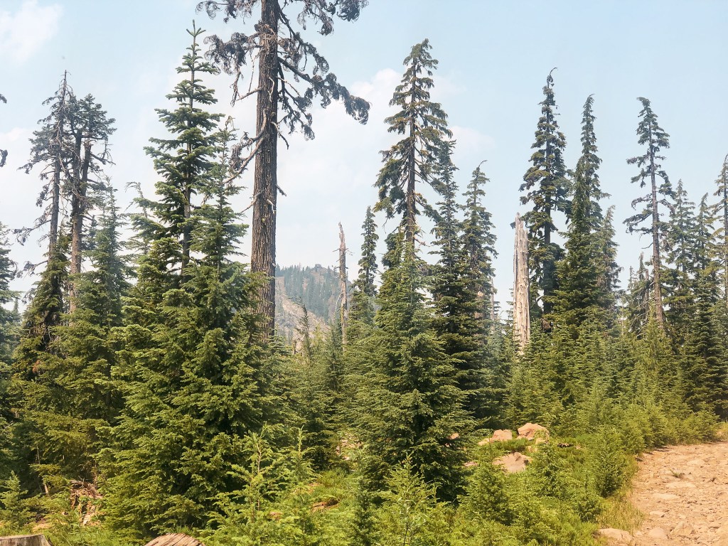
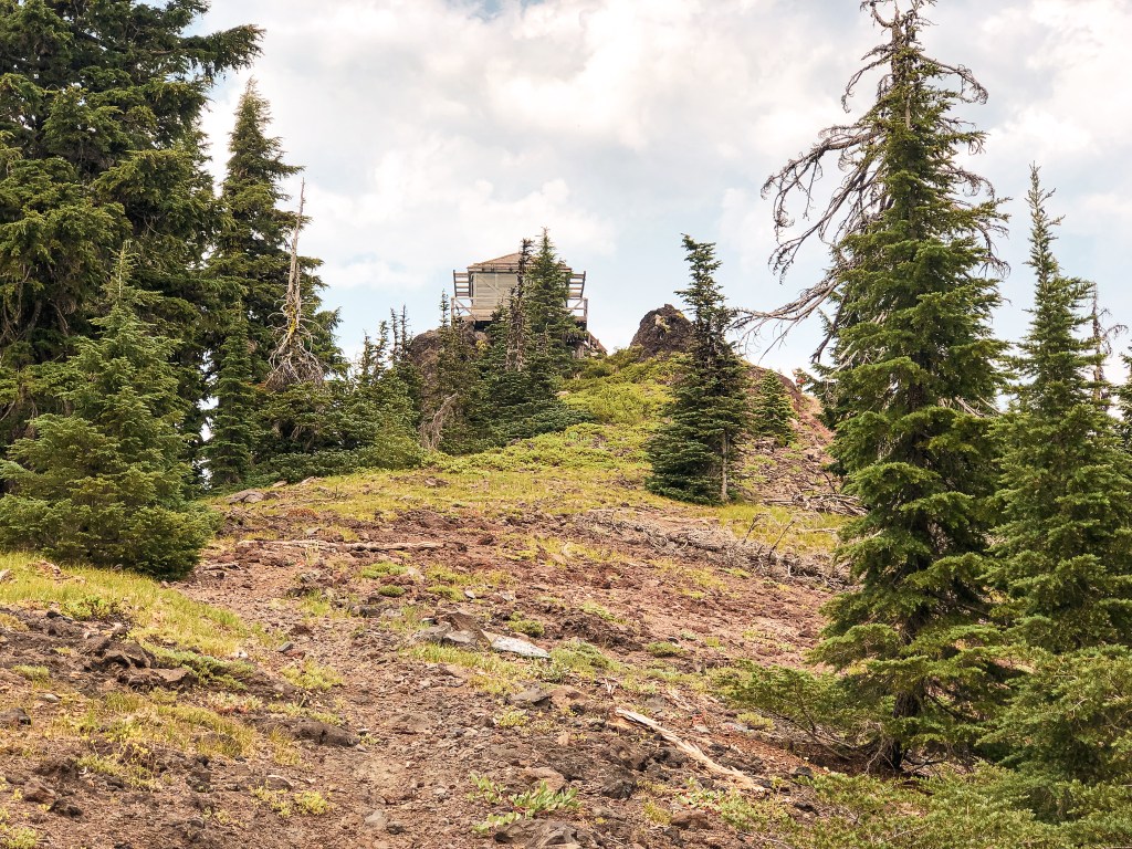
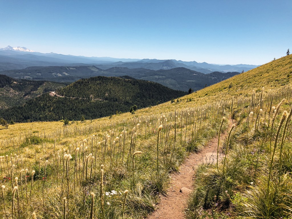
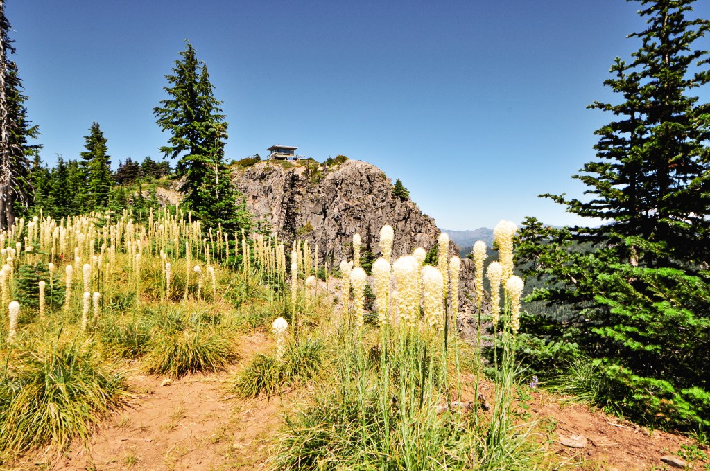
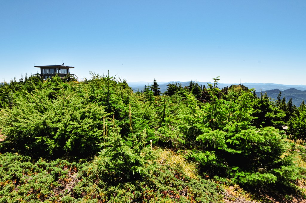
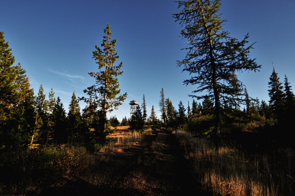
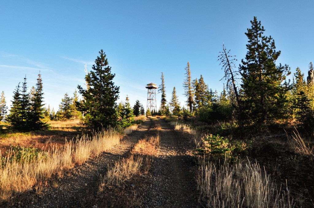
We continued on what was now NF-6231 with our new objective in mind. We stayed on this road until we reached a large four way junction with NF-62 and turned right. The map we had pulled out was the recreational forest map instead of our usual ranger district map. This showed Lookout Mountain being located right off NF-62 and we figured we’d be able to see it from the road. This wasn’t the case, but I luckily saw a gated road with a “no parking” sign posted on it as the road we were on started to head down. We stopped in the nearest pull out and walked back to check it out. Upon closer inspection, there was also a Covid-19 warning sign posted from when all the fire lookouts were closed to public access. We knew we had found the right road and started walking. This is NF-370 if you have a more detailed map, but I didn’t see any sign for it while there. The gate is recessed from the road as well so it could be easy to miss if you’re not paying attention.
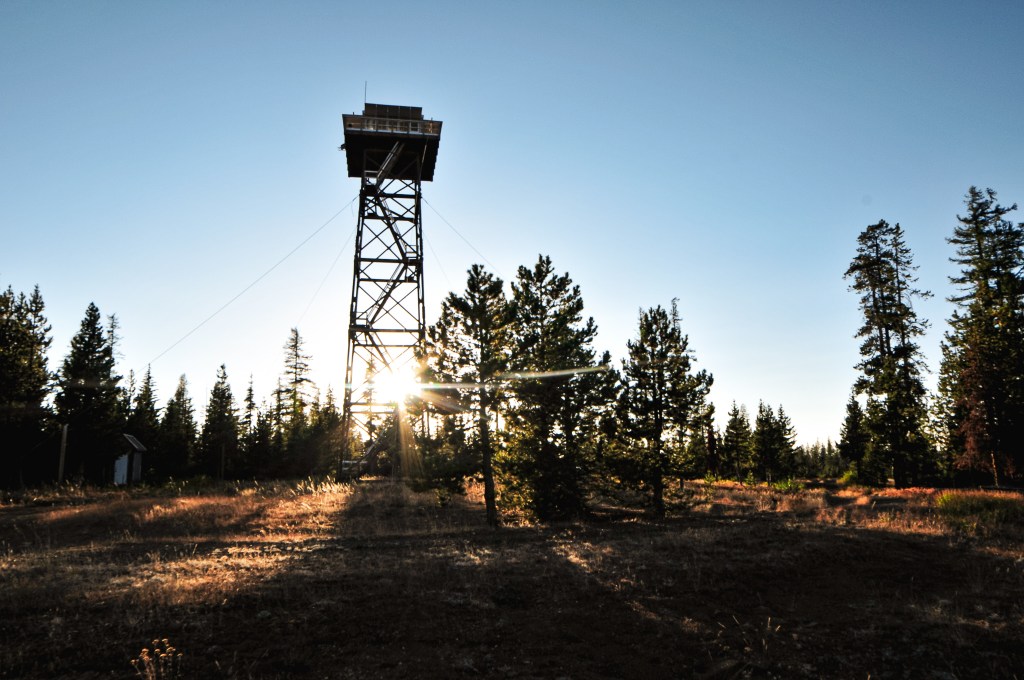

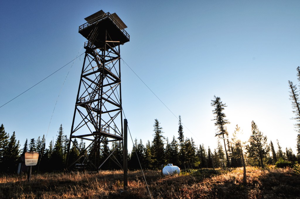


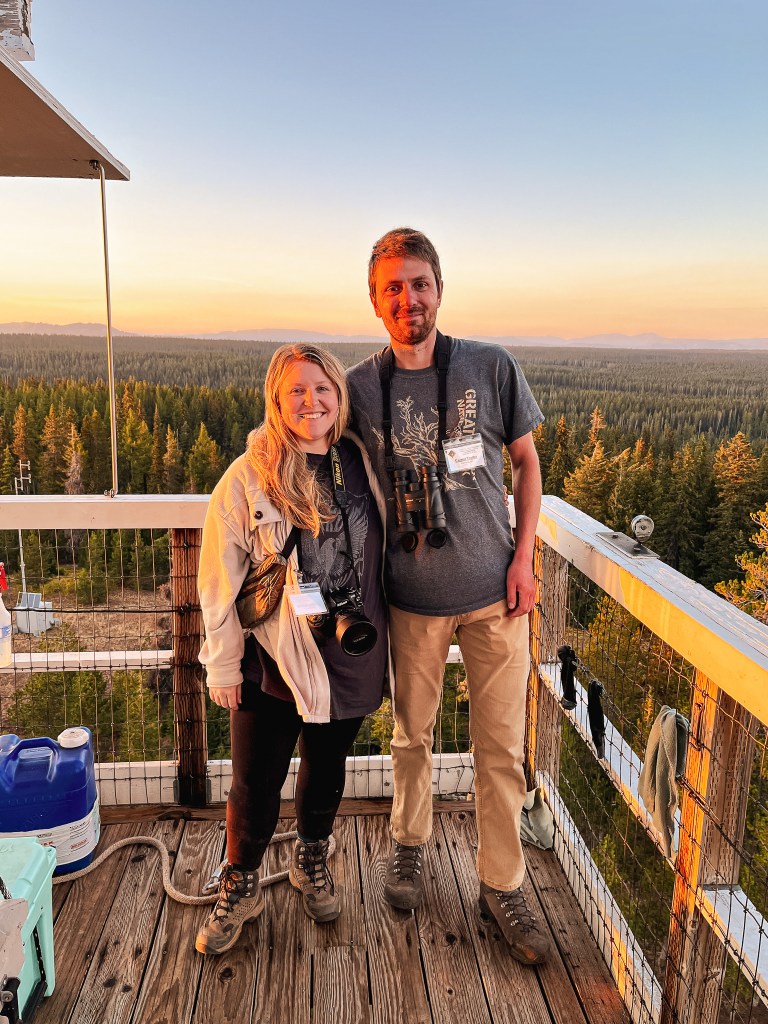
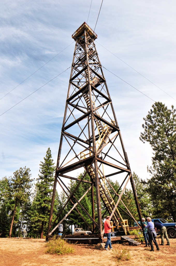
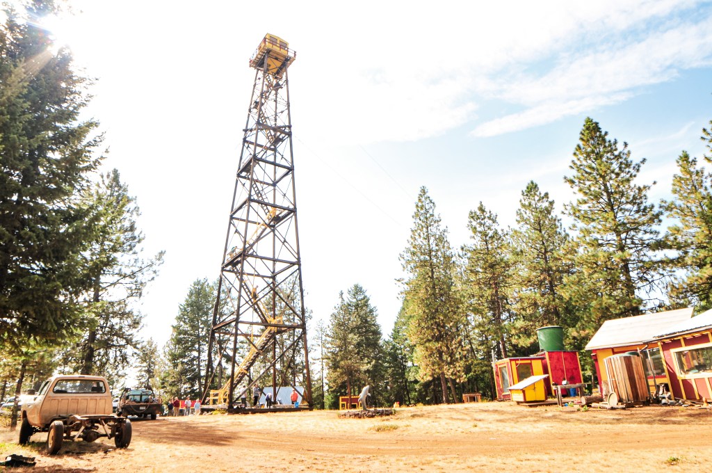
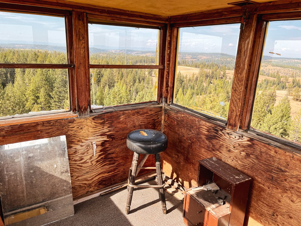
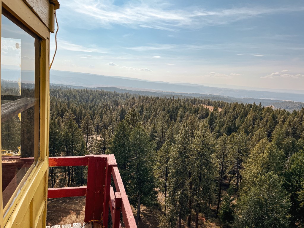
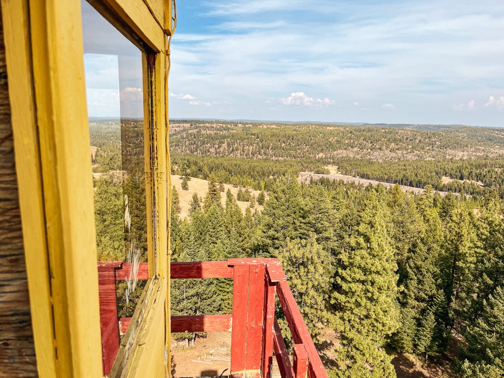
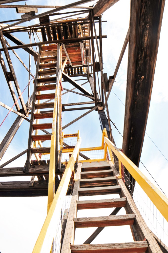
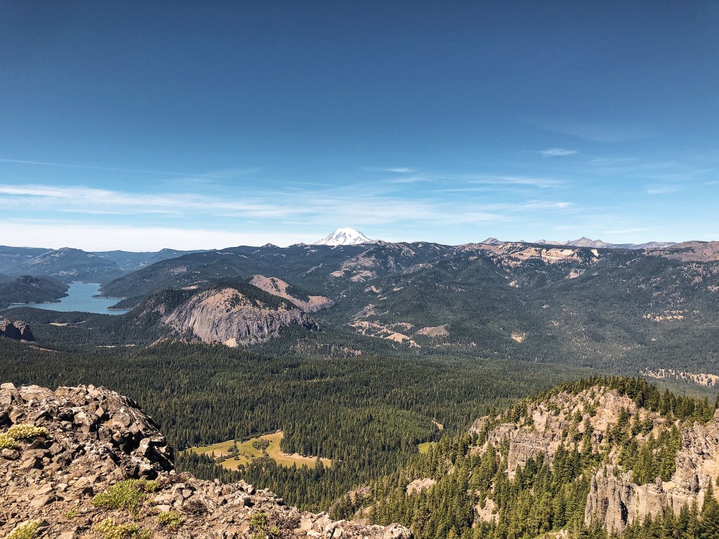
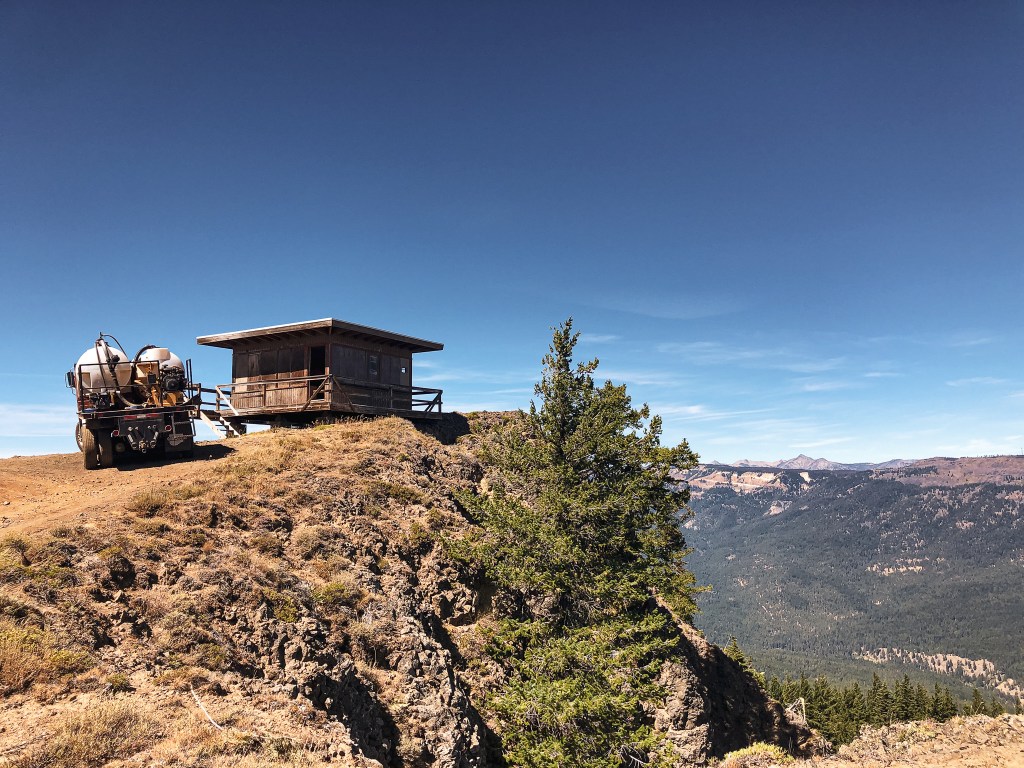
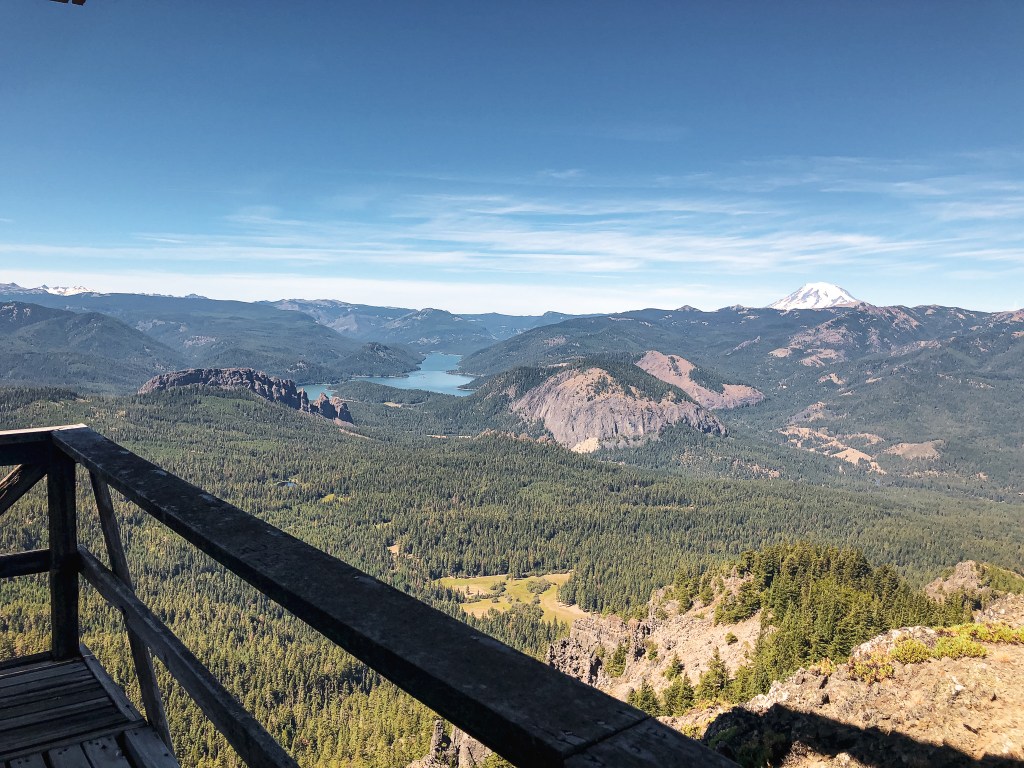
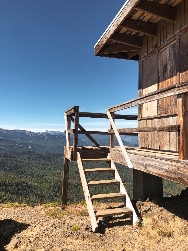
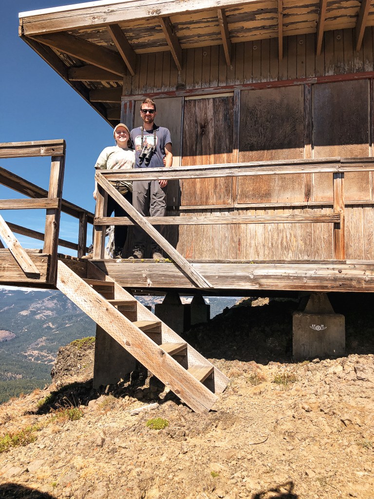
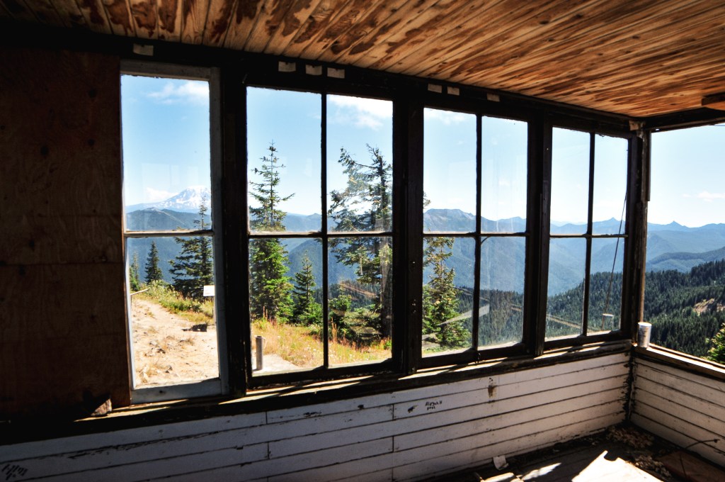
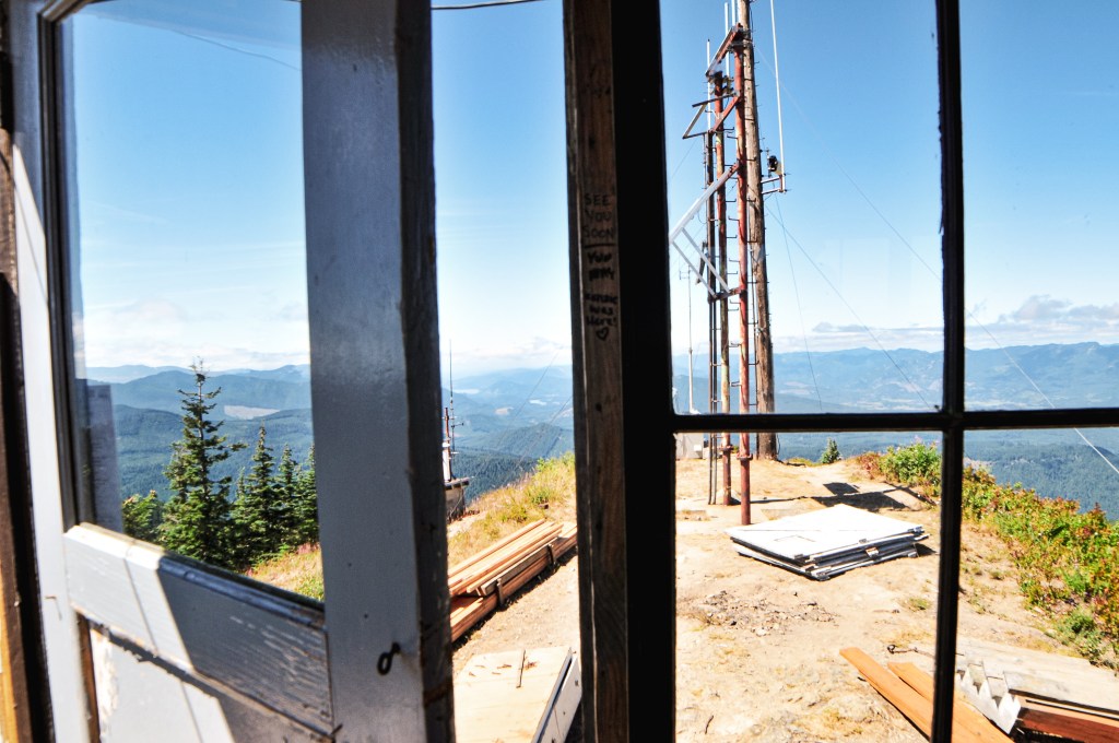
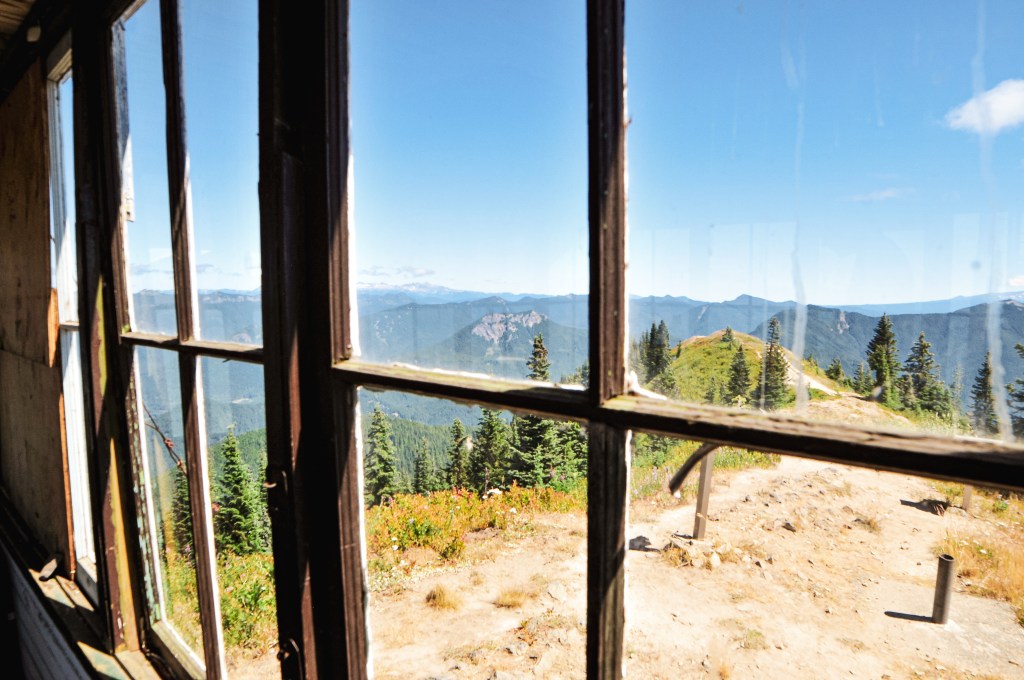
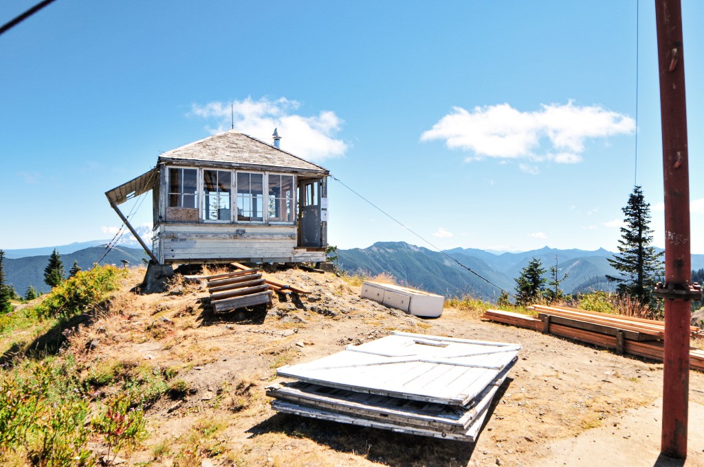
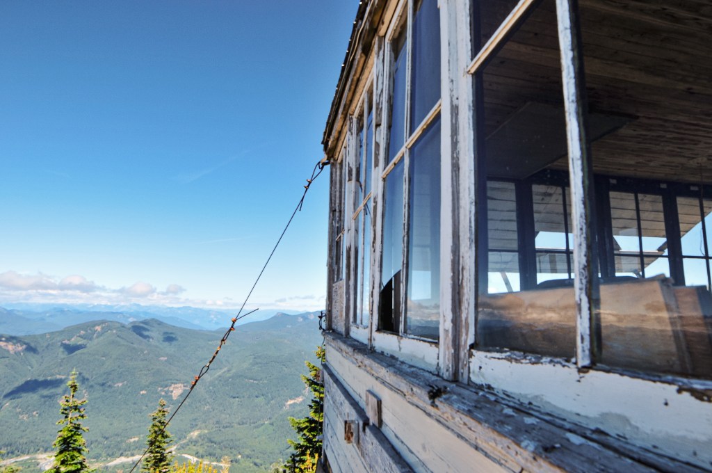
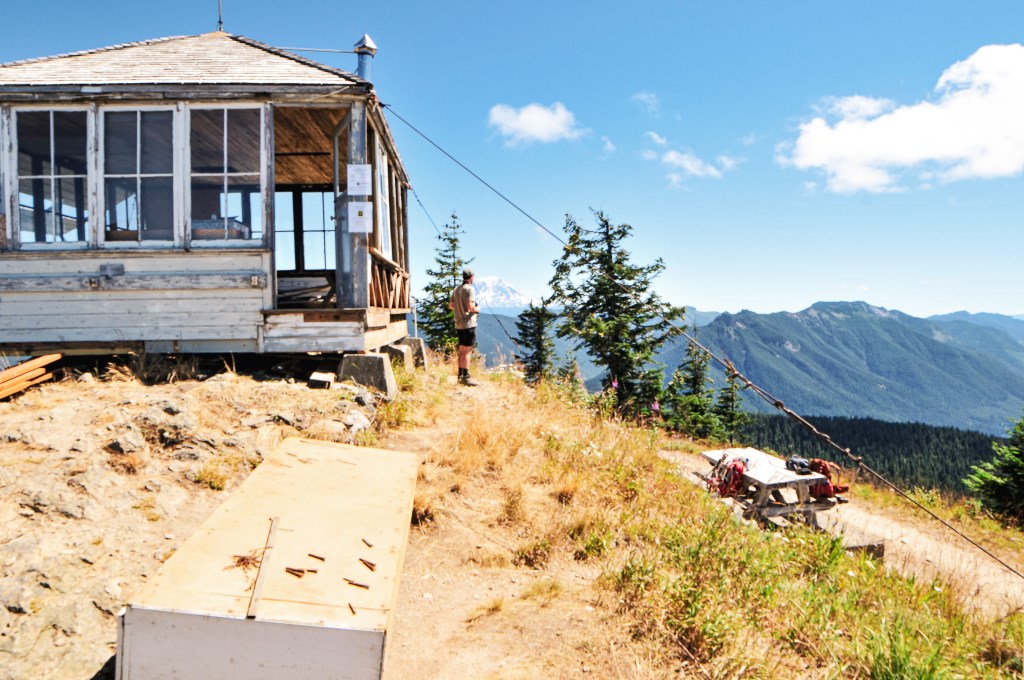
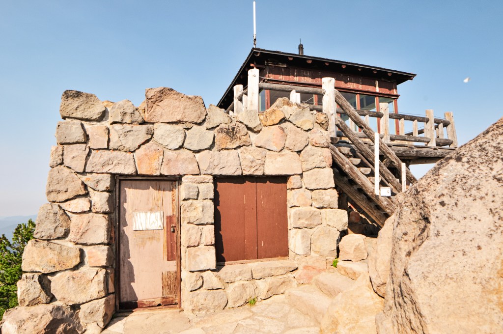
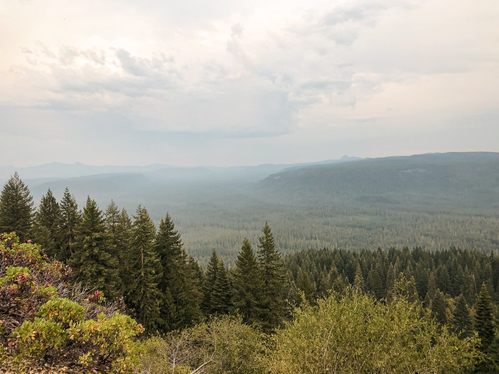
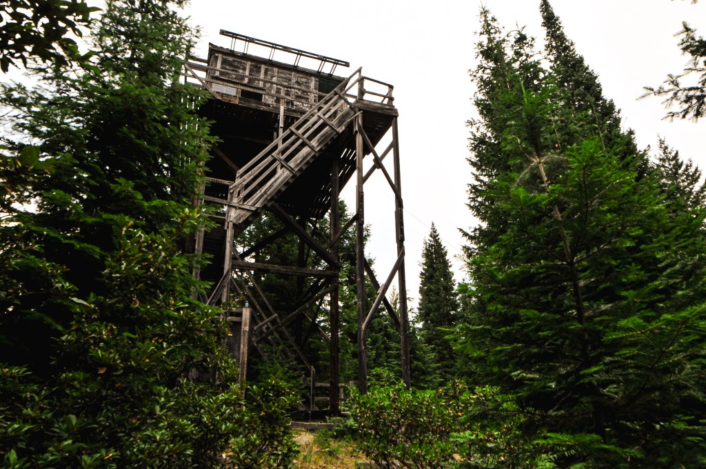
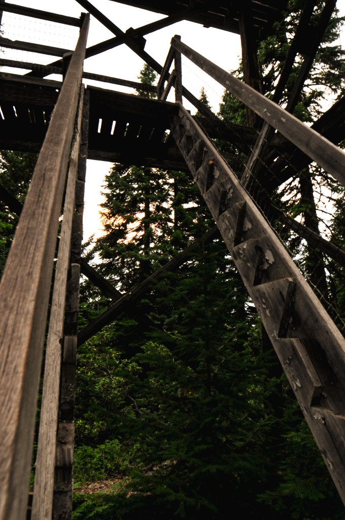
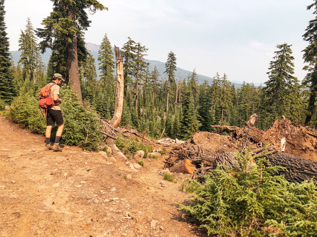
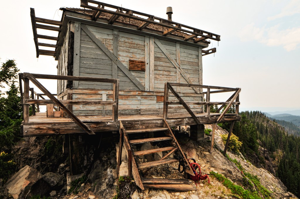
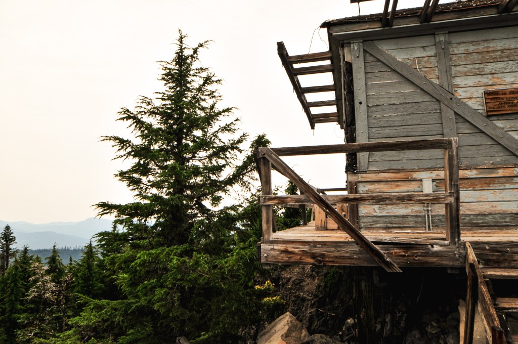
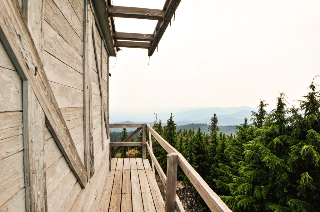
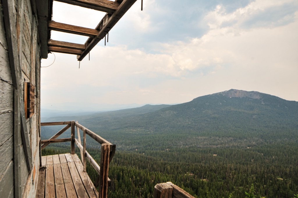
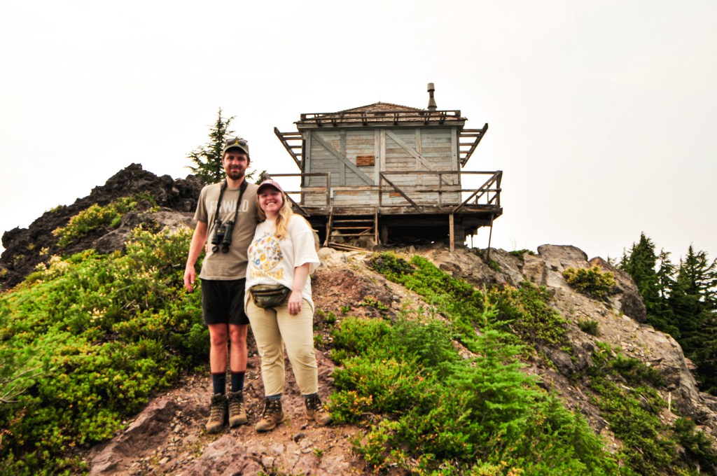
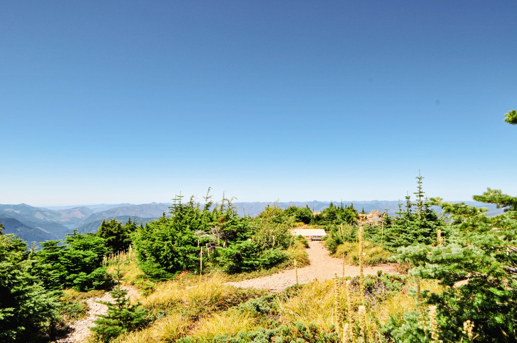
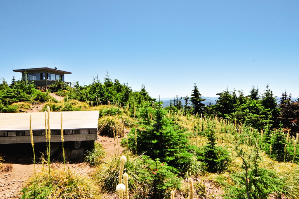
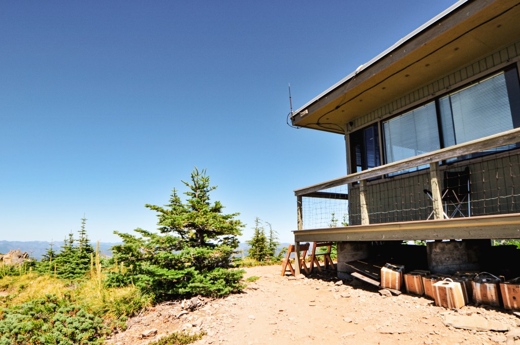
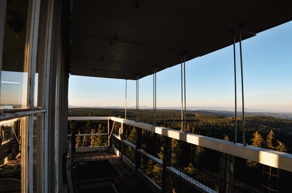
It was already late in the day, much later than we normally would visit a fire lookout. Especially, one that we know is actively staffed. It’s better etiquette to visit between the hours of 9AM and 5PM like you would a business. A reminder that this is their personal space and home for the season. We walked up with that in mind and the intention of only getting pictures of the tower from the ground. The lookout attendant was on the ground working out with a punching bag when we walked up. We gave him his space while we took some pictures and looked at the view. He eventually noticed us and we gave him a wave. He stopped what he was doing and walked over to us to chat. He said he saw us when we first walked up but assumed we were just hunters until he noticed the lack of guns and my camera. He offered to let us climb the tower and take a look around. We told him we didn’t want to impose, but he said it was no problem. This would be the tallest tower I’ve made it to the top of with no issues to date. We talked with him for a while about his background and experience as a lookout. The sun was starting to set and we didn’t want to bother him for too long. We thanked him for his time and headed back to the car.


Before we had left he mentioned the easiest way out was to head back down NF-62 and follow it out until we saw signs for Elign. We followed his direction and turned at the signs for Elign which landed us back at Palmer Junction. This was confusing to us since he said that we’d eventually meet pavement. We also didn’t want to go back the way we came since the road wasn’t great and it was already dark. I thought maybe he meant the paved road that lead out of Palmer Junction, but it only lead us to a dead end at the fish hatchery. We continued back on the gravel road we came from and decided to stay on Moses Creek Lane instead of crossing the Grand Ronde River. This turned out to be the right call as we soon found the pavement and were able to follow it out to Elign. Side note: I would recommend starting in Elign and taking this route to get to Lookout Mountain, it’s low-clearance compatible too. The unfortunate part was Elign is over 50 miles from Wallowa Lake State Park and we still needed to figure out dinner. We realized quickly most places were going to be closed by the time we reached Enterprise. We figured our only option would be to stop at a bar that was open later or head back to camp for the food we already had with us. We cased a few bars as we drove back but none struck our fancy. Eventually, we were too tired to even want to order and wait for food anywhere. We surrendered to the fact that we had plenty of food in camp and had a sad dinner of snacks when we finally got back after 10PM.
Lookout Matt
Matt has been a lookout attendant on Lookout Mountain for 14 seasons. He is from Montana and currently resides in the Billings area during the off-season. He used to live in Portland, Oregon and professionally ice-skated for a while. He also used to staff Bear Mountain L.O. in Idaho that required roughly 8 miles one-way of hiking to reach. He was struck by lightning once while staffing Bear Mountain. He said he had his elbow on the refrigerator when the tower was struck. It sent a bolt from his elbow down through his leg. No scars or major injury, but it did knock the wind out of him. He said a good way to tell a fire lookout has been more recently struck by lightning is to look at the copper wires. If they look shiny and brand new, they were most-likely recently stripped by a lightning strike. If he could staff any fire lookout, he would choose Mineral Peak near Missoula, Montana since it holds a lot of sentimental value and is where he grew up visiting lookouts.
History.
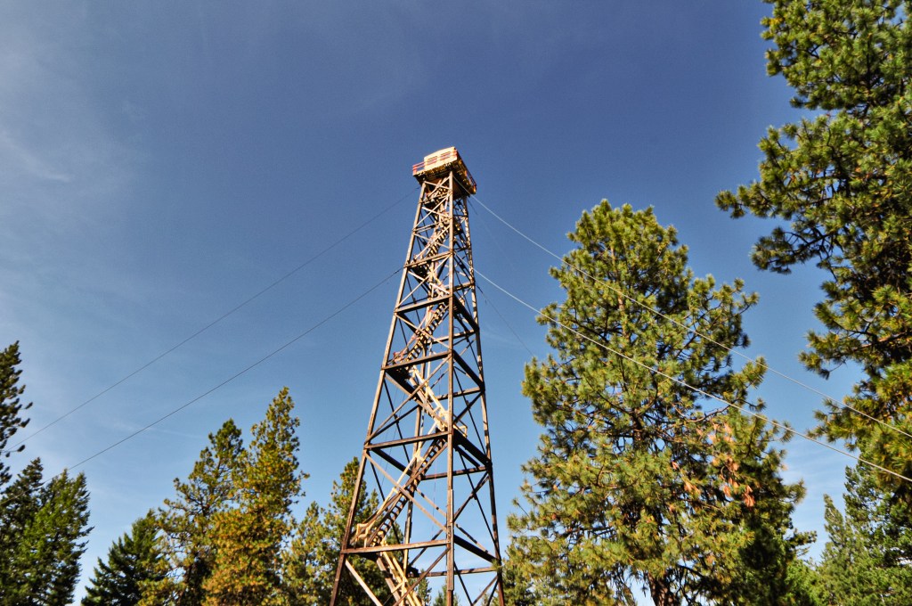
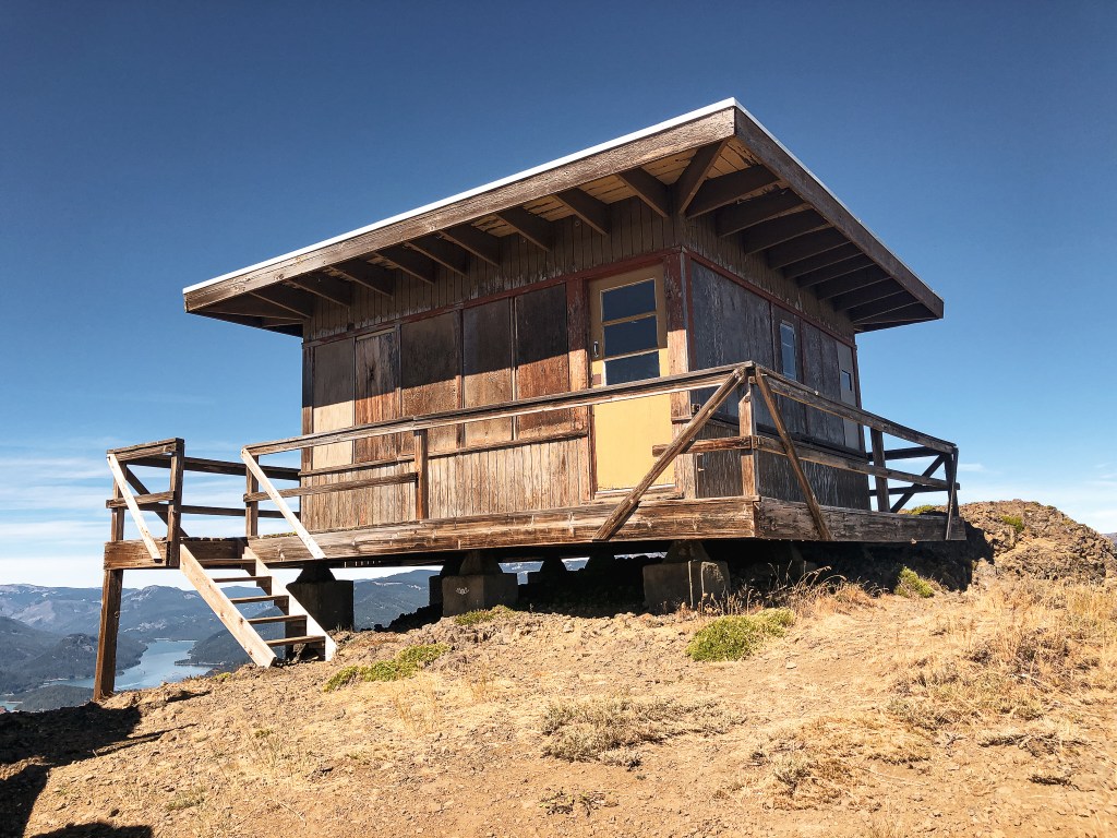
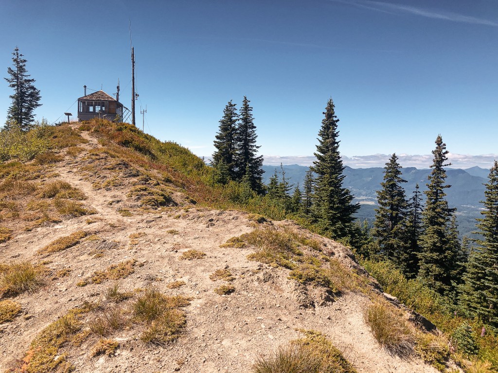
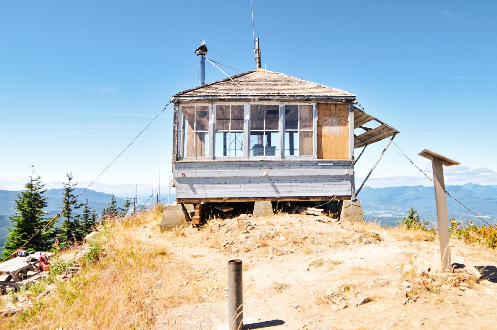
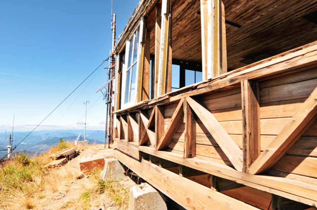
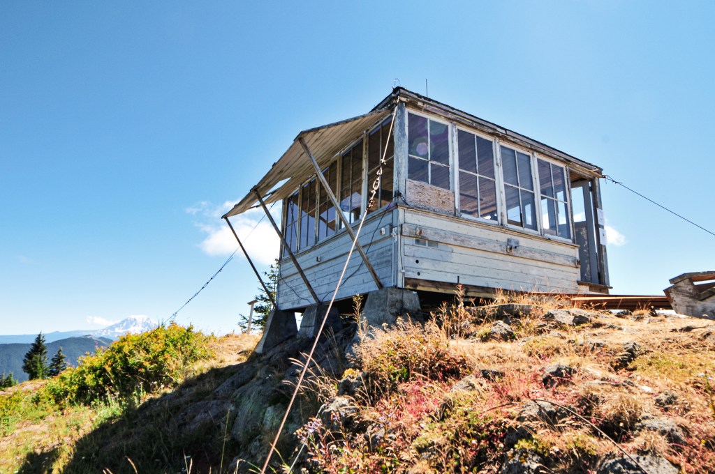
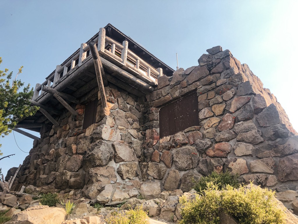
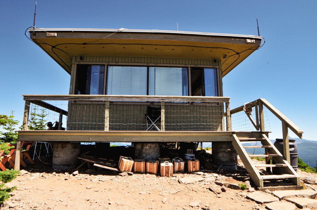
Lookout Mountain was first established with a 60′ round timber tower and enclosed observation cab in 1935. The existing L-4 cab with 87′ treated timber tower replaced this in 1948. A few sources list this as an 82′ tower, but there were two Lookout Mountains in this area at one time. One was 87′ and the other was 82′, I believe the latter was the height of the one that has since been removed. This lookout was actively staffed until 2001 when it sustained damage during a strong wind storm. It was deemed un-safe to staff upon inspection and the lookout on duty was moved to High Ridge L.O. while repairs were completed. Repairs and remodeling were made in 2004. A crane was used to lower the cab from the tower to make the work easier. It received a new roof, wider catwalk, new hand rail, and door during this update. The tower also received work on the cross braces, stair treads, and lightning protection system. It is now actively staffed every season again.