Location.
Wallowa County; Private property
Status.
Maintained; Currently standing
Estimated drive time from Portland, OR.
6-1/2 hours
Date visited.
September 17, 2022
Elevation.
4,813′
National Historic Lookout Register.
US 1184; OR 128
Trip Report.
The Saturday lookout tour hosted by the FFLA Western Conference was to Courtney Butte. This is another fire lookout located on private property and requires prior permission by the land owner to visit. Similar to the day before, we were expected to meet back at the VFW post after our lunch break around 1:30PM. Garnet and I made a point not to be late this time. We drove the HR-V this morning and only left the post to make a quick trip out to refuel. Otherwise, we brought and ate our lunch there. We were ready this time when the caravan rolled out almost exactly at 1:30PM. From the post, we all took a right to head out of Enterprise on HWY-3 towards Flora Junction. We stayed on this highway for over 30 miles through alternating sections of National Forest and private land. At one point we passed a junction that pointed left towards the community of Flora. My partner pointed this out and questioned whether that was our turn. The caravan had continued straight though, so we followed them instead. I nit picked at the written directions they had given us. I rationalized that it didn’t specifically say “turn at Flora Junction”, just that we needed to head towards it. I figured since we passed it we were looking for the turn to Courtney Butte Lane now. Eventually, the highway started to head steeply down the canyon towards the Grande Ronde River. It didn’t feel like we should be going this far, or down for that matter, but we continued to blindly follow the caravan. As we were half way down the grade, the head of the caravan pulled over to turn around. Oops! They did in fact miss the turn back at Flora Junction. We all quickly fixed our mistake and turned around to head towards Flora once again.
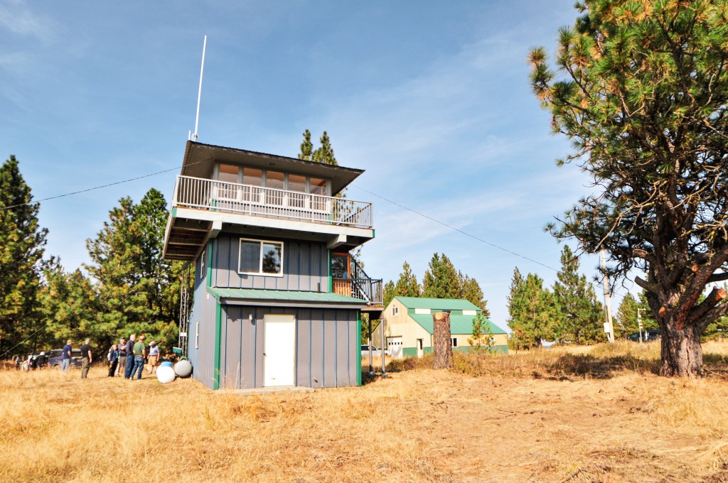
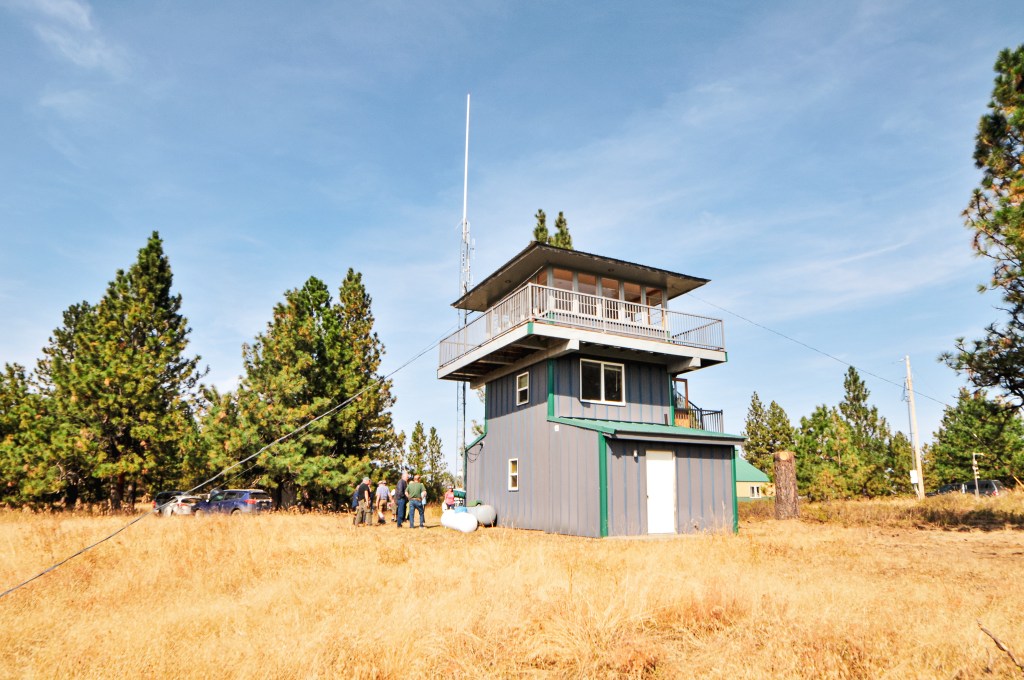

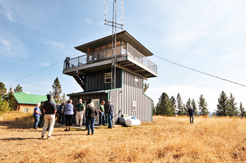
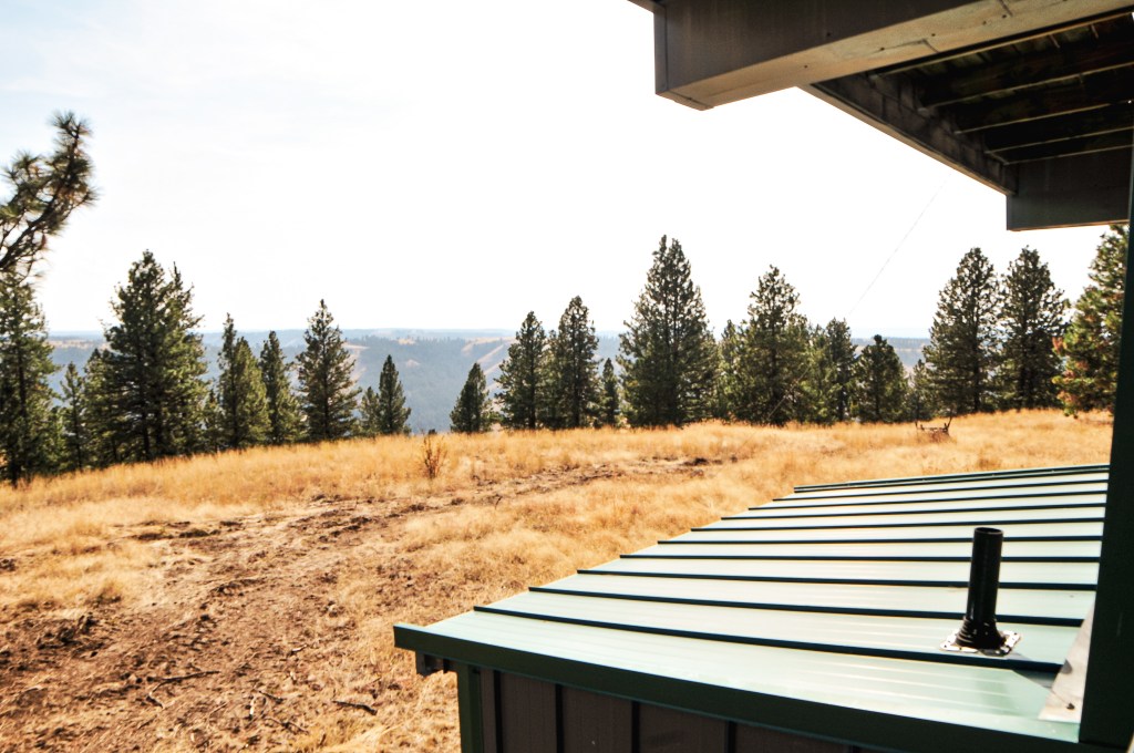
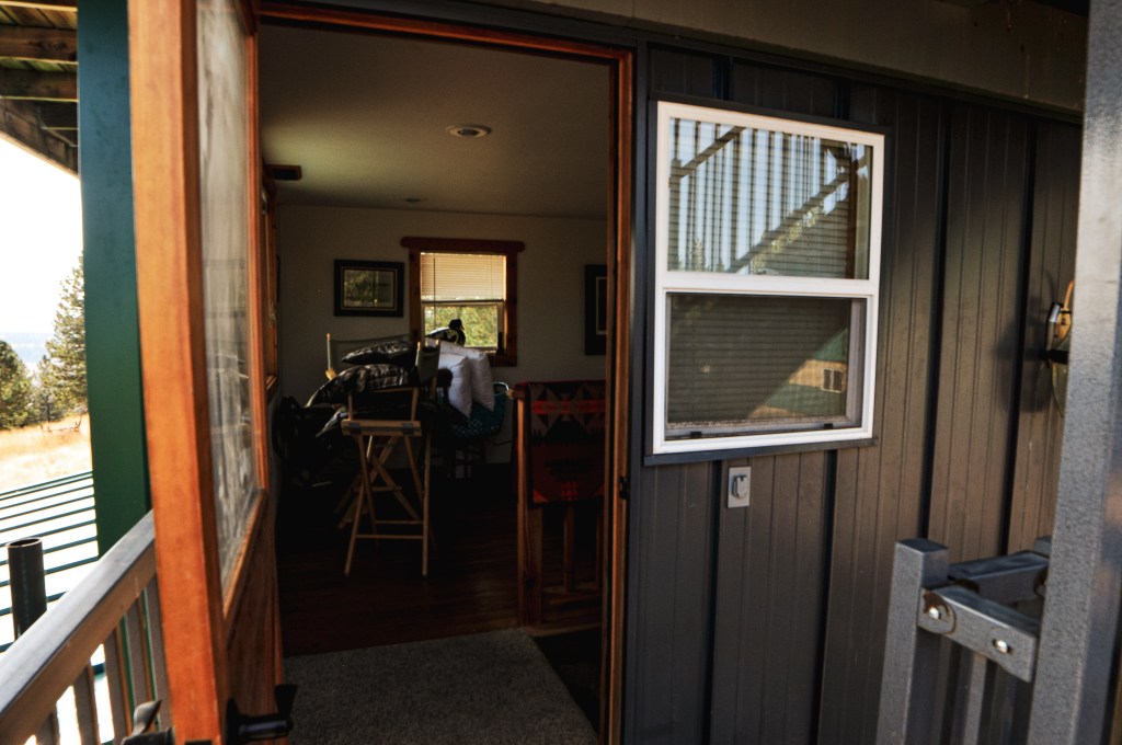
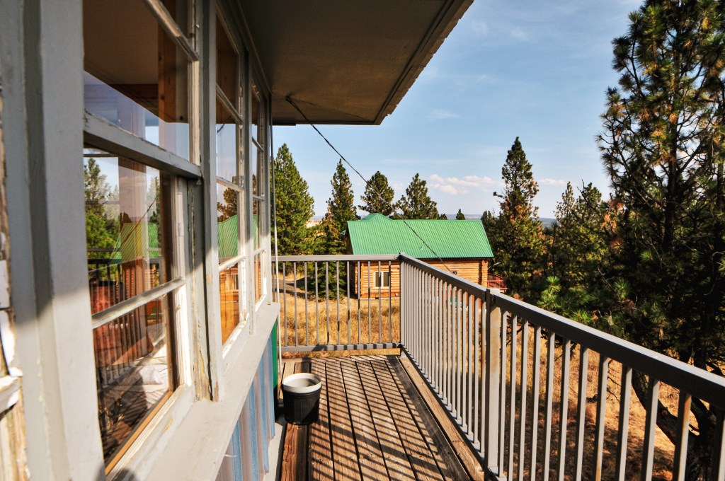

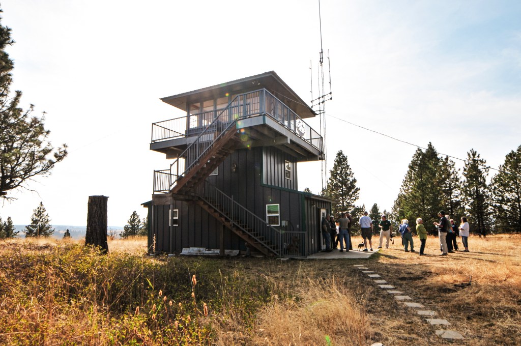
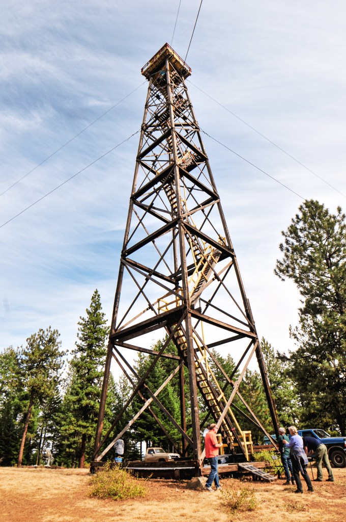
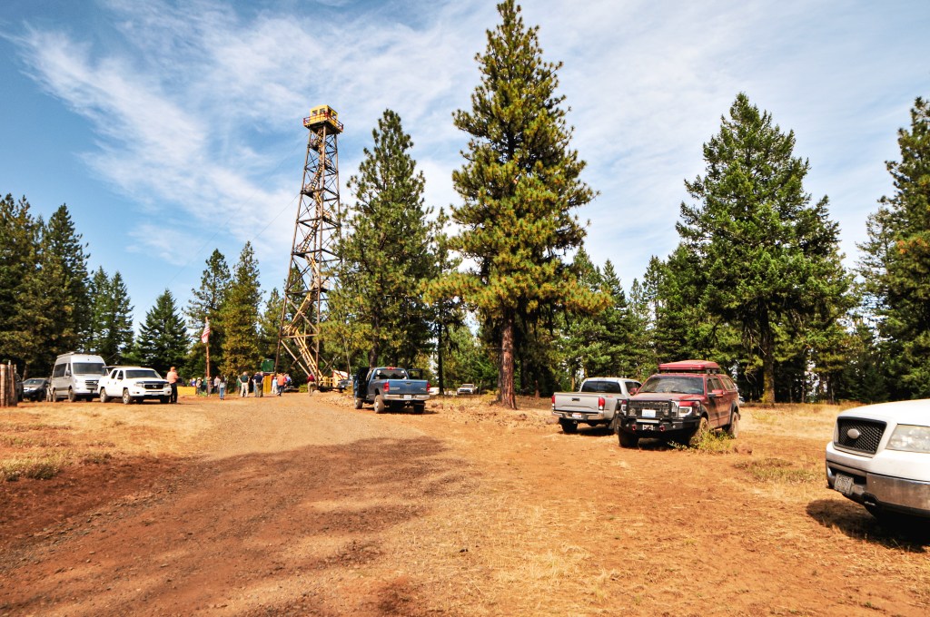
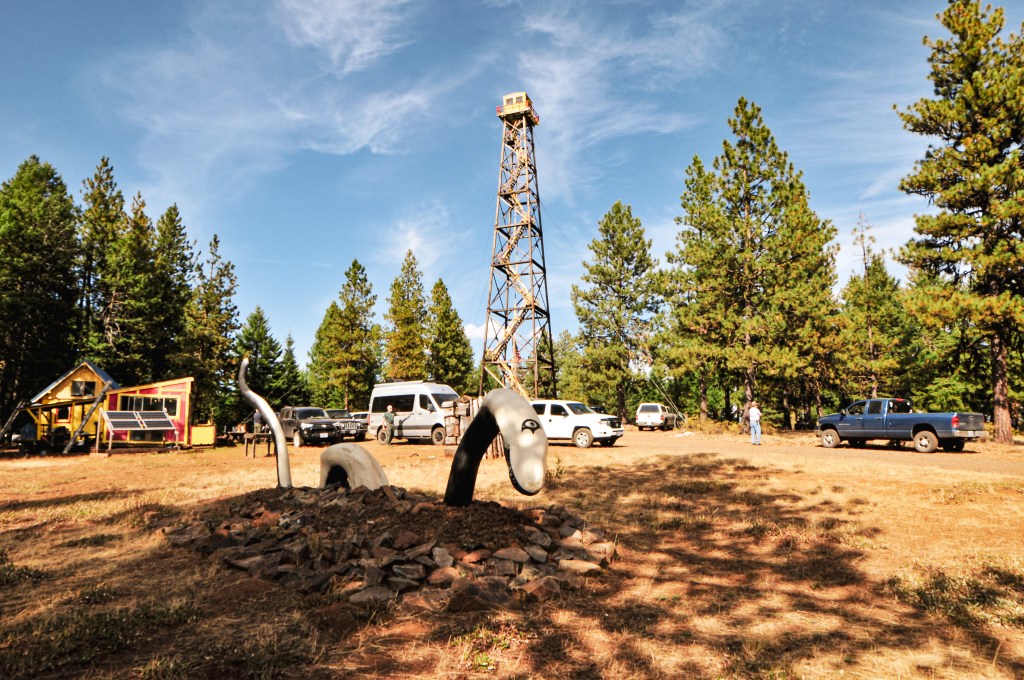
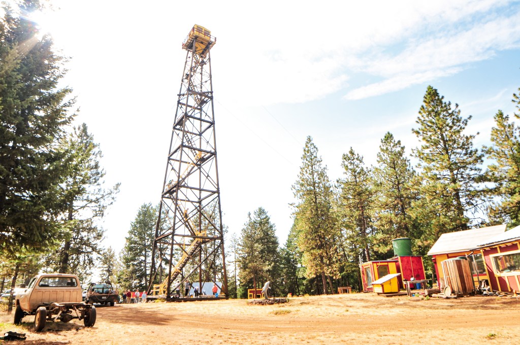
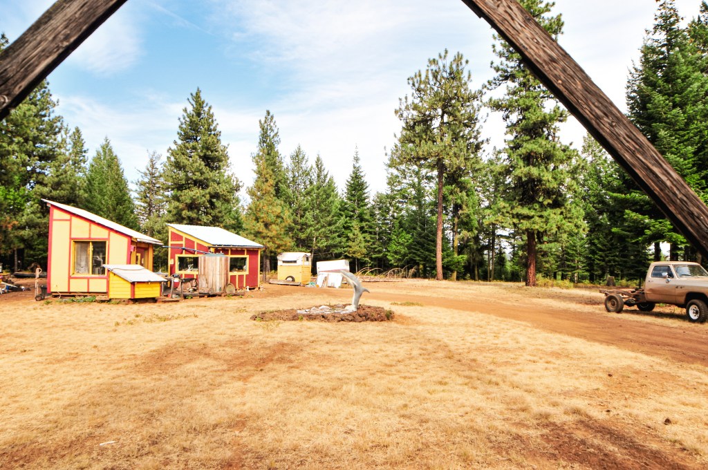
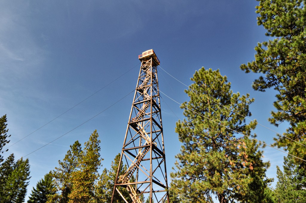
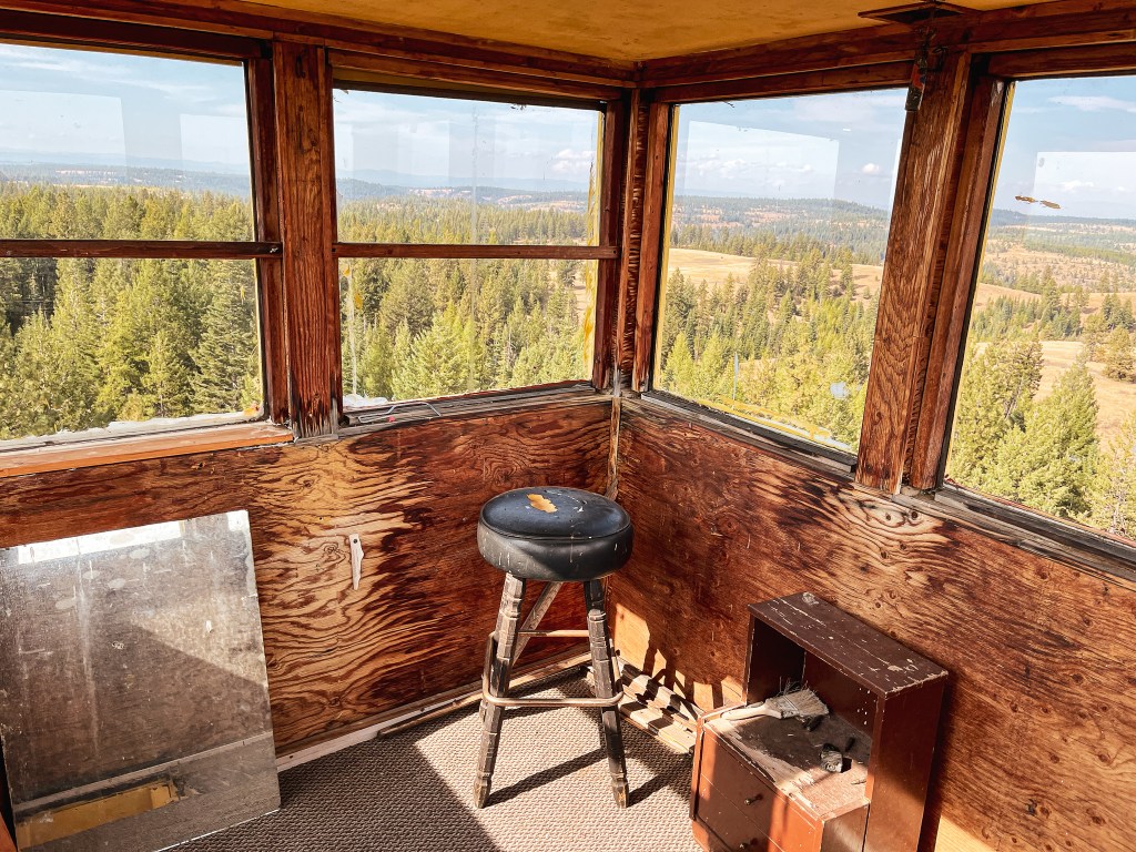
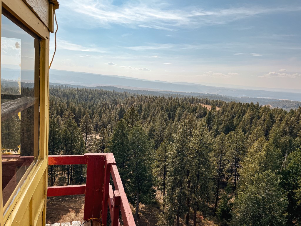
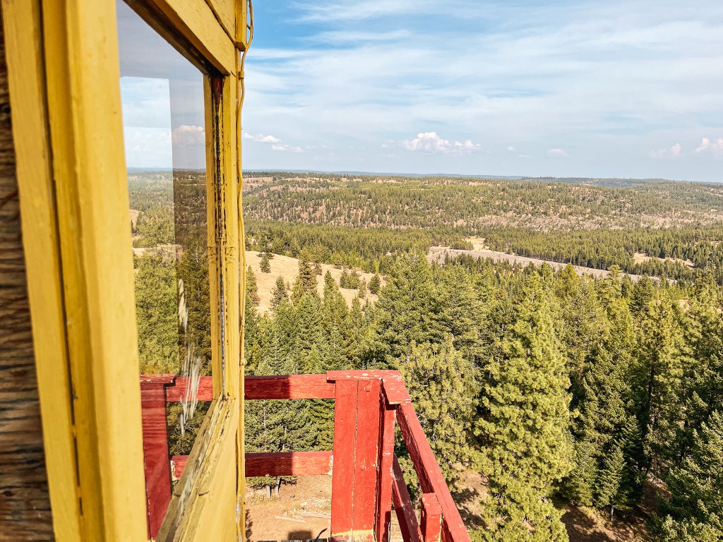
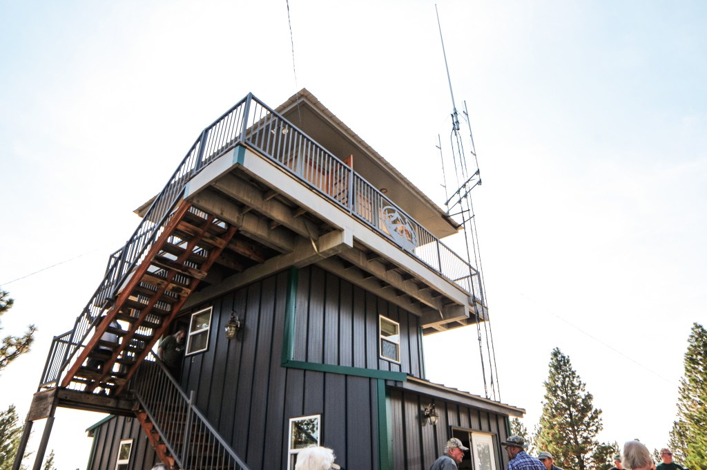
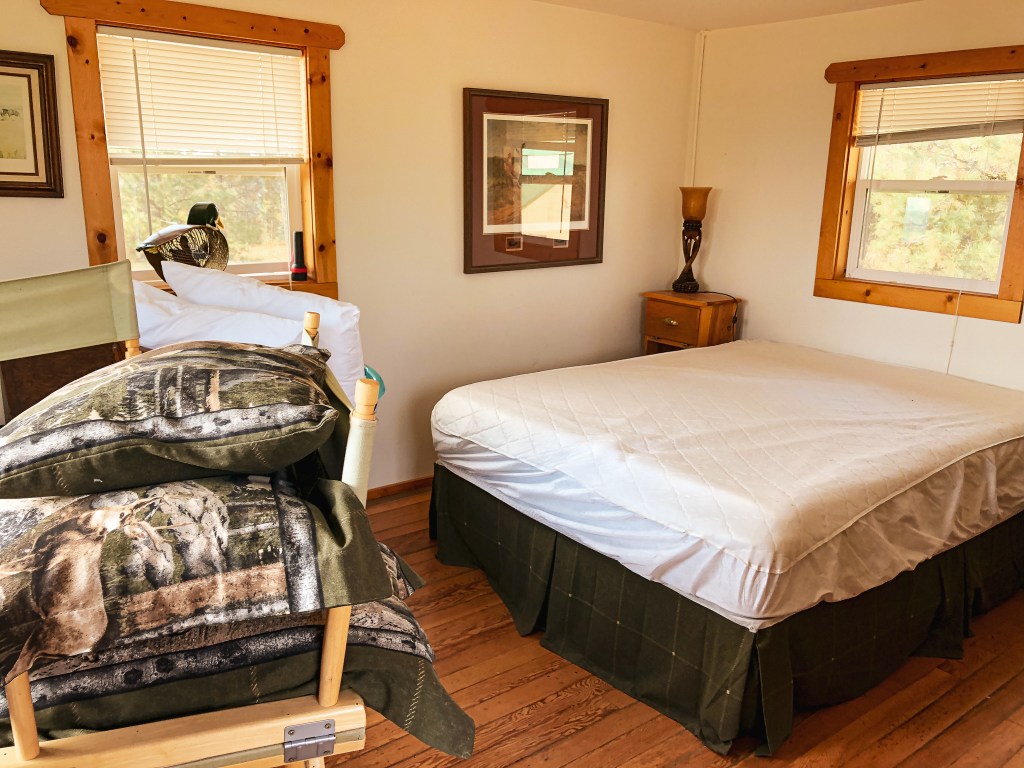
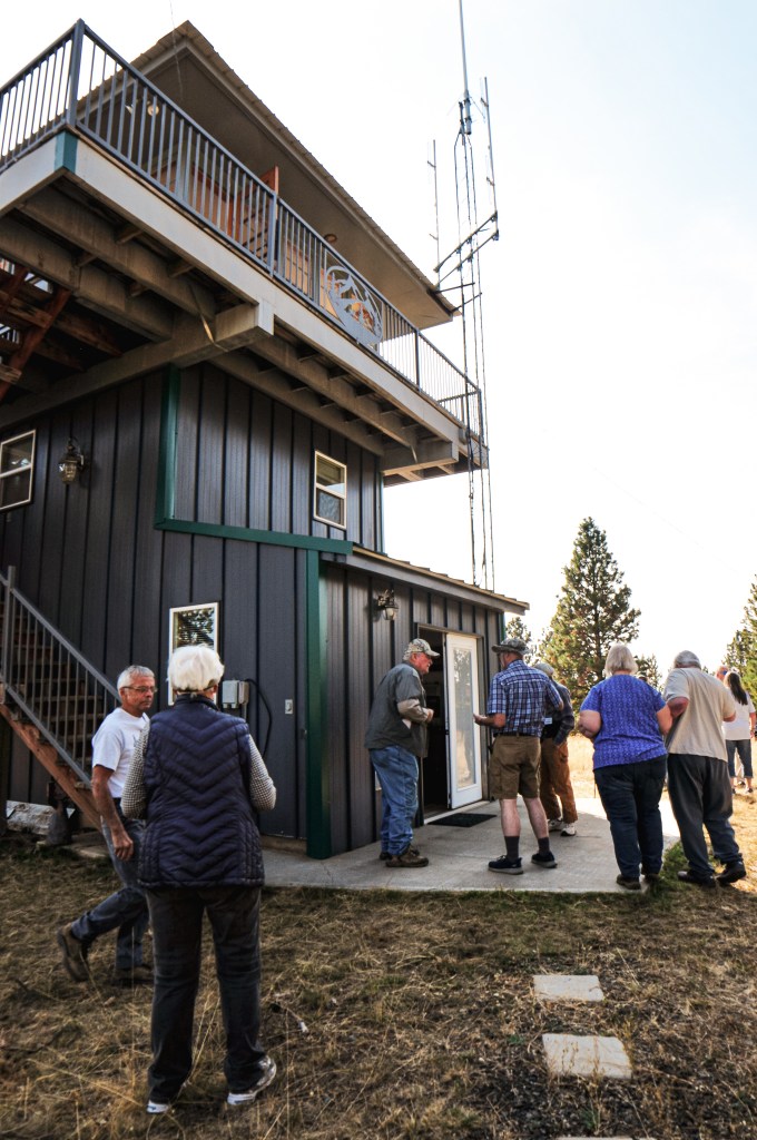
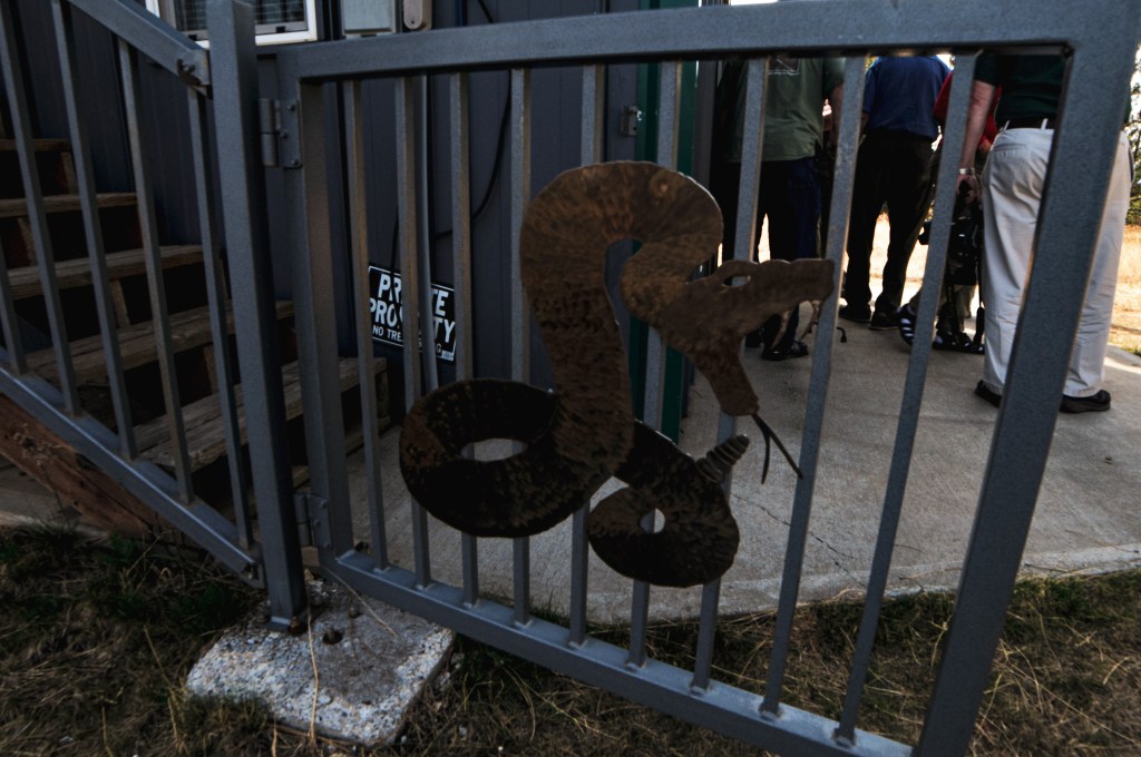
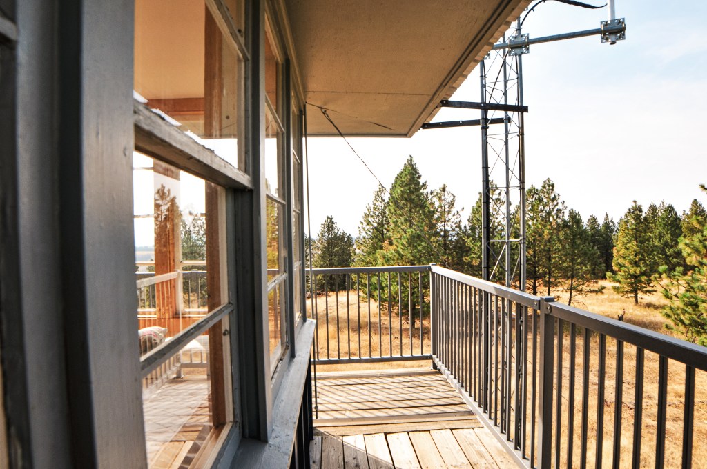
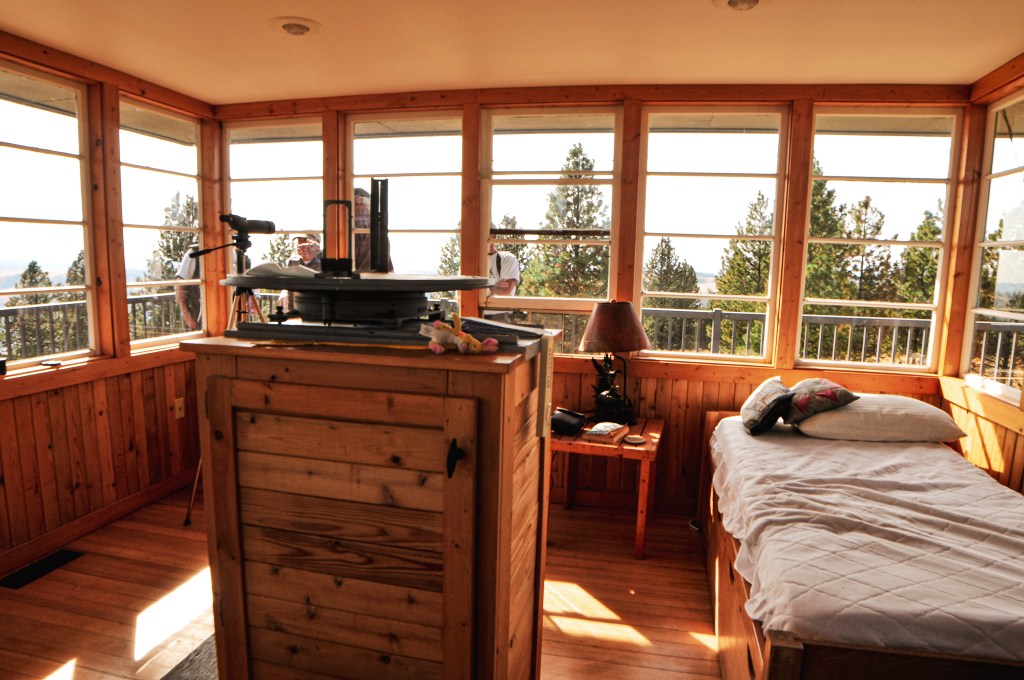
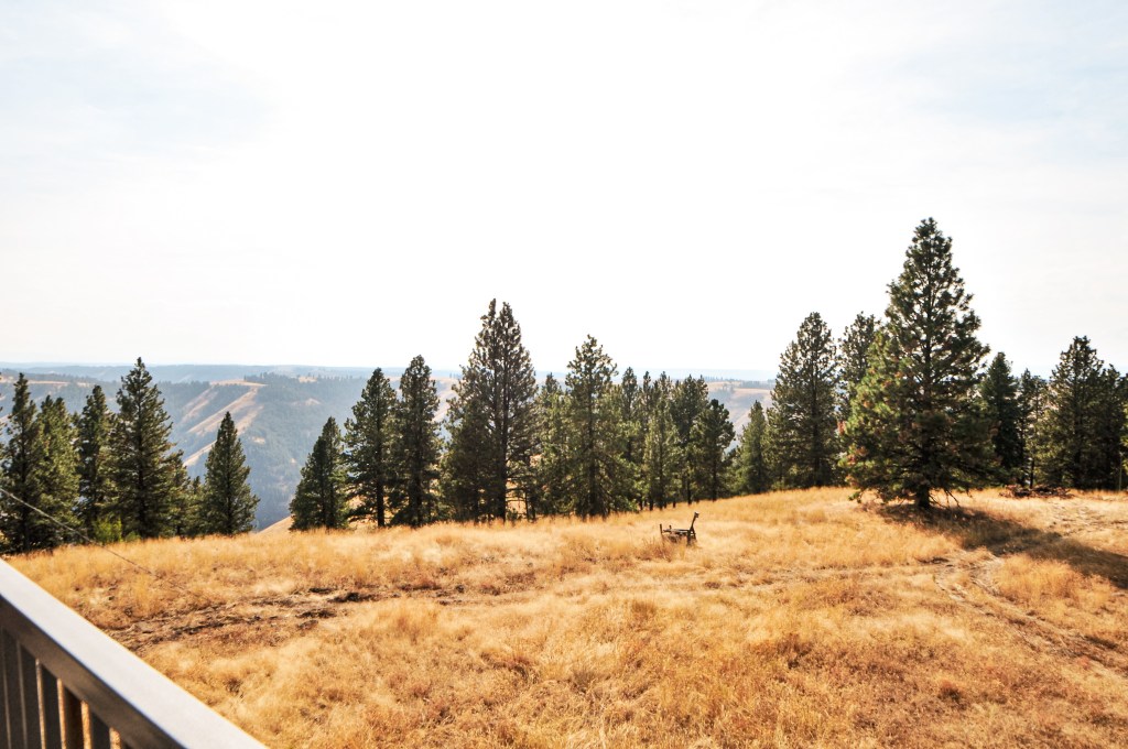
From HWY-3, heading south-bound now, we turned right onto Flora Lane. We only stayed on this road for 1-1/2 miles before reaching the junction with Courtney Butte Lane. Flora Lane continues to the right to reach the Community of Flora. While, Courtney Butte Lane is straight on and will take you all the way to the ranch. The road turned to gravel here and became a dusty show with the caravan. We stayed on this road for around 5 miles before reaching the fire lookout. We only had to pause briefly to open and close the gate. I assume this was to make sure no cattle escaped during our visit. We all parked in a line near the tower and got out to start exploring the area. I started by walking around the tower to take pictures. The owners were there to give us a brief presentation on their lookout and what they’ve done with it. The railing had some custom designs on it, one of which was a rattlesnake. The owner said they had that made, not only because it was rattlesnake country, but because one of their dogs was bit by one twice while here. The tower had some add-ons to convert it into a more live-able space for guests and it looked like it was kept in great condition. The cab still had its Osborne fire finder and stand. While walking around on the catwalk, we ran into the fire lookout attendant that staffs Spodue Mountain L.O. on the Fremont-Winema NF. She asked if we had been at the conference the whole time and we told her that we had. I mentioned that we had met her counter part, Sharon, earlier this summer on Calimus Butte. The only reason we hadn’t made it over to Spodue Mountain during that trip was because we thought it was still apart of the fire closure area. She mentioned that she vaguely remembered Sharon talking about our visit.
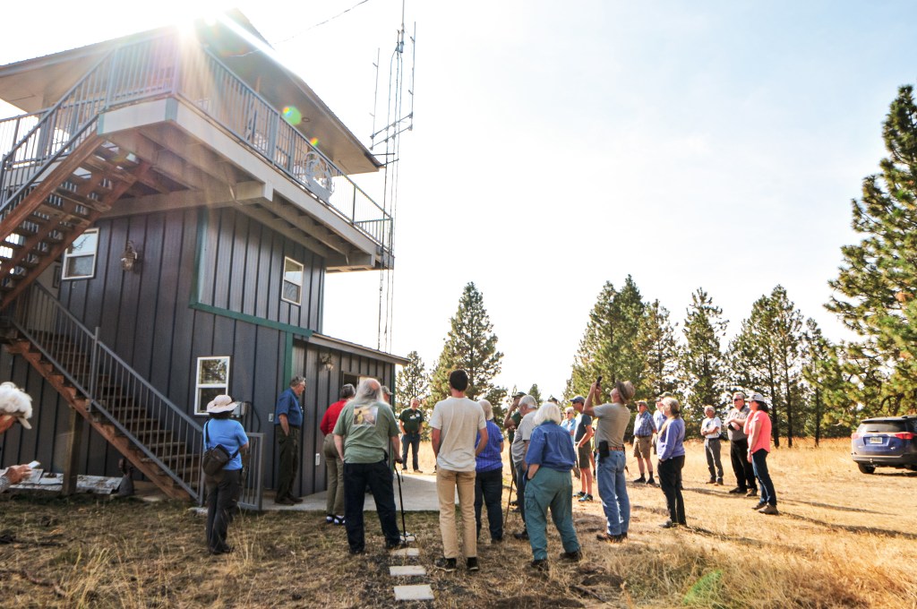

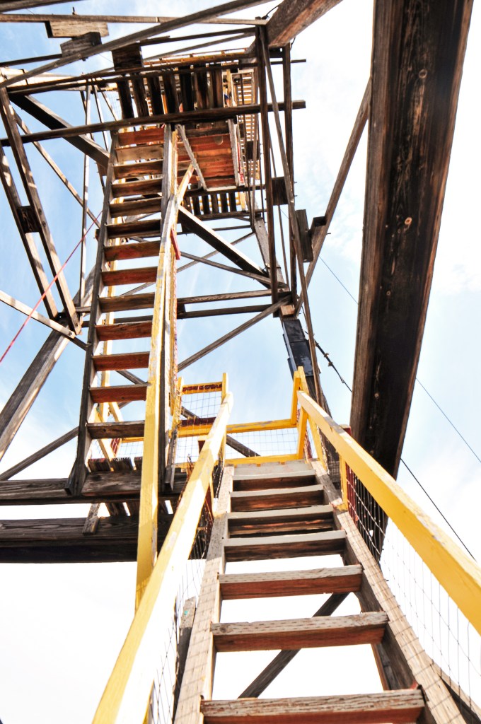
After taking some more pictures on the catwalk and in the cab, they gathered the group on the stairs to take a few pictures with everyone. I took some more pictures at the base for good measure and we eventually felt like we had our fill of Courtney Butte. We decided to pull out a map of the area while we waited for people to start leaving. The closest option if we wanted to visit another fire lookout before dinner was Red Hill. Kirkland Butte was also very close to there and would be a good second option if we had enough time. We unfortunately were boxed in by the caravan of cars and had to wait for them to move. Most people weren’t heading on to another lookout after this, so there was no sense of urgency to leave. This was our own fault though for not trying to park in a better spot for leaving early. Some of the other cars started leaving, but we had to wait for almost all of them because we had been near the end. Finally, the last car in front of us was getting ready to leave and we were free to continue on to Red Hill.


History.
In 1955, a 3-story enclosed ODF cab was built on the site of Courtney Butte. Prior to that, in the early 1950s, it was used for fire observation and the Ground Observer Corps station. It was regularly used by the ODF during emergencies into the early 2000s. The current owner mentioned that the ODF will still occasionally send someone up during thunderstorms. I am unsure when it changed hands to a private owner, but they have since modified and added to it for over-night stays. It’s not listed for public rental, but they let their friends and family stay in it. They seemed open to visitors as long as you get prior permission.