
Location.
Mount Rainier National Park
Status.
Maintained; Currently standing
Estimated drive time from Portland, OR.
2-1/2 hours
Date visited.
October 3, 2021
Elevation.
5,846′
National Historic Lookout Register.
US 207; WA 26


Trip Report.
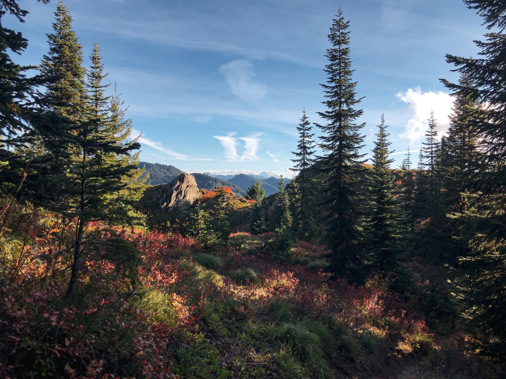
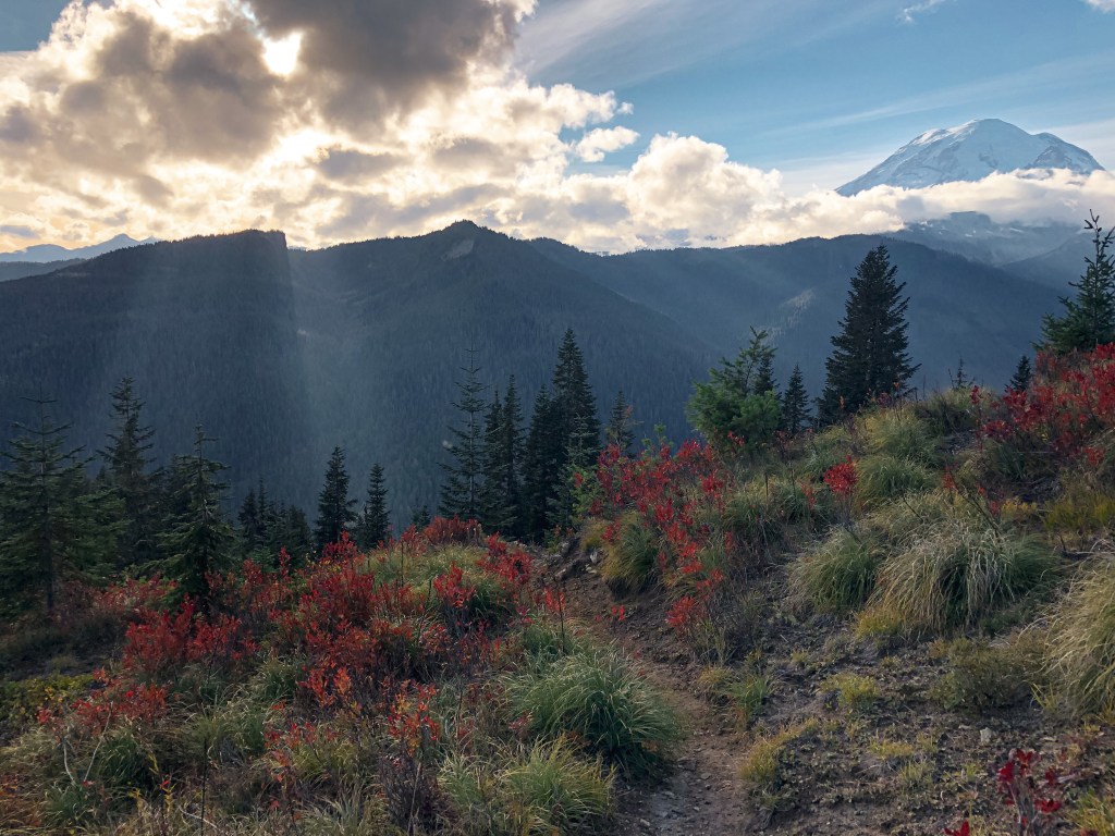
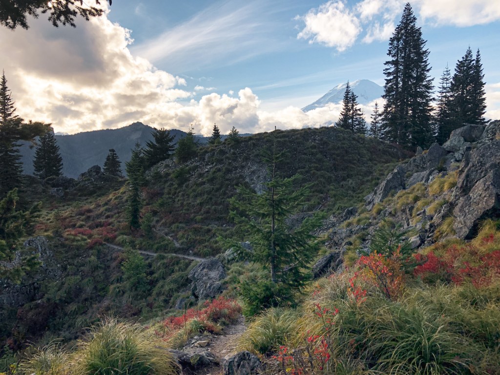
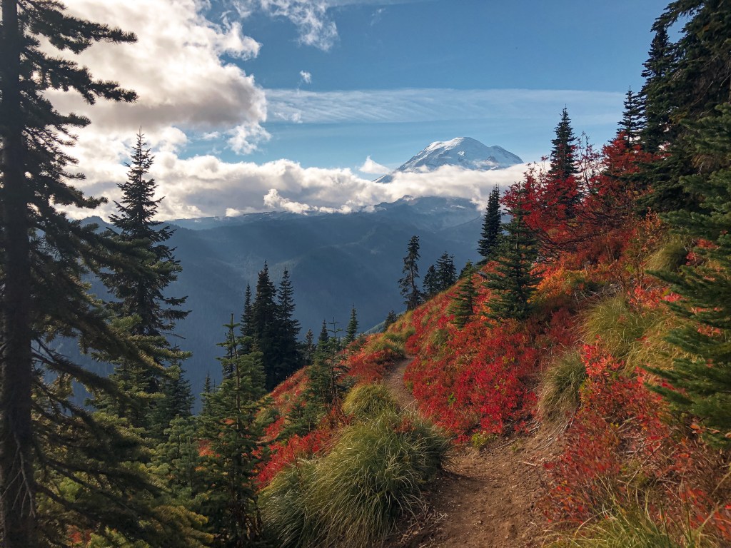
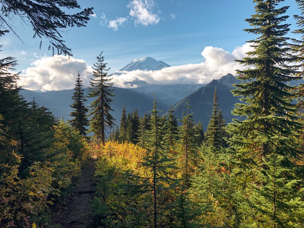
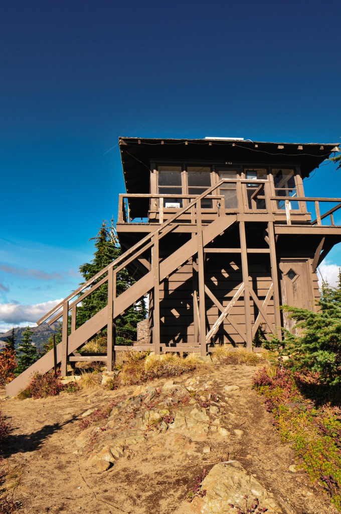
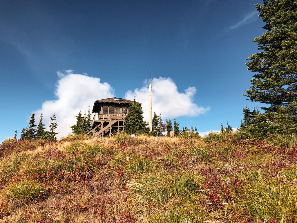
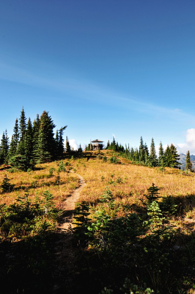
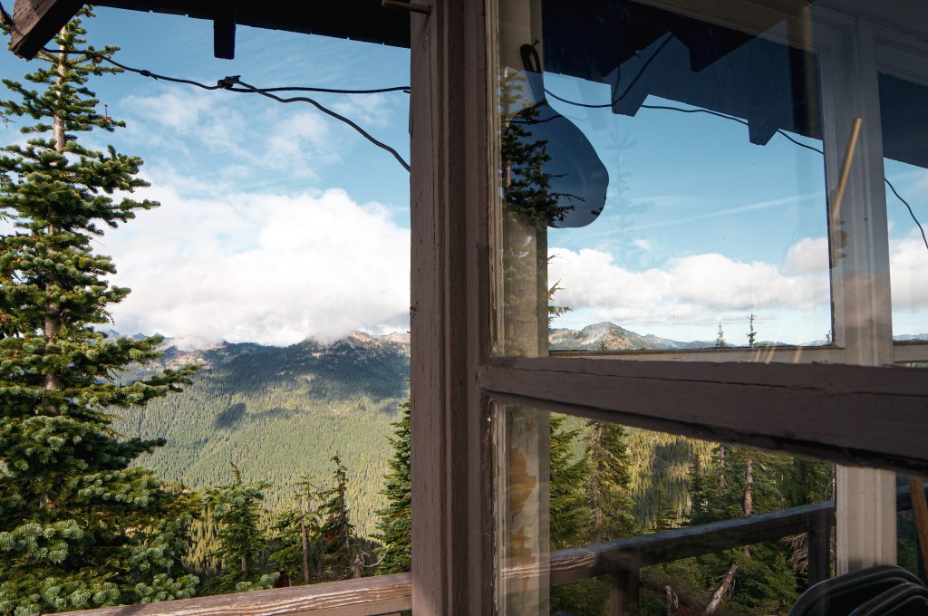
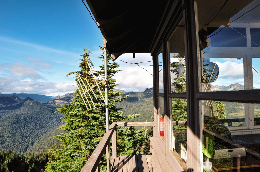
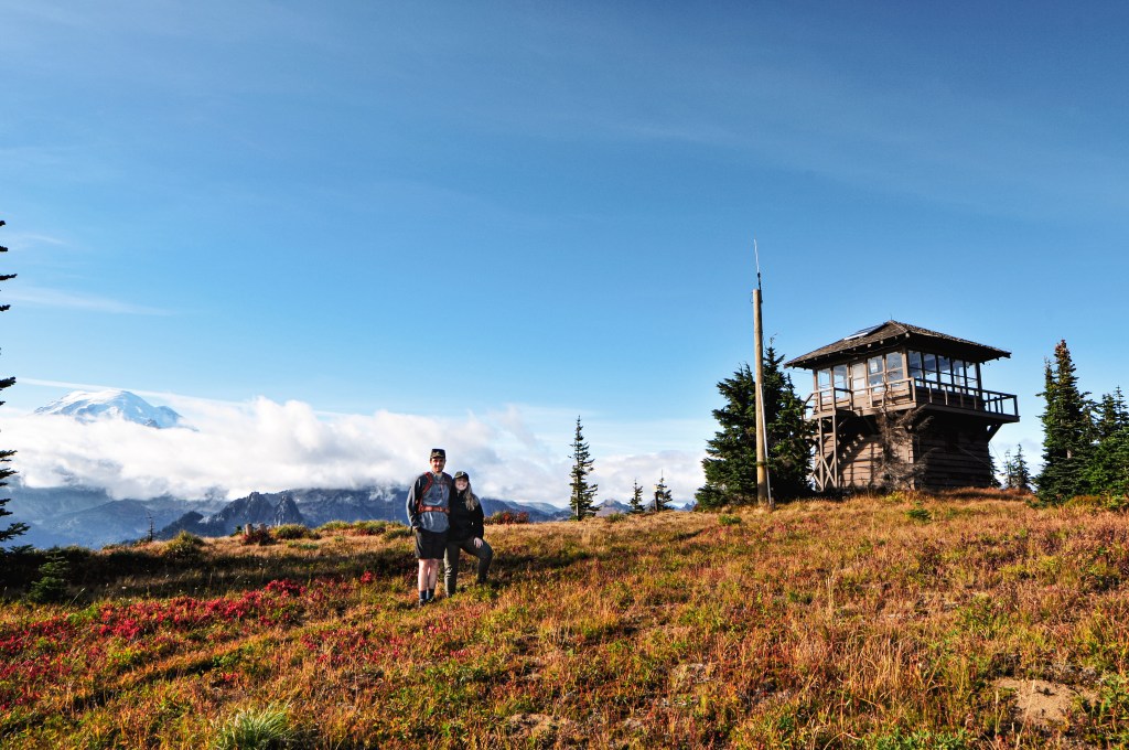
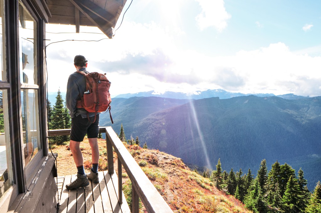
Fall has arrived! And with it brings the hunting season and potential for snow. My partner and I decided to enjoy a weekend at home for a change despite the gorgeous weather forecast. We still planned on hiking to a lookout in the area as a day trip though. We debated between seeing Clear Lake (post), Shriner Peak, Gobblers Knob, or Burley Mountain (post). But, Shriner Peak had been calling my name for a while now, even with the daunting elevation and drive time. We compared the distance and elevation to other challenging hikes we’ve done and decided to go for it. The trailhead is easily accessible off of HWY-123 between the Ohanapecosh Campground and the White River Park Entrance. AllTrails noted the trail as 7.5 miles round trip with 3,356′ elevation gain, while the National Park noted the trail as 8 miles round trip and 3,434′ elevation gain. My phone tracked it closer to 8.5 miles round trip. It is described as difficult and strenuous, but we found it to be more of a moderate hike. It is a continuous up hill climb but nothing in comparison to other hikes we’ve done. If you’ve done Devil’s Peak (post) via Cool Creek Trail then this one will be a breeze in comparison. You will still want to bring a lot of water and lunch for the summit. Despite not feeling like a strenuous hike, I experienced 3 Charlie Horses in one of my calves. I repeat bring lots of water. I’d also recommend this as a late season hike, the cooler temperatures and breeze make a difference. The park notes this as one of their loneliest trails, if you’re looking for a less crowded place to hike. We still saw about 12 groups of people on this hike though. But, in comparison to other trails in the park it is definitely less visited. Some of the groups only hiked to the false summit, 2.5 miles in, which offers a great view of the mountain and below valley. By the time we reached the summit we had it to ourselves. The summit also has two nice backcountry camp spots only a short hike from the lookout. You need permits to backpack in this area and there is no reliable water source.
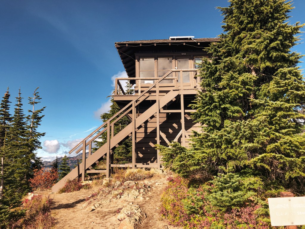


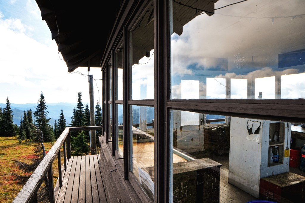


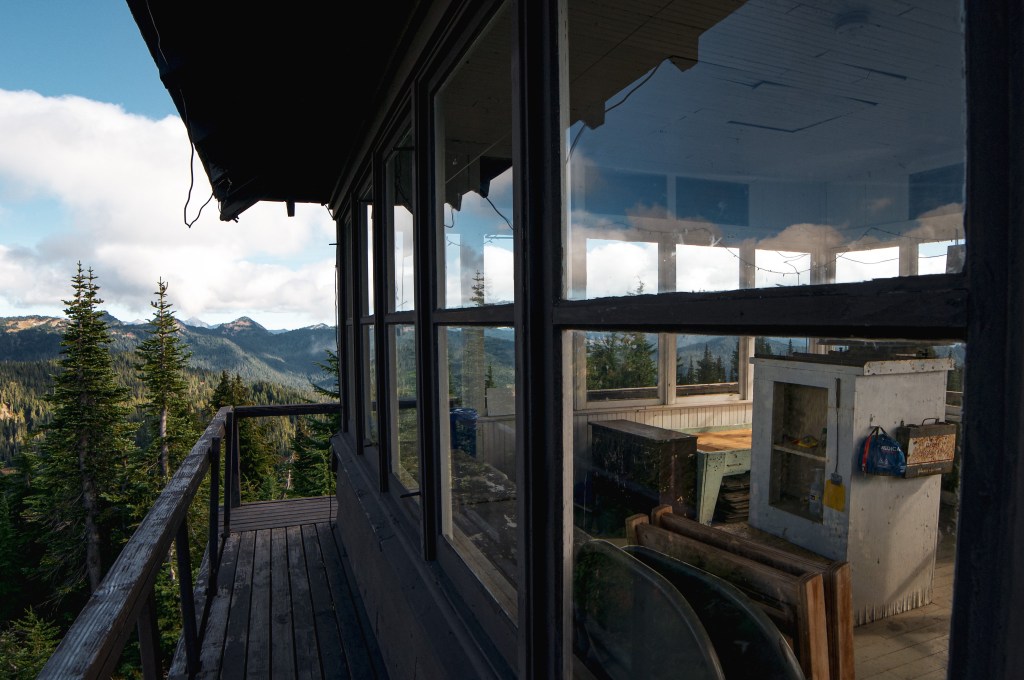
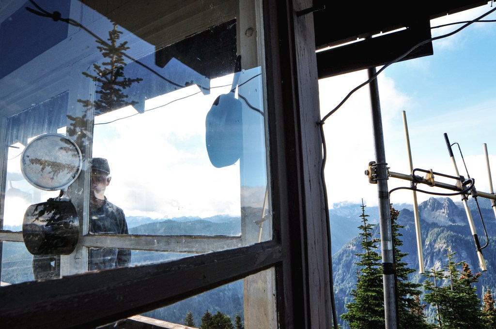
I love being able to meet the people that are knowledgeable of these places. We had the pleasure of meeting Ranger Pete from the National Park service while on the summit. He had hiked up when we were enjoying lunch on the catwalk of the lookout. He was staying there for the evening and going to be boarding up the windows in preparation for the winter season. He was kind enough to answer our questions about the area and lookout to the best of his knowledge. He used to work in Glacier National Park and mentioned they actually have active lookouts in the park still. The ones in Mount Rainier National Park function mostly as standing exhibits but are still used by staff and volunteers.


History.
Shriner Peak L.O. was built in 1932 by the National Park Branch of Plans and Designs. It’s the standard 2-story frame cab used by the National Park service that features a ground floor storage room and upper live-in space. It is one of the four remaining lookouts within the Mount Rainier National Park. It was actively staffed until the 1980’s and is listed on the National Register of Historic Places. I just need Gobblers Knob to finish visiting all the lookouts within this National Park.


More Information.

Very good blog post. I definitely love this site. Keep writing!
LikeLike
I was able to find good advice from your blog articles.
LikeLike