Location.
Malheur National Forest
Status.
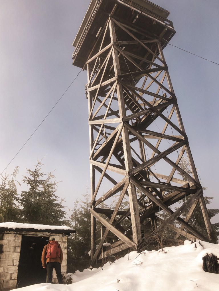
Active; Currently standing
Estimated drive time from Portland, OR.
6 hours
Date visited.
May 27, 2022
Elevation.
5,593′
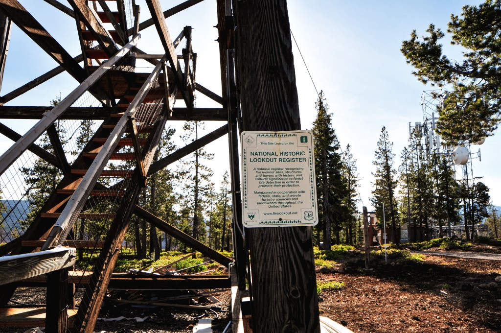
National Historic Lookout Register.
US 116; OR 16
Trip Report.
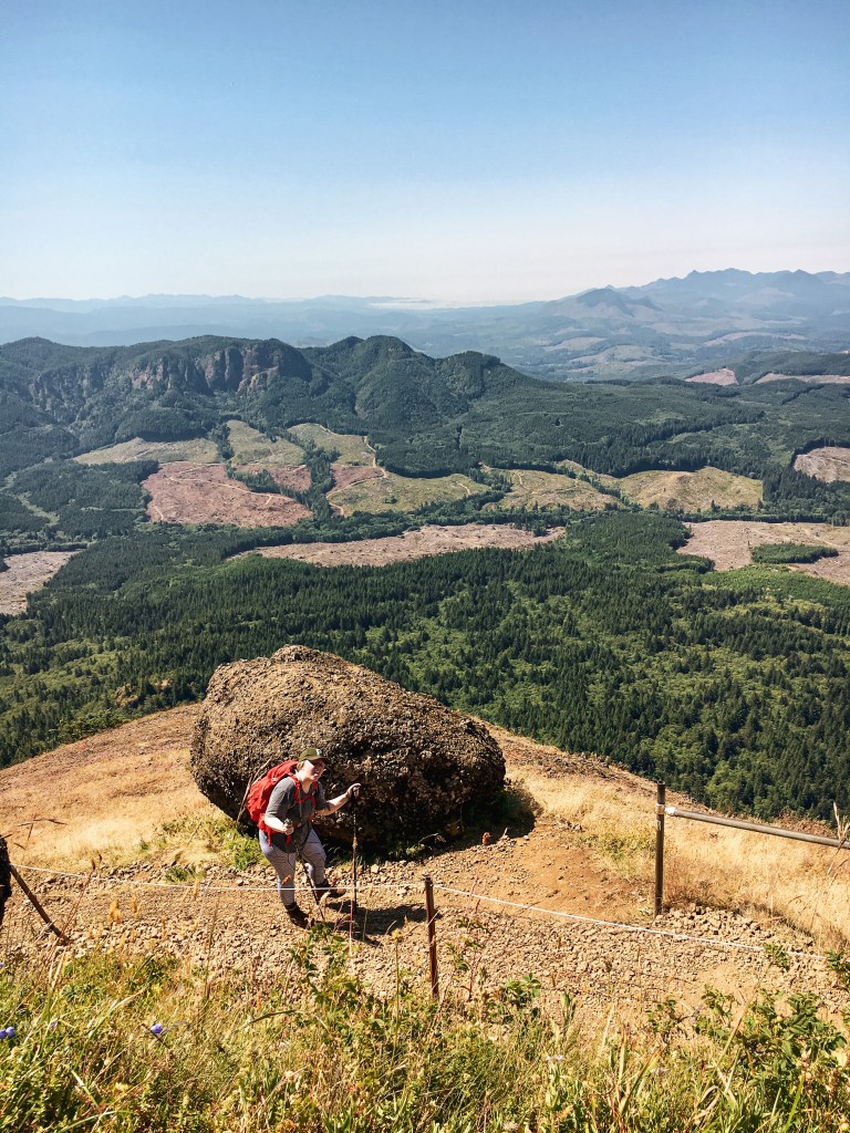
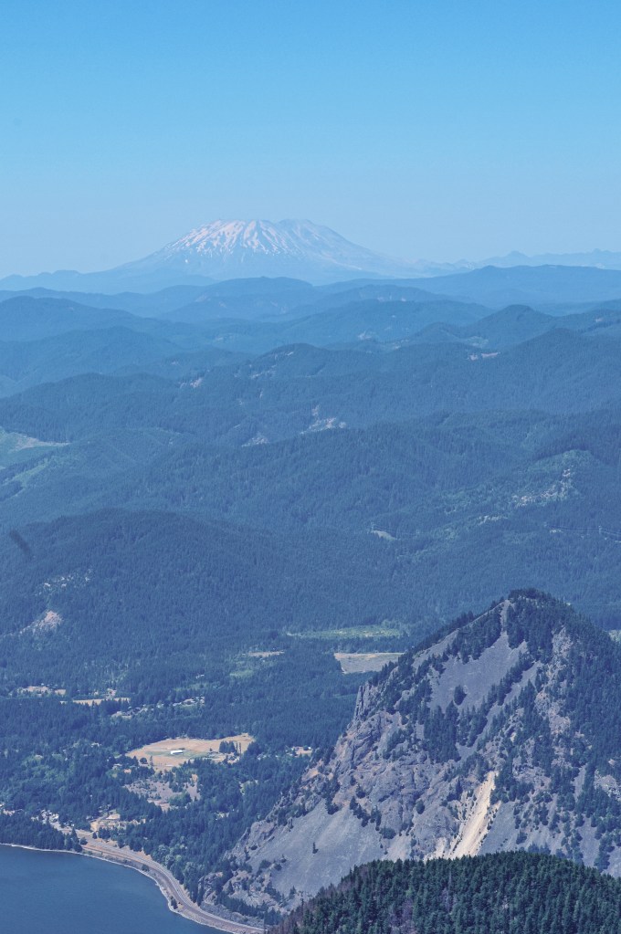
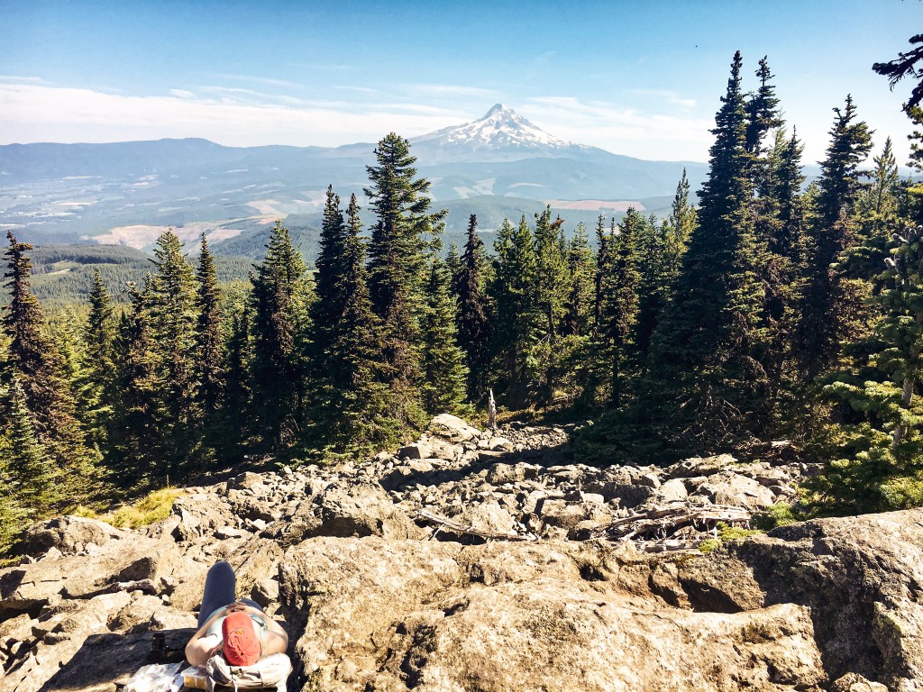
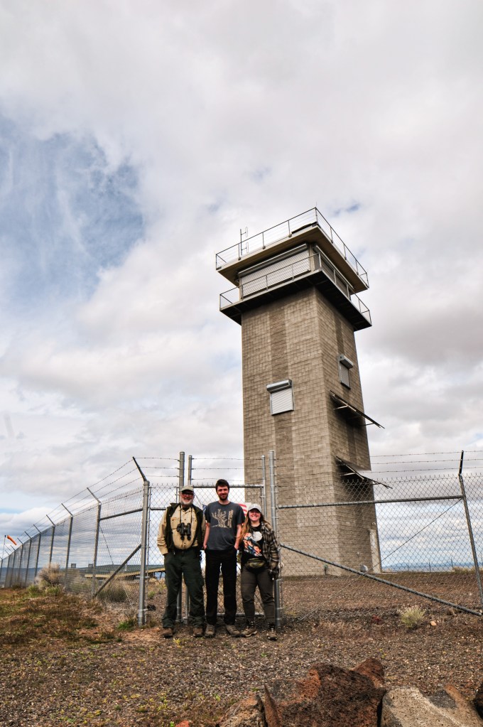
Memorial weekend we set out with a plan. We’ve decided to focus on fire lookouts listed for decommission by the Forest Service. Our original plan was to see 6 fire lookouts over 5 days within the Malheur NF and Umatilla NF. It eventually evolved into 7 fire lookouts and ended with 8 total visited. As my partner likes to quote Elwood from The Blues Brothers: “We’re on a mission from God”. Despite neither of us being religious, we do feel a strong drive to see them while they are still standing. Each year the fire season poses a threat to these historic structures as large wildfires become more common and dangerous. The irony is not lost on me that they’ve played a role in the fire suppression that has helped lead to our current situation. But that is a topic for another post.

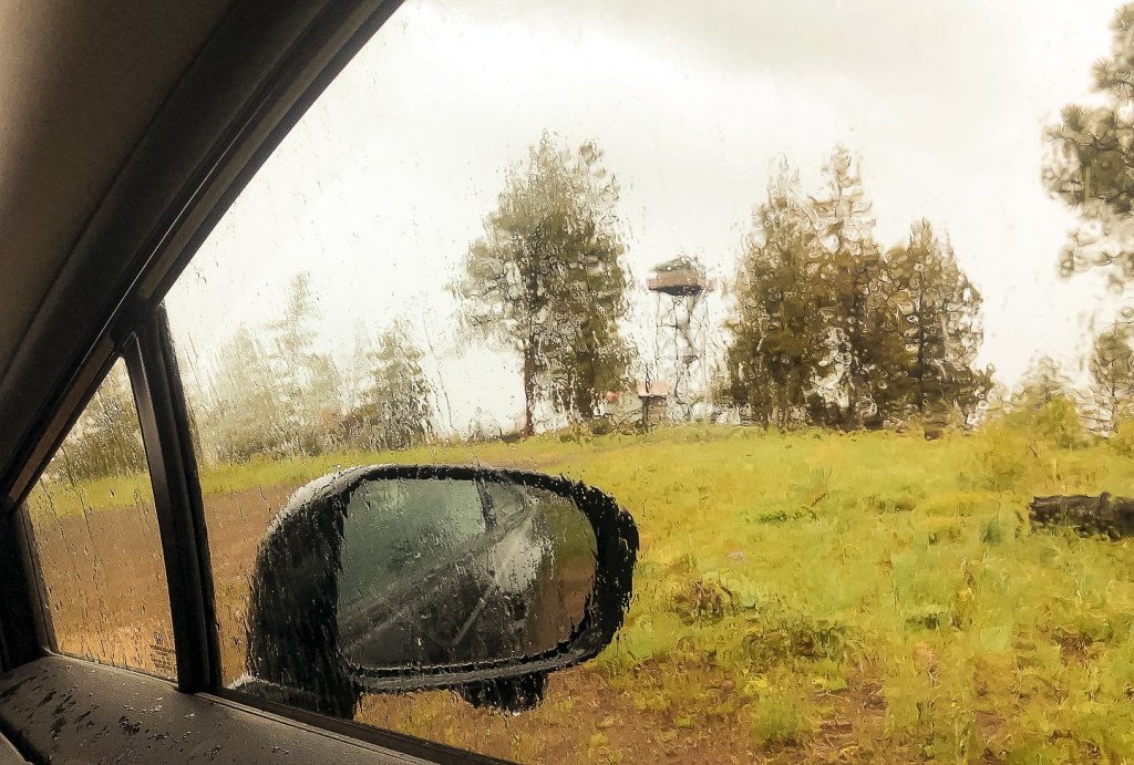
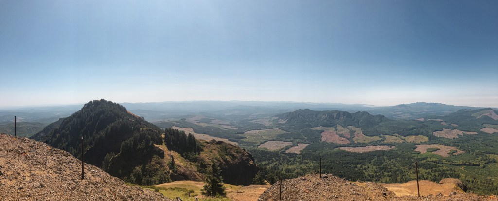
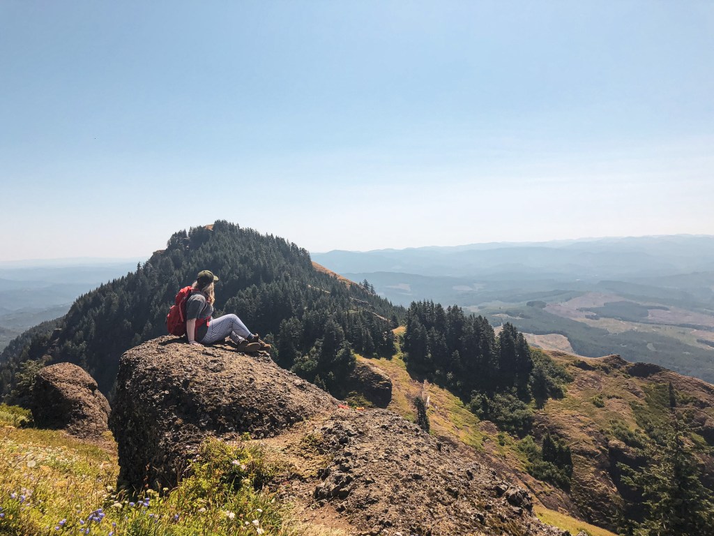
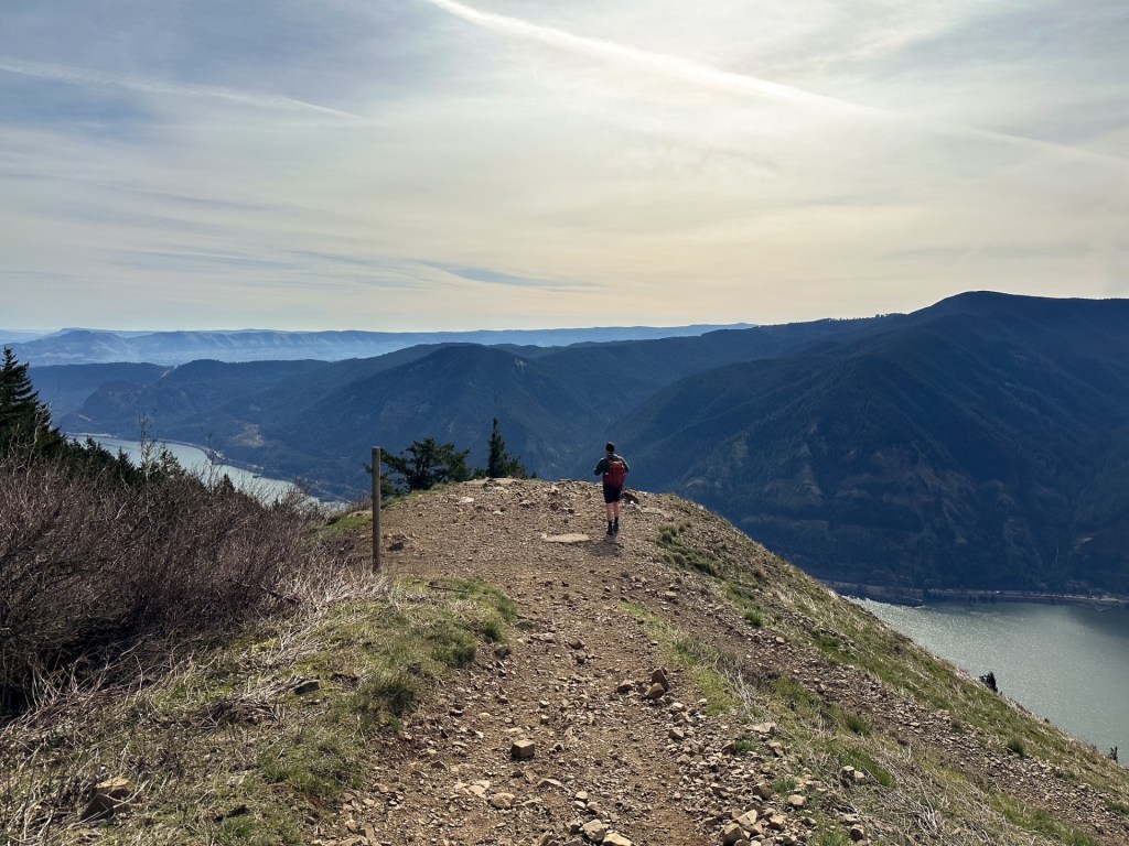
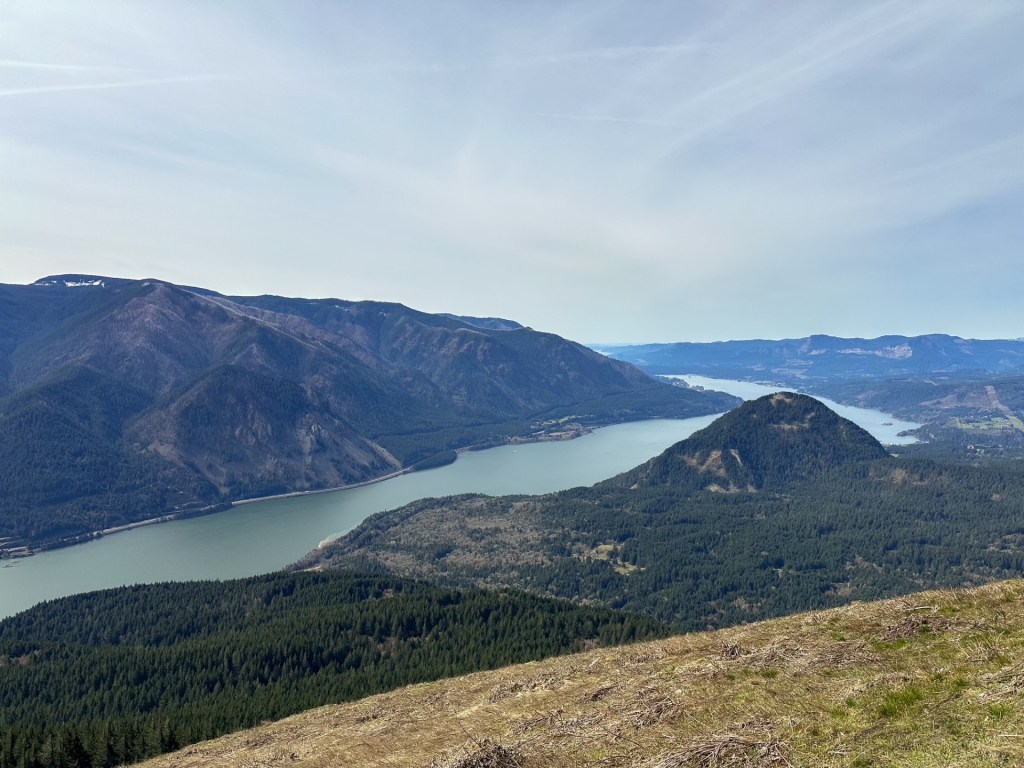
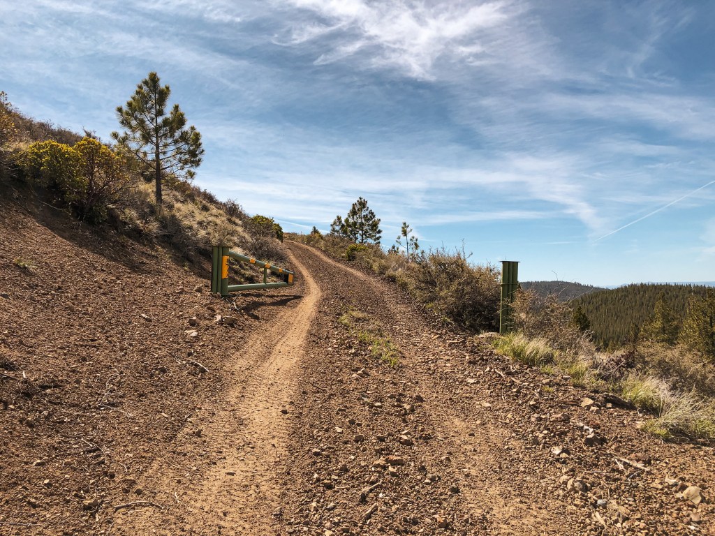
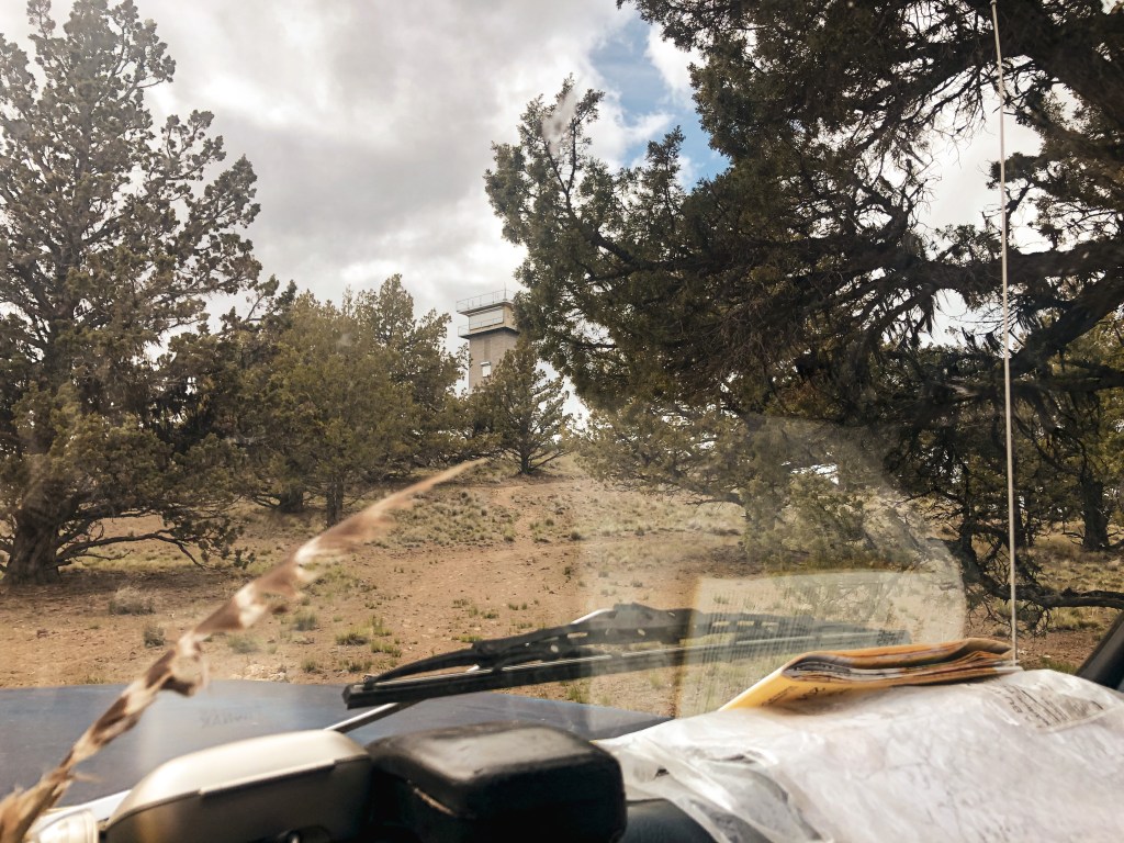
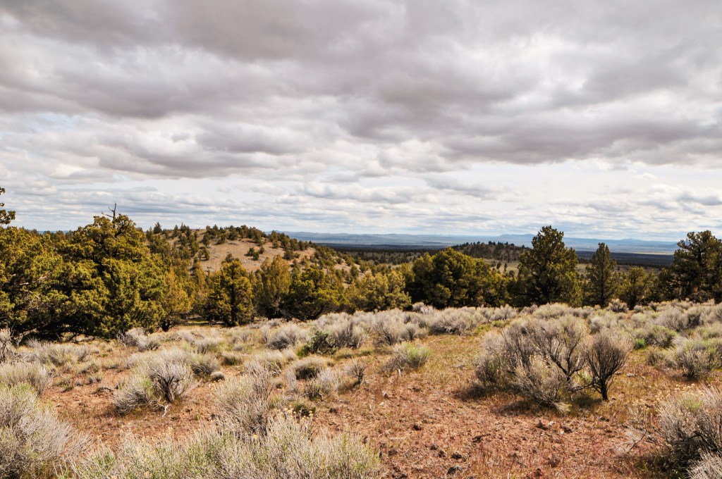
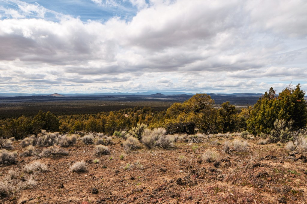
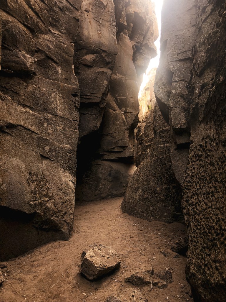
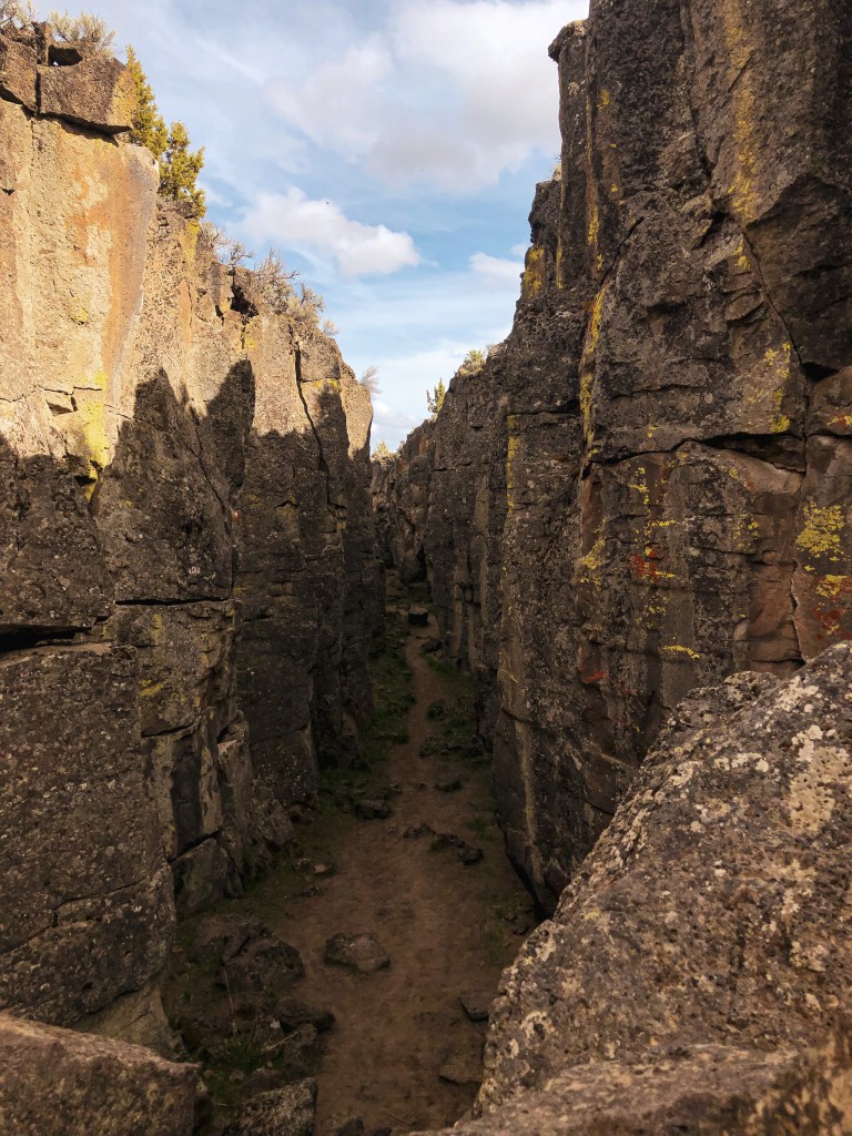
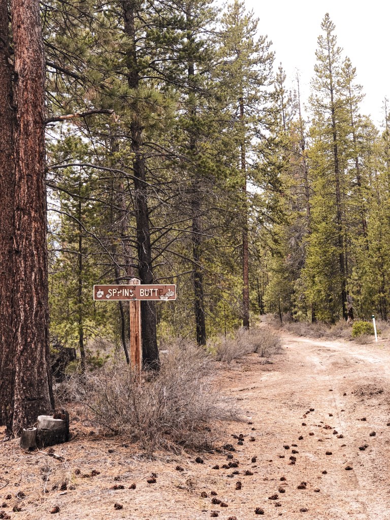
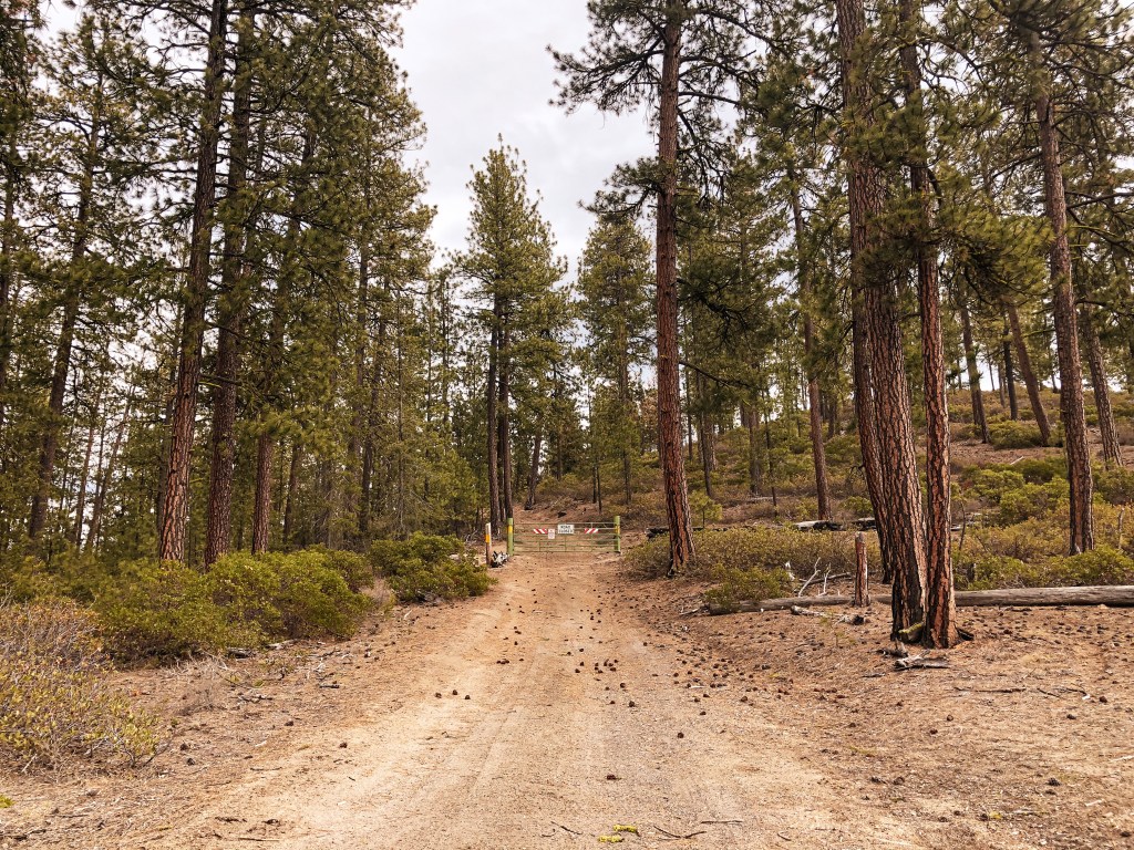
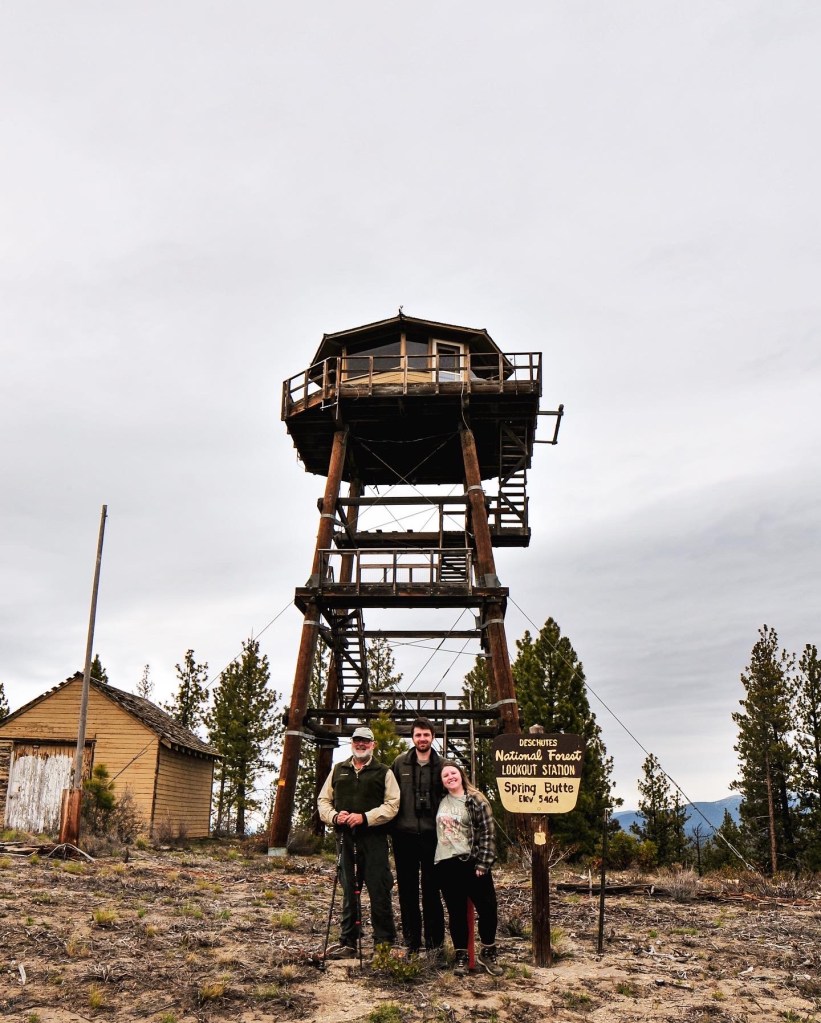
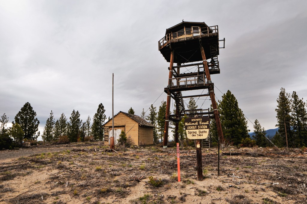
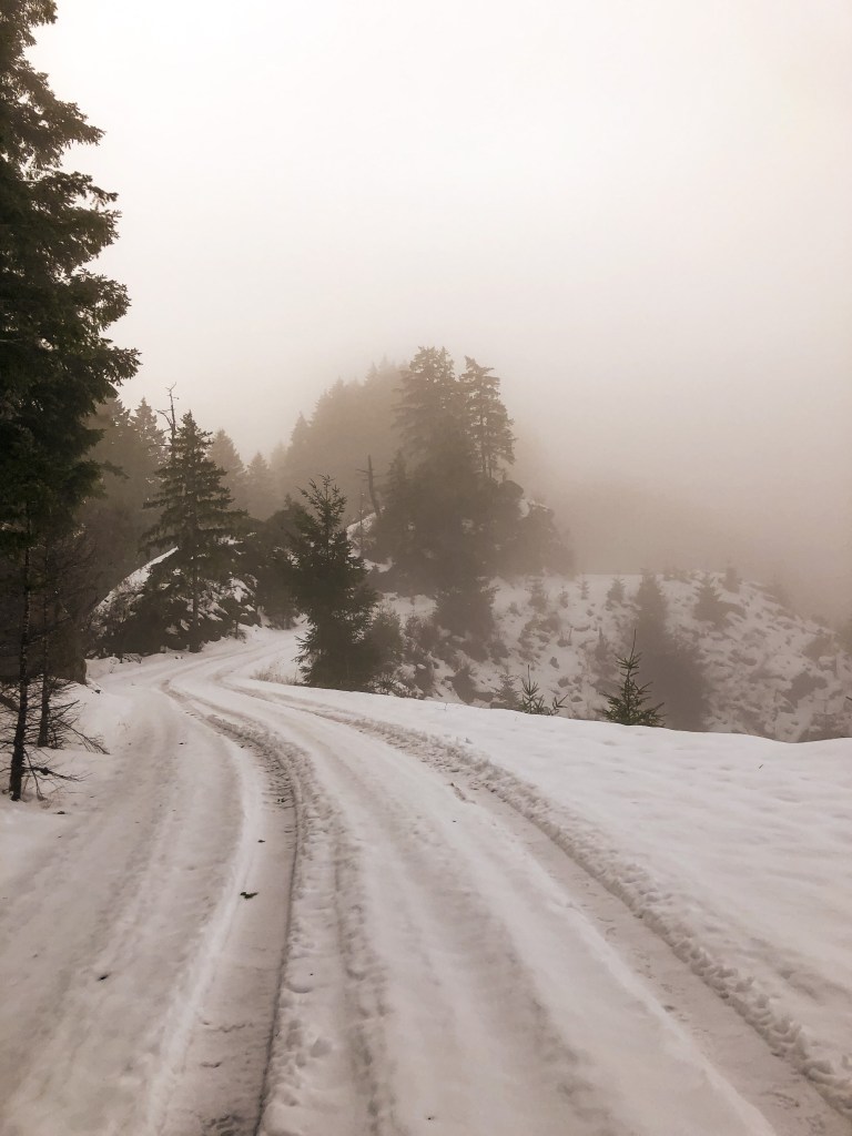
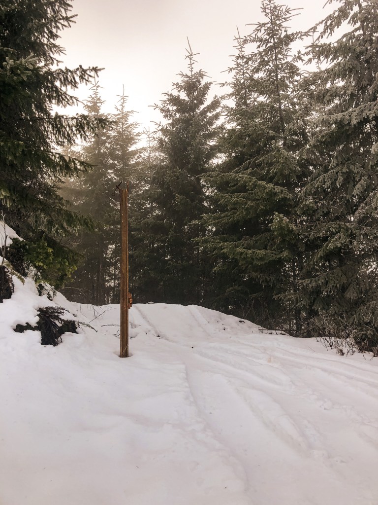
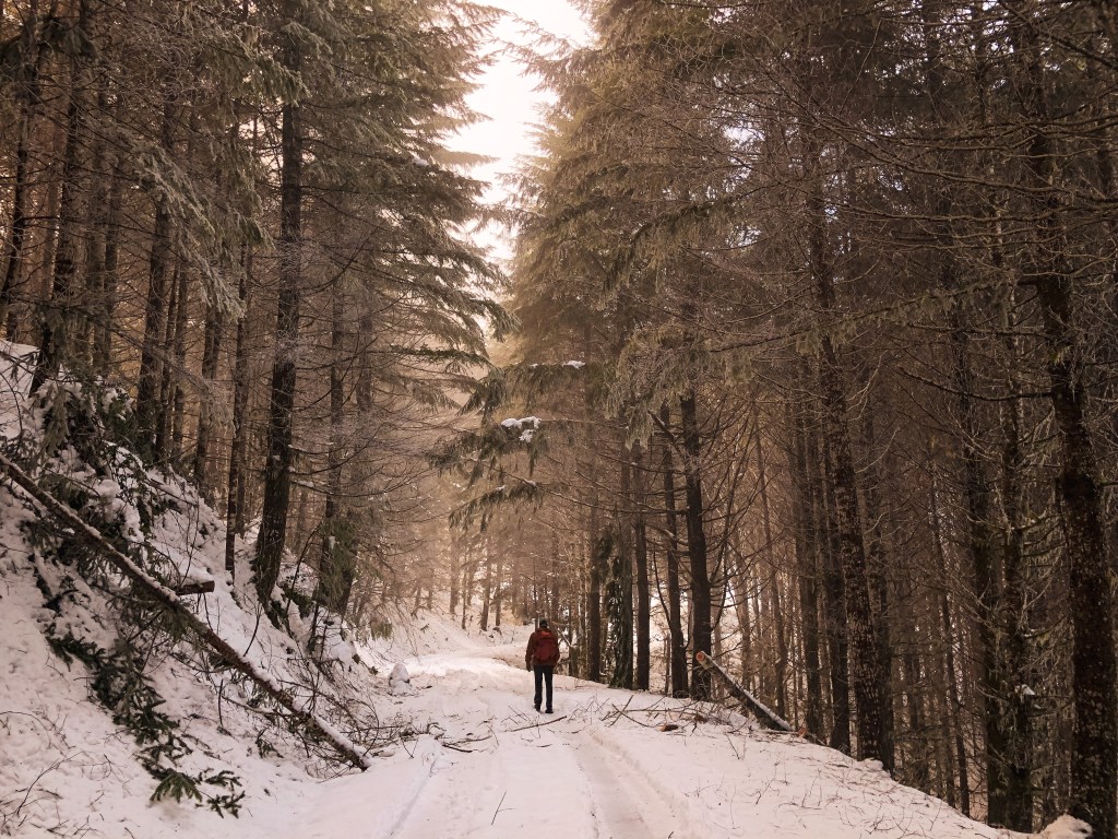
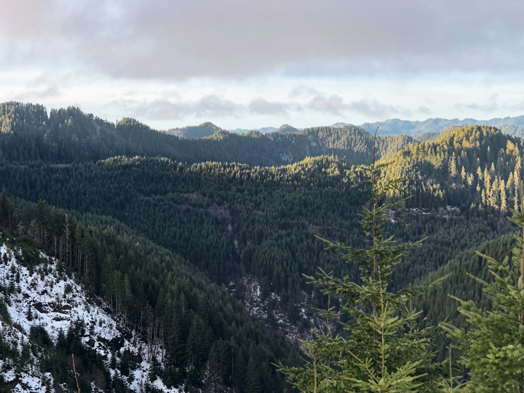
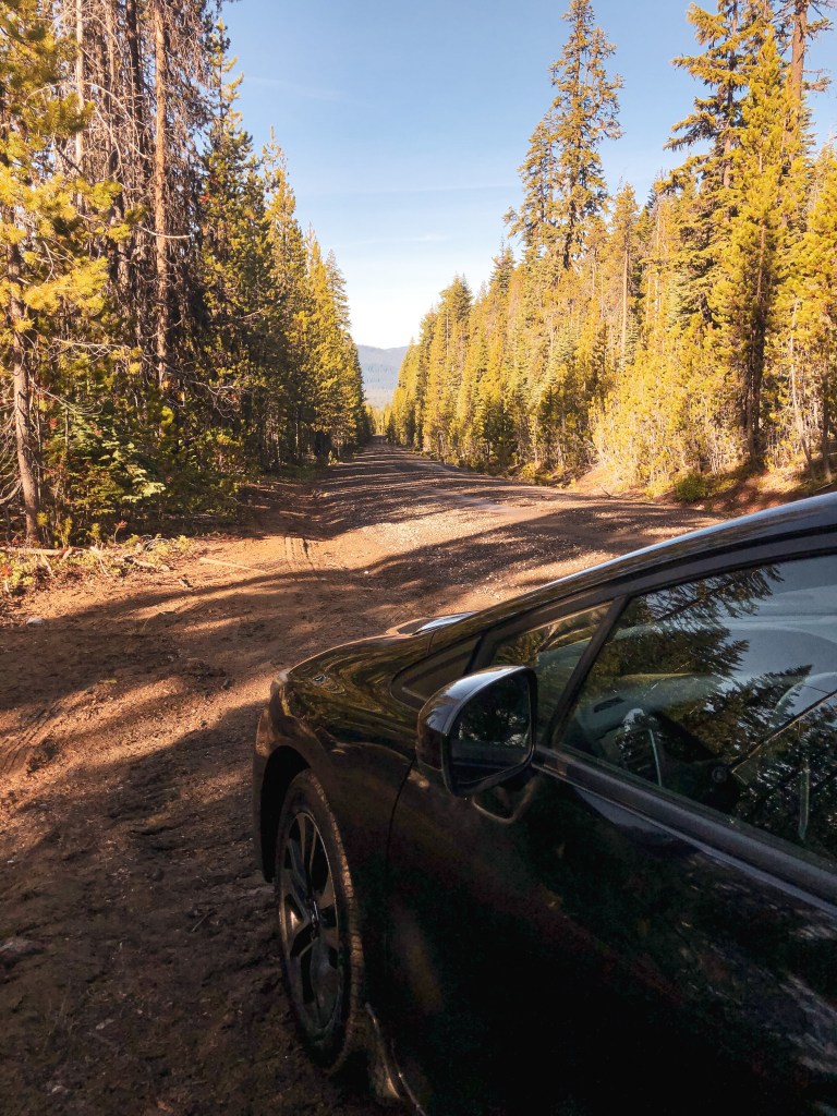
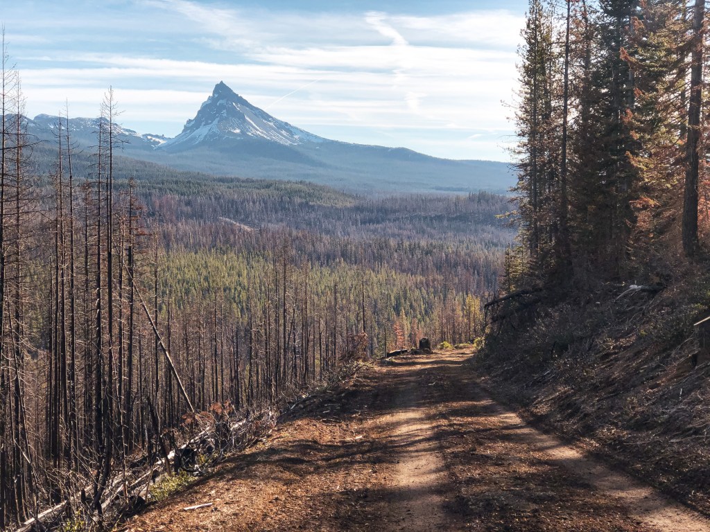
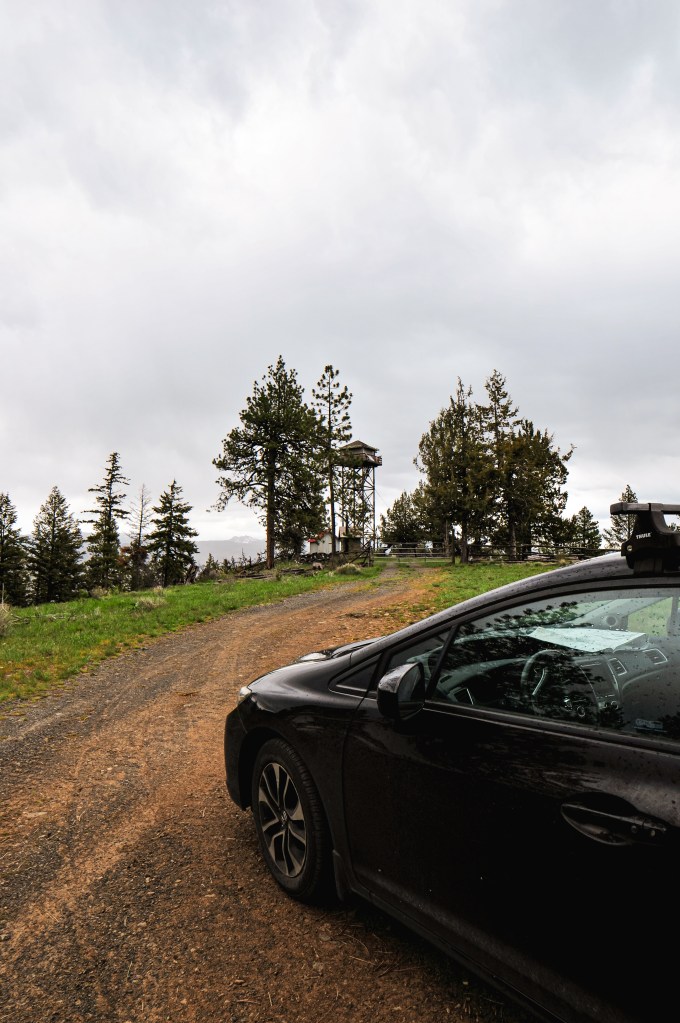
Our long weekend started on Friday, we woke up at 6AM and began our drive out to the Malheur NF. Our goal for the first day was Dry Soda and Frazier Point (post) before setting up camp. Dry Soda is not on the list of fire lookouts for decommission, but it was on our way. Other trip reports mentioned the roads getting there were drivable to any vehicle. It’s one of the many aspects of the Malheur NF that I love. They always seem to have well maintained gravel roads, even the 3 number spurs, and are usually well signed. From HWY-395, you will turn onto CR-65. This county road turns into NF-15 once you have entered the forest. You will stay on this road until you reach the Wickiup Campground off to the right. You will turn right on this road and head up NF-1516 past the campground. This road will take you to a major four way junction where you will want to take another right on to NF-3925. The lookout is gated behind a short spur off of this major Forest Service road. We had no issues driving here in my Civic which added it to the short list of lookouts I’ve been able to drive all the way to.


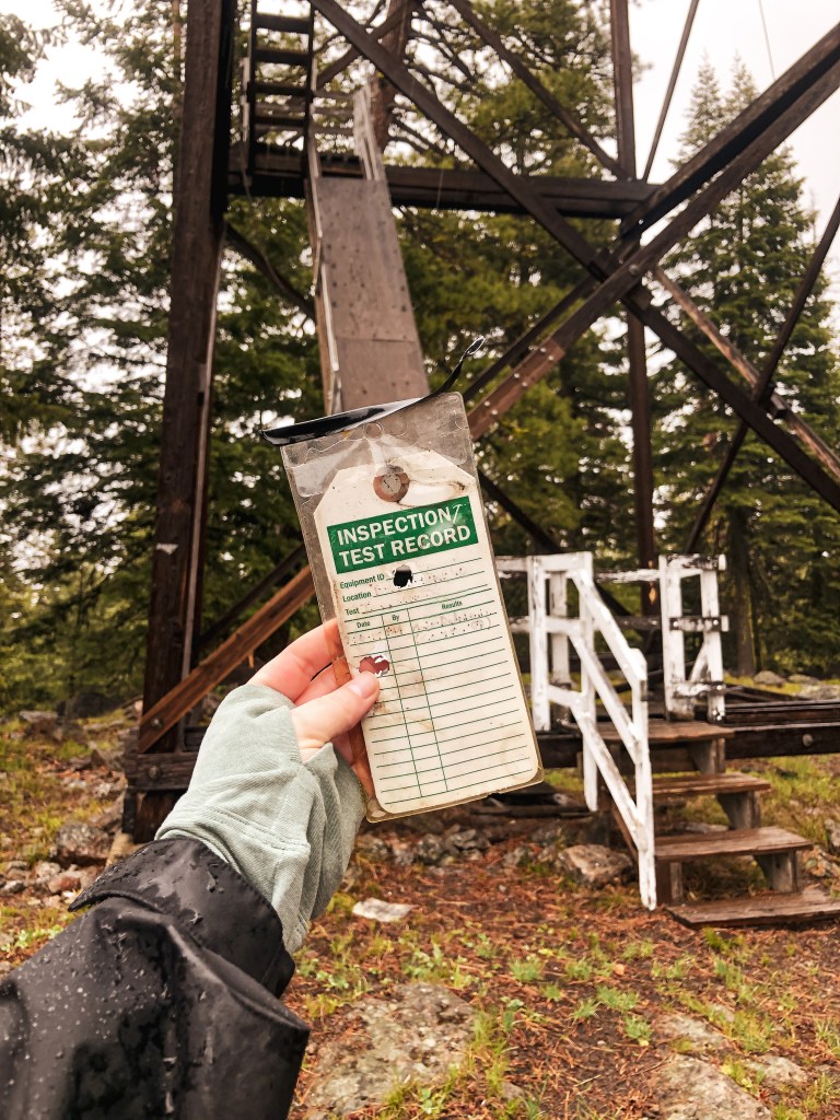
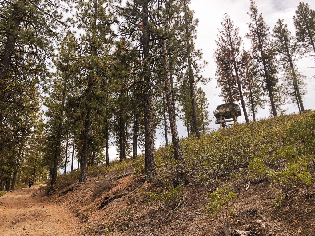
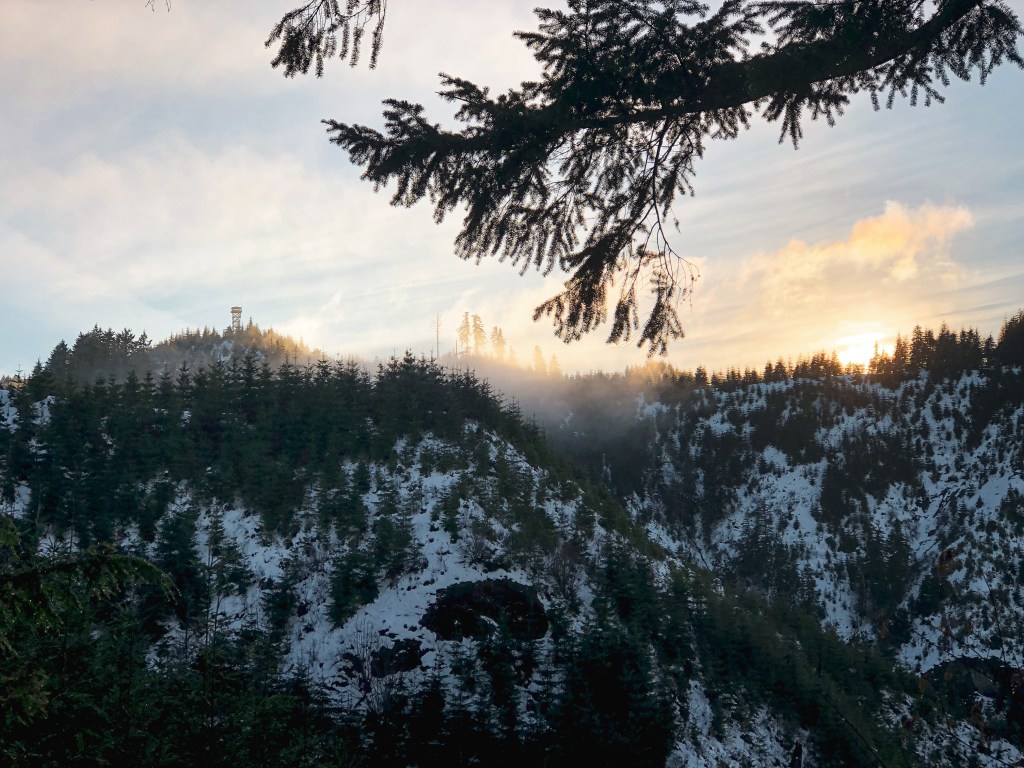
Dry Soda is an active lookout, but it was still too early in the season for the lookout attendant to be there. Especially with this years late season snow and rain. While we were there, the rain clouds started to roll in for the weekend. I made a joke that we weren’t on Dry Soda anymore and that it should be called Wet Soda instead. We would continue to battle with this storm all weekend. We rejoiced on how easy it was to get here and hoped Frazier Point (post) would be similar as we headed back down to NF-15.


History.
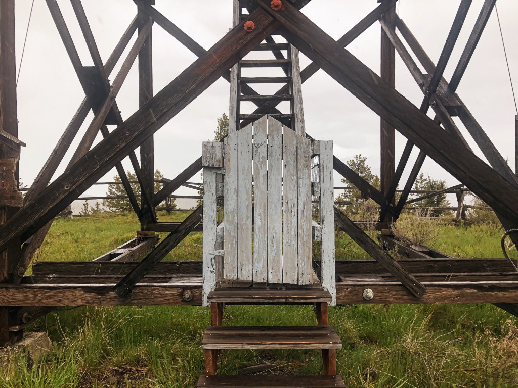
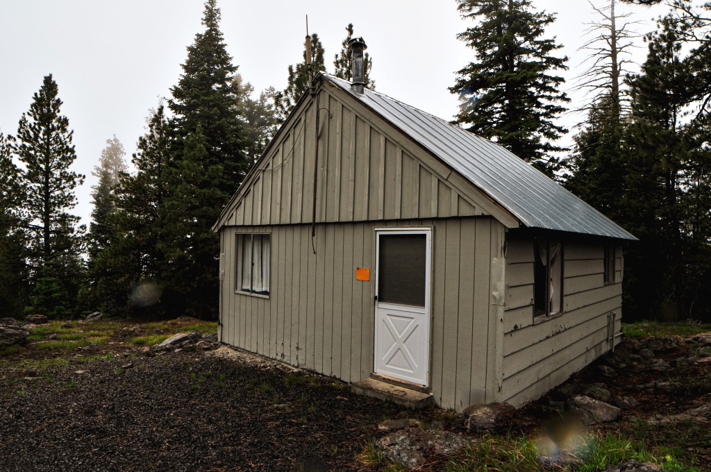
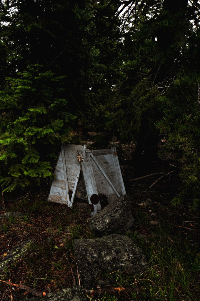
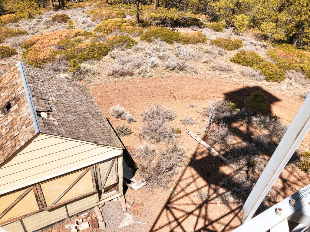
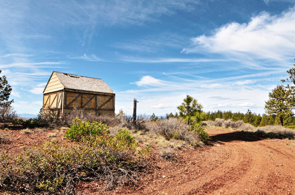
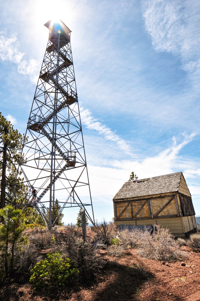
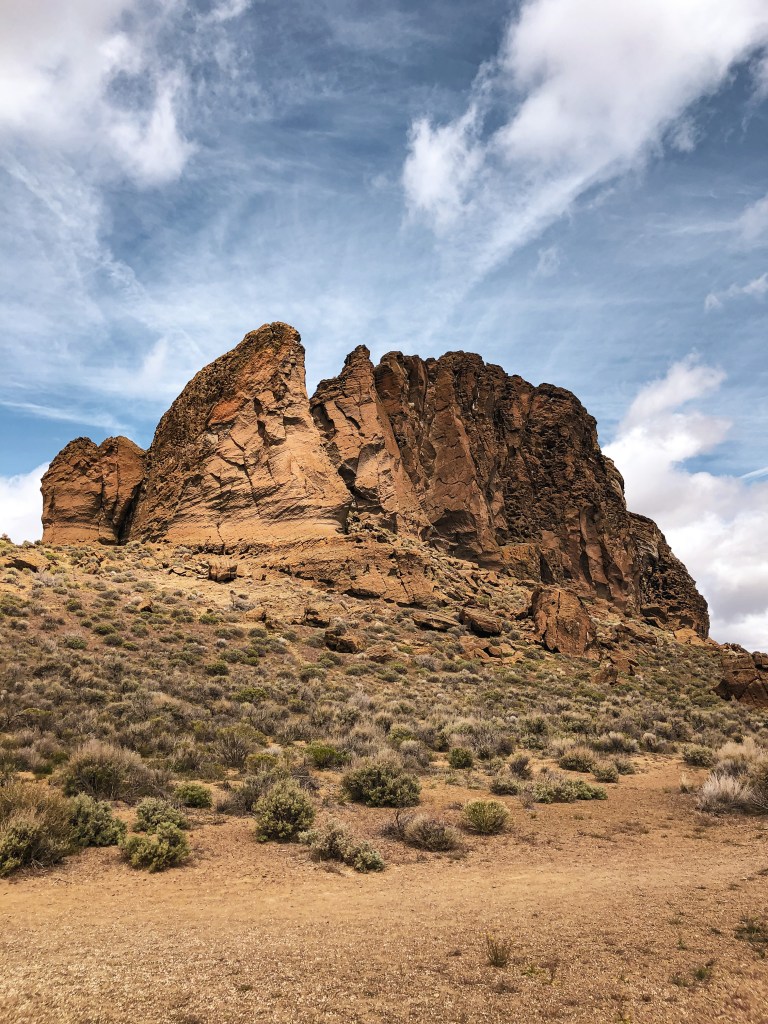
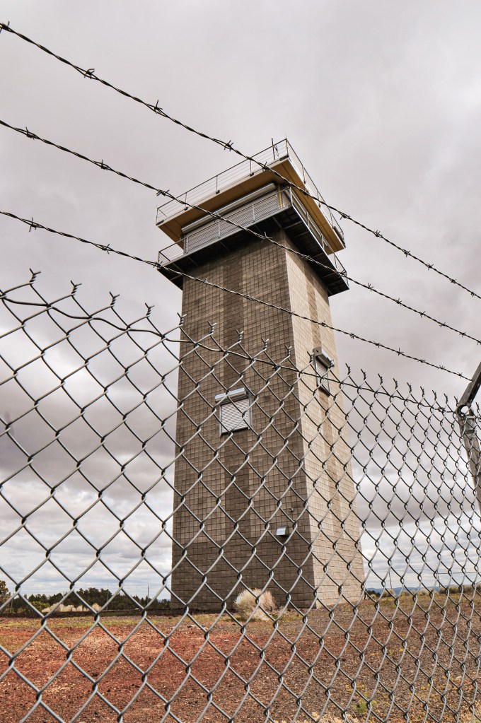
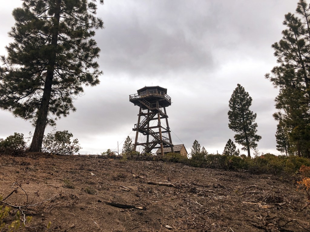
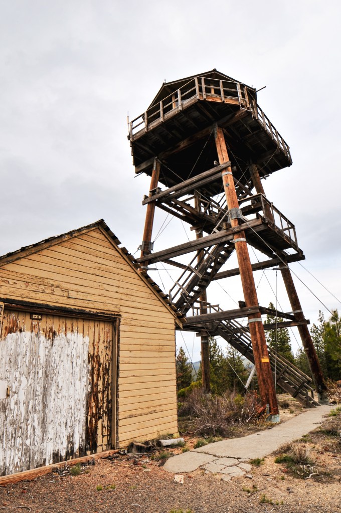
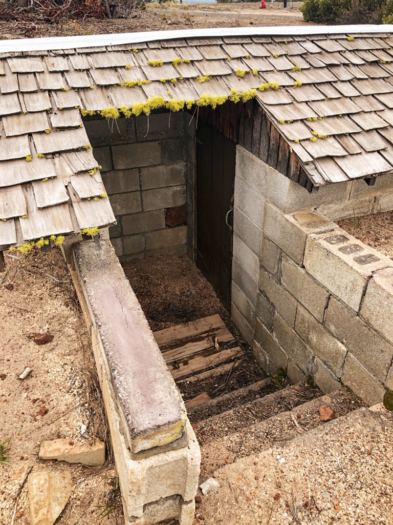
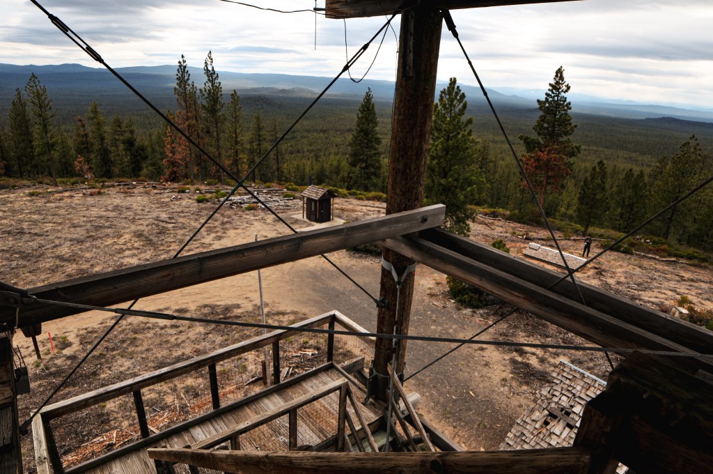
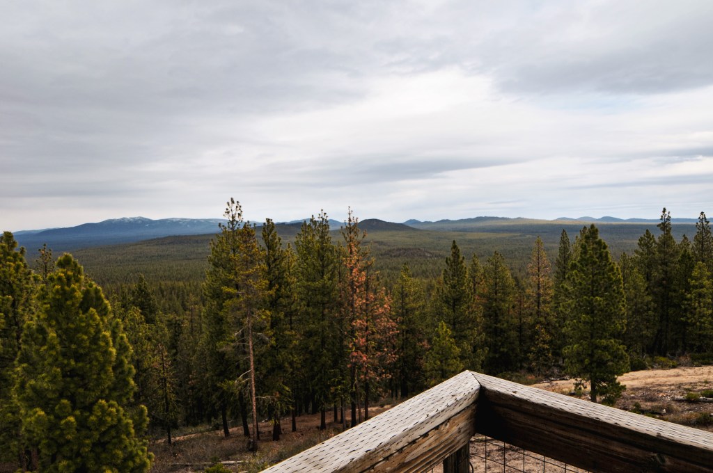
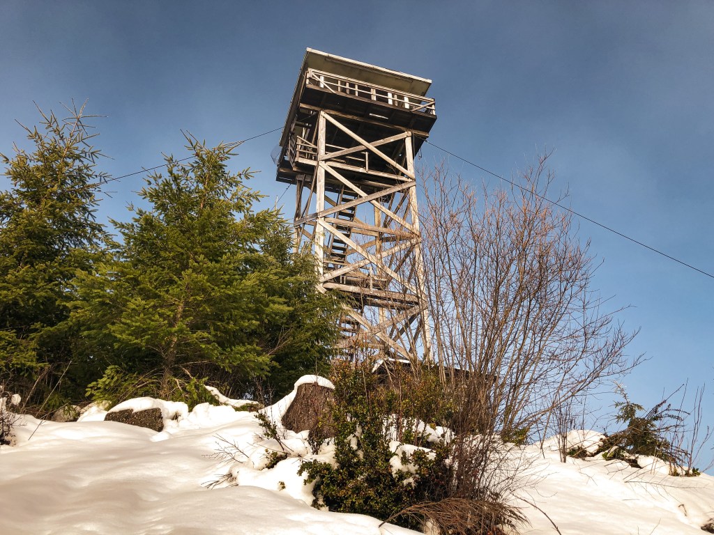
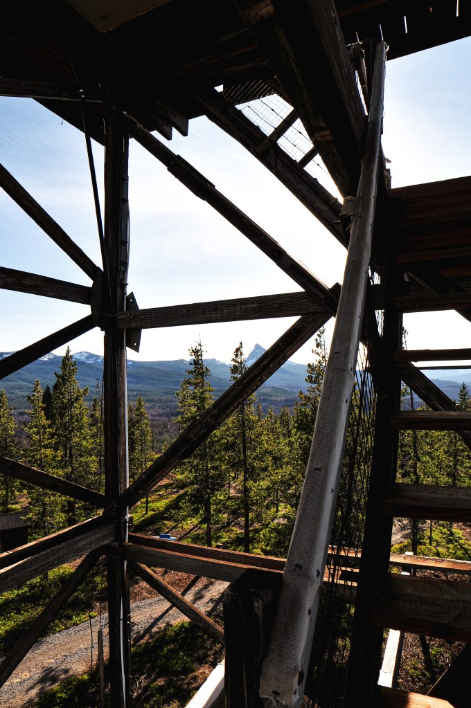
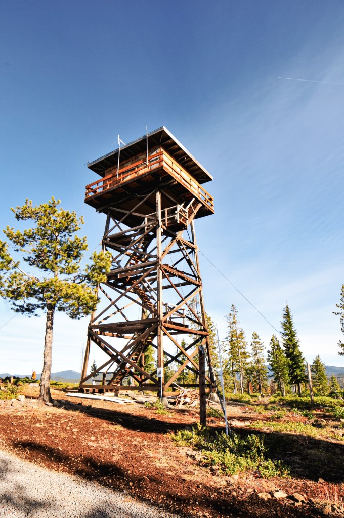
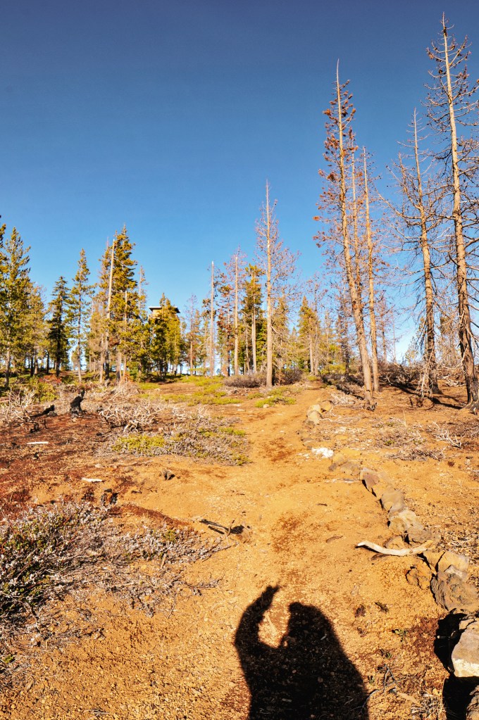
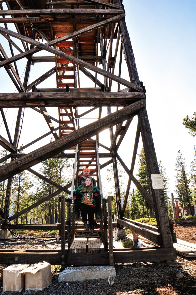
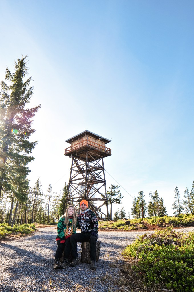
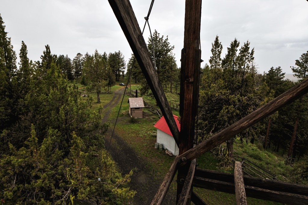
The lookout on Dry Soda was built in 1941 as a 14’x14′ L-4 cab with treated timber tower. A few sources listed the tower height as 50′ and other sources listed it as 60′, but I’m unsure which of these sources are the most accurate. There is also a shed and pit toilet on the summit. The structure almost burned in the 2015 Canyon Creek Fire. You can see signs of how close the burn got on your drive up. It continues to be staffed every summer.