Location.
Fremont-Winema National Forest
Status.
Active; Currently standing
Estimated drive time from Portland, OR.
6-1/2 hours
Date visited.
June 28, 2022
Elevation.
6,466′
National Historic Lookout Register.
US 332; OR 34
Trip Report.
Day 4/10: Lookout Road Trip 2022
We started our morning on Dog Mountain (post) and woke up a little after the sun had rose. It’s hard to sleep in when you’re on a mountain side with the sun in your face. We would be moving farther north today and needed to get up anyway. We packed the car and sleepily rolled our way down the mountain. We headed back out to Bly the same way we had came the day before and proceeded on to Horsefly Mountain. There was a brief pit stop at the Bly Ranger Station again to see if their water spigots were on. Unfortunately, they were not. We had checked a few State Parks and County Parks on our way to Dog Mountain (post) the day before as well, but all were off. Our next planned water refill wasn’t until 3 to 4 days from now in a completely different National Forest. After researching online, we realized the entire Klamath County had been declared in a state of emergency due to drought. This declaration prompted the county to restrict public access by shutting off water fill stations to conserve as much water as possible. If we had known before entering the county, we would have had the fore thought to refill at the Cascade-Siskiyou National Monument before leaving. Obviously, this is only a minor inconvenience for us to the larger issue at hand. Our solution was to buy 4 gallons of water at the gas station before heading on to our next stop.
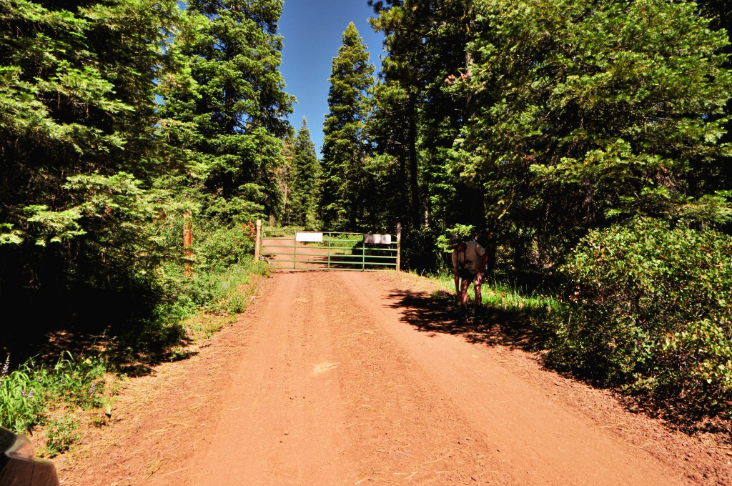
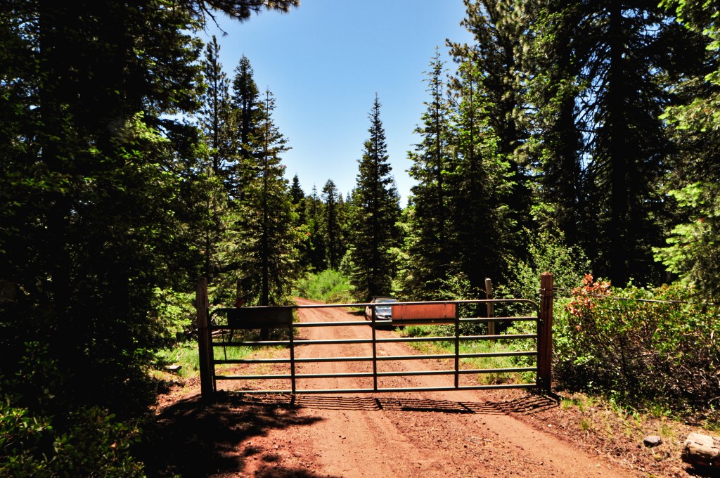
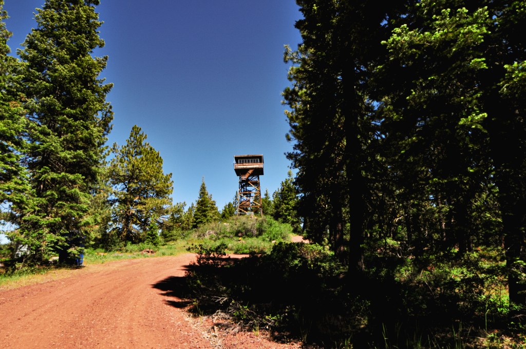

As the crow flies, Horsefly Mountain is only 9 miles south of the community of Bly. We headed out of downtown Bly via Elder Street and turned left onto NF-3752. Based on the map we planned to take NF-3752 to NF-3815 to NF-011 since it was a mostly four number route. But, the trip reports from Peakbagger (site) had a description of a different route. They mentioned the roads were good via NF-3752 to NF-3814 to NF-105 to NF-3815 to NF-011. If you’ve been on enough Forest Service roads you will know that the rule of thumb is two number roads are great, four number roads are good, and three number roads are trash. Obviously, this isn’t a hard fact but it is a good foundation when looking at routes within the forest. We were wary of the connecting NF-105 route, but turns out luck decided our route for us. As we were heading down NF-3752, we noticed that there were recent heavy equipment tracks along the edges of the road. The road itself seemed to have recently been regraded with only minor rocks and potholes to avoid. Apparently, it was more recently regraded than we thought because we were soon met with the grading machine slowly making it’s way along NF-3752. We were right at the junction with NF-3814 and the grader was blocking the road to continue any farther in the other direction. NF-3814 it is! We drove along this road until we came to the first major road leading off to the left. This was NF-105. There was a sign standing at some point but it is now worn out and on the ground. We were happily surprised to find NF-105 was a decent road and had minimal hazards to avoid. You should be able to reach the gate as along as you keep right at all the junctions along this road. The first junction is with NF-3815 but is unsigned. The second junction is with NF-011 and does have a sign. All the roads ended up being drivable in a low clearance vehicle with minimal caution. From the gate, it is only a few hundred yard walk to the lookout.
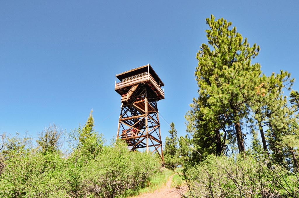
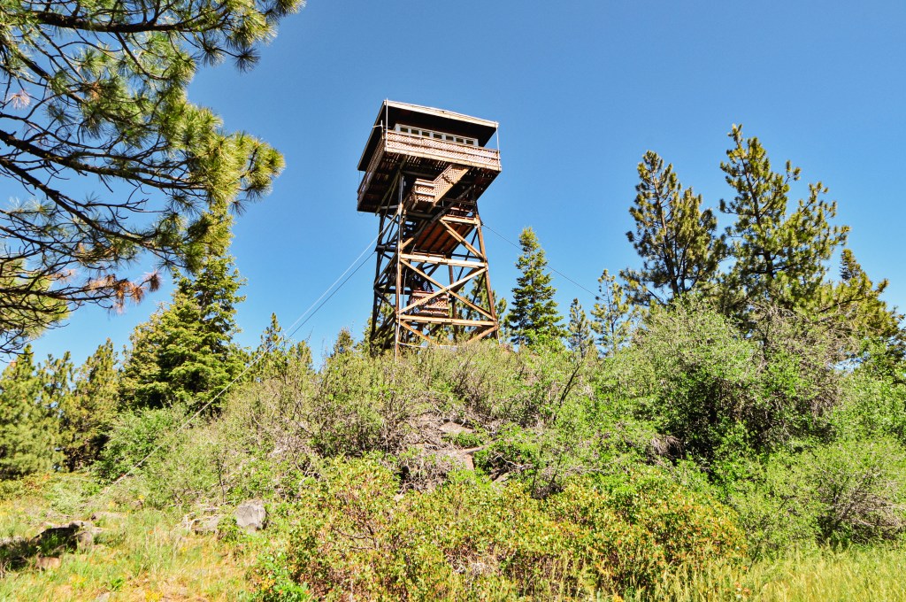
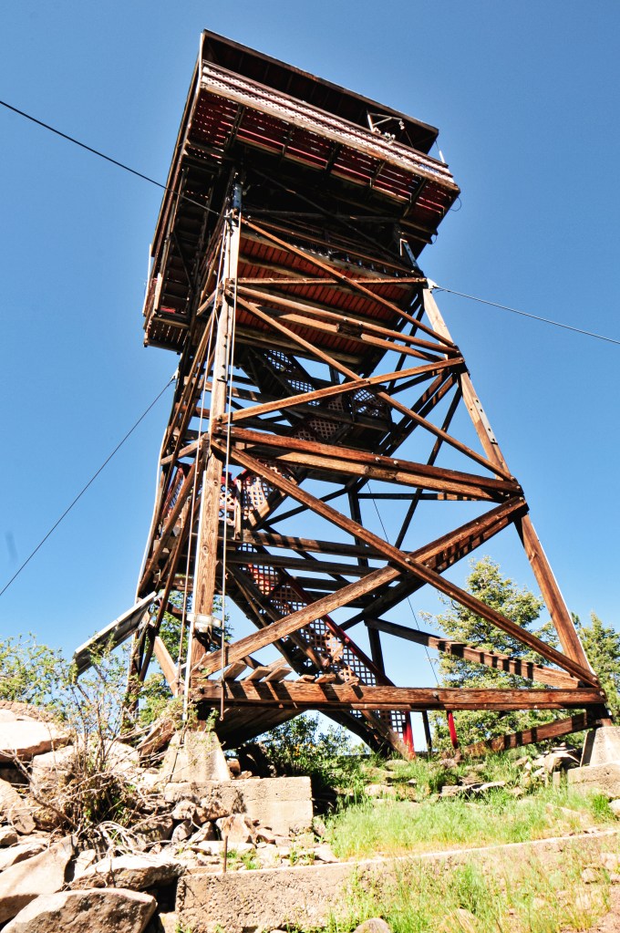
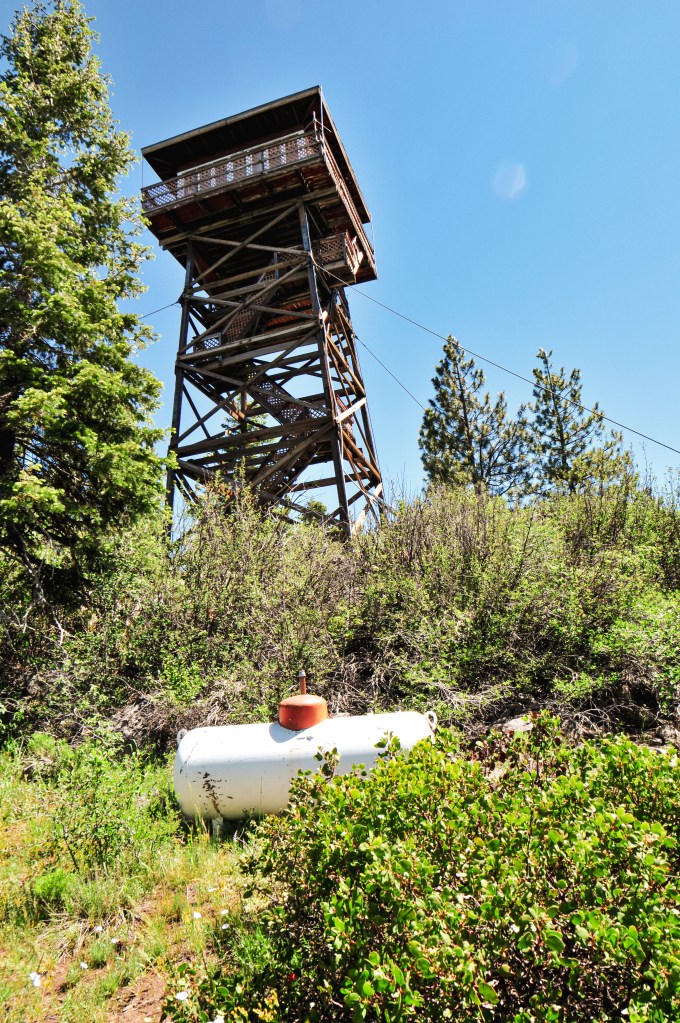
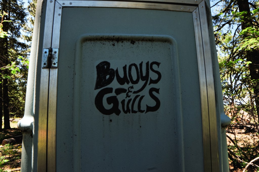
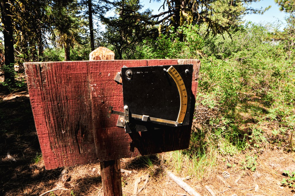
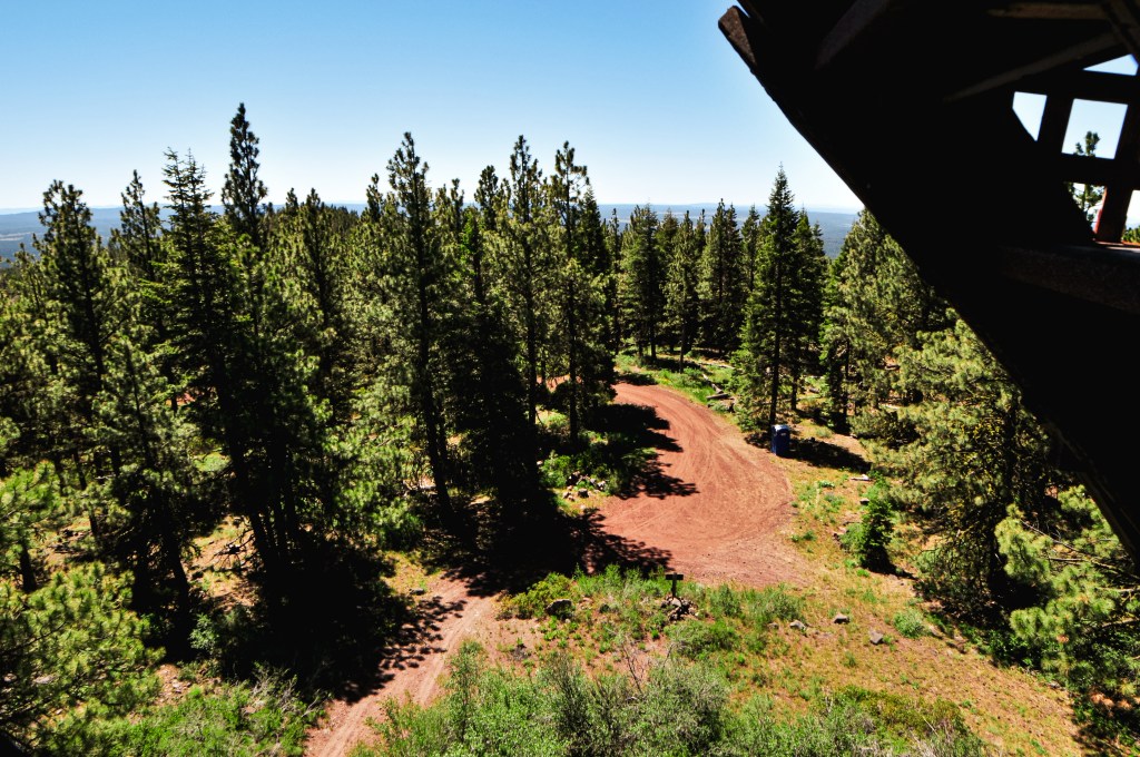
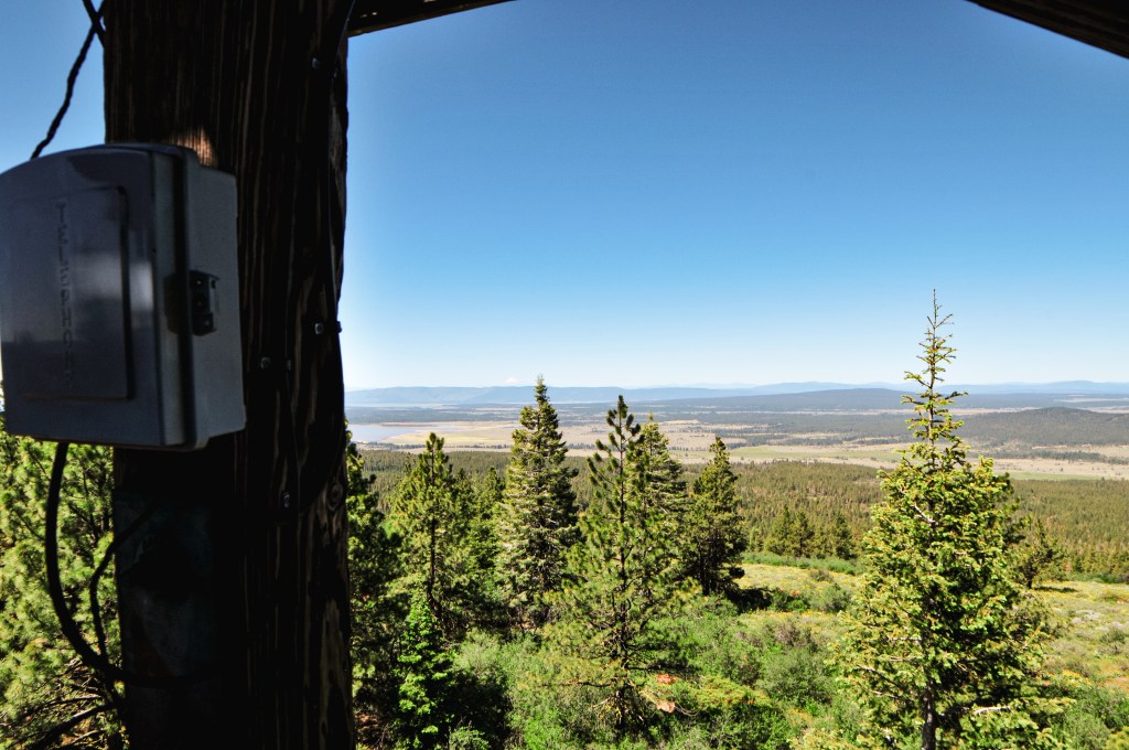
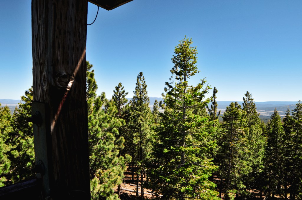
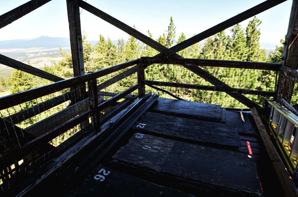
We were once again met with a lookout open for the season with no one currently occupying it. We assumed this was a similar situation to Parker Mountain (post), where we had shown up on their day off or they had yet to start their season. Given the upcoming holiday, we were still a bit surprised. We climbed the tower to get a better view since we couldn’t see anything from the ground. The catwalk was locked up, but we were still able to see a few points of interest between the trees. Our timing on this portion of the trip was a bit flexible. We planned it that way since we weren’t sure how much road walking we would have to do to get to some of these lookouts. Things seemed to be going in our favor, driving wise at least, and we had additional time in the day to move on to the next lookout. We hoped to have similar luck at Calimus Butte (post).


History.
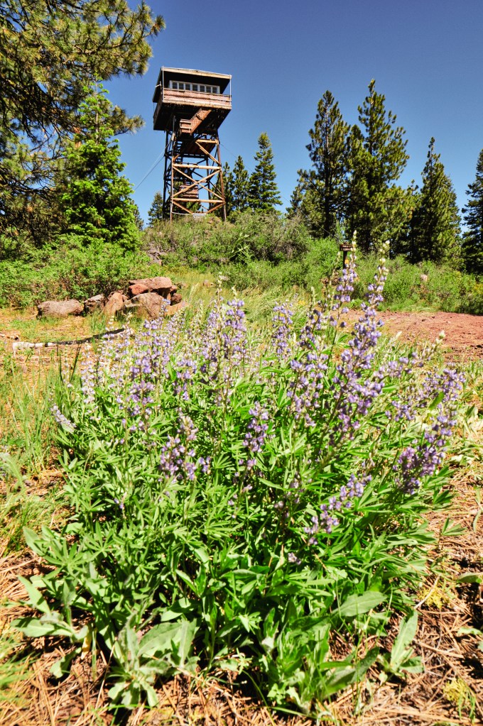
In 1932, the Klamath FPA built an open platform tower on the southern portion of Horsefly Mountain. This site was built to assist Yainax Butte with cross shot views in their blind spots. It was quickly replaced by a more substantial structure in 1934 by the CCC. The new lookout was a 14×14 L-4 cab with 37′ timber tower and accompanying 16×18 wood framed garage. The current structure was built in 1961 when the previous lookout was considered unsafe for continued use. This lookout is an R-6 cab with 41′ treated timber tower and continues to be staffed every season.