Location.
Josephine County; Oregon Department of Forestry
Status.
Fire Detection Camera; Currently standing
Estimated drive time from Portland, OR.
4-1/2 hours
Date visited.
June 25, 2022
Elevation.
3,834′
National Historic Lookout Register.
US 741; OR 113
Trip Report.
Day 1/10: Lookout Road Trip 2022
Our alarm went off begrudgingly at 6:30AM, a time at which we would wake many more times this trip. We had a jam packed road trip planned to visit 17 fire lookouts, potentially 18 if things went our way, in southern Oregon over the next 10 days. My partner and I knew we needed to get up if we wanted this to work, but the lack of sleep had us calling for the snooze button. I made the mistake of thinking I could squeeze in an afternoon hike and dinner with my friend before finishing off my needed prep the night before. Of course, things took longer than expected and I wasn’t in bed until well after midnight. My partner works a swing shift, so he’s typically not home until around that time as well. Needless to say, we are not early risers by any means (although I was for a brief time during my mid-twenties). Eventually we were able to collect ourselves enough to climb out of bed and start packing the car. Our plan for the day was to bomb down I-5 towards the most southern portions of Oregon. We would hit Sexton Mountain then cross over HWY-140 to Robinson Butte (post), and if time permitted we would head up to Table Mountain (post) on our way to camp.


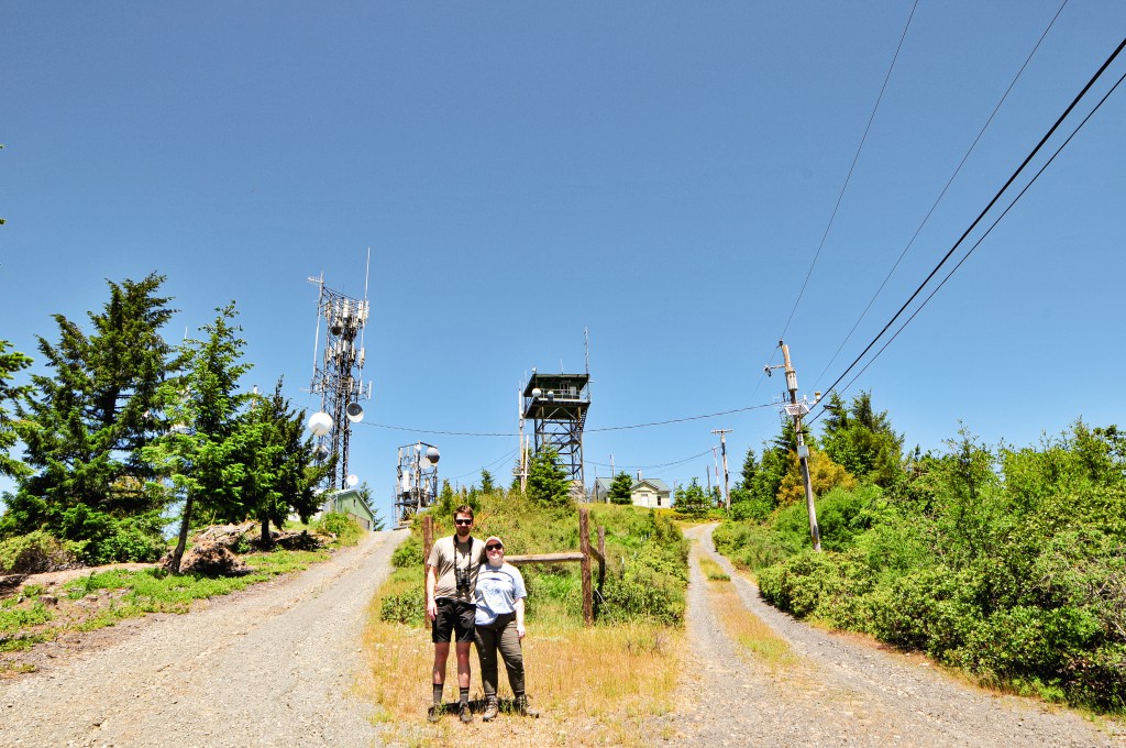
Sexton Mountain is located just off I-5 outside of the community of Sunny Valley. We were following directions from a Geocache (site) that mentioned a route suitable for most vehicles. From I-5, we took exit 71 and turned left onto Sunny Valley Loop Road. You will want to take a right on to Placer Road that is immediately after the single lane covered bridge over Grave Creek. You will take another right onto Beecher Road that will eventually turn into BLM Road 34-6-12 that takes you to the junction of BLM Road 34-6-23 with a locked gate. It is around 5 miles from Placer Road to the gate. The road was passable but not necessarily great for low clearance vehicles. On the steeper sections there was wash out from water run off to straddle and the flatter sections had pot holes to avoid. The junction before the gate has ample parking for a few cars, though I doubt you will see anyone else. From the gate, you will need to road walk a little under a mile to reach the summit.
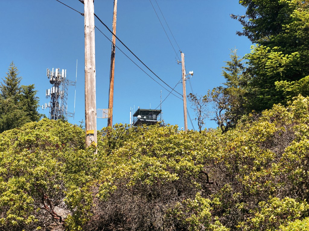

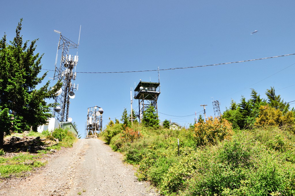
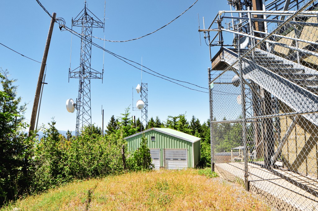
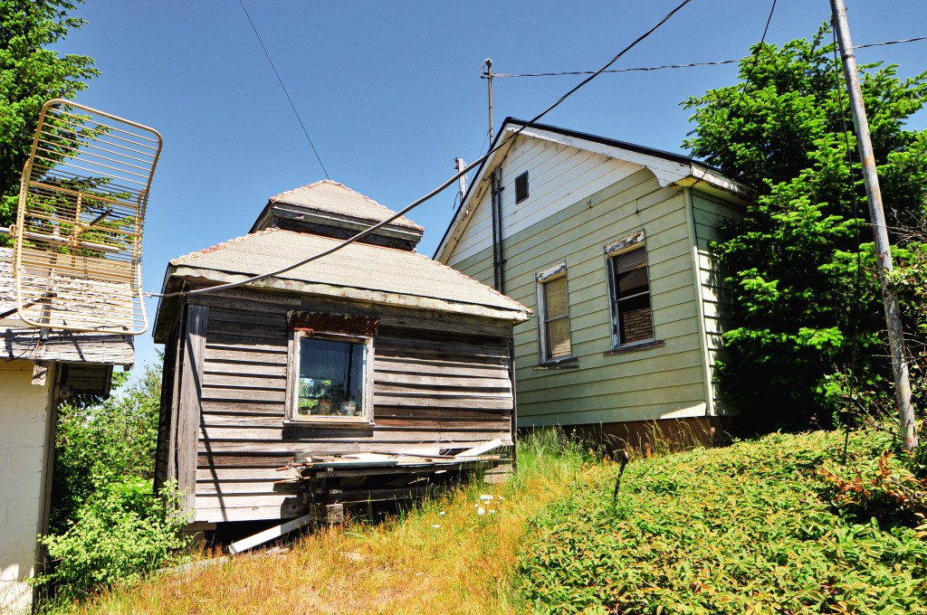
Summer decided to finally show itself with 90+ degree weather forecasted for the upcoming week. Given our recent bout with a wet spring, we had little to no time to acclimate to this warmer weather. I could feel the moisture leave my body the second I stepped out of the car and started hiking up the road. I was drier than the Alvord Desert despite constantly consuming as much water as possible. The hike to the summit isn’t long but it felt fairly steep. I struggled my way to the top with every hot dusty step. On the hike up, we were surprised to see two jeeps bumping down from the summit. At first I thought they must be some sort of maintenance crew since they were behind the gate, but then they took off on a bumpy road that seemingly headed straight down the side of the mountain. The summit is littered with communication towers and the lookout tower itself is locked behind a barbed wire fence. There wasn’t much of a view from the base either. It was definitely one of the least pretty summits we’ve been to so far. The original historic D-6 cupola cabin from the 1920s was cool though. We spent very little time on the summit due to the oppressive heat and pressed on to Robinson Butte (post).


History.
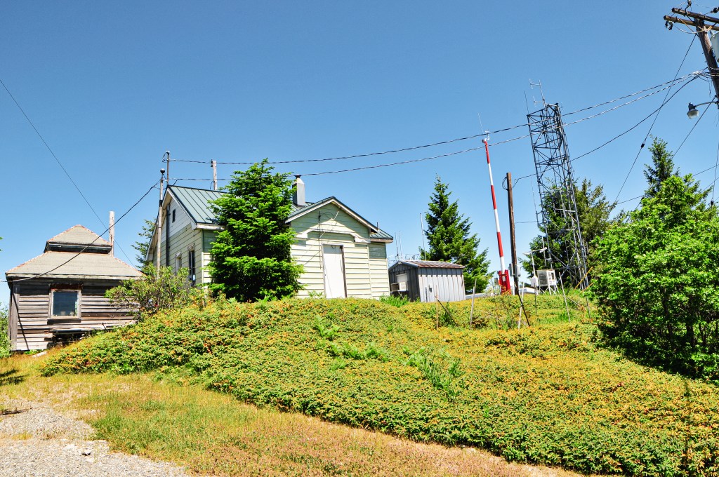
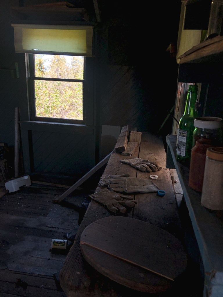
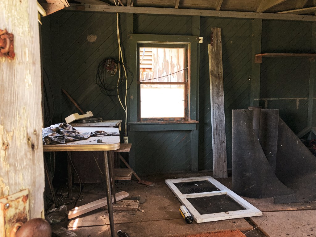
Sexton Mountain was first established for fire detection in 1914 with a tent camp. A D-6 cupola cabin was constructed in 1920 and was used as the main lookout until 1932. They moved the existing D-6 cupola cabin over, lowered the cupola, and converted it into living quarters while a house with taller cupola was built for their working quarters. In 1962, the house with taller cupola was moved and turned over to the US Weather Bureau. A 30′ timber tower with Amort ODF cab was built to replace the house. It was maintained and used up until April 2006 when some vandals burned it to the ground along with some repeater antennas. The damages were estimated around $500,000 according to the Oregon State Police. A replacement all-steel 40′ live-in tower with flat roofed cab was built in 2007 and staffed well into the 2010’s. It is now only used in emergencies and the original D-6 Cupola from the 1920s can still be found on the summit.