Location.
Okanogan-Wenatchee National Forest
Status.
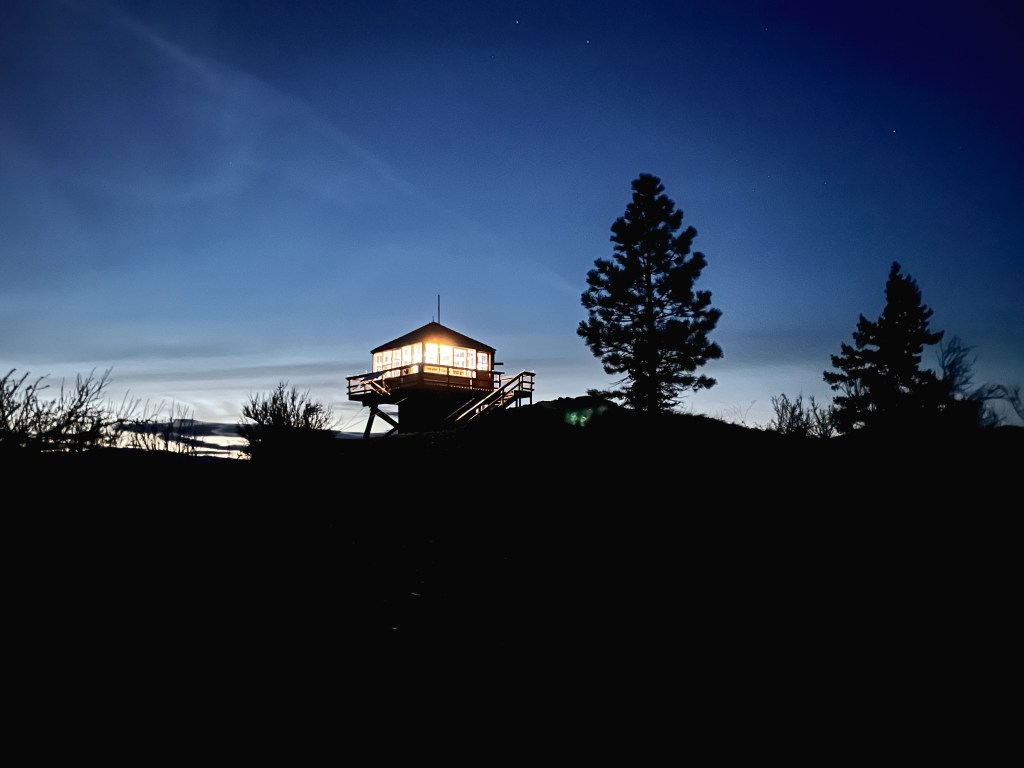
Rental program; Currently standing
Estimated drive time from Portland, OR.
5-1/2 hours
Date visited.
March 25-27, 2022
Elevation.
2,586′
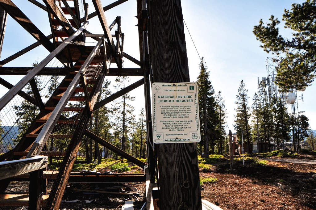
National Historic Lookout Register.
US 1096; WA 62

Trip Report.
My partner and I found Steliko Point L.O. when we were researching how many lookouts are currently on the rental program in Washington. We were surprised to find that there were still a decent amount of openings for reservation, unlike Oregon lookout rentals that book up the instant they are listed as available. I’ve always wanted to stay in a lookout but never really took the time to do my research to obtain a reservation. We picked the last weekend in March because we wanted a weekend that would possibly be snow free, decent weather, and still have the gate up on the road. Based on past trip reports my Civic wouldn’t have made it up the road anyway and we wanted to decrease the amount of un-expected visitors possible.
Friday.
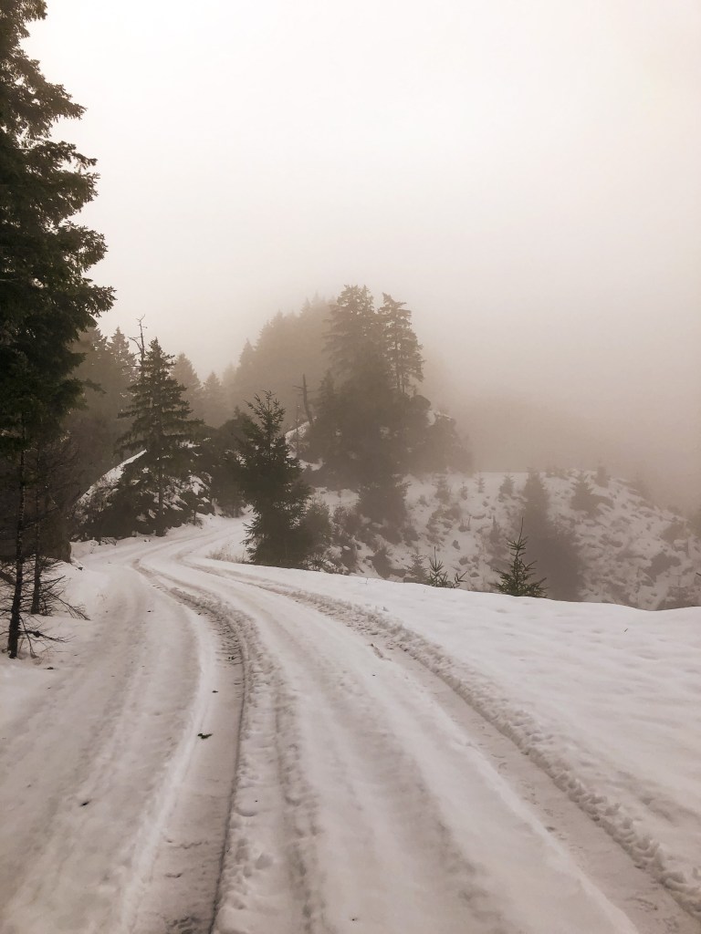
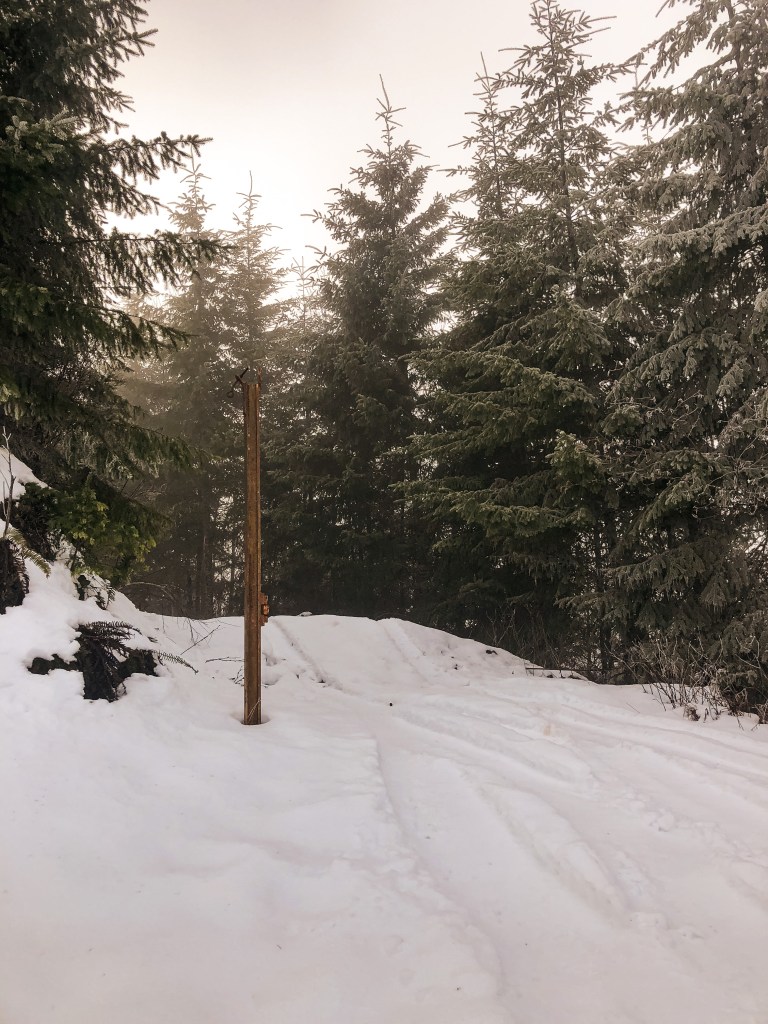
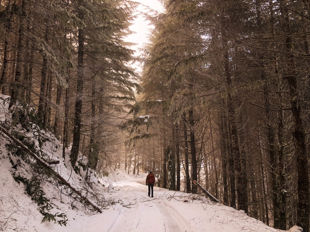
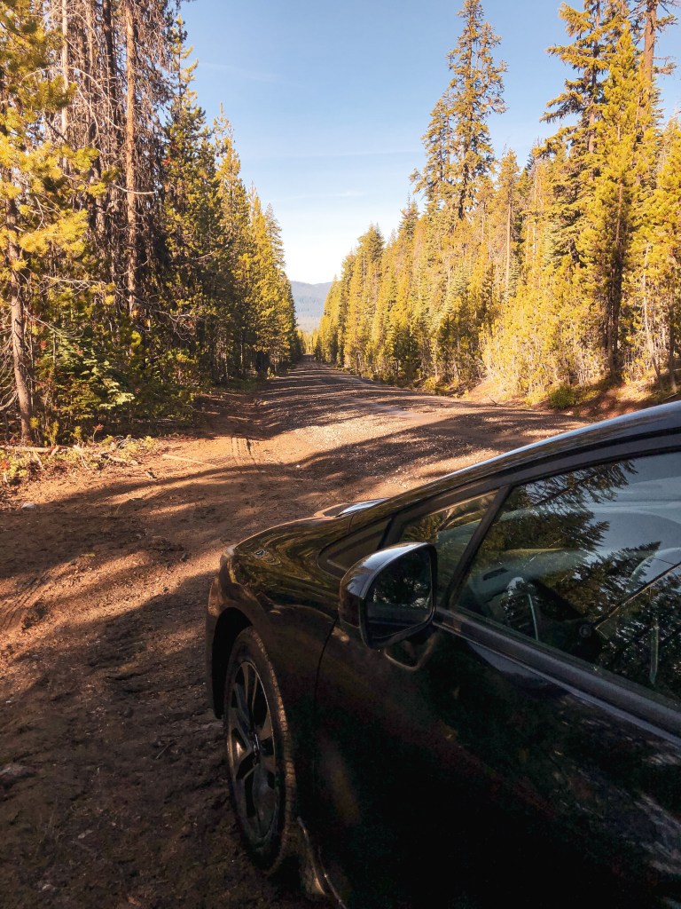
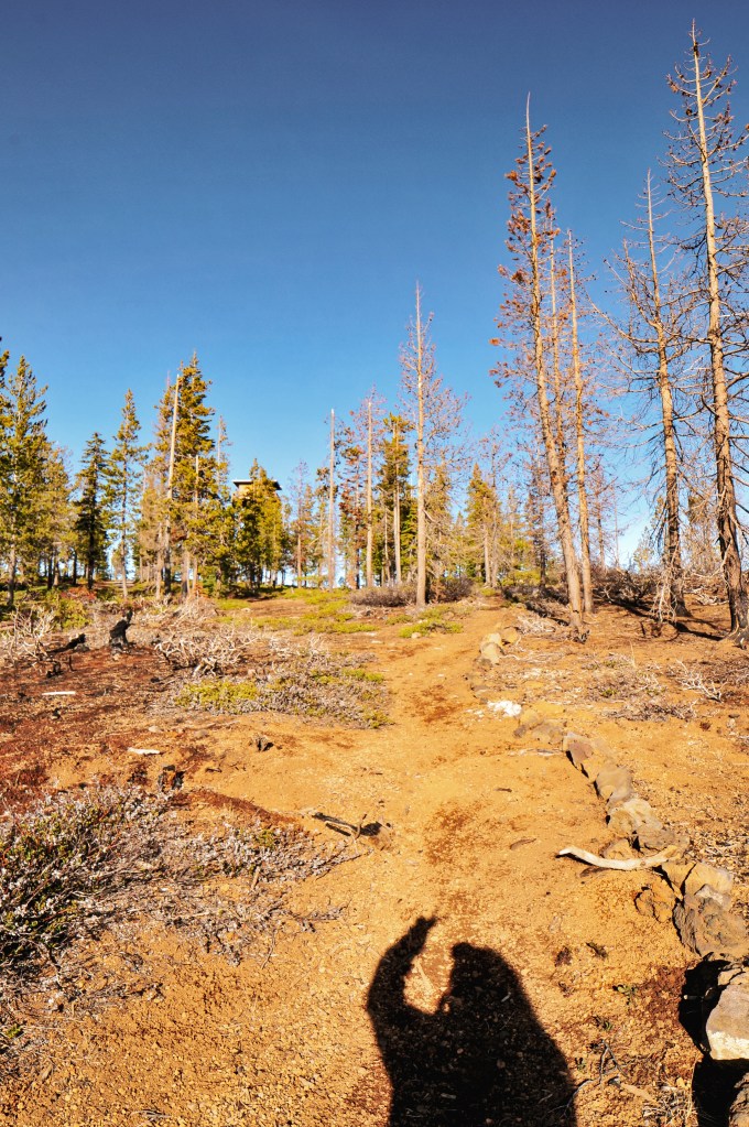
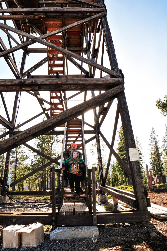
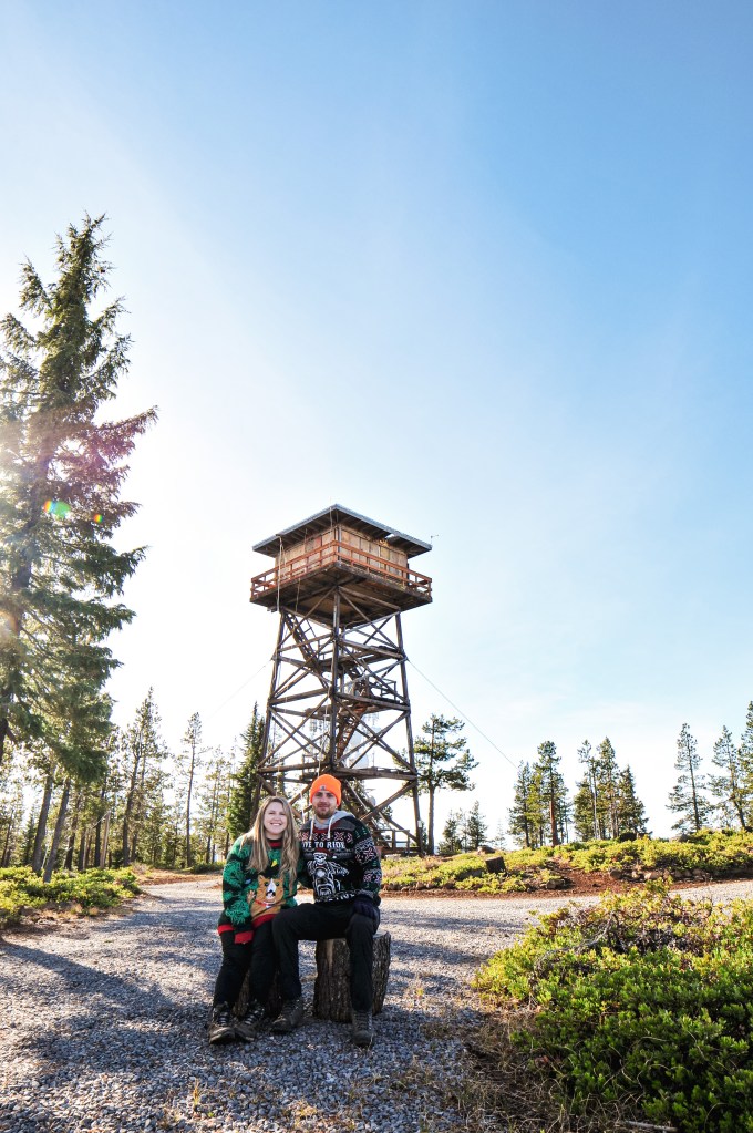
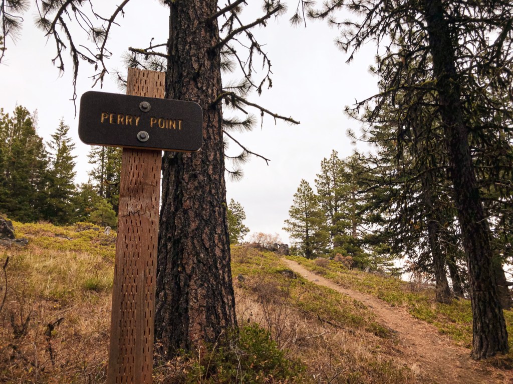
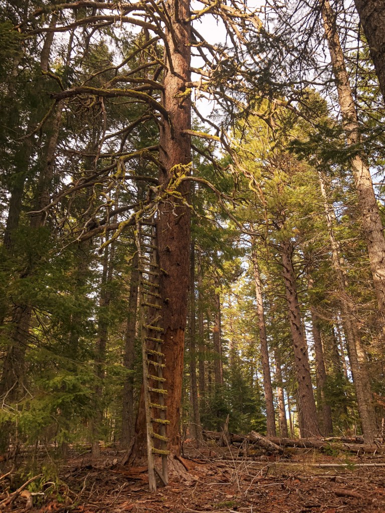
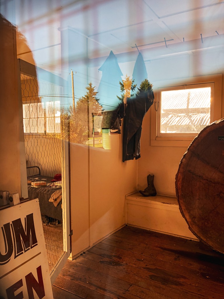
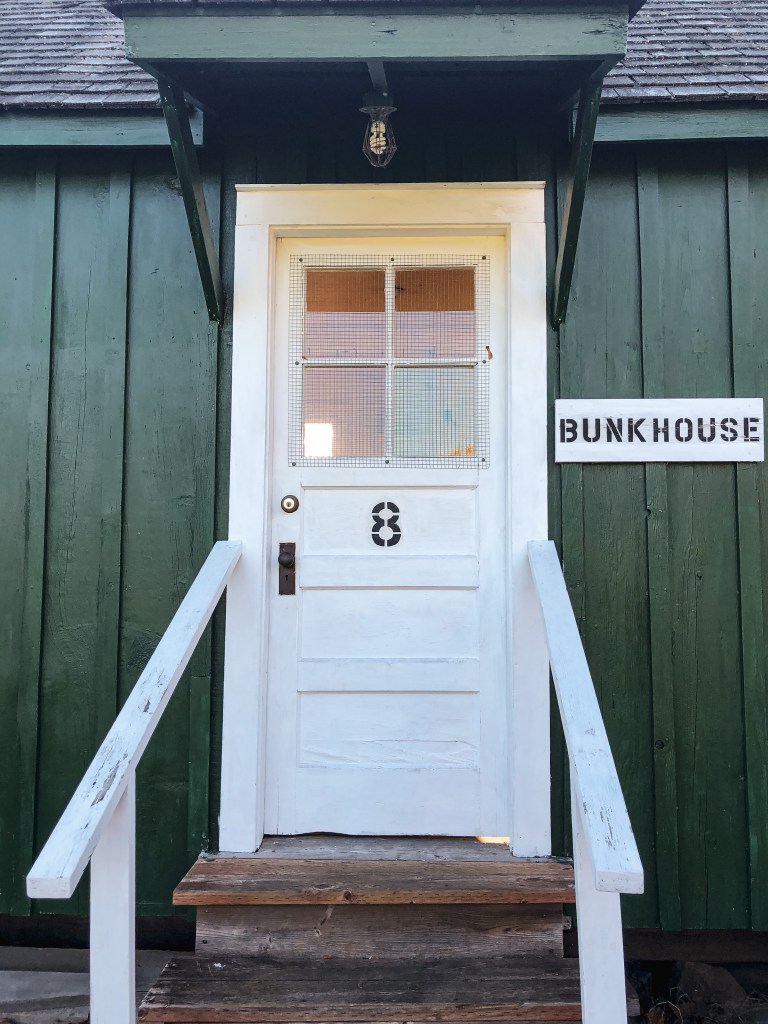
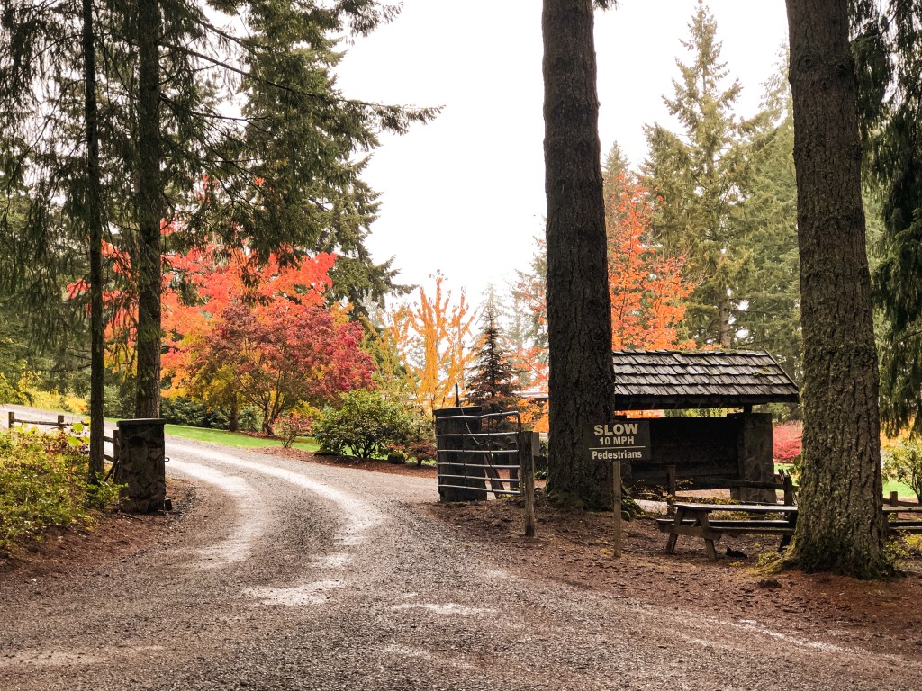
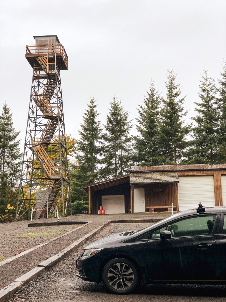
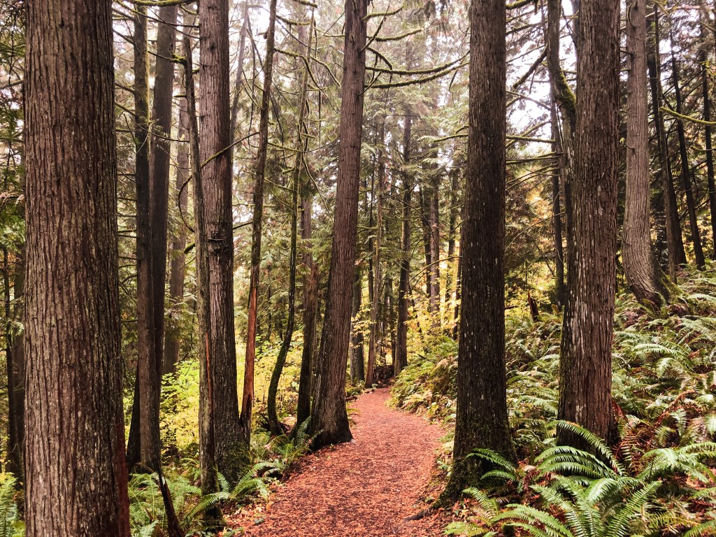
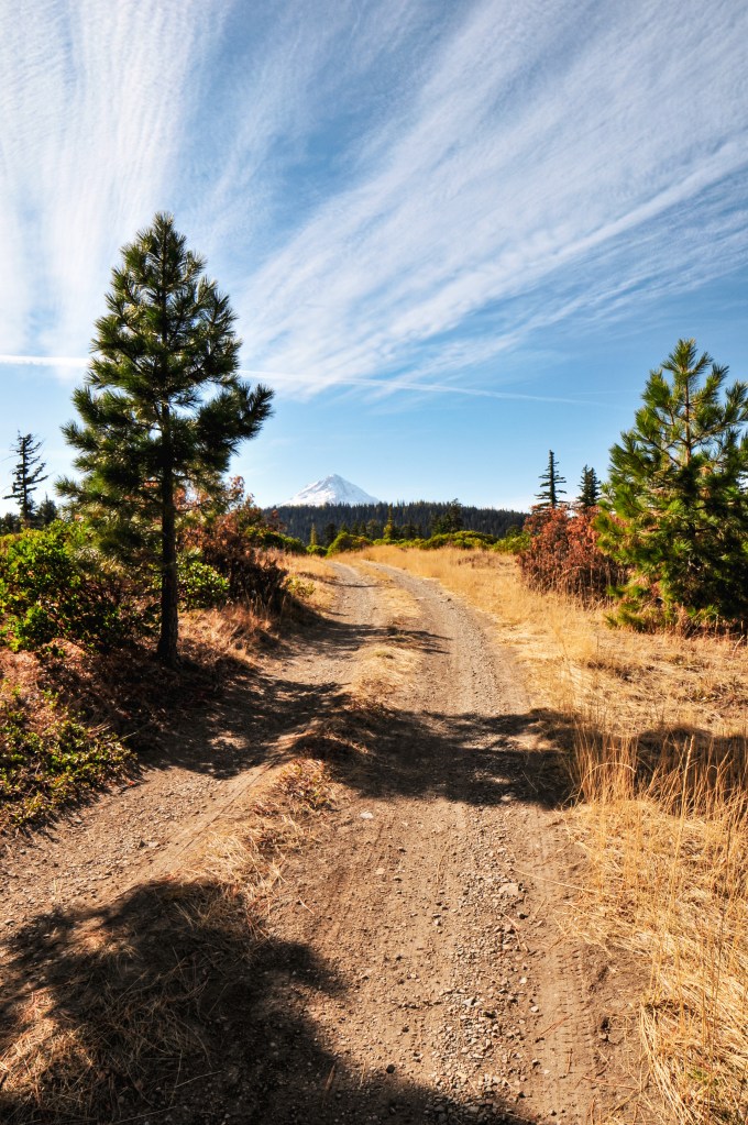
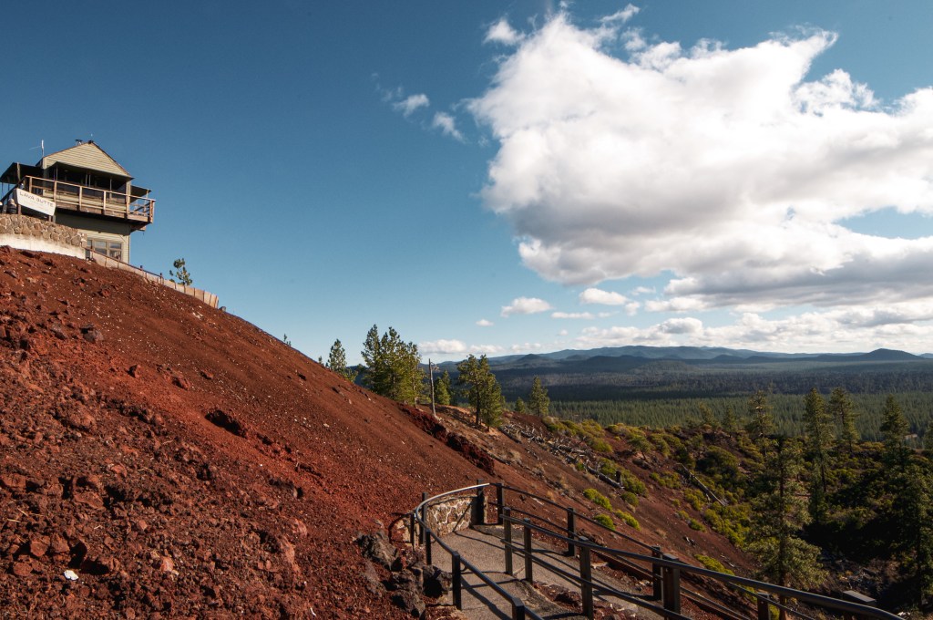
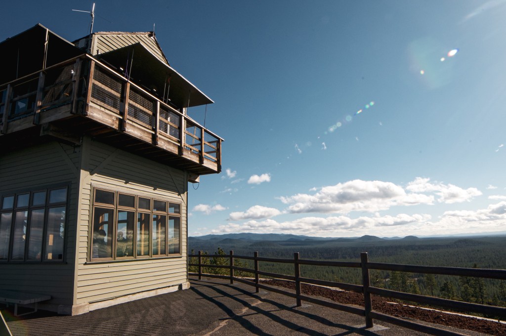
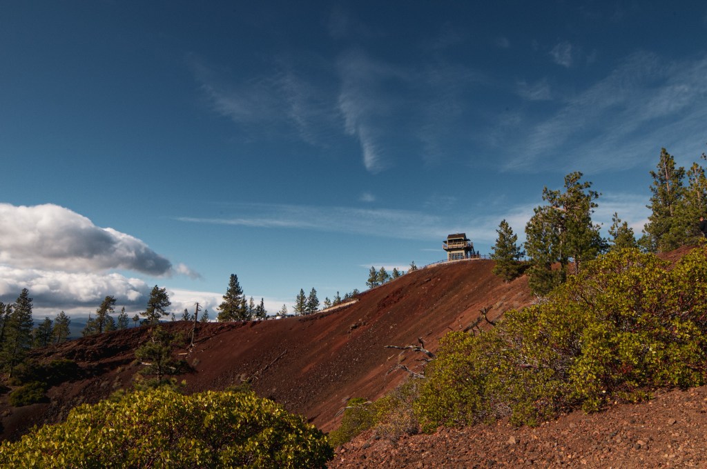
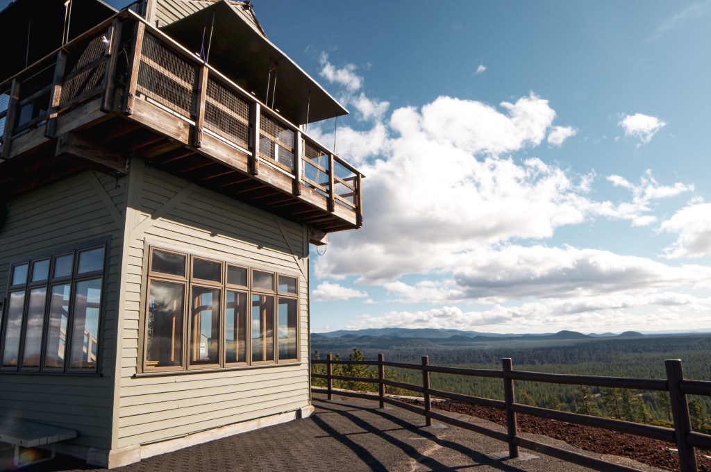
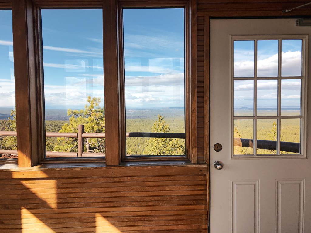
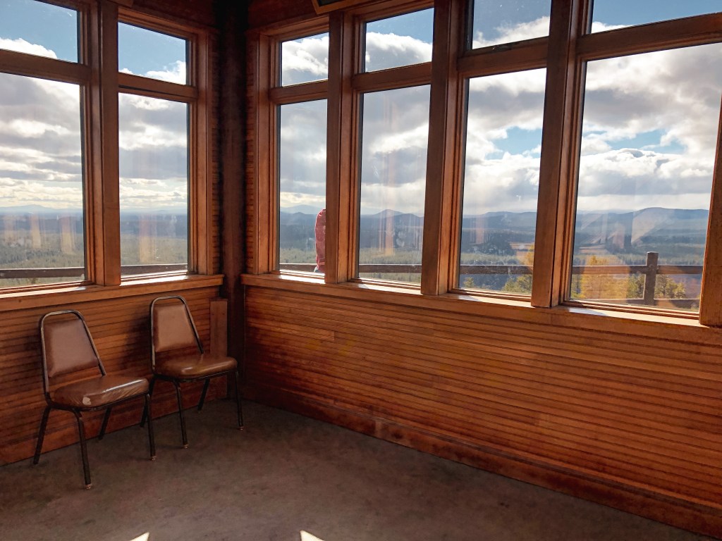
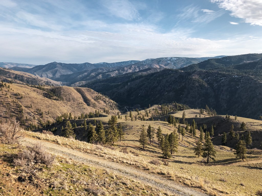
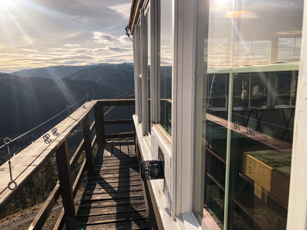
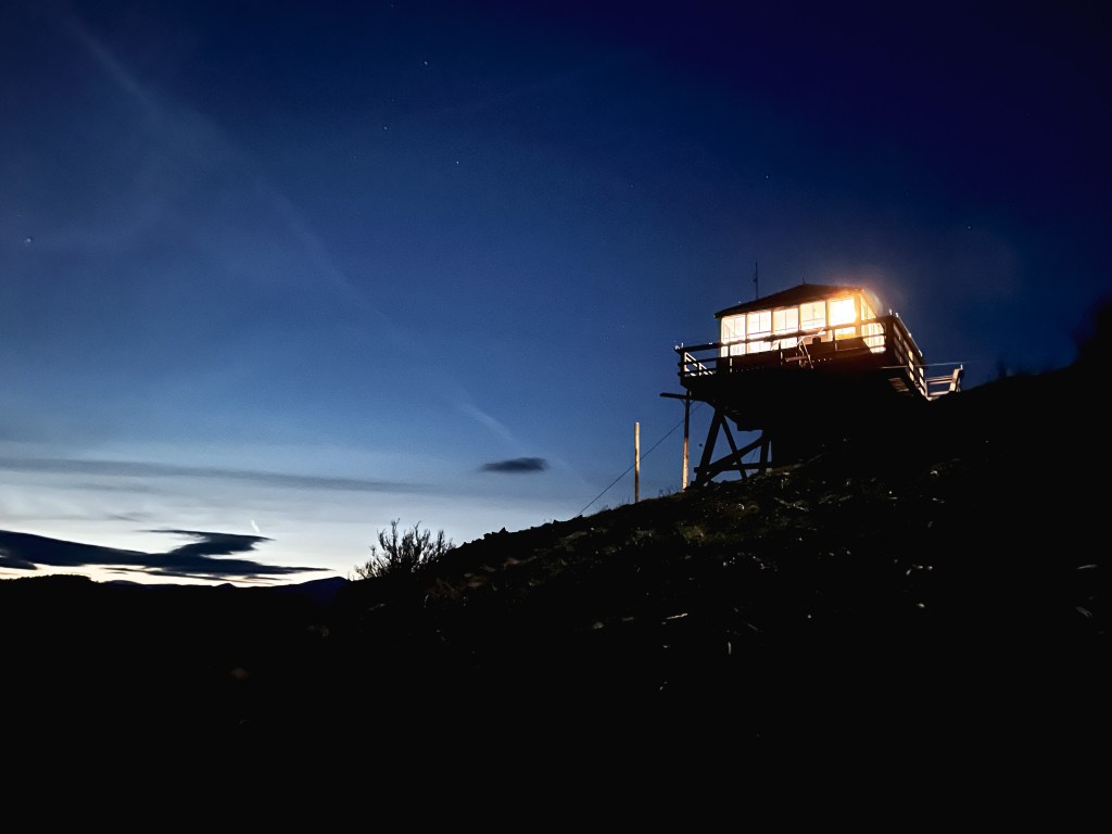
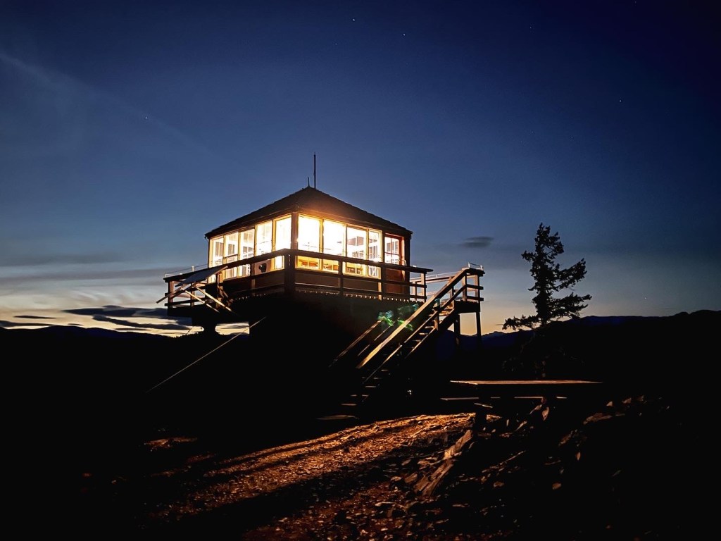
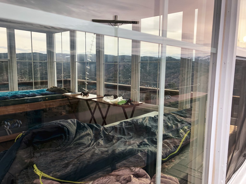
We woke up early Friday morning and started our long drive towards Steliko Point. There are a few ways to get there from Portland but we decided to head up I-5. From I-5 you will need to cross over via I-90 to connect with HWY-97 to eventually get to HWY-97A. We made a quick stop in Entiat to refuel and visit the Columbia Breaks Fire Interpretive Center (post). A must see if you are a lookout enthusiast like us! After visiting the museum, we headed back down HWY-97A and turned right on to Entiat River Road towards the town of Ardenvoir. Just past Ardenvoir you will turn right on to Steliko Canyon Road which turns into NF-5310. The road will be gated but there is a sign for parking near the Forest Service sheds. You will need to park parallel with the cement blocks. Once parked we had a quick lunch and loaded up our packs for the short but steep 1.6 mile trek up the road. You will gain around 1,200′ of elevation during your hike. The lookout is outfitted with mattresses, folding tables, a propane stove, a propane fridge, heater, and other basic cleaning amenities. This means you can leave your sleeping pad and camping stove at home. The only essentials we had to carry up were our clothes, cook ware, sleeping bags, food, and water. There is no water source at the summit and it is a very exposed area, so make sure to plan accordingly. We over shot on the amount of water needed by bringing (1) 3 gallon jug, (2) 3 liter hydro packs, and (8) 32oz Nalgene bottles worth. The amount of water weighing us down made the hike up harder than it needed to be. Once at the summit you are able to access the lookout via keyed entry. There is a lockbox that you are given the code to with your reservation. We were surprised to find that previous guests had stocked the lookout with even more amenities than listed. You shouldn’t assume there will be everything you need there but there are a lot of leave behinds incase you do forget something such as games, cooking utensils, books, food, and even water. I loved the community feel and connection it gave from past guests especially after reading the entries in the guest book. This lookout has only been on the rental program since November 2019 and had a brief gap where it was closed from April 2020 until May 2021 due to the Pandemic. Or at least that is what I gathered based on the gap in entries from the guest book. We enjoyed our dinner with a nice sunset before heading to bed early. We were both tired from the long day of driving to get there.


Saturday.
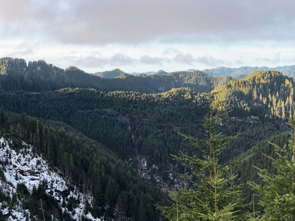
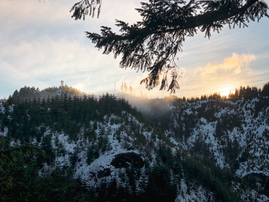
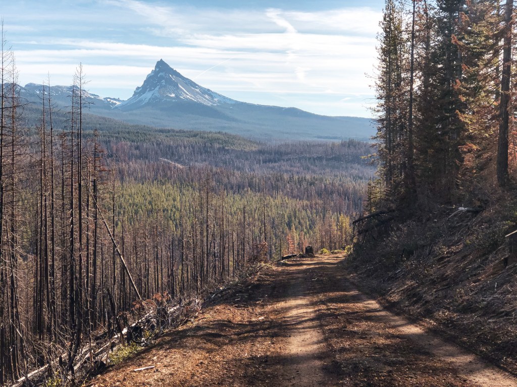
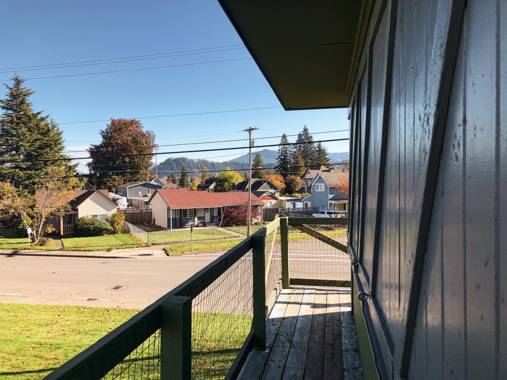
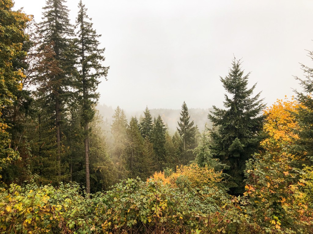
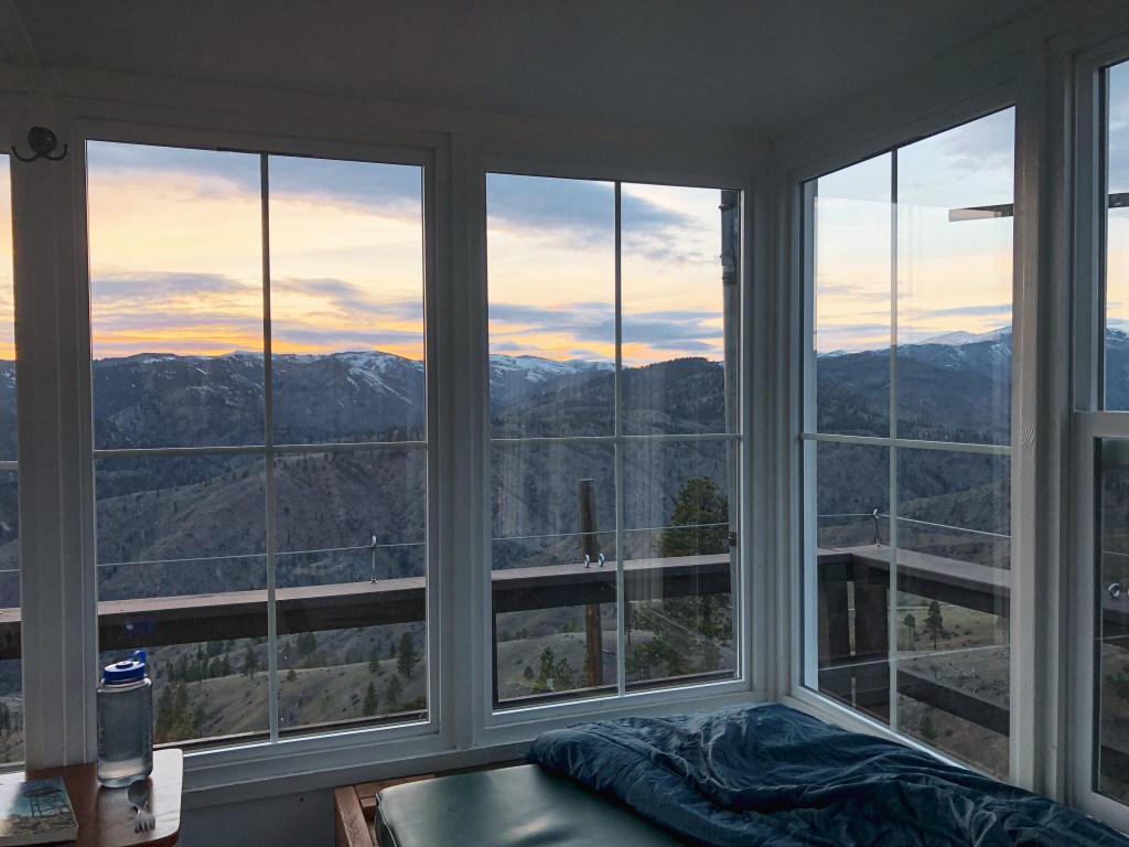
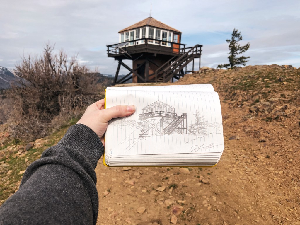
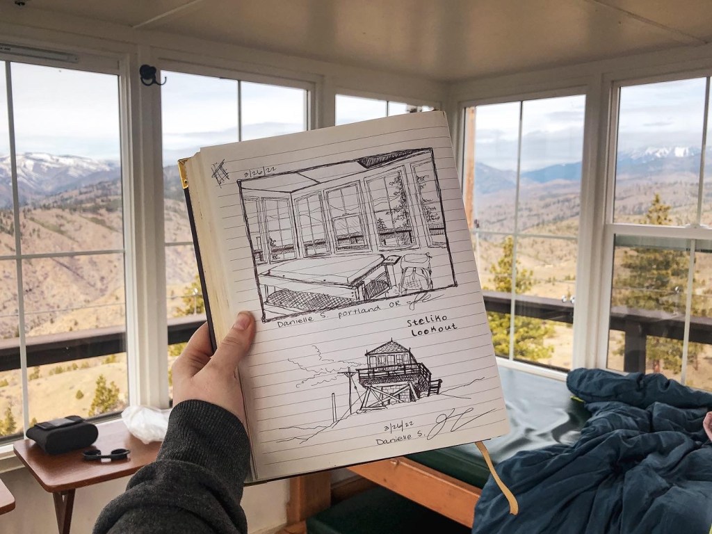
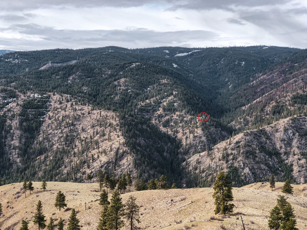
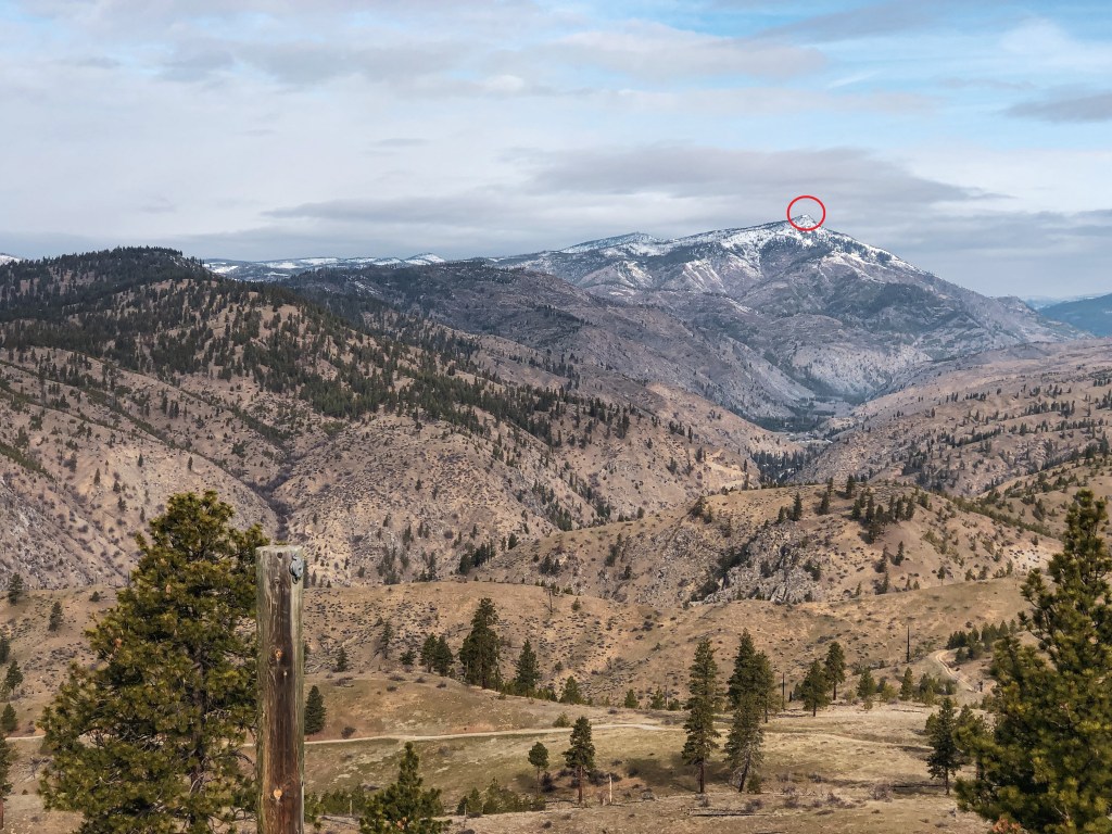
I woke up at 6:30AM to see if I could catch the sunrise but it was mostly clouded and didn’t offer anything spectacular. We still had great weather for most of our trip with mild temperatures and partly cloudy skies. During breakfast on the catwalk we were able to spot 40+ mule deer grazing on the hillsides. I read that this was a known area for their winter range and that they were frequently spotted from the lookout, but I didn’t think we’d see so many of them together. We were also able to spot Tyee L.O. and another lookout that someone built on private property. A trip report mentioned that you could see Sugarloaf Peak L.O. from here as well but the mountain that they identified was actually Baldy Mountain. After breakfast, my partner decided to hike along the ridge trail while I hung around the lookout to read and draw. He came back for lunch and we relaxed around the lookout for most of the afternoon. A day hiker with their dog was the only person we saw for most of the day. My guest book entry mentions that this is the only person we saw the whole trip but that is inaccurate. Later in the evening, we decided to hike down to the ridge below where there is another road and walk around. My partner ended up hiking cross-country in a different direction, so I was back at the lookout earlier than him. While I was waiting for his return, a runner came up the road and climbed the catwalk. He said he was training as a wildland firefighter in the area but didn’t realize anyone was up here this time of year. I don’t think he knew this was listed as a rental. He apologized for spooking me and invading my space before heading back down. Our interaction was brief and friendly but it might be worth adding a sign somewhere visible for day hikers and visitors to be aware. After eating dinner, we both read the books we brought until it got dark. I ended up finishing my book while there and decided to leave it behind for future guests to enjoy. Hopefully someone enjoys true crime as much as I do because I left behind a copy of Red River Girl: The Life and Death of Tina Fontaine by Joanna Jolly. Saturday night was a bit stormy with mild winds and a sprinkle of rain. We even saw a bit of lightning in the distance as we were trying to fall asleep.


Sunday.
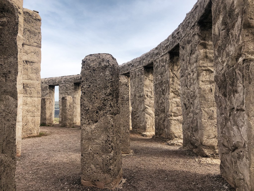
Sunday morning, we saw the same herd of 40+ mule deer while we savored our last few hours at the lookout. Part of the condition of your stay is to pack out your trash, sweep, and wipe down the counters. Although this rental is managed by Wenatchee Valley TREAD, It’s a collective responsibility to help keep this place in good condition for others to enjoy. We left behind any remaining water we didn’t use for future guest who might need it. We spotted some day hikers headed up the road while we were locking up and took that as our cue to leave. Our packs were significantly lighter than when we started and the hike down was a breeze. We passed another group of day hikers on our hike out and even saw the same wildland firefighter start his run up the road while we were having lunch at the car. Driving back to Portland, we decided to take the more scenic route following HWY-97 most of the way until it meets up with I-84. We could see Lorena Butte L.O. from our drive and stopped at the Stonehenge Memorial while in the area. Overall it was a relaxing and quiet weekend away.

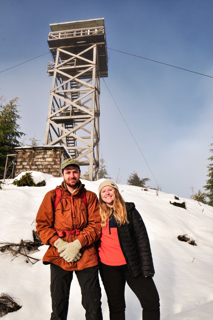
History.
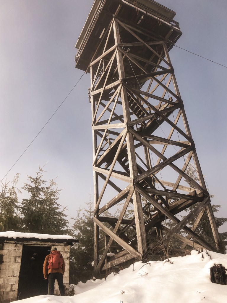
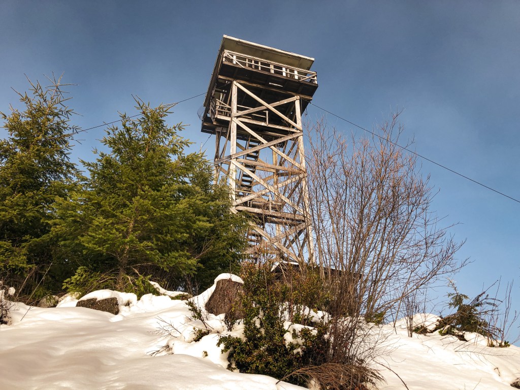
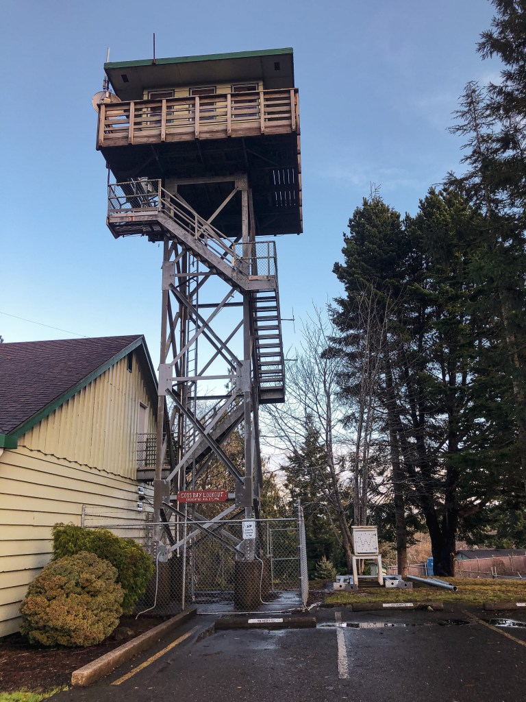
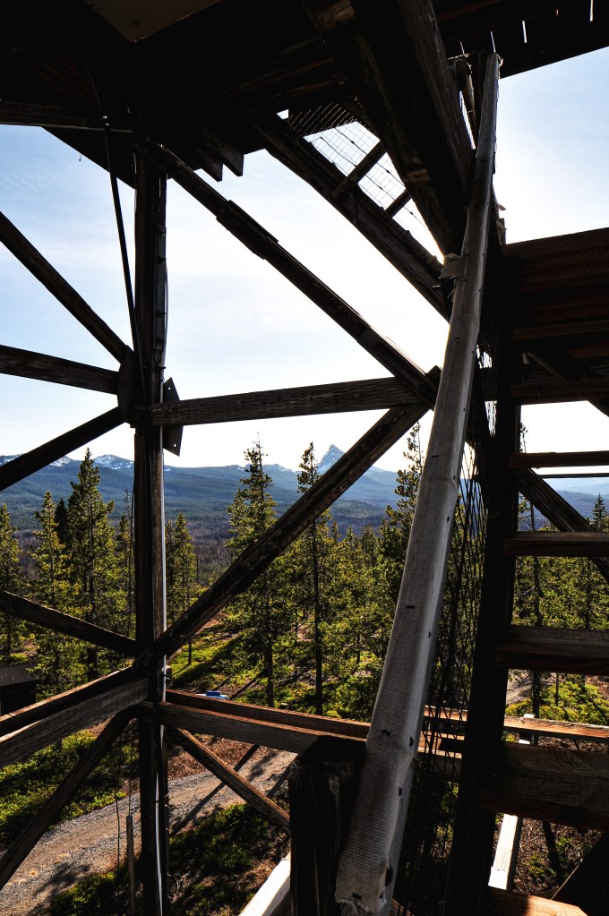
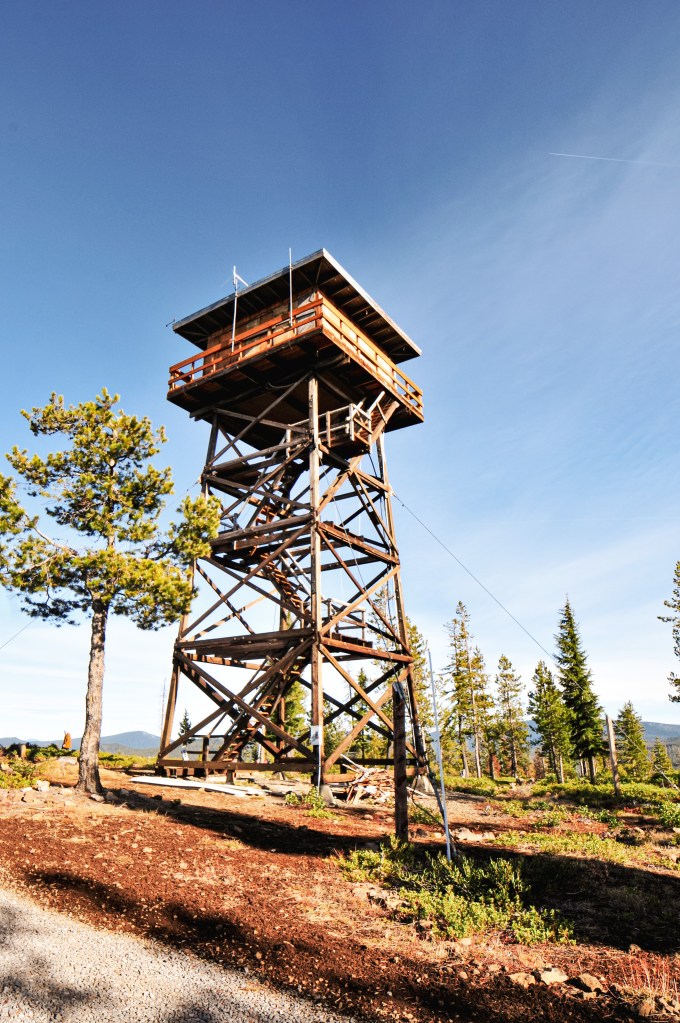
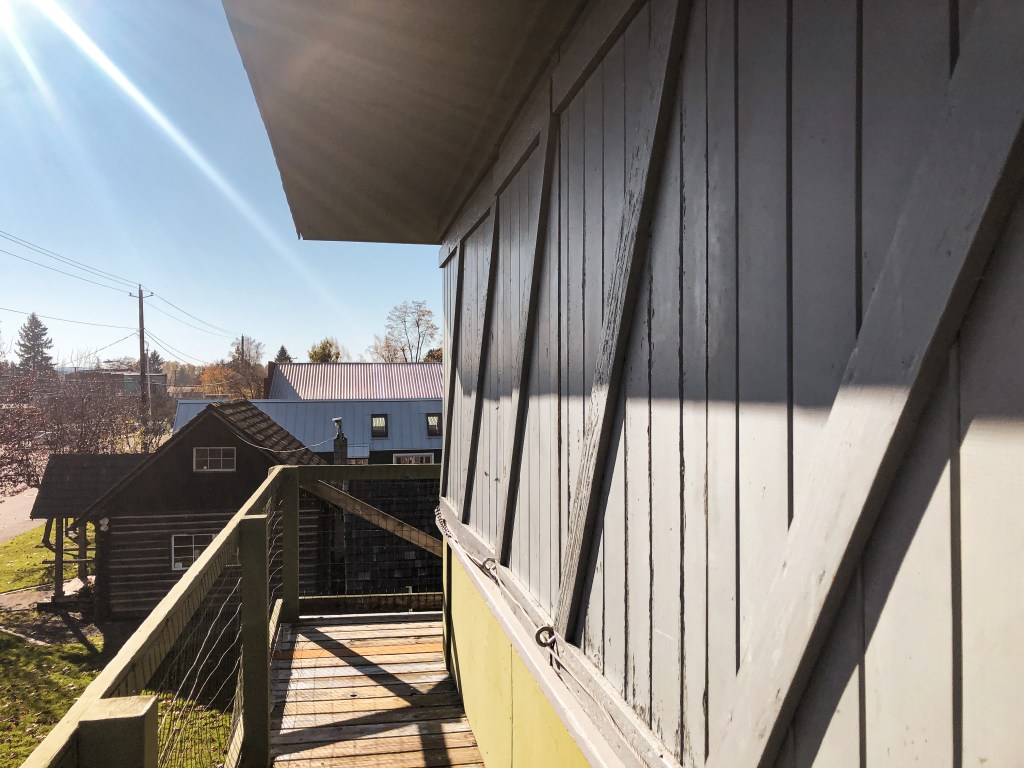
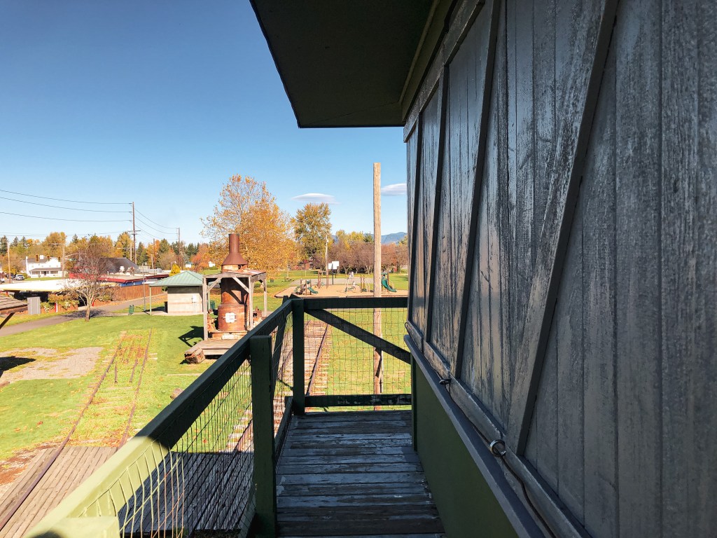
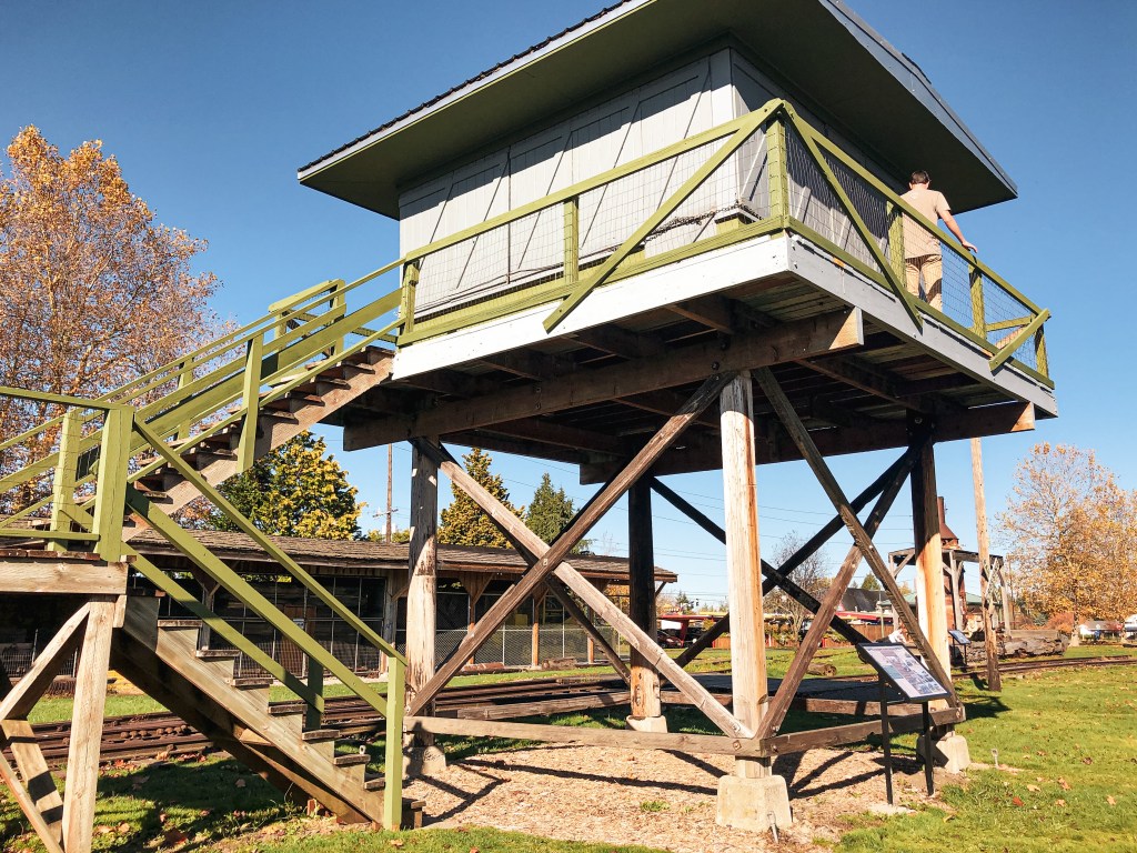
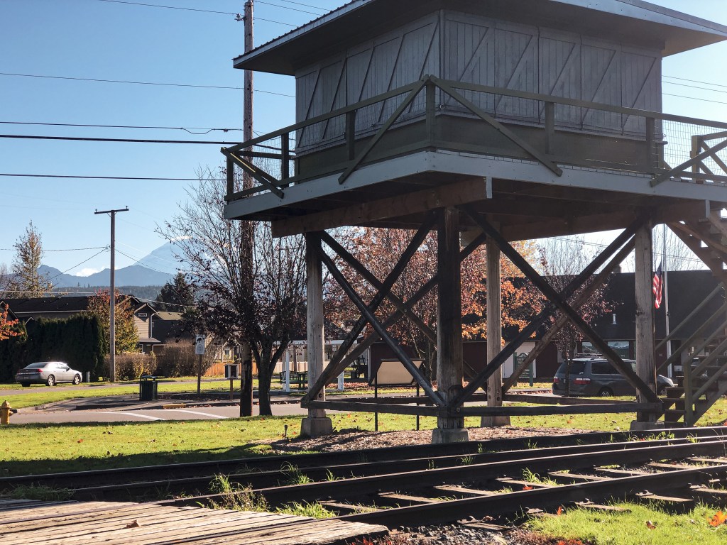
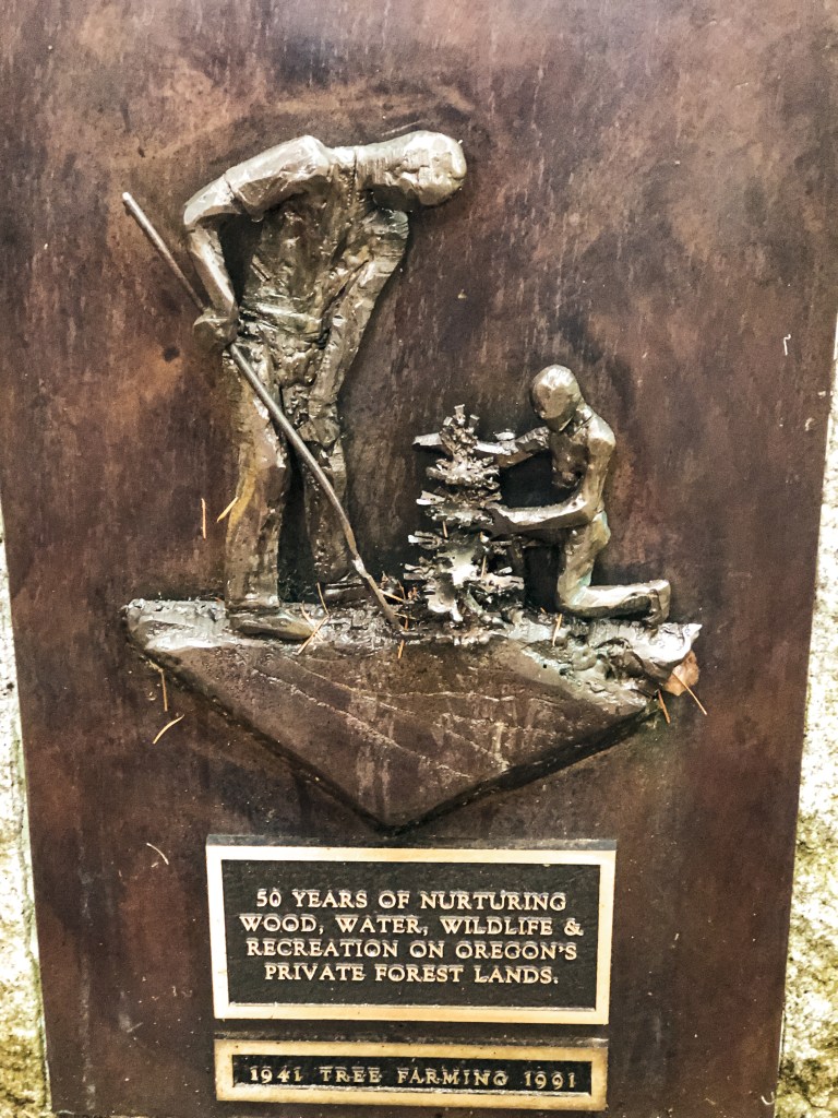
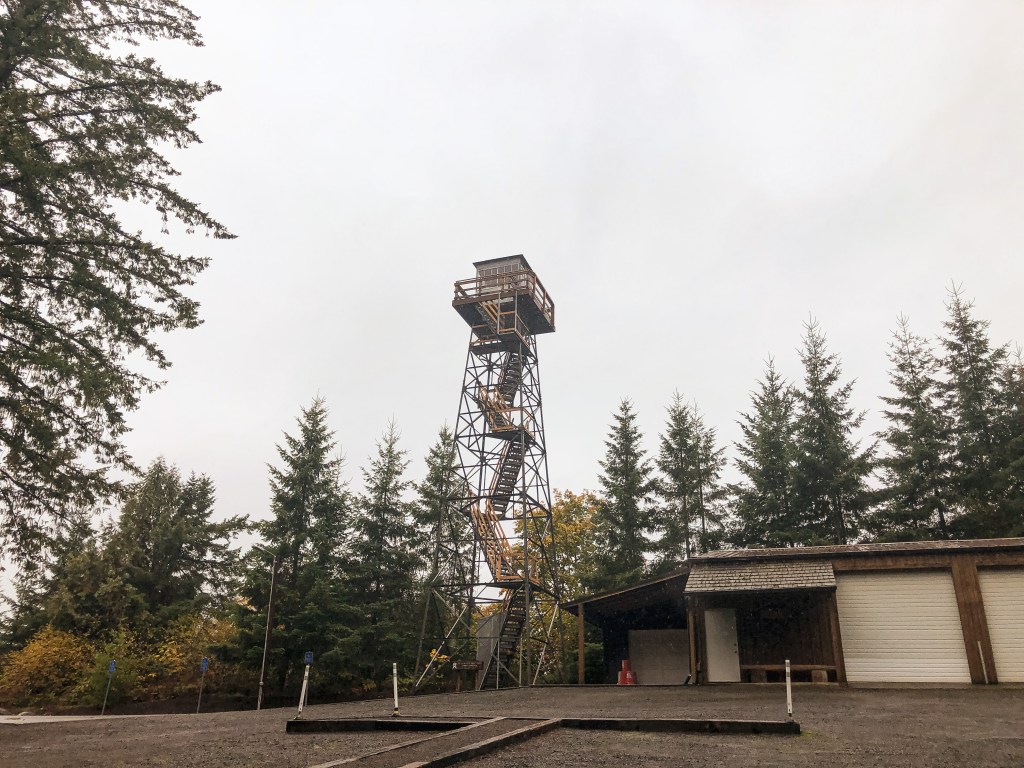
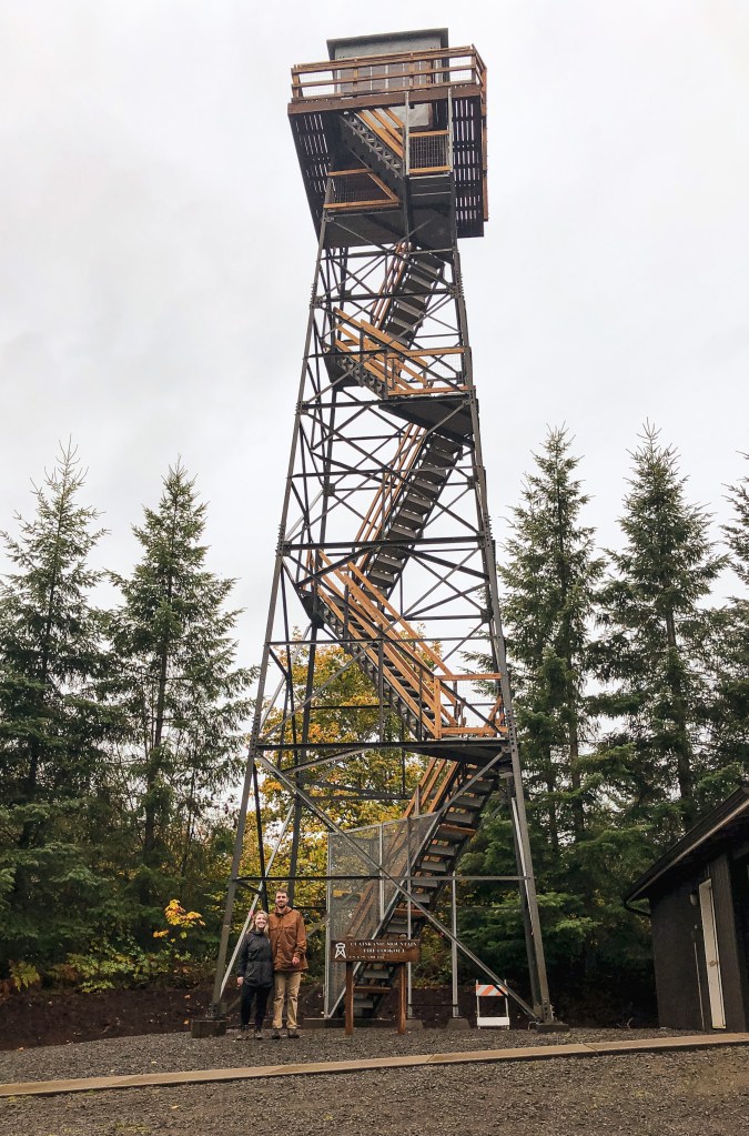
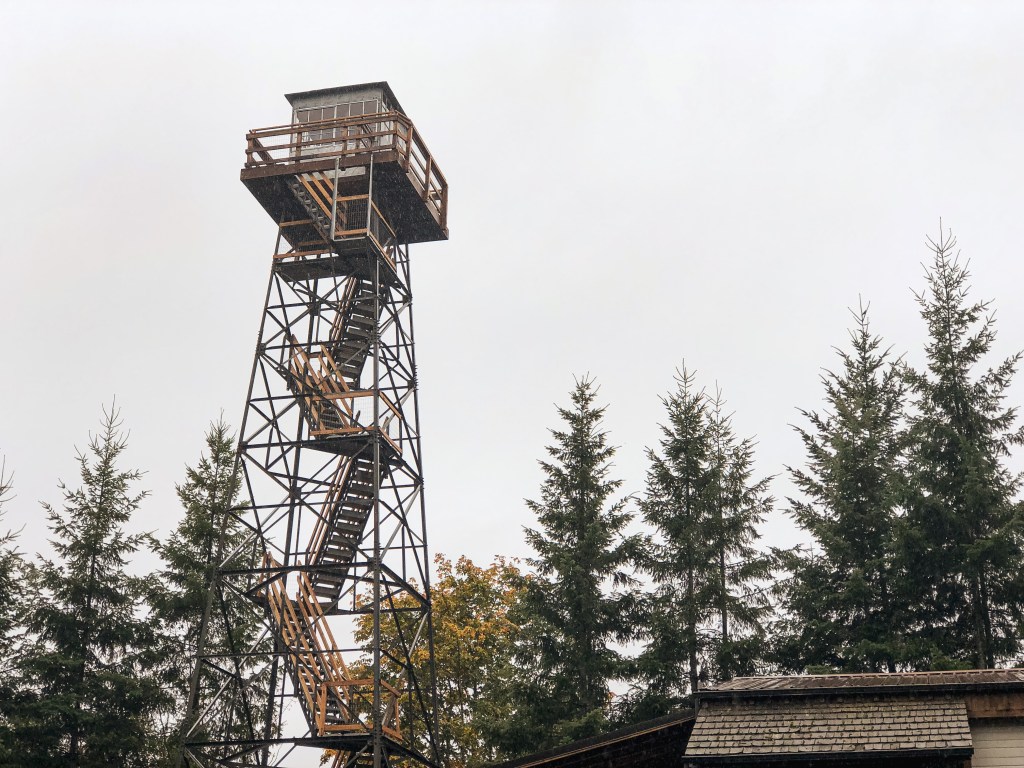
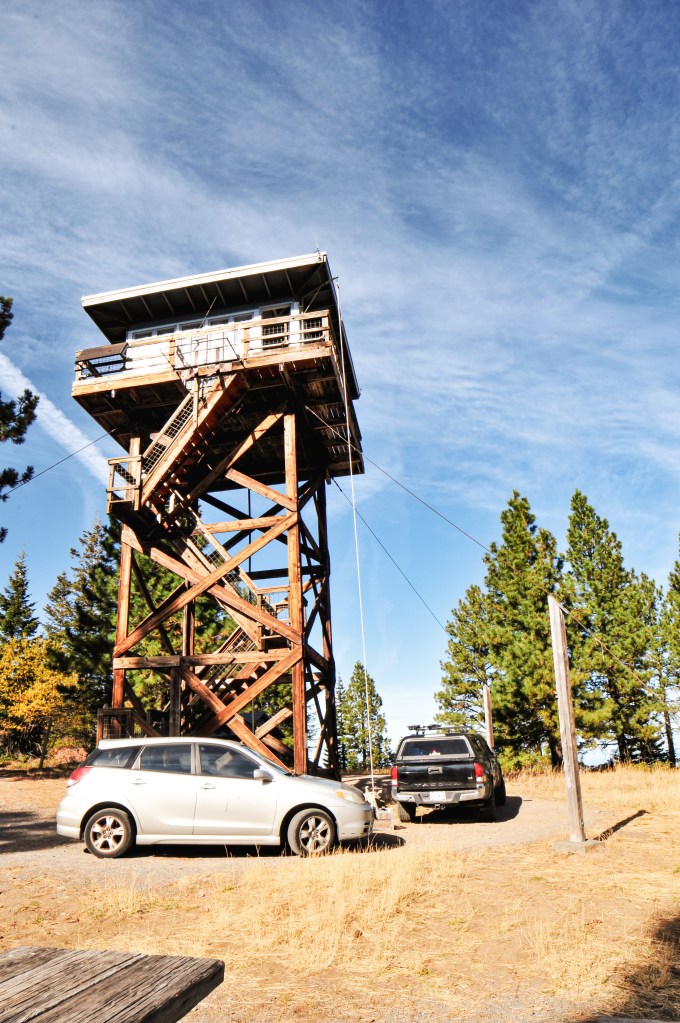
Steliko Point has been used as an observation camp site since 1925. The current lookout is a 16’x16′ L-4 cab with 10′ tower and was built in 1947. It was actively staffed up until the mid-1990s and is still registered for emergency use. There are signs of another foundation on the summit, but I couldn’t find any information online about previous additional structures. Steliko Point is one of only three remaining lookouts in the Entiat Ranger District. Given it’s proximity to Ardenvoir and low elevation, it is also one of the few lookouts wired on the power grid. Yes, that means you can charge your phone during your stay. There are only USB ports though, so don’t bring anything that requires a plug. Over the last few years it has undergone remodeling and updates by volunteers to open it up for the rental program. It is now mostly managed by the non-profit Wenatchee Valley TREAD for maintenance and overnight stays.


More Information.