Location.
Mt. Hood National Forest
Status.
Currently standing; abandoned
Estimated drive time from Portland, OR.
2-1/2 hours
Date visited.
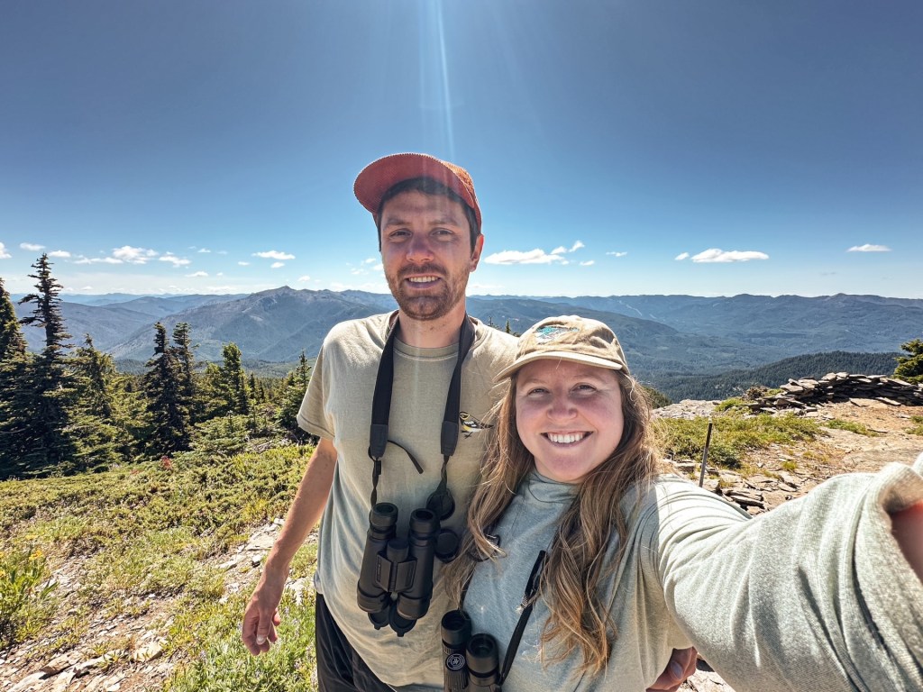
July 3, 2025
Elevation.
5,249′
National Historic Lookout Register.
Not registered
Trip Report.
This trip originally started as an option for a 4th of July day hike, but when the opportunity arose it rapidly evolved into an overnight. Hawk Mountain was the main point of interest, but we decided we had time to add in a couple of former fire lookout sites too. Lowe Mountain was an easy addition since it’s located along the same ridge and trail as Hawk Mountain. We chose the West Pinhead Butte site as our follow up option before heading home the next day. This made a nice driving loop through the forest. Garnet had a shift change at work that has lead us to be more creative for our trips. This was part of the reason we did not get an early start and had to be back in town by Friday evening.
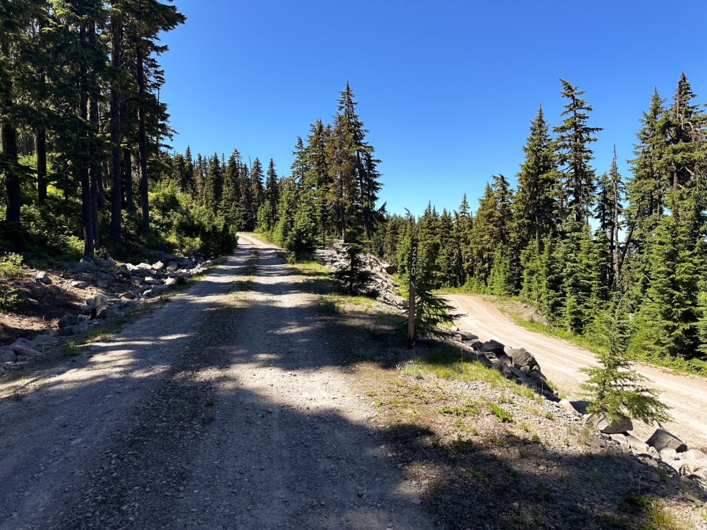
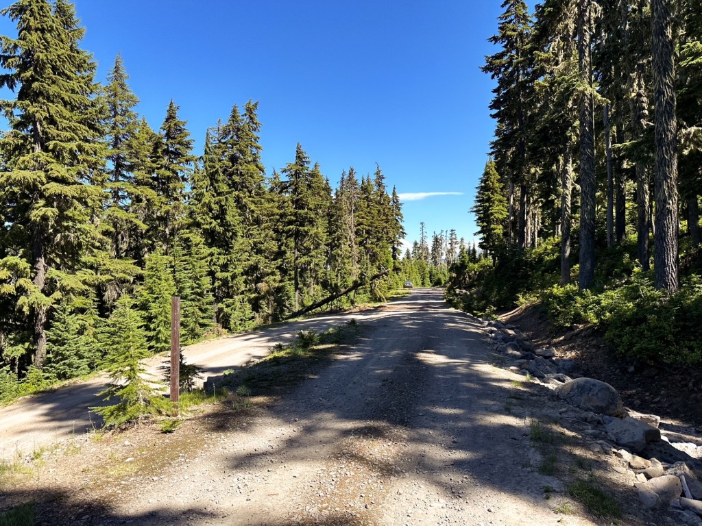
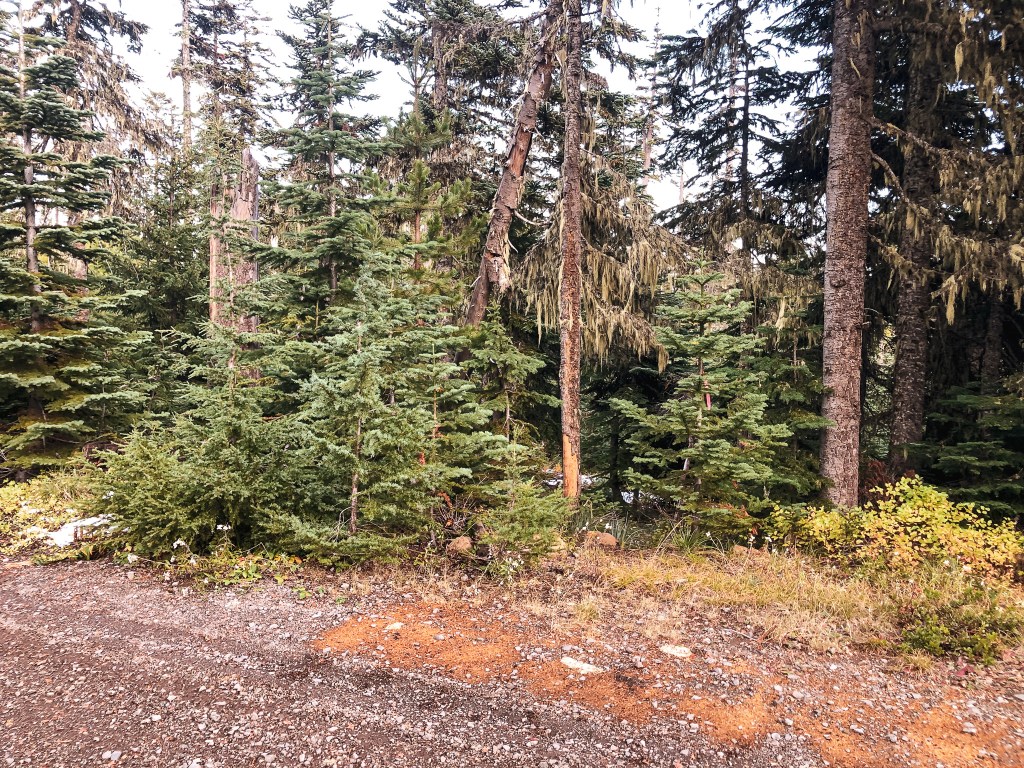
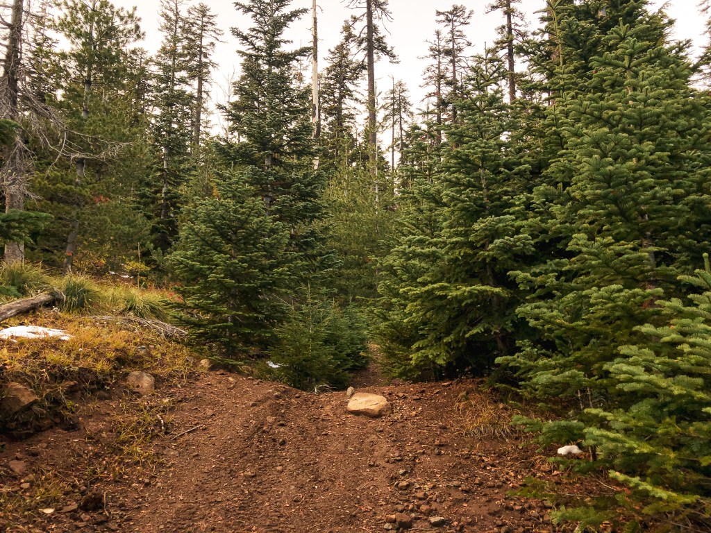
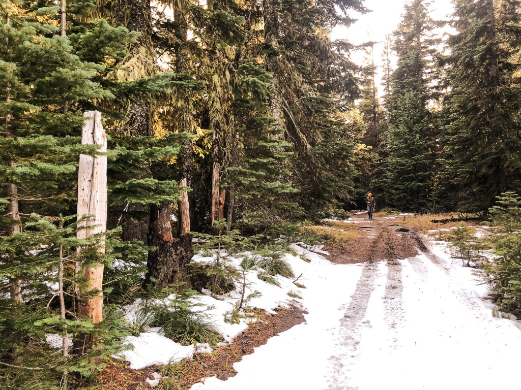
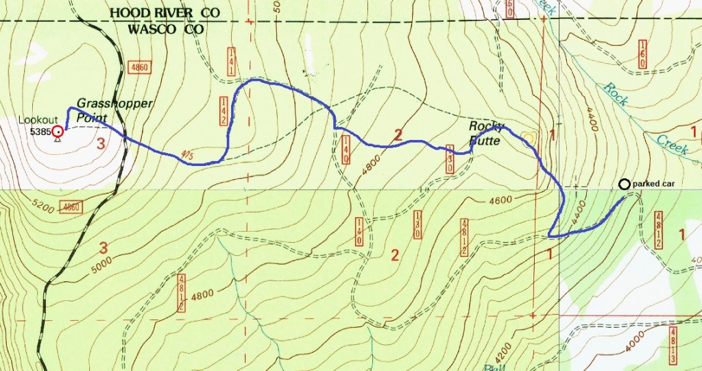
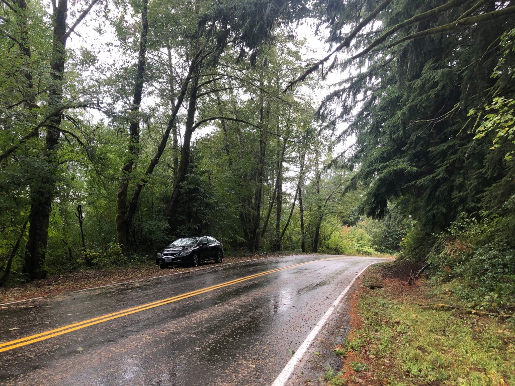
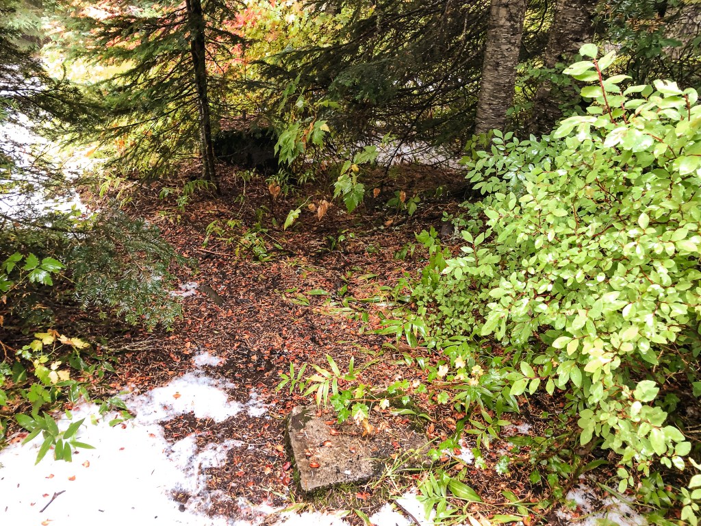
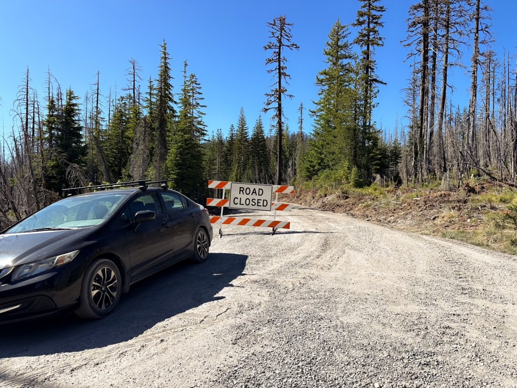
There are a few ways to get to Hawk and Lowe Mountain, the most common being from Estacada or Detroit Lake. We decided to take a more unconventional way from HWY-26 to NF-42 towards Timothy Lake. We wound our way through the forest on NF-42 until we reached NF-46. We turned left to only briefly stay on NF-46 until the next junction with NF-4670 off to the right. The Rhododendren Ridge Trail #564 is a fairly long trail that follows the ridge line and can be accessed from multiple points to make longer or shorter hikes. For the sake of time, we decided to access Lowe Mountain from it’s shortest point before heading on to Hawk Mountain. We parked at the junction with NF-220 along NF-4670 and hiked up the NF-220 road to find the trail junction. We probably could have drove up the spur road since it seemed to be in fair condition. There was even a couple of people camping where the trail met the road. We had a minorly awkward, but friendly, exchange as their dog came barking at us and we aimed to walk through their camp to access the trail. Little did we know if we had hiked a few more yards to the complete end of the road there was another access point. Those kind of mistakes live rent free in my head.
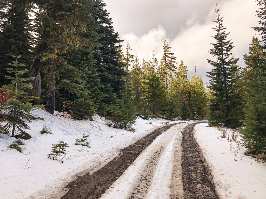
From where we parked on NF-4670 to the summit of Mount Lowe was only 1.42 miles RT with 339′ of elevation gain. Most of that distance was along the NF-220 road too – it was a short trail otherwise. We quickly moved on to our next hike by driving farther down NF-4670 until it met up with NF-6350 and took that to the junction with NF-6355. The trailhead was only a short distance from the junction and was more of a pull out on the side of the road.
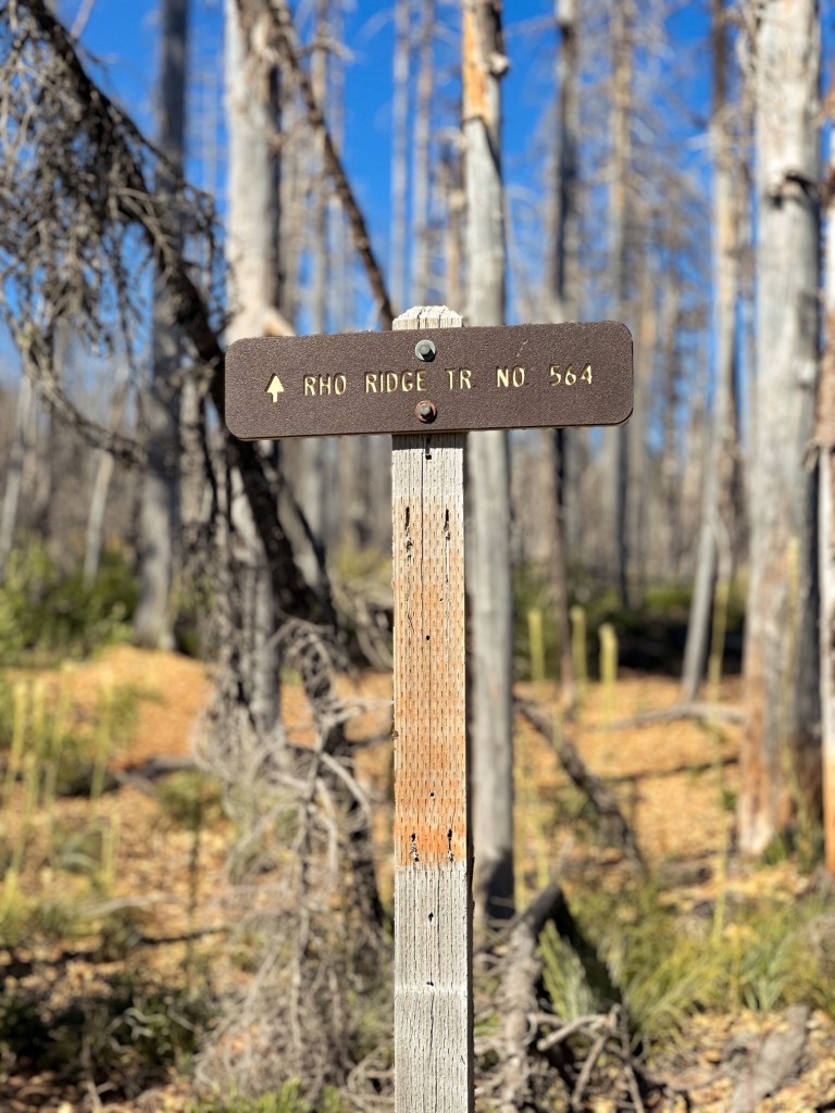
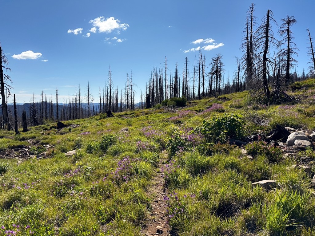
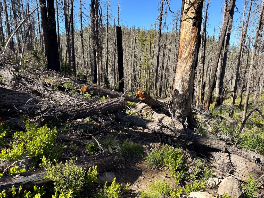
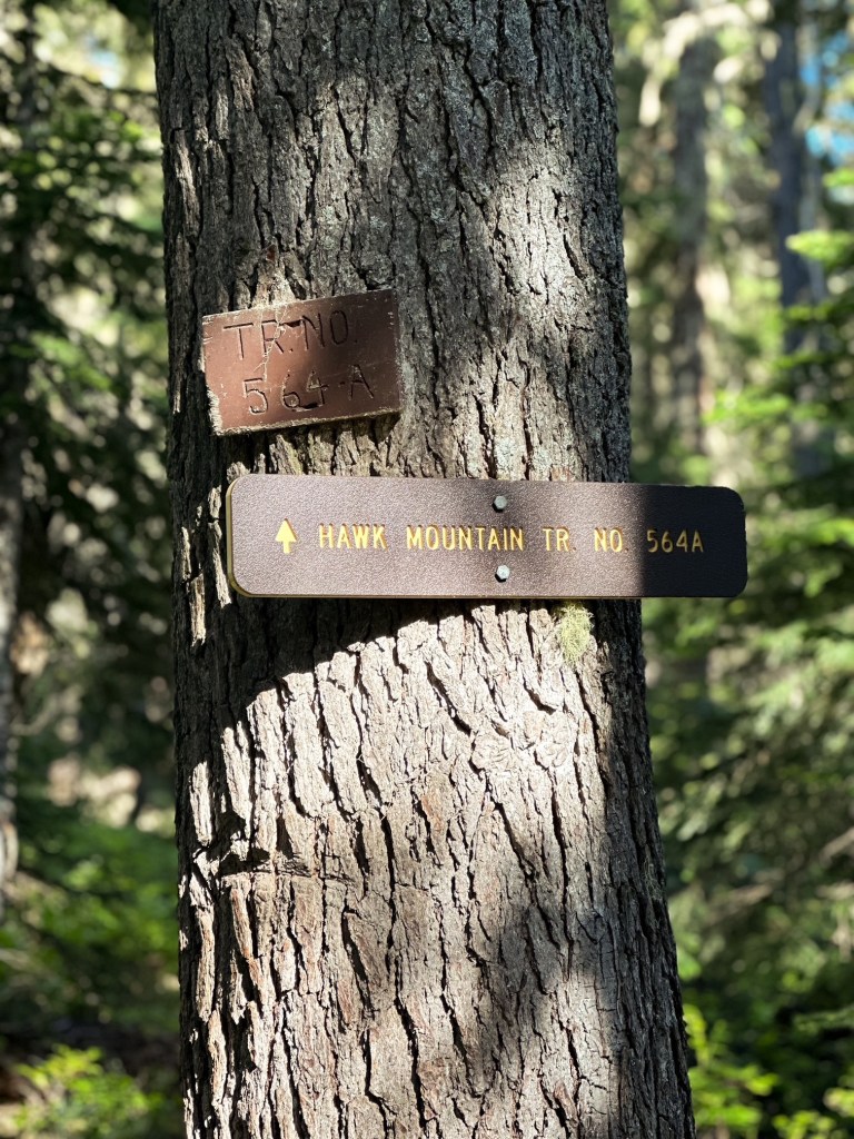
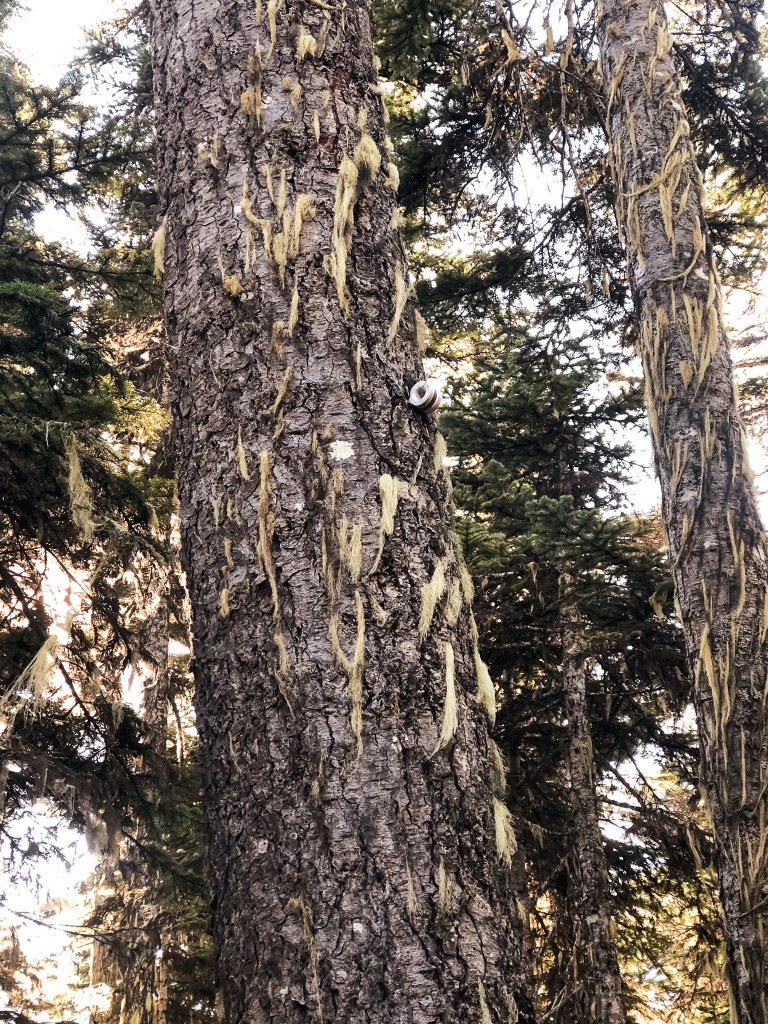
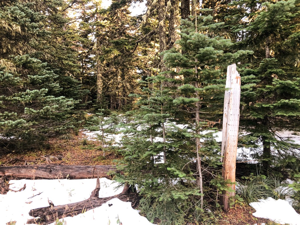
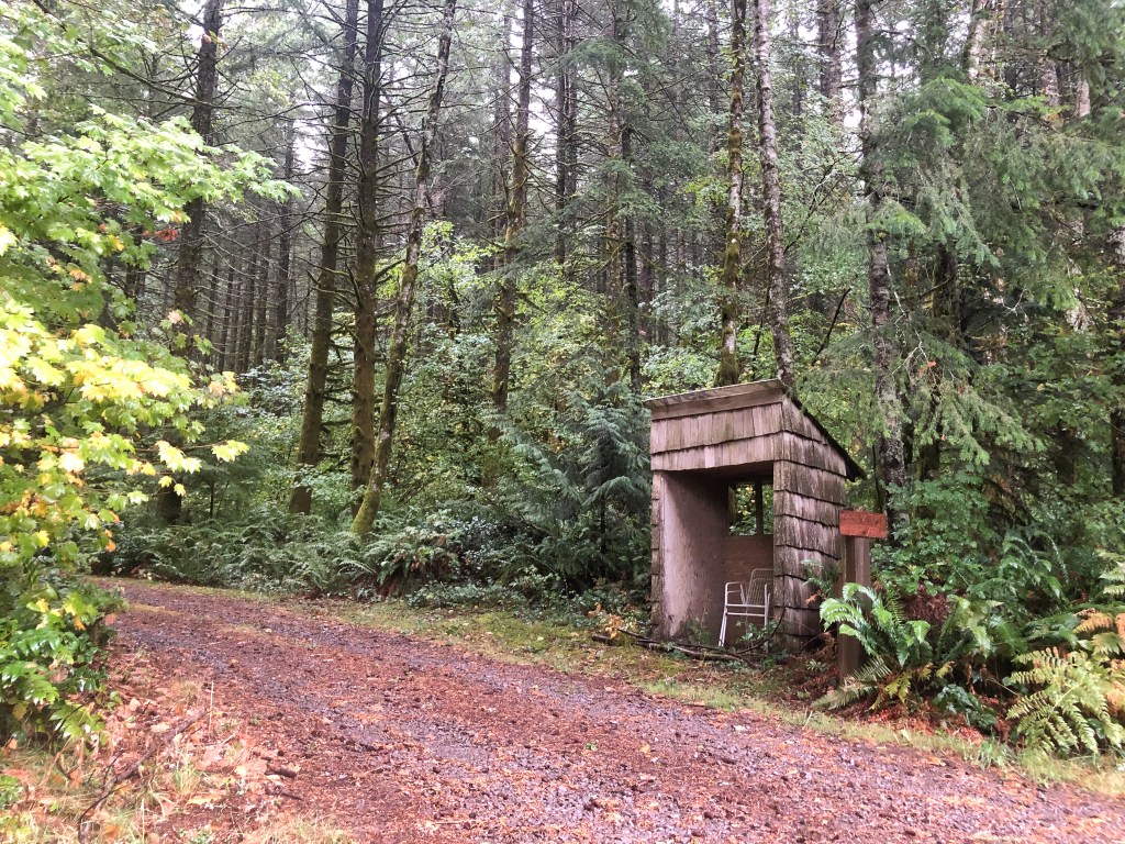
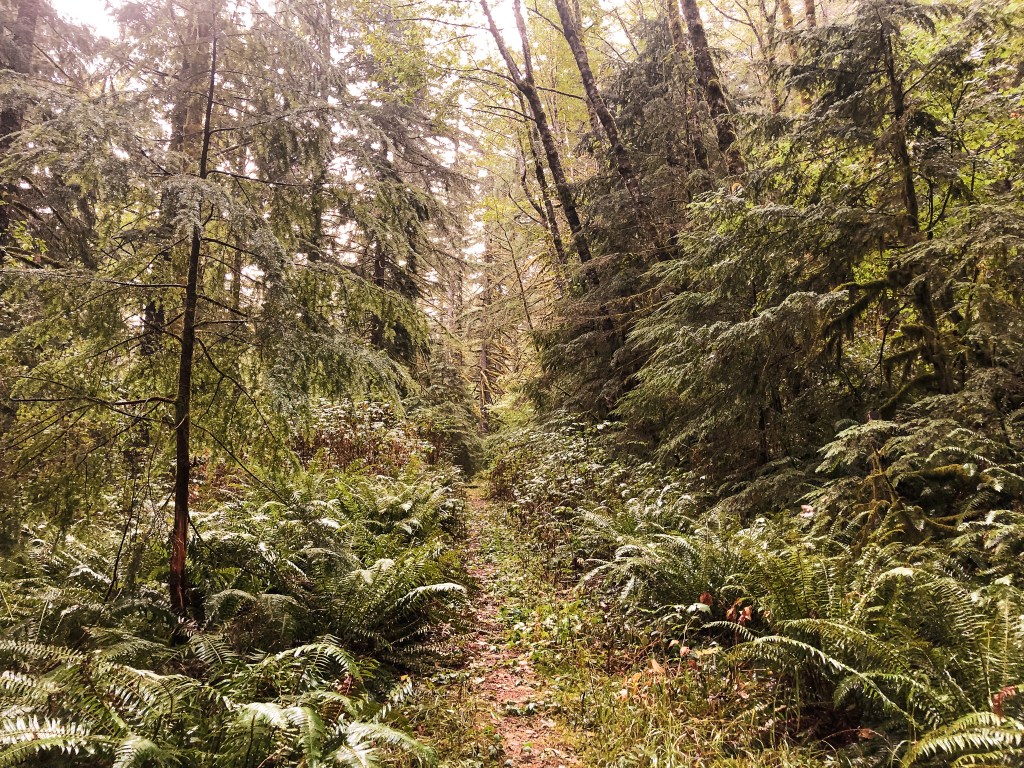
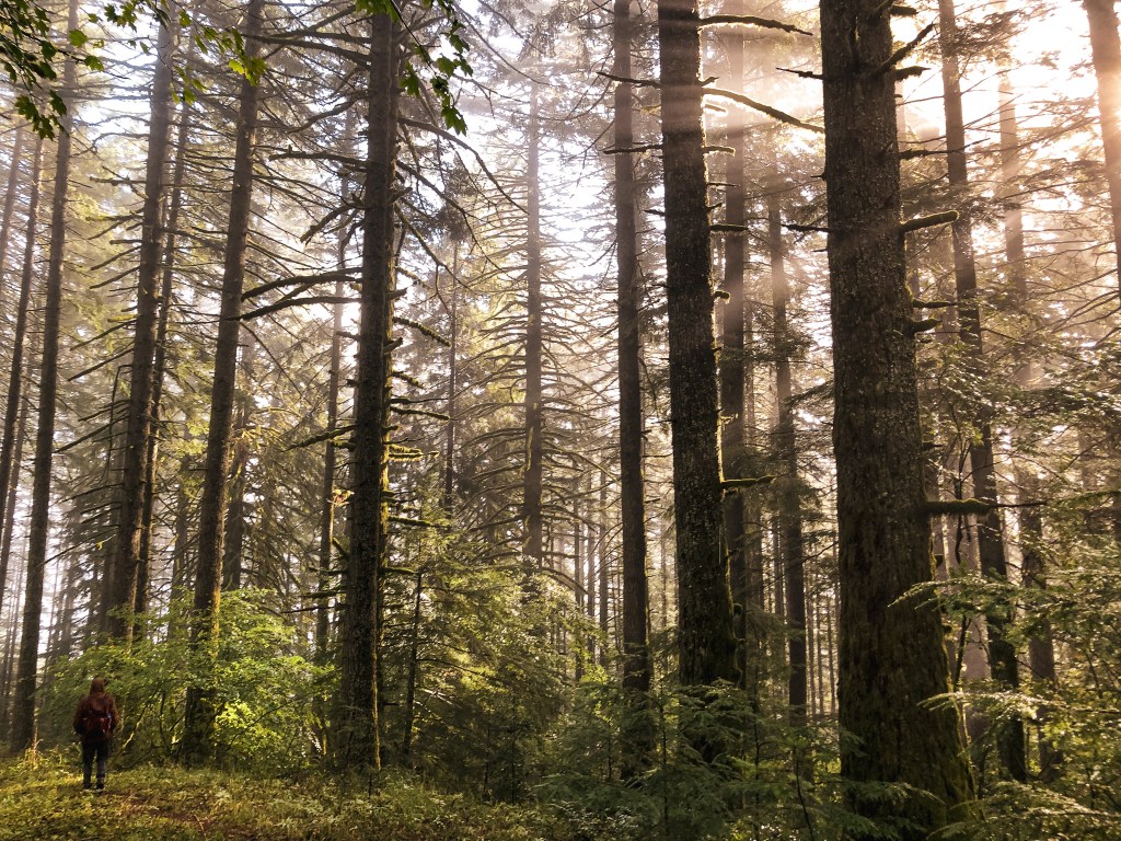
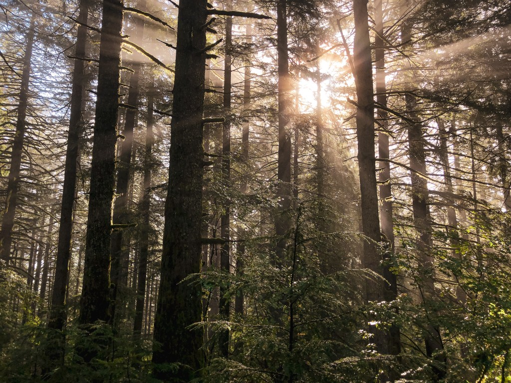
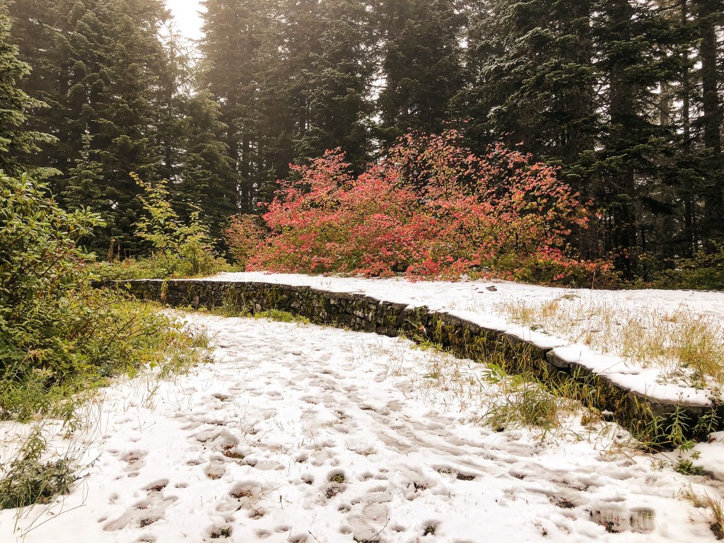
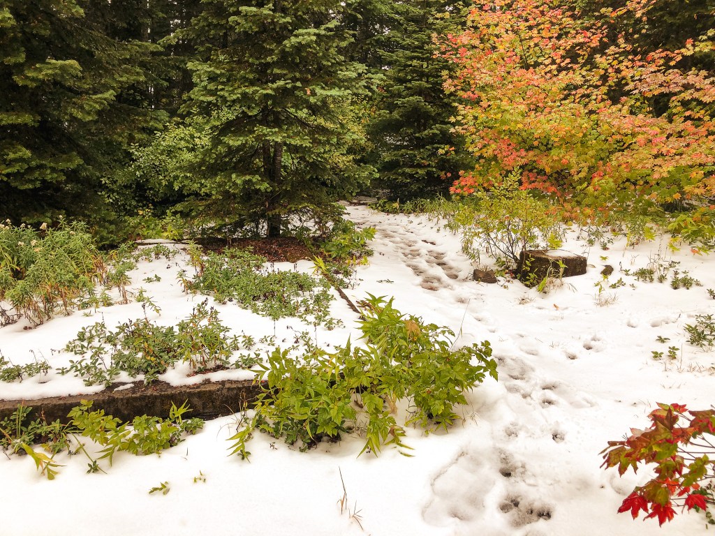
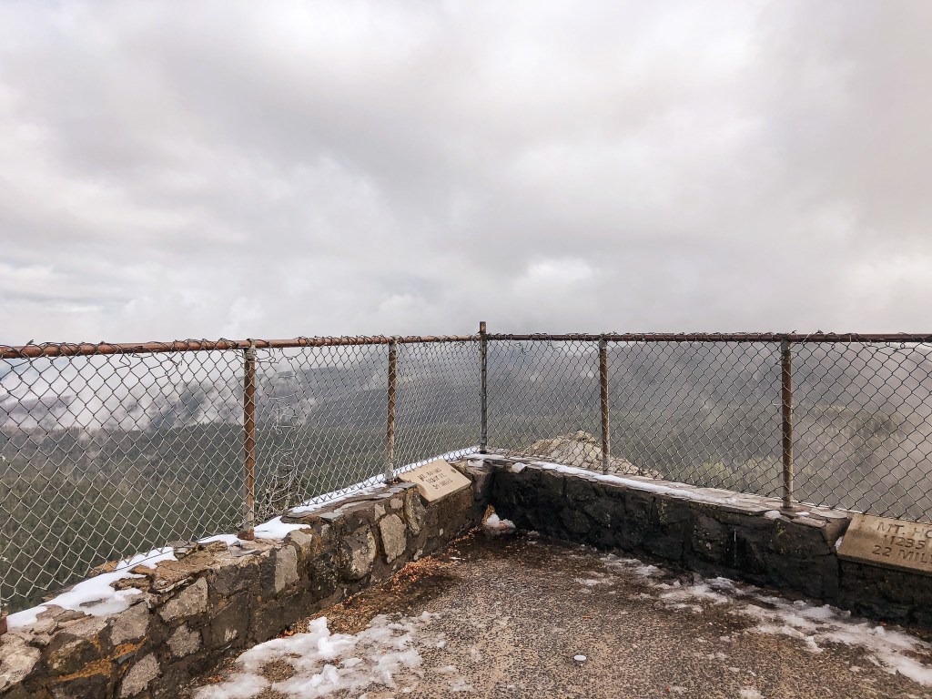
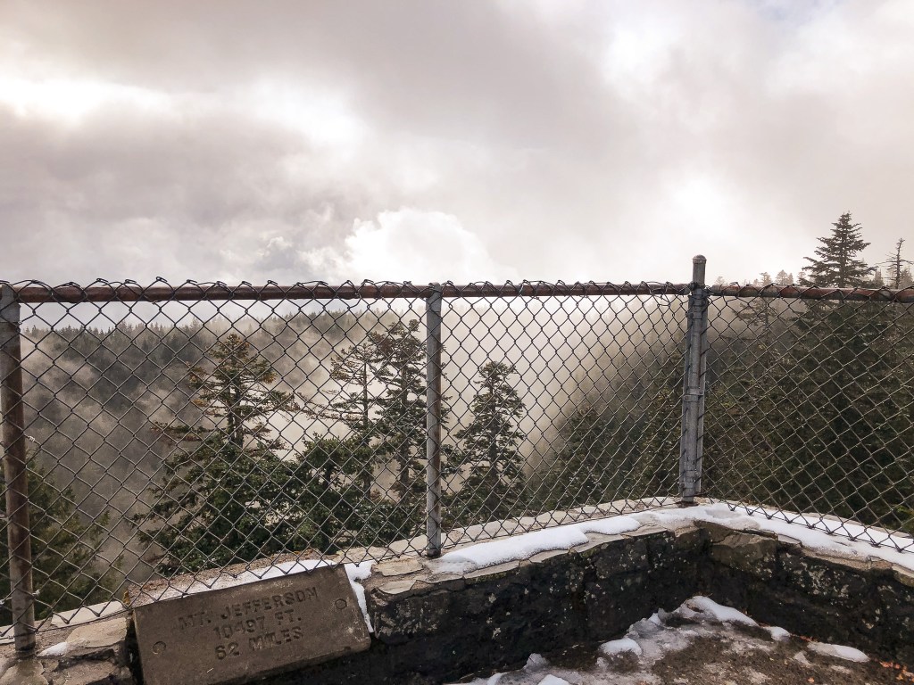
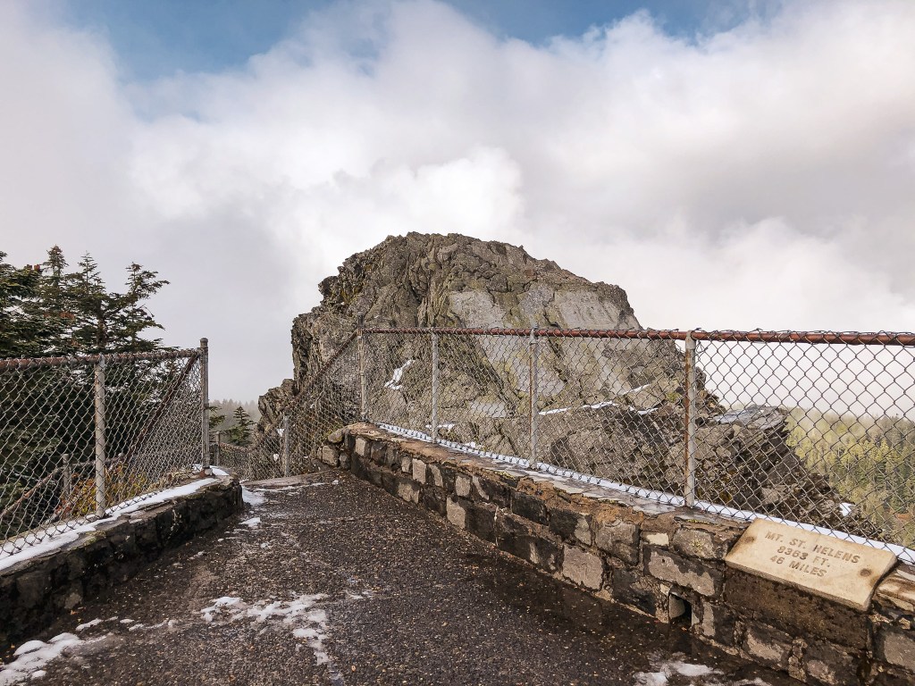
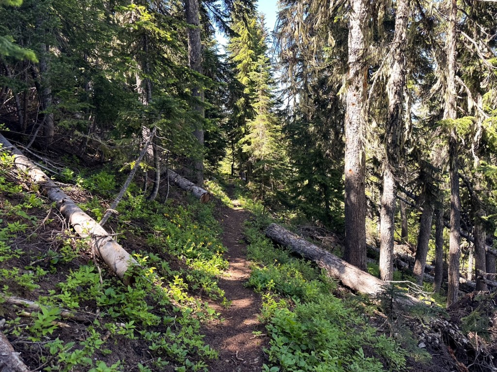
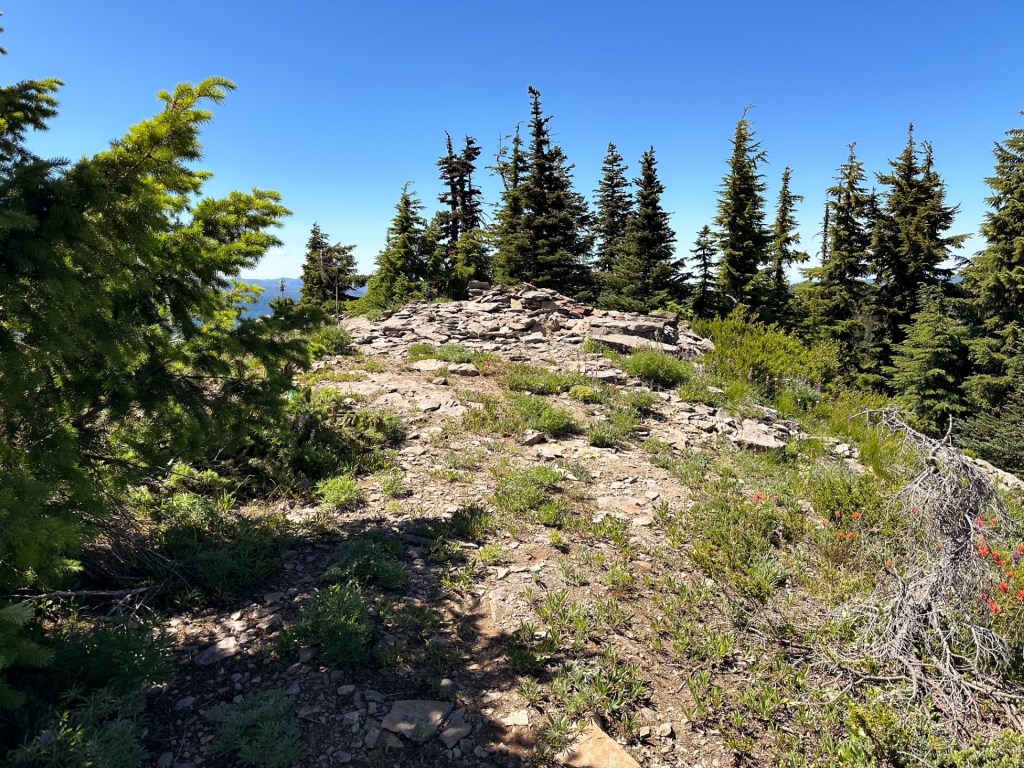
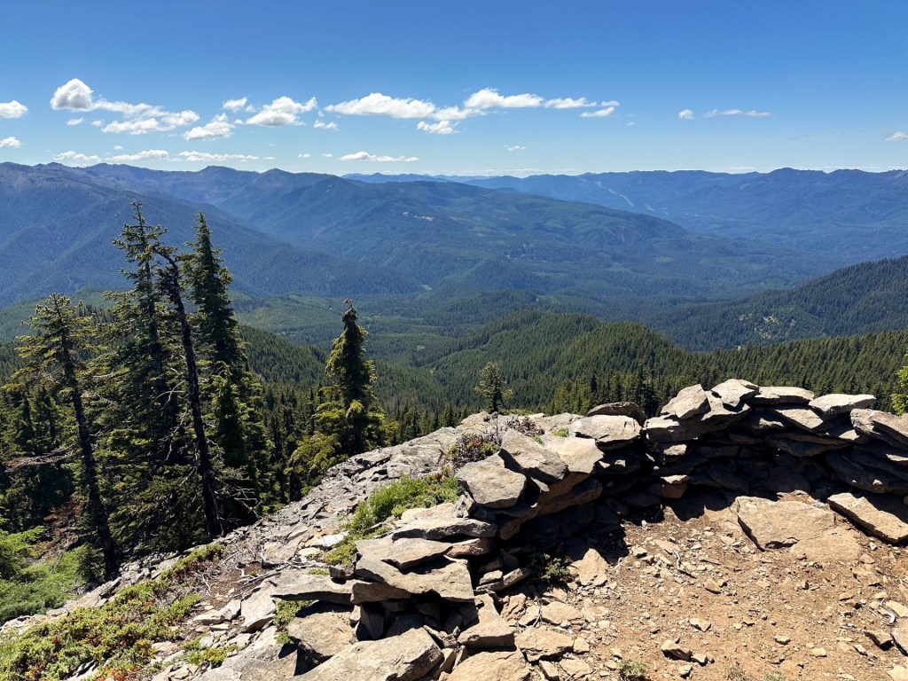
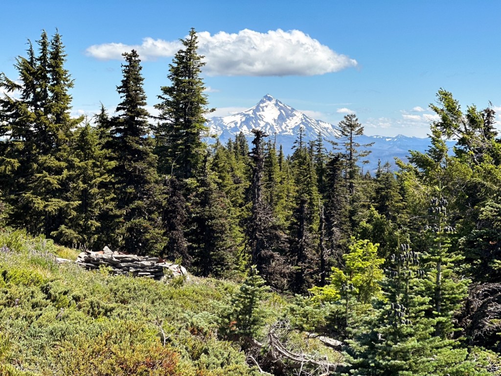
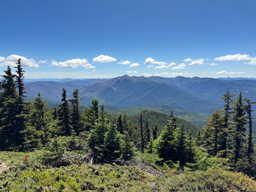
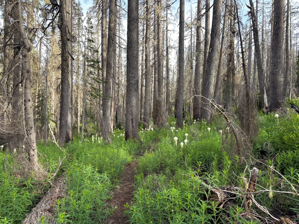
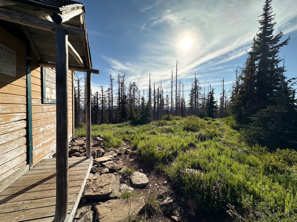
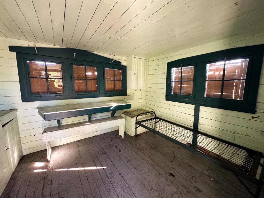
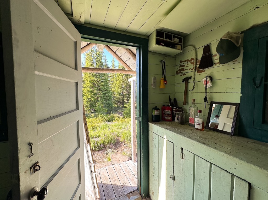
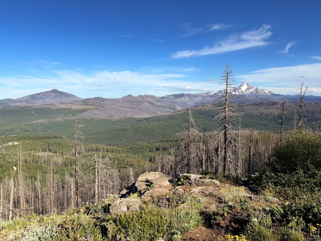
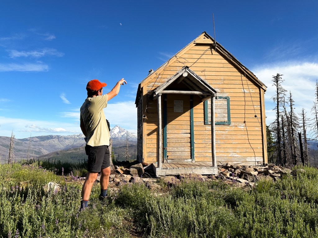
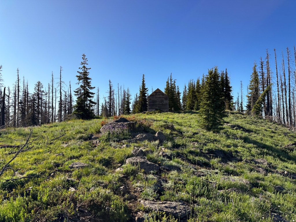
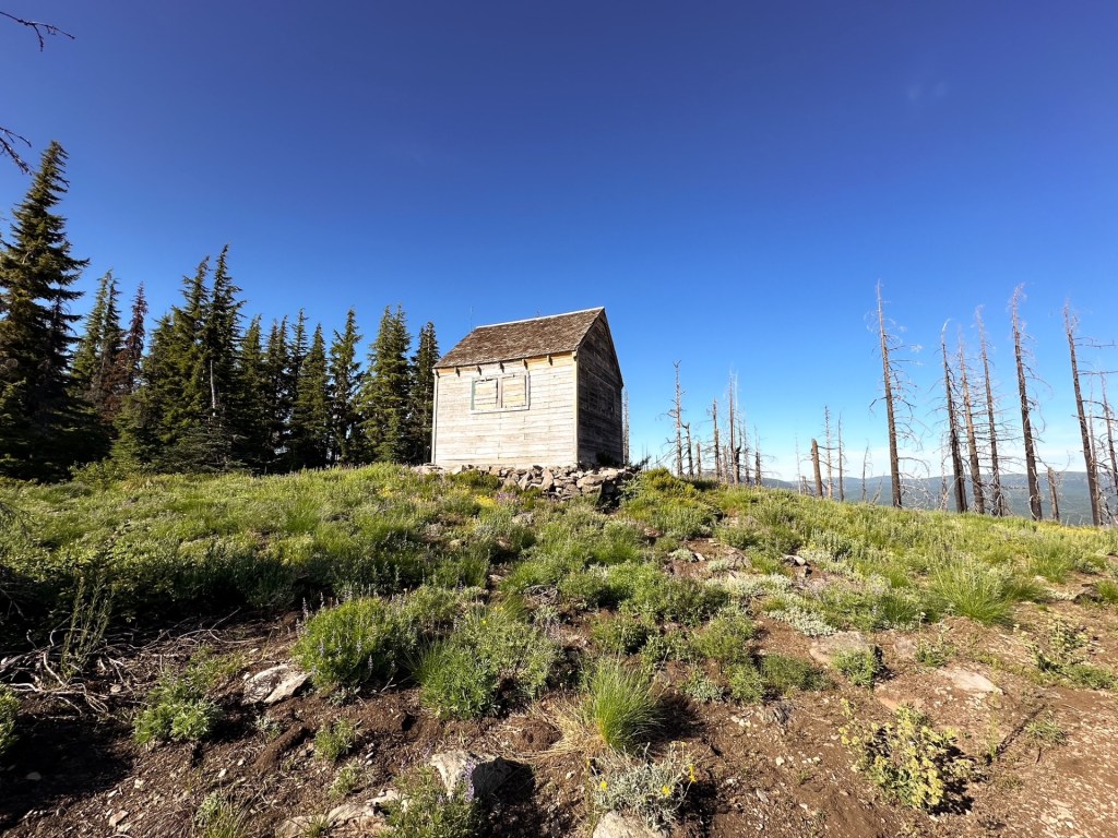
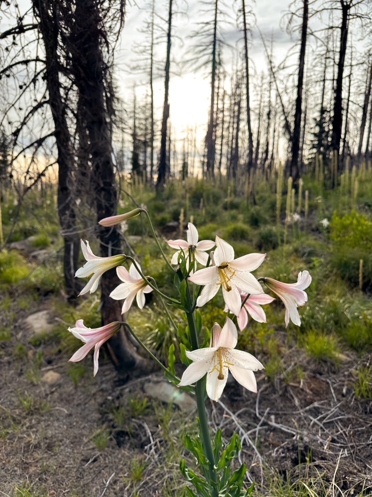
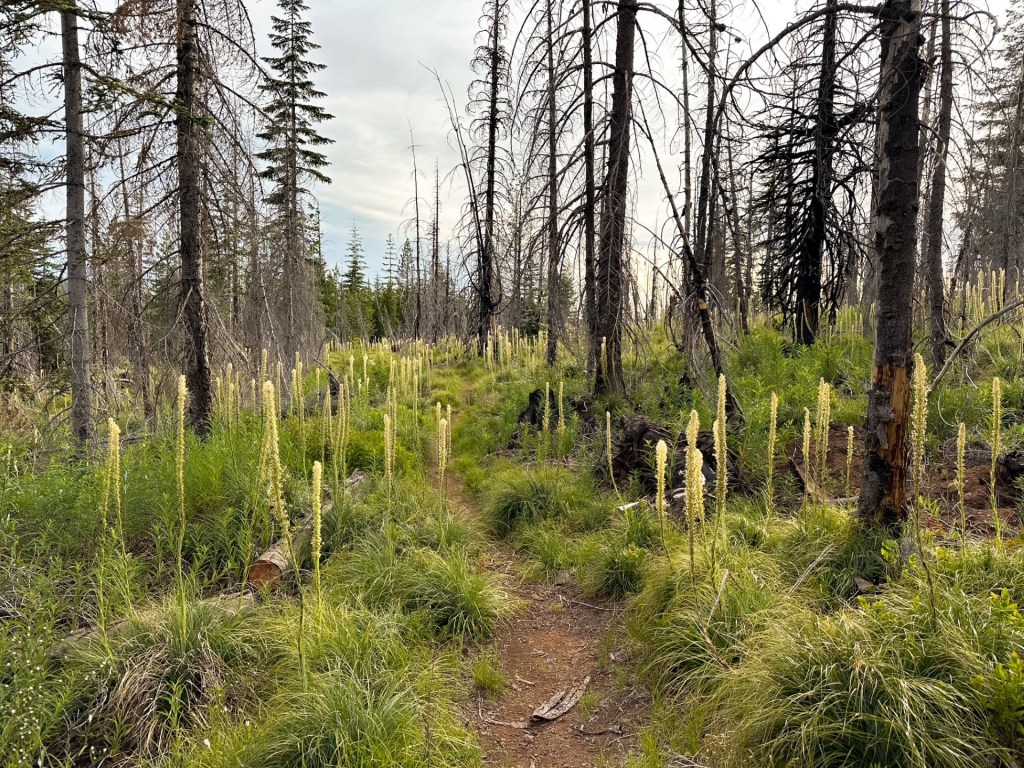
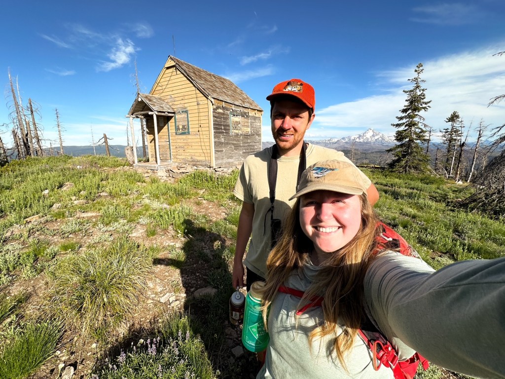
We unexpectedly came near the tail end of the bear grass bloom and it made for a really pretty hike. The trail gradually switch backs up to an open hill side offering views out towards Mount Jefferson. It plateaus for a bit as it enters the burned area from the 2021 Bull Complex before it dips back down. There were some downed trees to cross over in this section but nothing too challenging. We exited the burn into a dense forested area before climbing again to the final summit. We eventually reached a junction where the Rhododendron Ridge #564 trail continued left and the spur trail to Hawk Mountain #564A continued right. We could have hypothetically hiked all the way from Mount Lowe along this trail given enough time. But it is a much longer route, longer than we’d like to hike, and I am unsure of the trail conditions between the two points. The summit is broad and opens up again to another view out to Mount Jefferson. The cabin was unlocked during our visit and open for overnight stays on a first-come first serve basis. The inside was fairly well kept and clean, though you would probably be sharing your stay with the wood rats regardless.
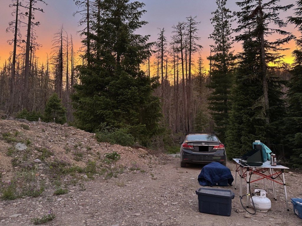
Given our later start and side trip to Mount Lowe, we didn’t have as much time to hang out. We still had to find a dispersed camp for the night too. We hadn’t seen anyone else on our hike up, but there were a couple of people heading up as we hiked down. We assume they were looking for a nice spot to view the sunset since neither seemed to have overnight gear with them. Strava calculated our hike at 4.23 miles RT with 950′ of elevation gain.
History.
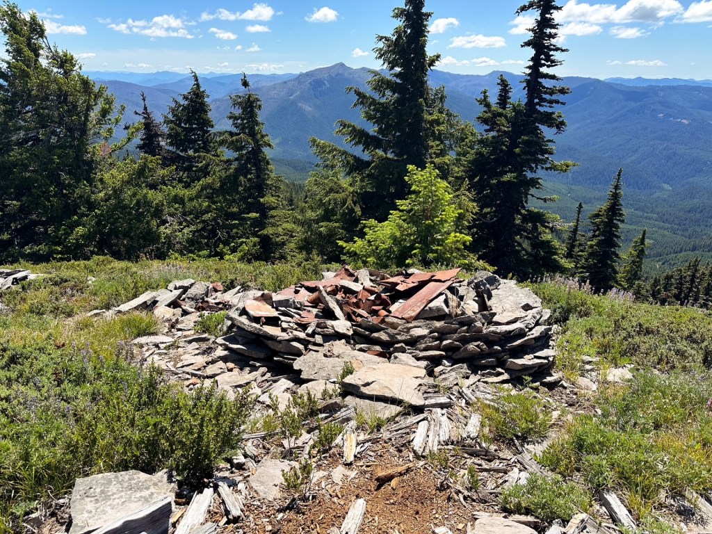
Hawk Mountain
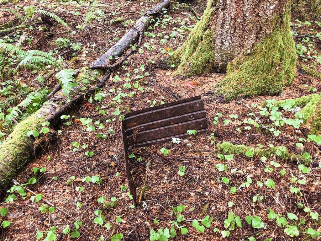
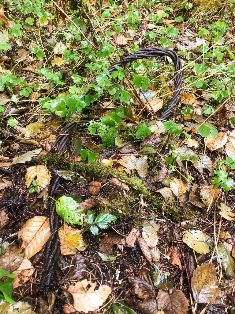
This site was established in 1919 with a 60′ 3-legged platform tower and framed in cabin. Old pictures suggest that these were replaced with updated versions but I was unable to verify a date (my guess would be sometime in the early 1930s). There is a 1936 picture on Ron Kemnow’s website that shows the cabin that stands today next to an older log style cabin. Another picture on his site with no date looks like a rudimentary version of the 3-legged tower supported by trees. The site was abandoned around the 1950s and the 3-legged tower was removed in 1967. The cabin used for the living quarters still stands today which I would classify as a standing lookout site. The FFLA does not agree with this sentiment and rejected my request to register it as a standing lookout, but it is all subjective at this point.
Lowe Mountain
Elevation: 5,334′
Former Fire Lookout Register Site: US 615; OR 56
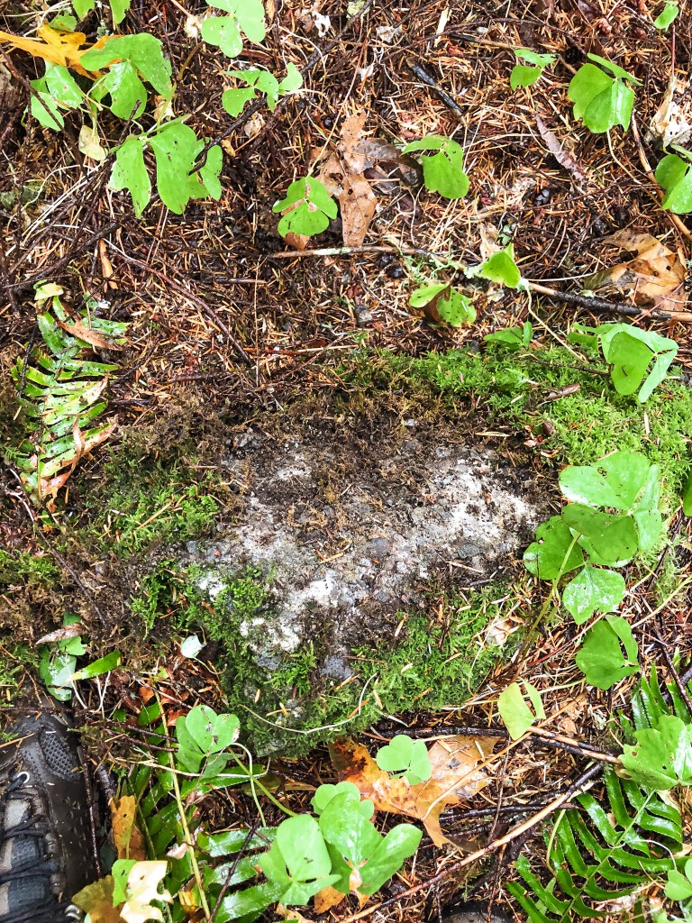
Located due north of Hawk Mountain and roughly 100′ higher was Lowe Mountain, also known as Rho Mountain given it’s location along the Rhododendron Ridge. This site was established in 1915 with a log style cabin and attached roof platform. It was replaced in 1932 with a standard L-4 ground cabin. It was deactivated and removed sometime between 1964-1966.