Location.
Klamath County; Oregon Department of Forestry
Status.
Emergency; Currently standing
Estimated drive time from Portland, OR.
5-1/2 hours
Date visited.
June 27, 2022
Elevation.
6,349′
National Historic Lookout Register.
US 485; OR 78
Trip Report.
Day 3/10: Lookout Road Trip 2022
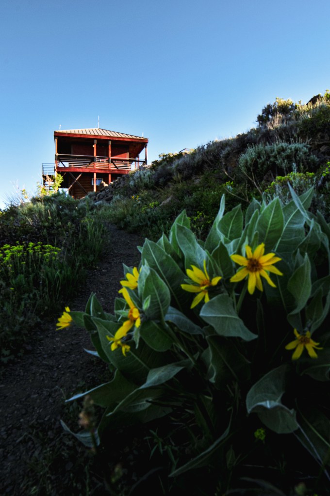
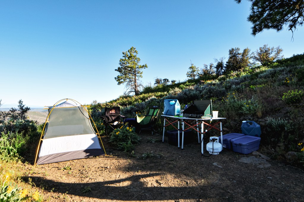
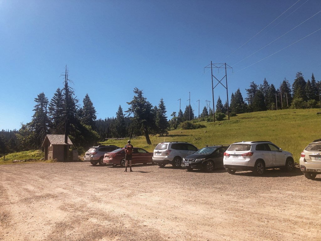
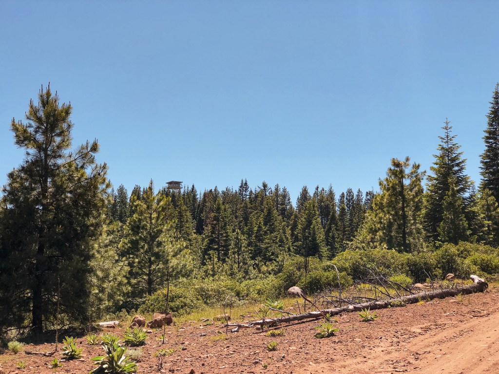
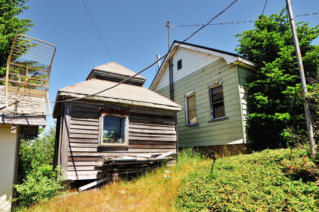
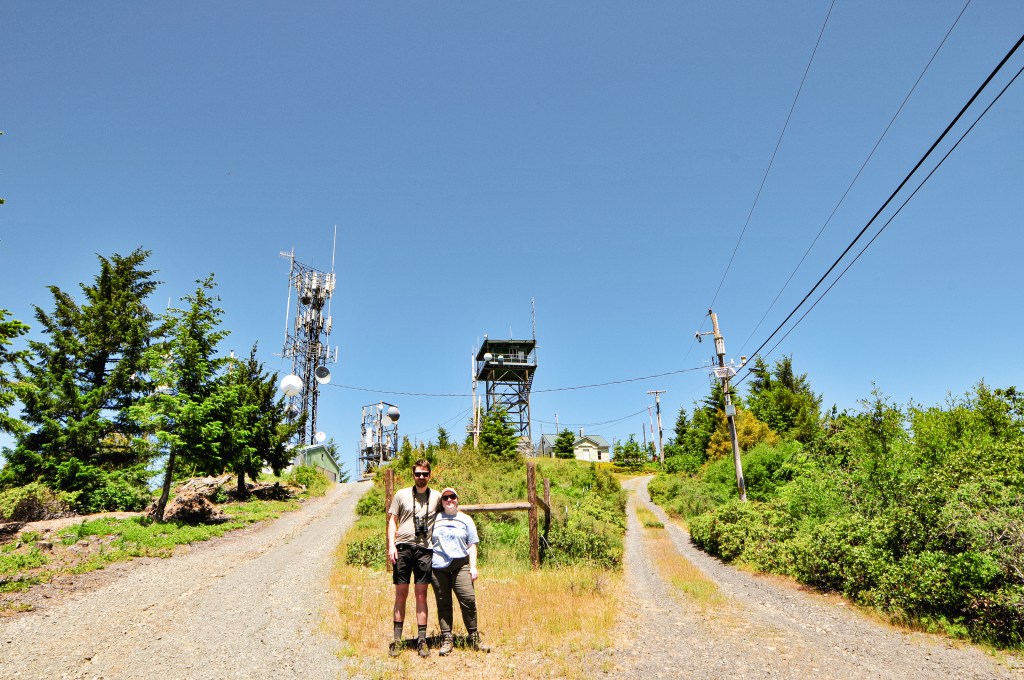
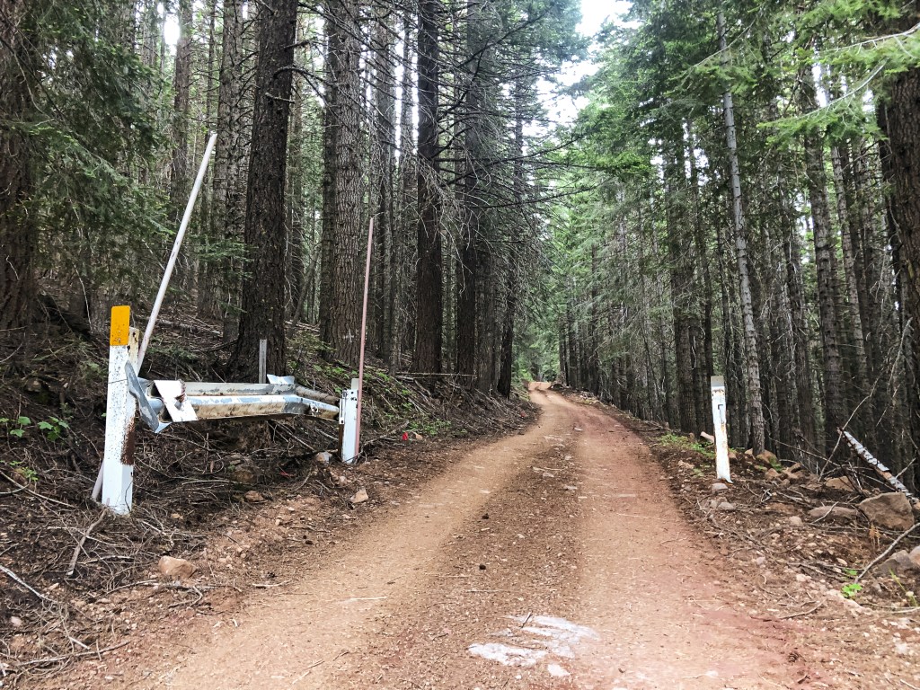
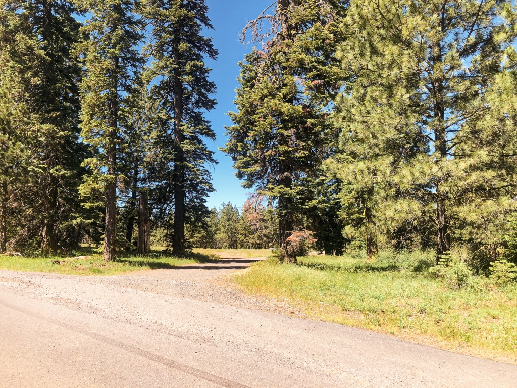
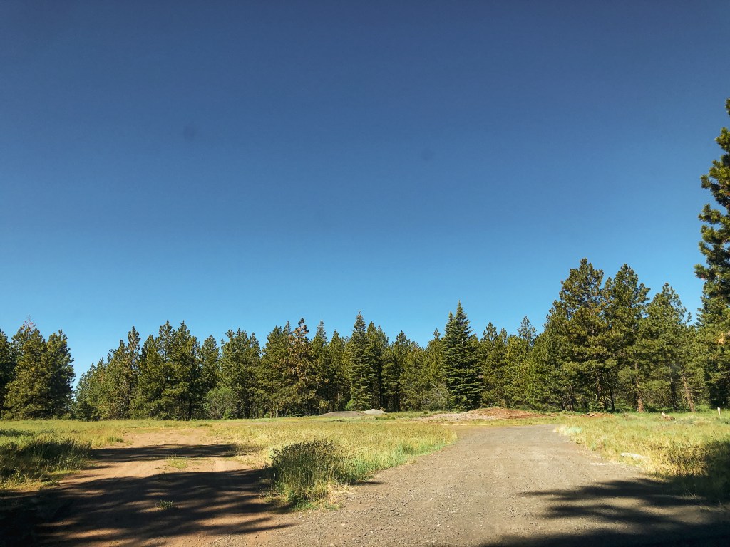
We were up, packed, and headed east on HWY-66 before 9AM this morning. The plan for the day was to hit Chase Mountain, Bly Ranger Station (post), and Dog Mountain (post). If possible, we would find a dispersed camp spot close to Dog Mountain (post) in the Fremont-Winema NF for the night. We passed the turn off for Parker Mountain L.O. (post) again and then passed a sign for Mule Hill L.O. We both did a double take and pulled over to see if we could get service to verify. The service was slow and spotty, but we were pretty confident it was no longer there. We decided to head on to Chase Mountain without checking it out, but would re-verify on the summit. Spoiler: it’s gone. From HWY-66, we turned on to Hamacker Mountain Road. This is a paved road that will do most of the climbing for you and can take you all the way to the summit of Hamacker Mountain. The turn off for Chase Mountain is roughly 5-1/2 miles up the pavement off to the right. It is an unmarked road, so it was helpful to turn on our odometer. There were two roads off to the right around this mile point. One was dirt and the other was gravel. You will want to take the good gravel road. The gravel ends just before you reach the summit and the road deteriorates. We parked in a pull out slightly after where the road turned to cinder.

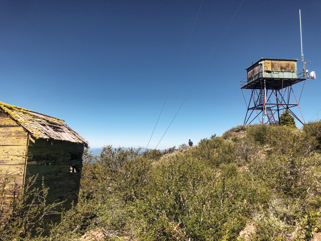

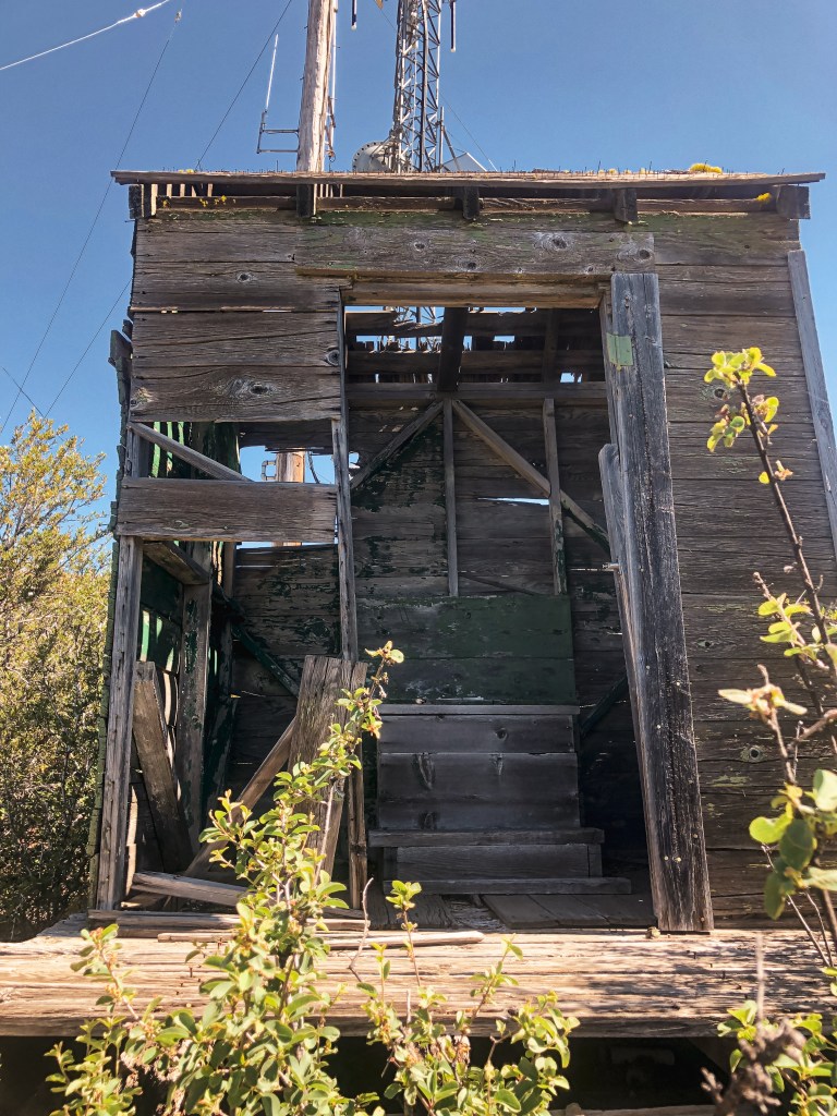
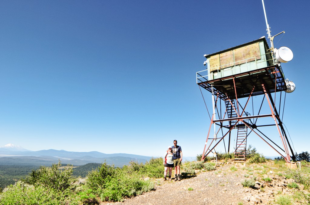
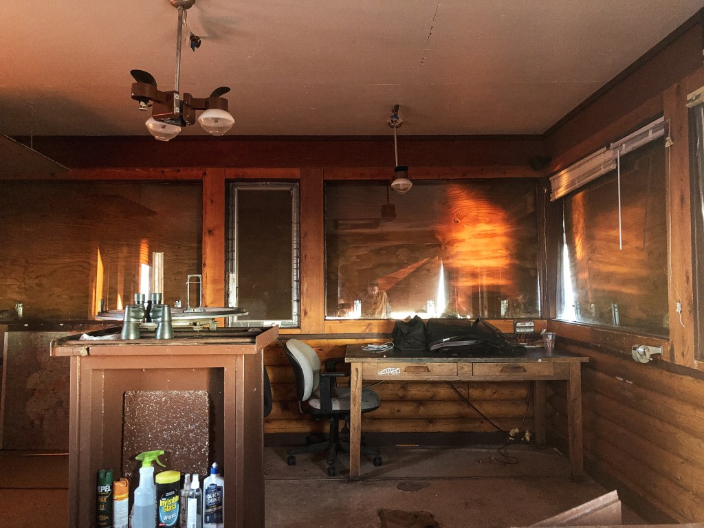
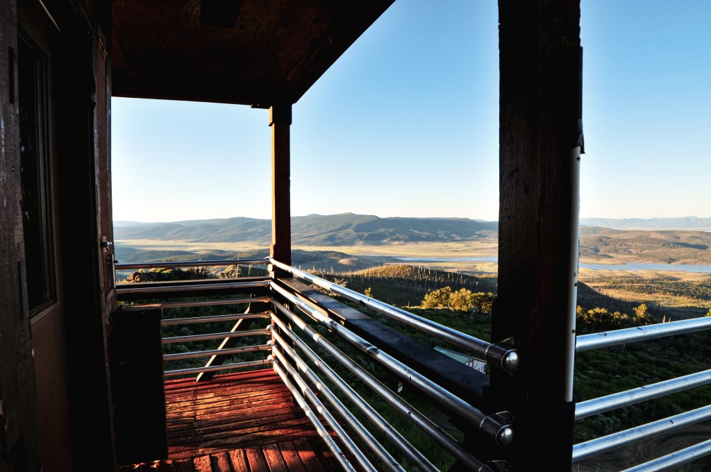
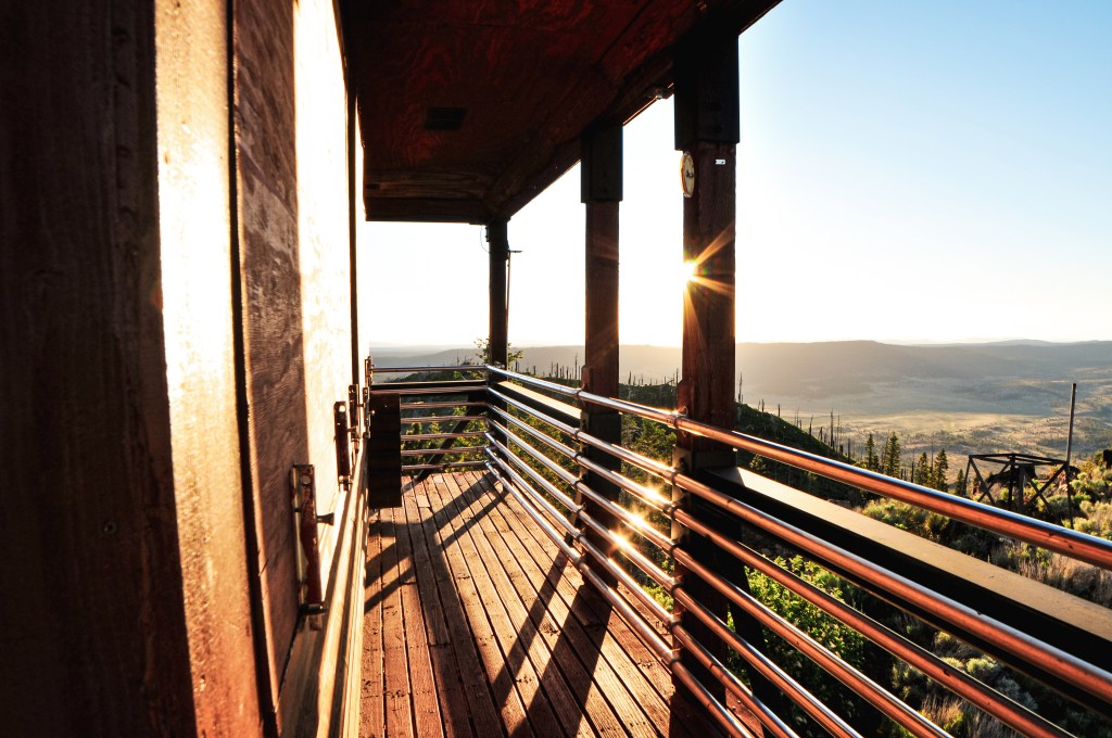
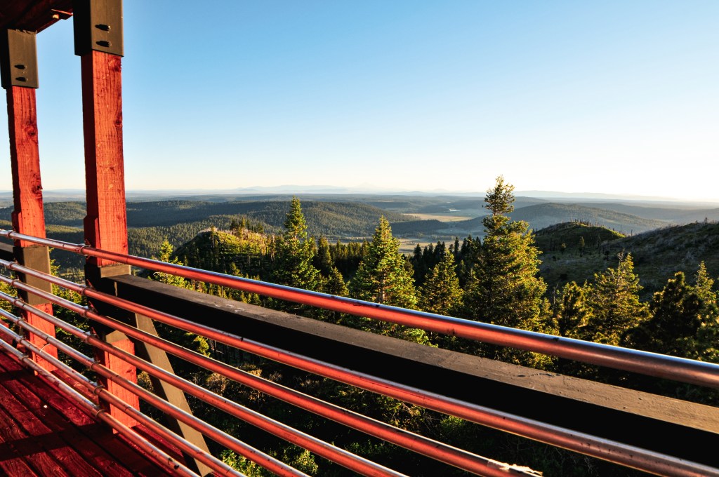
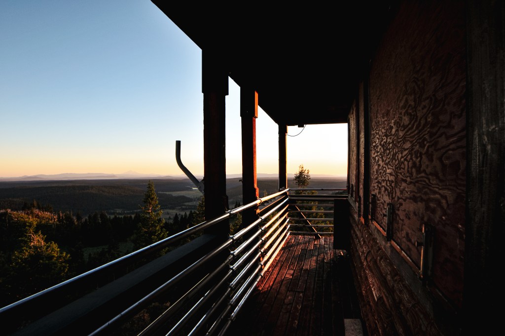
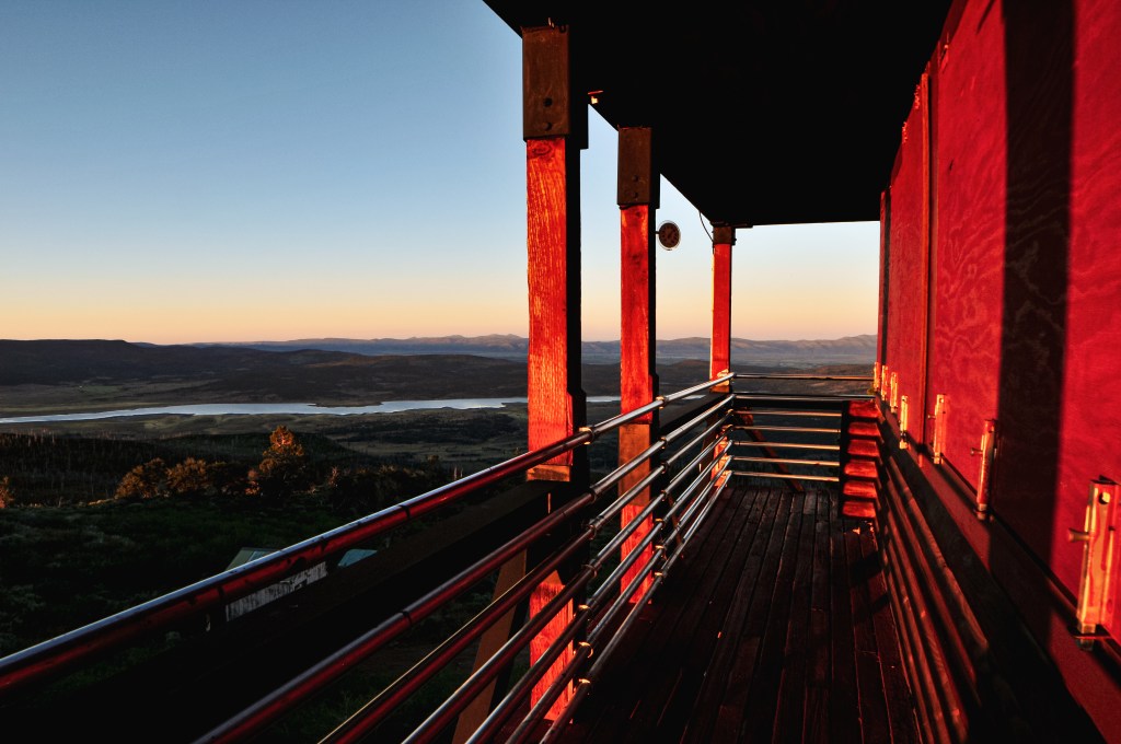
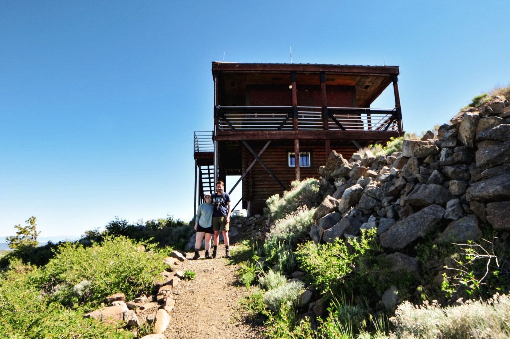
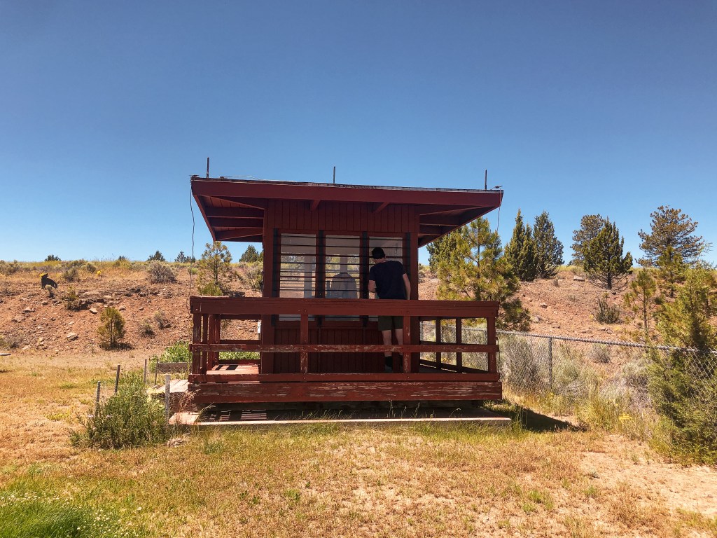
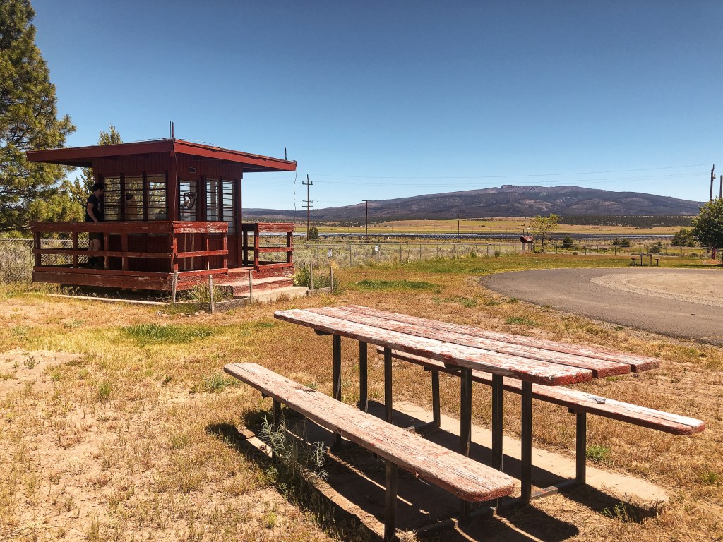
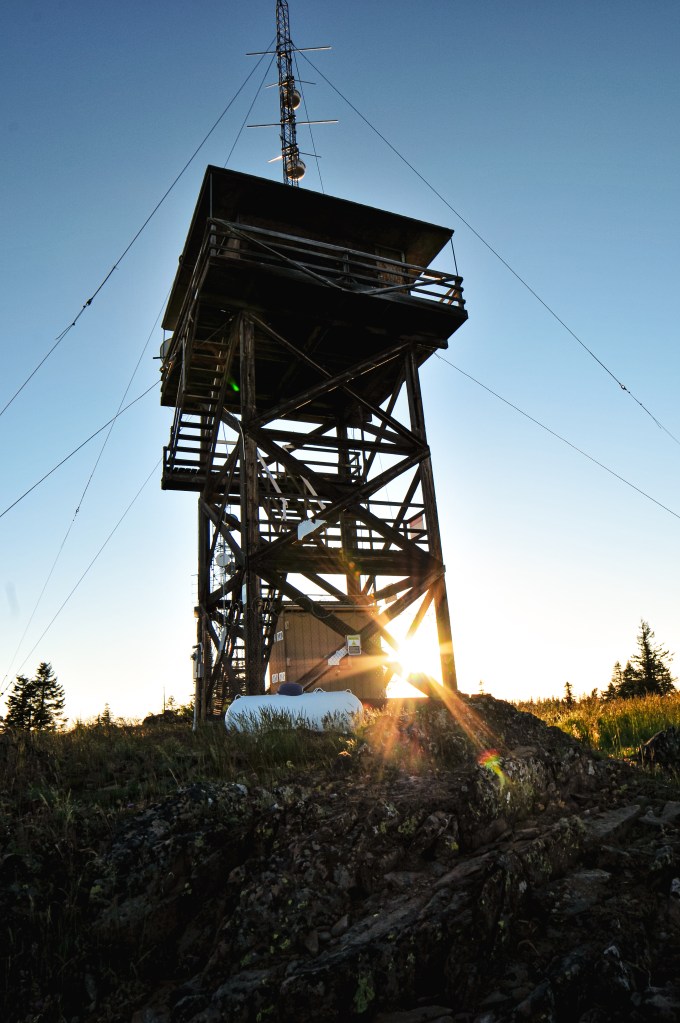
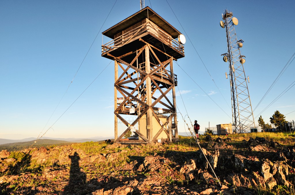
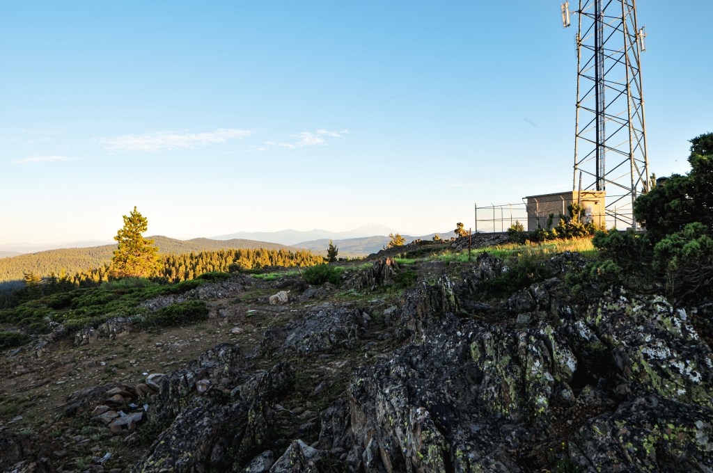
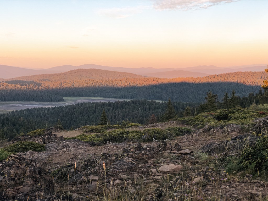
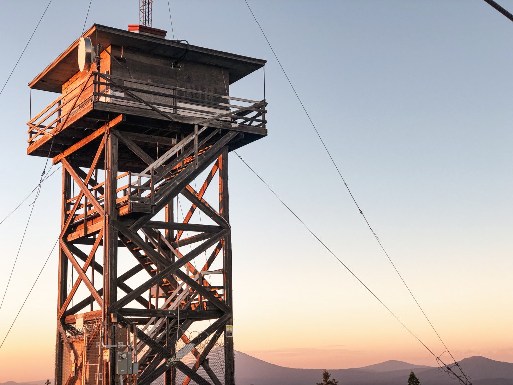
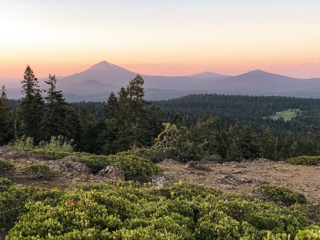
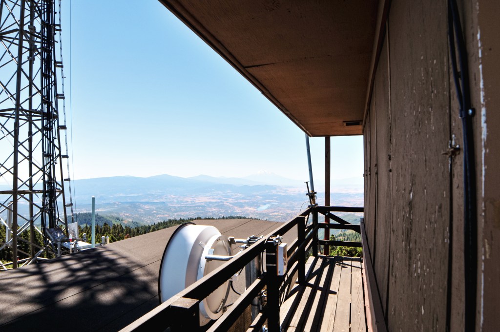
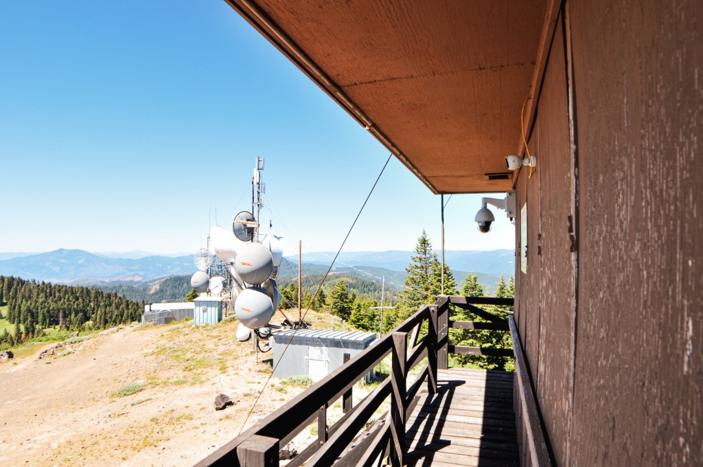
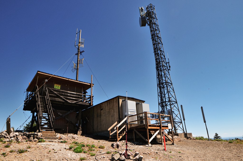
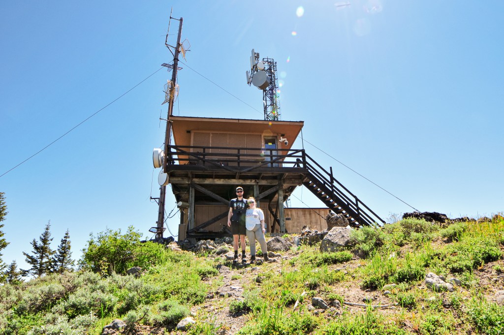
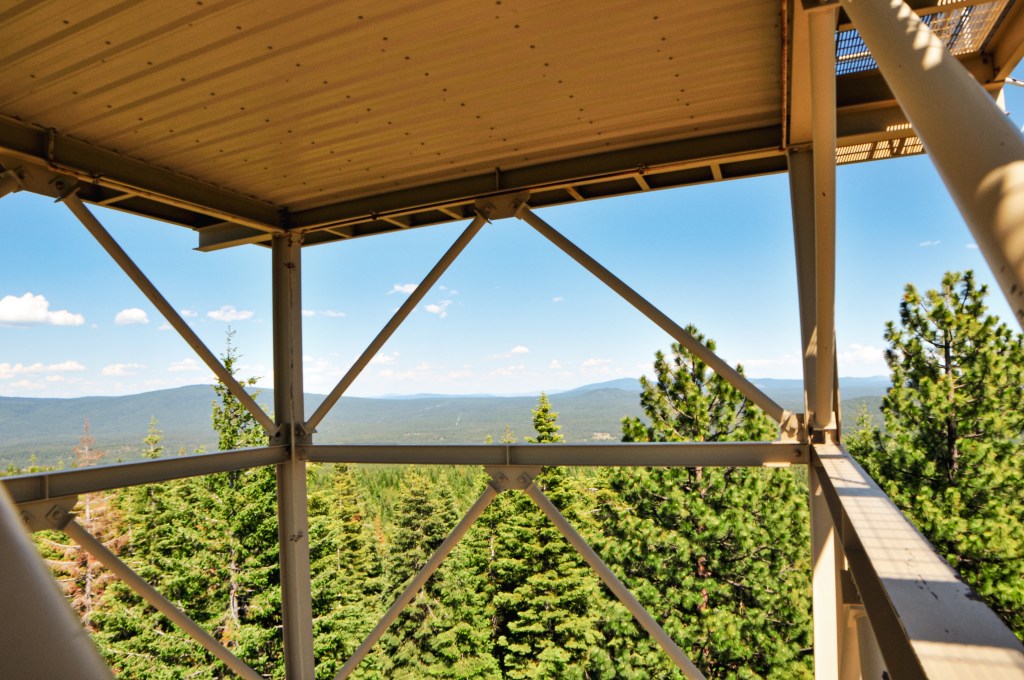
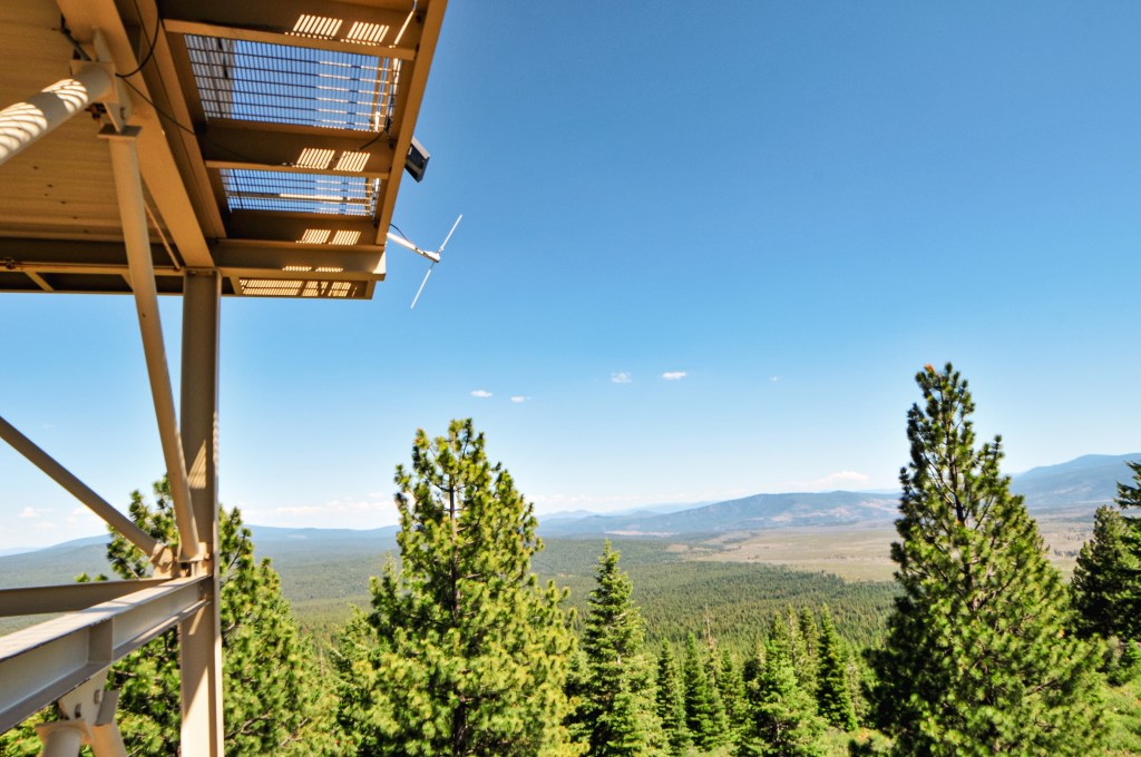
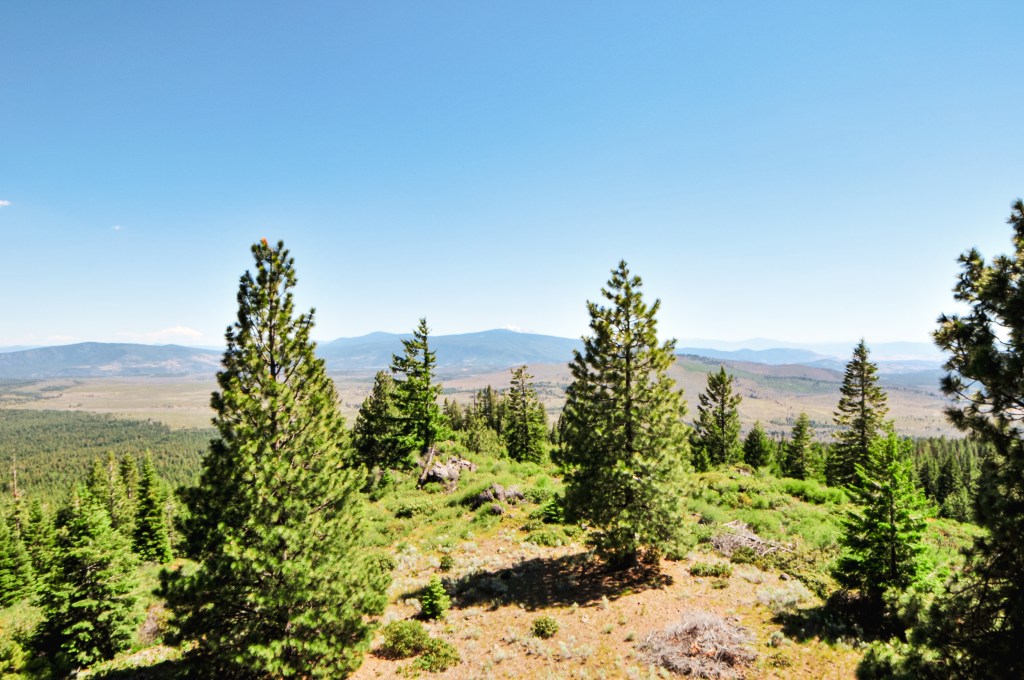
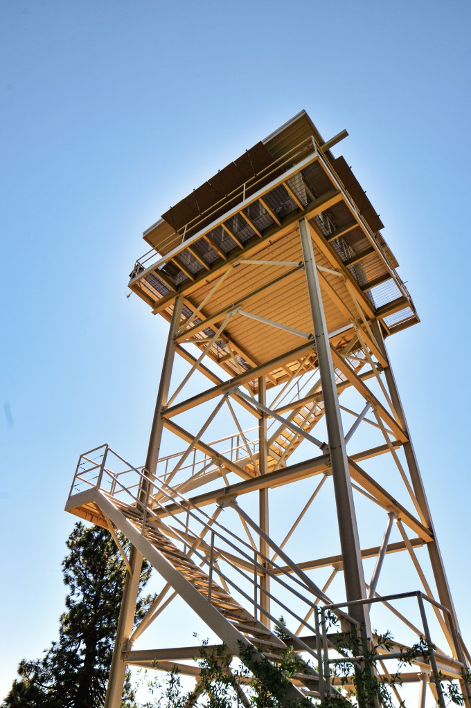
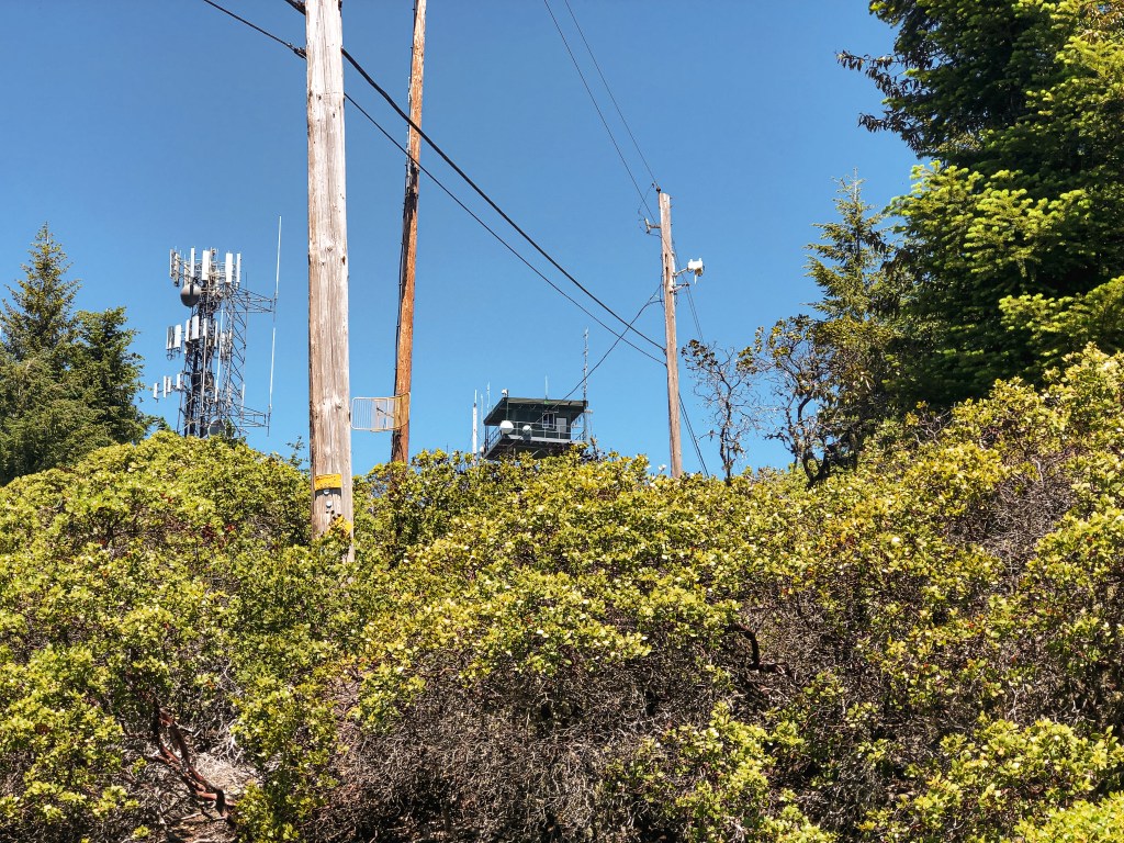
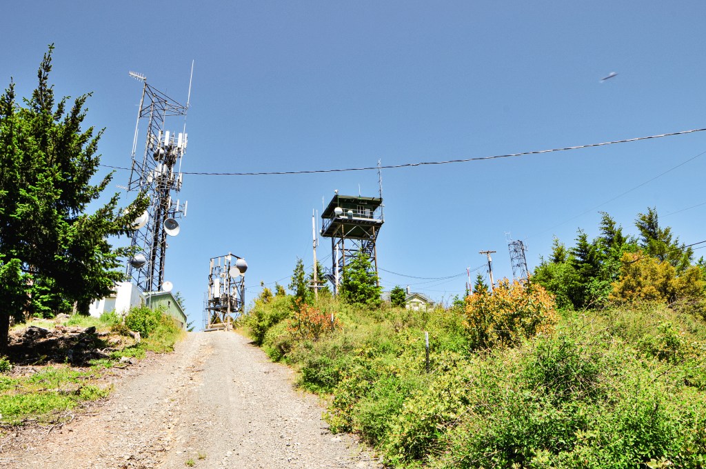
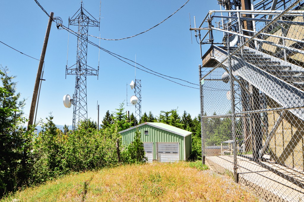
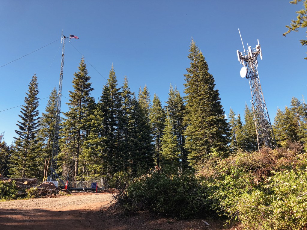
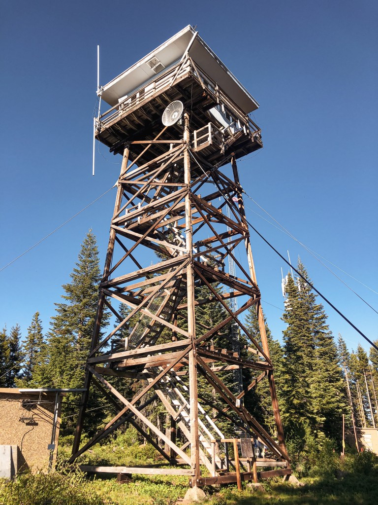
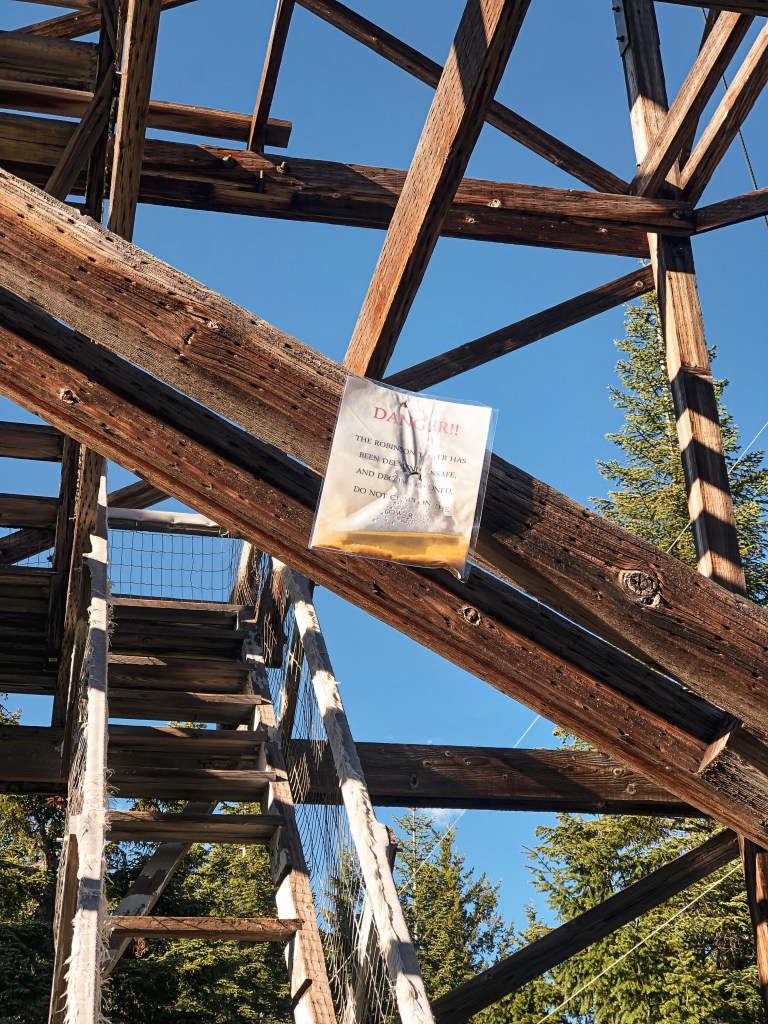
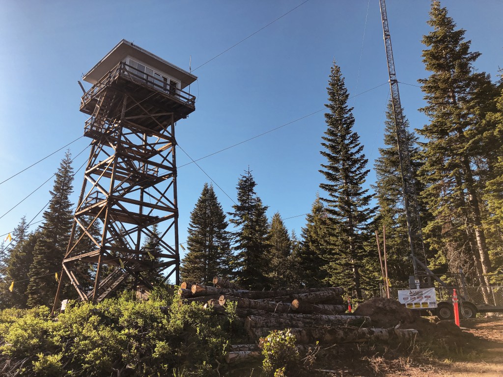
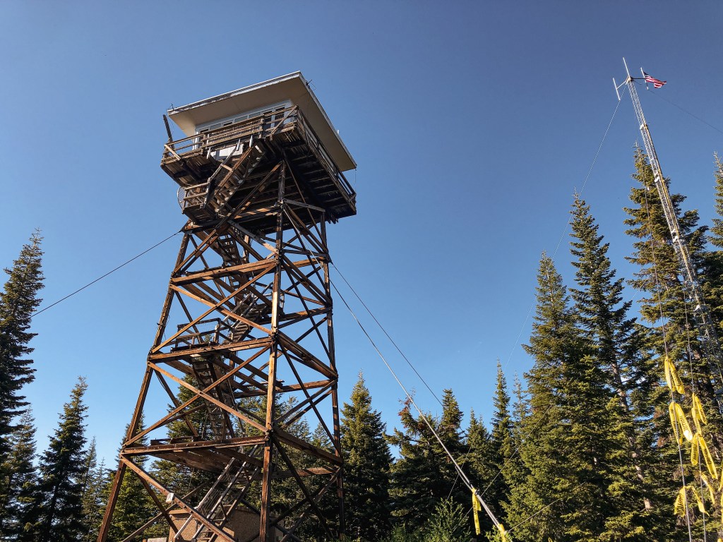
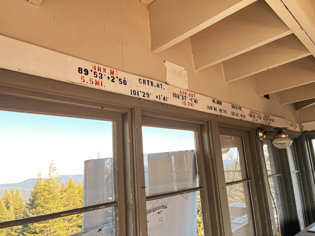
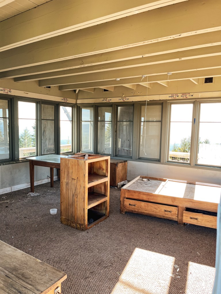
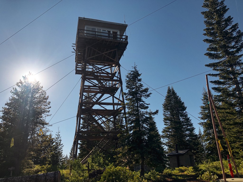
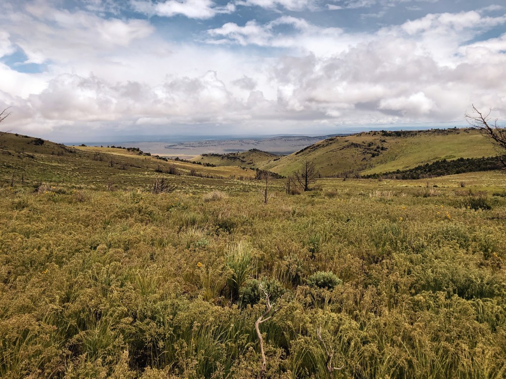
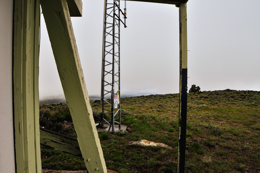
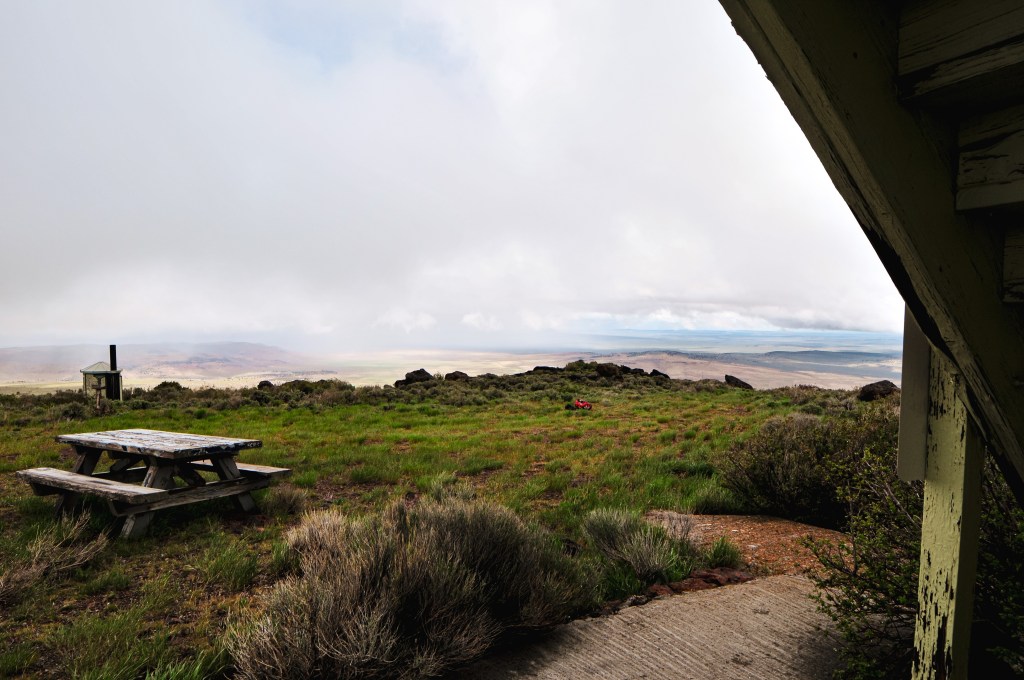
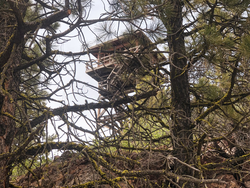
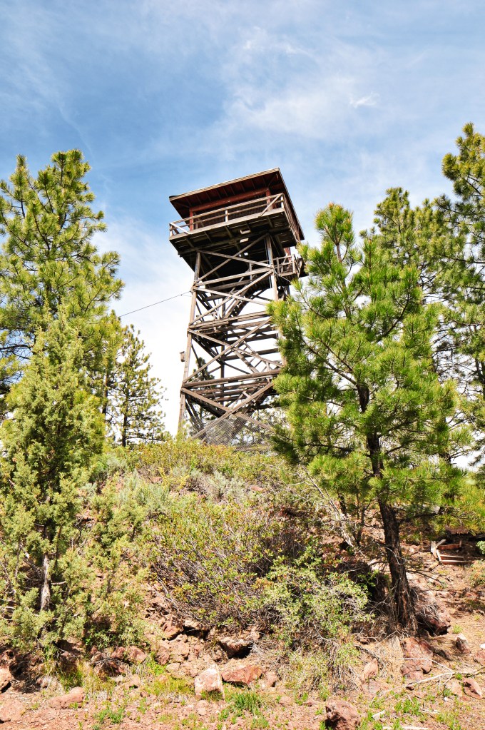
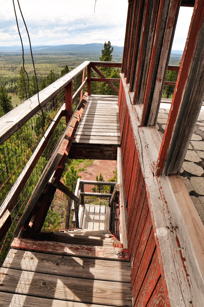
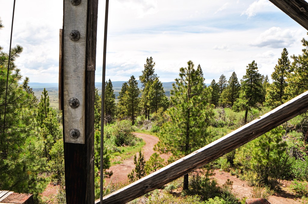
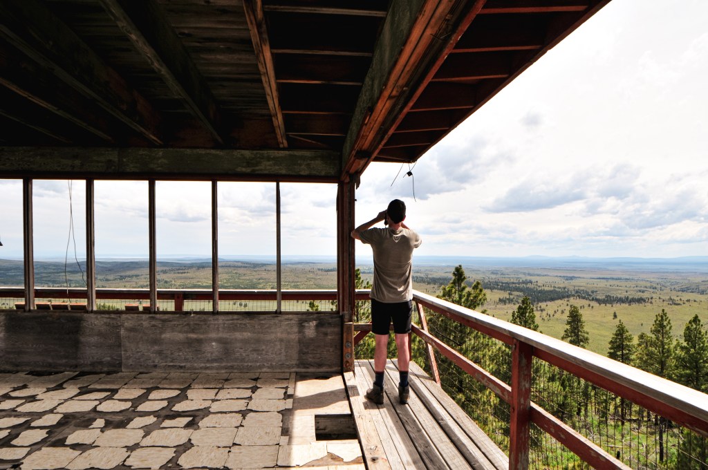
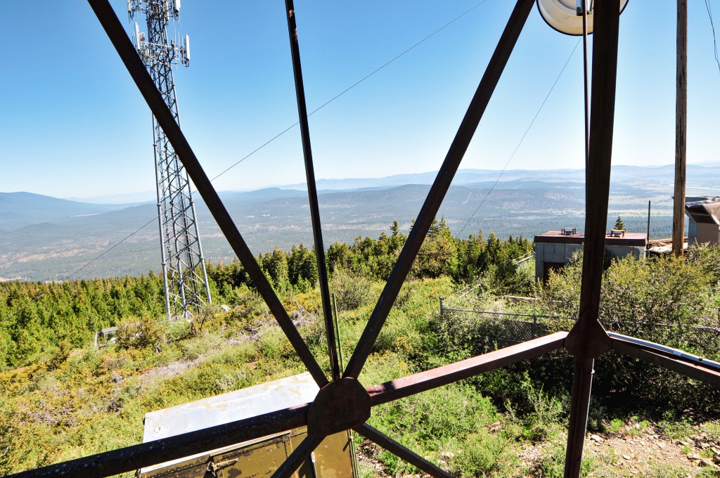
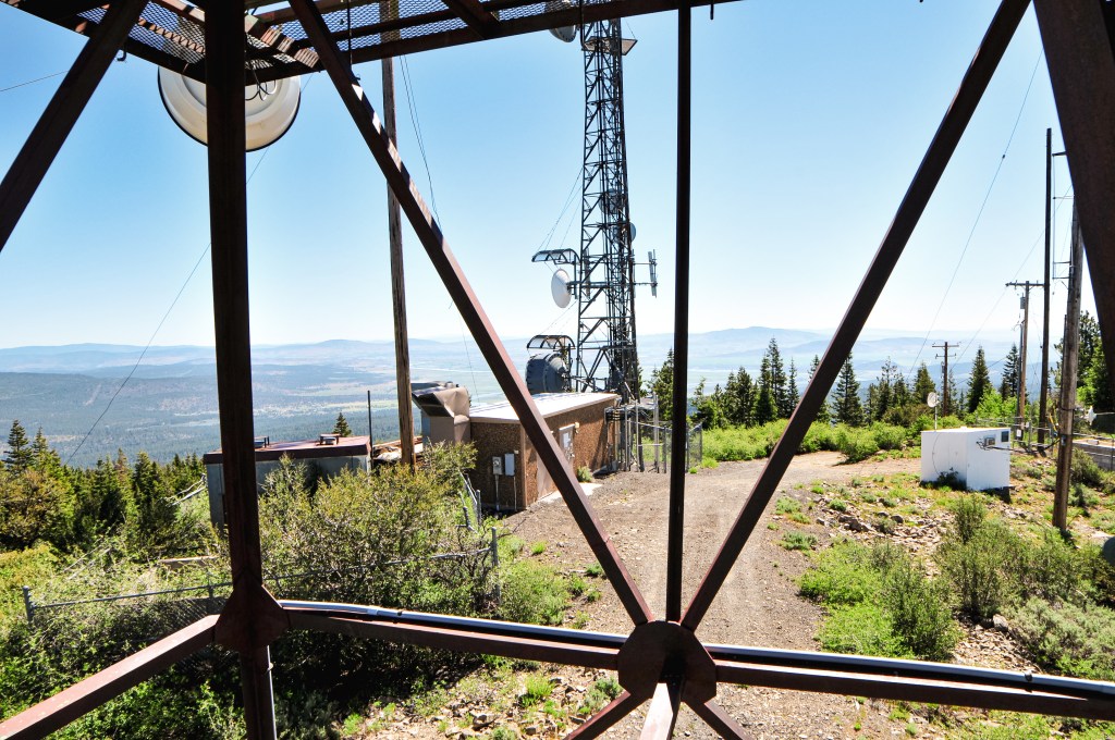
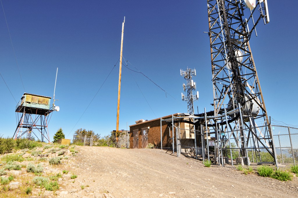
Despite camping near a reservoir the last two nights, the bugs had been minimal. When we stepped out of our car here, we were immediately swarmed by mosquitoes. I had forgotten how annoying these little buggers are. It was already feeling warm for the day, so we were thankful for a short walk. We were on the summit a little after 10AM. This is another summit covered in communication buildings, shocking I know. They obstructed a lot of the views north and south of the lookout. But we got a pretty good view to the west from where we had come. The lookout tower itself is no longer staffed and looked a little worse for wear. We were pleased that our progress had been successful so far and moved on to our next target for the day.


History.
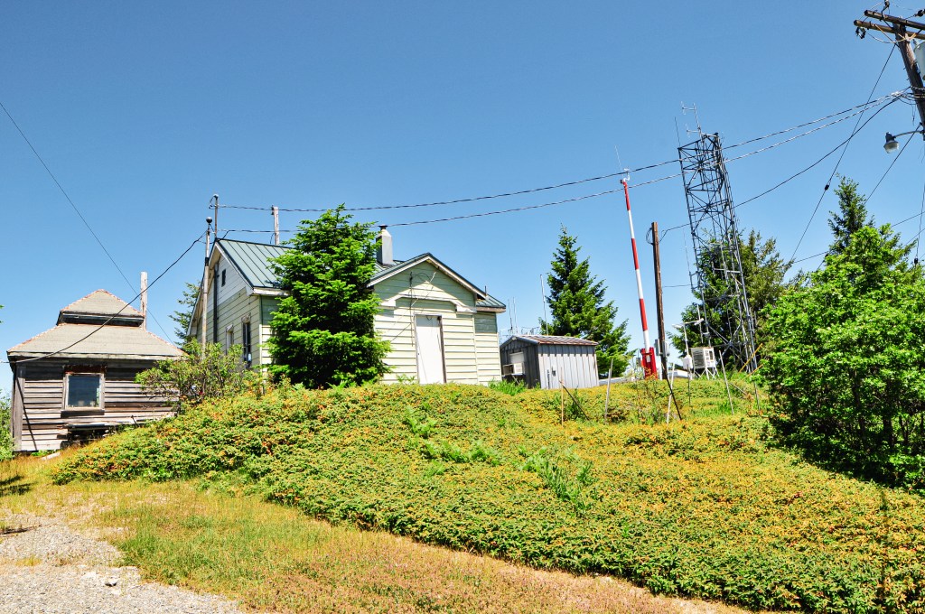
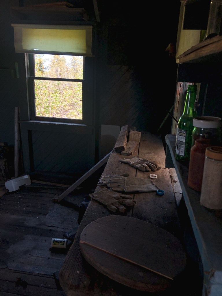
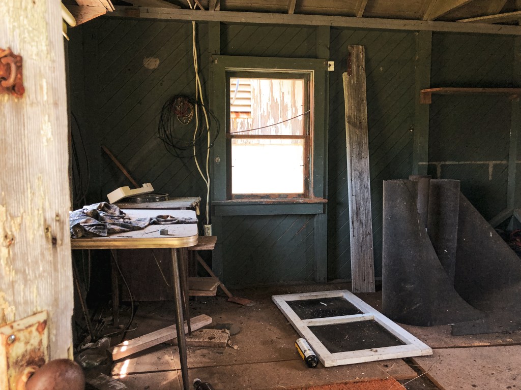
The existing fire lookout on Chase Mountain was built in 1951 by Pade & Holland Sheet Metal Co. It was constructed as a 20′ steel tower with 14×14 cab. It was actively staffed up until the 2010s and even had some remodel work done in 2004. It was initially started with an observation platform atop a 12×12 cabin in the early 1920s. This was later moved below the summit and converted to living quarters. It has seen a few different structures since then. A 10×10 gable roofed structure was added in the late 1920s. In 1935, a new tower was constructed. In 1943, another frame cabin was built. I couldn’t find the specifics on the size and shape of these structures. One of them was moved to Hamelton Butte after the steel tower was built, but it is unclear which structure it was.