Location.
Cascade-Siskiyou National Monument; Oregon Department of Forestry
Status.
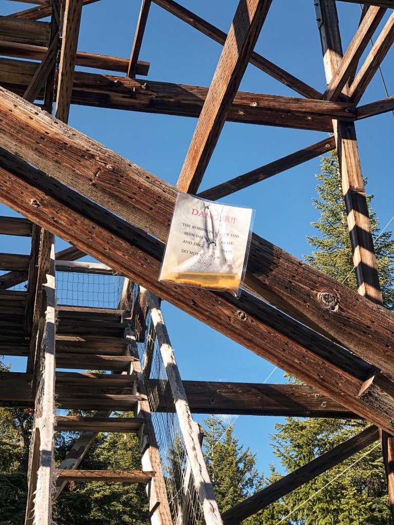
Fire Detection Camera; Currently standing
Estimated drive time from Portland, OR.
5-1/2 hours
Date visited.
June 26, 2022
Elevation.
6,091′
National Historic Lookout Register.
US 340; OR 39
Trip Report.
Day 2/10: Lookout Road Trip 2022
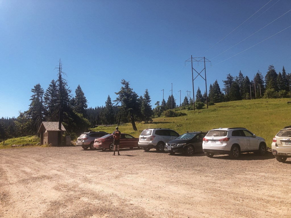
Another early morning was on the schedule. Though, we were able to sleep in an extra hour due to the central location of our camp. The plan for the day was to hike to Soda Mountain via the PCT, potentially visit Parker Mountain (post) if we finished early, and check off Table Mountain (post) near sunset. We packed a lunch and headed out of the Hyatt Lake Recreation Area towards HWY-66. From HWY-66, we took a road conveniently marked as Soda Mountain Road. This lead us all the way to the Hobart Bluff Trailhead to start our hike. The road is decent gravel but has a few potholes to avoid. It was nothing unmanageable to us low clearance folk. There were a few cars parked at the trailhead already. We figured this would be the busiest lookout we’d visit this trip given its proximity to the PCT and being within a National Monument.

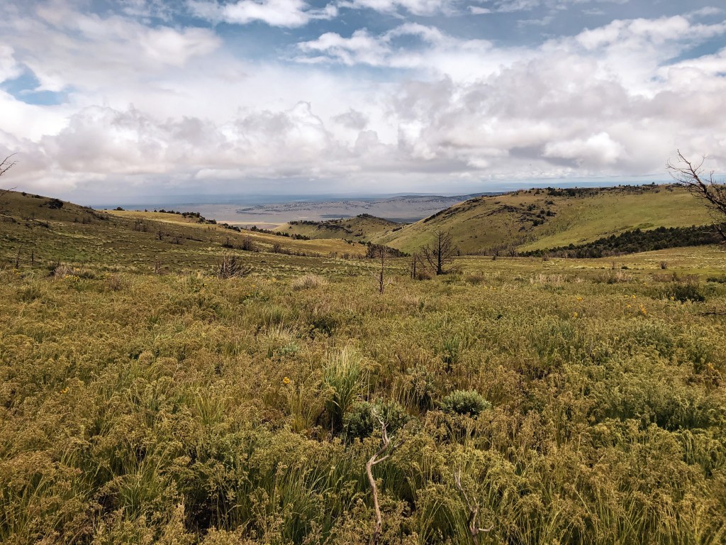
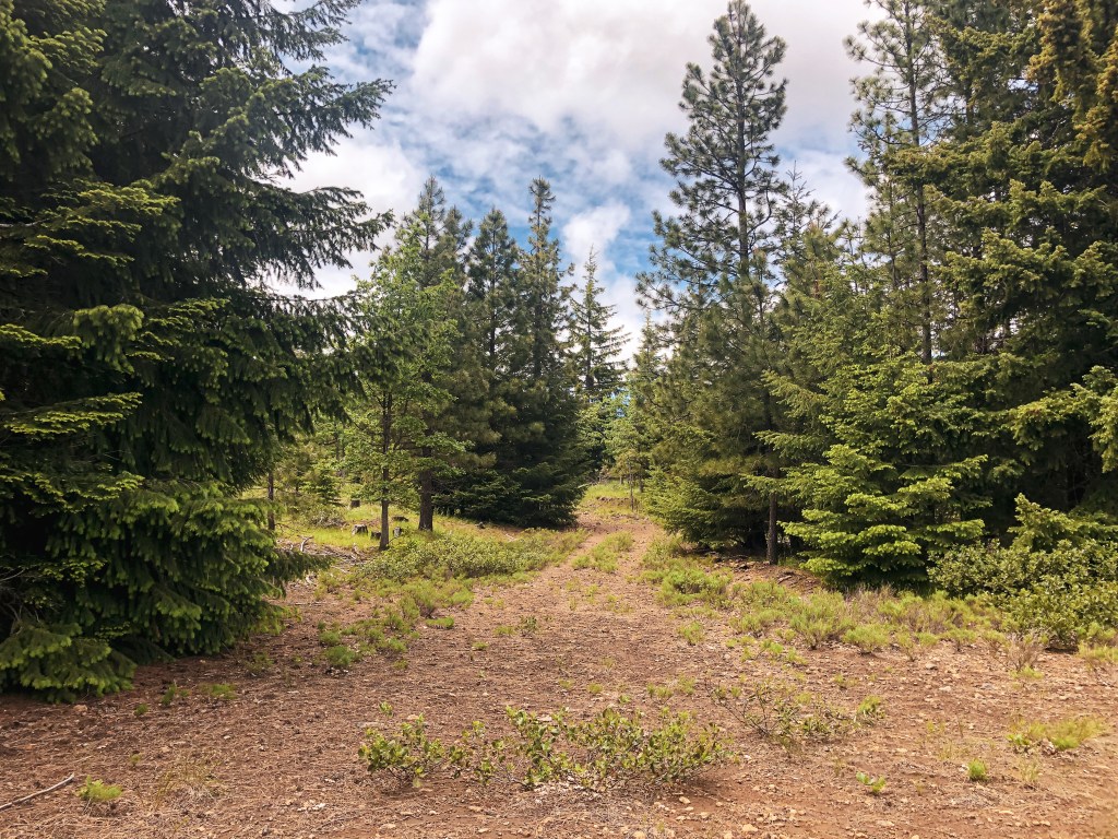
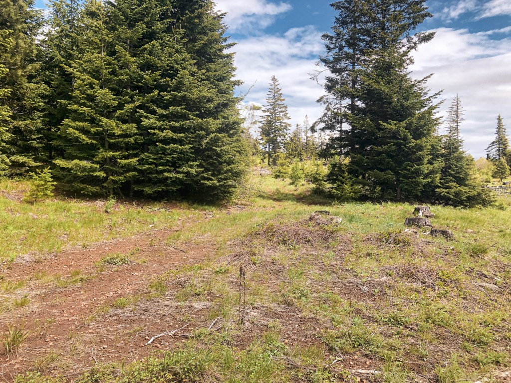
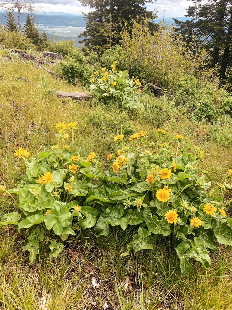
The trail starts out on the PCT heading south towards the California border over an exposed slope. It was covered in all sorts of wildflowers while we were there. Eventually, it enters a shaded forest that occasionally opens up to views out towards Pilot Rock and Mt Ashland. You will stay on the PCT for about a mile until you reach a trail junction. There is no sign stating this is the trail to Soda Mountain but there is a trail marker to help identify the junction. It takes a sharp left up the slope and connects with the road that will take you to the summit. Be aware of where you come out on the road, the trail becomes faint here. There is a “Soda Mountain-Pilot Rock Jeep Road” sign that can be used as a marker to find where you need to turn on the way back. You also have the option to walk the road back to the trailhead. We passed a few day and section hikers along the PCT, but once we turned up the connector trail we surprisingly had it to ourselves. There was a section hiker sitting at the junction that asked where we were headed. We mentioned the lookout and he asked how far it was from there. I didn’t know the exact distance but guesstimated about a mile or mile and a half. Too far for him he grunted. His pack looked pretty loaded and I agreed. Round trip from the trailhead it is roughly 4 miles with a little over 800′ in elevation gain. It was a pleasant hike that was mostly in the shade.


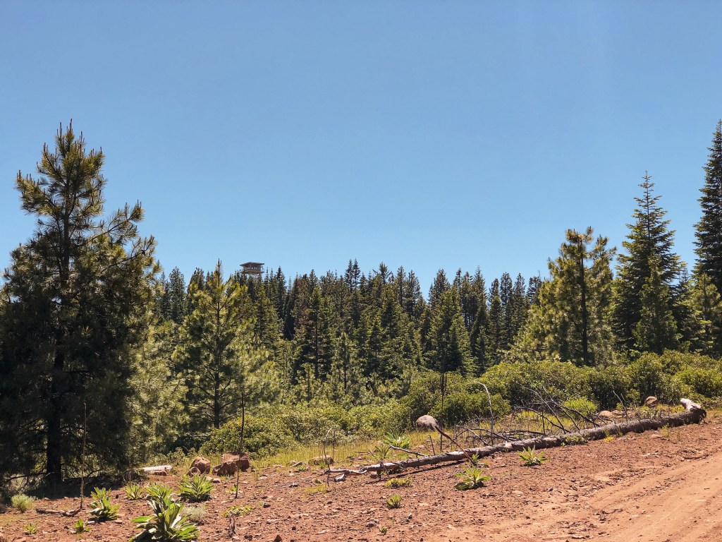
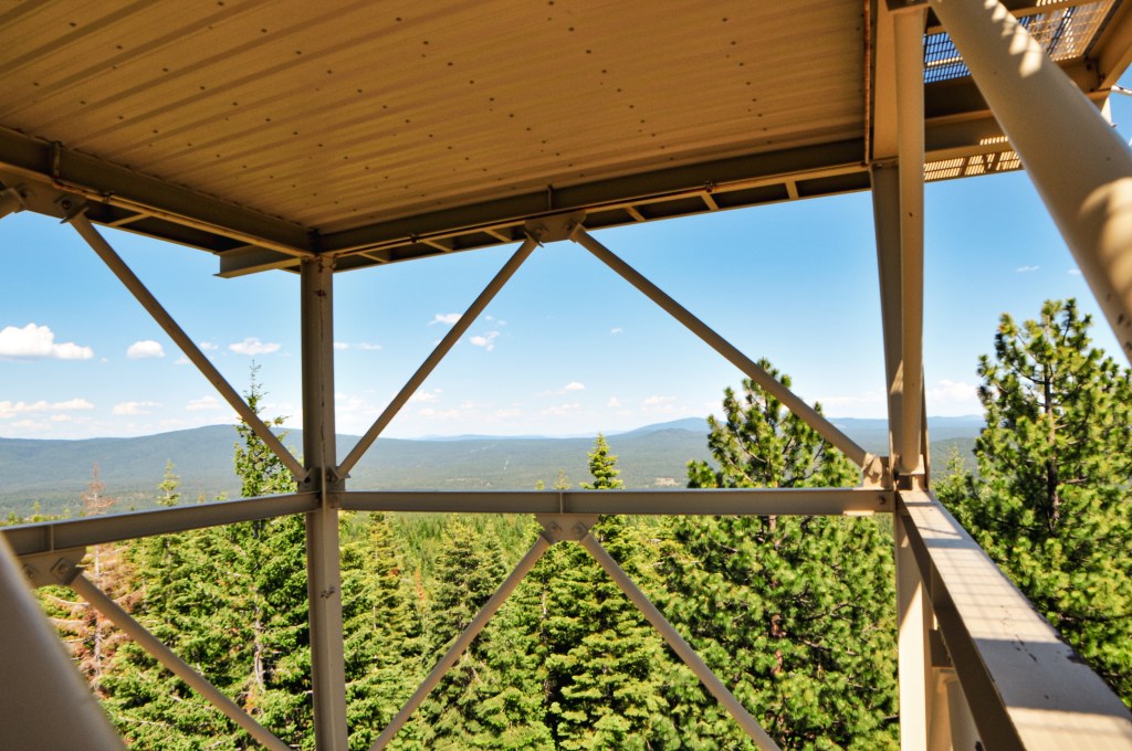
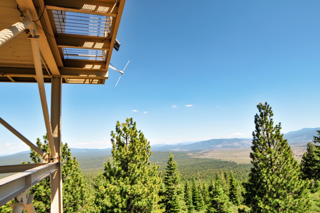
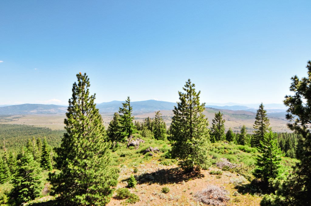
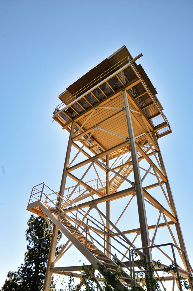
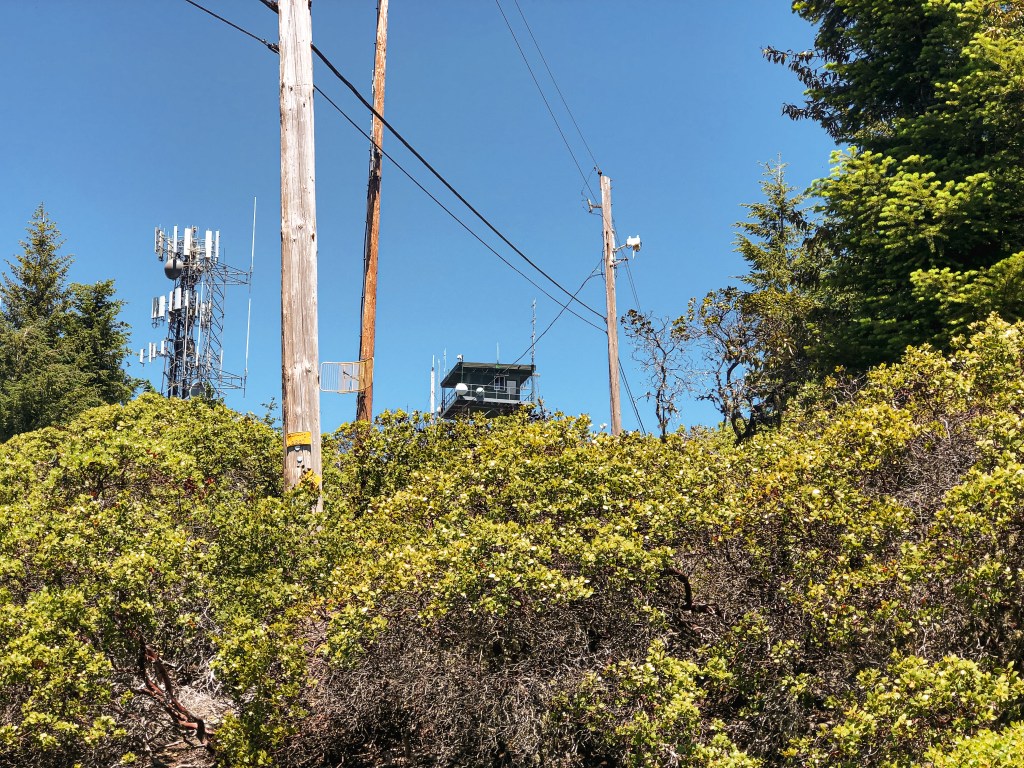
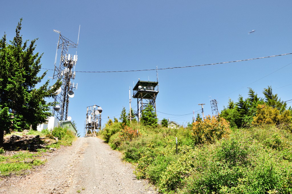
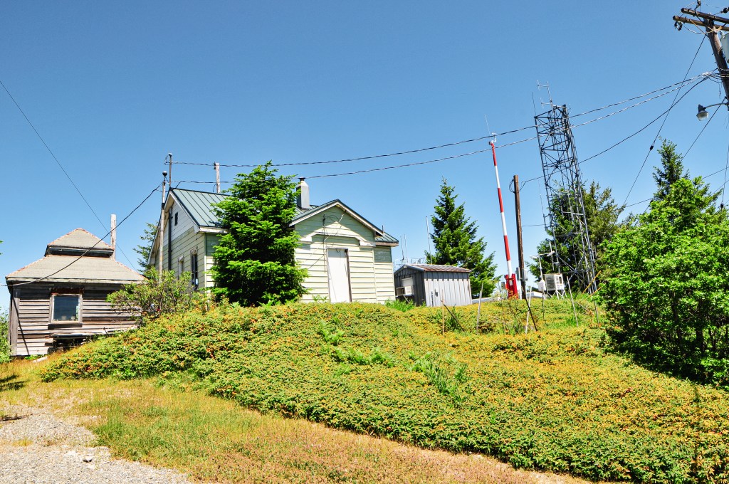
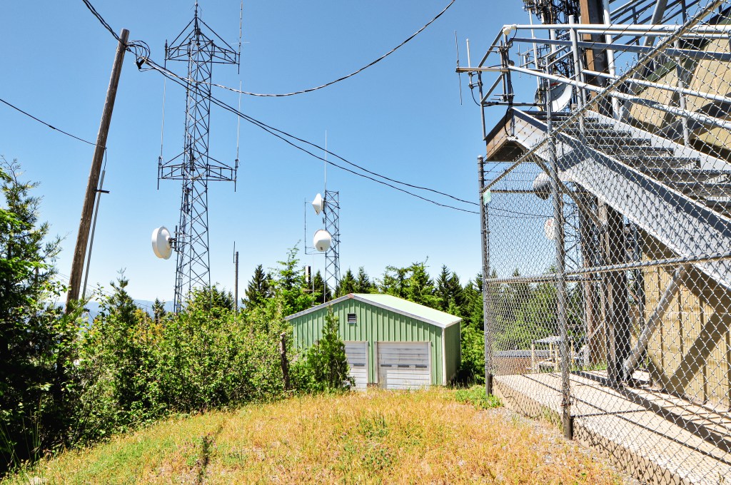
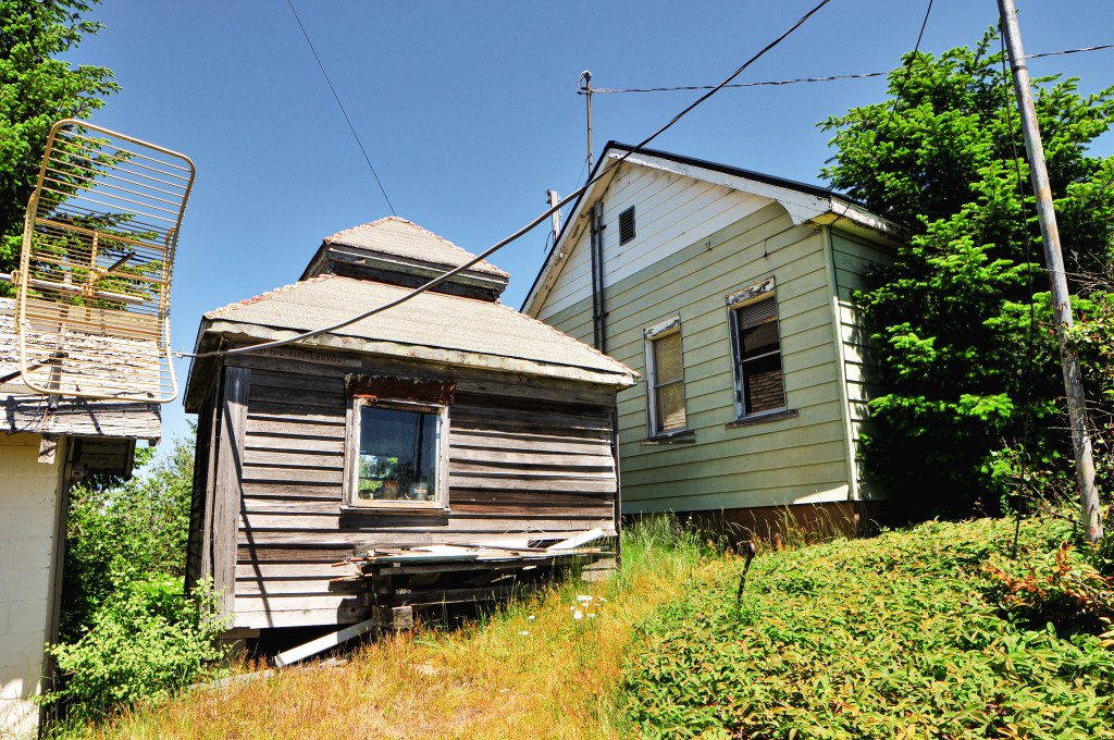
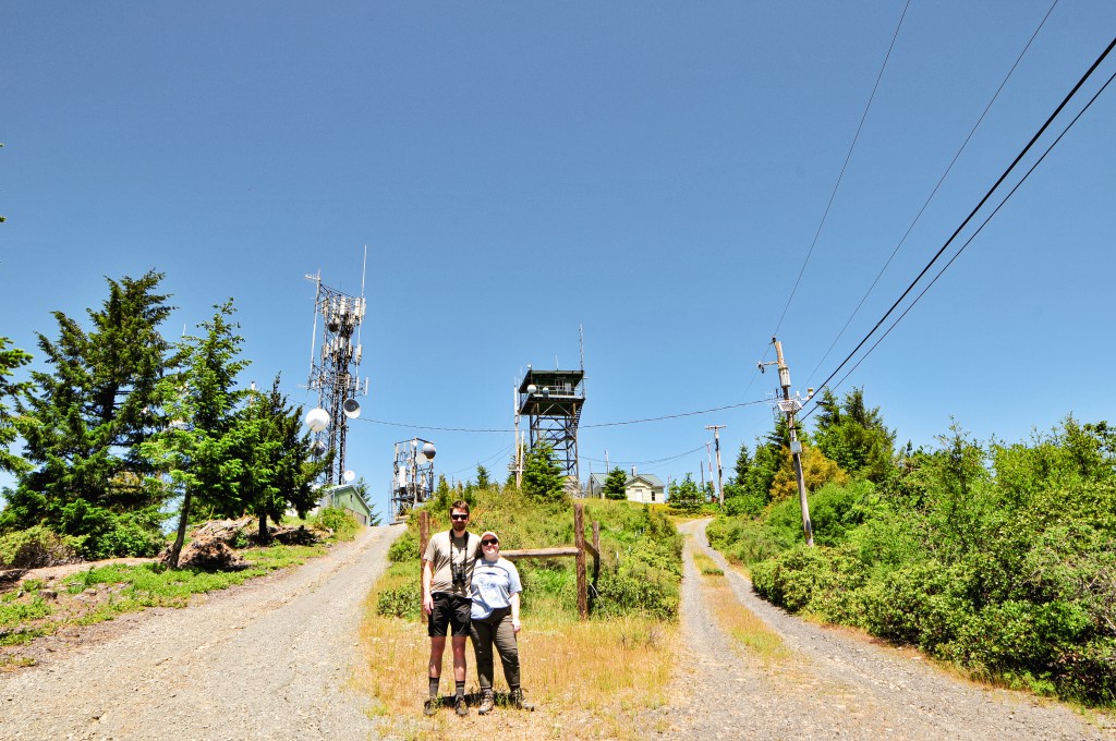
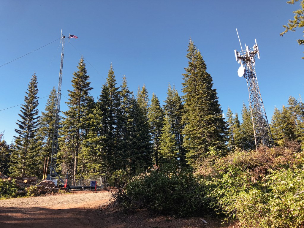
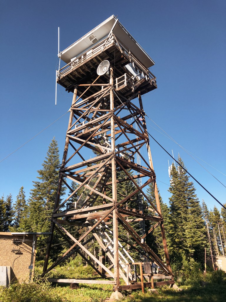
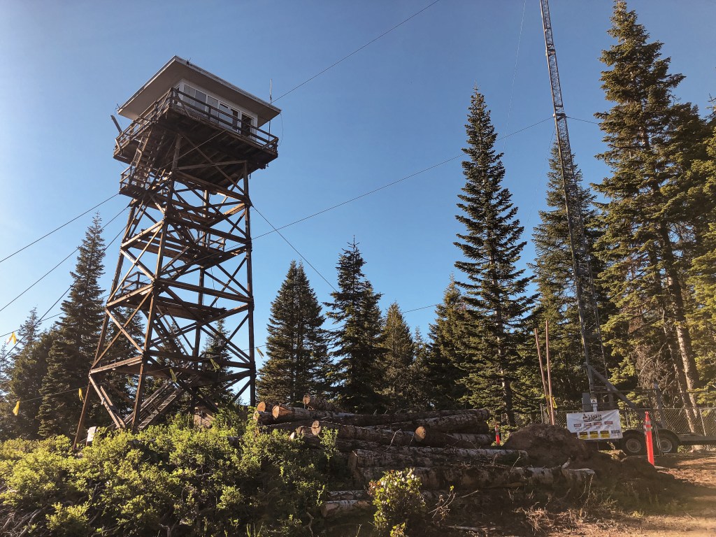
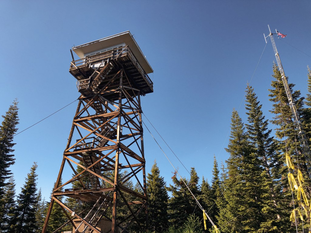
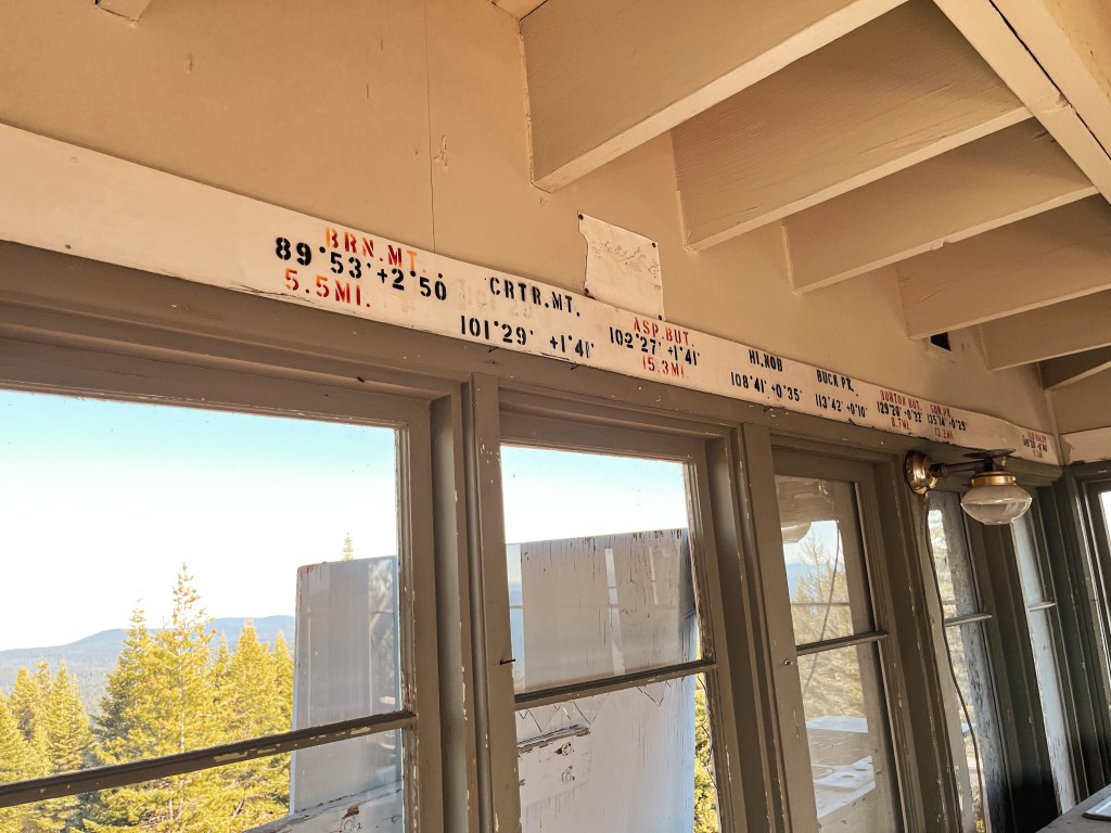
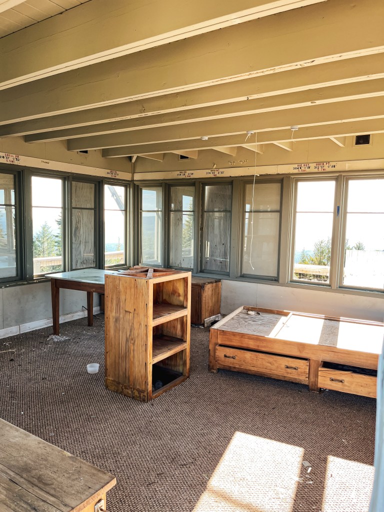
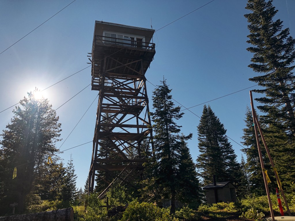
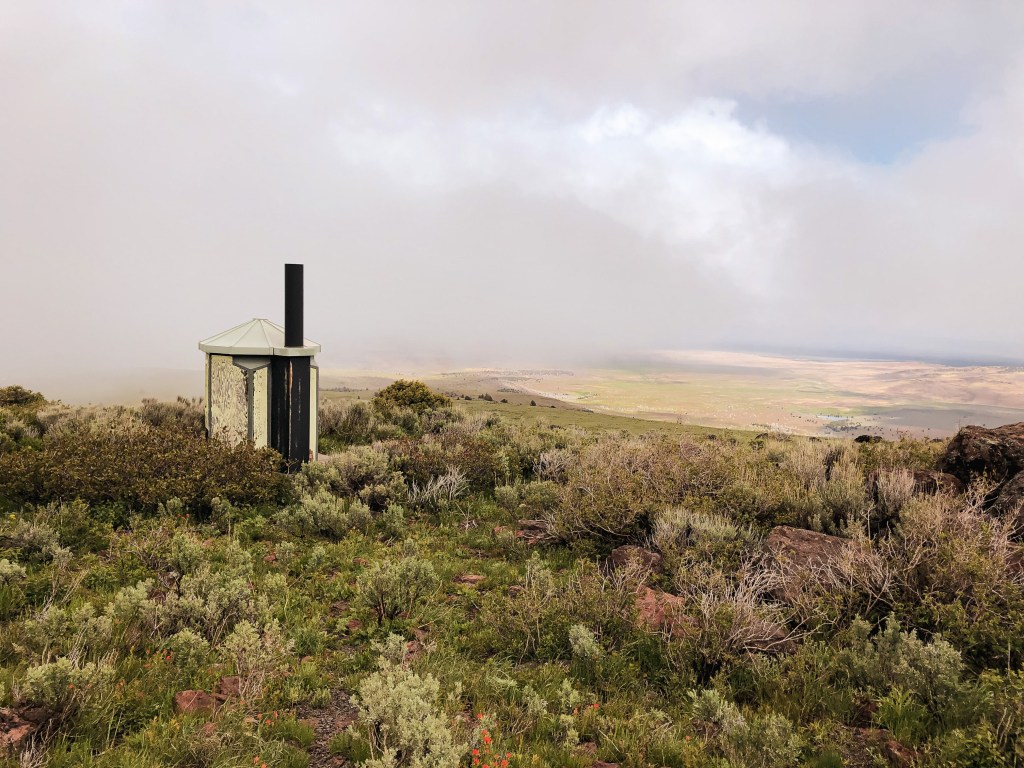
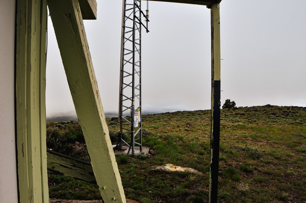
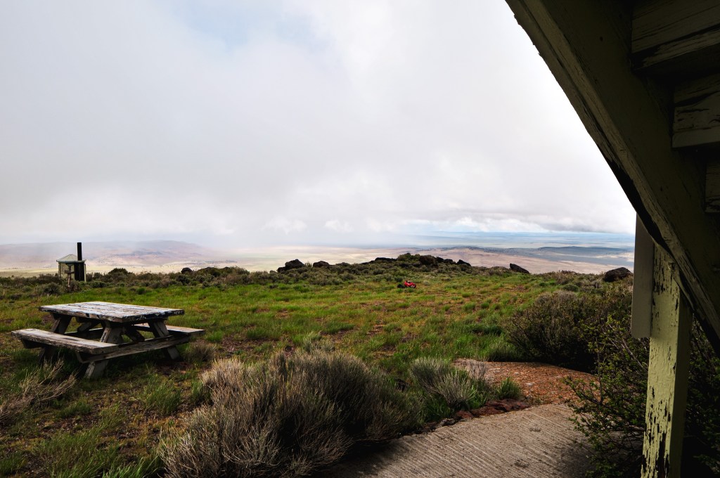
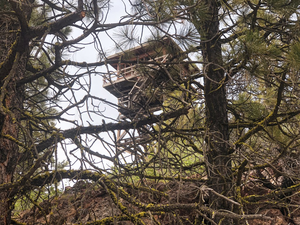
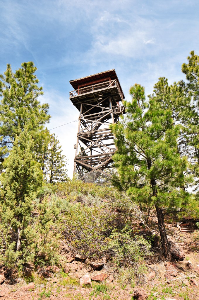
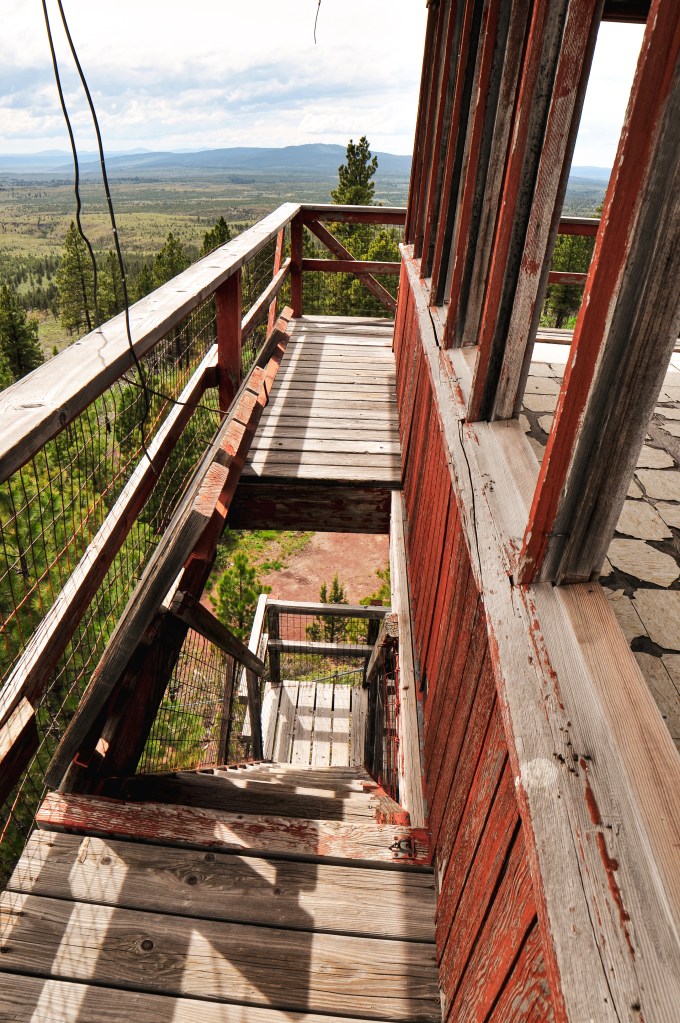
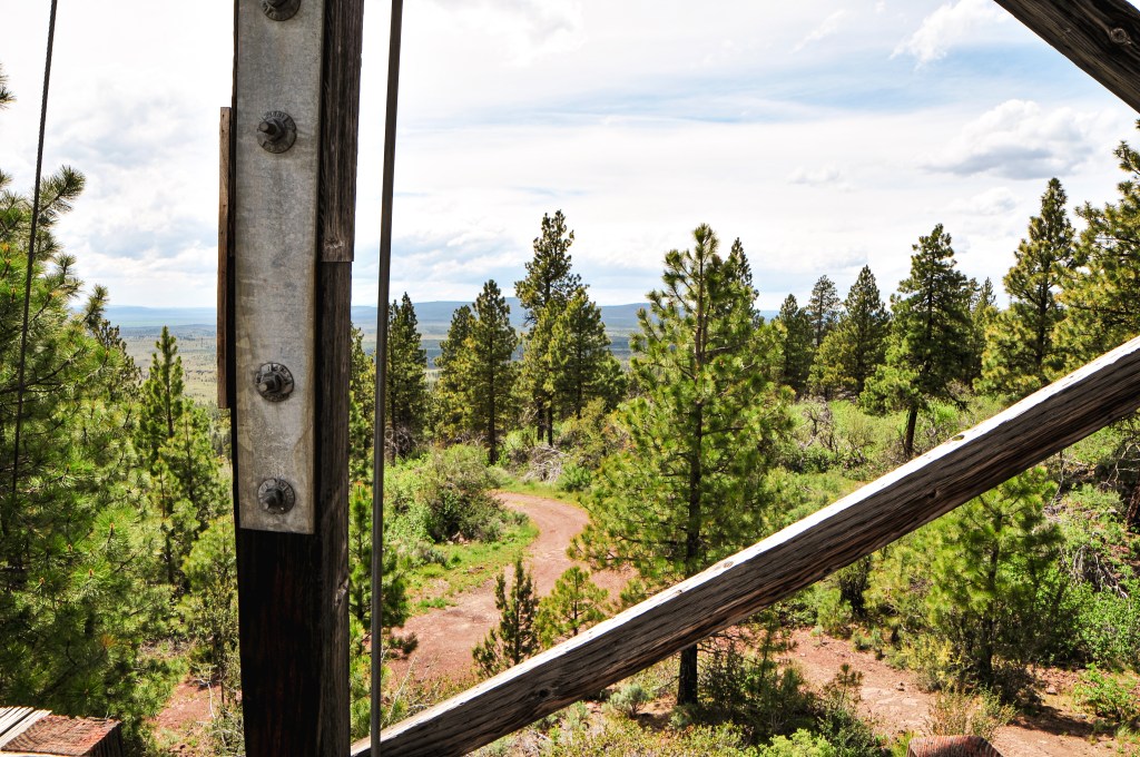
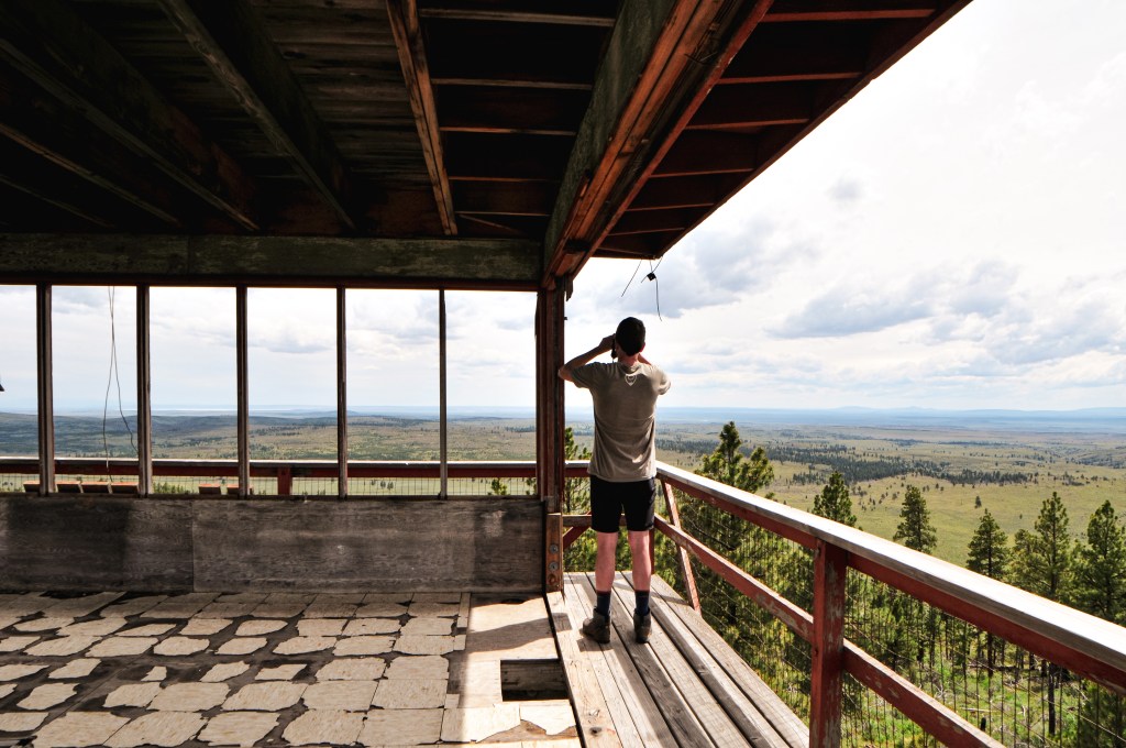
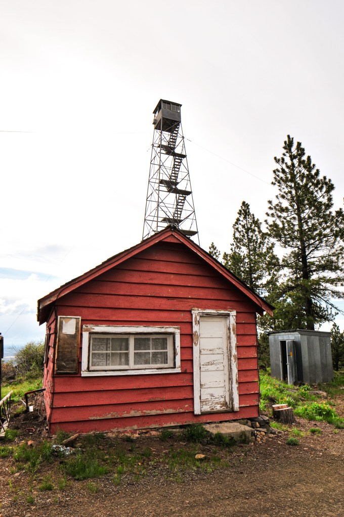
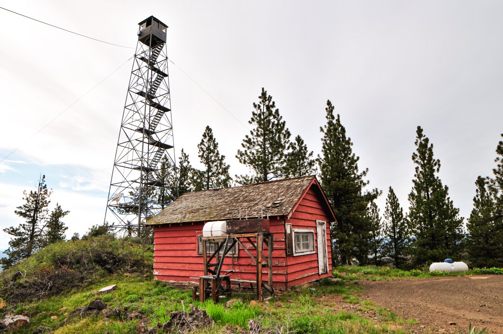
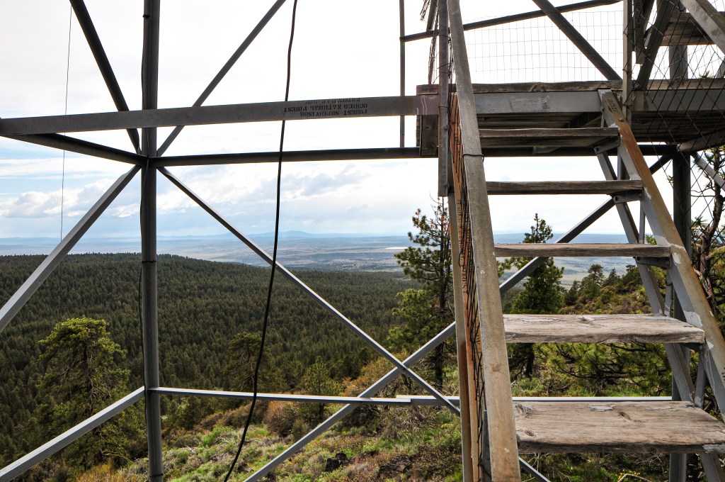
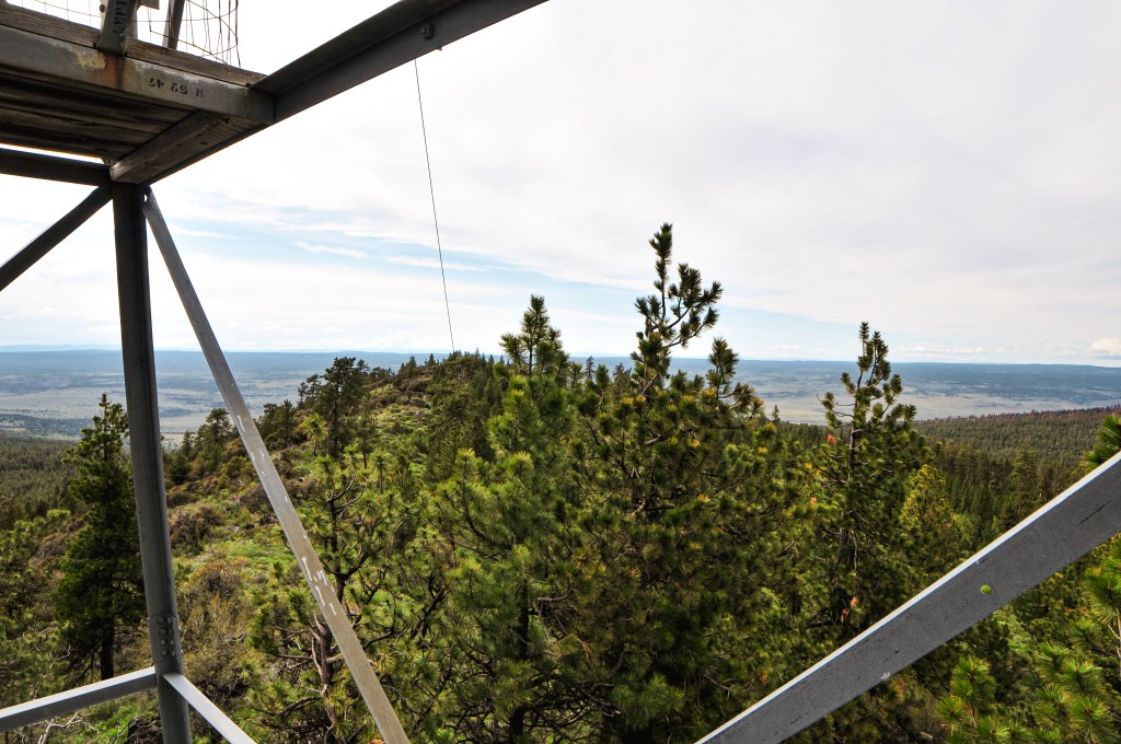
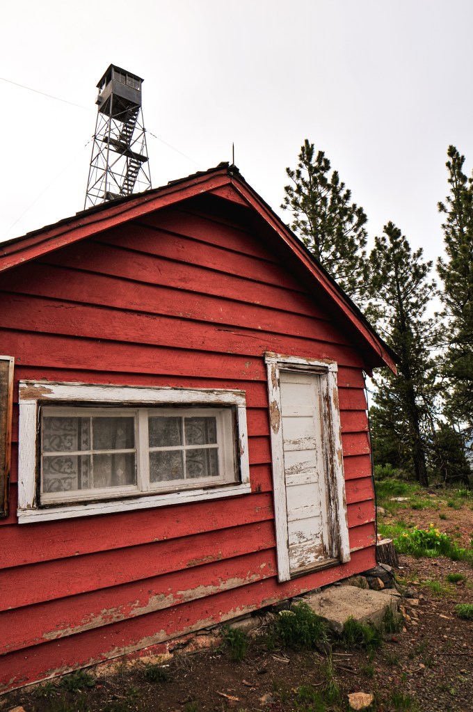
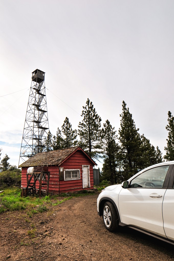
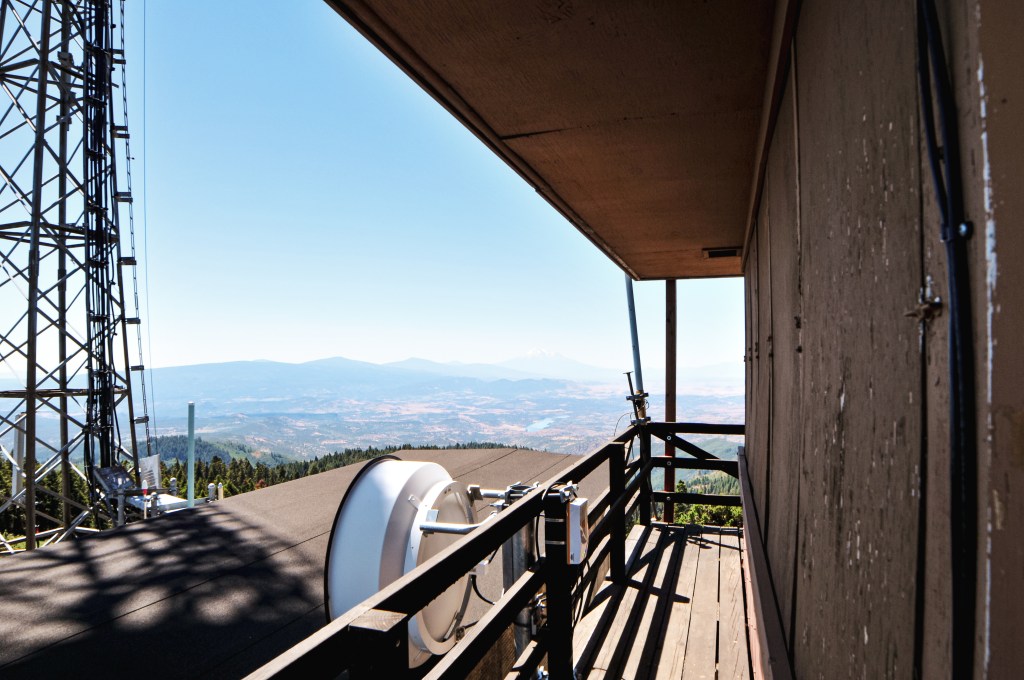
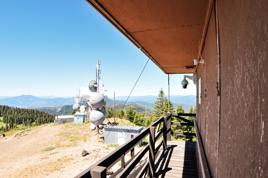
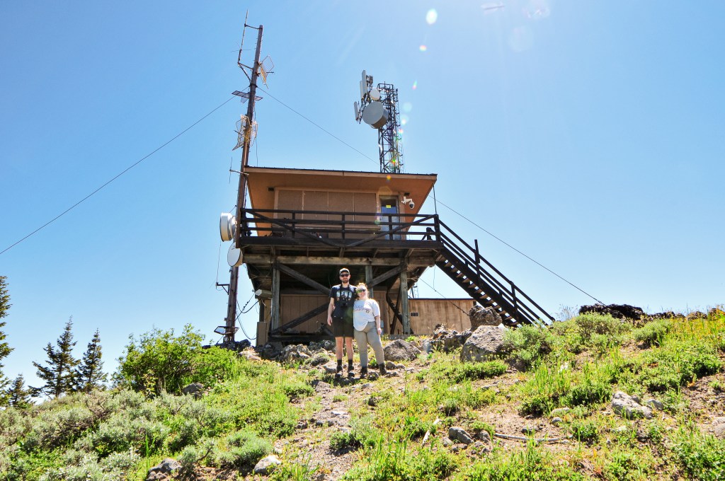
Once on the summit, you are exposed to the excessive amount of communication towers. The short little fire lookout can be found tucked in between them. Despite minor obstructions, you still get pretty great views of Mt Shasta, Mt McLoughlin, Mt Ashland, Soda Mountain Wilderness, and the surrounding valleys. We enjoyed our lunch in the shade of the catwalk with no other visitors. Once we decided to head down we figured we’d run into at least one person. It’s the weekend for Pete’s Sake! But, we only ever saw people hiking on the PCT portion. The day was still young when we reached the car and we decided we had time to head farther east to Parker Mountain (post).


History.
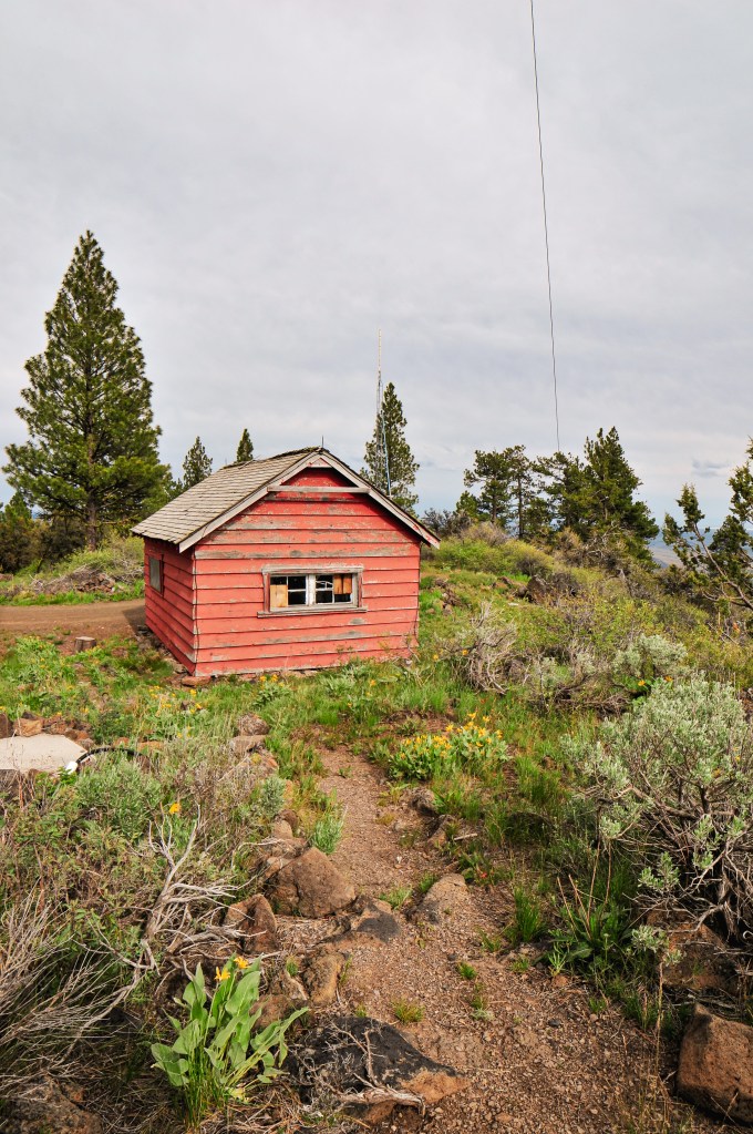
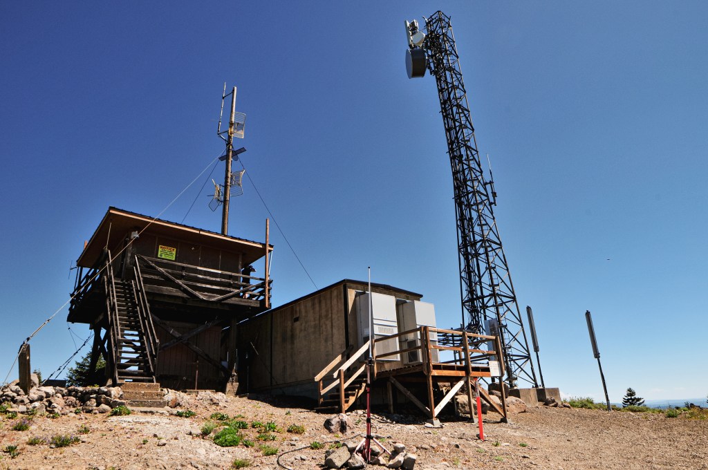
Established in 1933, Soda Mountain was built by the CCC as a 6′ enclosed tower with L-4 cab. It was located on land owned by the Bureau of Land Management just four miles north of the California border, but it seems it was managed by the ODF. In 1962, the lookout was rebuilt raising the tower to 8′ and restructuring the cab as a 14’x14′ ODF flat top. A communication site was added to the summit in 1968 which was able to provide electricity to the lookout as well. Cellular towers were added in 1992 that partially blocked the view. A year later they raised the tower to 10′ and added a storage shed underneath. The area wasn’t considered a National Monument until June 2000. It was designated by President Clinton to protect the biodiversity of where the Cascade Range and Siskiyou Mountains meet. In 2015, the metal roof sustained damage from the harsh winter and had to be temporarily tarped to cover the exposed area. It was actively staffed every season up until 2017. I assume that’s when they installed a camera similar to most other ODF fire lookouts we’ve visited.

More Information.