Location.
Umpqua National Forest
Status.
Rental Program; Currently Standing
Estimated drive time from Portland, OR.
4-1/2 hours
Date visited.
May 12, 2024
Elevation.
4,112′
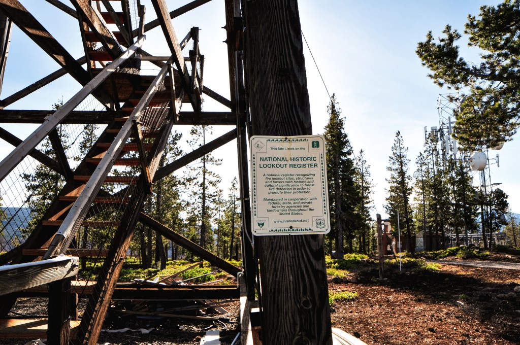
National Historic Lookout Register.
US 355; OR 41
Trip Report.
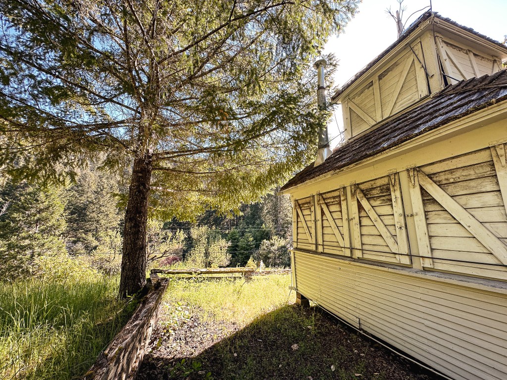
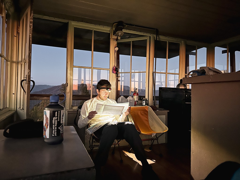
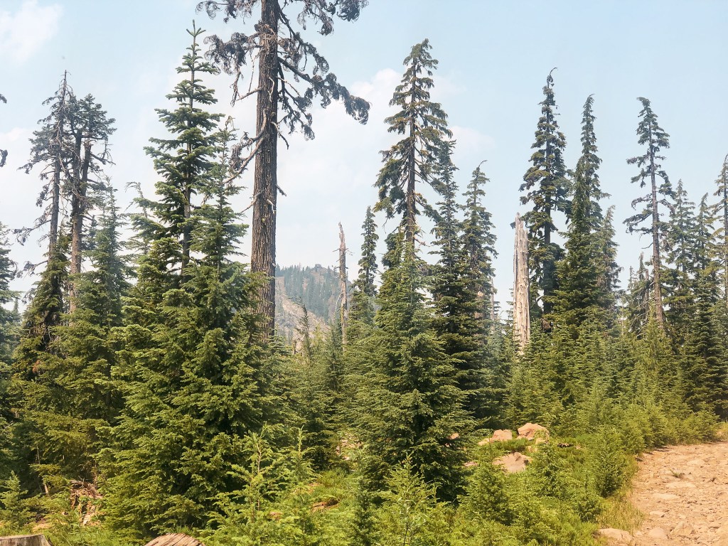
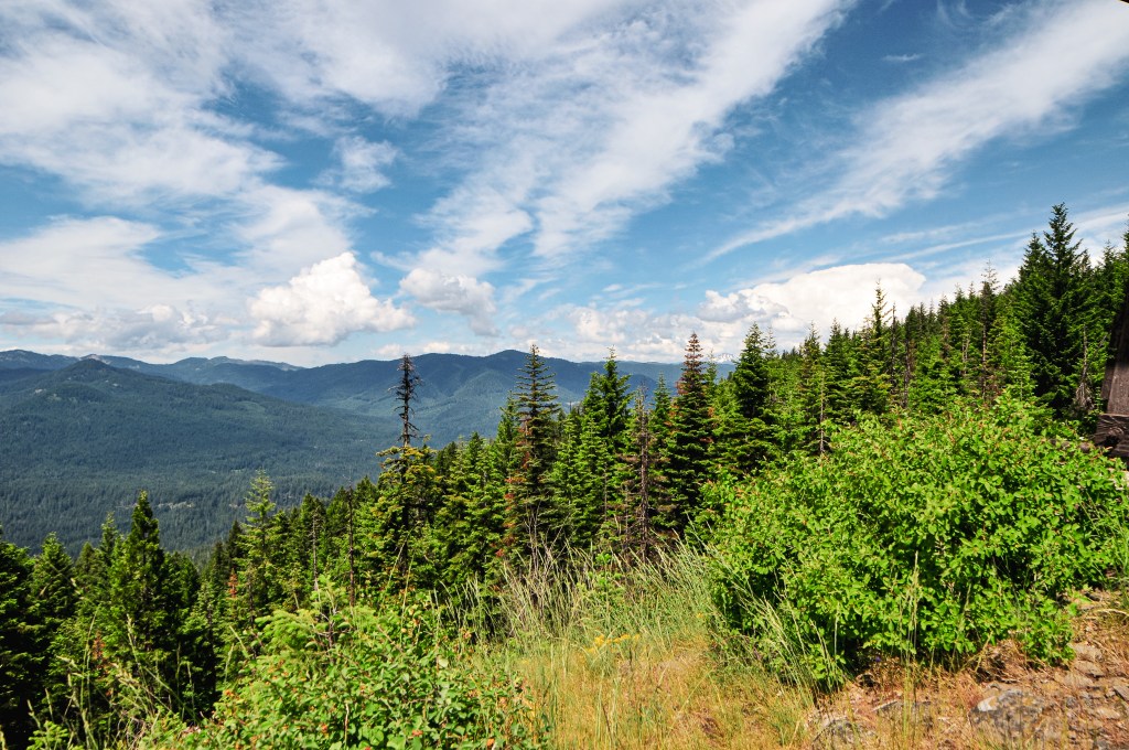
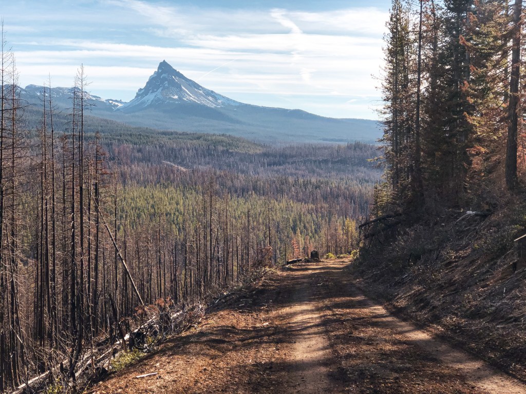
We still had one more night of our trip but I had fudged the reservation at Pickett Butte and only booked two nights. We brought all our gear to disperse camp for the final night. The trickiest part would be locating a good spot to camp. We got up early enough to pack up our things and clean up the fire lookout before locking up. Always try to leave it better than you found it. We headed back out to the paved CR-46 and turned right to head deeper into the forest. If you stay on CR-46 long enough it eventually turns into NF-28 once you have reached the forest boundary. We drove a little bit past our turn for Acker Rock to check out the South Umpqua Falls first. This is a popular swimming area in the summer when the water and current are not as strong. There were still a handful of people here trying to take advantage of the warm weekend in the shallower areas. We didn’t stay too long since the day was only getting warmer and we didn’t want to be hiking in the heat of the day if possible.
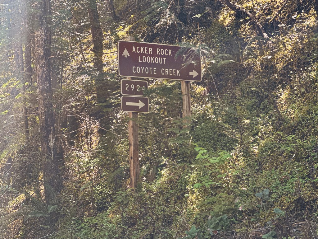
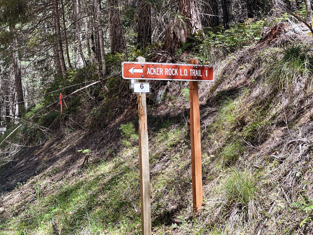
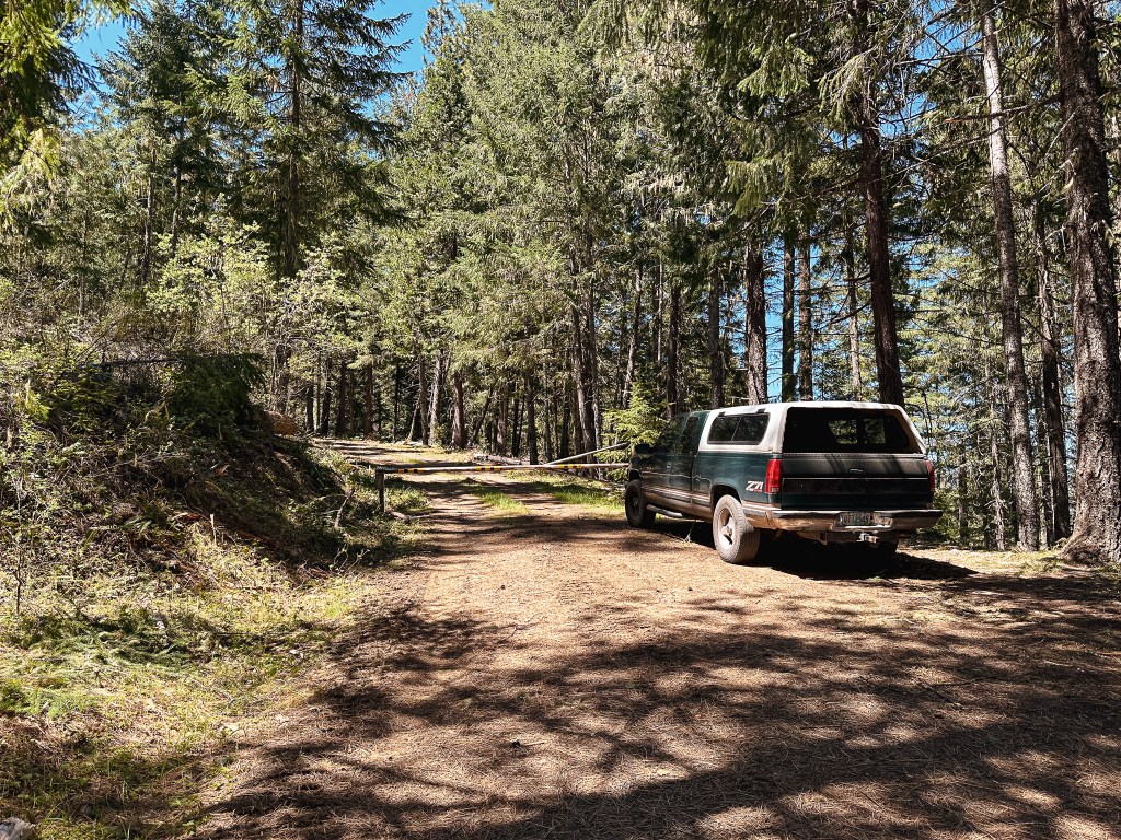


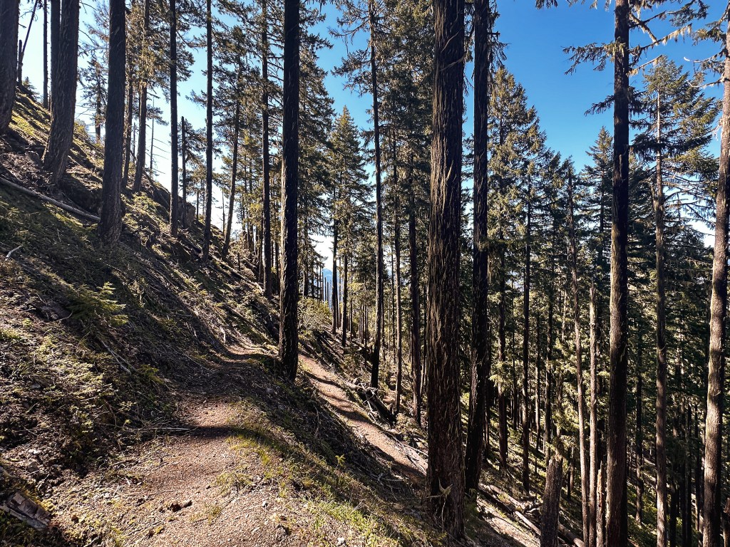

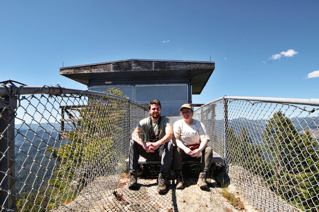
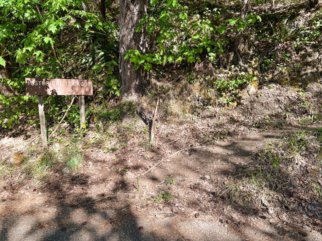
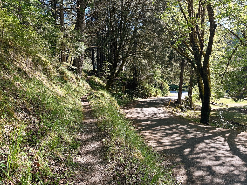
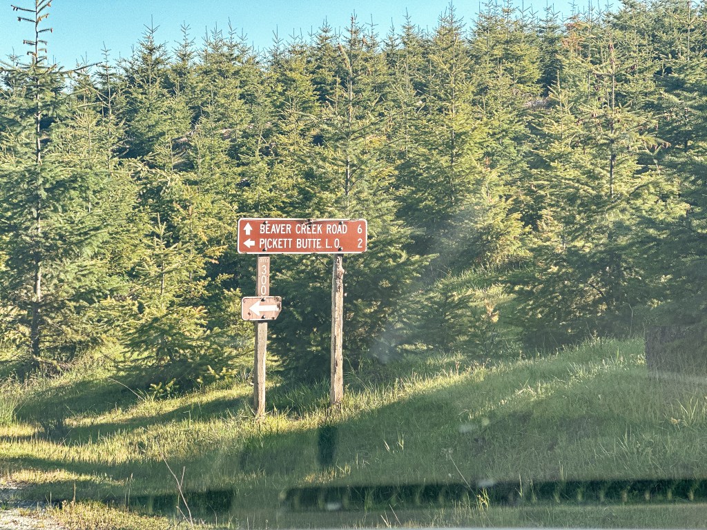
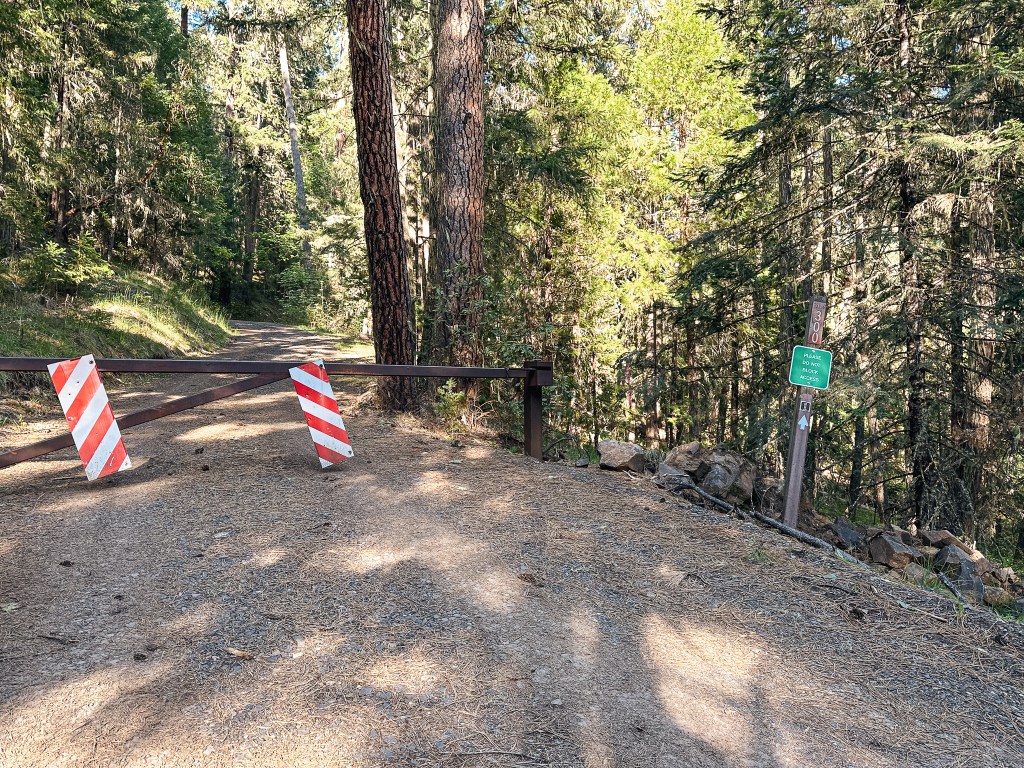
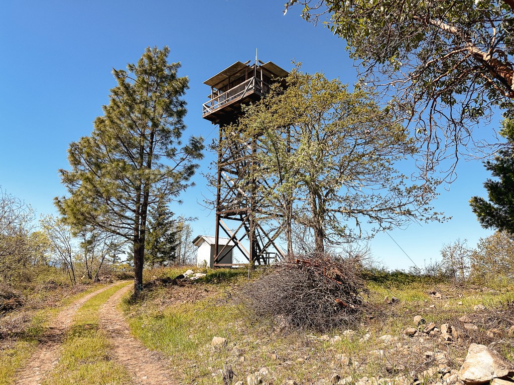
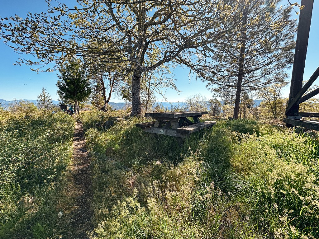
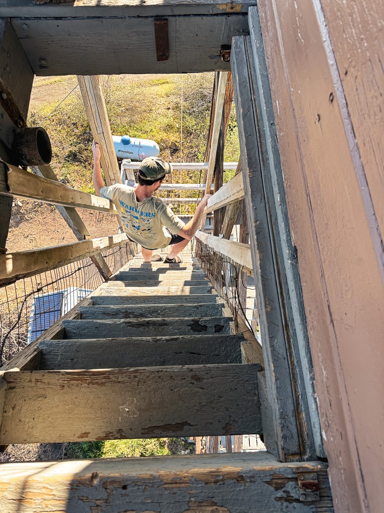
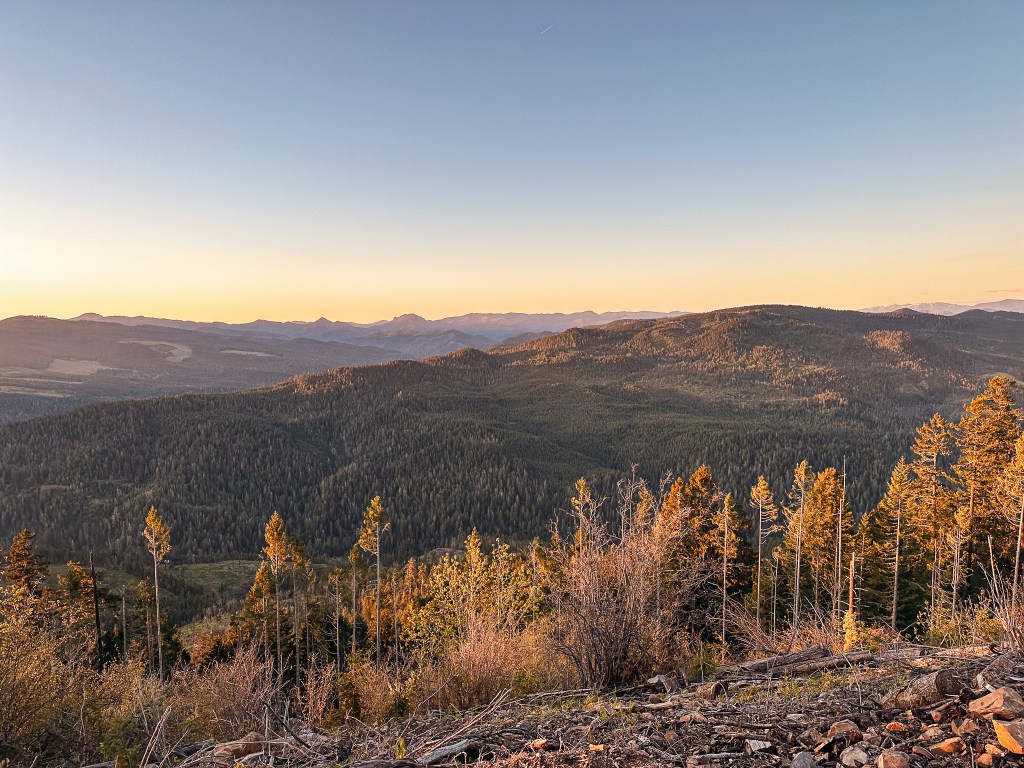
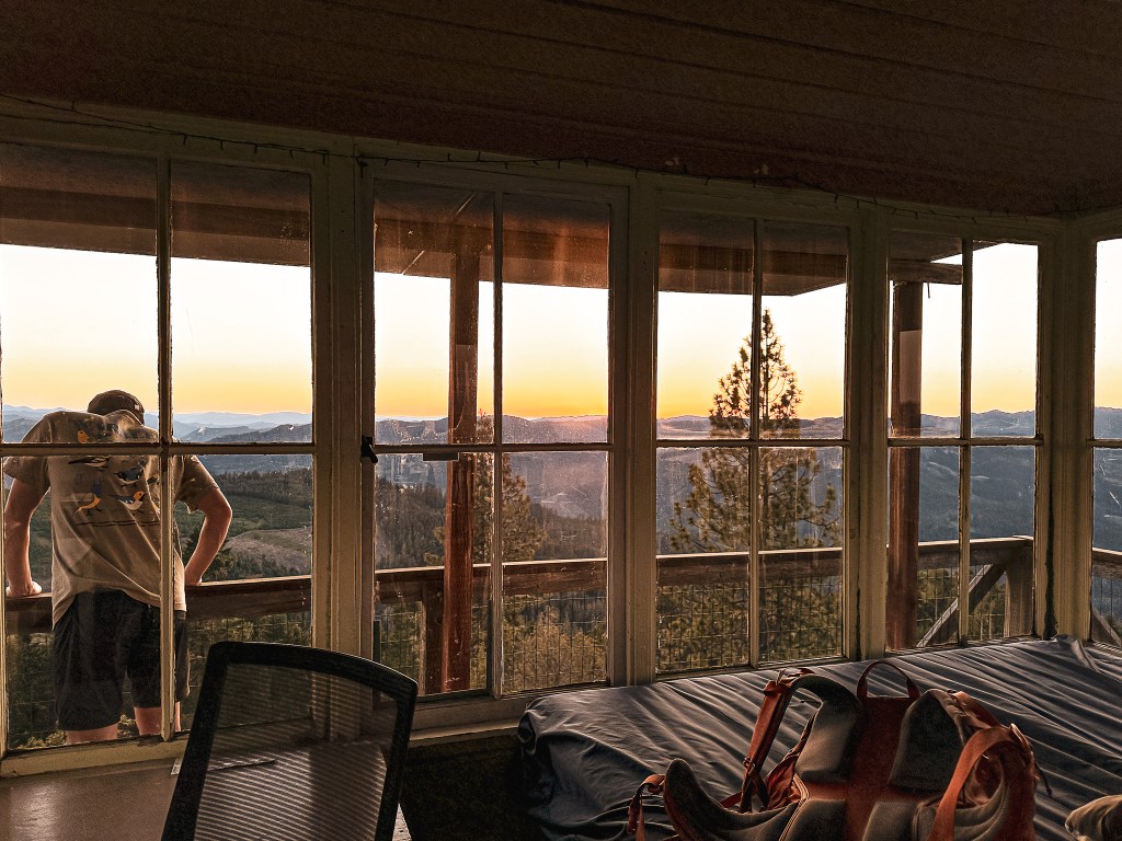
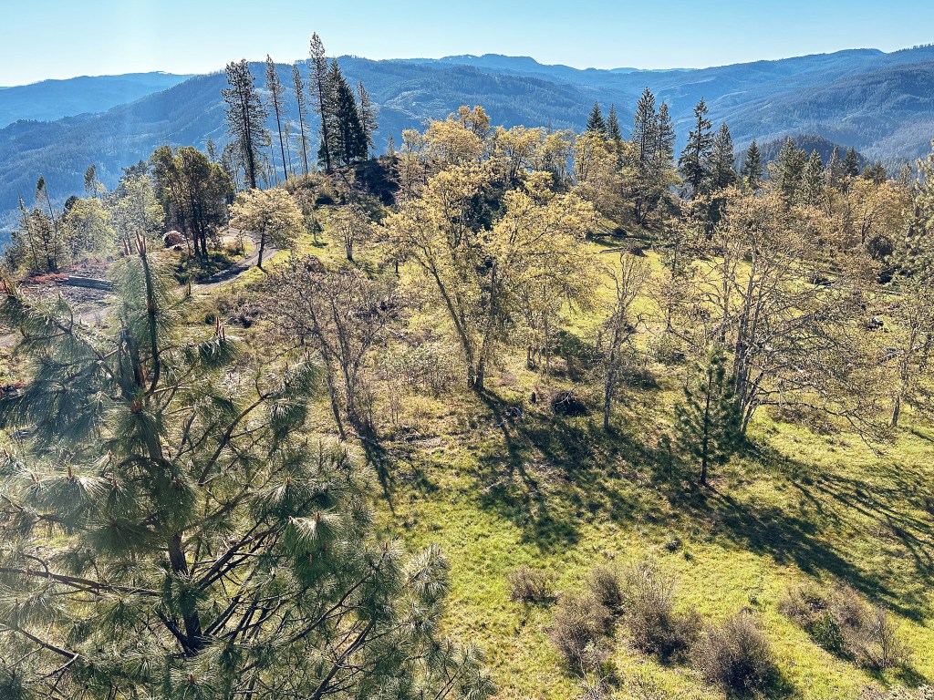
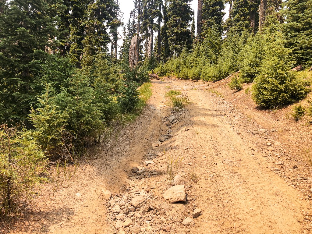
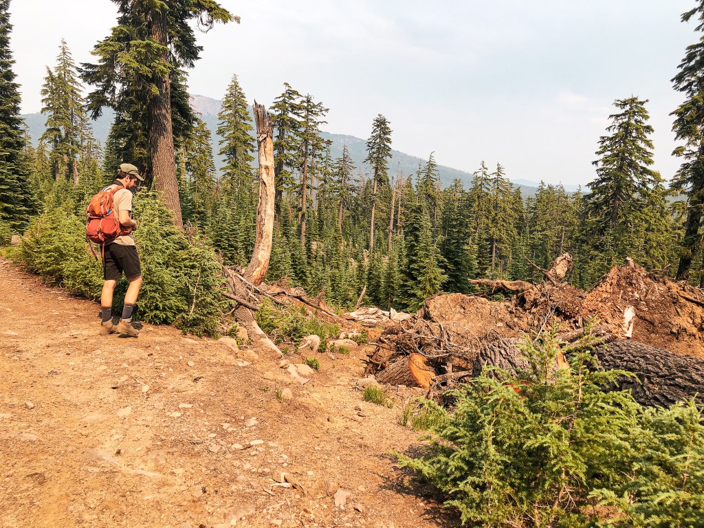
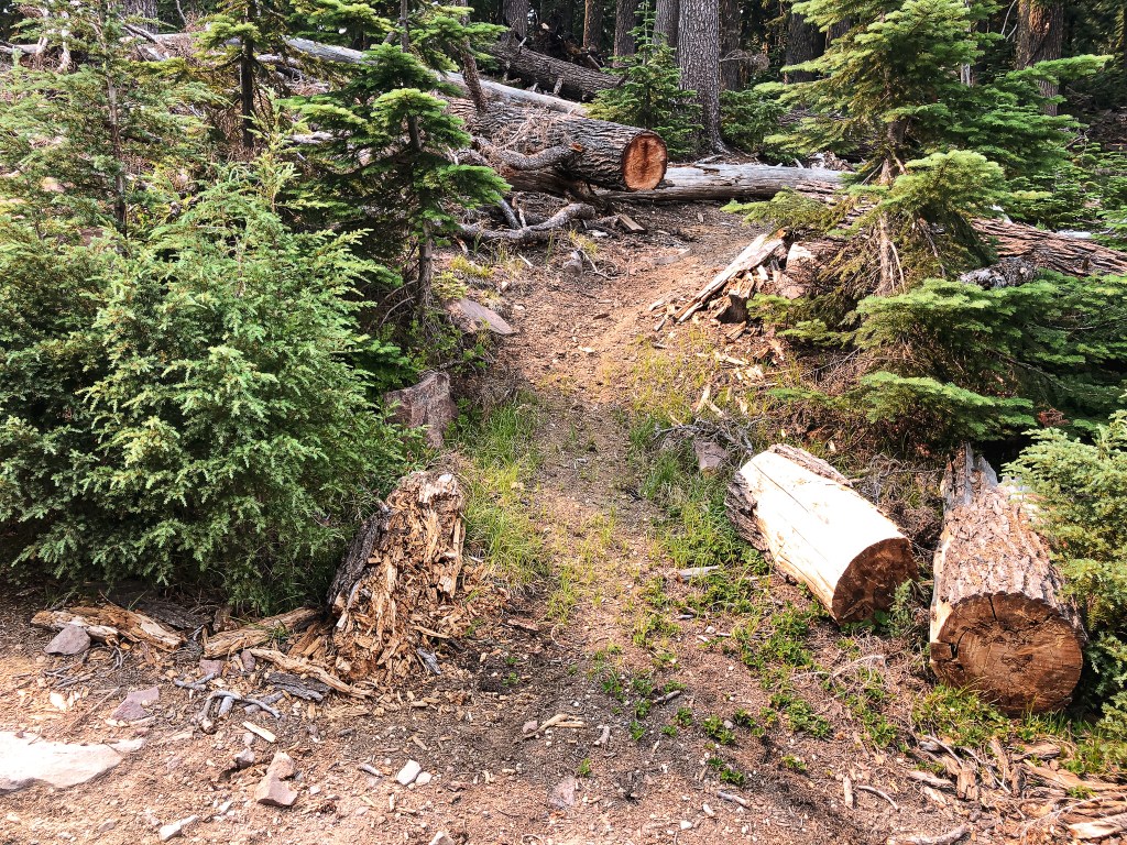
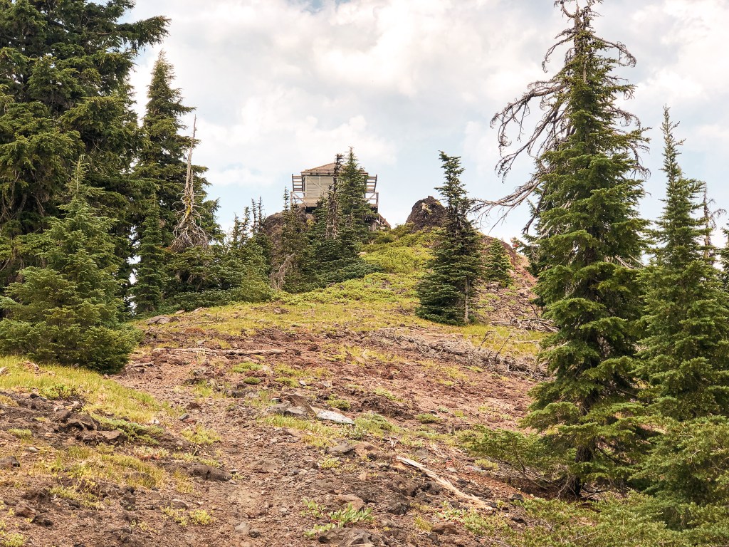
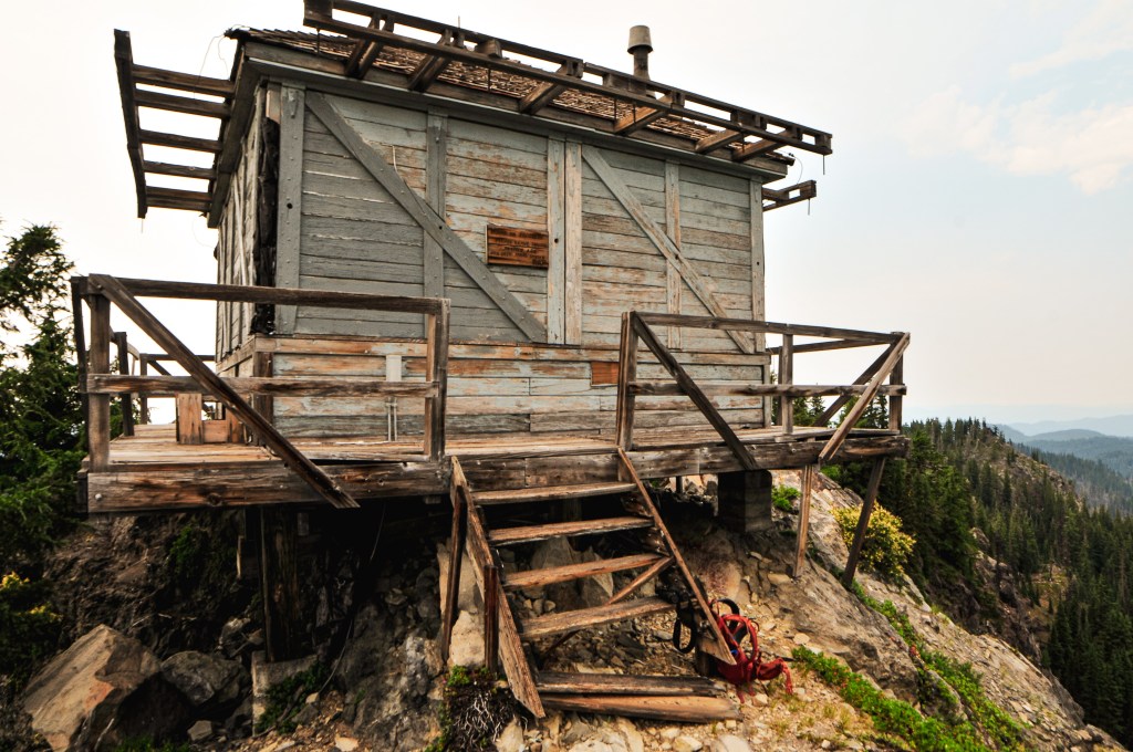
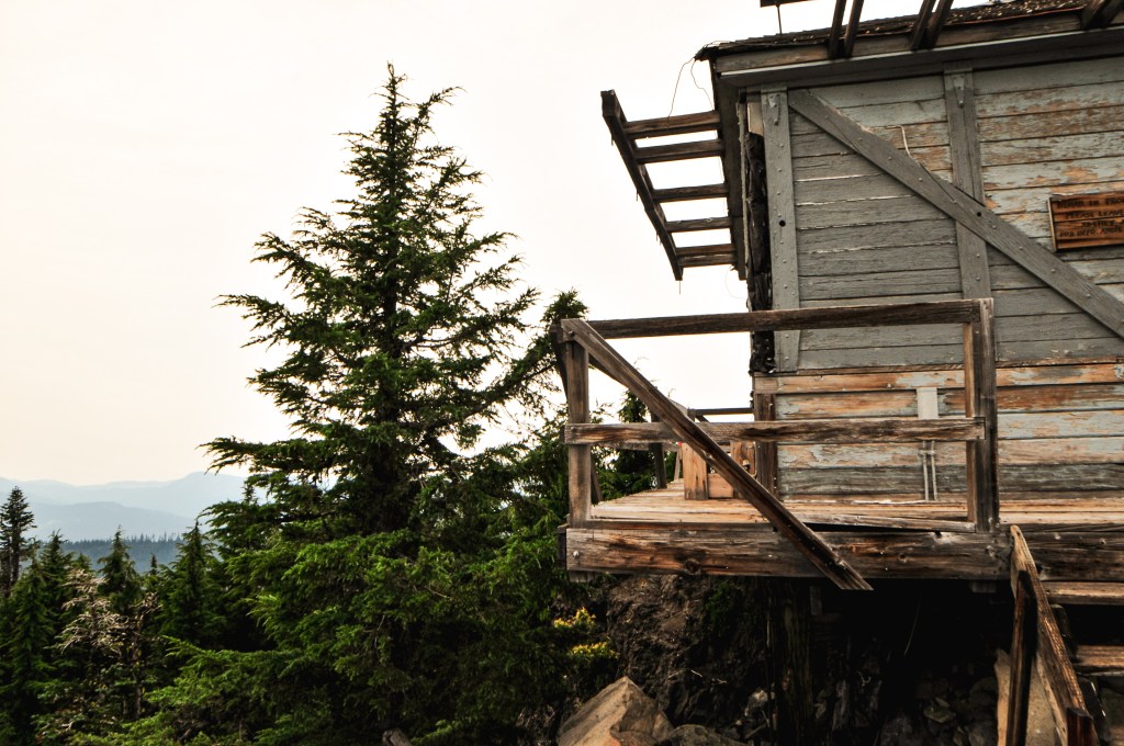
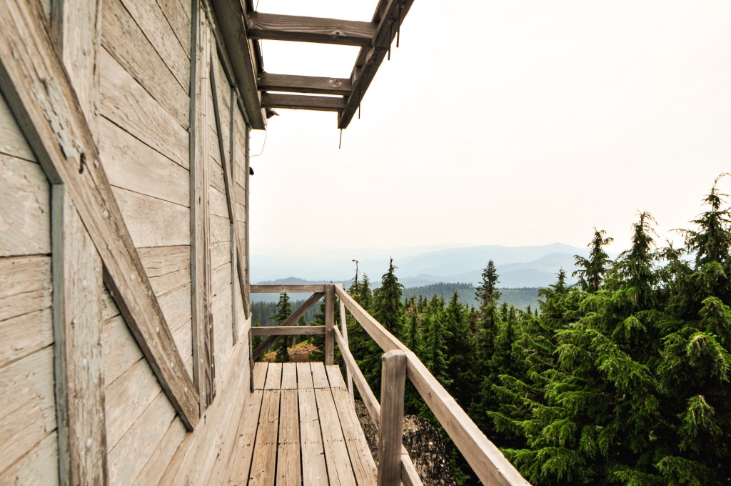
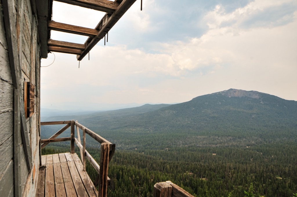
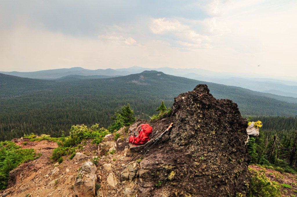
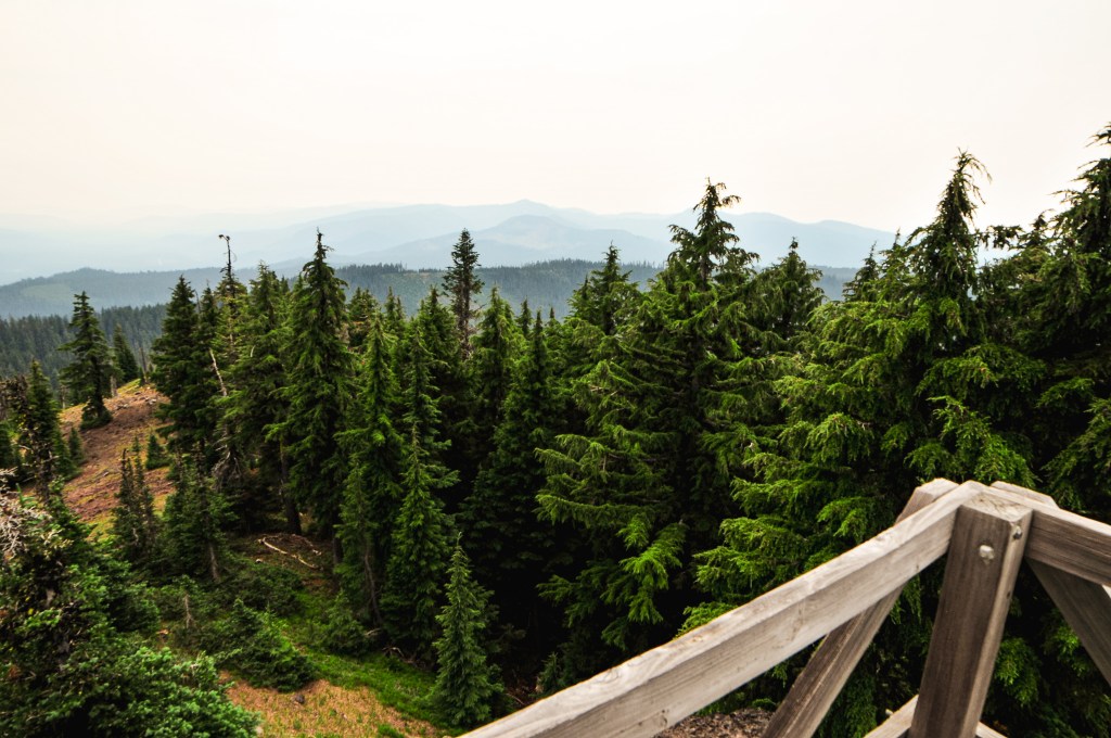
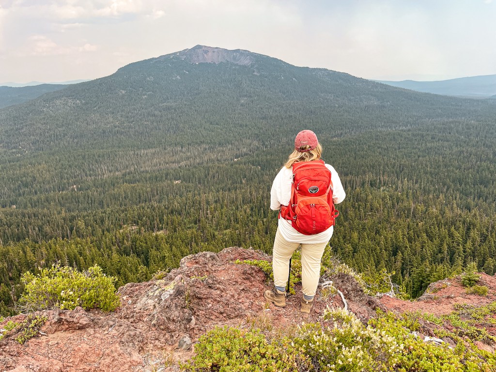
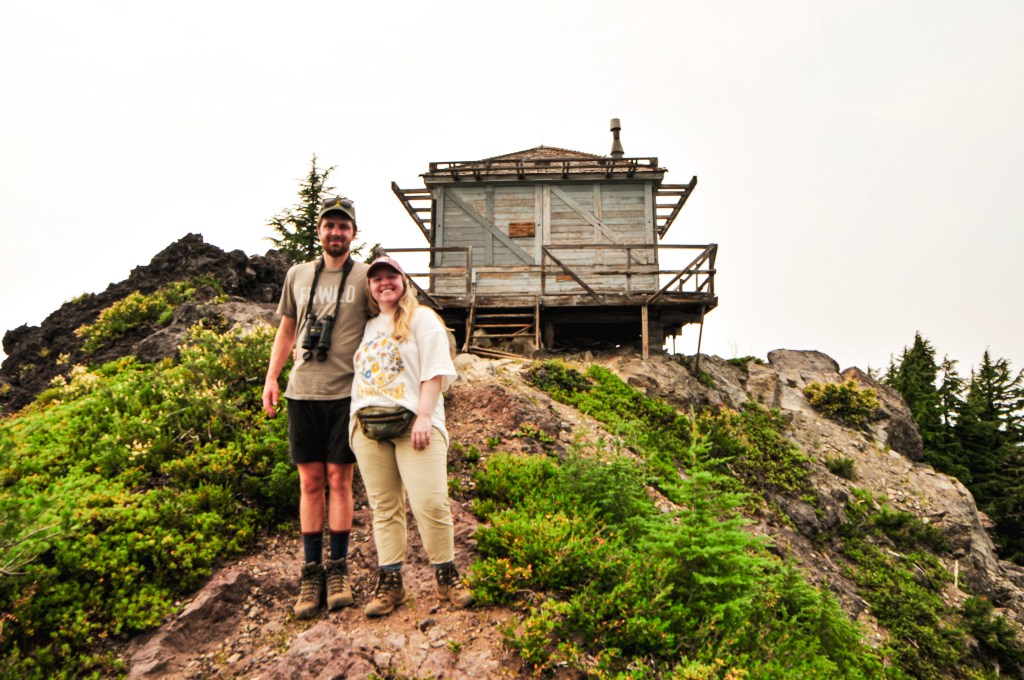
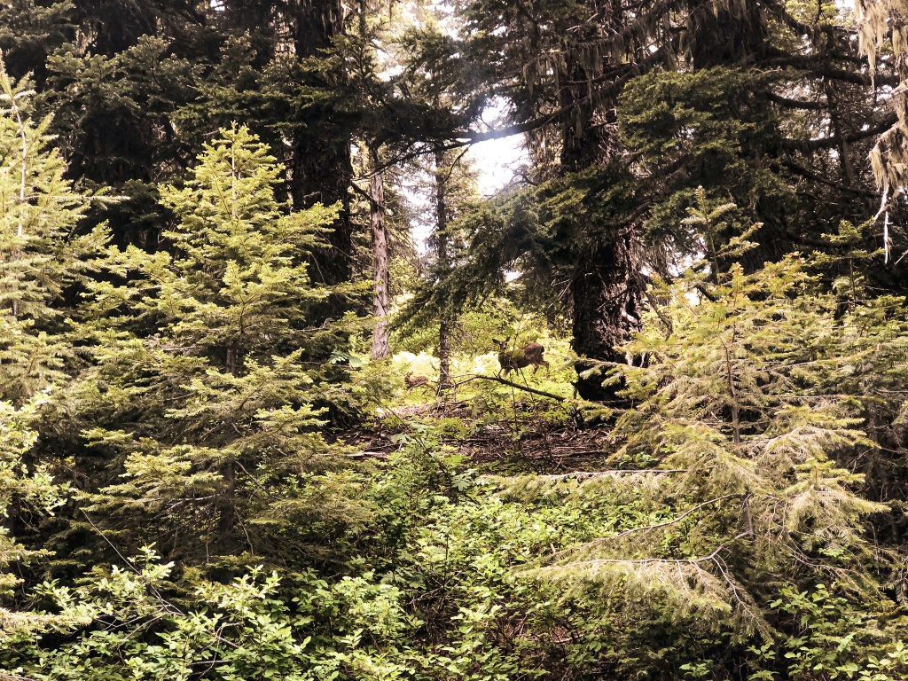
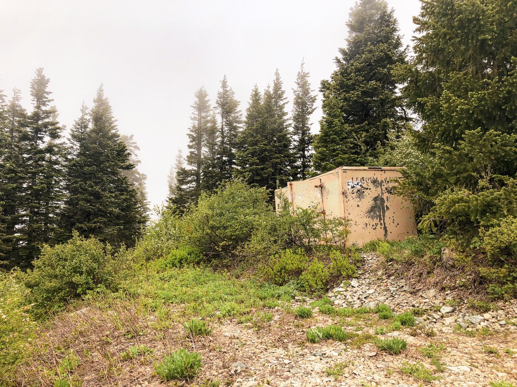
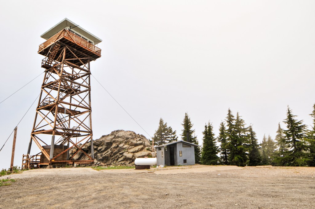
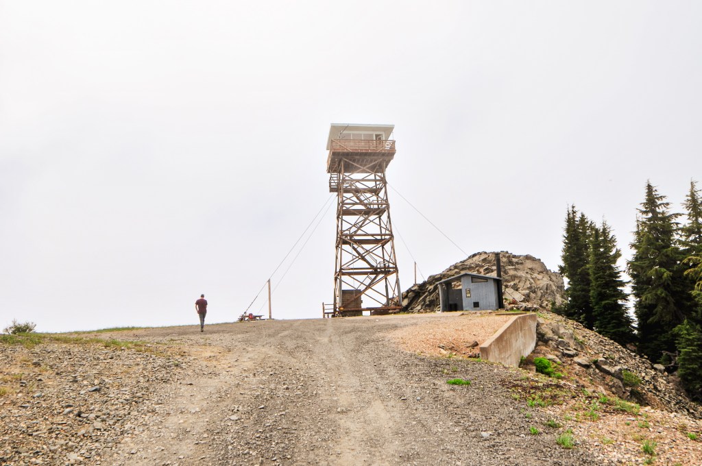
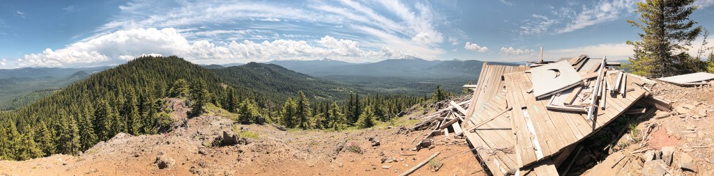
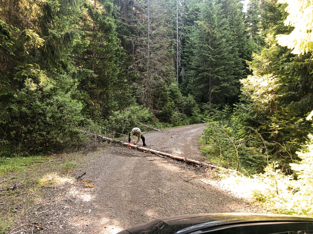
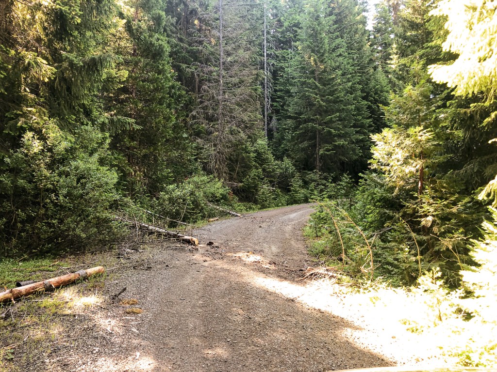
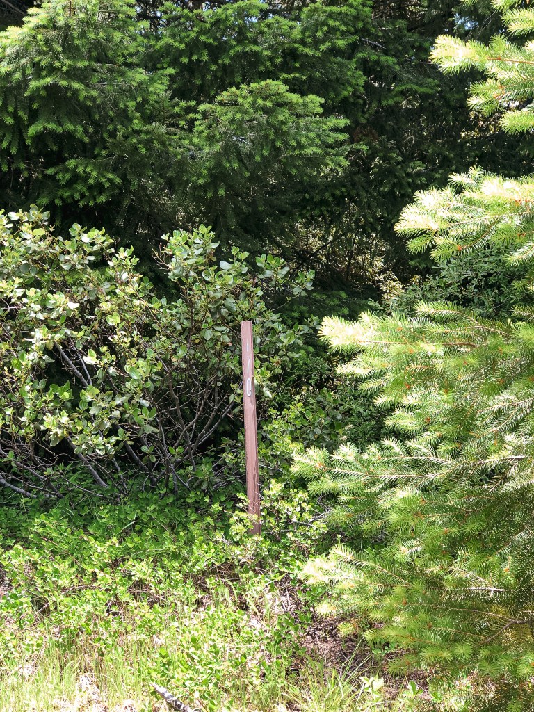
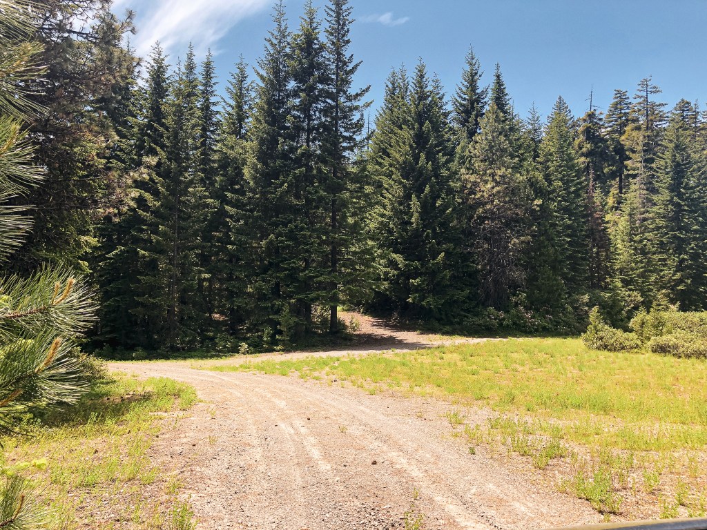
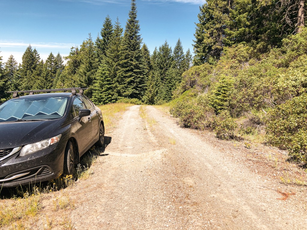
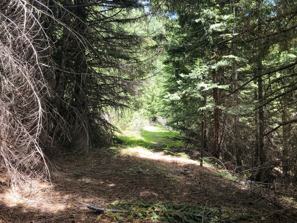
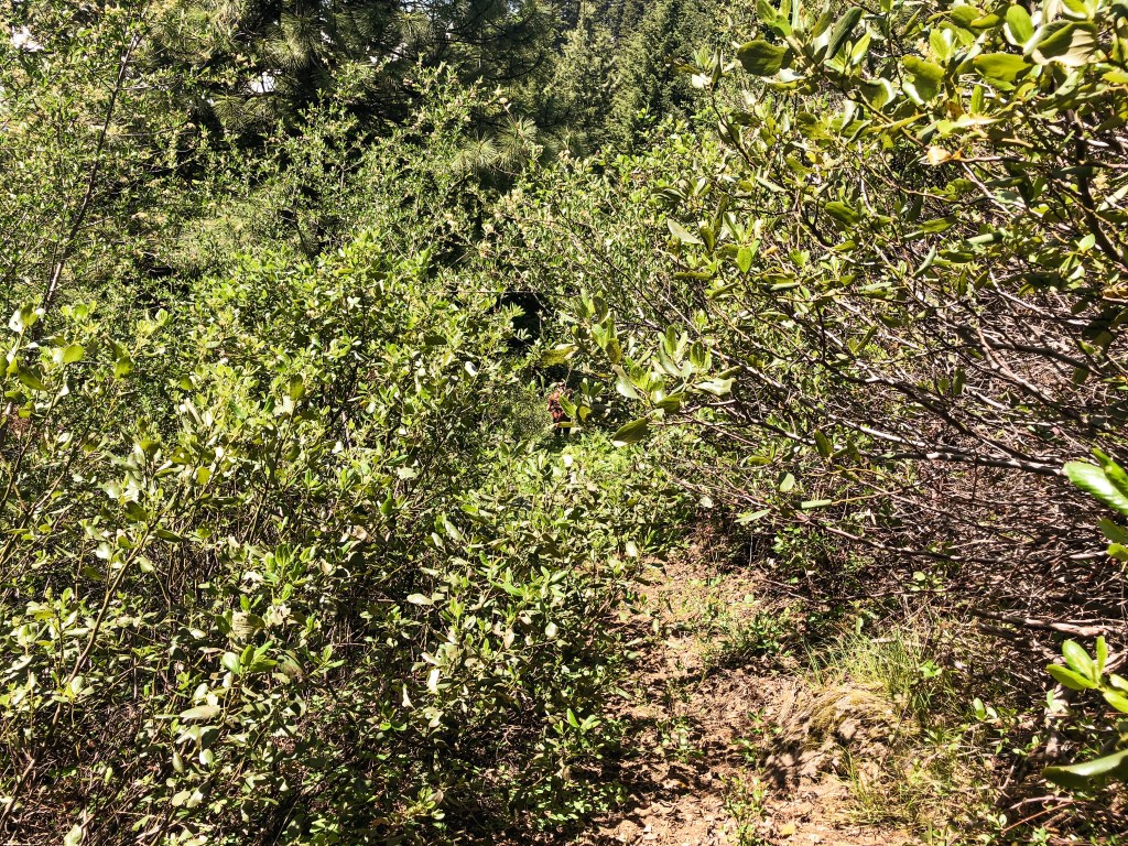
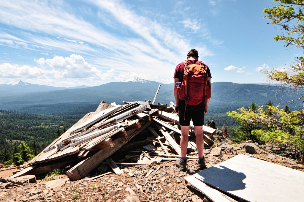
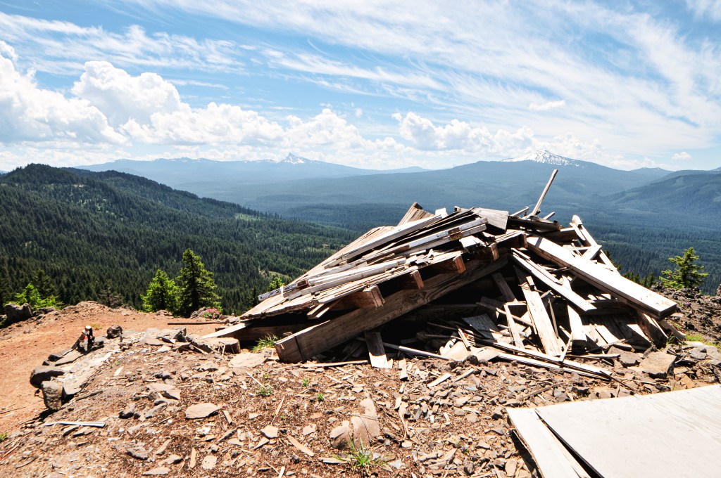
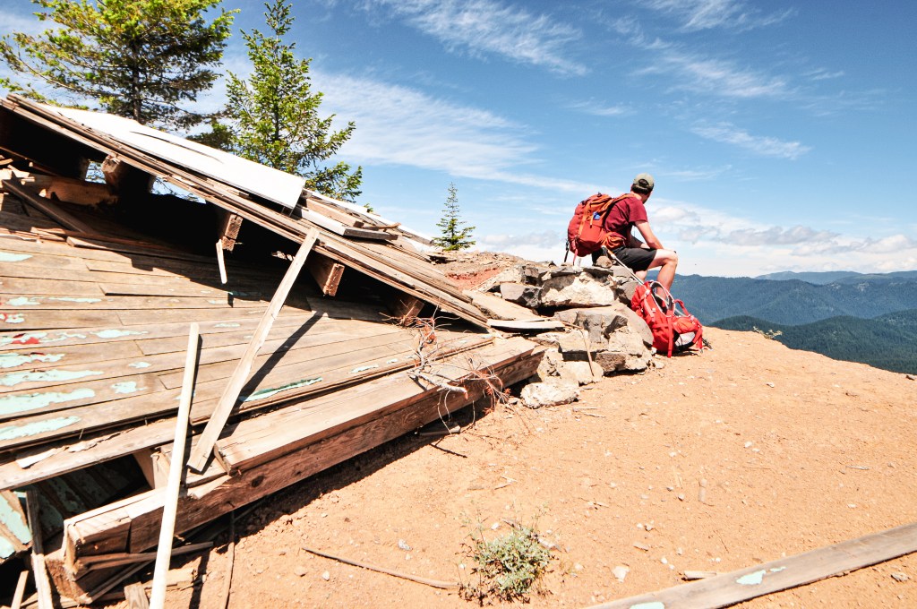
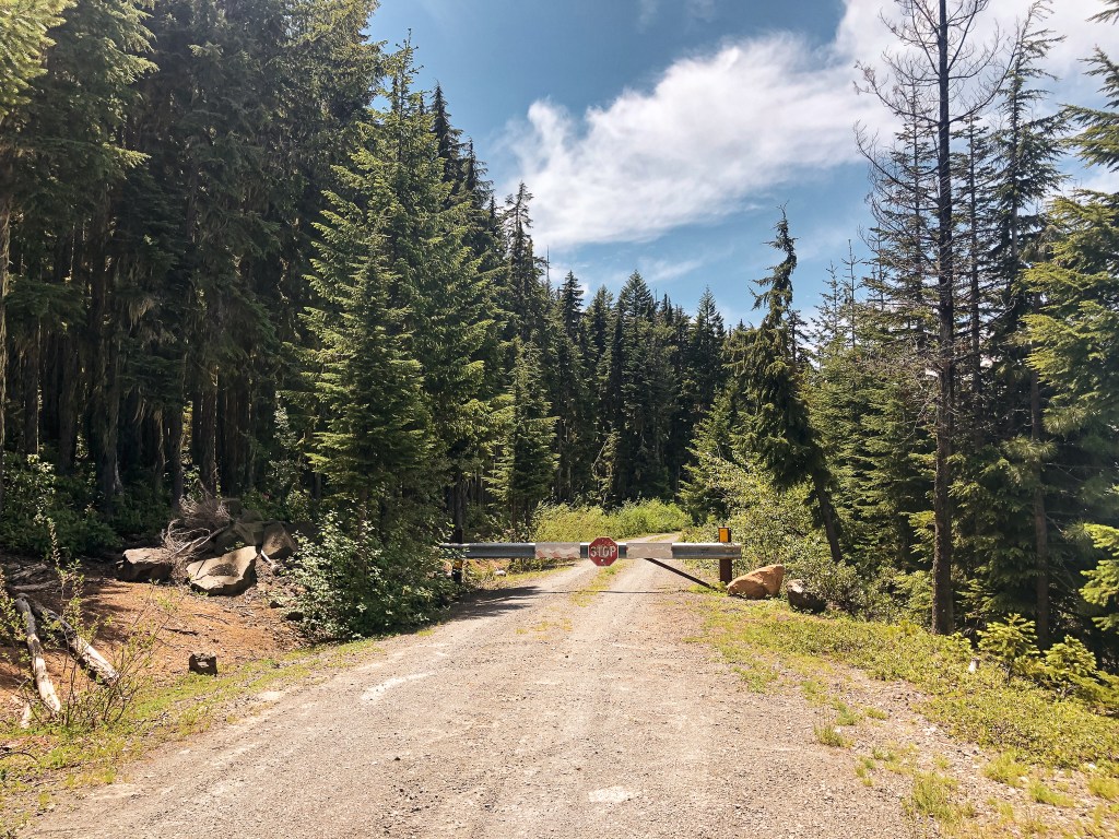
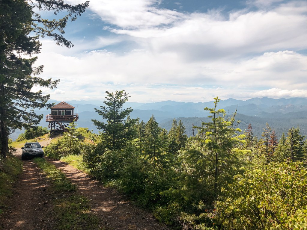
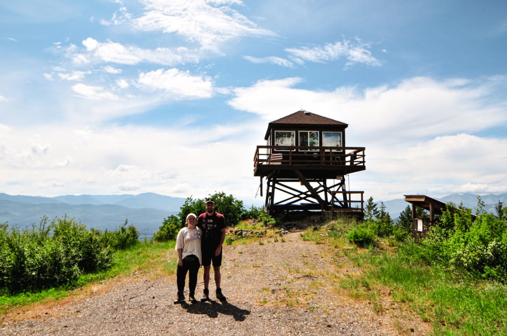
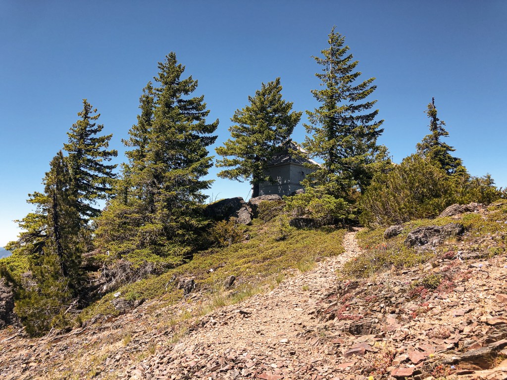
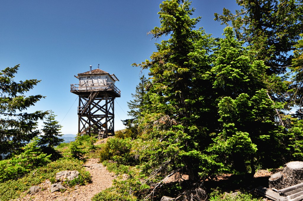
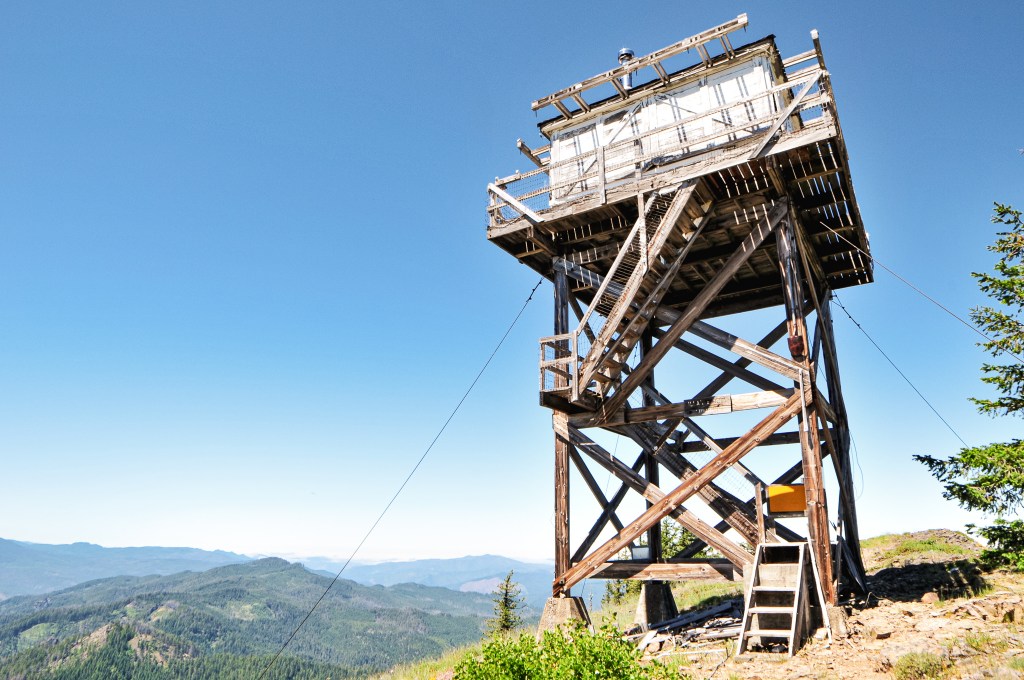
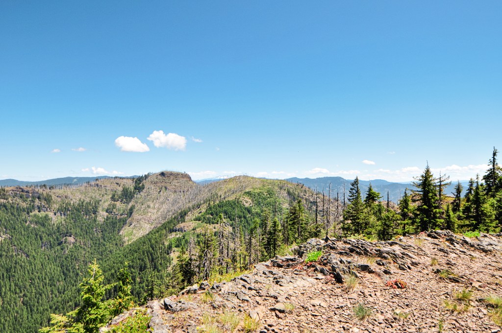
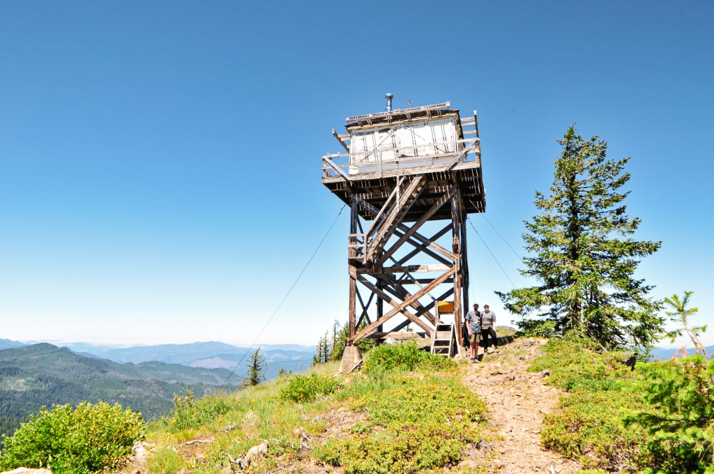
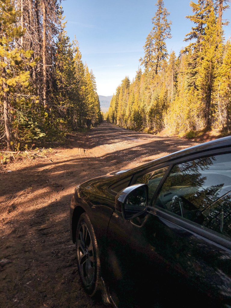
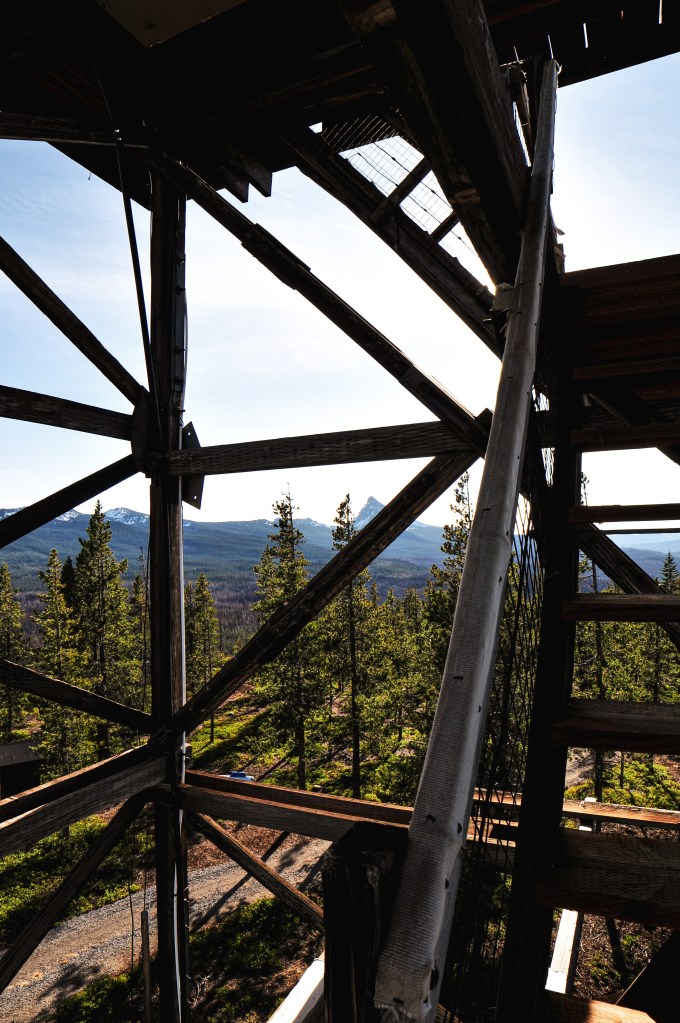
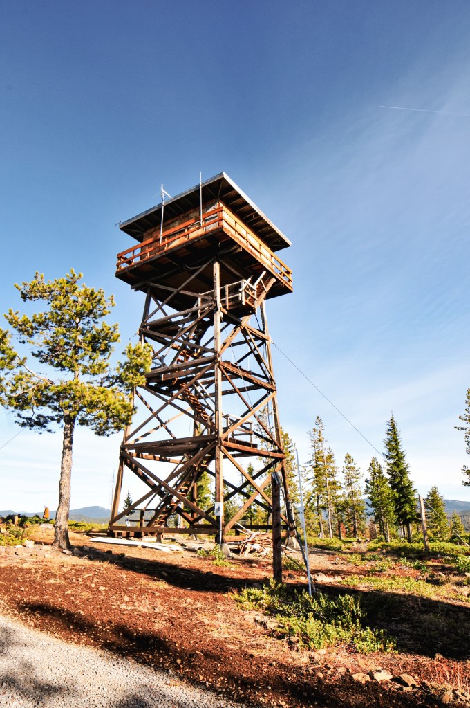
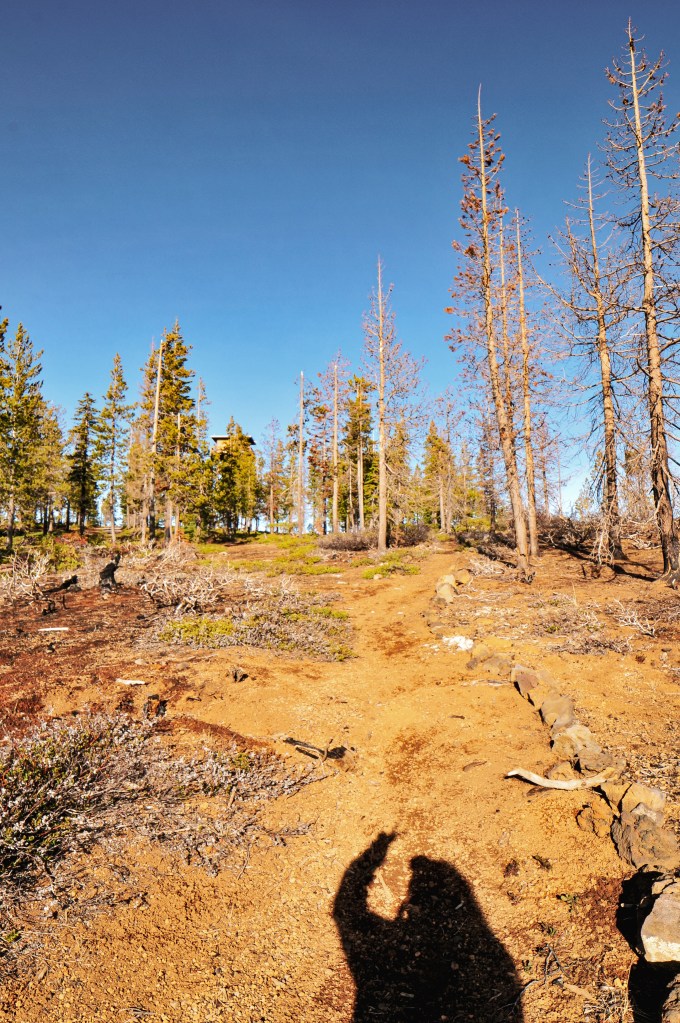
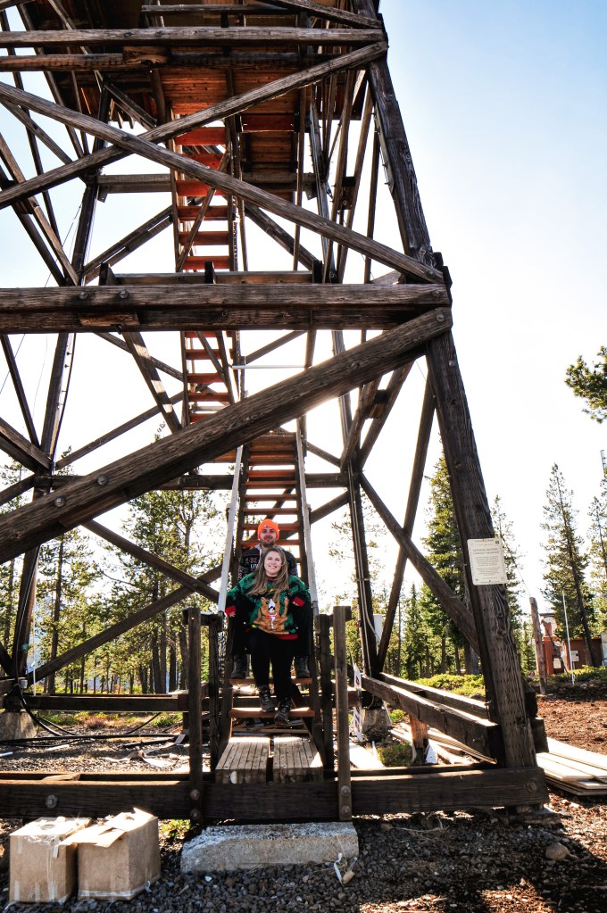
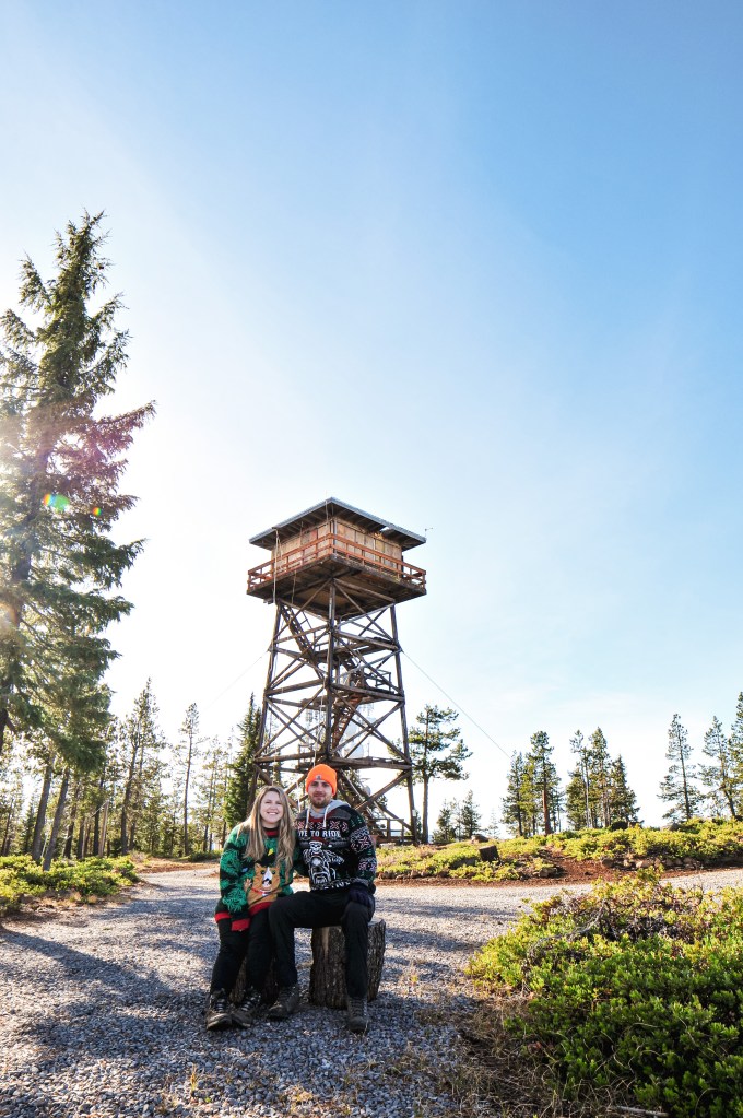
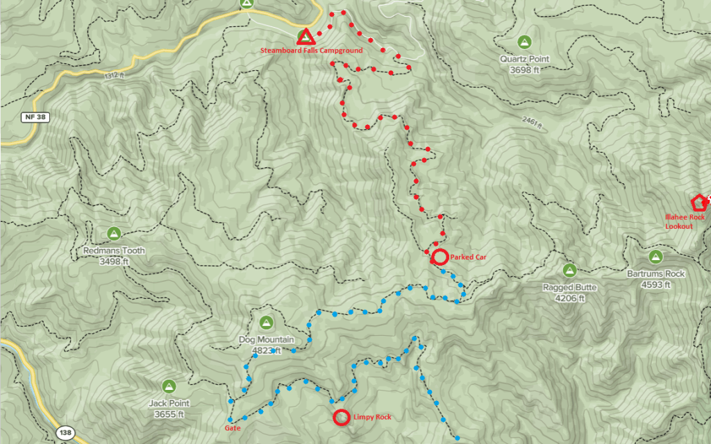
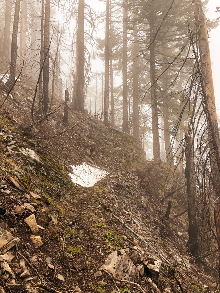
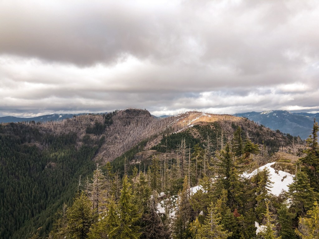
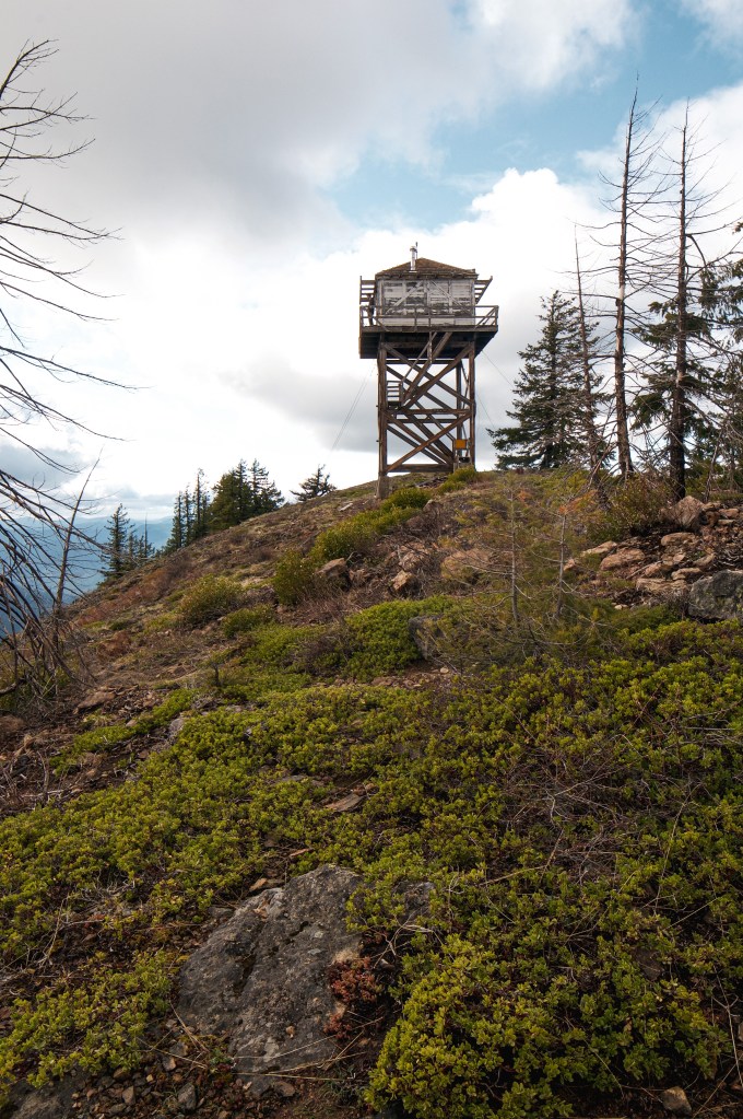
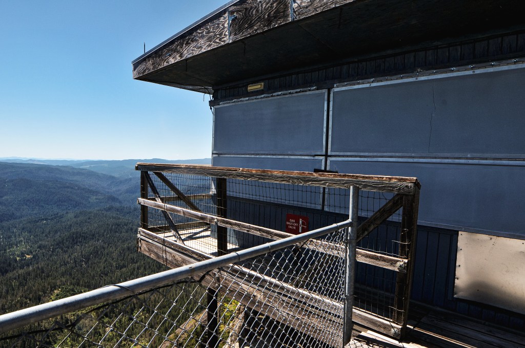
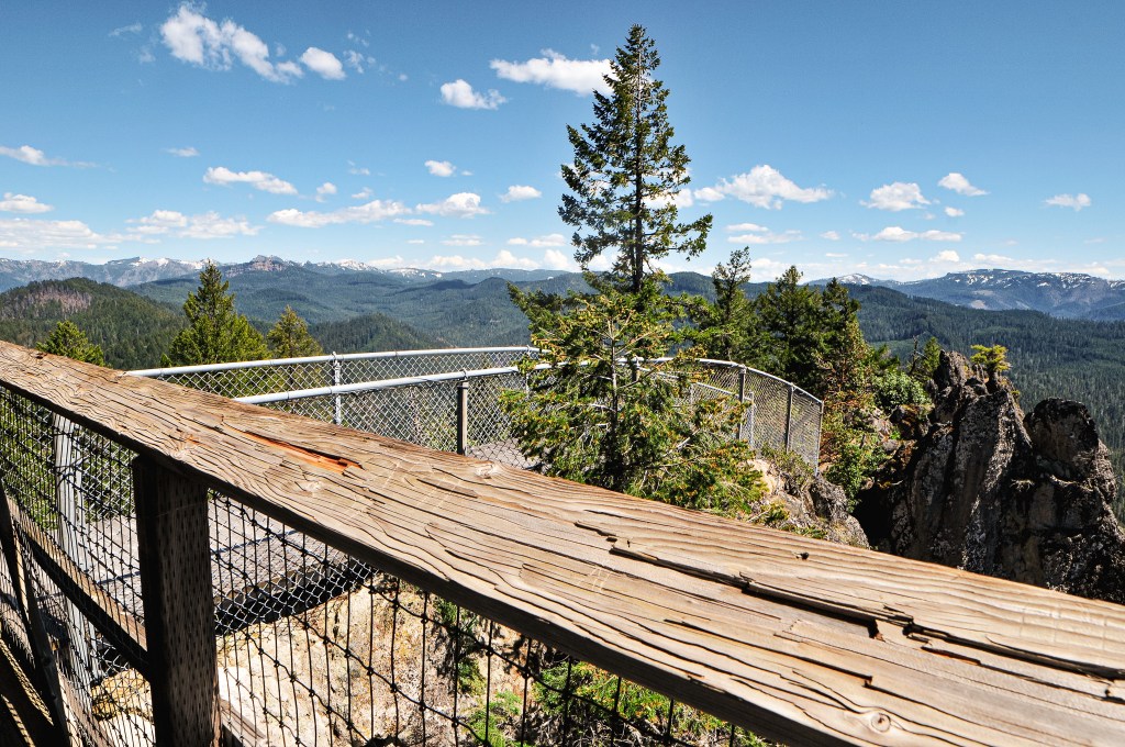
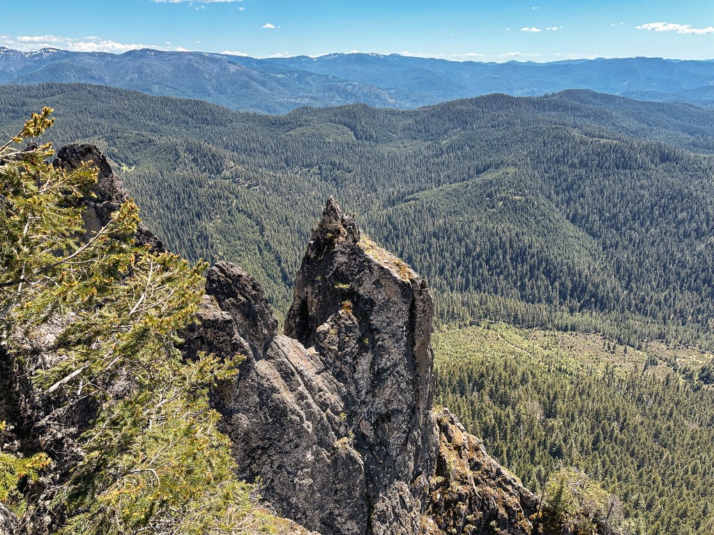
We back tracked a bit to cross the South Umpqua River on NF-29 and followed this to NF-2838 off to the left. We stayed on NF-2838 until we reached the gated NF-950 where the road walking would begin. There were a couple signs for Acker Rock along this route that made it easy to navigate. This is a rentable fire lookout as well, but the season is much shorter and it does not open until August 1st. We decided to visit outside of the rental season since it’s directly on the ground and would make it hard to visit without disturbing the renters. There was one other car parked near the gate when we arrived and we could only assume they were at the lookout. If you are renting, you should get a code to unlock the gate to drive closer. Though there is still a short but steep 0.4 mile hike to the fire lookout to be aware of. We packed a lunch to have at the lookout and began our road walk. It’s fairly straight forward. We followed the road until it dead ends in a parking/turn around area. From there, it turns into more of a trail that switchbacks up the side of the ridge. You will pass the exposed composting toilet on your way up and hope that no one is using it at the time of your visit (or hope that no comes up while you are using it). There were some smaller downed trees we had to navigate around at the start of the trail, but I’d be surprised if someone hadn’t cleaned them up since our visit. There was no one else at the lookout when we arrived and we didn’t run into anyone along the road either. We speculated that maybe the vehicle was abandoned or they were wondering somewhere off trail. We eventually got our answer as we saw two guys rock climbing up the other side of the ridge. One of them came over to check out the lookout while we were having lunch and gave himself a scare when he didn’t hear us. We spent a good chunk of time hanging out at this lookout since the only thing left to do for the day was find a place to camp.
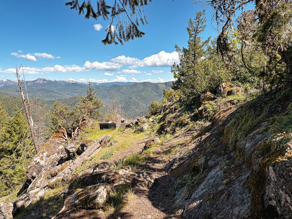


The Strava app calculated this hike at 3.08 miles RT with 1,025′ of elevation gain. You can assume the road is around 1-1/2 miles from the gate to the summit. We ended up camping off the side of a road in a grassy pull out for the night. We passed up a couple different official dispersed spots given their location or otherwise. Not all dispersed camp spots end up being what we want and are more about convenience for the night. There were a couple of campgrounds in the area, but we had passed on those as well.


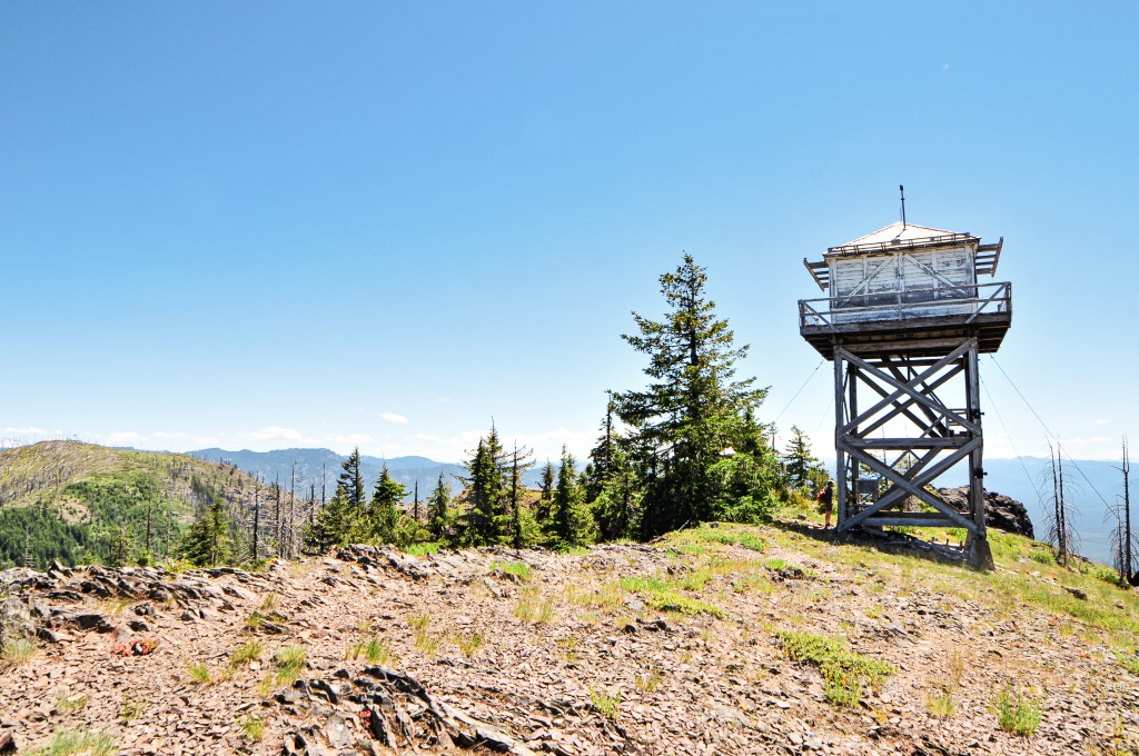
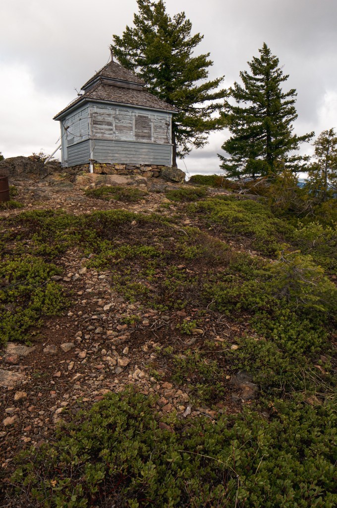
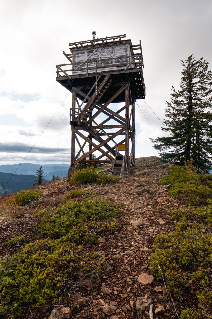
History.
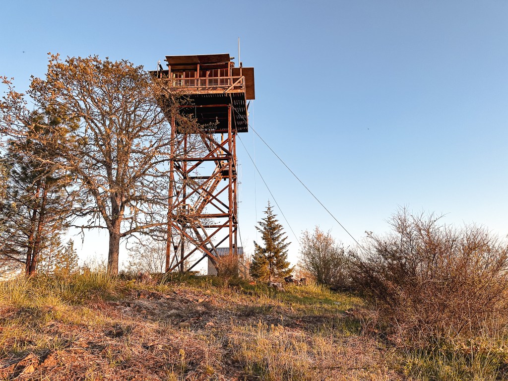
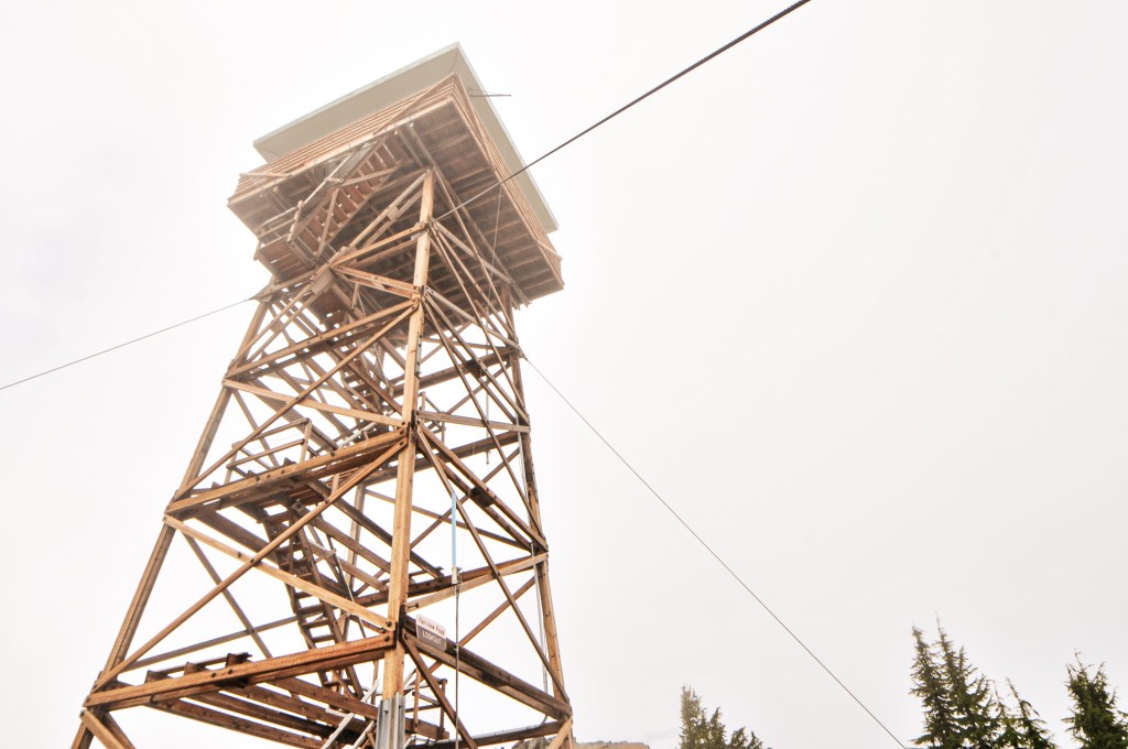
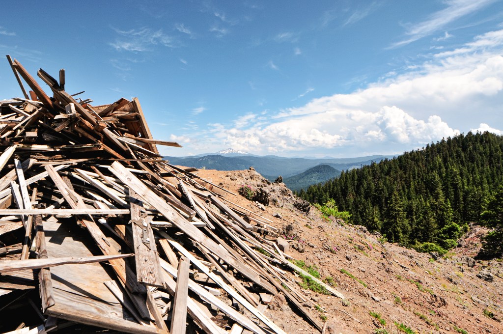
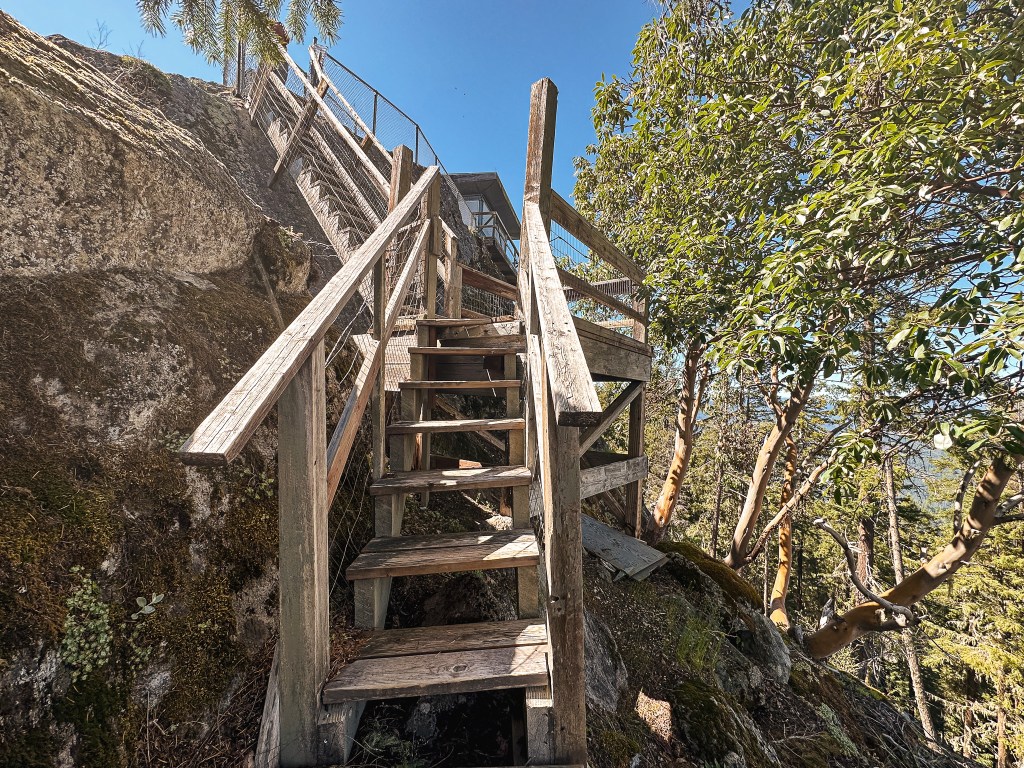
Acker Rock was first established as a fire lookout site in 1932-1934 when a 14×14 L-4 gable roofed ground cabin was built on the summit. At the time the lookout was accessible by driving 21 miles outside of Tiller and then hiking an additional 3 miles. It was noted as possibly being used as a lookout point prior to this but no structure was utilized. It was replaced in 1963-1964 by the current R-6 flat cab structure and was staffed until at least the late 1980’s. Given the precarious location of the lookout, replacing the structure was no easy task and required helicopter assistance. A news article from 1963 stated “the lookout house appeared to be supported on one side by rock and on the other by little more than imagination”. In 2006, the roof was replaced and needed repairs were completed before it was added to the current rental program.