Location.
Newberry National Volcanic Monument; Deschutes National Forest
Status.
Active; Currently standing
Estimated drive time from Portland, OR.
3-hours
Date visited.
October 10, 2021
Elevation.
5,016′
National Historic Lookout Register.
US 508; OR 100


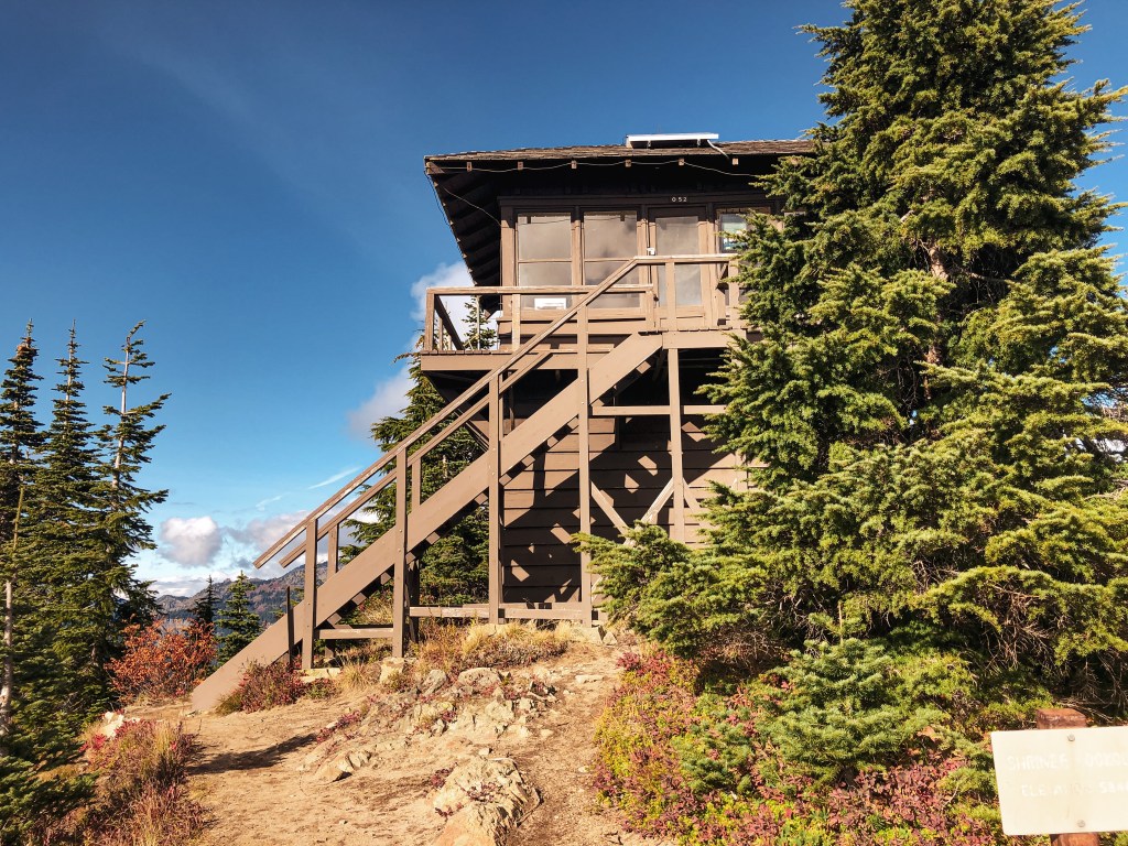
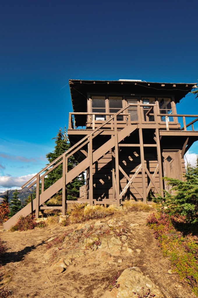
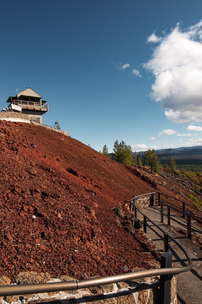
Trip Report.
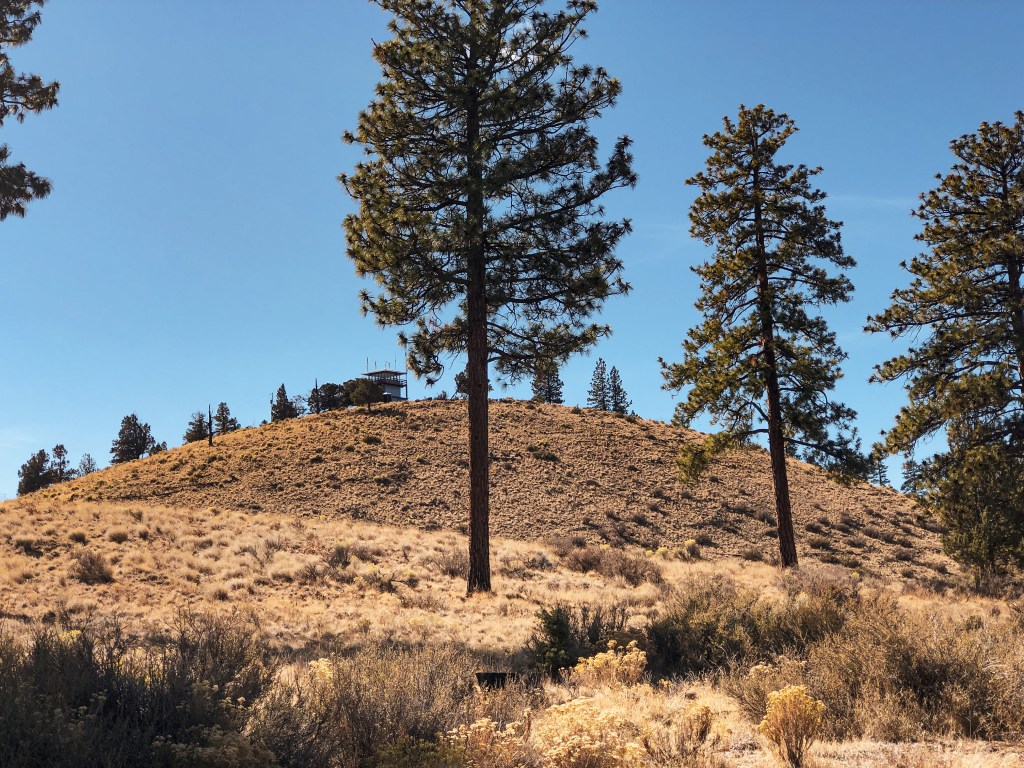
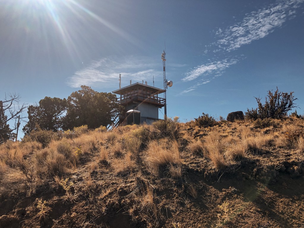
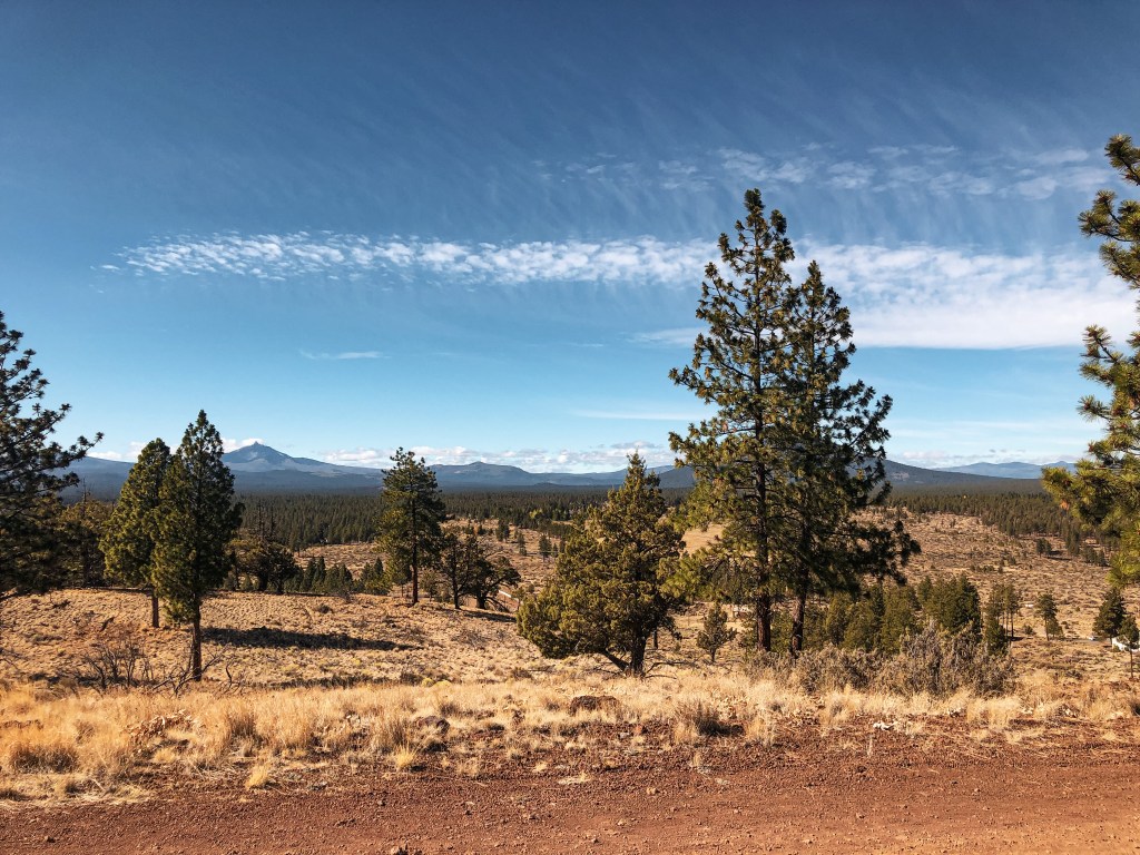
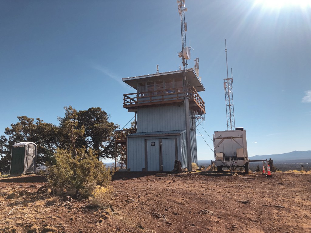
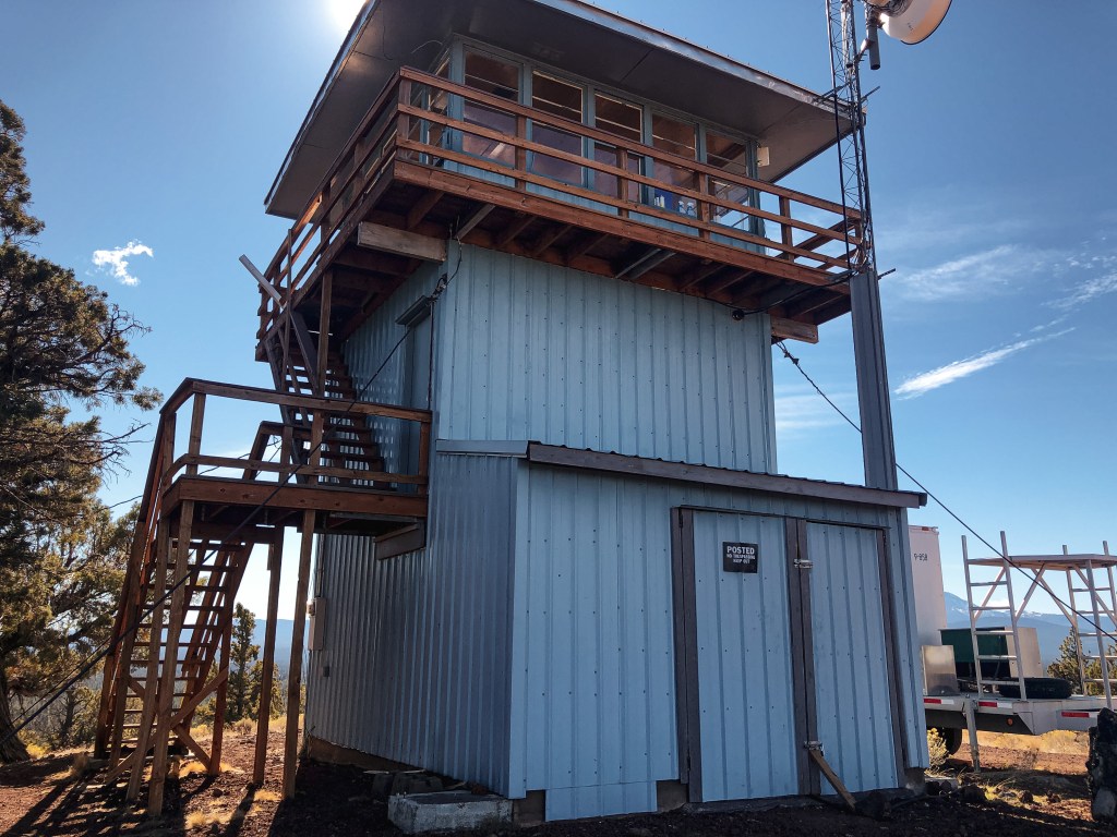
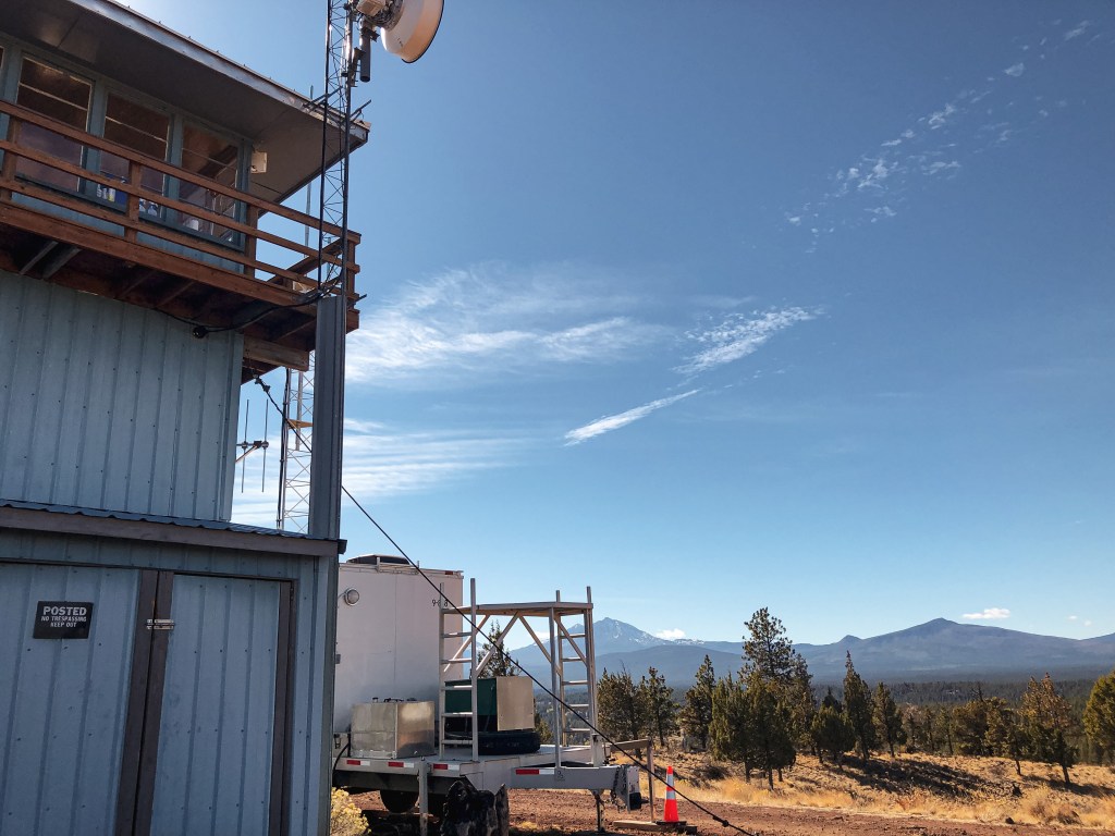
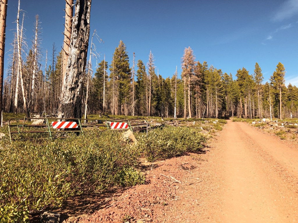
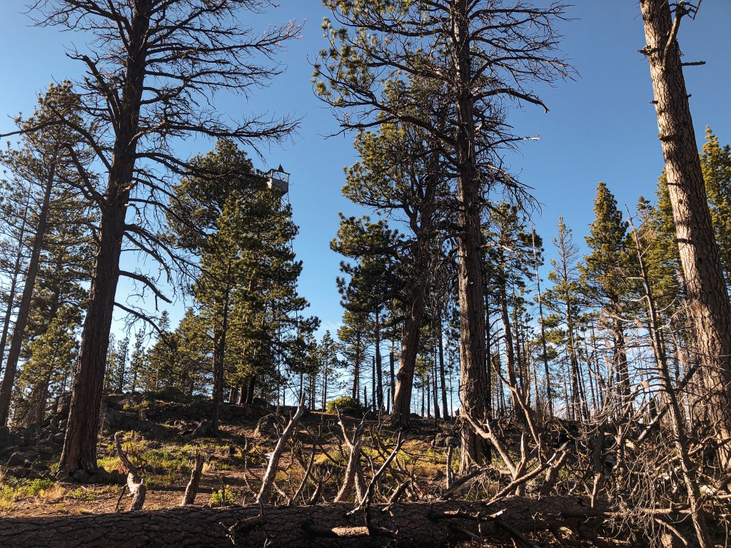
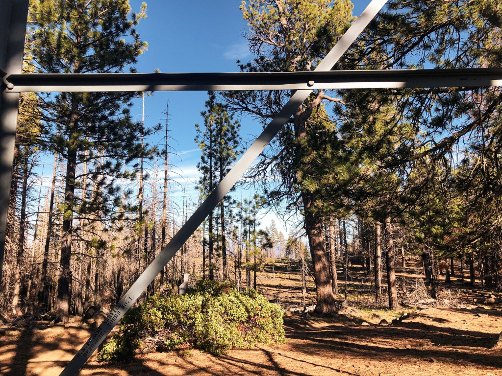
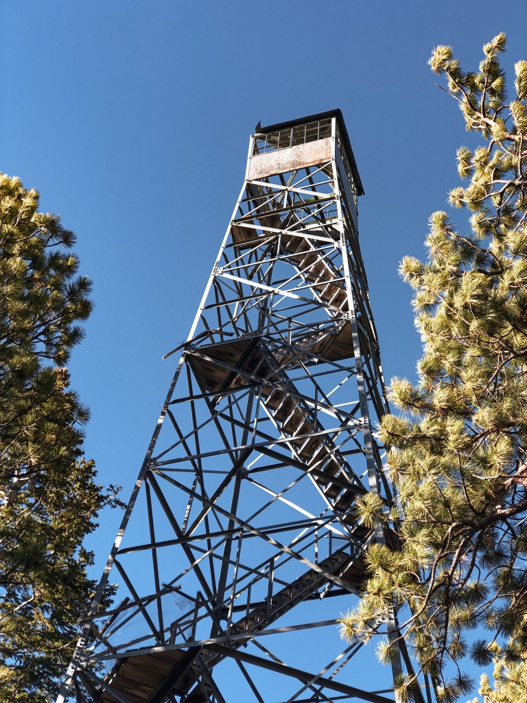
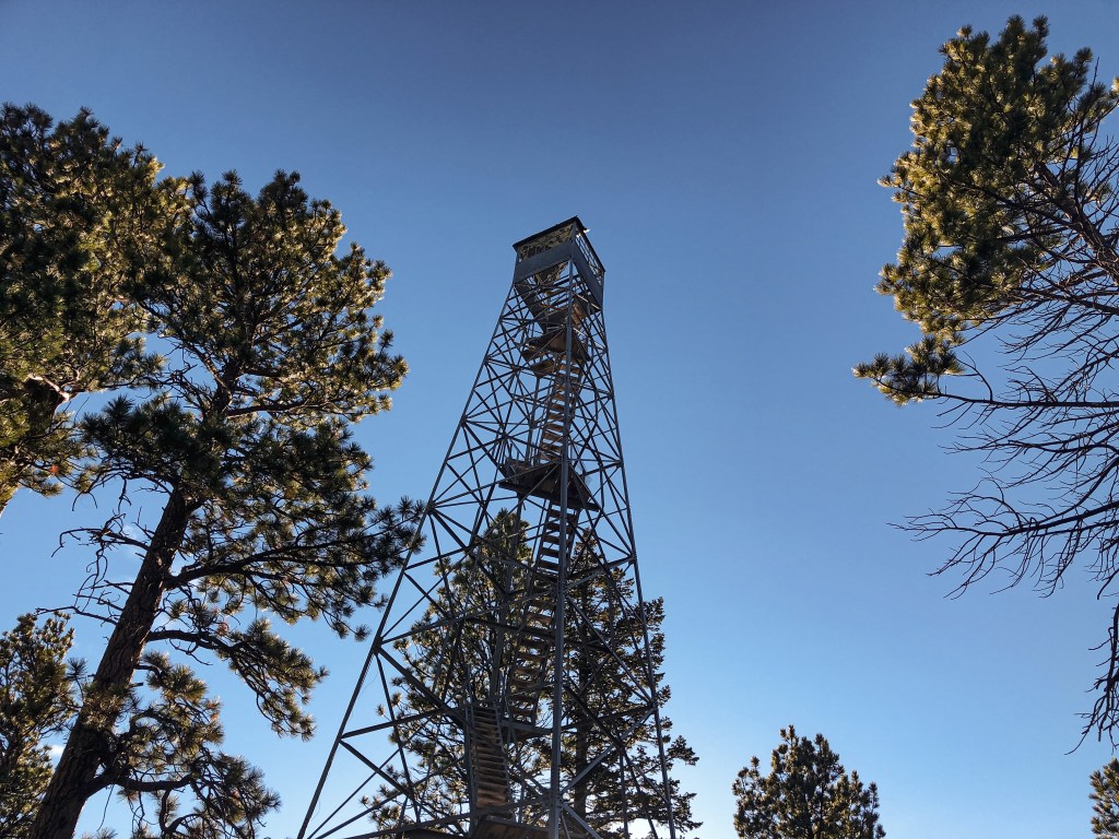
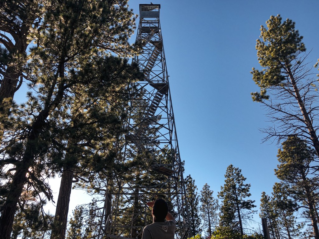
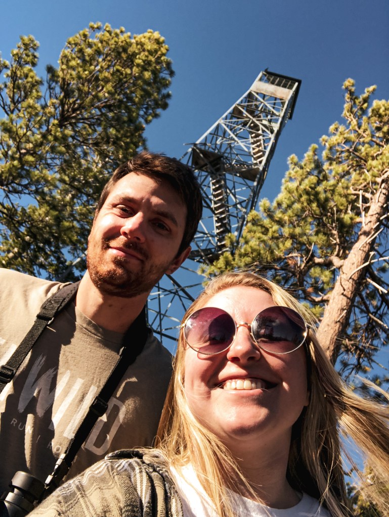
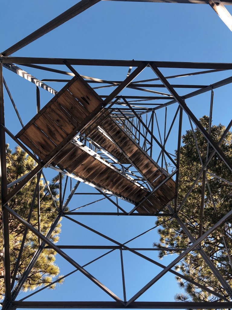
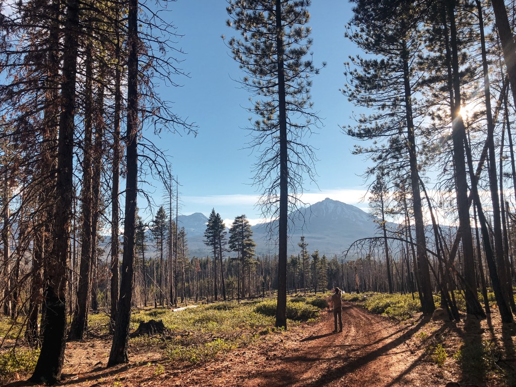
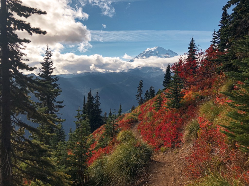
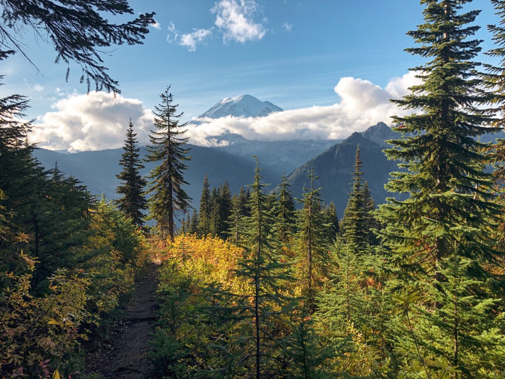
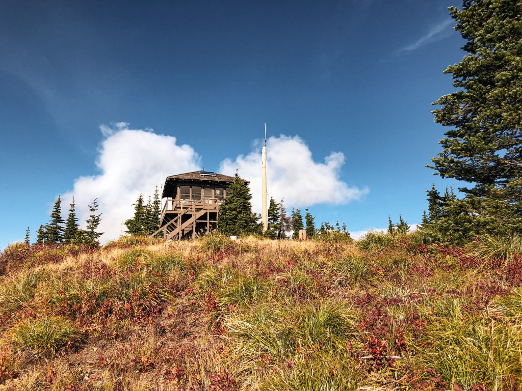
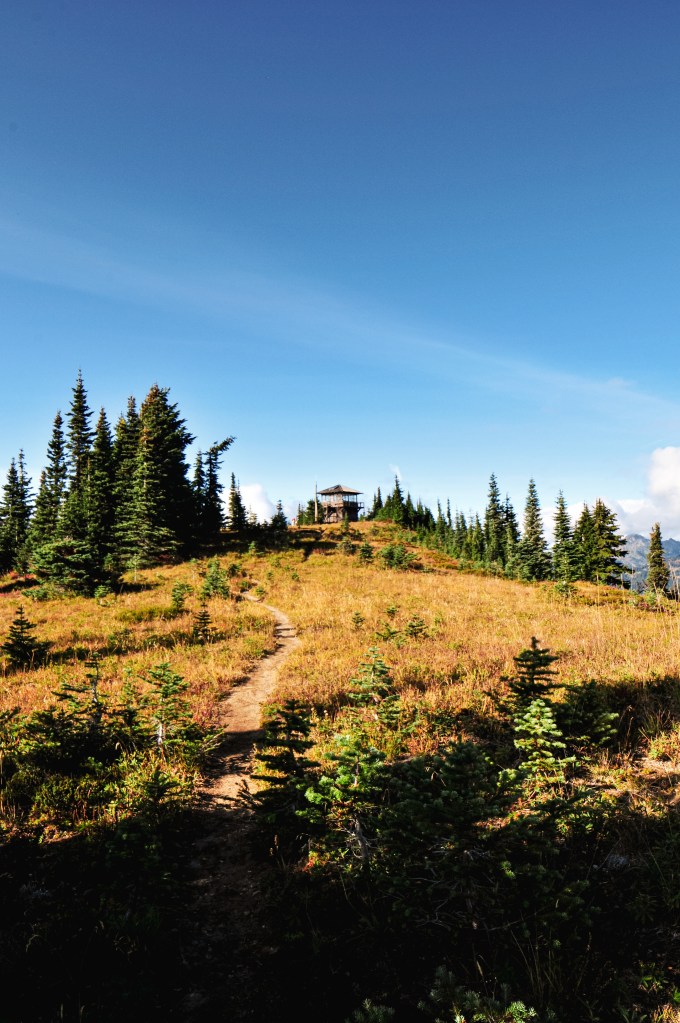
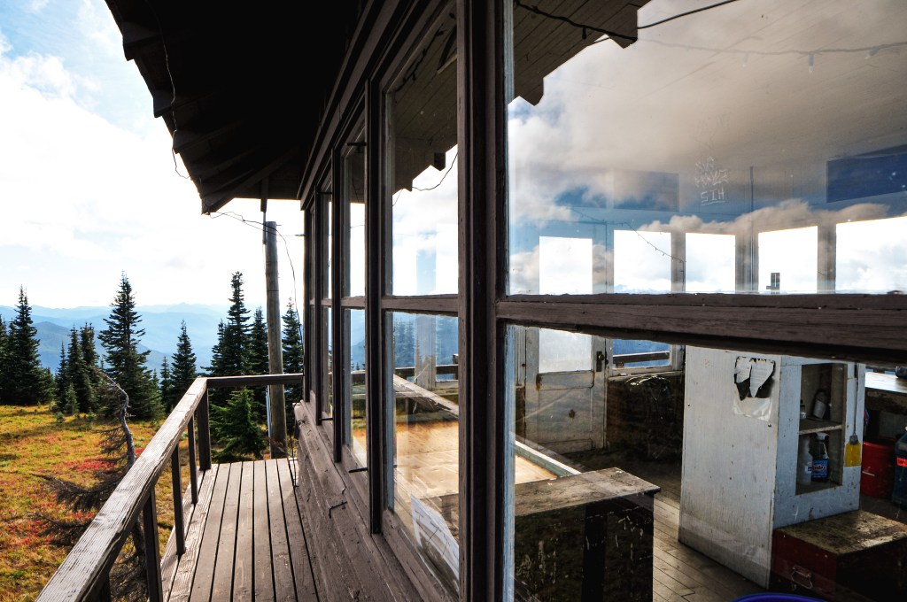
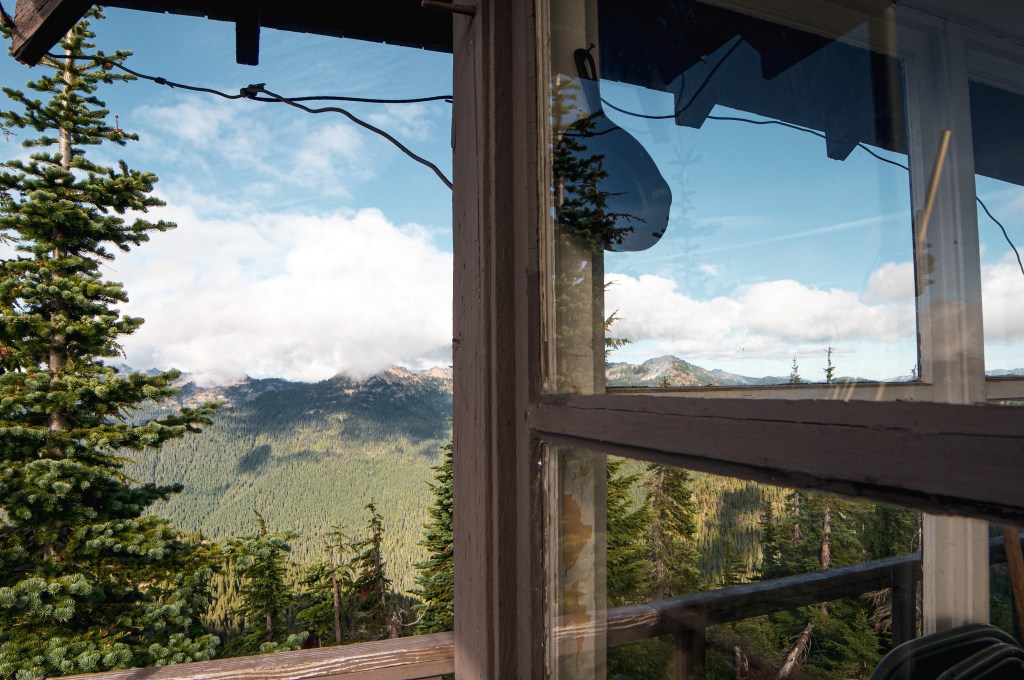
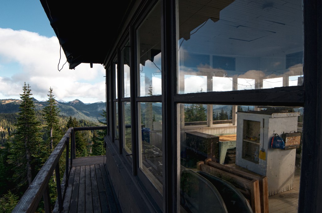
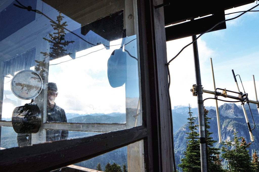
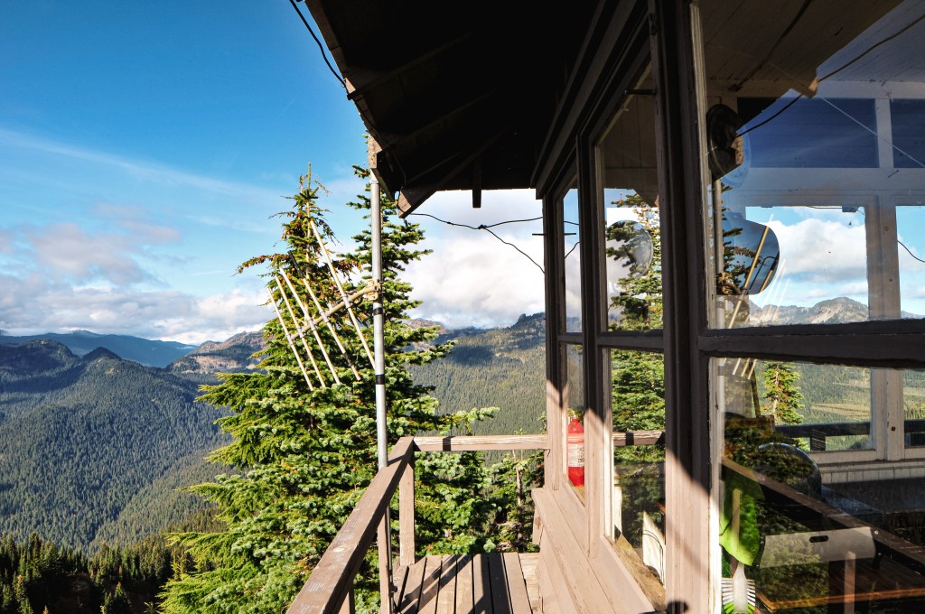
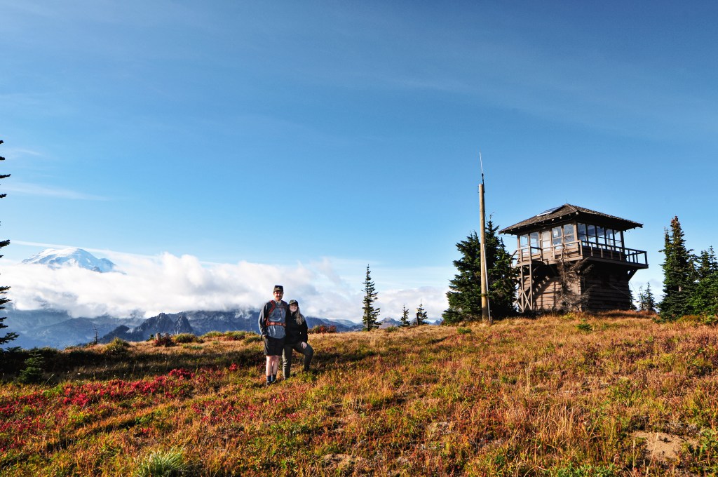
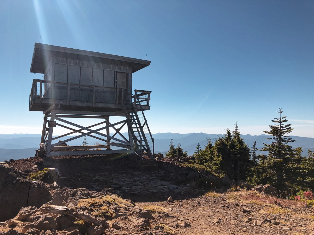
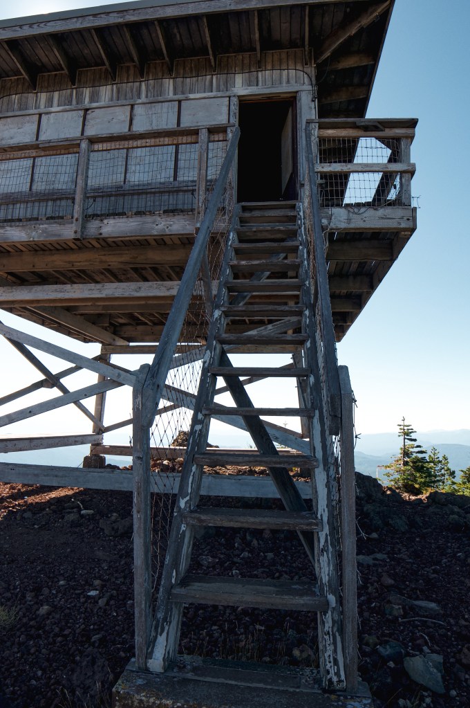
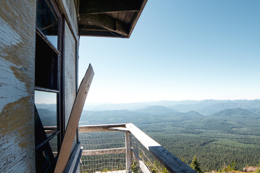
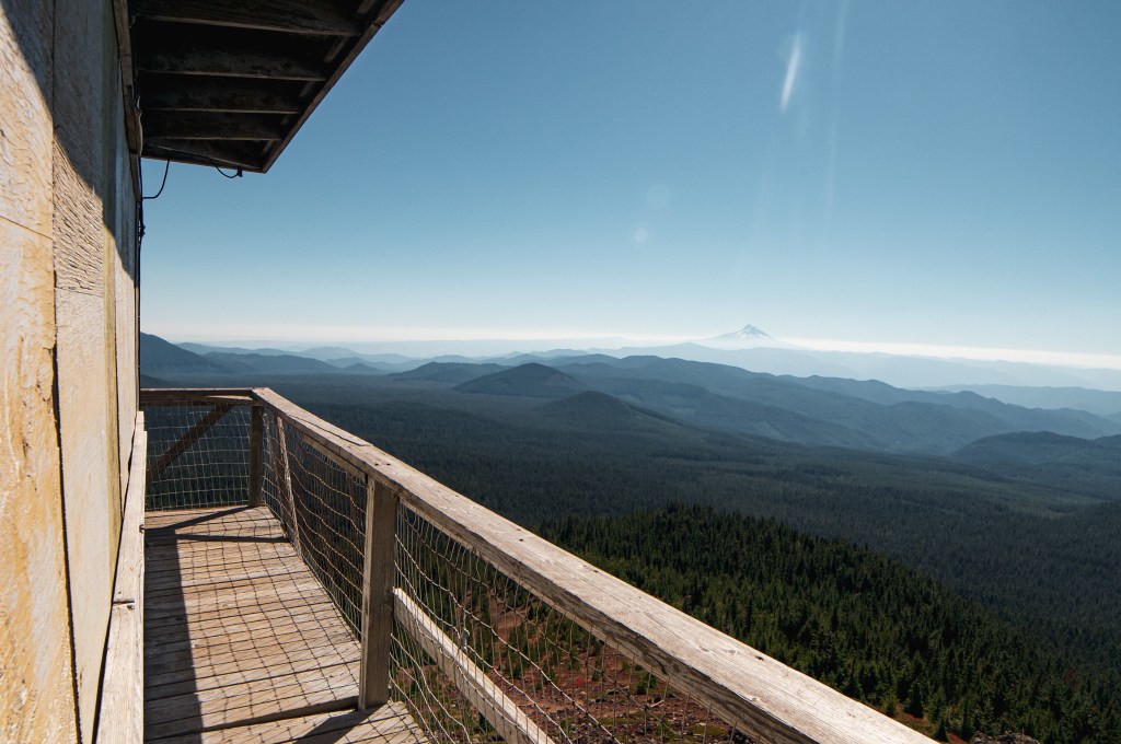
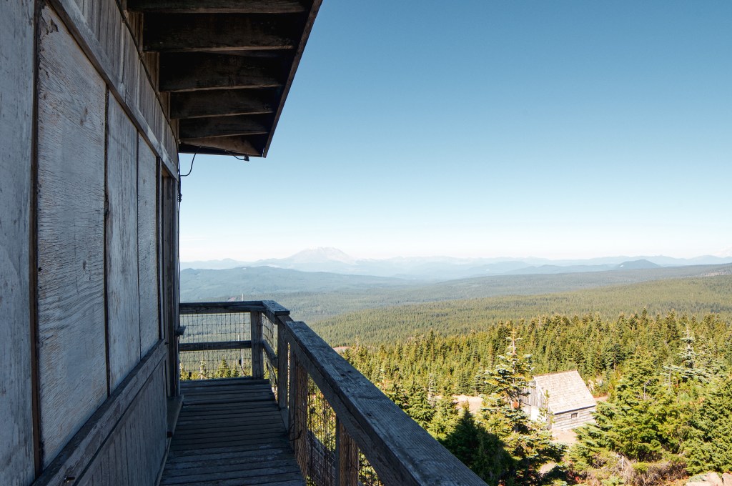
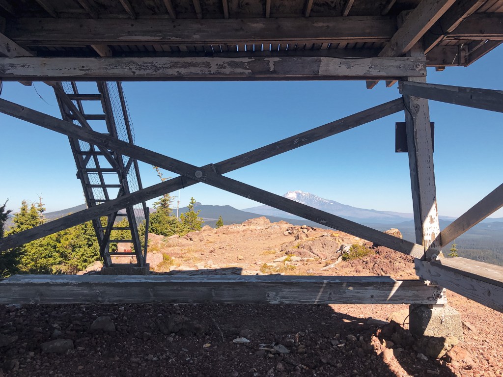
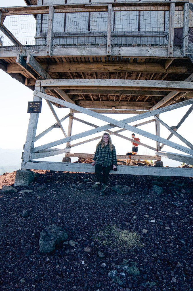
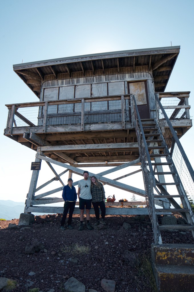
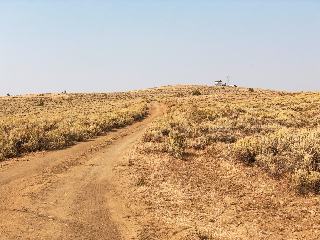
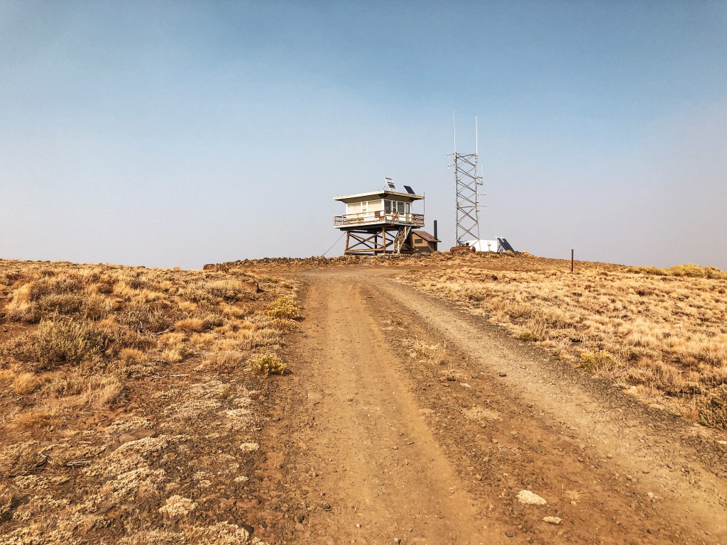
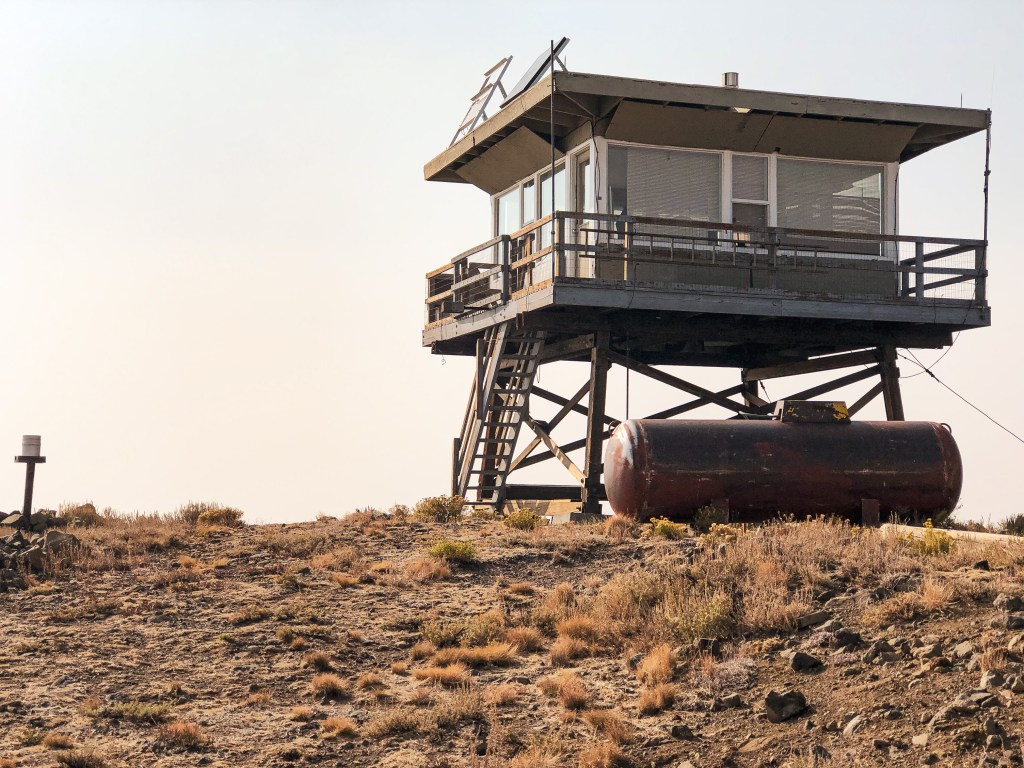
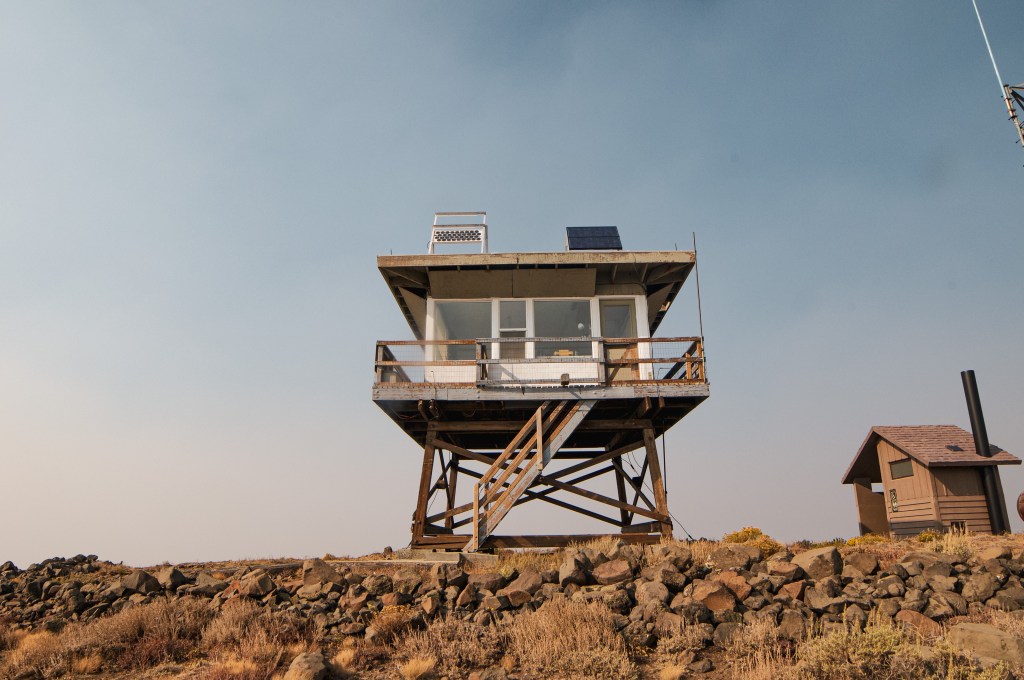
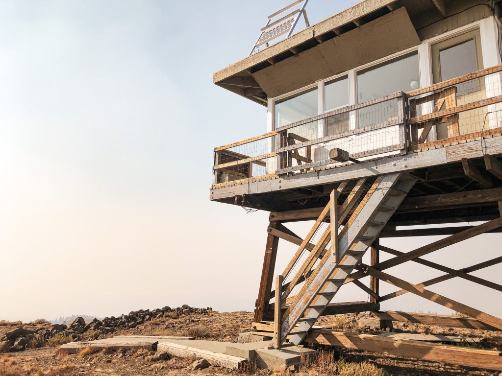
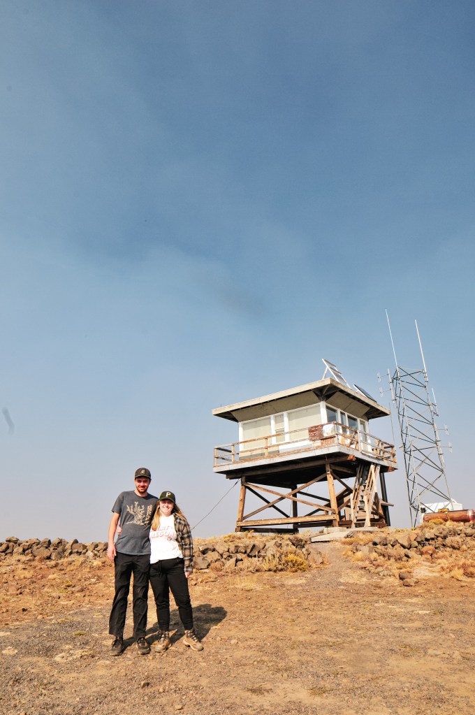
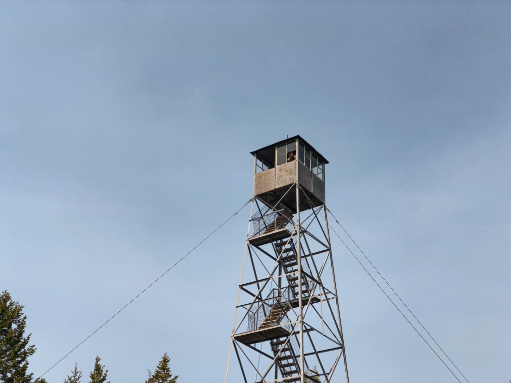
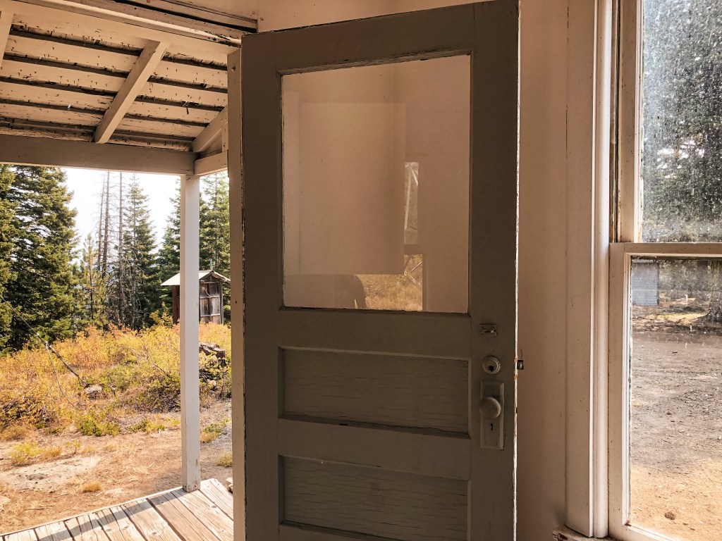
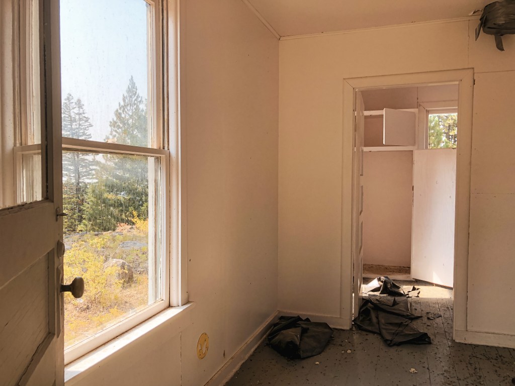
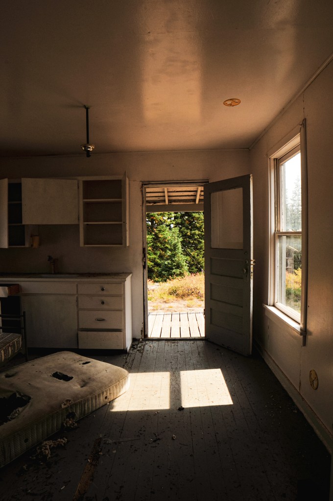
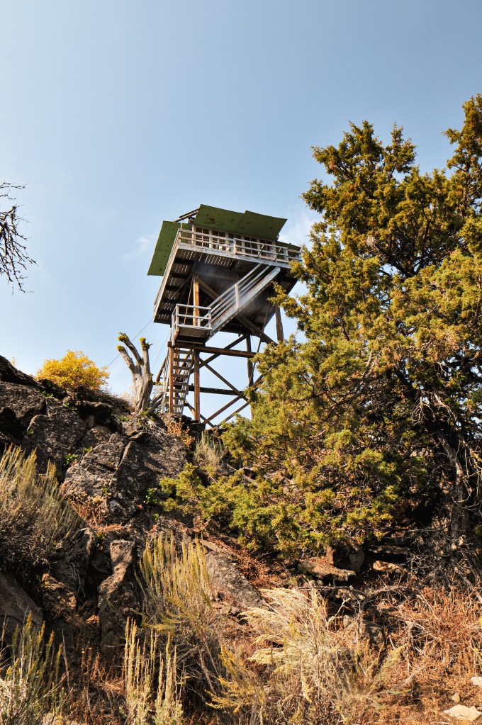
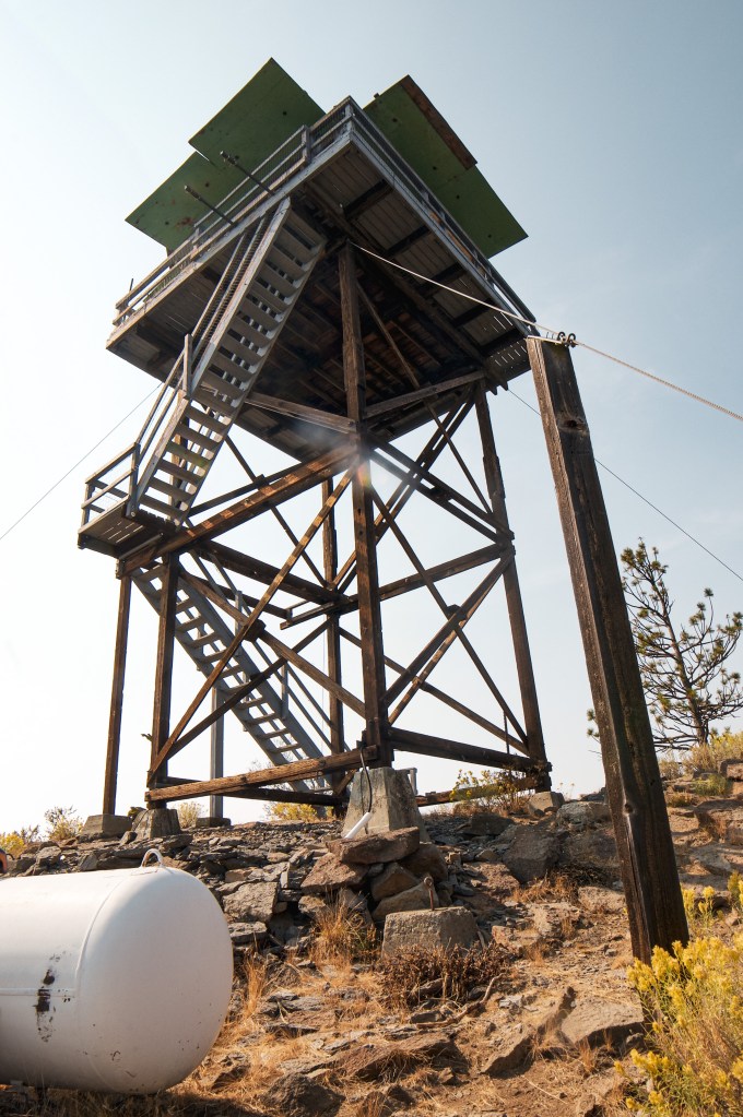
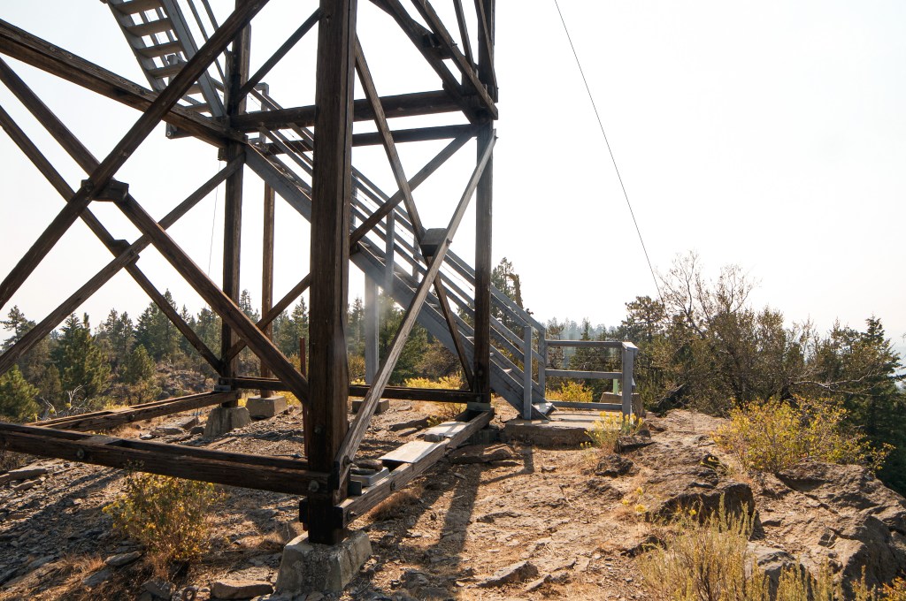
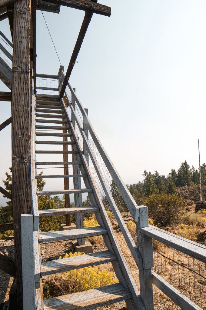
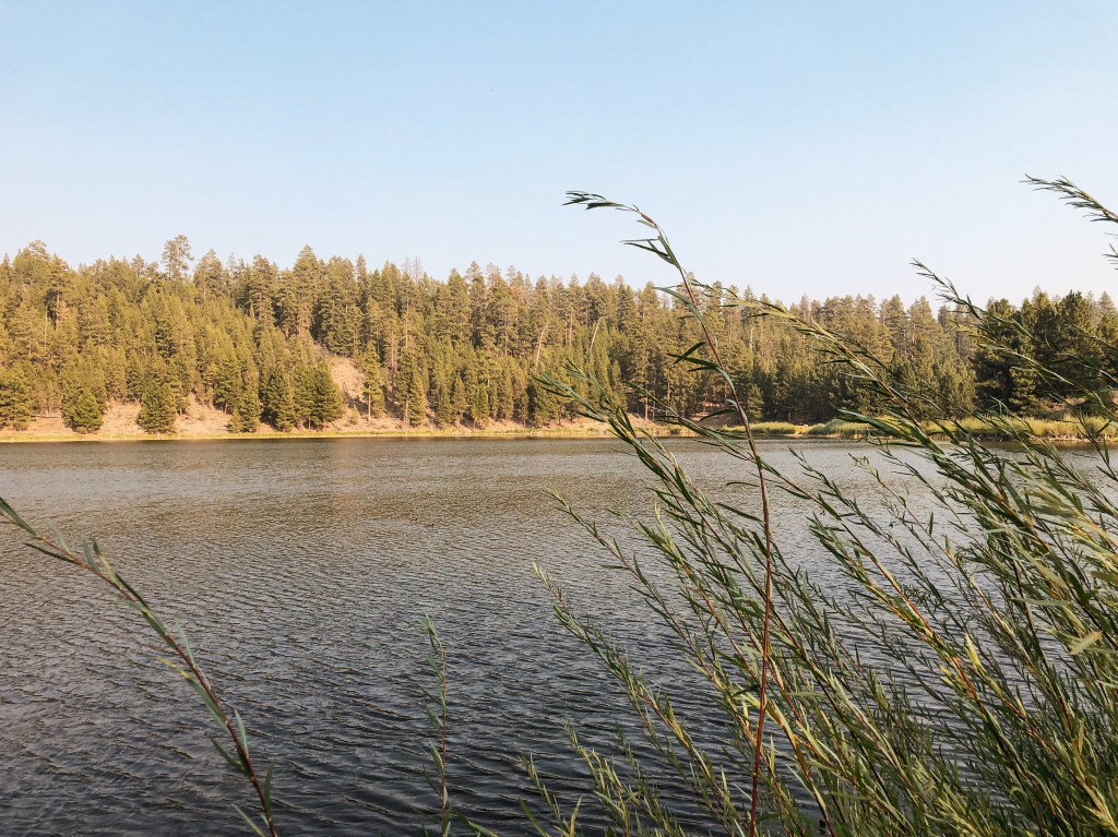
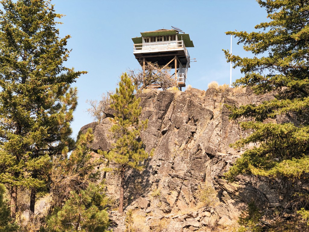
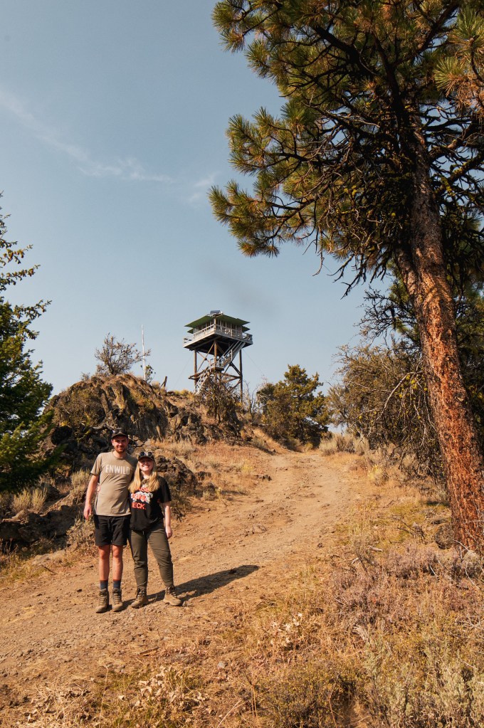
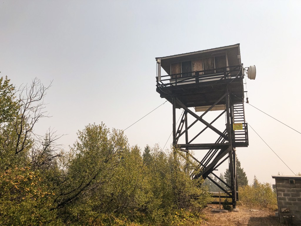
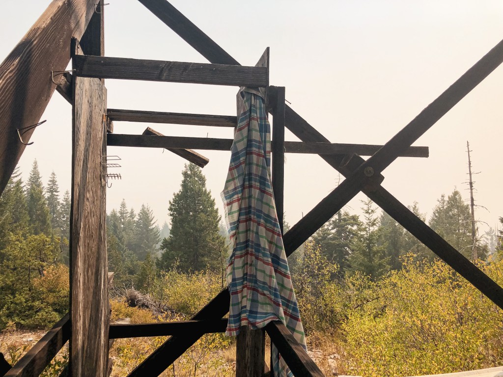
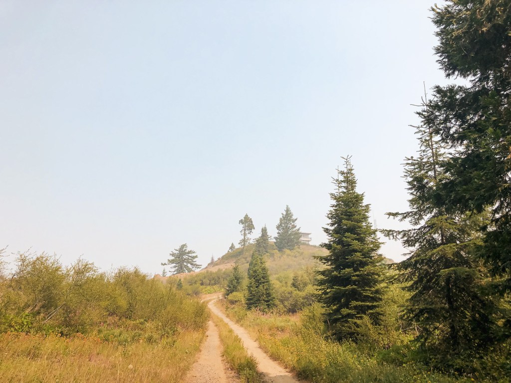
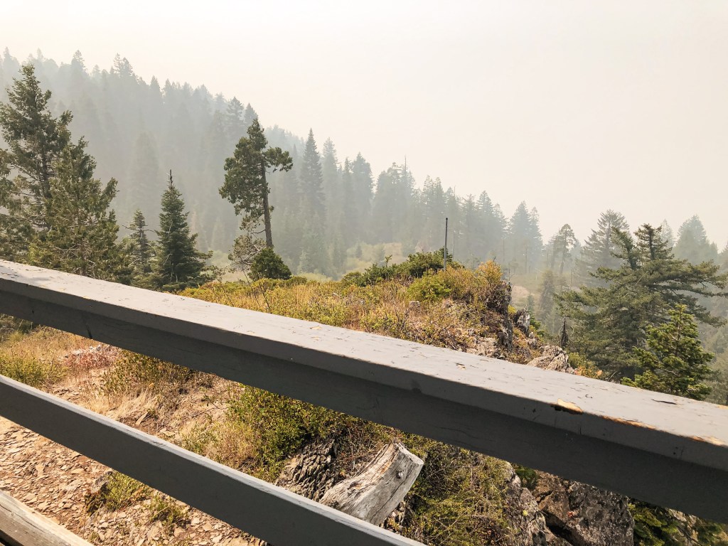
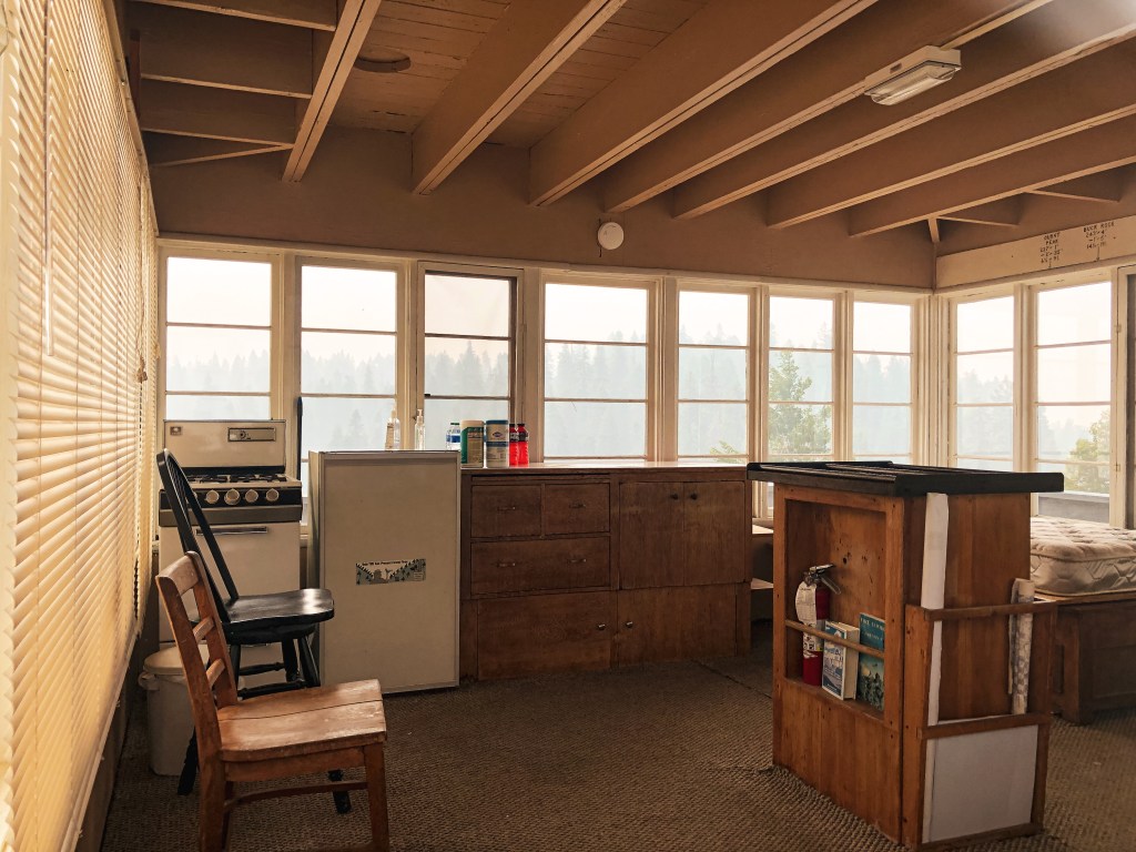
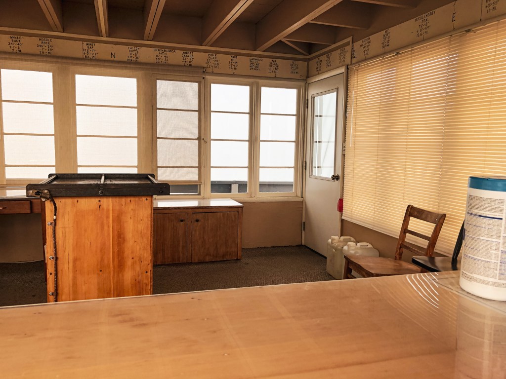
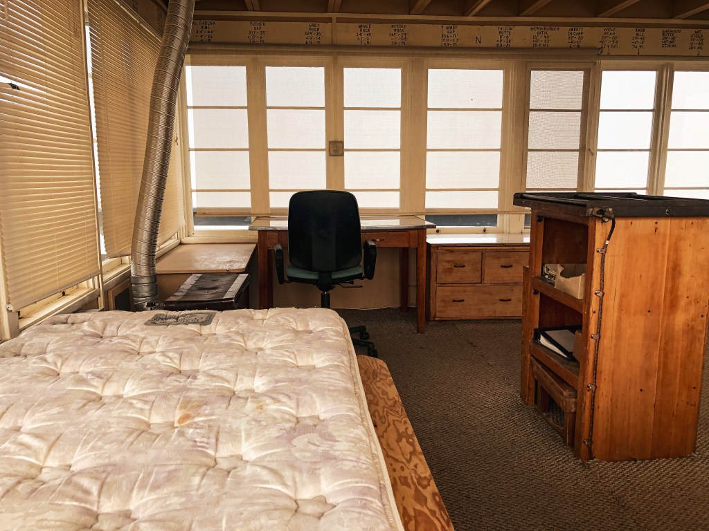
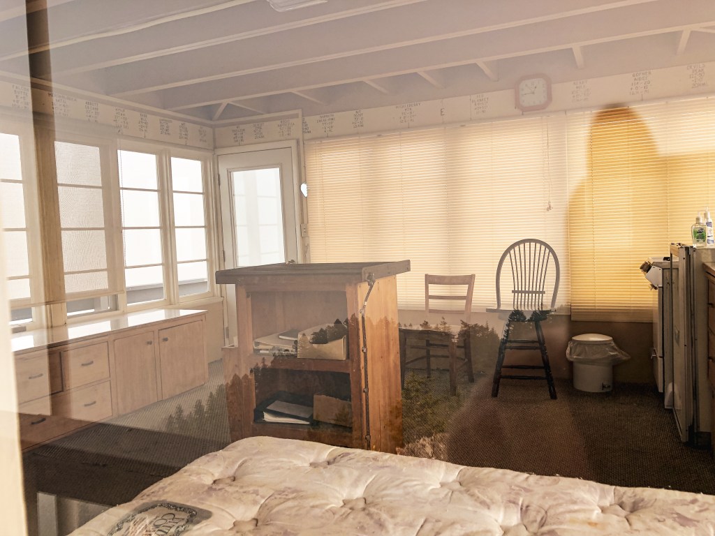
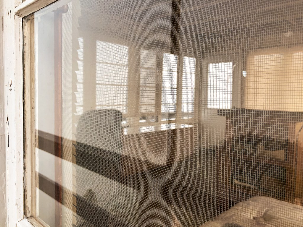
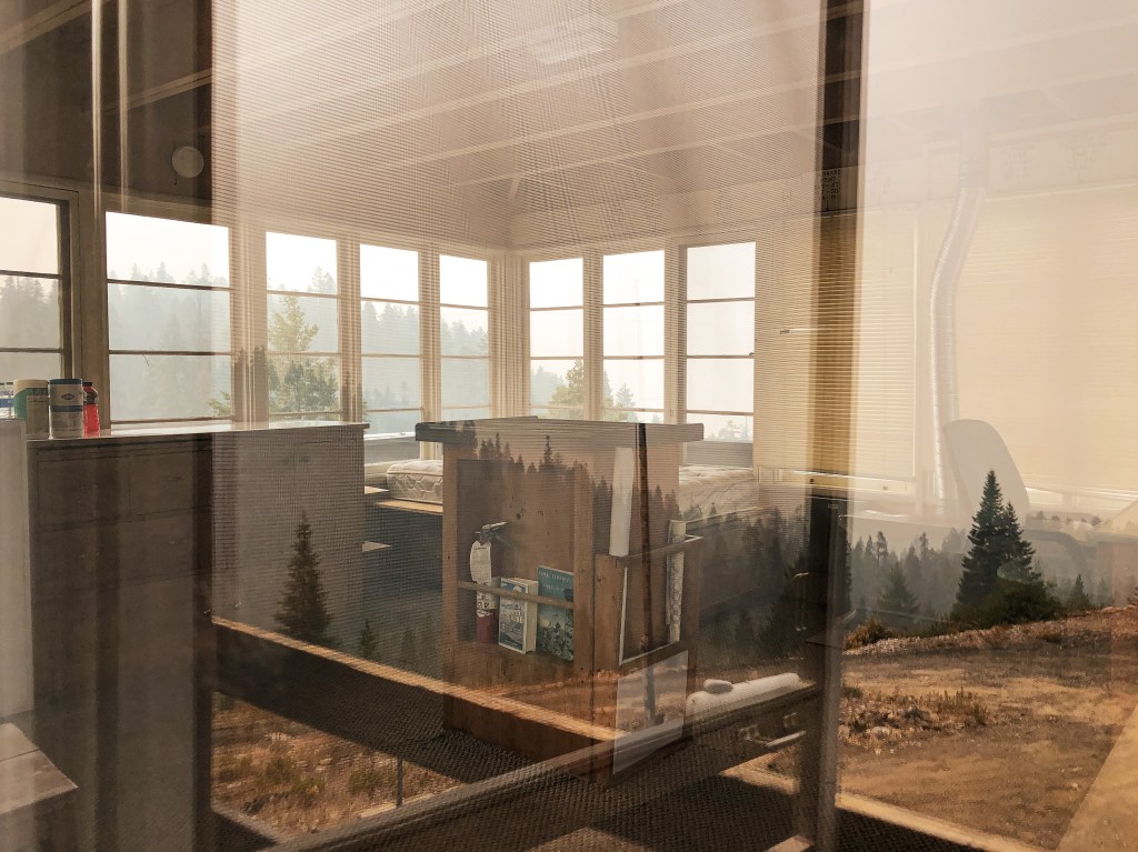
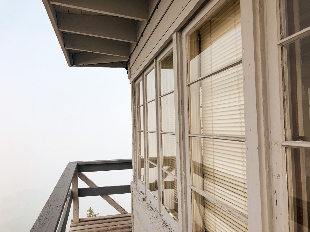
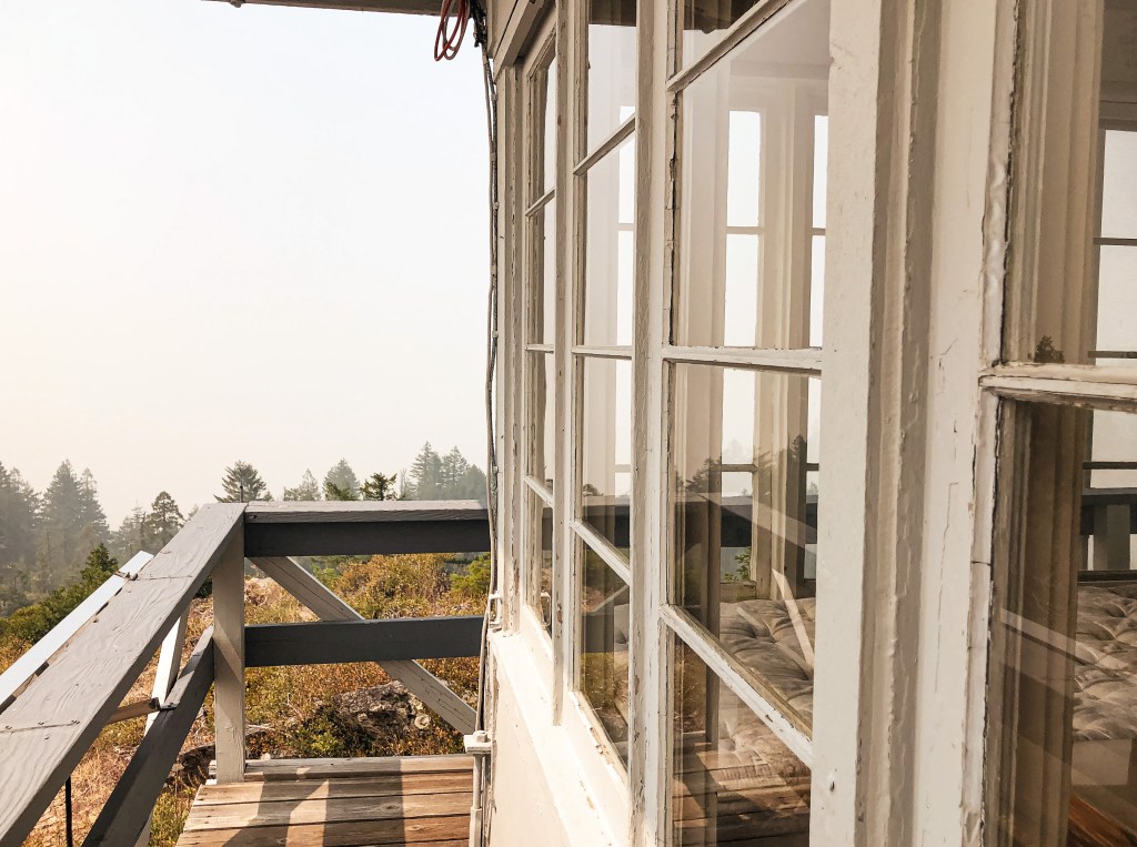
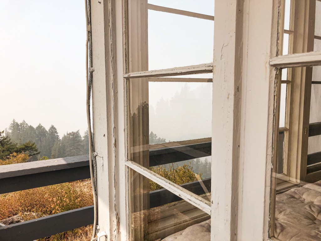
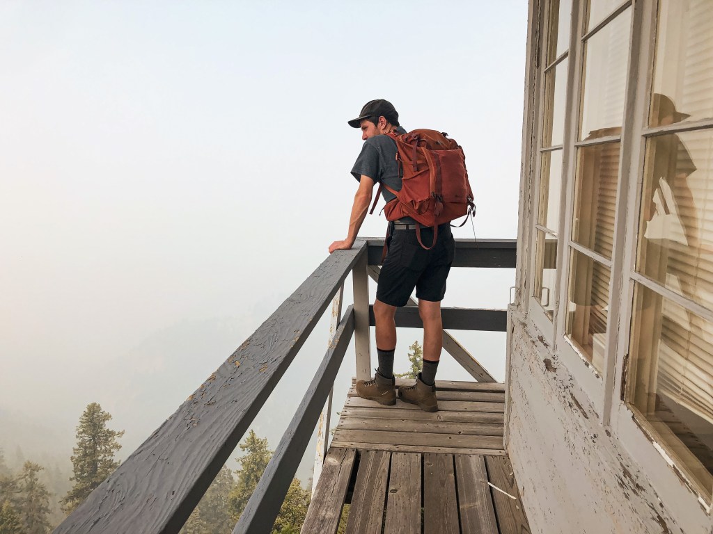
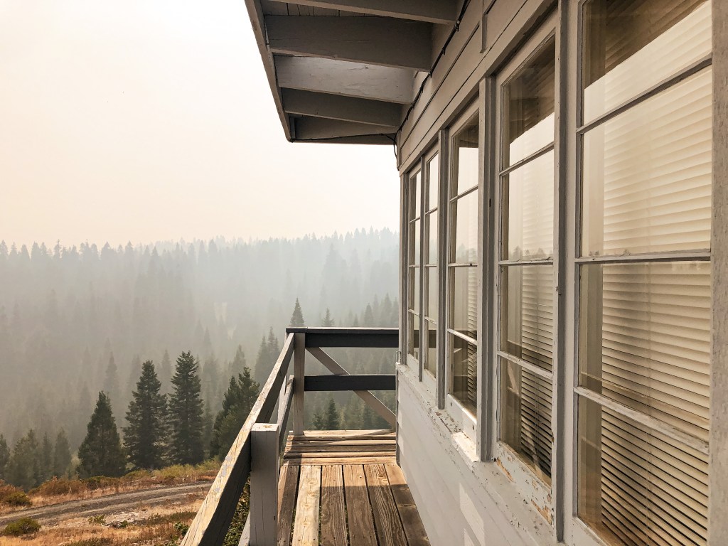
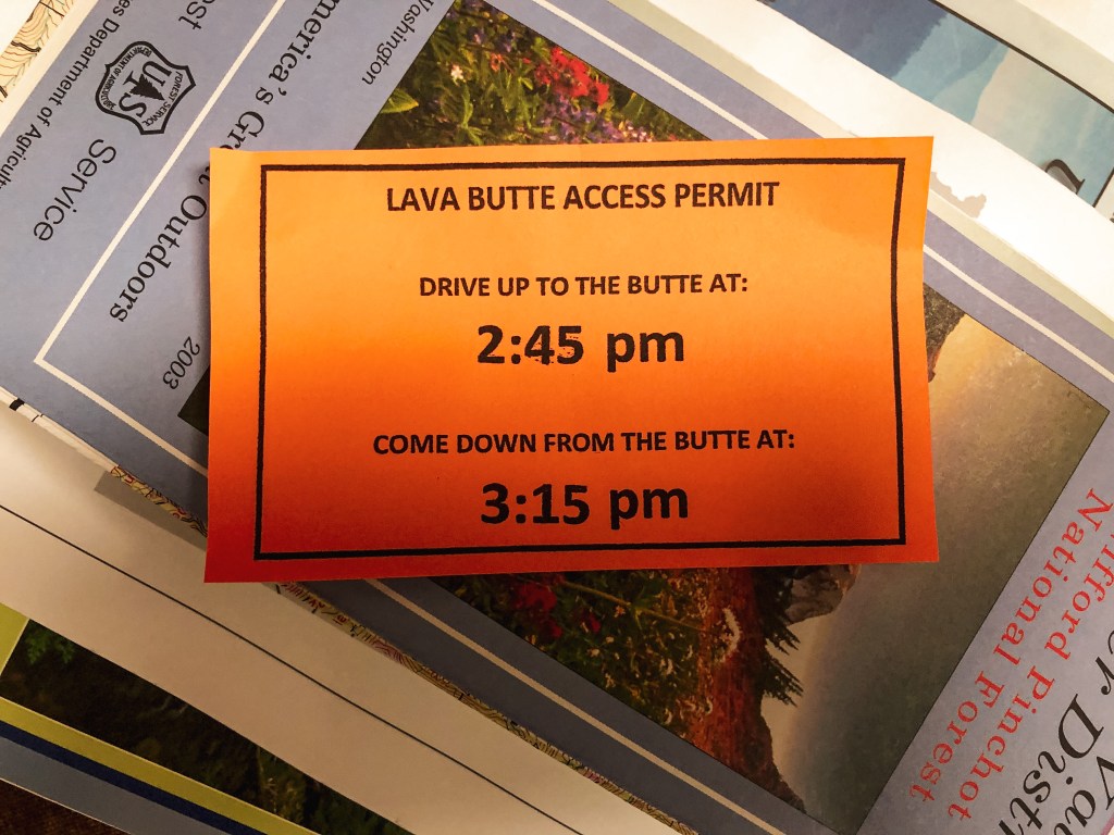
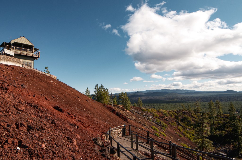
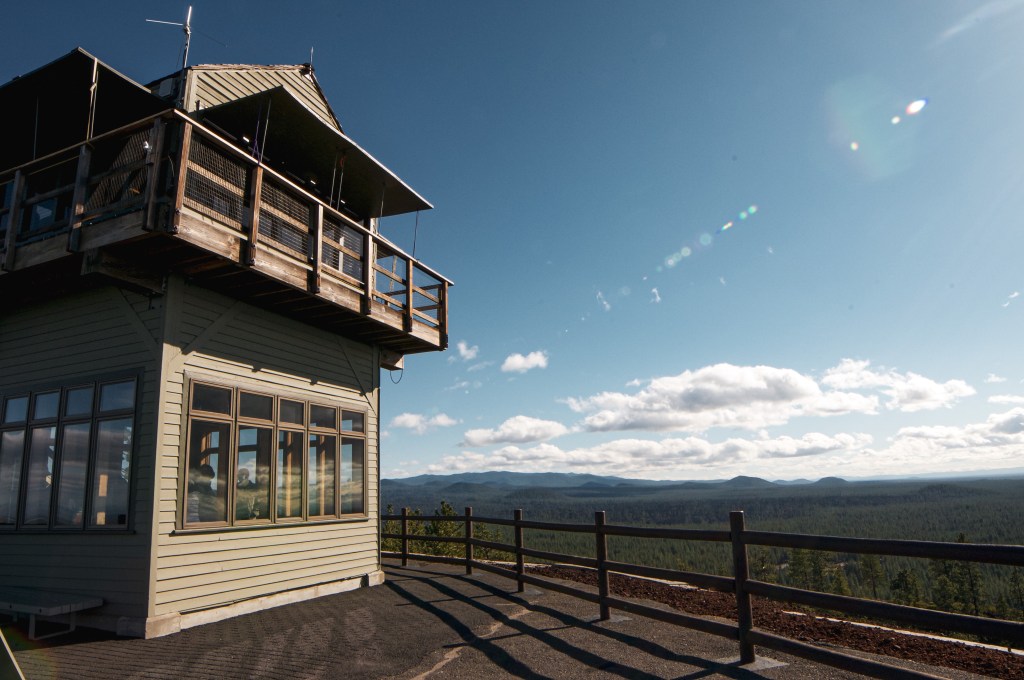
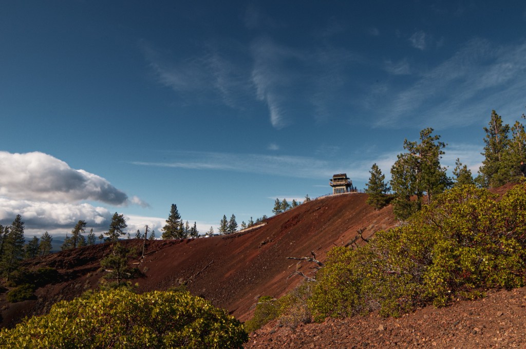
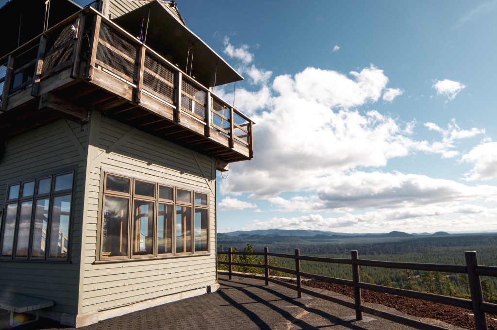
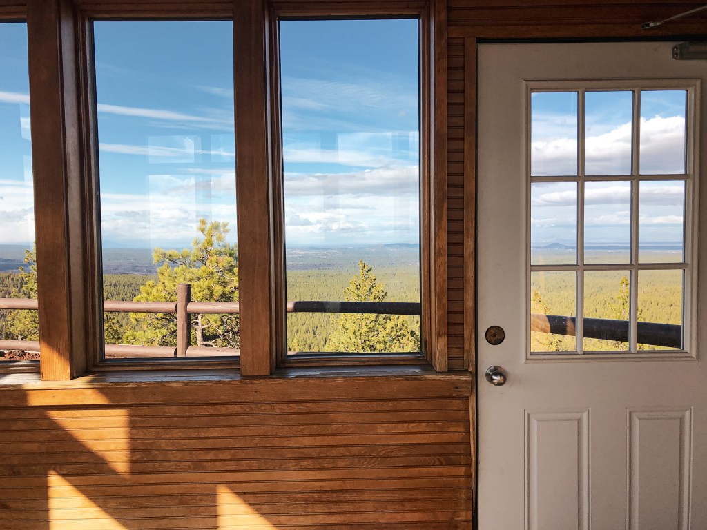
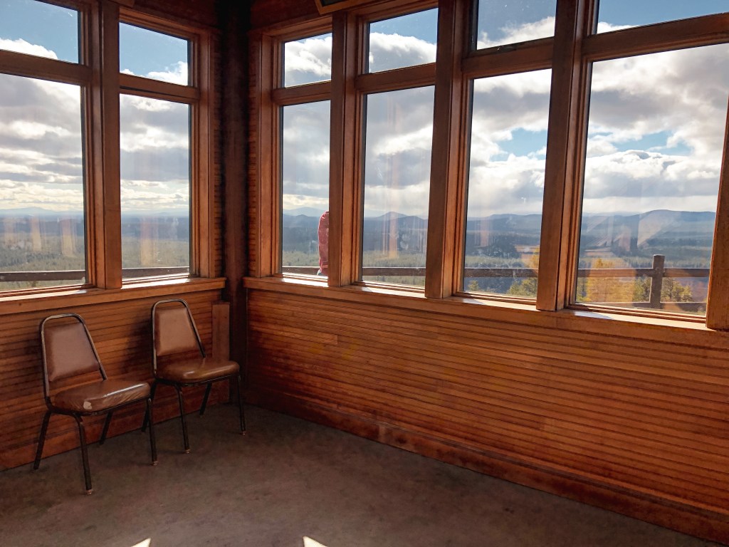
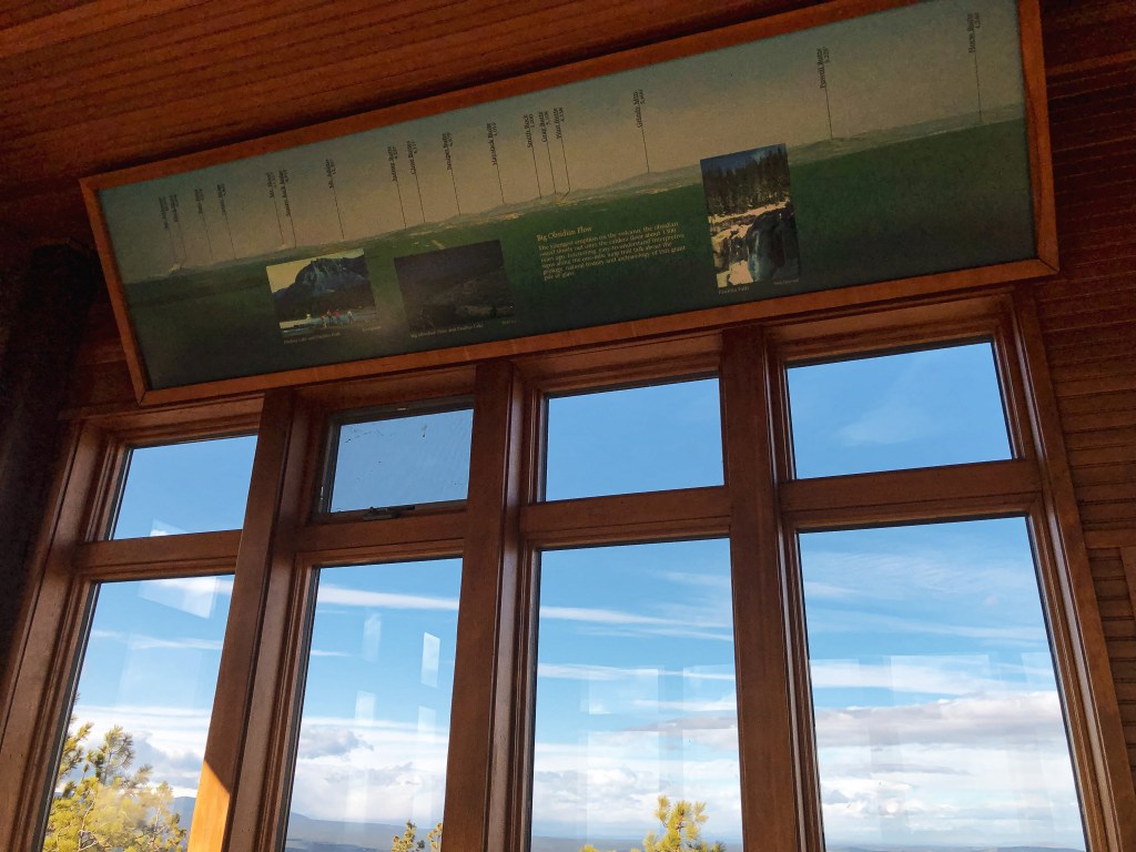
Lava Butte L.O. is one of the easiest accessed active fire lookouts in Oregon and, no doubt, the most visited. We decided to stop here on our way back to Portland since it is only a short paved drive to the top. The lookout is within the Newberry National Volcanic Monument near the Lava Lands Visitor Center. You will need to have a Northwest Forest Pass, National Parks Pass, or pay an entry fee to access. Due to the limited parking at the top of the cinder cone, you need to have a time access permit. These are free to visitors and are handed out at the entry kiosk. We did not know this at the time of our visit and were told we’d have to wait an hour to gain access. Driving to the top of the cinder cone is only permitted from late May to mid-October. We just happened to be here on the last day it was open for the season. Hiking up the road to the top is permitted year-round and is an alternative option if you do not want to wait for a time permit. We figured by the time we hiked to the top and back it’d be our time to drive anyway. We decided to wait and check out the Black Rock trail on the other side of the parking lot in the mean time. Once on the summit it is a short paved walk to the base of the lookout. The top is actively staffed and inaccessible to the public. The base of the lookout acts as a visitor center that has informative signs to help locate the surrounding landmarks. There is also a short un-paved trail that hikes away from the lookout around the cone. The time permit for the top only allows for 30-minutes, but we found this was plenty of time to check it out and take some pictures.


History.
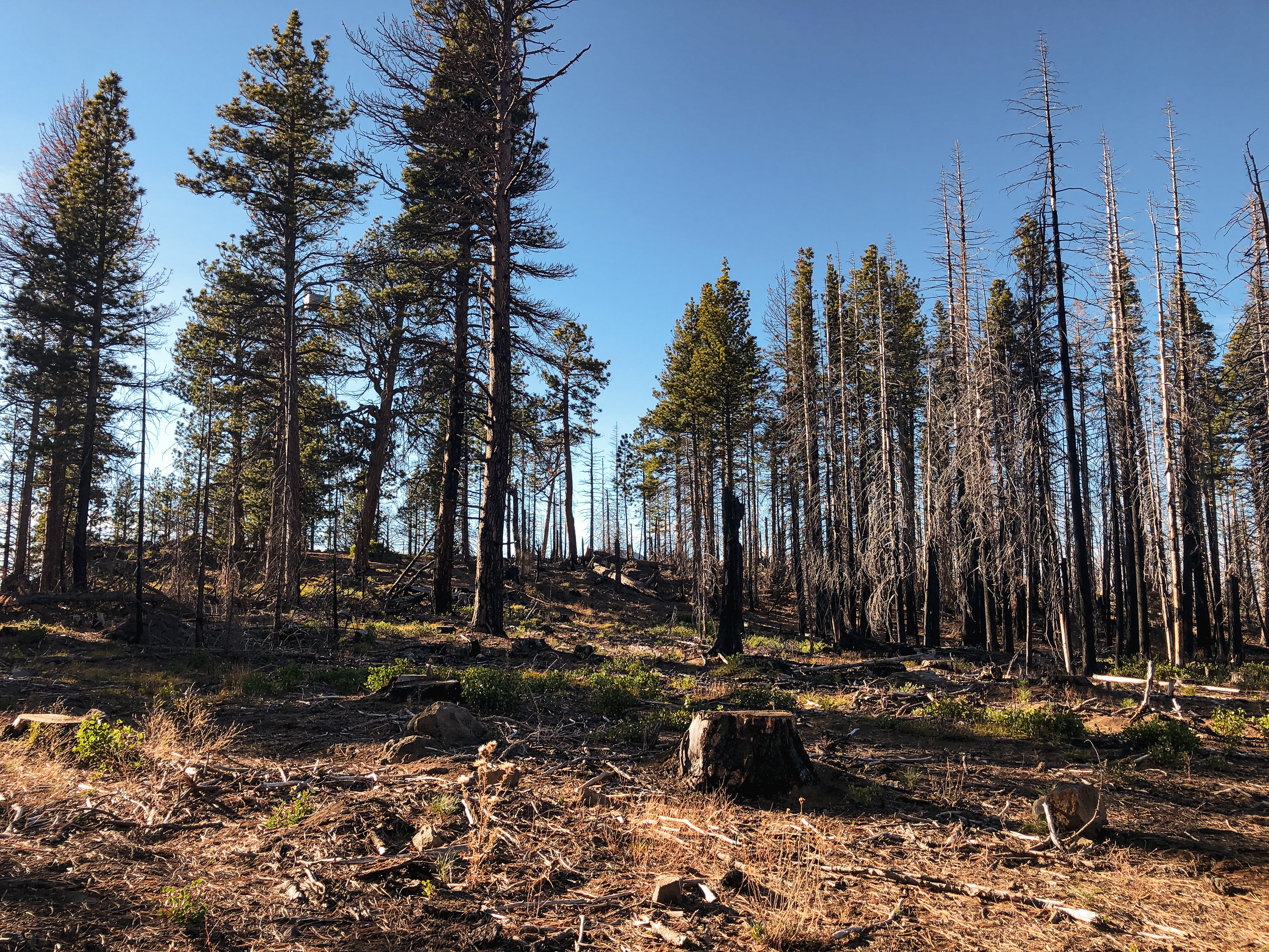
Lava Butte has been a site used for fire detection since 1913 and has had four different types of lookout structures. In 1913, they only had a telephone line to the summit and were expected to camp near the base. The fire attendants during this time were staffed by the Deschutes Valley Fire Patrol Association. It wasn’t adopted as a fire lookout by the Forest Service until 1924. The first lookout structure was built in 1931 as a 14×14 L-4 hip-roof house. It was one of the three first lookouts established in the Deschutes NF and was considered one of the most visited lookouts even then. The other two were Odell Butte L.O. and Black Butte L.O. (post) The second structure built on Lava Butte was a 2-story R-6 flat cab in 1957 to replace the existing. In 1960, the first floor was expanded to include a visitor center. It was later dismantled in 1997 to start construction on the current lookout. In 1998, they completed a 2-story replica of a gable-roofed L-4 cab with a 1st floor visitor center. Despite the easy access to this lookout and proximity to Bend, it plays a pivotal role and is noted as reporting more fires first than any other lookout on the Deschutes NF.


More Information.