Location.
The Foothills Historical Museum; Buckley, WA
Status.
Refurbished & maintained for educational purposes
Estimated drive time from Portland, OR.
3 hours
Date visited.
October 31, 2021
Elevation.
2,693′ (original)
Former Fire Lookout Site Register.
US 1205; WA 106

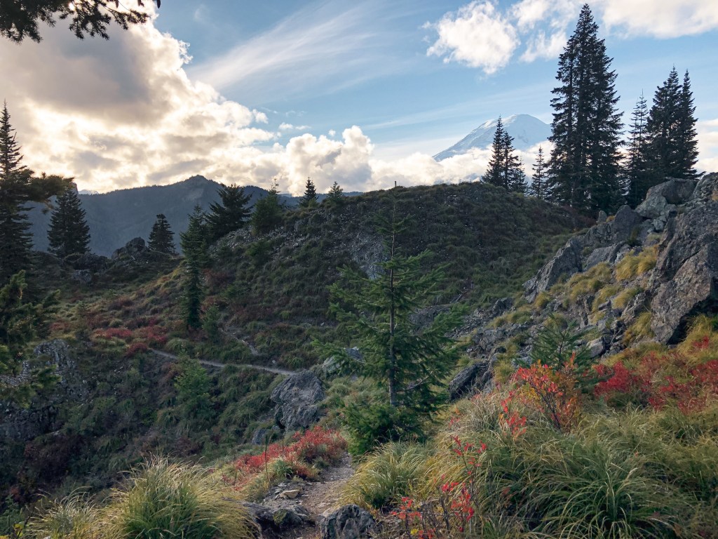
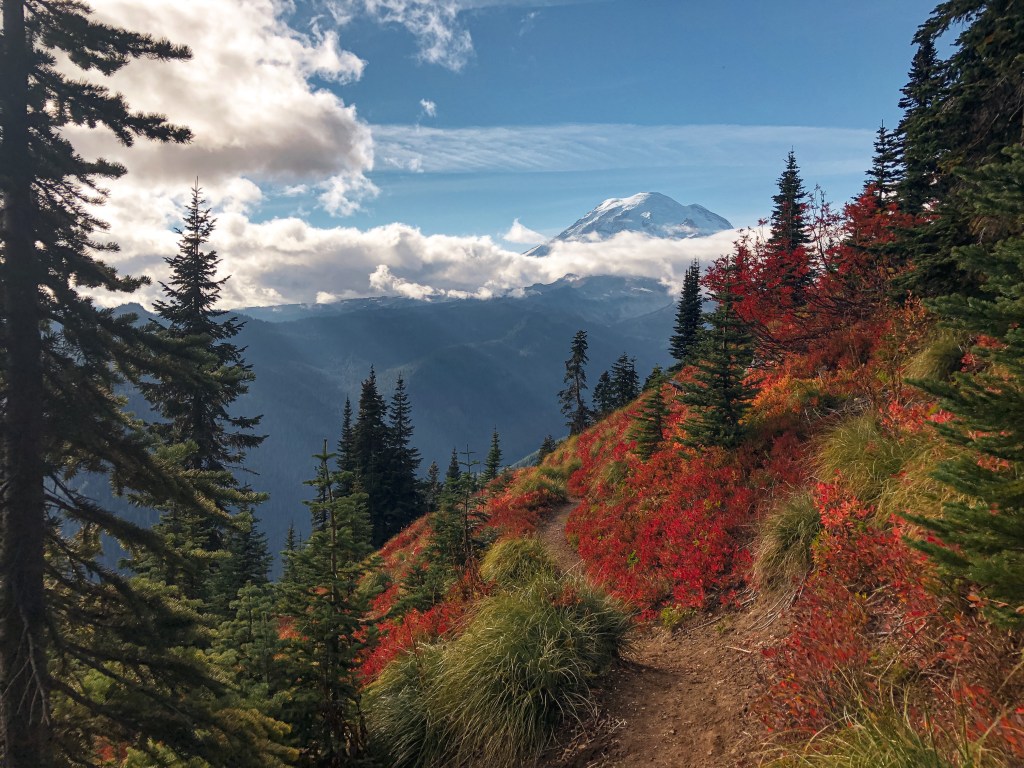
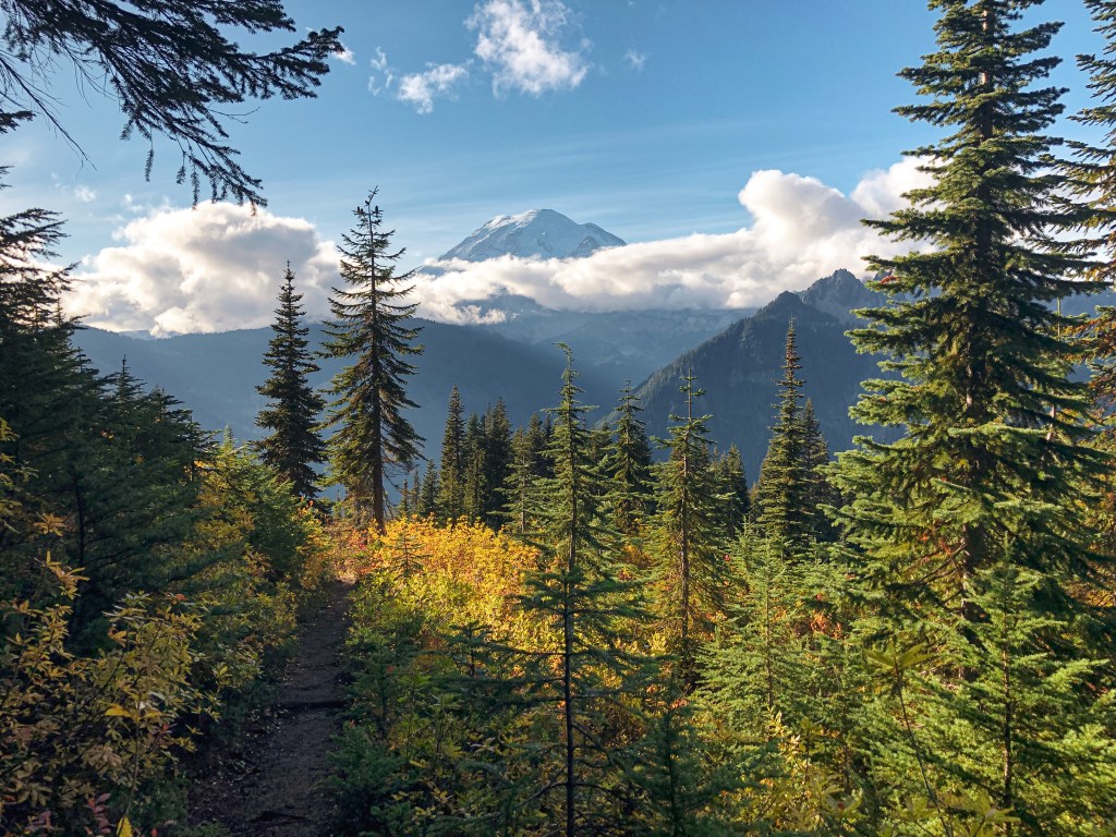
Trip Report.
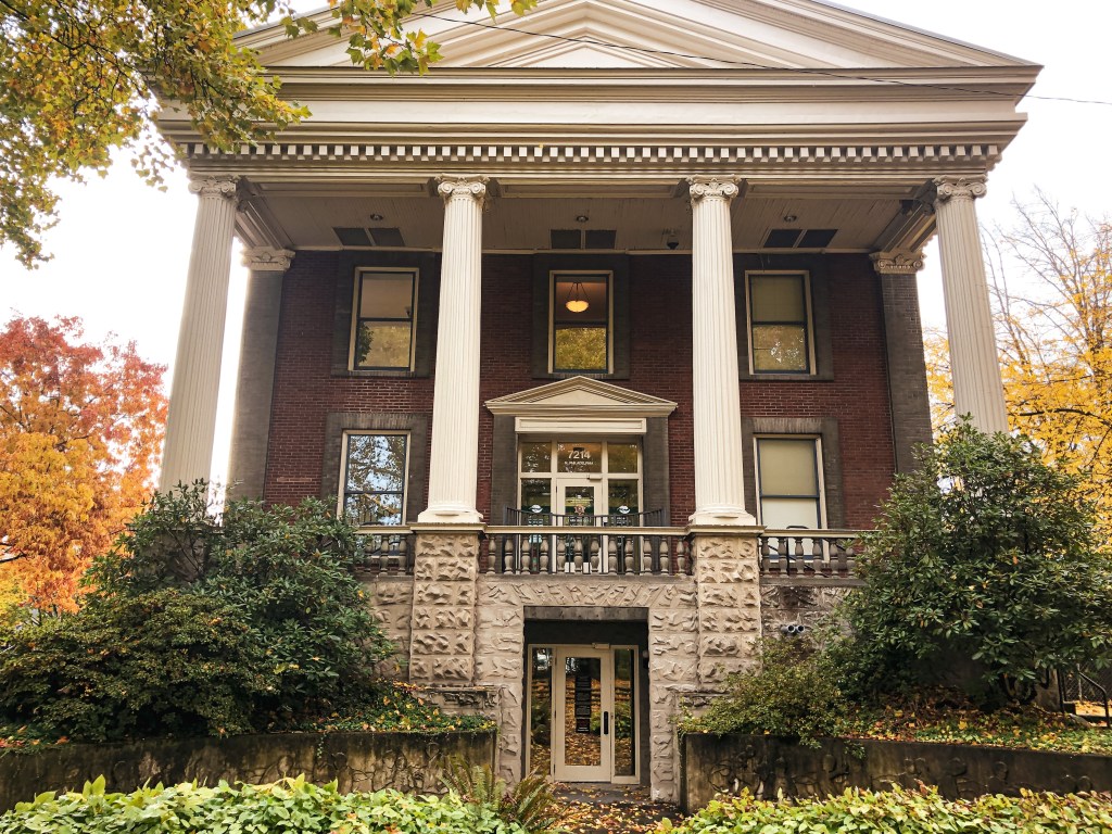
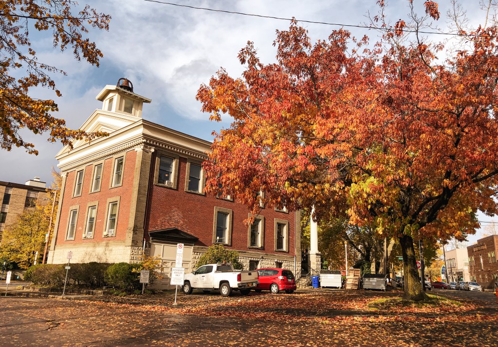
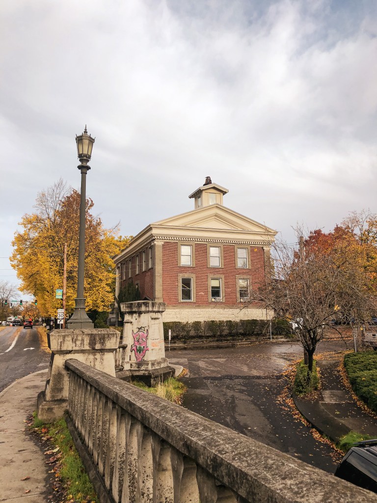
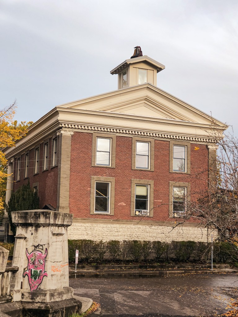
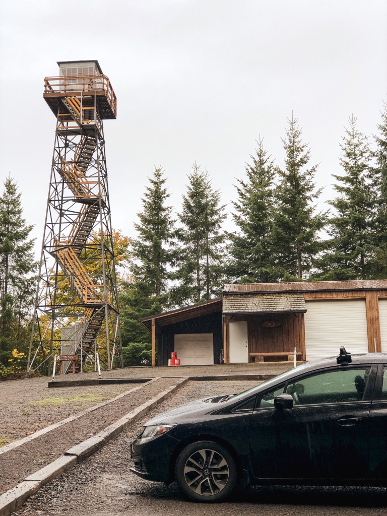
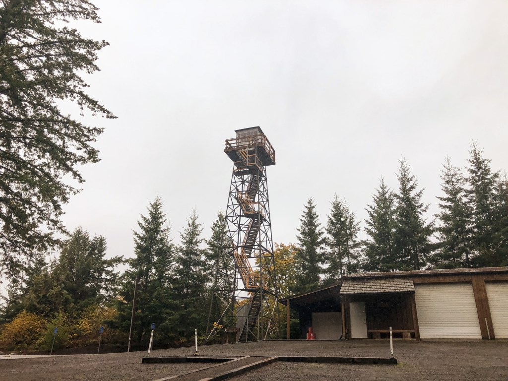
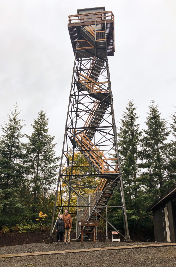
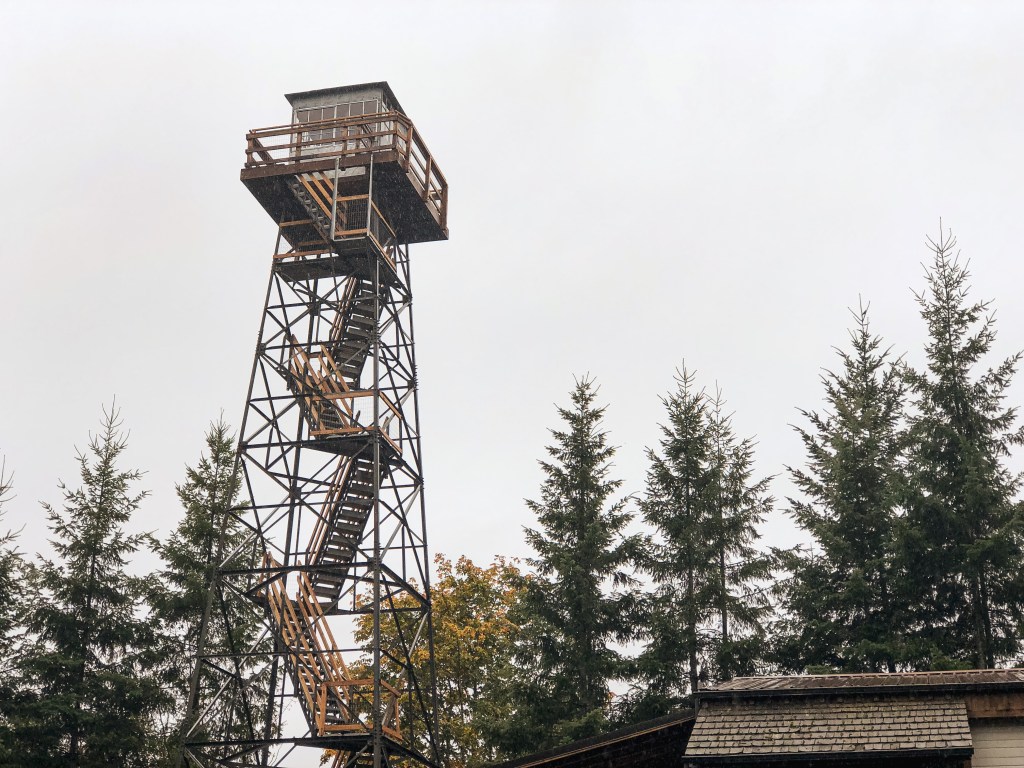
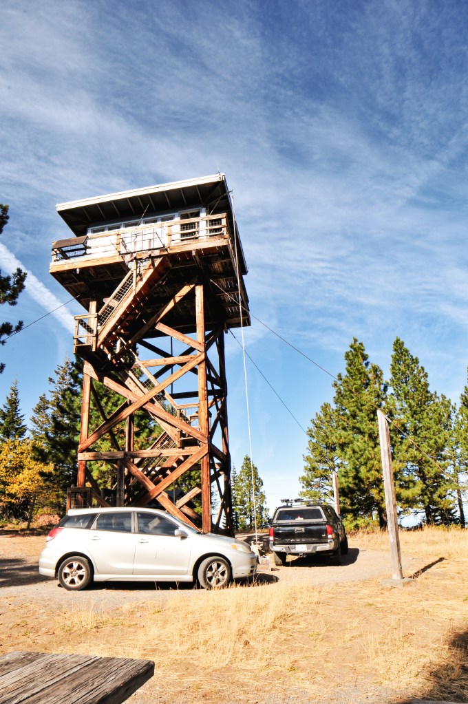
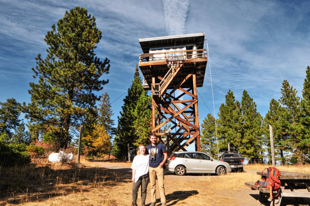
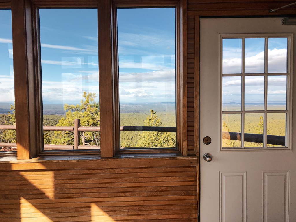
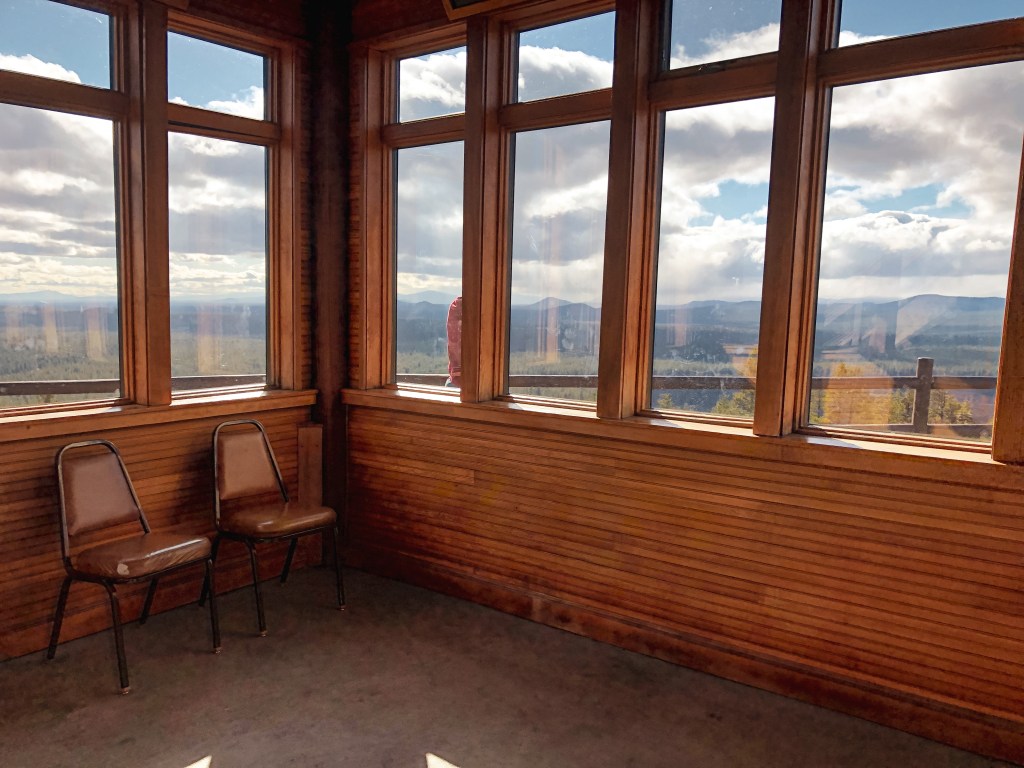
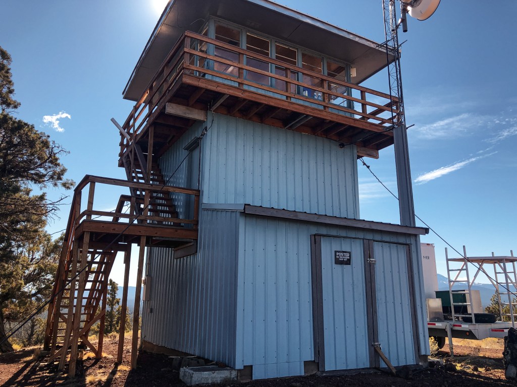
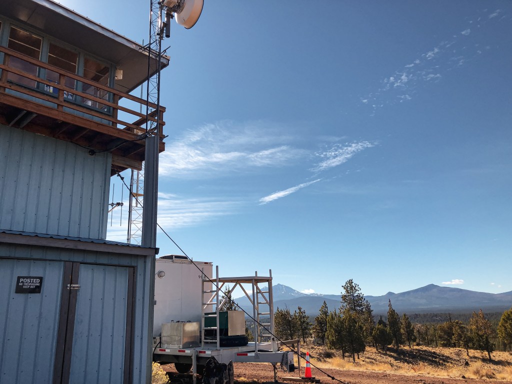
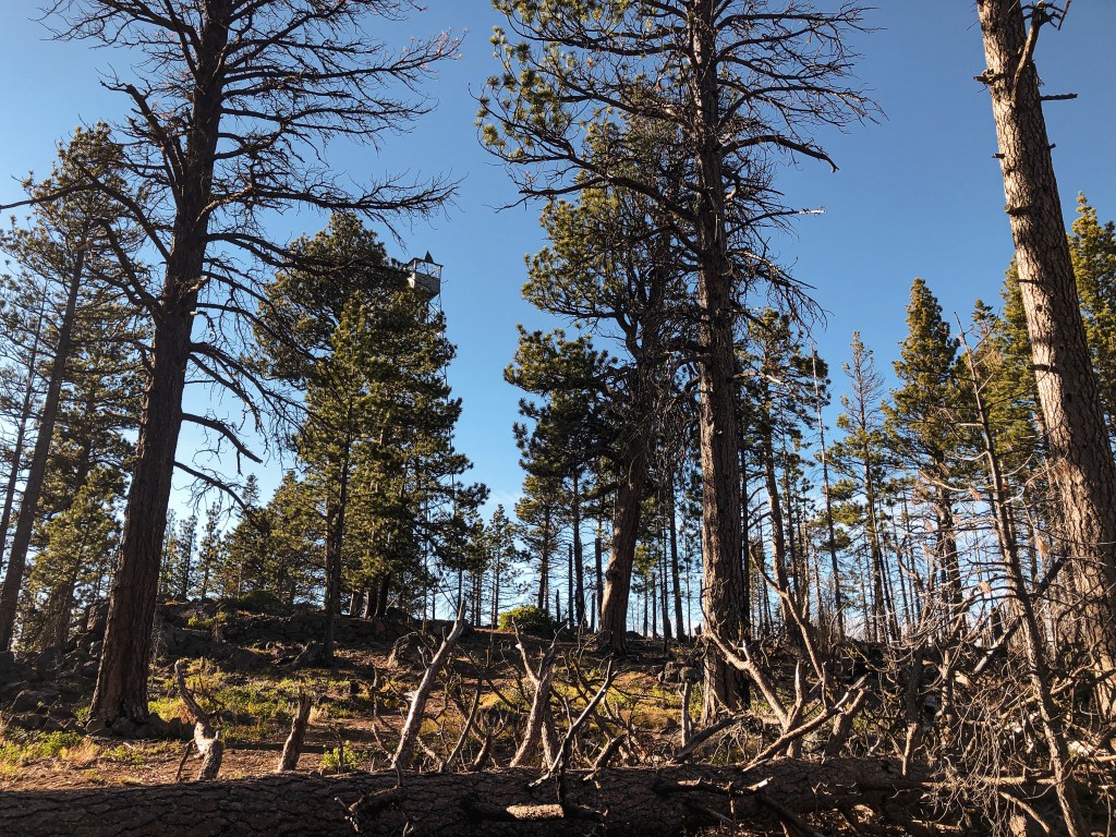
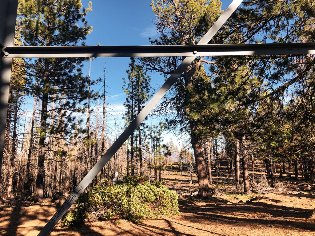
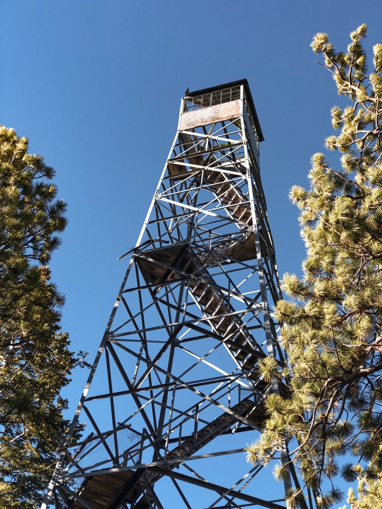
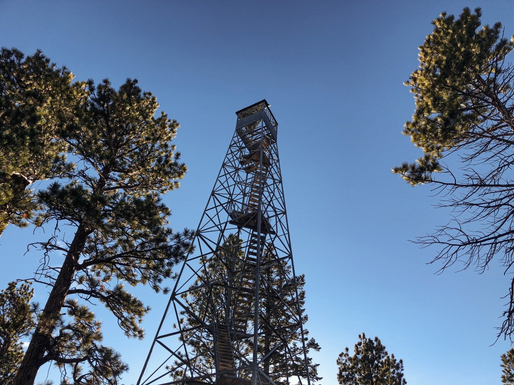
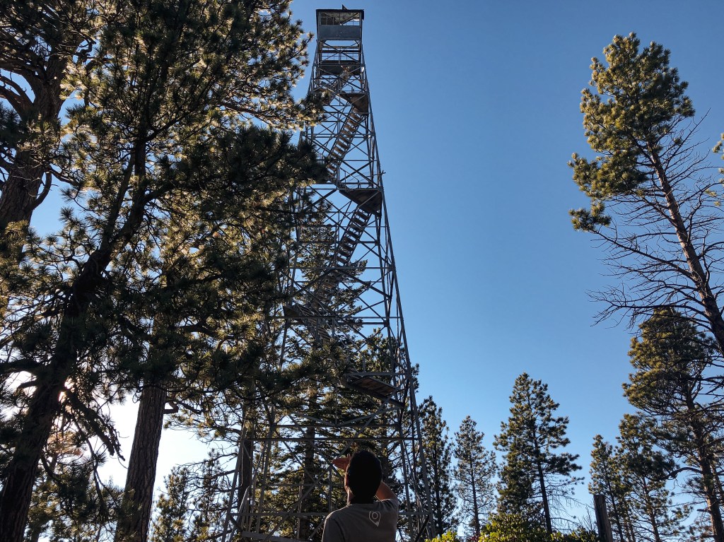
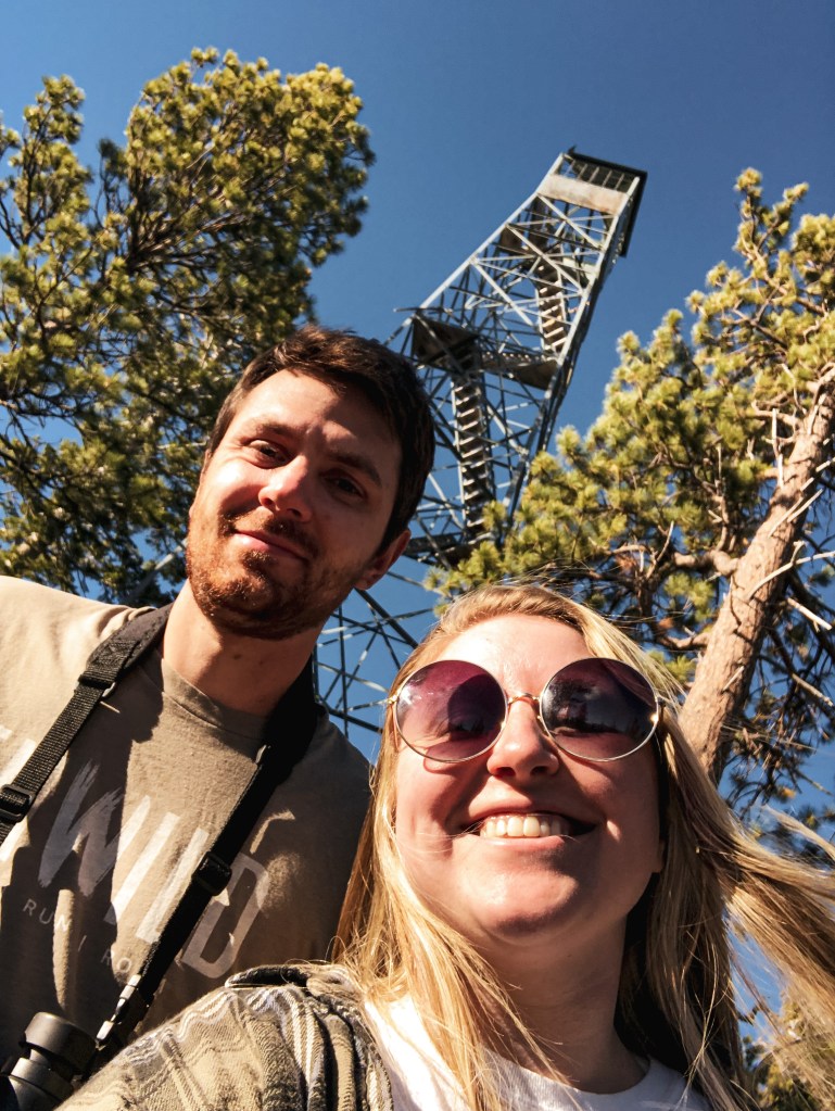
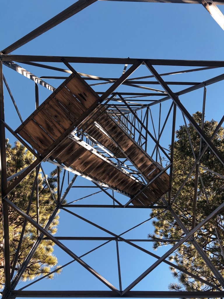
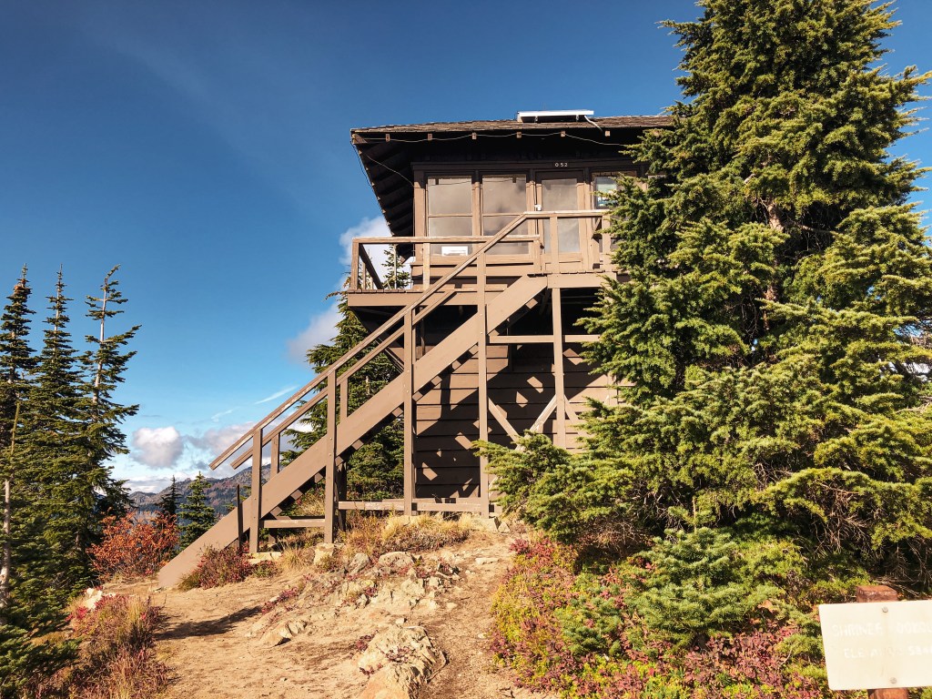
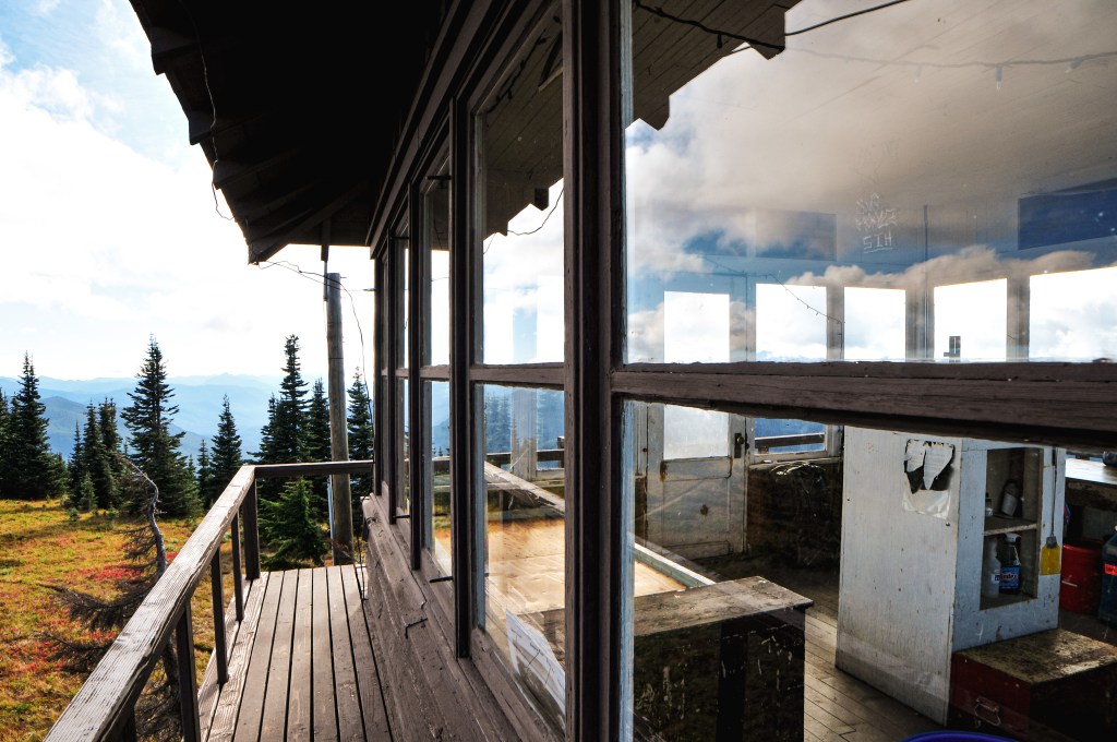
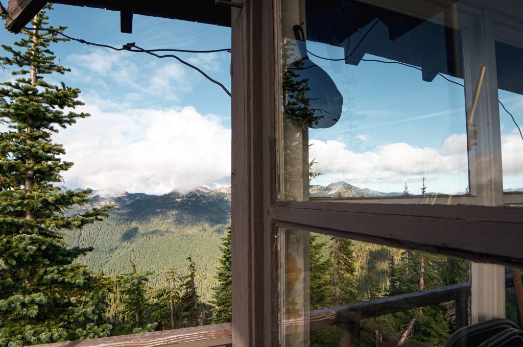
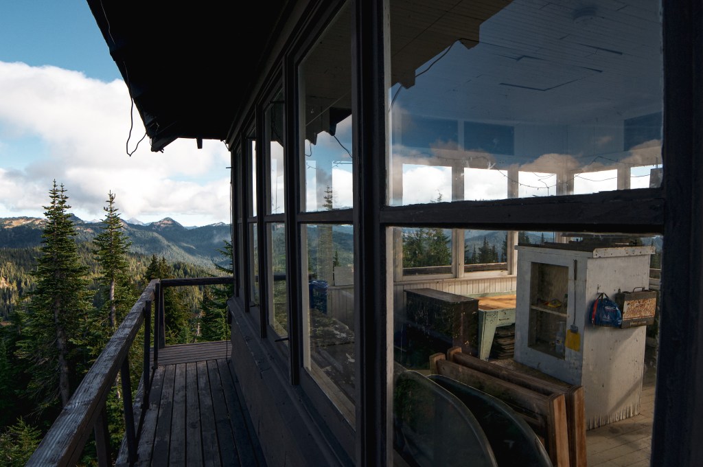
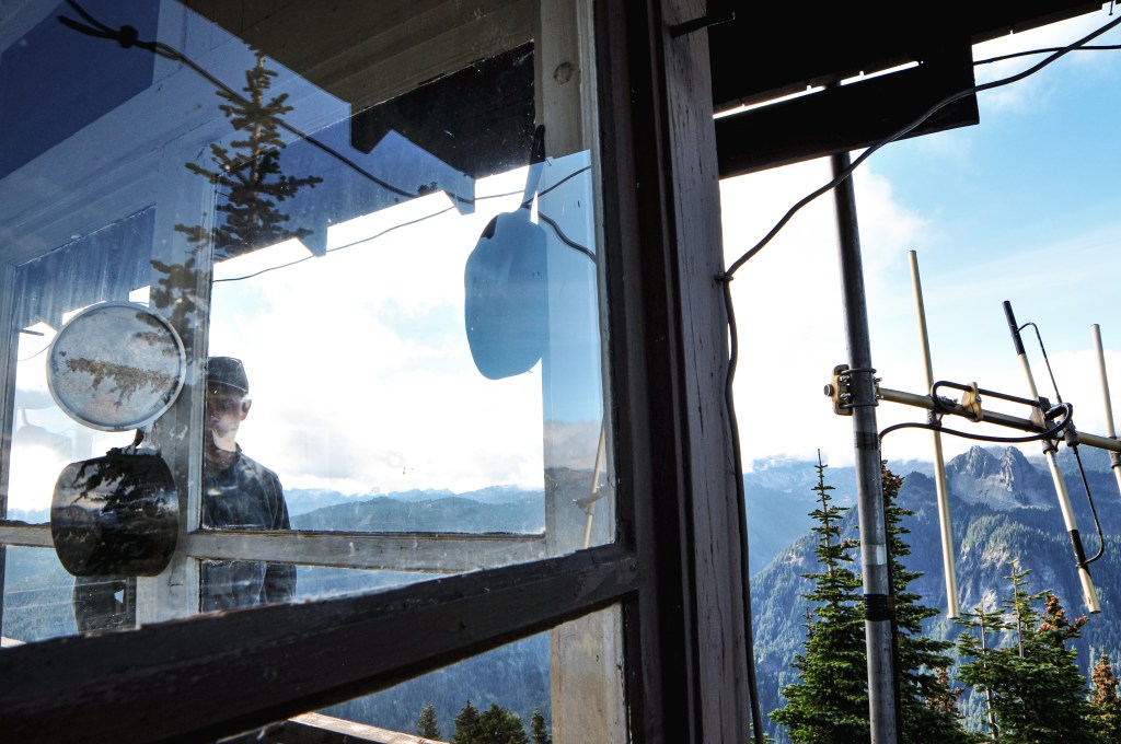
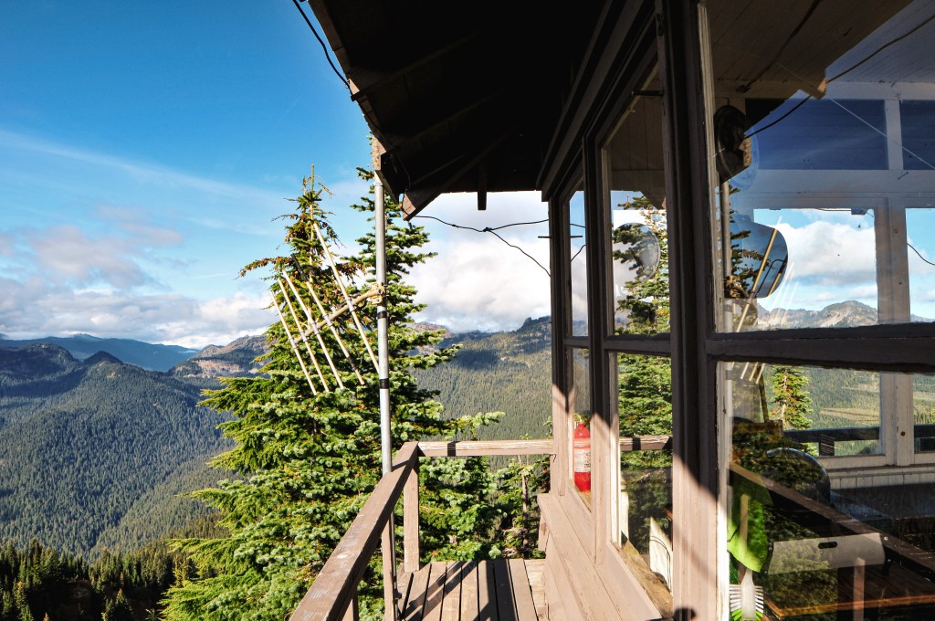
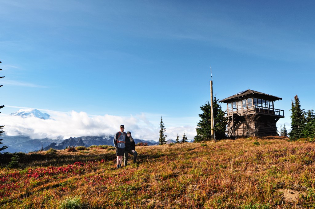
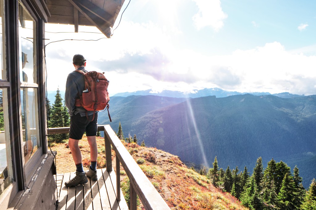
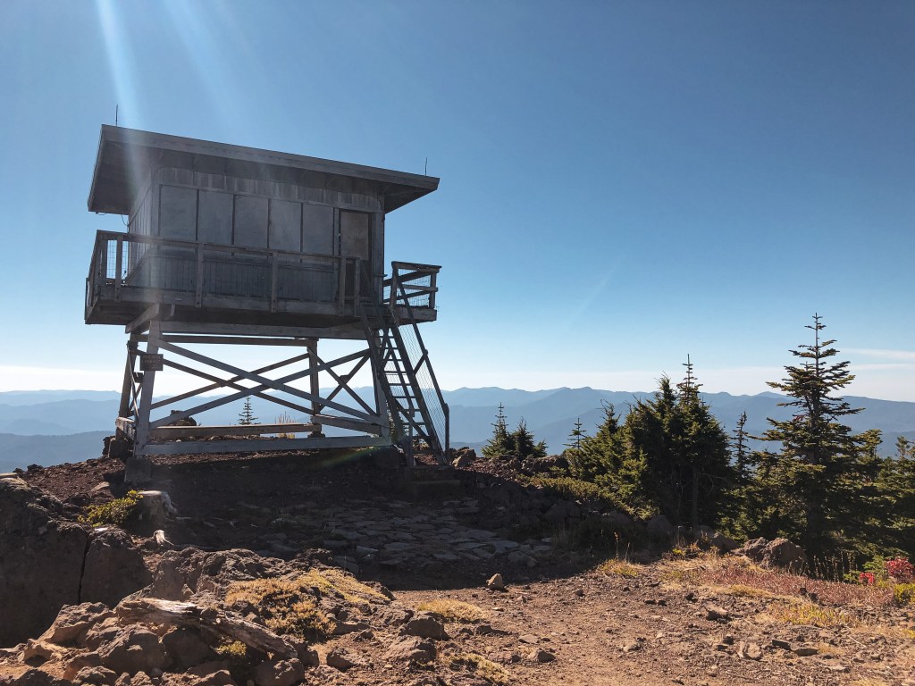
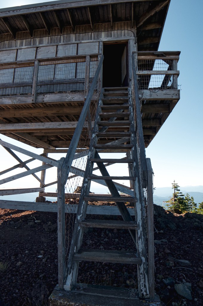
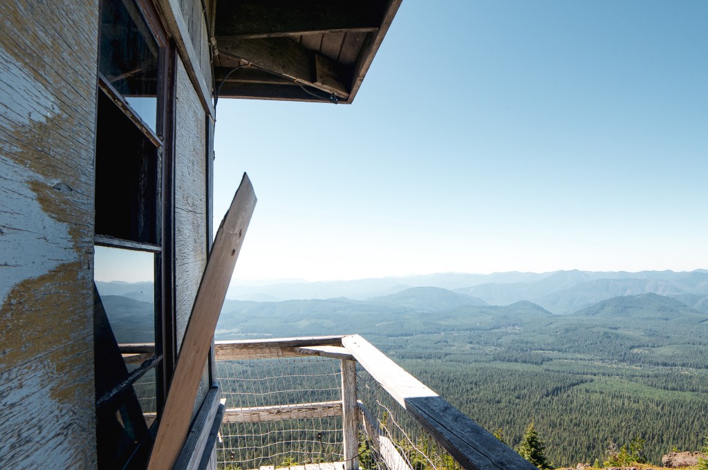
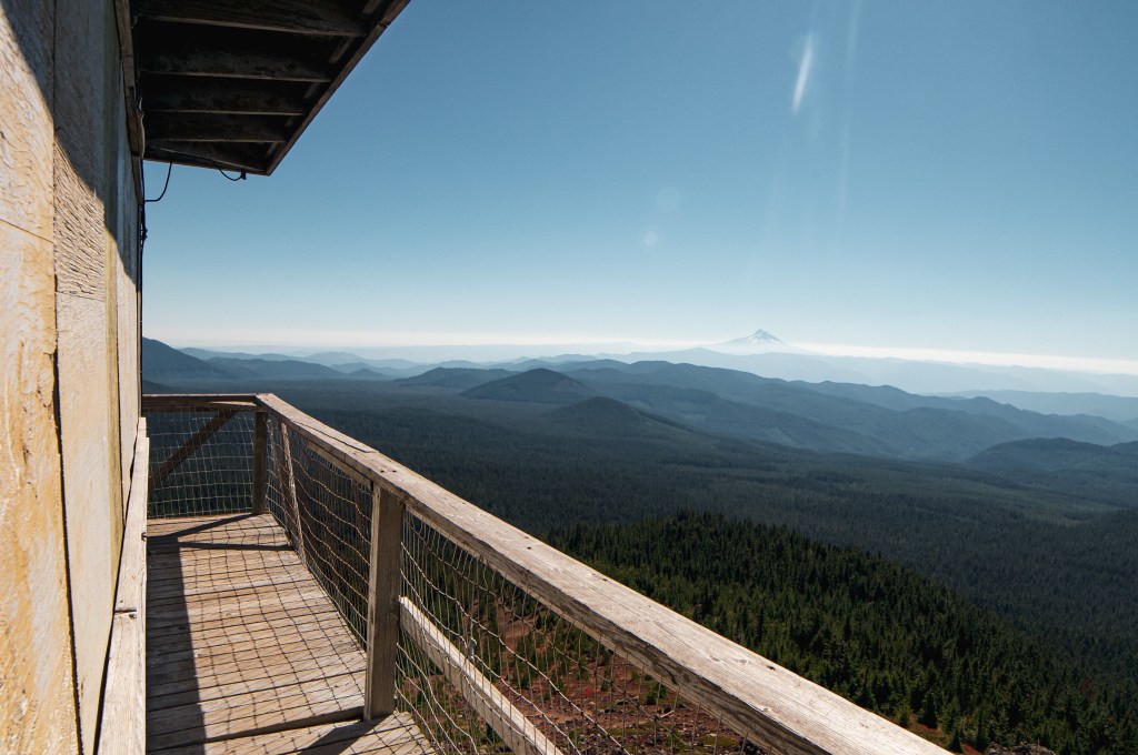
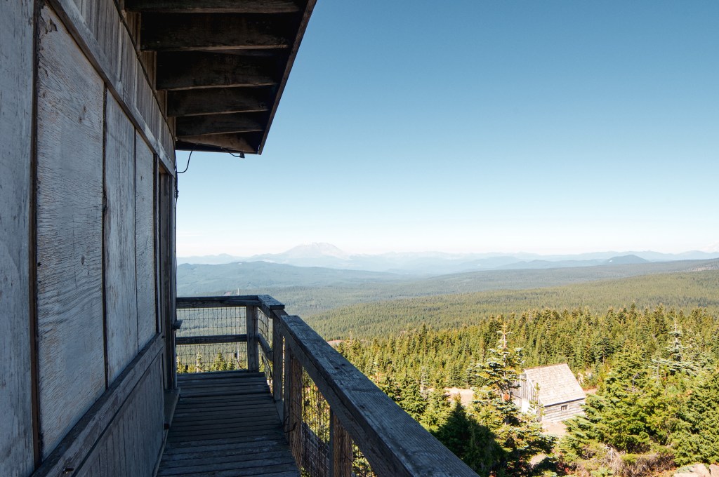
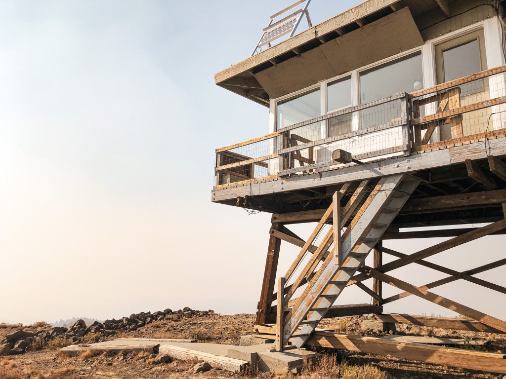
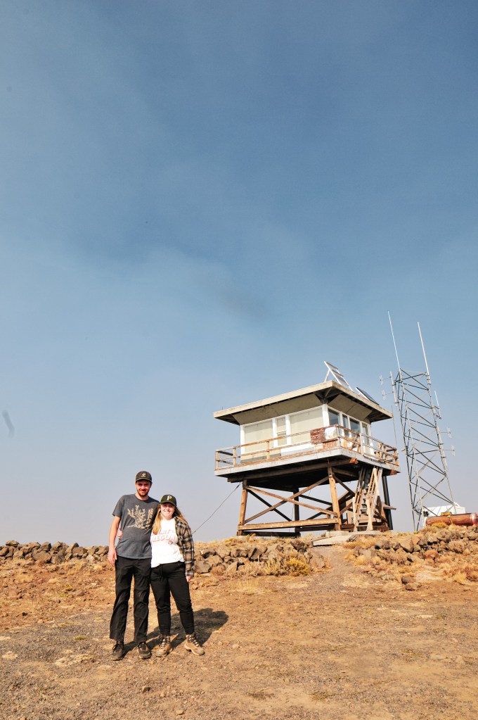
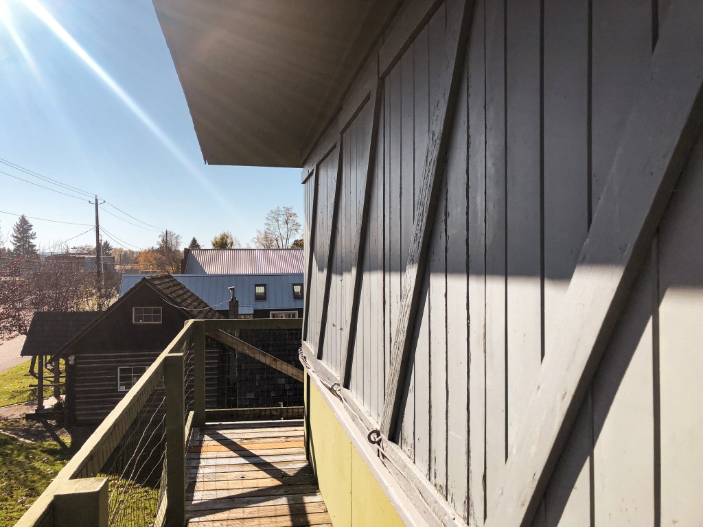
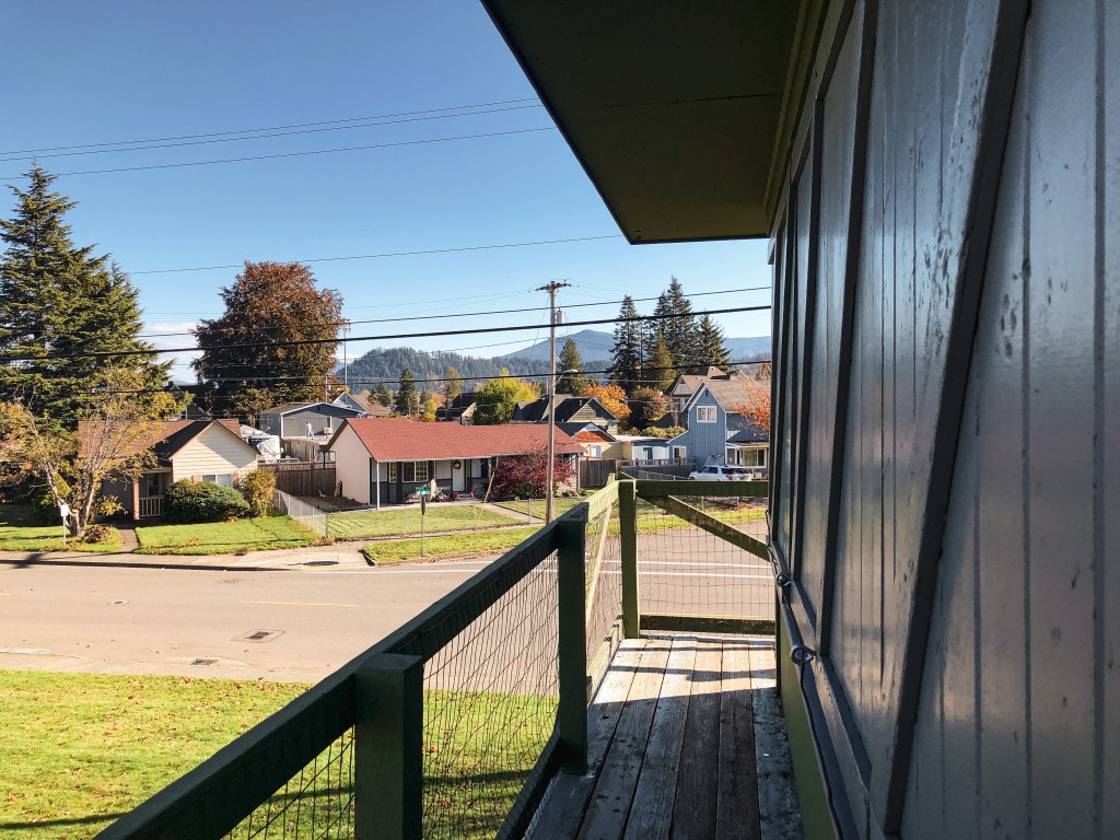
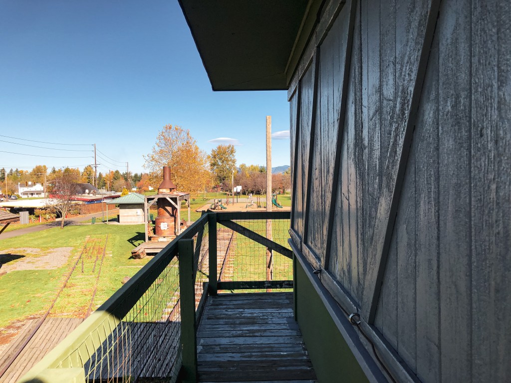
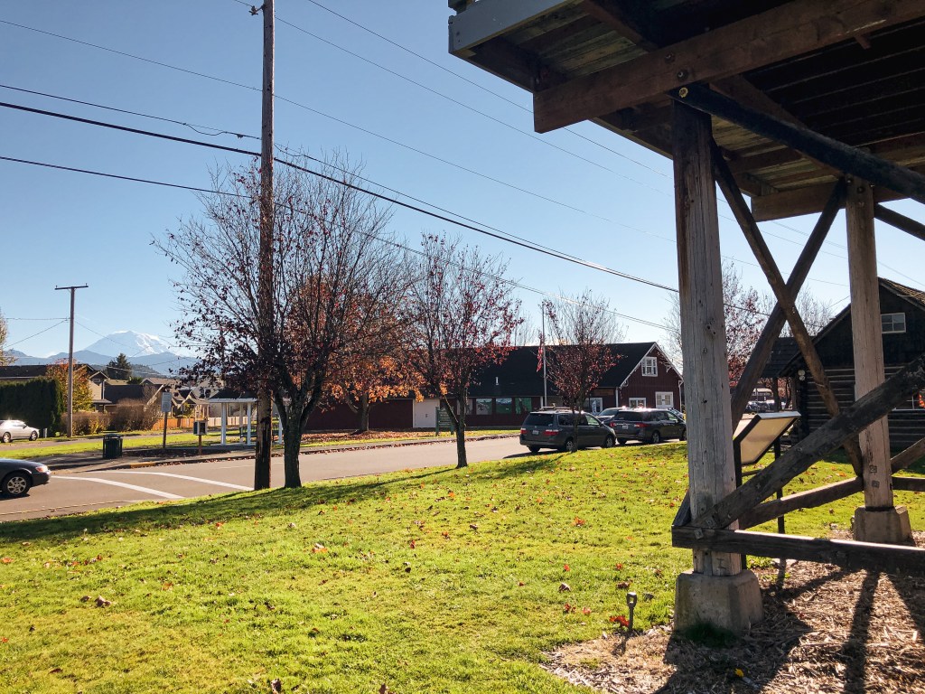
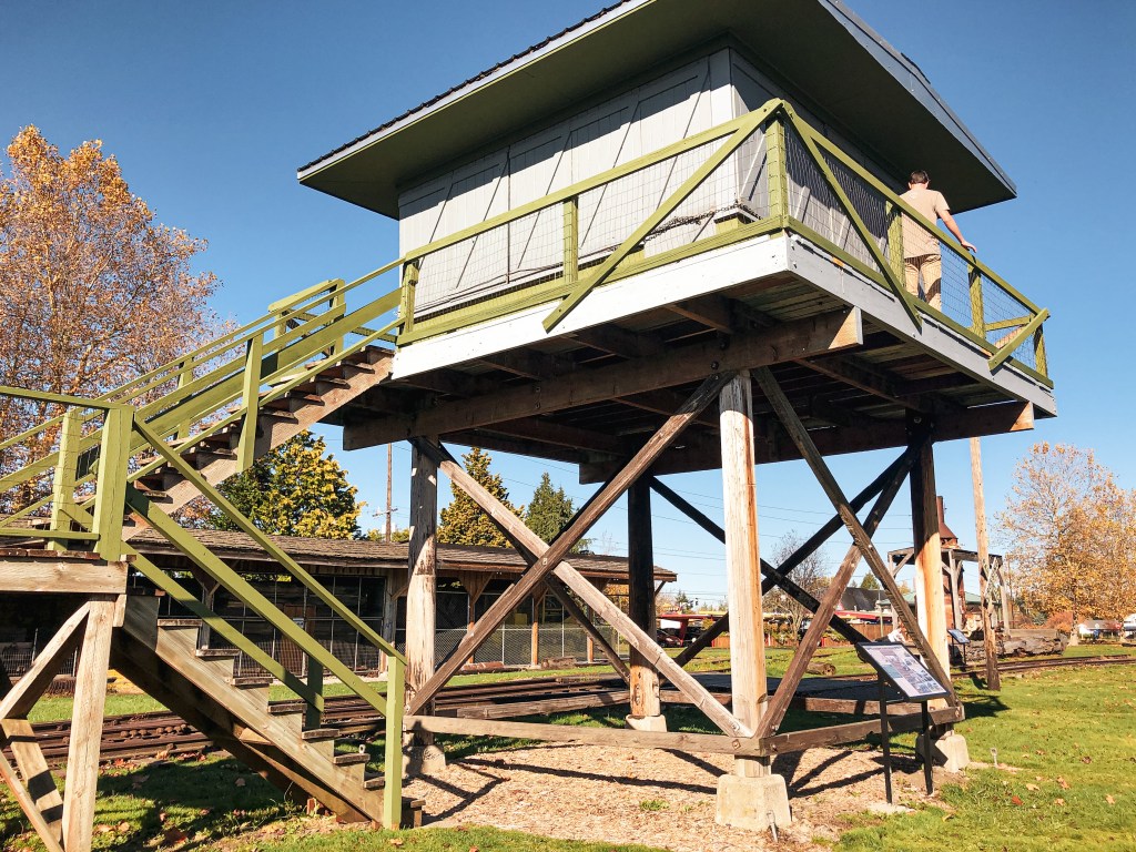
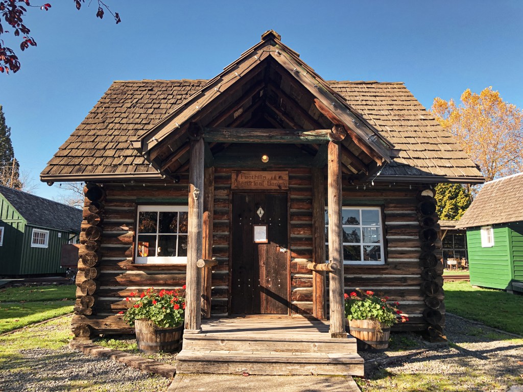
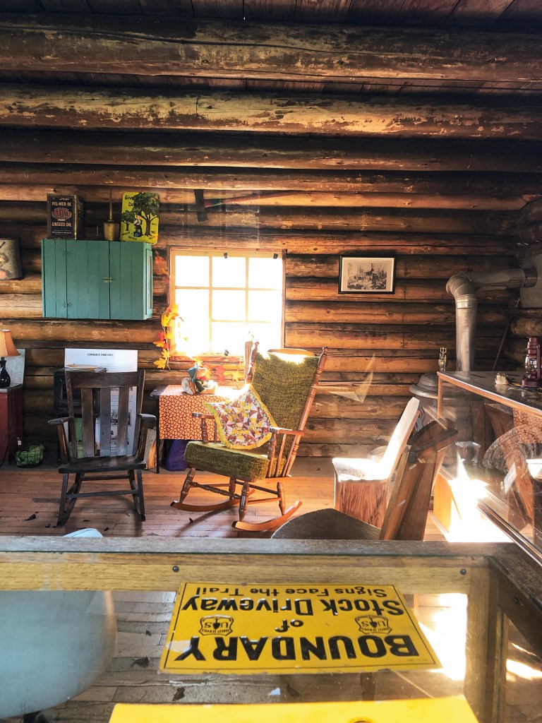
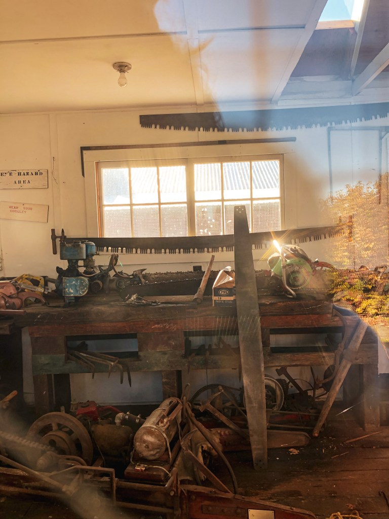
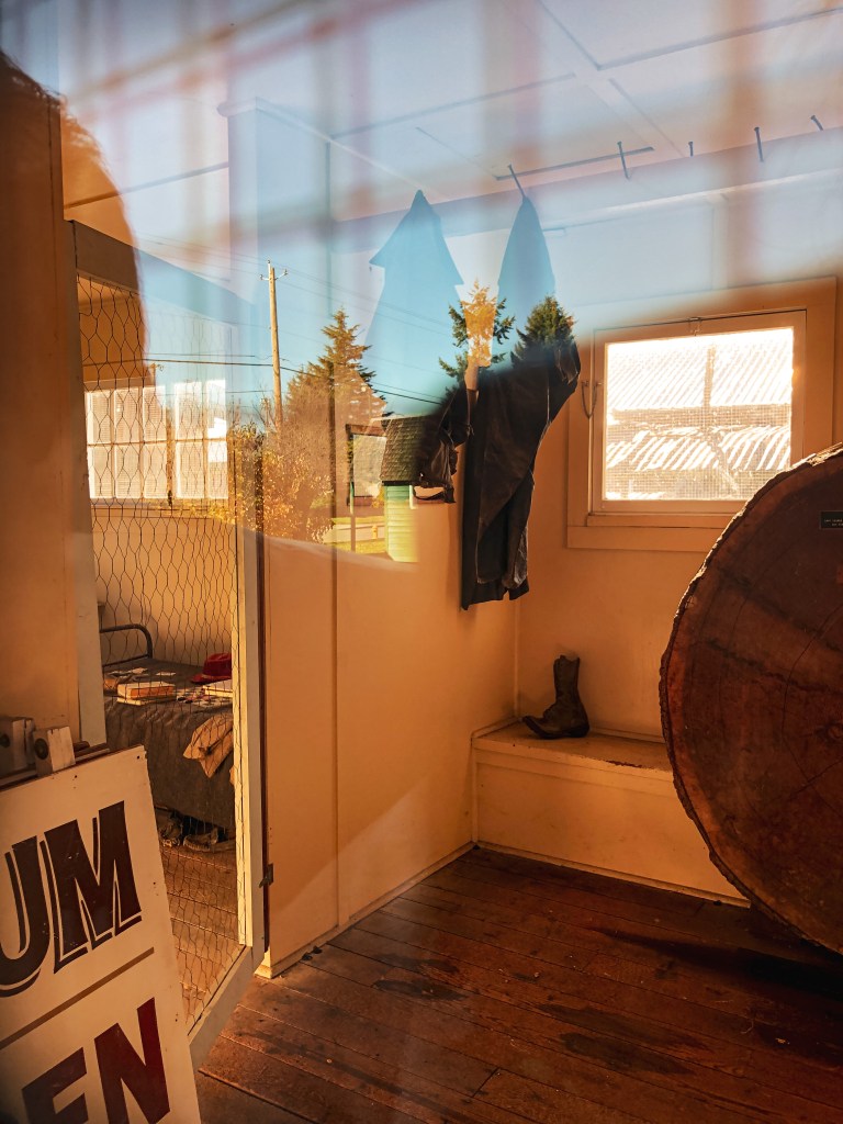
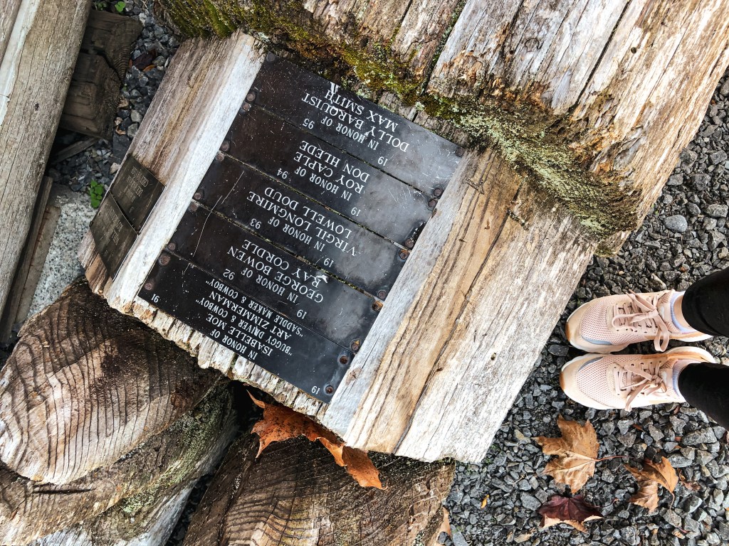
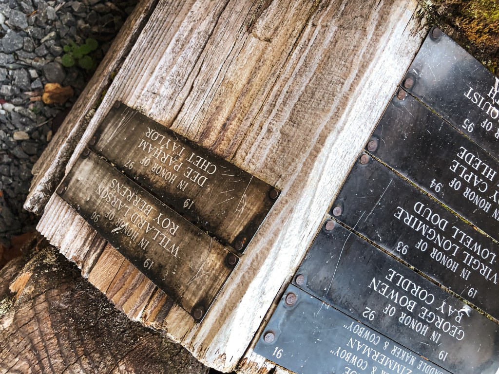
My partner and I decided to swing by the Foothills Historical Museum on our way home from visiting friends in Kirkland. It’s right off N River Avenue in the city of Buckley and easy to access. We parked on the street right across from Buckley Hall in front of the main museum building. The park that hosts these structures, Van Hoof Park, is across the street. You are welcome to climb the lookout tower and catwalk at anytime. The cab was shuttered and closed during our visit but I believe they open it during events and summer for visitors. The museum focuses on conservation of the history of Buckley and the surrounding Carbon River Corridor. The Foothills Historical Society that manages the museum is completely run by volunteers and financed through donations. Places like this are important for preservation and education. Please donate if you are able or visit their website to learn about getting involved!

History.
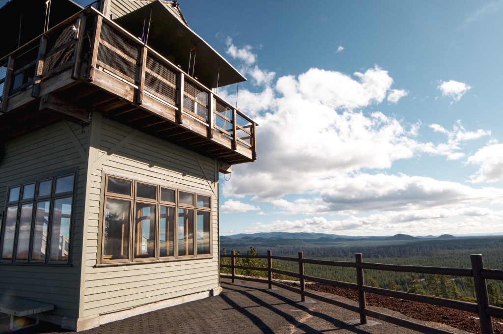
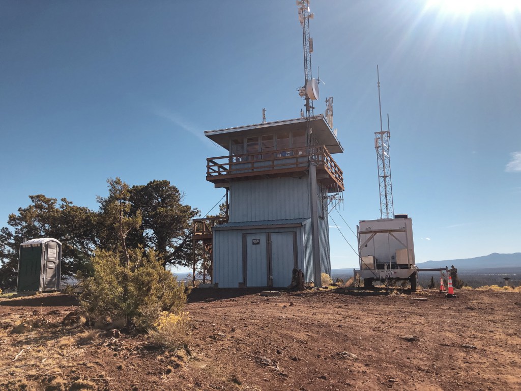
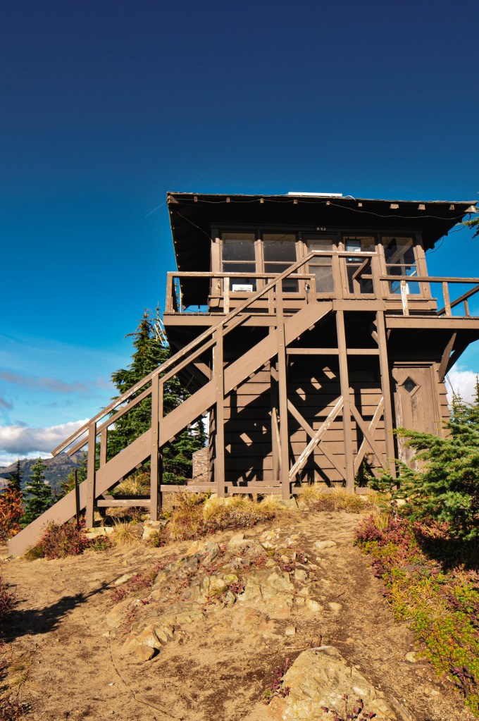
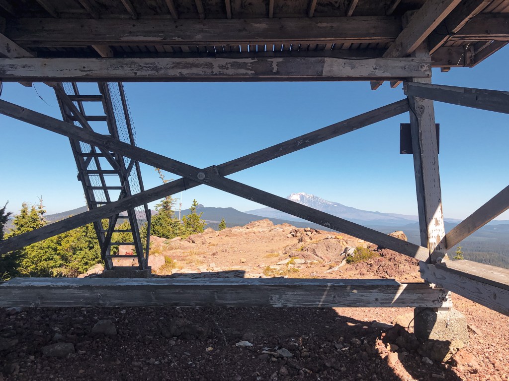
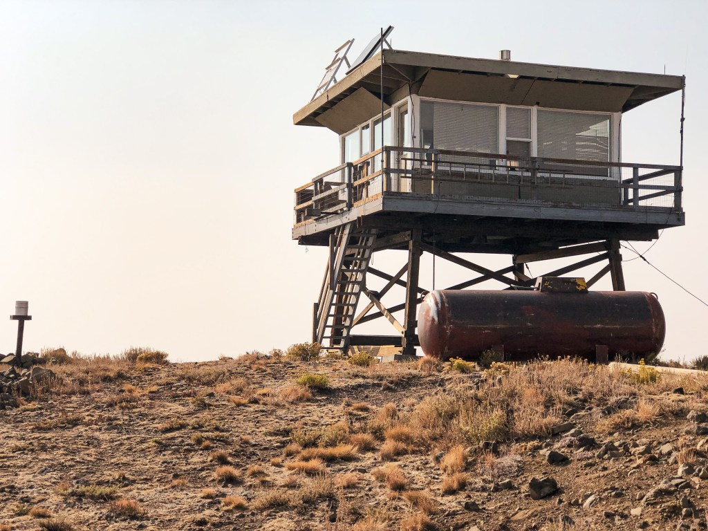
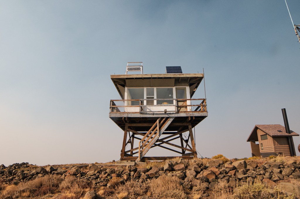
The Salmon River L.O. site was originally established in 1965 with a platform and trailer along Salmon River Ridge near Lake Quinault. In 1967, a 2-story live in cab was built on the summit and ran by the Washington Department of Natural Resources. It’s ownership was later transferred to the Quinault Nation after discovering it was built on their reservation land. They had believed it was just east of the boundary when the structure was originally built. In 2000, the Quinault Nation donated the structure to the Foothills Historical Society for preservation. The lookout was dismantled and then transported by pick up and flatbed trailers to its current location in Van Hoof Park. Volunteers and many locals helped rebuild the structure on a log tower with wooden steps instead of the original cinderblock.

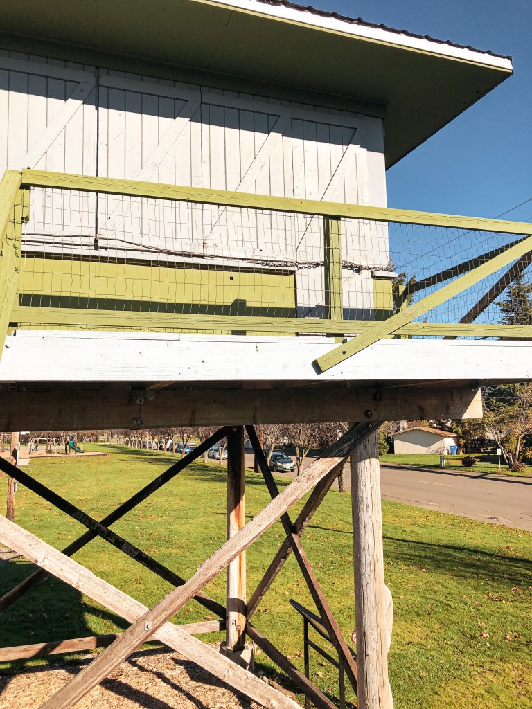
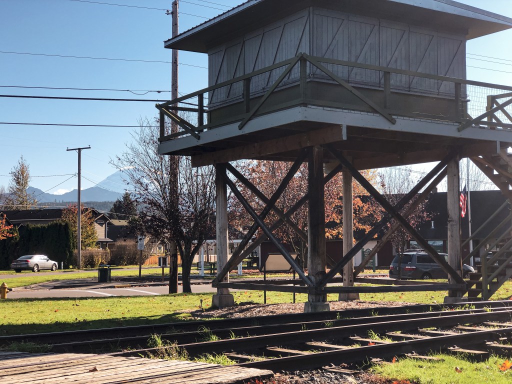
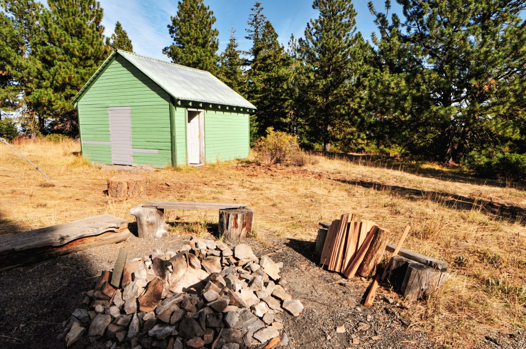
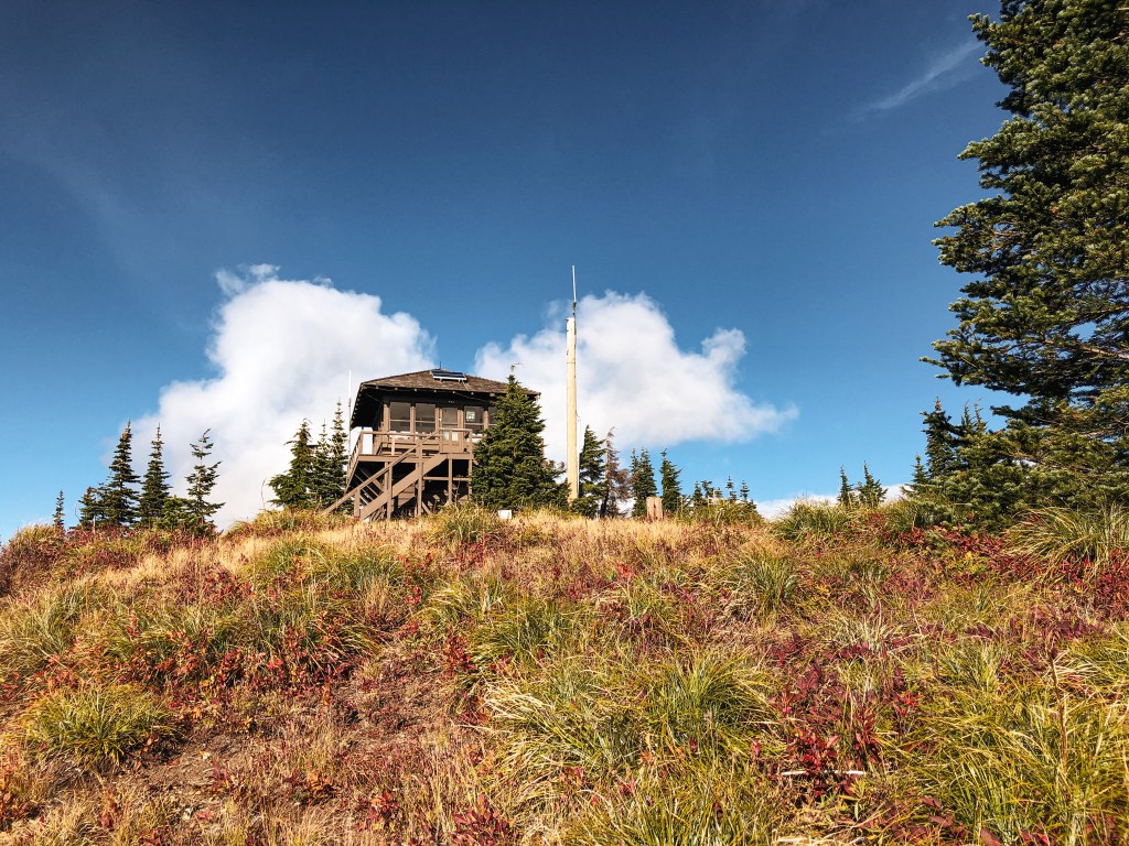
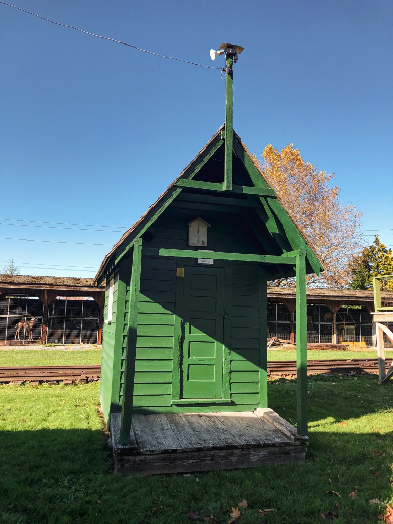
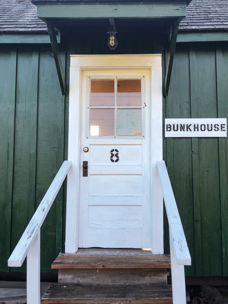
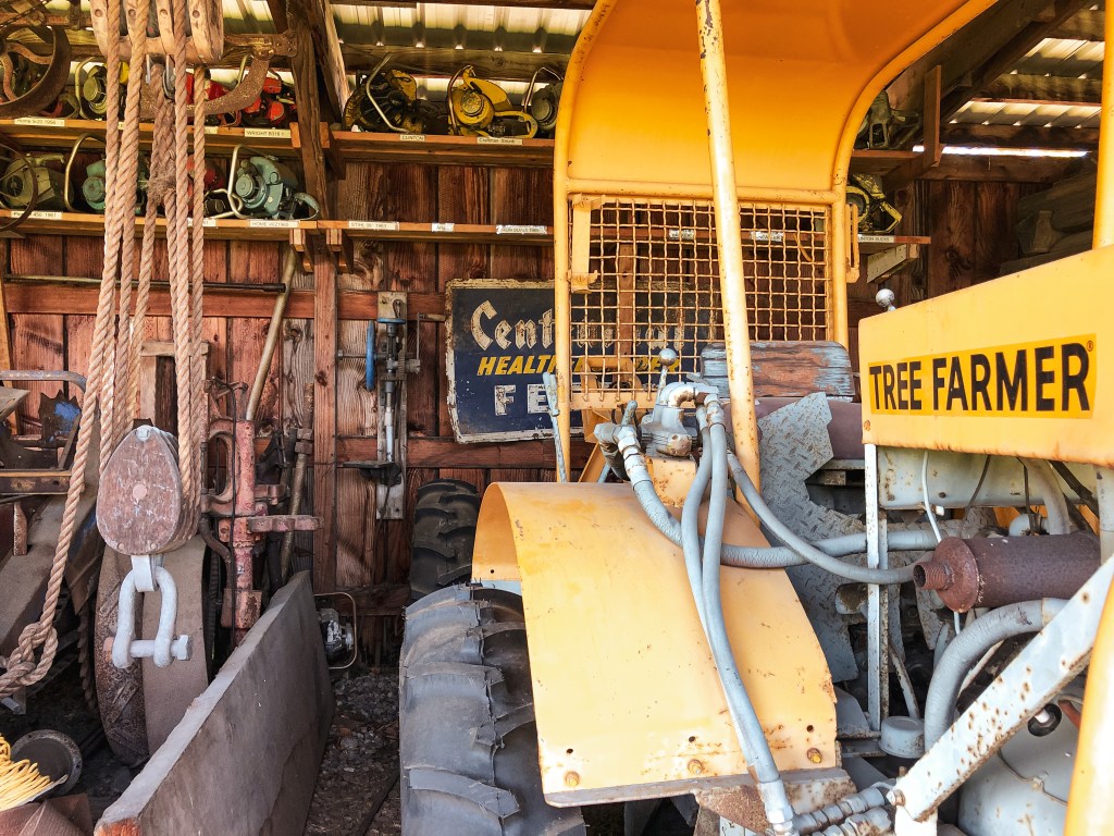
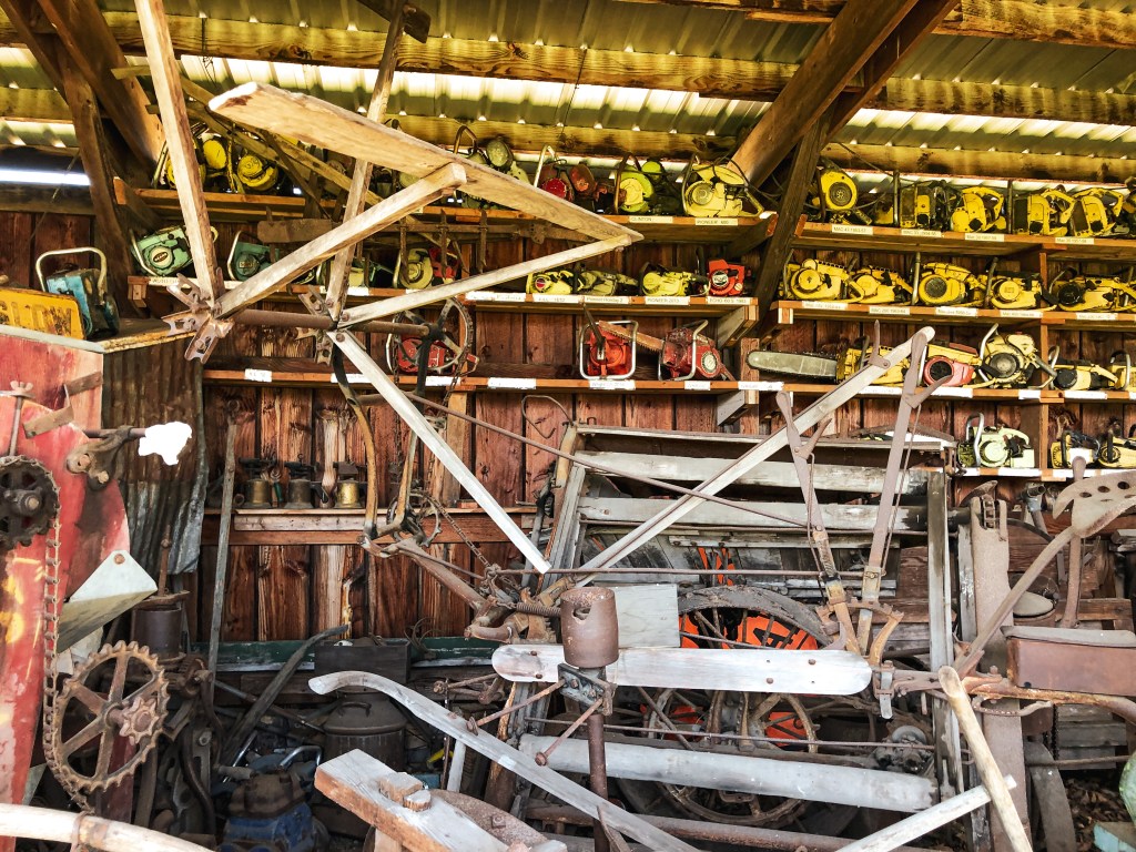
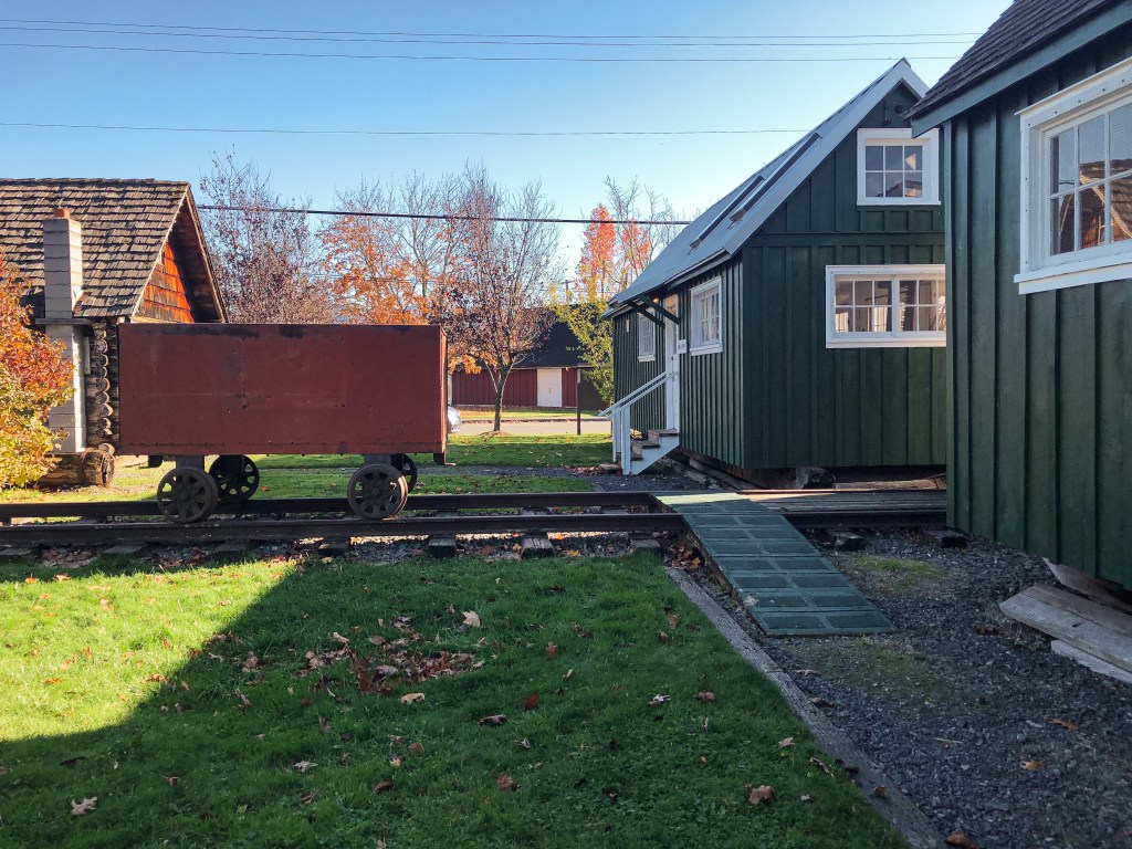
Next to the Salmon River L.O. is another observation structure that was built during World War II for aircraft spotting. It was originally located atop Huckleberry Mountain near Mule Springs. It was later used by fire patrols until it was moved to Buckley in 1991 by Southworth & Sons. Some other notable structures maintained on the property are a State Forest Ranger Cabin, 1870 Stiller Log Cabin, Lester Bunkhouse & Saw Shop, Blacksmith Shop, Steam Donkey, and Lester RR siding.


More Information.