Location.
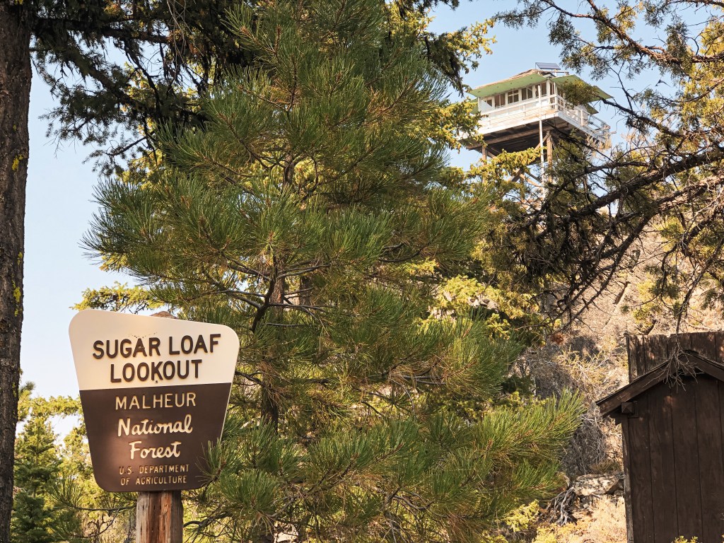
Malheur National Forest
Status.
Abandoned; Currently standing
Estimated drive time from Portland, OR.
6-1/2 hours
Date visited.
May 27, 2022
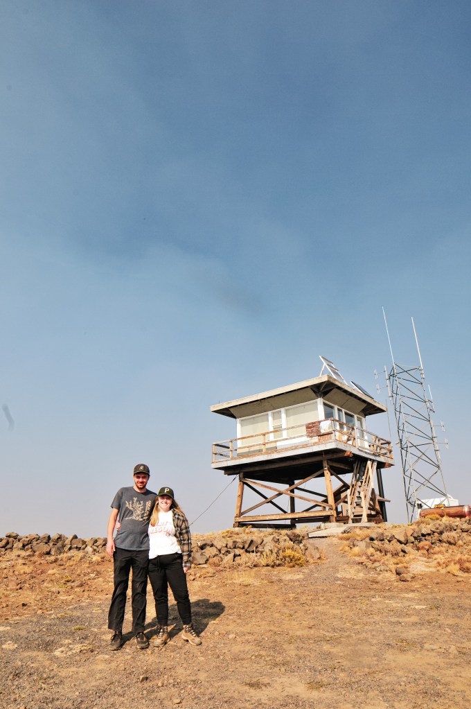
Elevation.
6,290′
National Historic Lookout Register.
US 456; OR 59

Trip Report.
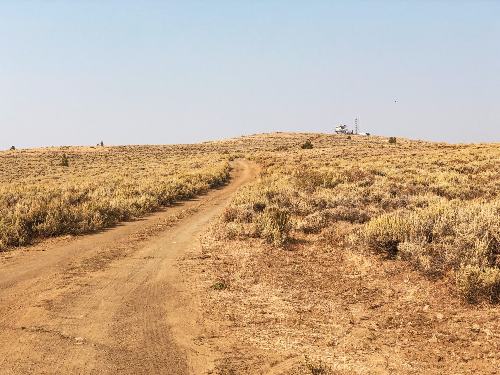
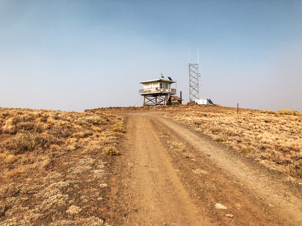
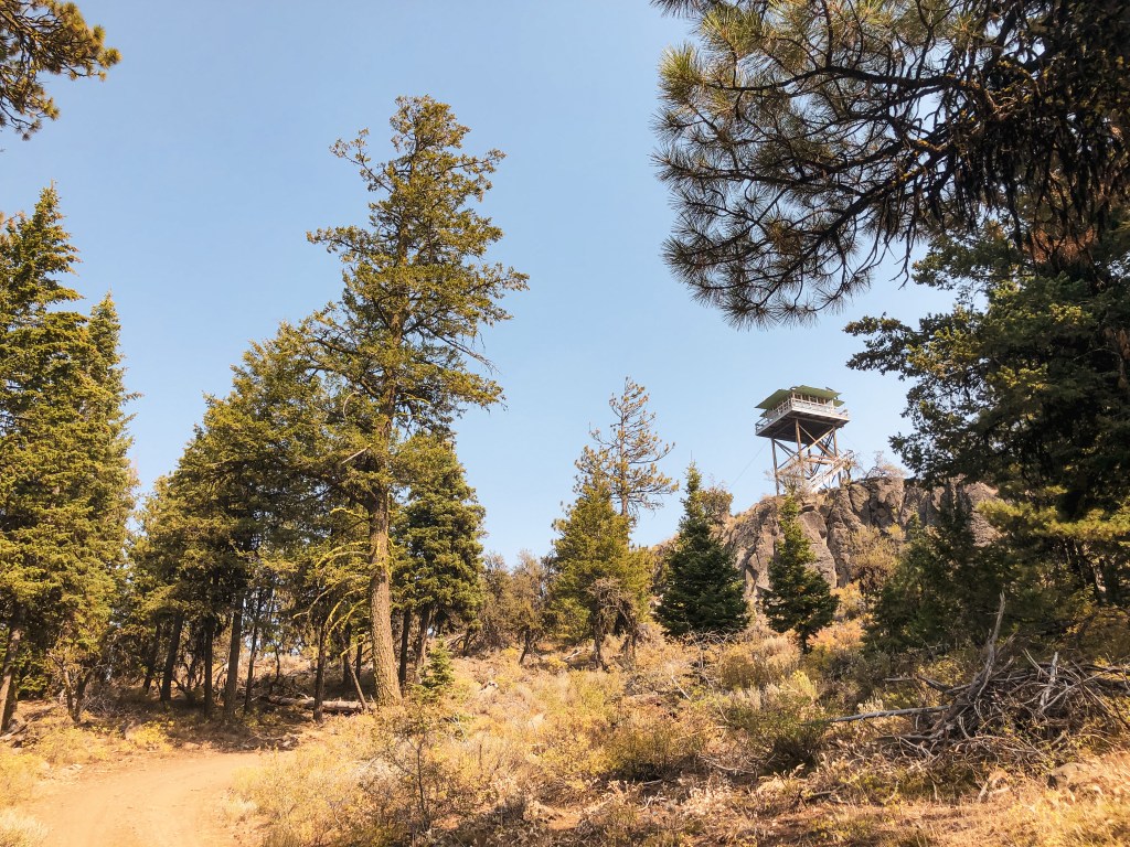
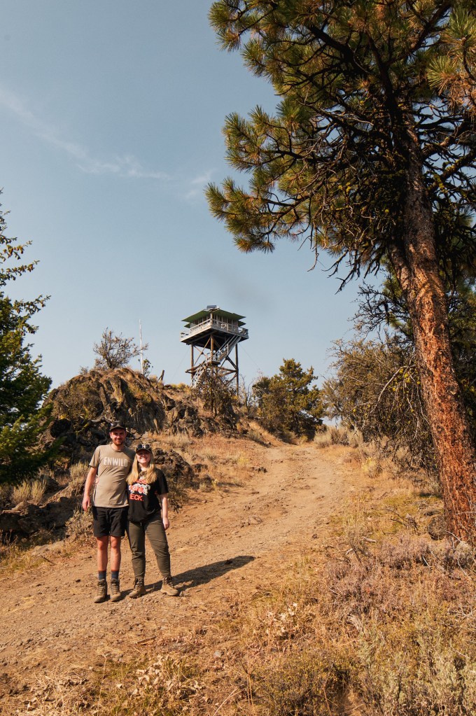
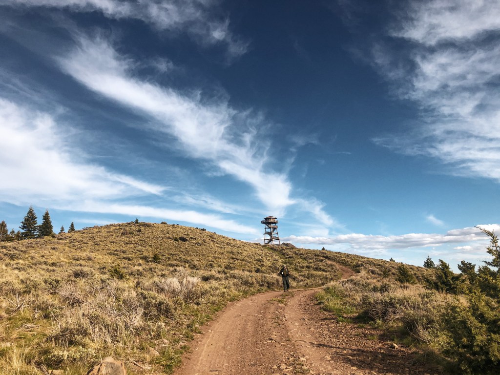
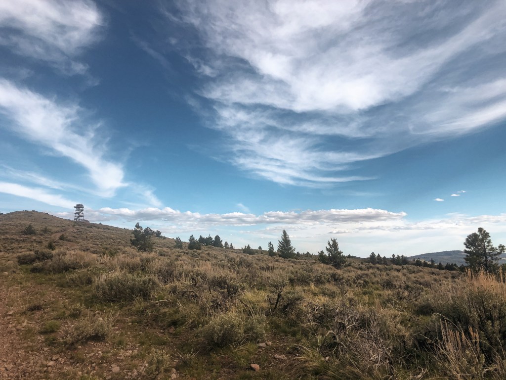
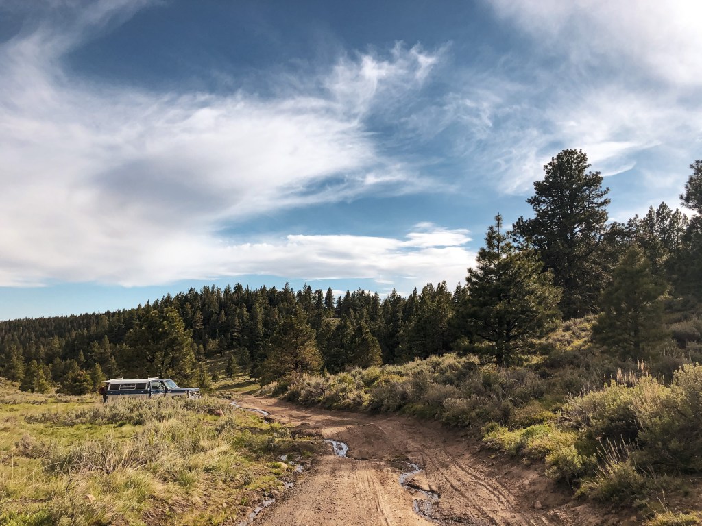
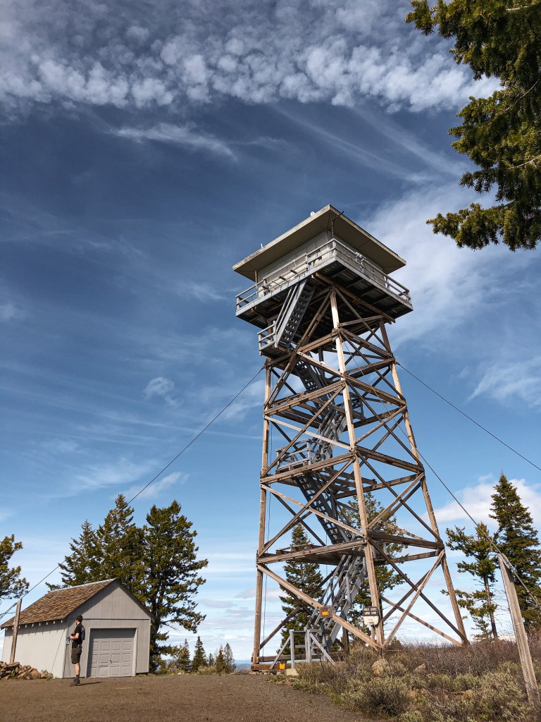
We headed deeper into the forest on NF-15 after a successful visit to Dry Soda L.O. (post) You will stay on NF-15 until you reach the major junction with NF-16. Take a left on to NF-16 and then eventually a right on to NF-1630 that is only a short drive from the junction. NF-1630 is another well maintained gravel road with no hazards for low clearance vehicles. Good gravel, great gravel even! It’s better than some paved roads in Portland. The gravel looked very fresh and we speculated that it was possibly recently re-graded. You will stay on this road for a while until you reach the spur NF-849. It will be hard to miss because there is a sign for Frazier Point L.O. It is only another mile down NF-849. Most cars can make it the majority of the way on this spur. We decided to stop less than half of a mile from the lookout and walk due to some larger rocks in the road and wet conditions.
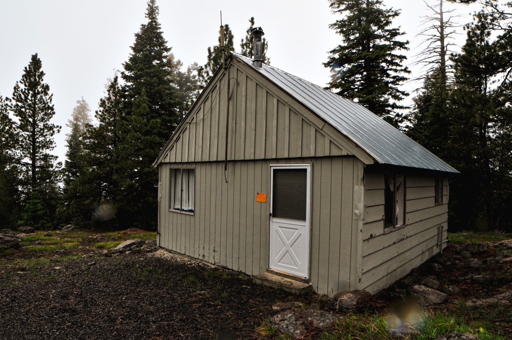

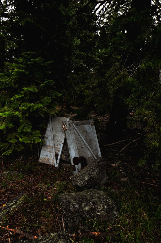

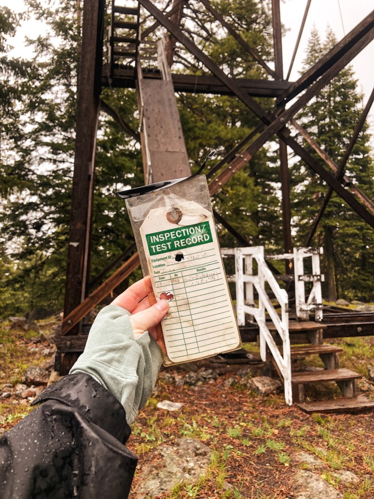
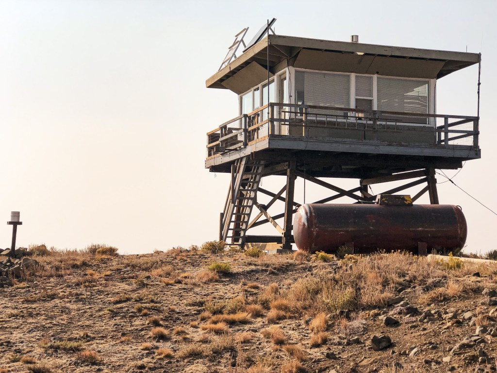
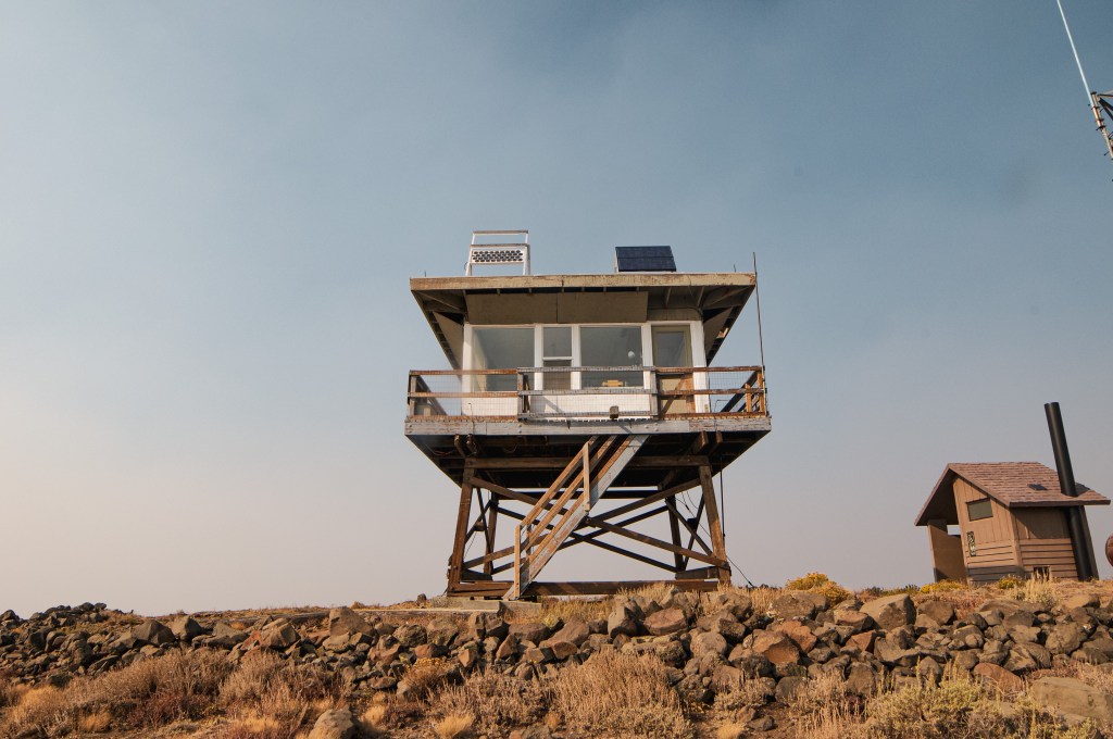
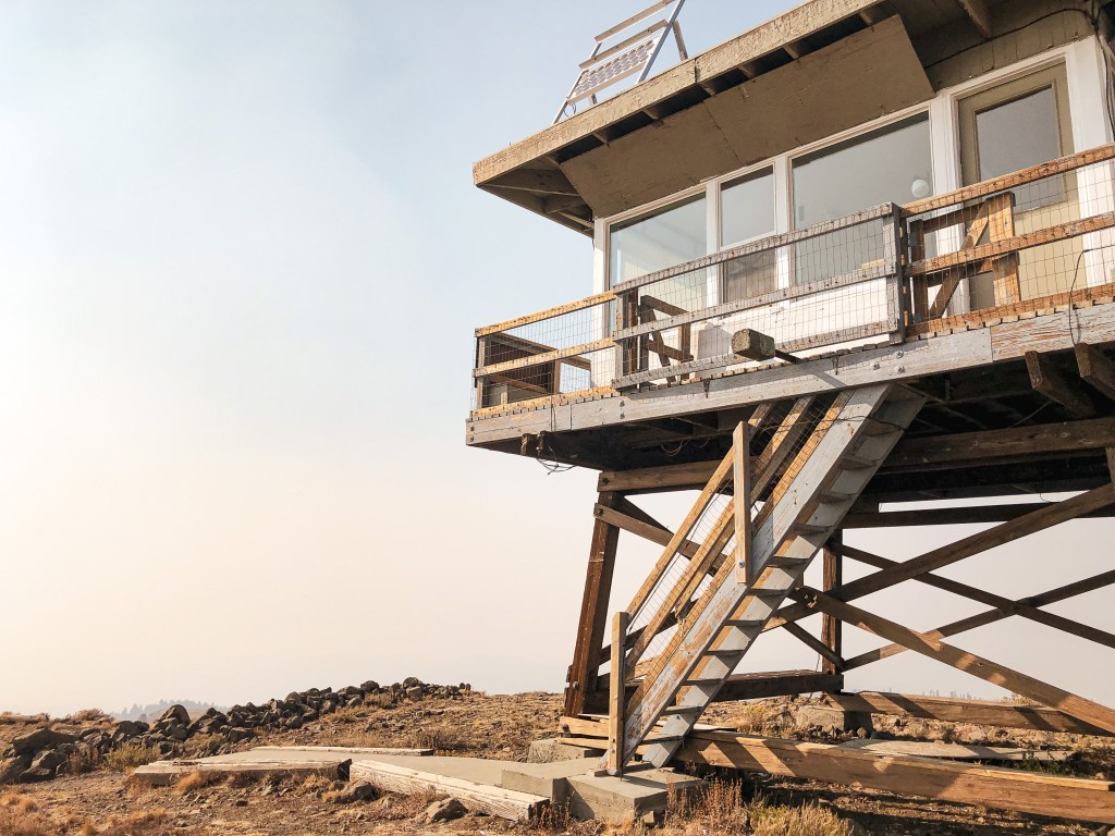
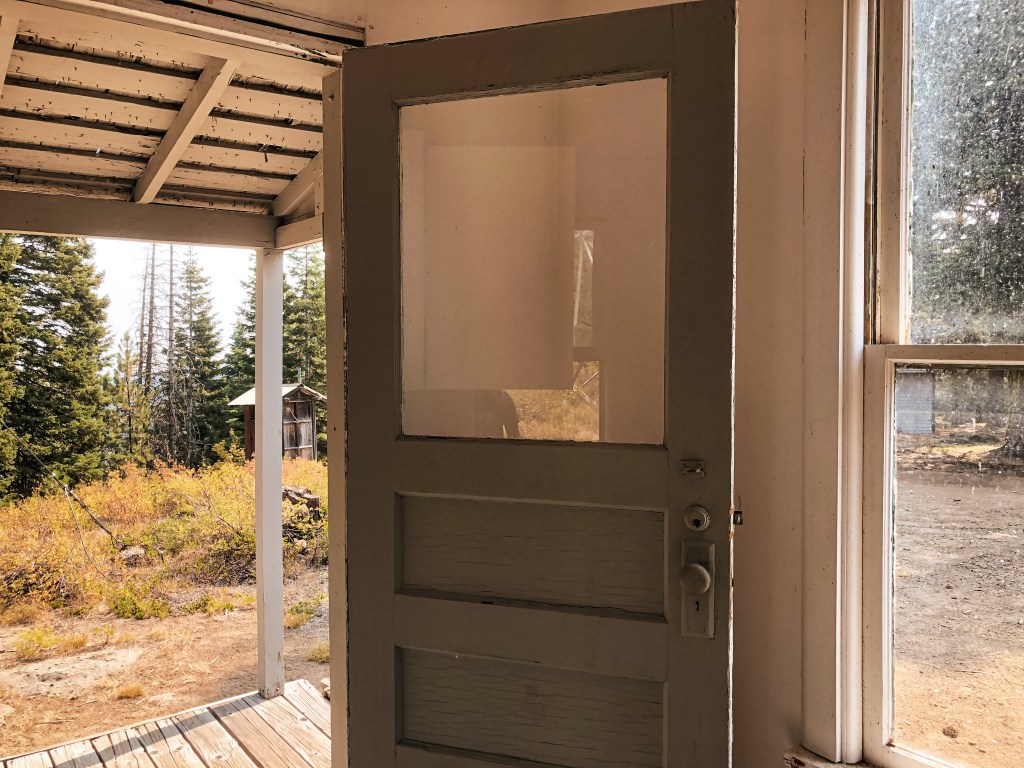
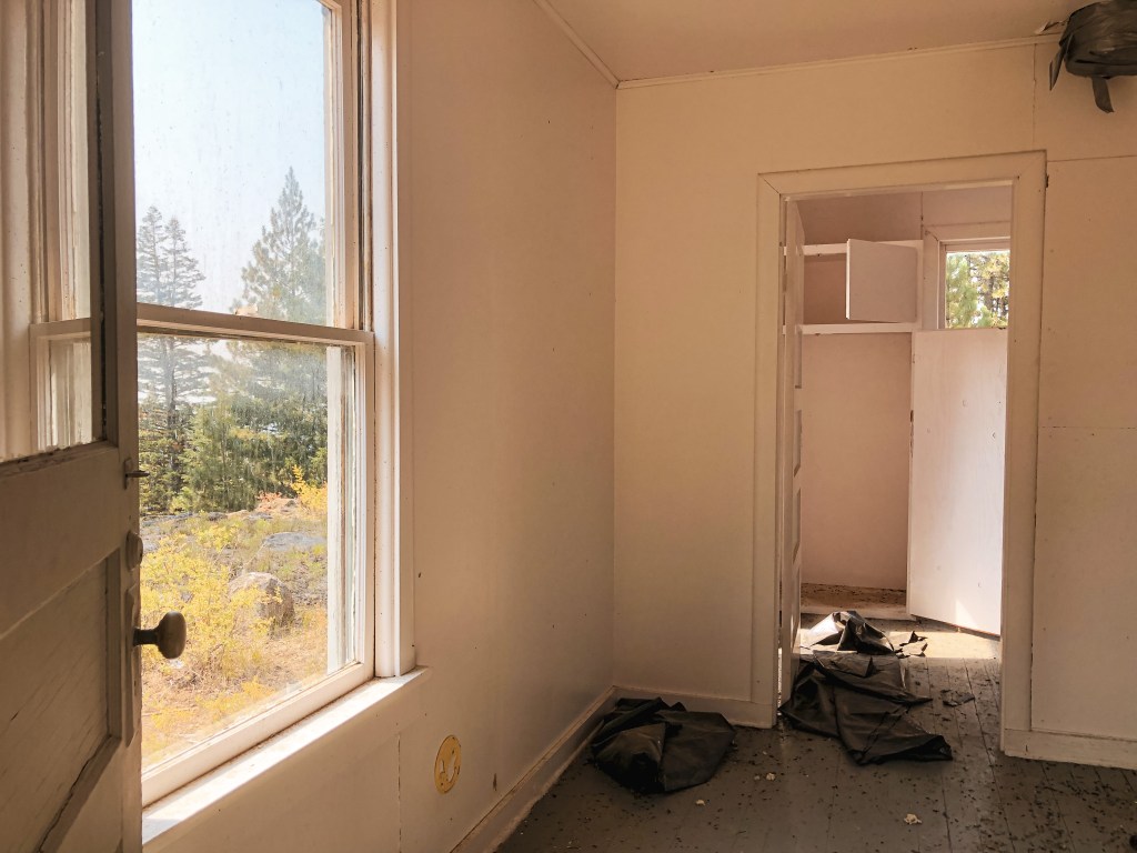
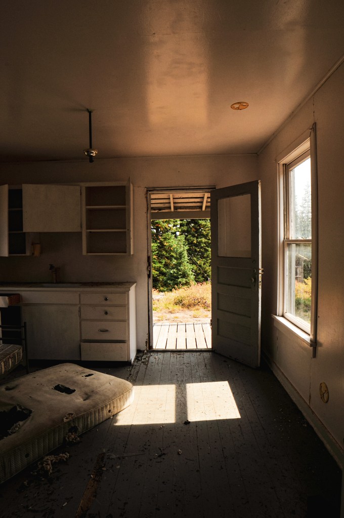
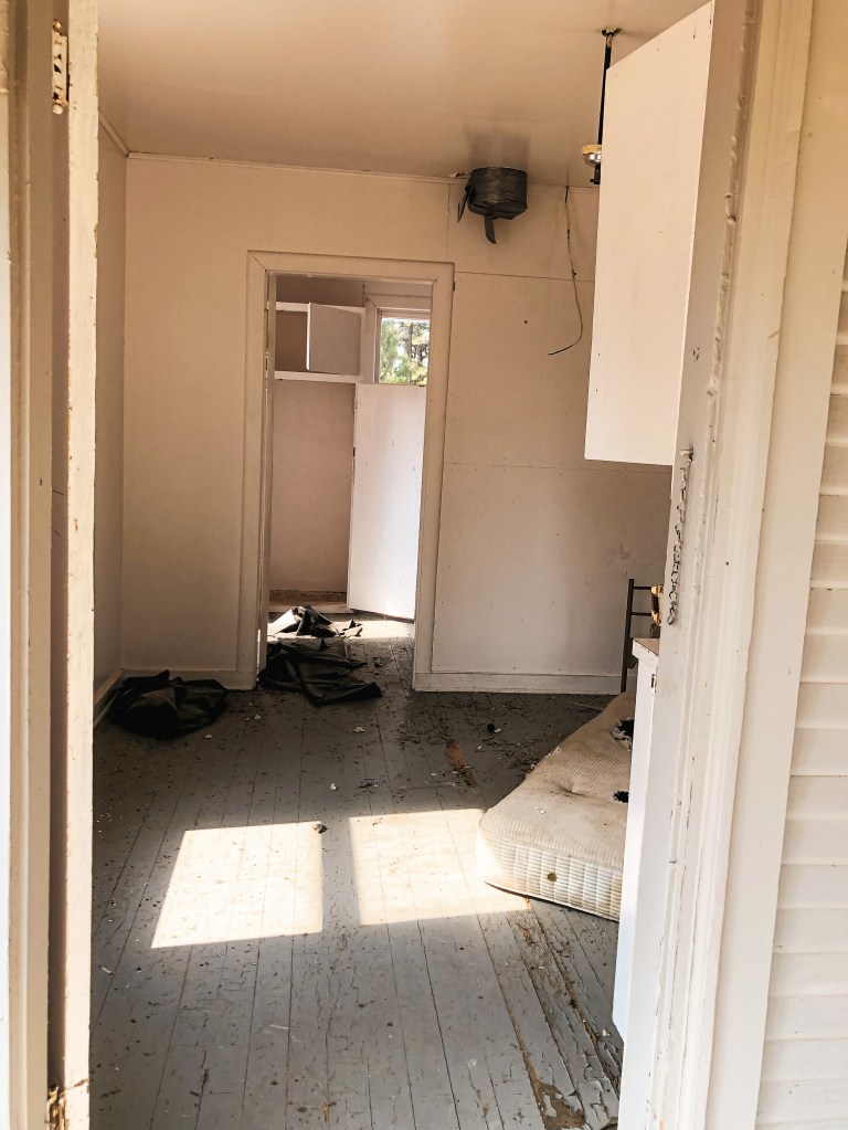
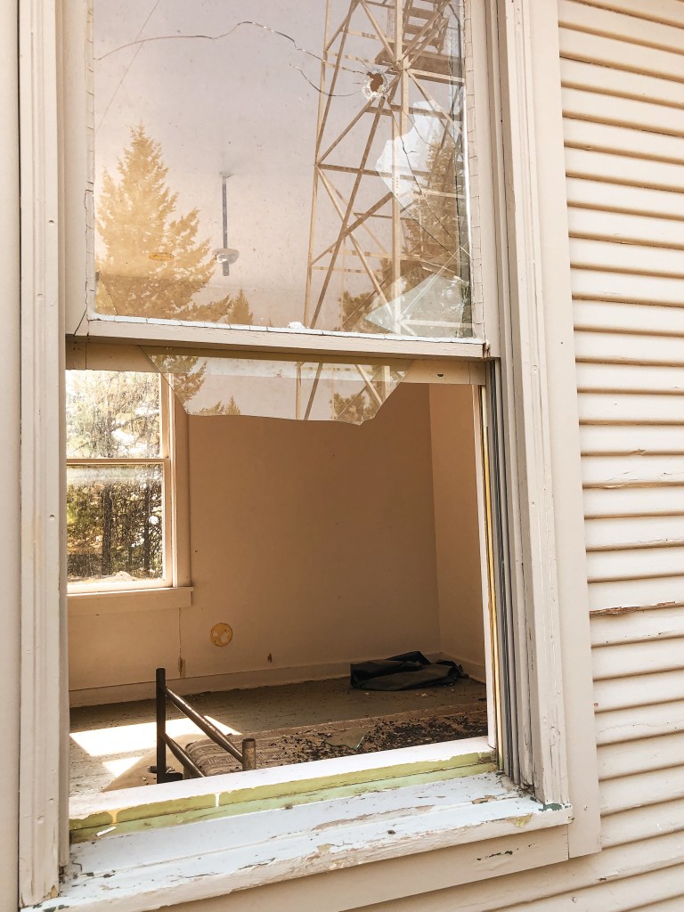
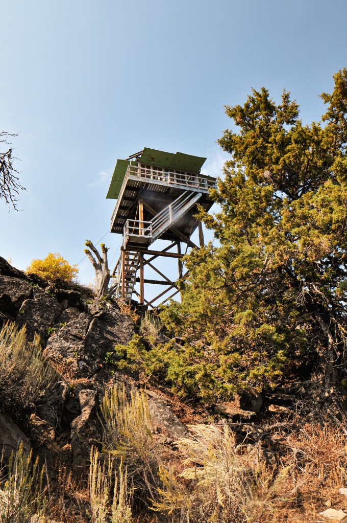
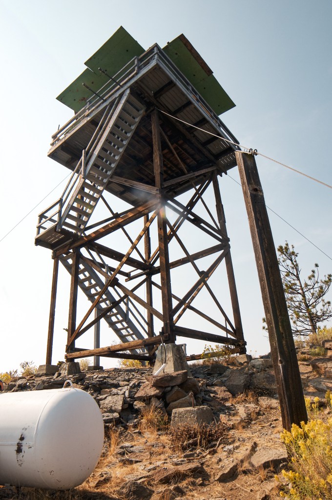
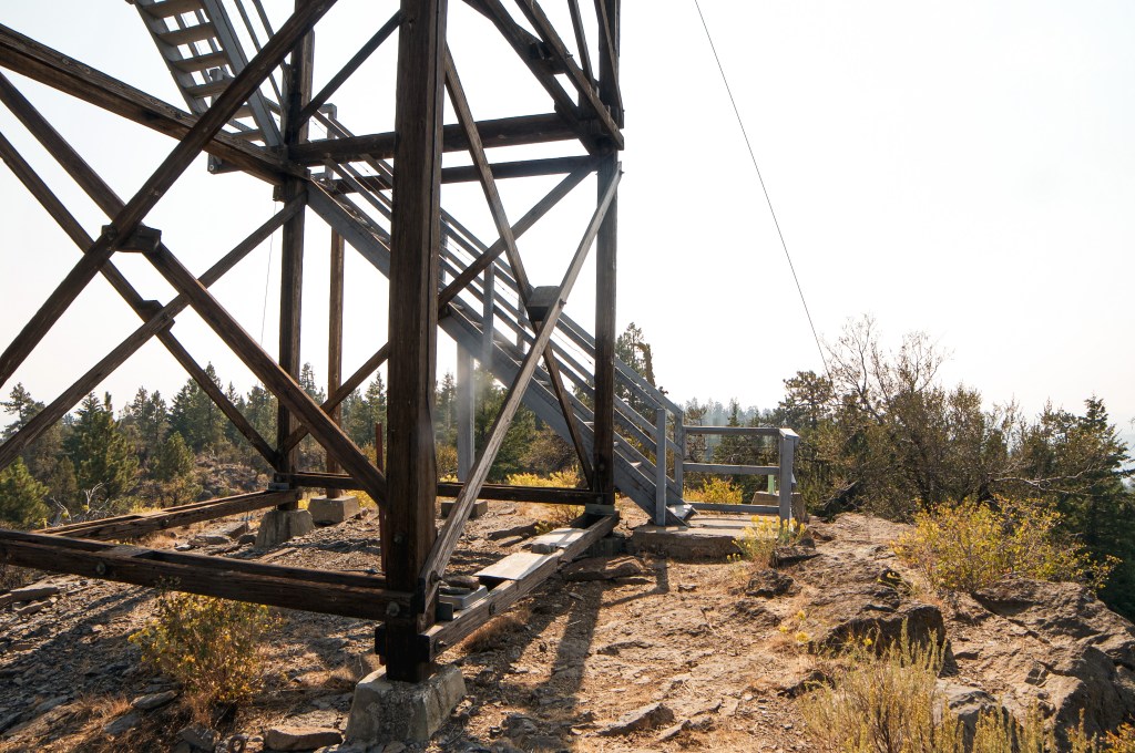
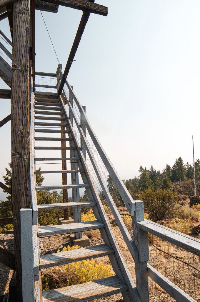
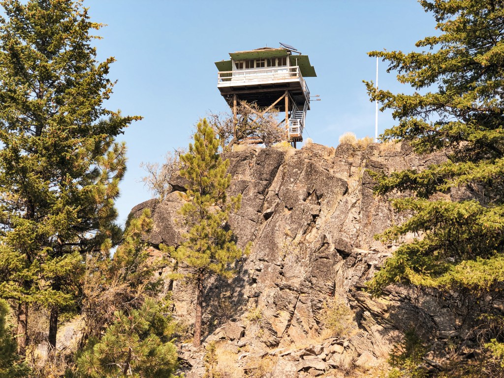
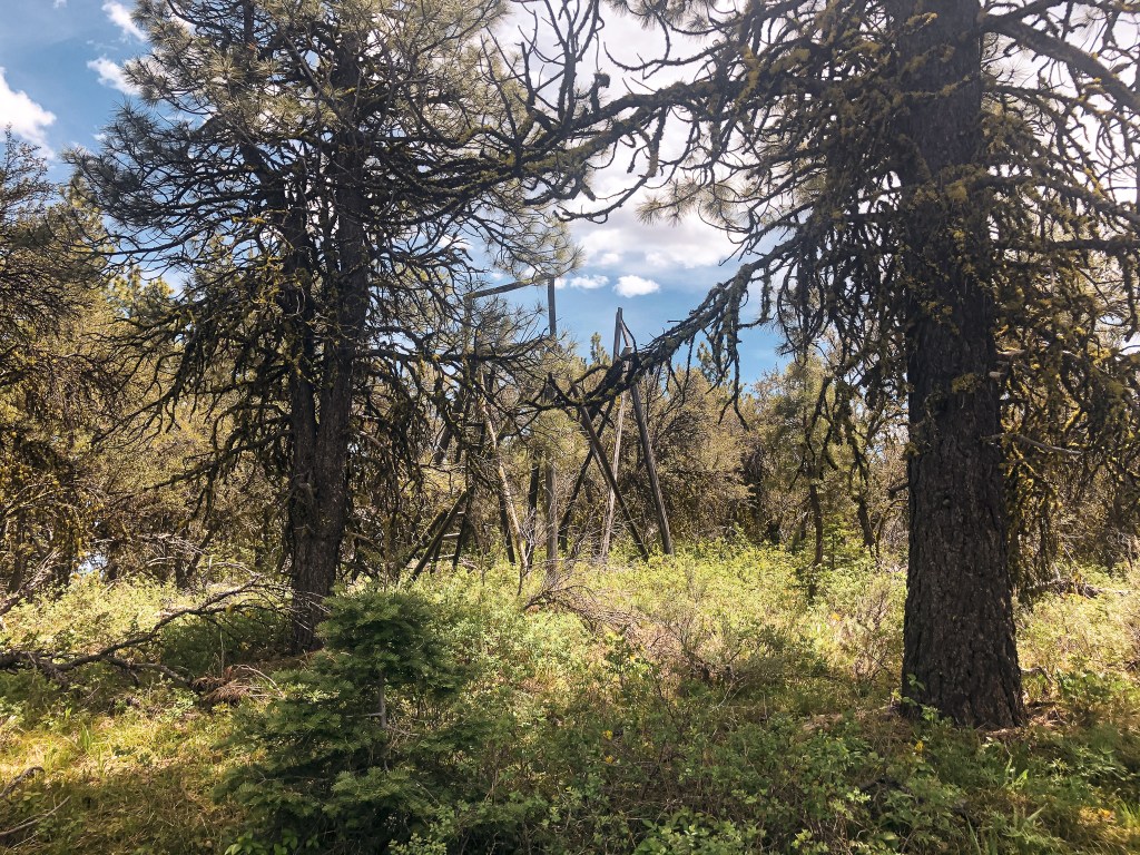
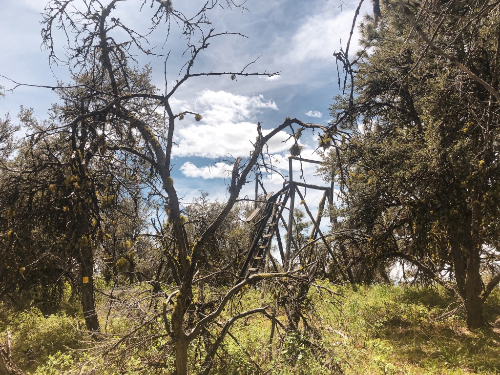
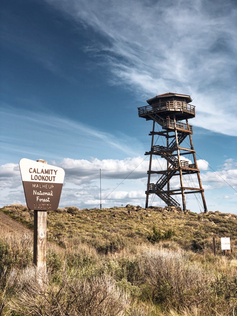
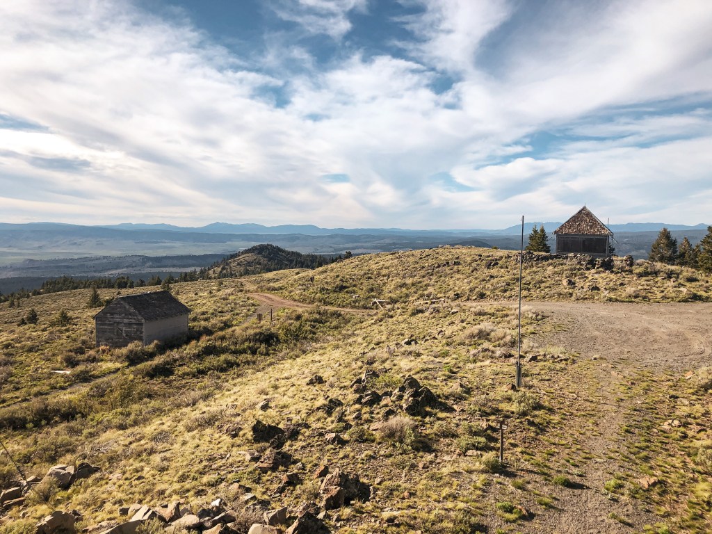
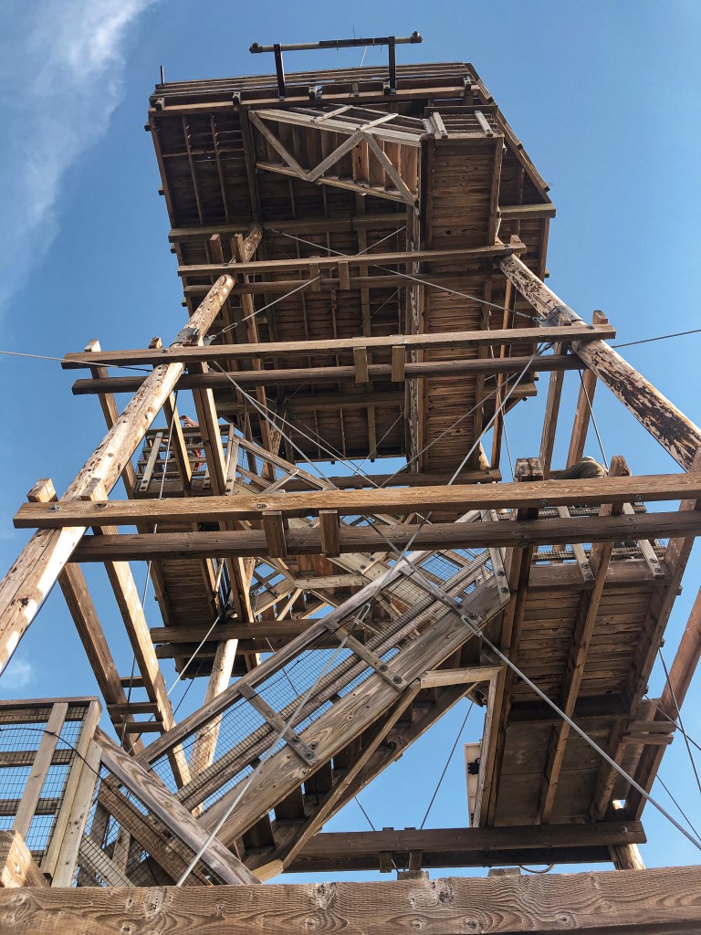
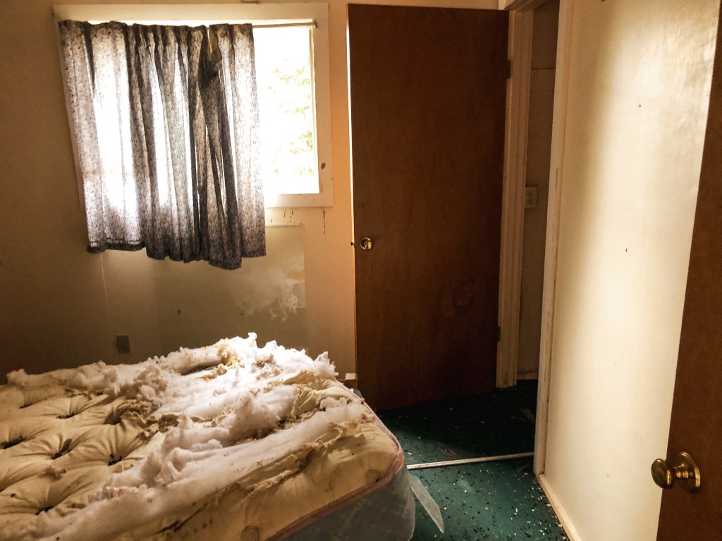
The lookout and living quarters are not in the best condition and the stairs have been boarded to prevent people from climbing the tower. The trees are tall here so you don’t get any views from the ground. This was fine considering we were socked in a rain cloud anyway. The cabin used for living quarters was unlocked and still had some items left inside; a table, bed frame, mattress, pot holders, and even a pan. I wanted to check out more in the bedroom but there seemed to be a nest of wood rats cozied up in the old mattress and some of the kitchen cabinets too. My partner hates rats and rodents of any kind, so he decided not to come inside the cabin. We said our good byes to the lookout before heading out to find a camp spot. Since it is listed for decommission by the Forest Service, we are never sure if we’ll be back before they tear it down. I’m always hopeful someone with more resources and money can restore or relocate these lookouts instead of having them torn down. And maybe one day I’ll be one of those people.


History.
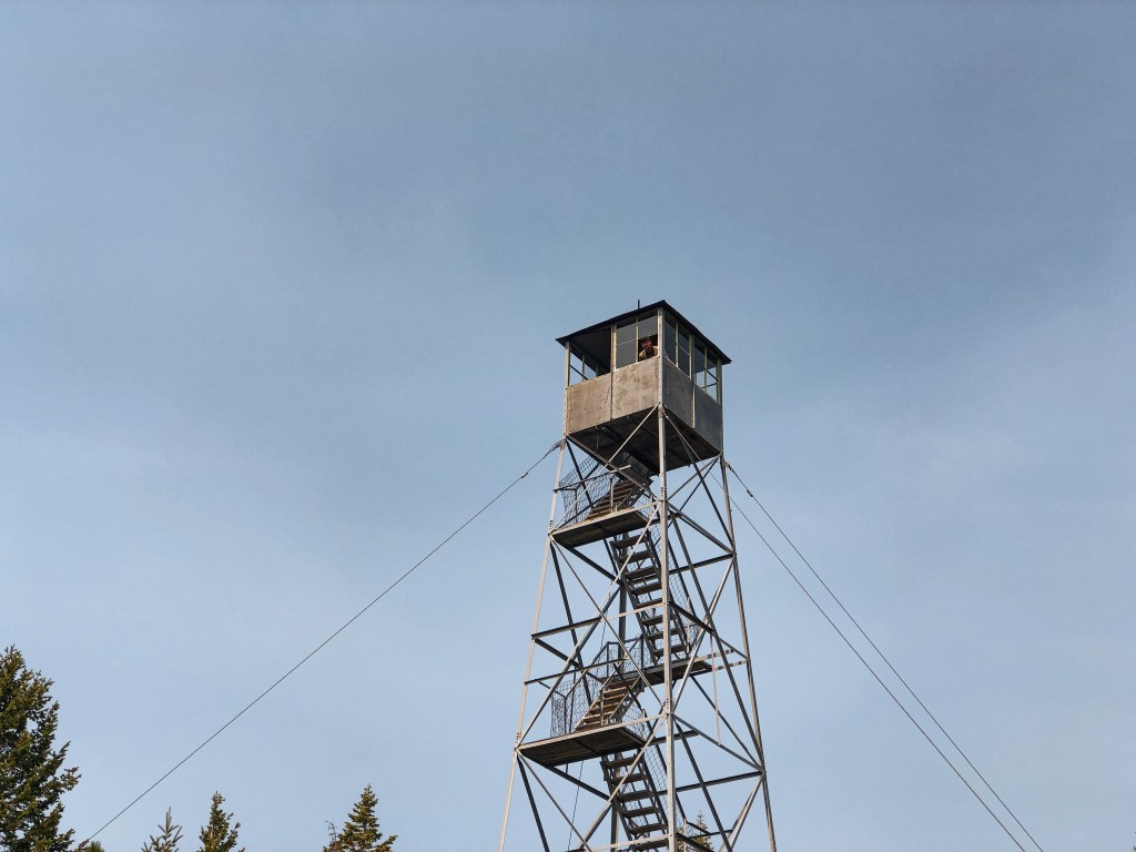
The existing lookout on Frazier Point was built in 1936 as a 100′ ring connected treater timber tower with 7’x7′ L-6 cab. It is accompanied by a 20’x20′ ground cabin, built in 1938, that used to be the garage. It was converted to the living quarters in the 1970’s when the original 14’x16′ cabin burned down. This tall tower has a collection of interesting stories in the book Fire Lookouts of the Northwest. It seems the height of the lookout had negative effects on a few of the attendants that have staffed it over the years. One of the more notable stories is of an unfortunate accident where a 4-year-old boy fell from one of the landings and died. This story is believed to be the reason why the Forest Service adds screens to the stairs and landings on every lookout. The site was originally established in the early 1930s as an emergency lookout post. They used a rocky point 1/2 mile from the current lookout site. It was actively staffed every season up until 2008. As of July 2019, the structure has been listed as condemned and is slated to be removed by the Forest Service.