Location.
Wallowa-Whitman National Forest
Status.
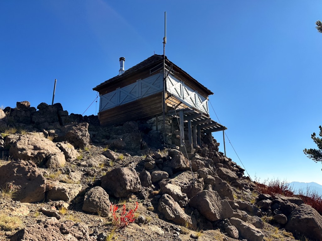
Staffed; Currently Standing
Estimated drive time from Portland, OR.
5-1/2 hours
Date visited.
September 22, 2025
Elevation.
8,554′
National Historic Lookout Register.
US 1636, OR 154
Trip Report.
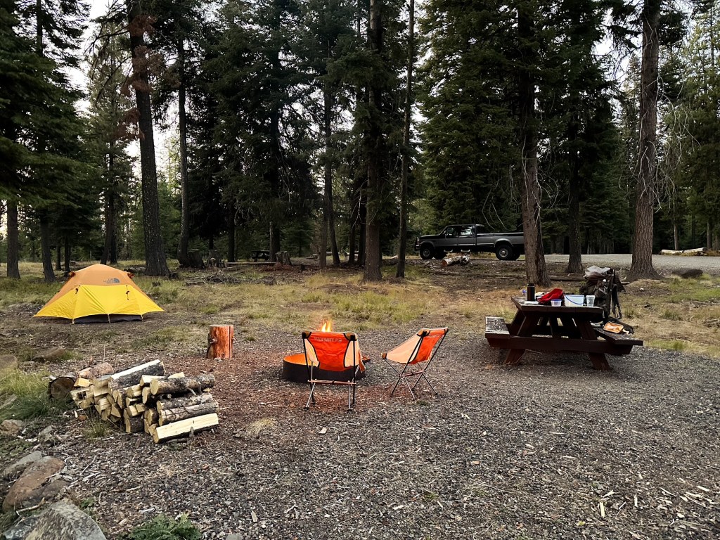
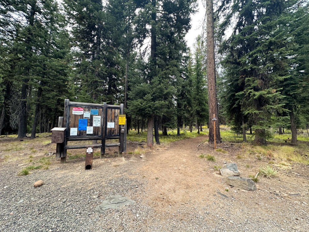
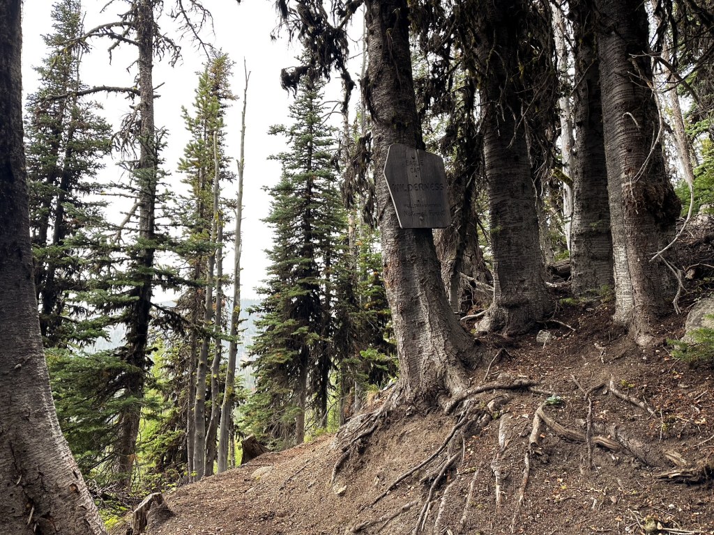
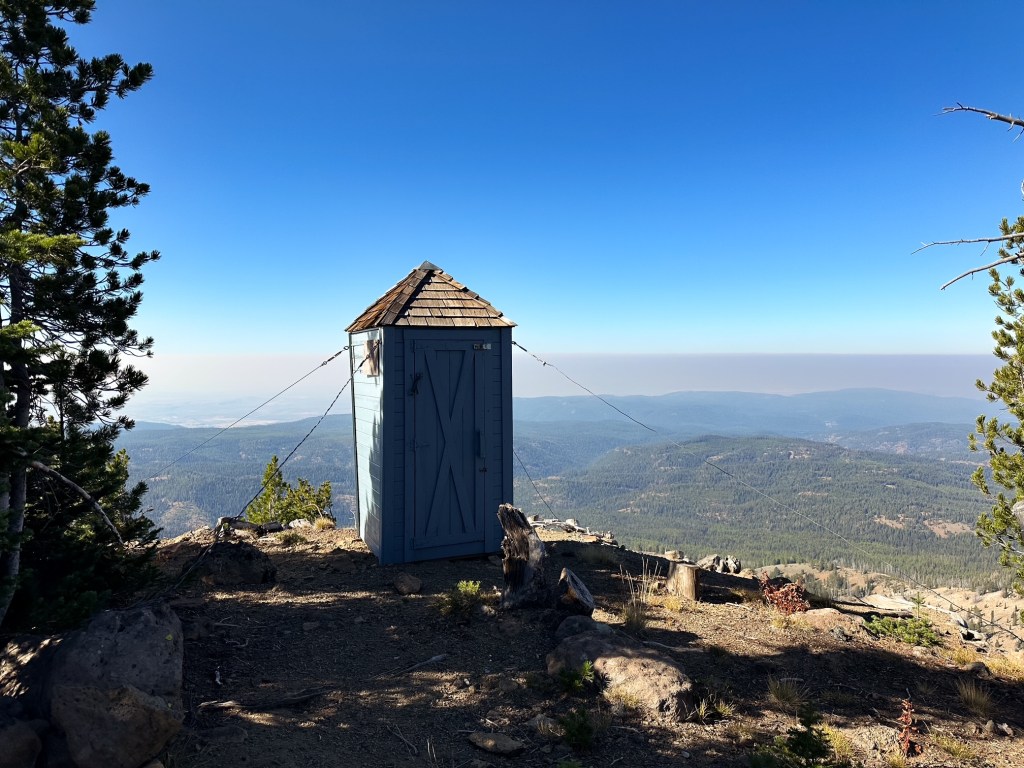
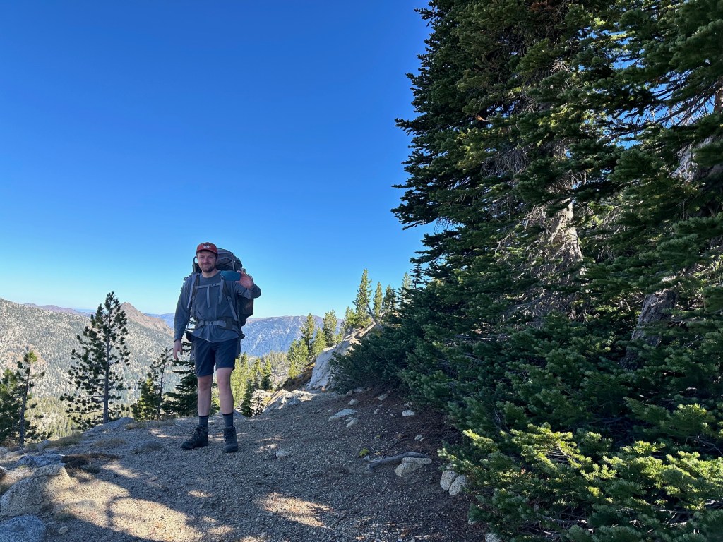
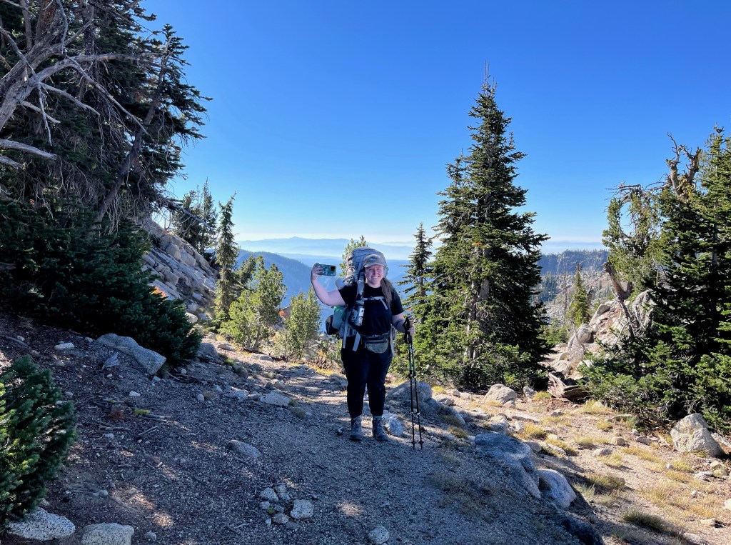
Similar to other fire lookouts located deep within the wilderness, we decided the best way to access Mule Peak was via a backpacking trip. This cut out the need for an overly strenuous day hike and presented the opportunity to explore deeper into a wilderness that we’ve come to love. There are a few different route options for accessing Mule Peak, but not all seemed accessible for a low clearance vehicle. We decided to start from the Buck Creek trailhead given the available information online. Our first day of the trip was dedicated to driving to the trailhead for a few different reasons (i.e work schedules, hiking distance to camp, drive time). There is a nice forest service campground at the trailhead with 3 or 4 available spots and a pit toilet. This set us up nicely to start our hike early the next morning. The road in was passable but definitely had some hazards to avoid.
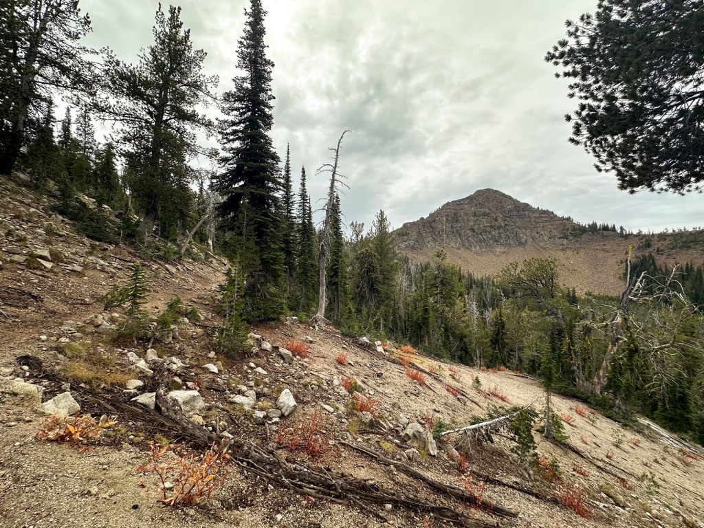
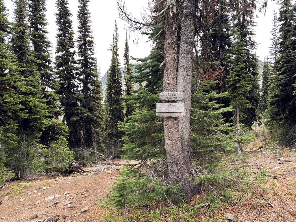
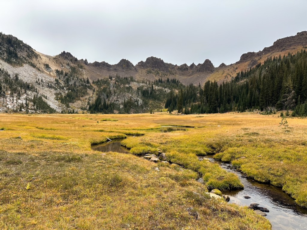
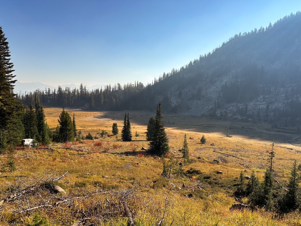
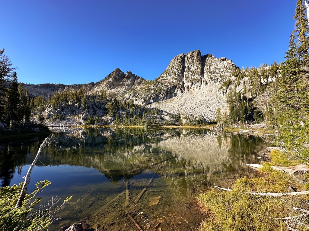
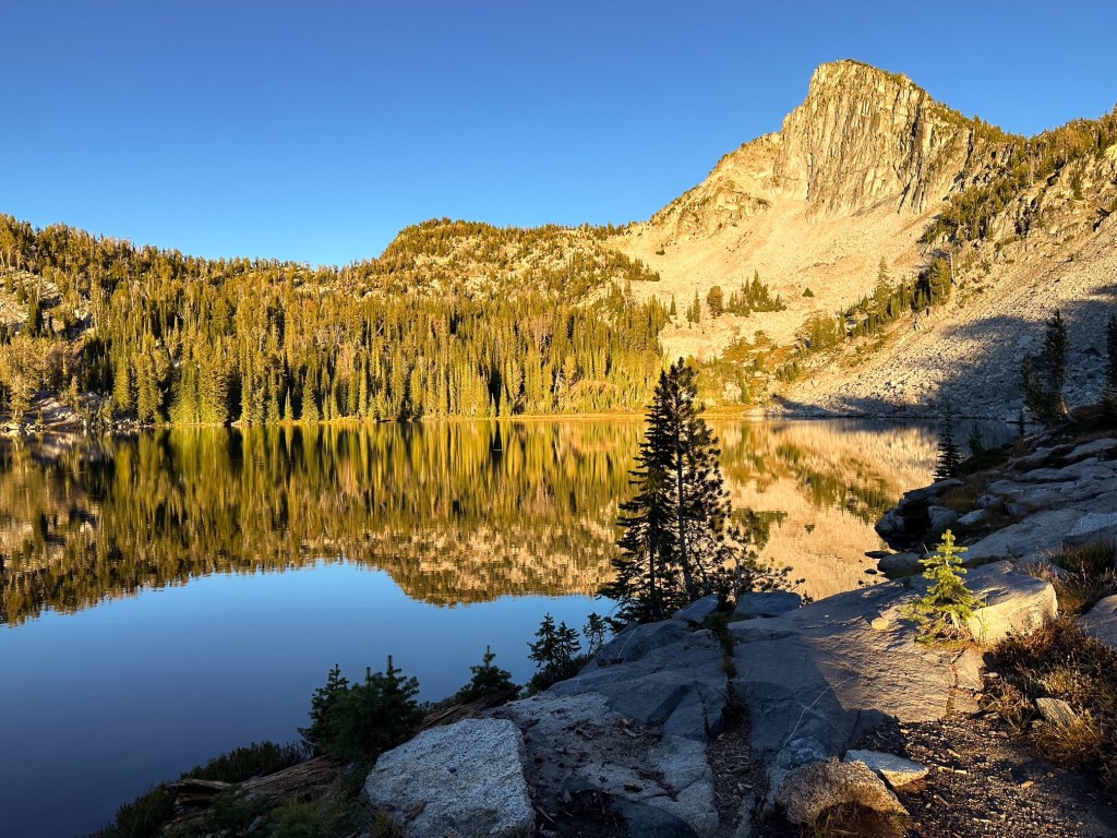
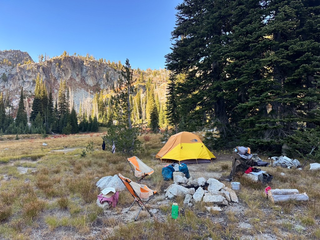
The forecast for the beginning of the trip was spotty with rain and clouds, but it was expected to clear up for the rest of the week. We woke up early to dark cloudy skies and hoped for the best. Our route followed the Elk Creek trail #1944 up and over Burger pass to the junction at Burger meadows. There were a couple of junctions before reaching the pass, but we stayed right each time to keep climbing. Despite all the trail information available online, we were not sure if there would be an official camp or water source once we reached the meadow. Pictures and topography suggested there would be, but no one seemed to confirm this online. Once over Burger pass, the Elk Creek trail descends to a junction prior to reaching the meadow and continues left all the way down to the Minam River. This would be part of our route for the following day and the trail we’d take to complete our West Eagle loop later in the week. For now, we turned right on to the Sand Pass trail #1912 to descend the remaining distance to the meadow. We were relieved to find a well worn camping area and a creek cutting across. This area is known for horse packing and there were signs of this around the camp. There was no one else here upon our arrival so we took our time picking out our tent spot. It had rained on us intermittently throughout the hike, but there was now a break in the clouds where the sun was trying to poke through.
Our initial plan was to hike to Mule Peak the next morning before moving camps, but current conditions had Garnet tempted to do it day of. I was hesitant since I could see the trail heading up to the pass from camp and it looked like it disappeared into loose scree, which is my nemesis for trail conditions. I was unsure at that point if I was going to even attempt it and wanted to sleep on it first. Garnet decided to hike on while I hung out in camp and would report on conditions upon his return. He figured if I ended up deciding not to do it this could save us time the next day. I passed most of my time in our tent trying to stay warm while reading. Eventually, I heard someone call out as they walked into camp thinking it was probably Garnet. I was joined by an older gentleman that had hiked up from the Elk Creek trail instead. He was very gregarious and we chatted for a bit before agreeing to share the space. There really is only one area to camp in the meadows, but it is big enough to accommodate a few tents. Darker clouds started to roll in again prior to Garnet’s return, and I retreated to the safety of our tent while our new neighbor was setting up. Garnet seemed to be taking longer than anticipated for the estimated mileage. Per usual, he did eventually return and was excited to inform me he met the attendant onsite (which is why it took him longer than expected). He had only been there for a few days this season, but was working on closing up the lookout for winter when Garnet arrived. It was interesting to hear that it is still actively staffed and not just in emergencies given the location. Garnet met our camp neighbor when he came out to make tea and chatted with him for a bit. The temperatures started to drop and the rain rolled in while we were making dinner. It was hard to even get the water boiling. We all retreated to the warmth of our tents shortly after.
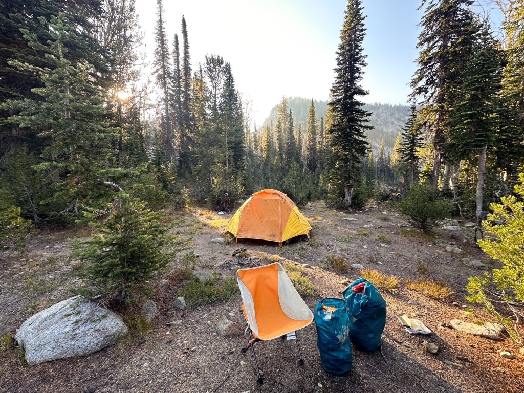
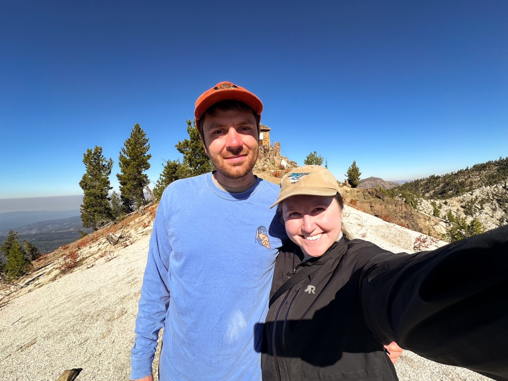
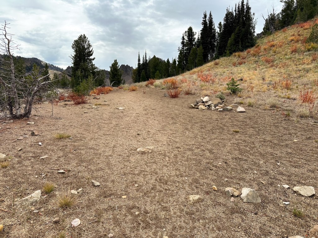
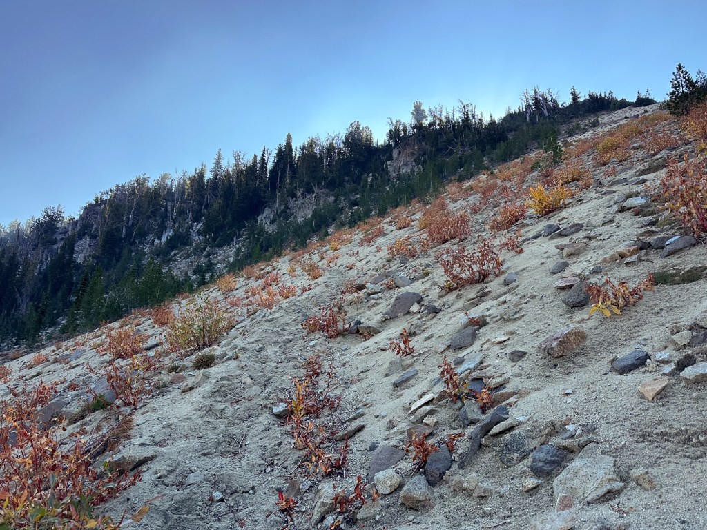
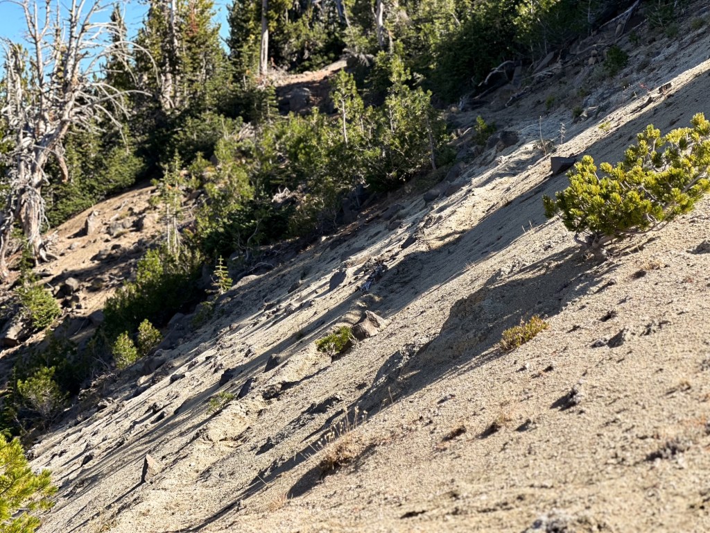
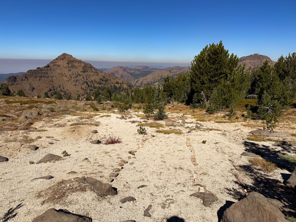
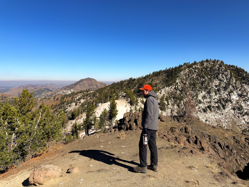
The next morning we awoke to clear blue skies, partially frozen water bottles, and frost on our tent. I have had the water in my Nalgene freeze a handful of times, but the frost on the tent was a first. It felt like winter was right at our heels instead of fall. It also made getting out of the tent early less appealing. Garnet had convinced me the night prior to attempt a hike up to Mule Peak by showing pictures of the trail conditions. The scree I was worried about was more stable than it looked from afar. I figured I’d regret not at least attempting it too. We decided to eat and start the hike prior to packing up camp. This would give everything time to defrost and dry. We said good bye to our camp neighbor who didn’t seem in a hurry to pack up either, but we weren’t sure he’d be there upon our return. We reconnected to the Sand Pass trail #1912 and followed it along the edge of the meadow. Once on the other end of the meadow, it starts to turn up and wastes no time switch backing up to the pass. The trail does turn to sand making the pass aptly named. You get your first view of the lookout from the saddle at the pass. The Mule Peak trail #1924 continues to the left of the ridgeline even though your view of the lookout is to the right. There is a trail that continues down the other side of the pass which is the continuation of the Sand Pass trail #1912. This trail looked significantly less used. The worst of the trail conditions were just to the left of the pass at the start of the Mule Peak trail. The sandy conditions have eroded away to a short section of side slope and it is not a friendly section to those afraid of heights, or in my case falling. Beyond this section the trail compacts back to dirt and is much more solid. I managed to muddle through while saying “I hate this, I hate this, I hate this!”. Coming back down this small section was much worse than going up it though.
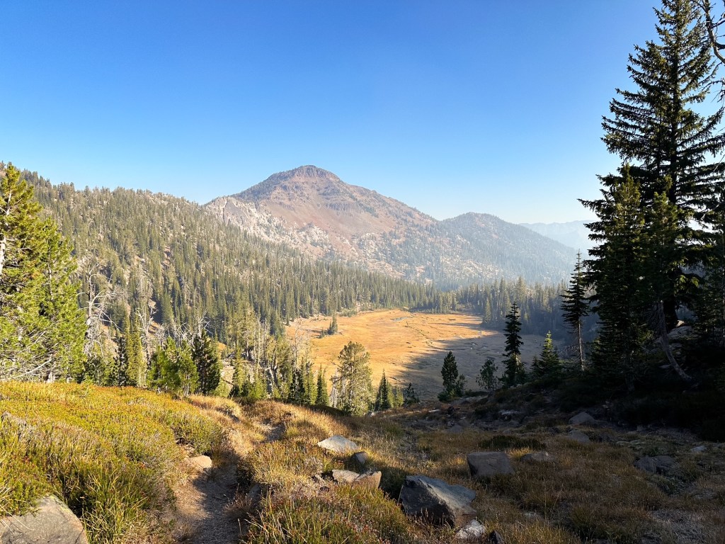
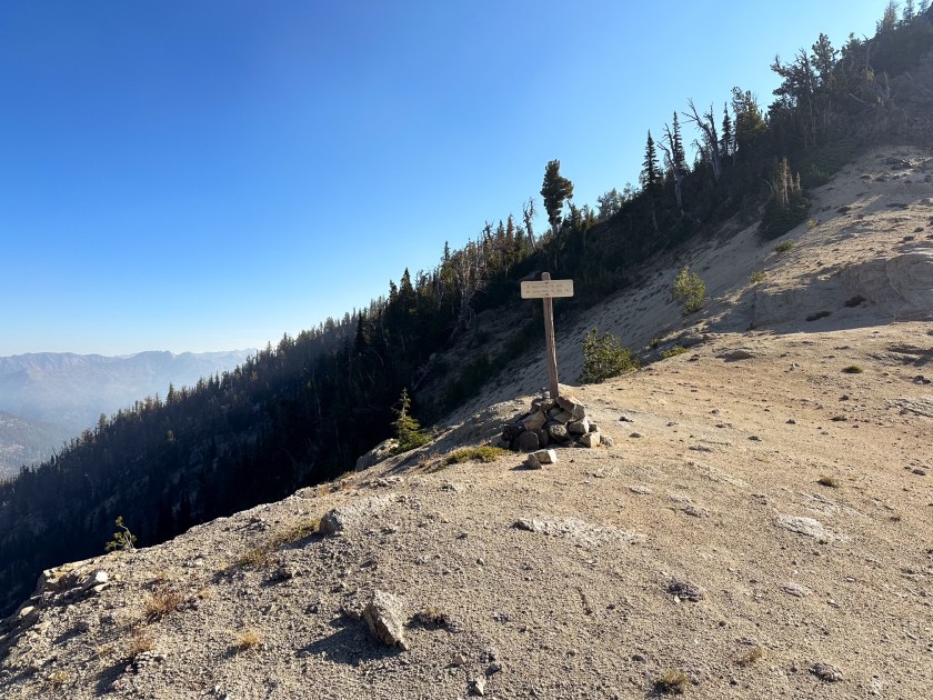
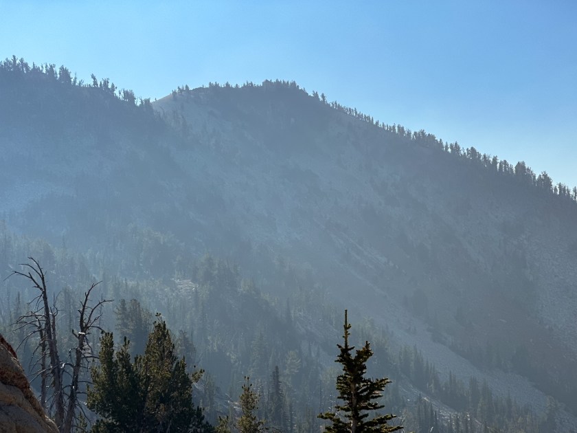
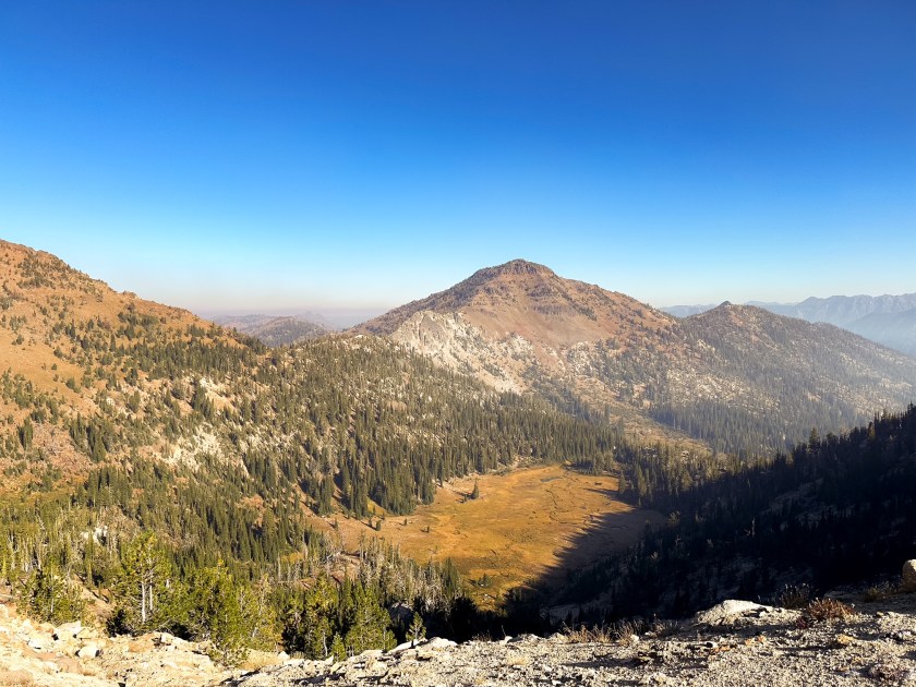
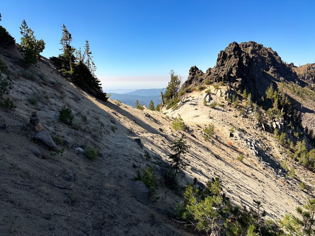
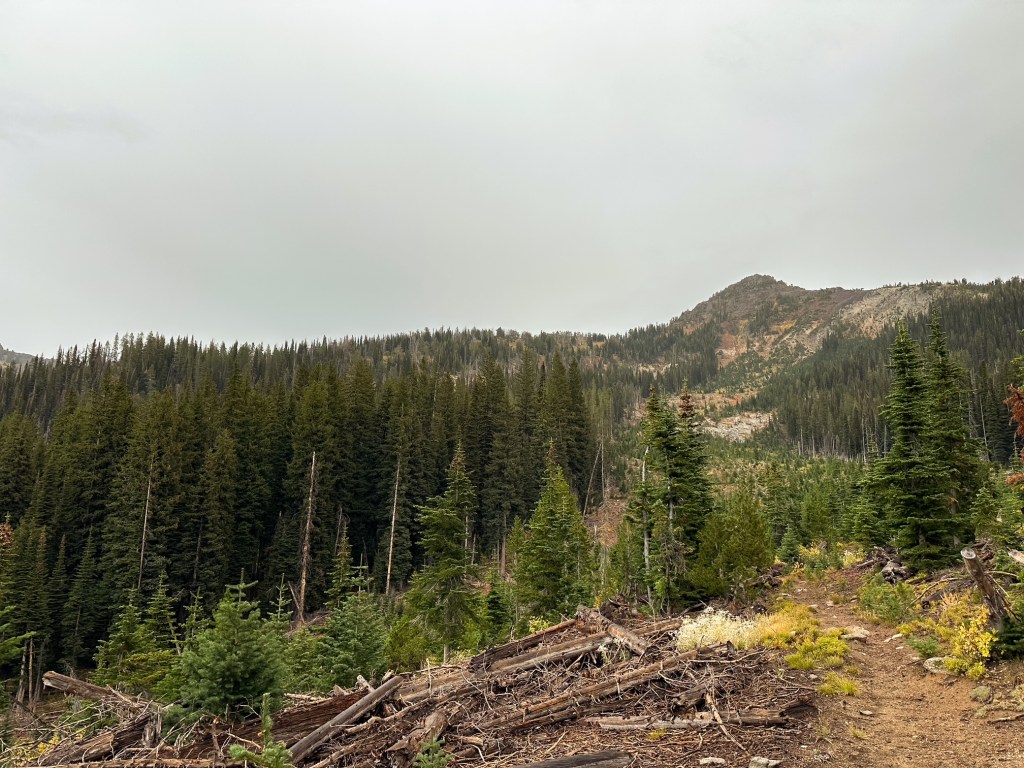
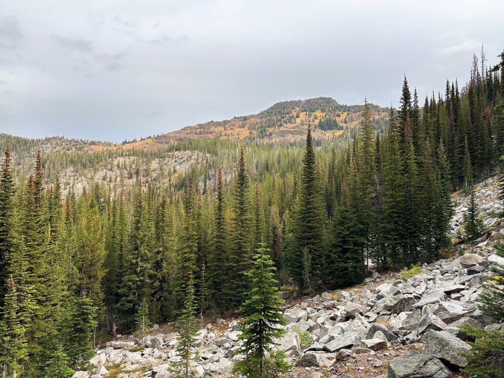
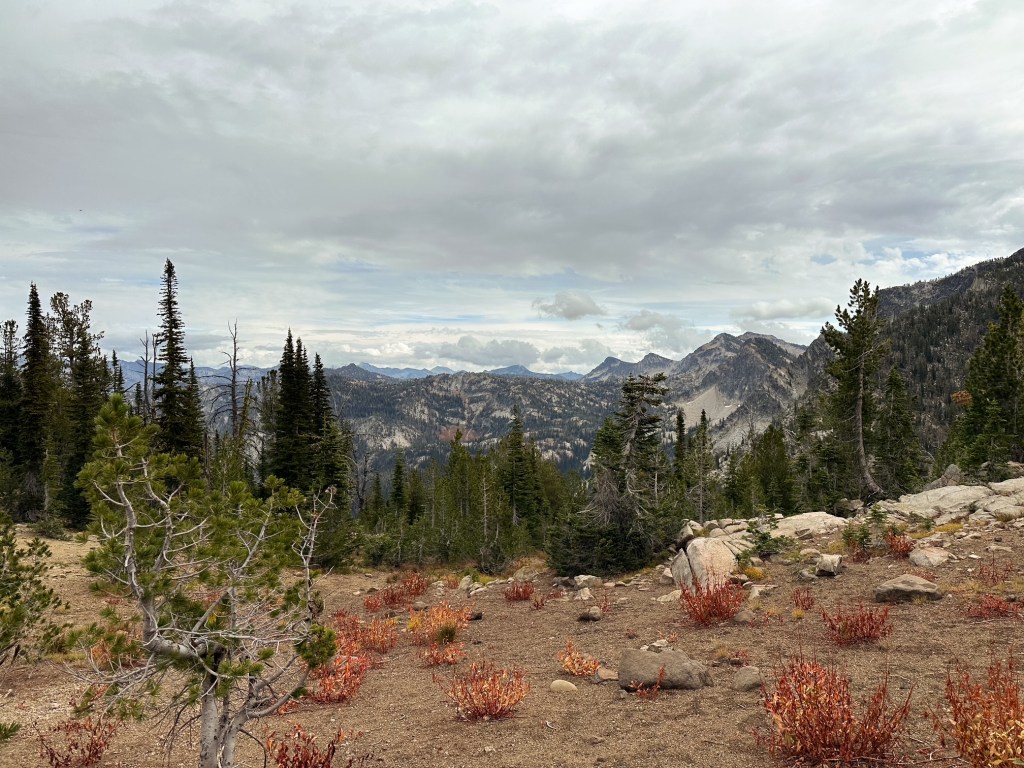
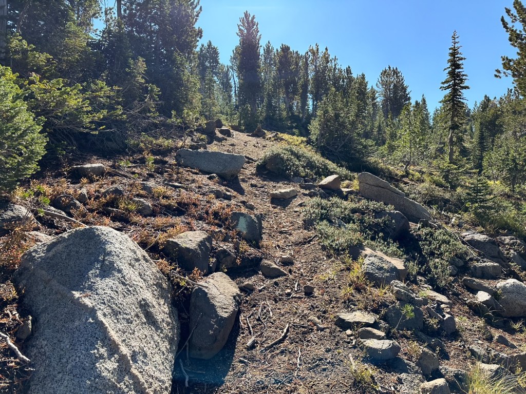
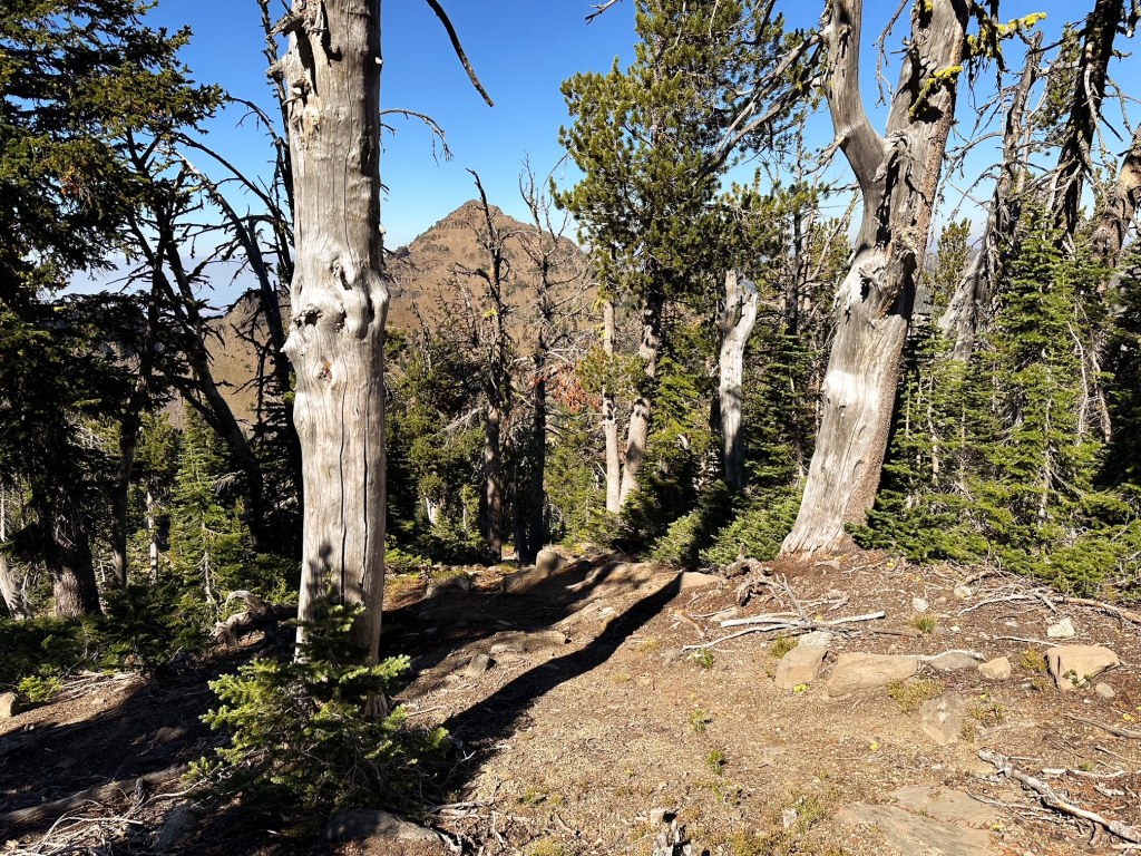
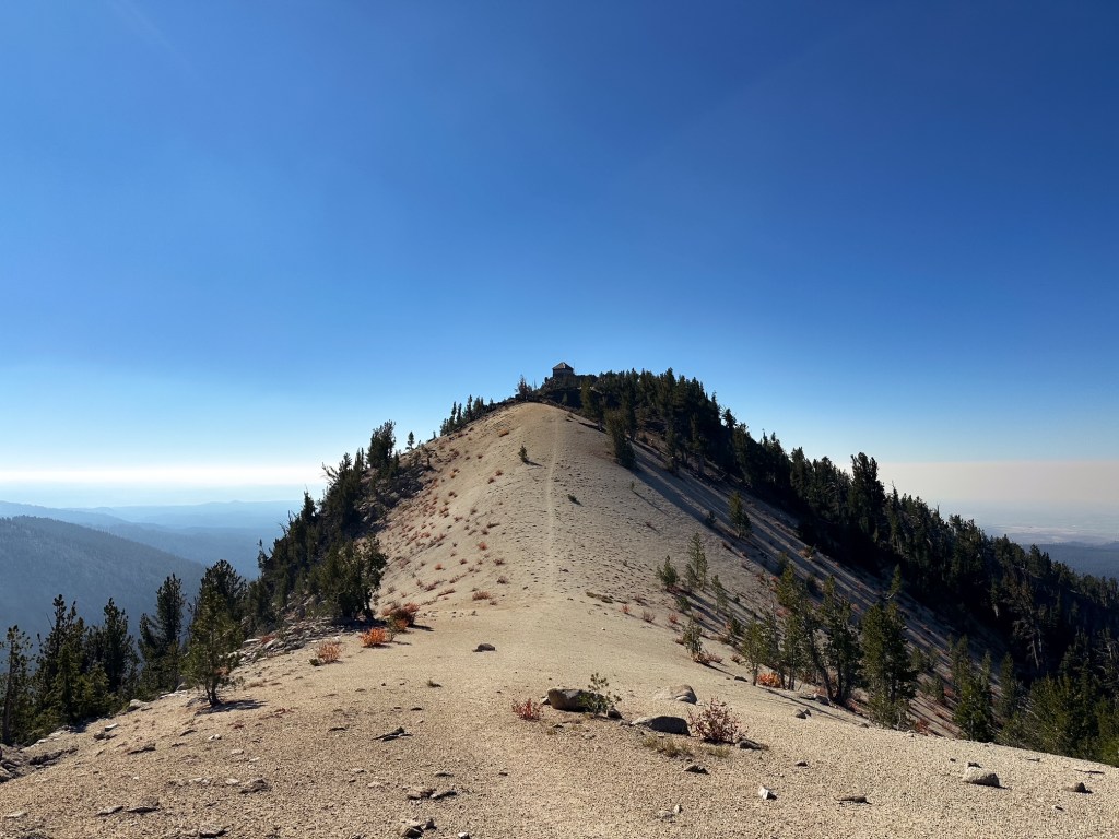
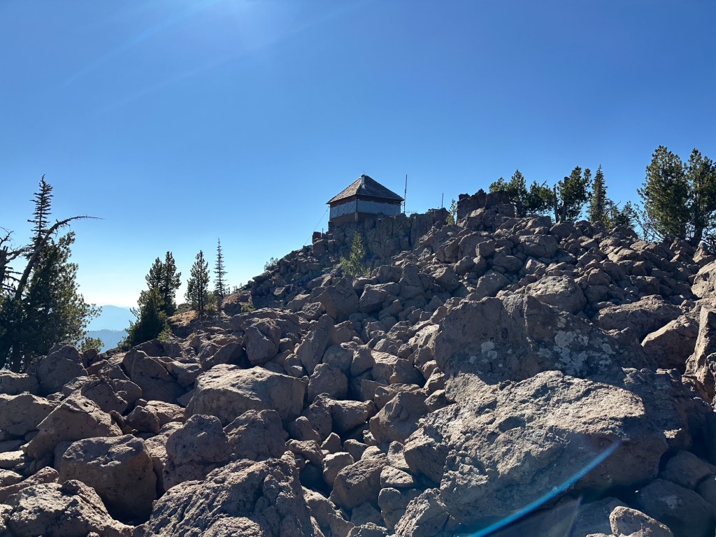
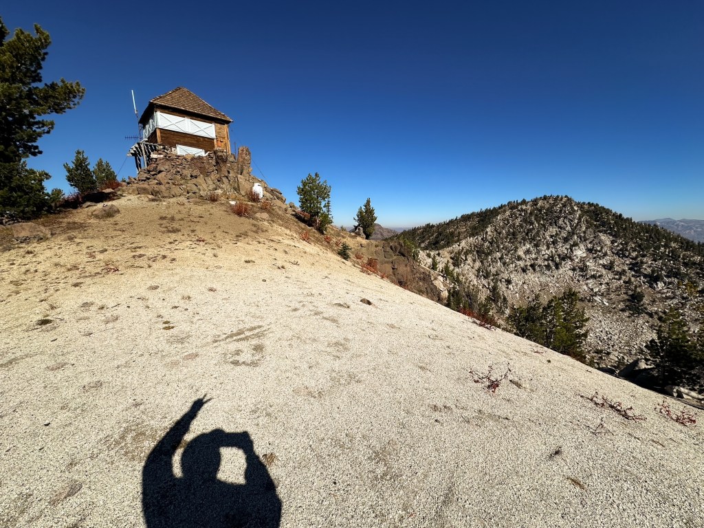
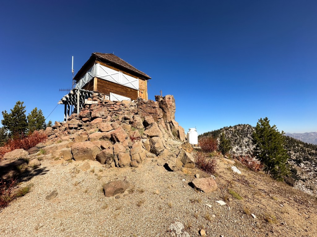
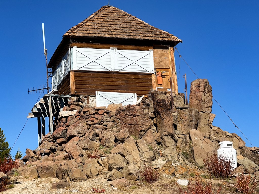
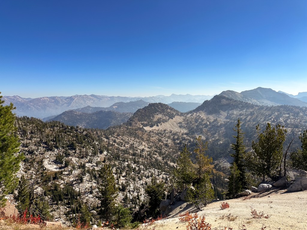
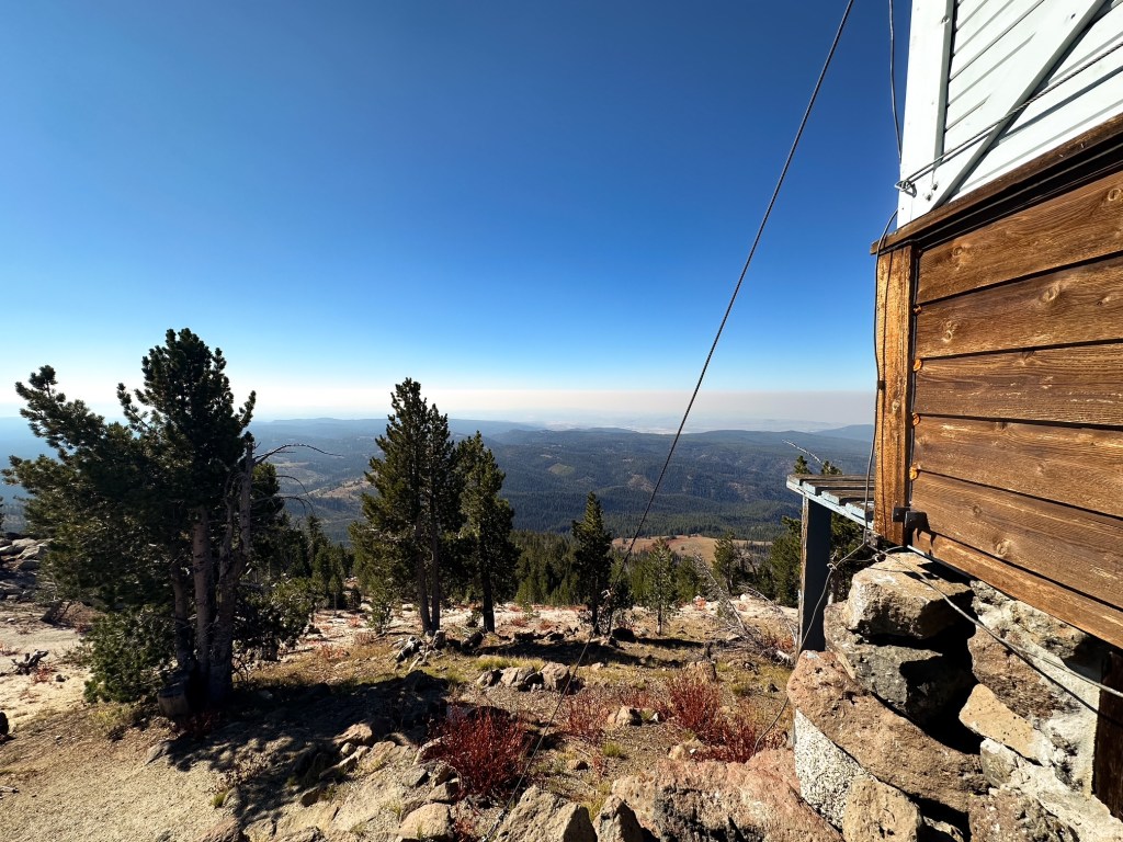
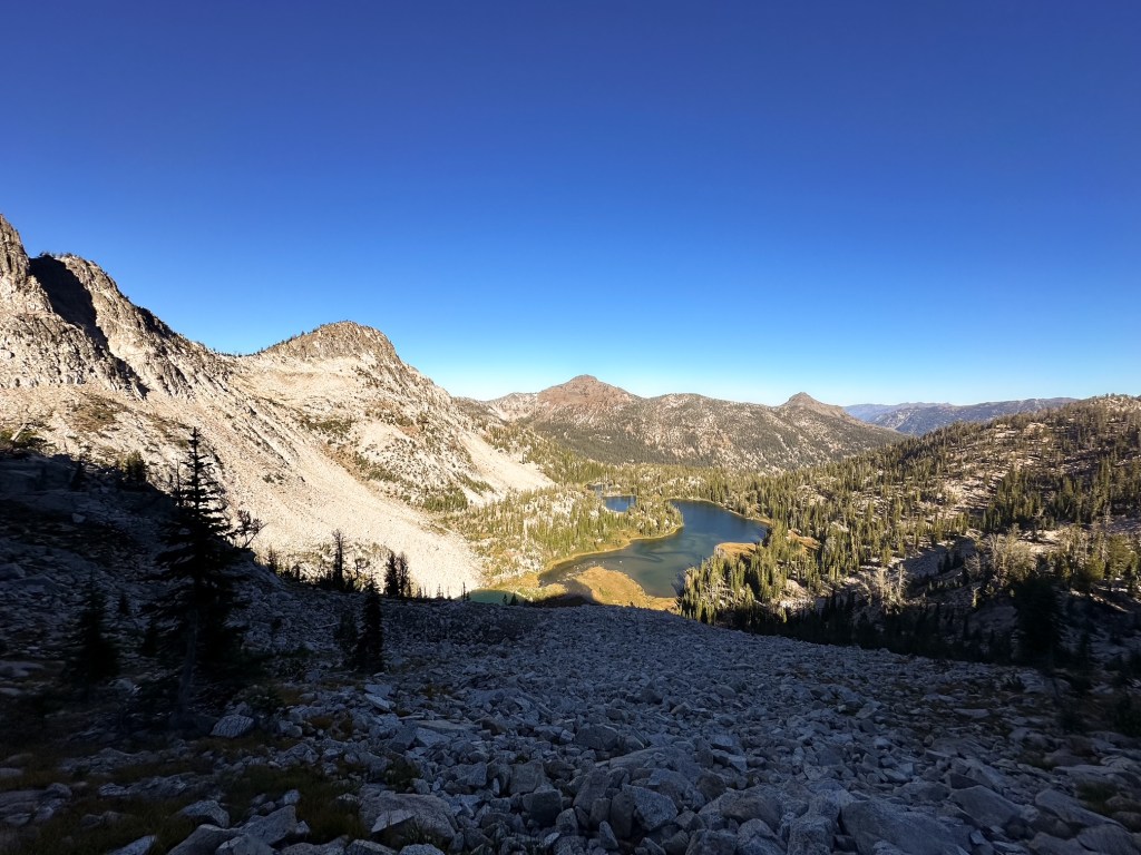
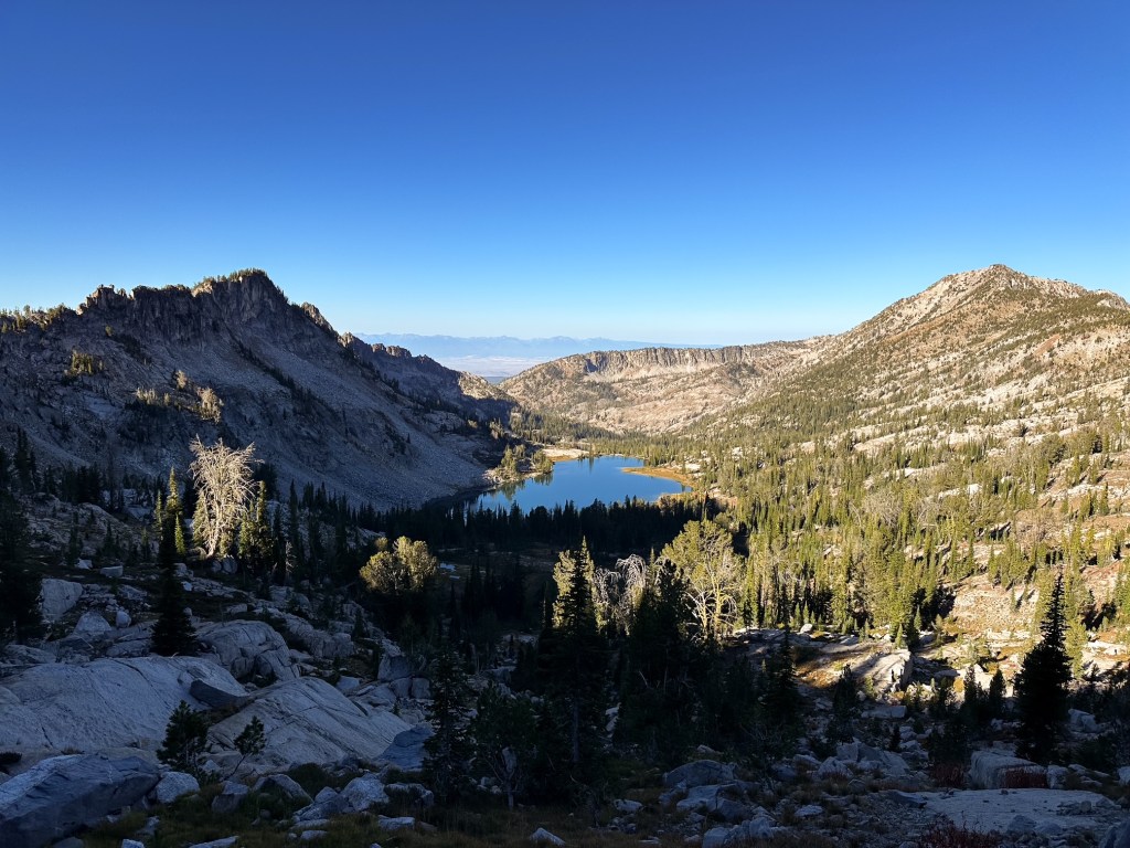
The rest of the trail undulates along the ridge line and is fairly easy to follow. There are a few sections of trail that are faint or not as clear to follow, but as long as you keep heading along the ridge towards Mule Peak you should be fine. If you stop and look long enough you’ll typically find a cairn, or cut log, or faint tread to point you in the right direction. The trail cuts over the ridge and drops just below Granite Butte before dipping to another saddle between Mule Peak. The last little pitch goes straight up the slope before reconnecting to a rocky ridge that wraps around the back of the lookout. Everything was locked up for the season when we arrived. If Garnet had not been there the day prior we would have had no idea someone had been here. There are some nice views from the summit. Despite the rain from yesterday there still seemed to be a lingering haze on the horizon though. Unfortunately, we didn’t stay for too long since we still had to move our camp for the night. I started to back track before Garnet and made it all the way back to the pass before he caught up. I was a bit worried about how I would fair on the sandy descent. I expected it to feel more like scree which slips away easily and makes me feel unstable. But, it ended up being the perfect texture for stepping down and made my return to the meadow painless.
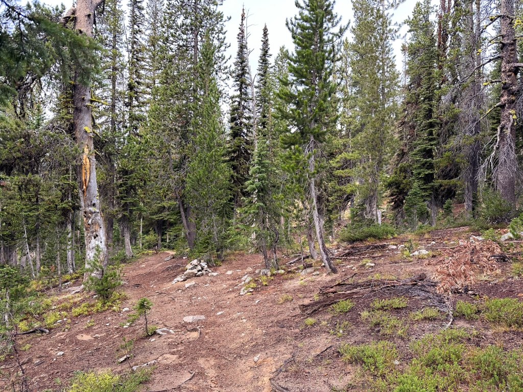
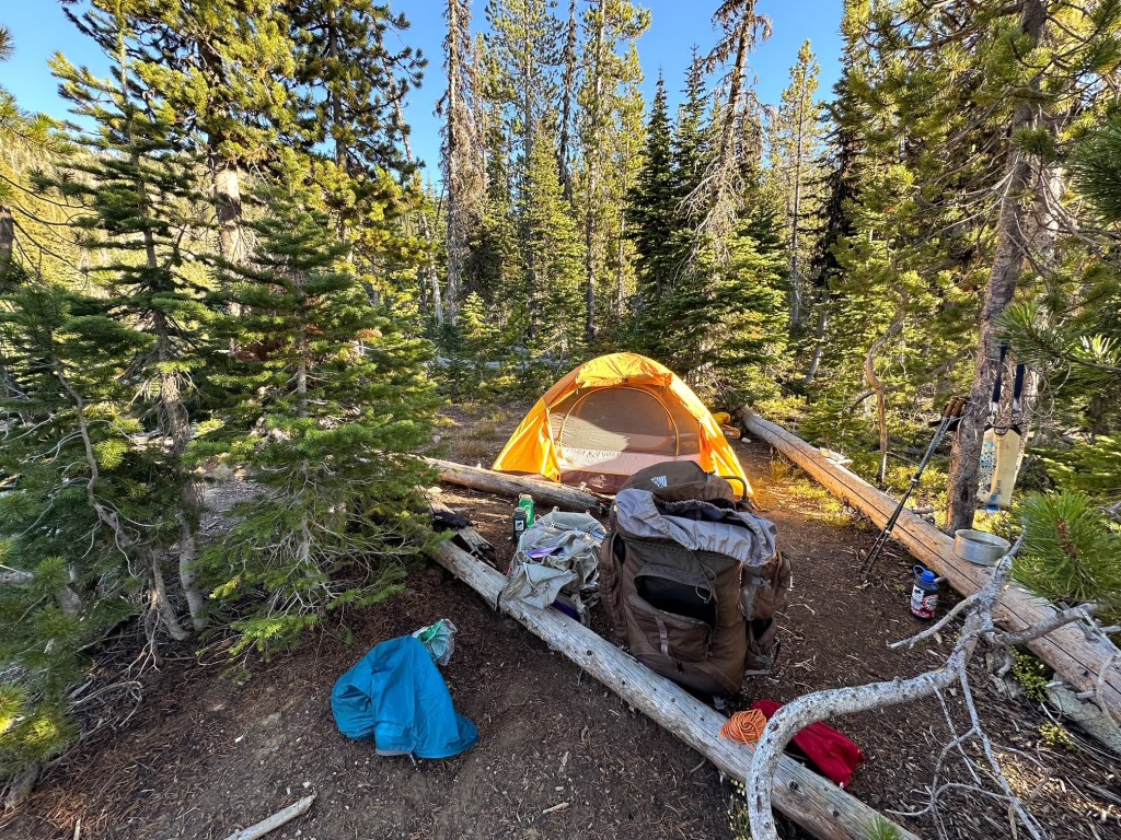
Our neighbor was still hanging in camp when we returned. Seemingly rejuvenated by the sunshine, he declared he was going to camp for another night and asked if we were staying too. We told him we planned to move on to complete a loop with our next destination being Tombstone lake. He seemed concerned that we wouldn’t make it there in time and said my mileage was off. He also mentioned he never found the continuation of the trail from the lake when he visited the other day. We took his words of caution with us and continued on our way. He was right about one thing, my mileage was off but so was his. We did make it to Tombstone Lake, albeit later than I had hoped, and the trail continuation was well defined beyond (so I’m not sure where he was looking for it). Tombstone Lake was one of the prettier lakes we have camped at and I was bummed we didn’t get to spend more time there. So much so I almost debated throwing out the entire loop and just staying there for a few extra days. But, the rest of the west eagle loop was just as pretty and I’m glad we continued on from there. Traverse Lake was another really pretty destination and our camps along the Minam River were all nice. Most trail conditions in this area were good with only a few sections of eroding trail and blowdown. The plan was to camp in Burger Meadows again at the end of our loop, but after climbing up all day from the Minam River we found the spot already taken by a group of horse packers. We didn’t even bother trying to see if there was room for us before continuing up and over Burger Pass. There had been a small proximity camp just before the Middle Fork of Catherine Creek we noticed on the way in. It was barely big enough for our tent and just off the trail, but it got the job done and made for a quicker hike out the next day. The entire loop came out to about 50.73 miles with 10,555′ of gain over 8-days.
Buck Creek TH to Burger Meadows was 5.45 miles with 2,484′ of gain (one way).
Burger Meadows to Mule peak was 3.10 miles RT with 961′ of gain.
The rest of my tracked mileage included other trails, so the round trip distance can only be estimated. Buck Creek TH to Mule Peak is roughly 14 miles RT with at least 3,445′ of elevation gain. I would probably factor in at least a few hundred extra feet of gain to that since it doesn’t include the elevation to climb back out to Burger Pass. This route seems to get more traffic than the other route, but requires the up and down of two passes. Or you can attempt a cross country scramble between the two as some peakbaggers have done.
The more direct route to the summit and one that the lookout attendant takes starts from the Pole Creek trailhead. If you want to glean an idea on those conditions and directions Cheryl Hill hiked this route in 2023 (post).
History.
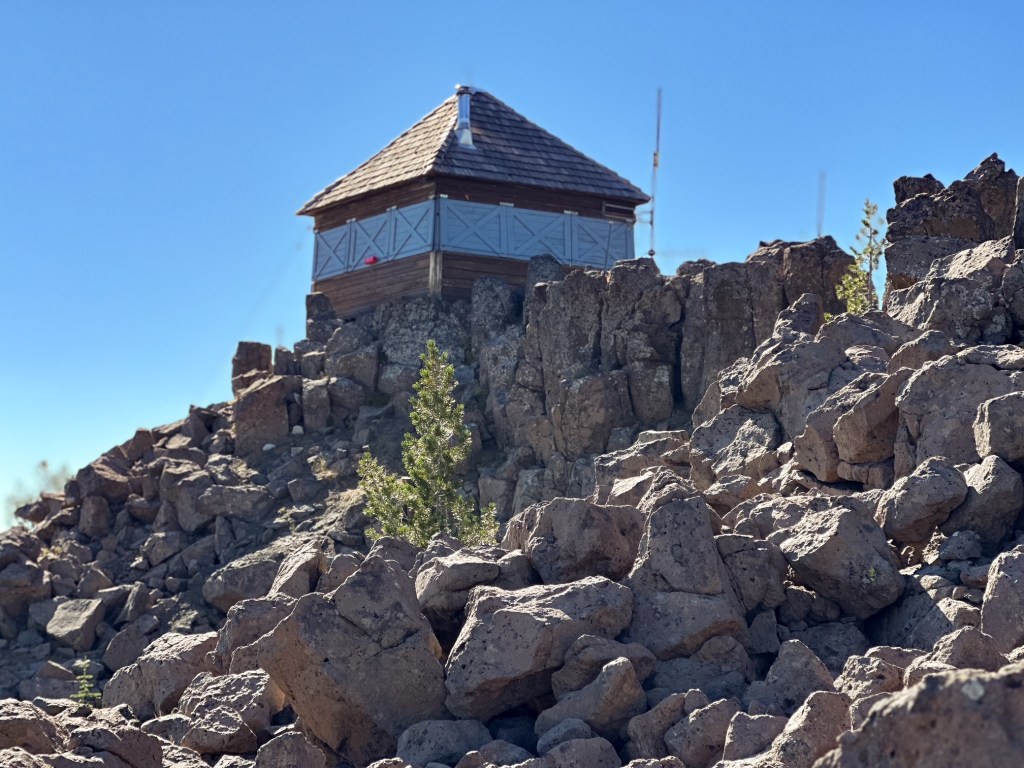
The area around Mule Peak has been utilized for fire detection as early as 1916, at least from the ajoining peak of Granite Butte. Though aside from The Morning Oregonian report on Ron Kemnow’s site states there is not much online information on Granite Butte as a former lookout site. The attendant Garnet met during his visit also confirmed this was a former site and Garnet confirmed there was evidence of such on the summit. The most interesting detail about this is that Granite Butte sits higher at 8,679′ than Mule Peak, which one would think would deem it the better site for a permanent structure. Alas Mule Peak was selected and has stood the test of time for over 100 years now. Originally built in 1924 as a D-5 wooden ground cabin. It has seen maintenance as recent as 2021 when it received a fresh coat of paint and new cedar shake roof. It is still intermittently staffed.