
NOTICE: As of September 8, 2023 this area is currently closed due to the active Rail Ridge fire.
Location.
Malheur National Forest
Status.
Active; Currently standing
Estimated drive time from Portland, OR.
6 hours
Date visited.
July 8, 2023
Elevation.
6,988′
National Historic Lookout Register.
US 453; OR 56
Trip Report.
Day 1/9: Lookout Road Trip 2023
If you were around here during this time last year, reading this blog for some reason, you might remember we had taken a road trip to visit a bunch of fire lookouts in the southern part of Oregon. If not, you can find our route and associated posts here. We had managed to visit 18 fire lookouts over the course of 10 days. We planned to take a similar trip this year albeit a bit lacking in comparison. Our goal for this time around would be to visit 12 fire lookouts over 9 days in the eastern central portions of Oregon. We would be covering what one might call big country and although things might look close on a map they would not be as the car drives. We tried to give ourselves ample time for any mishaps or delays, but had hope that things would go as smooth as last time.
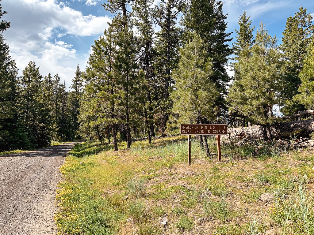


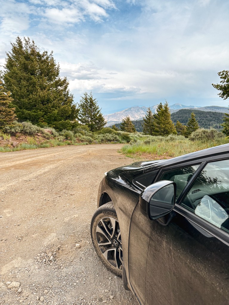
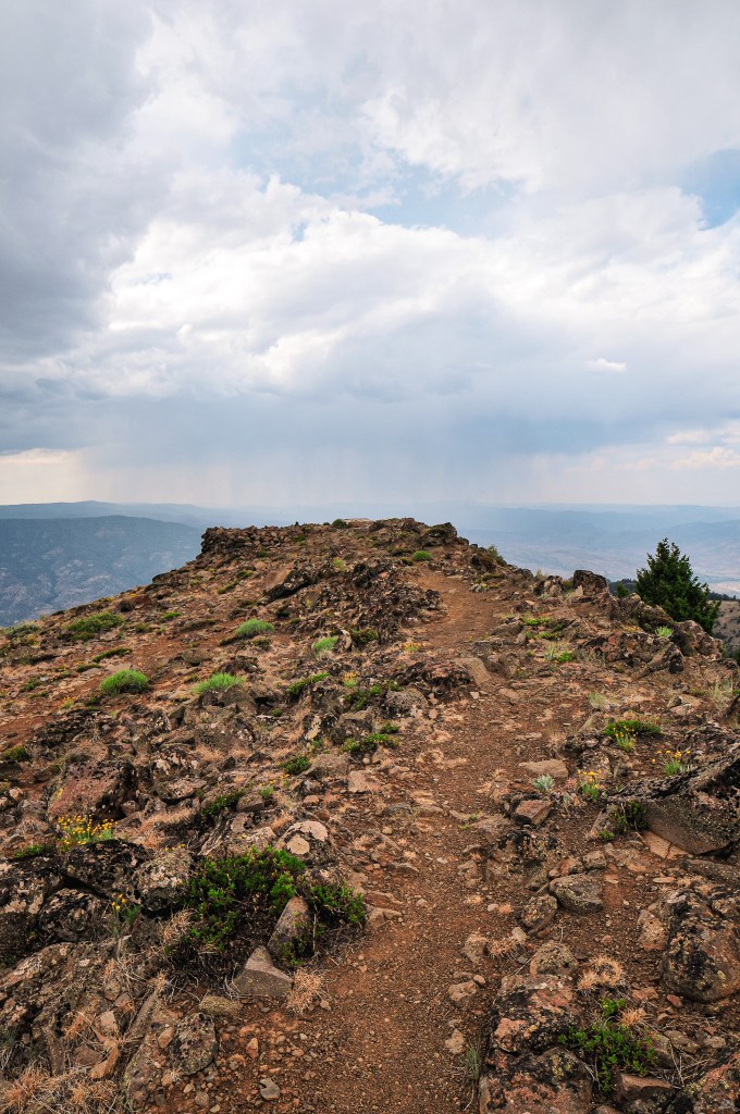
We had our sights set on Aldrich Mountain and Fall Mountain (post) in the Malheur NF for our first day. We headed out of Portland around 9AM via HWY-26 and followed this all the way to Dayville. We only briefly made a pit stop in Prineville to refuel our car and stomachs. From HWY-26, we made a right turn onto Fields Creek Road to head into the forest. This road eventually turns into NF-21 once you’ve crossed the boundary. We had been to this area once before on our first dispersed camping trip together in May 2020. We have since driven past this turn off many other times, but haven’t made the turn onto this road since that initial trip. During that trip, we visited a bunch of old mining areas and Flagtail Mountain (post). Believe it or not, this was prior to our fire lookout centered adventures. We followed paved NF-21 until it came to a junction with NF-2150 off to the right. This turn used to be marked with a sign for the Cedar Grove Botanical Area, but it appears to have since been removed. It’s roughly 15 miles along NF-2150 to Aldrich Mountain. There was a sign for Aldrich Mountain L.O. at the junction with the Cedar Grove Trail #203A. The NF-2150 road is a good gravel road all the way to the main parking area below the final pitch to the lookout. There is a sign here that states the road beyond is closed to all motorized vehicles, but there is no gate. We walked the remaining distance of the road, which my Strava app calculated at 0.2 miles.

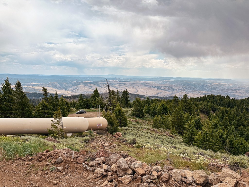

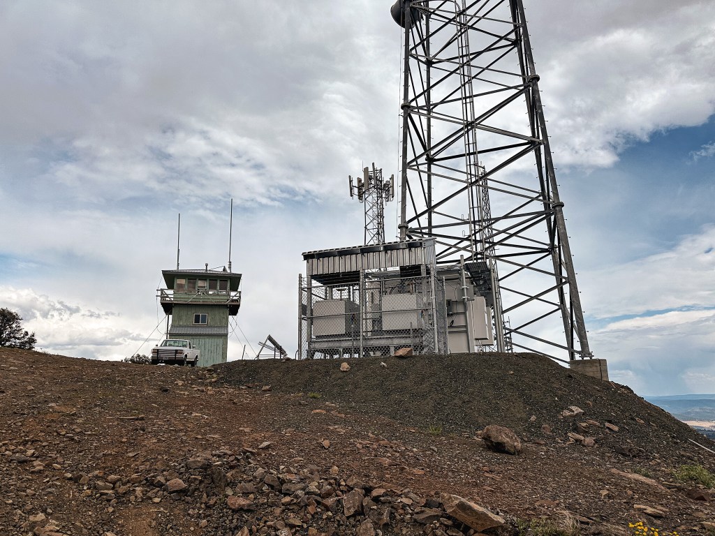

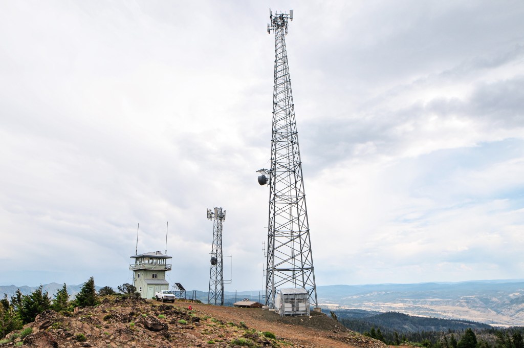
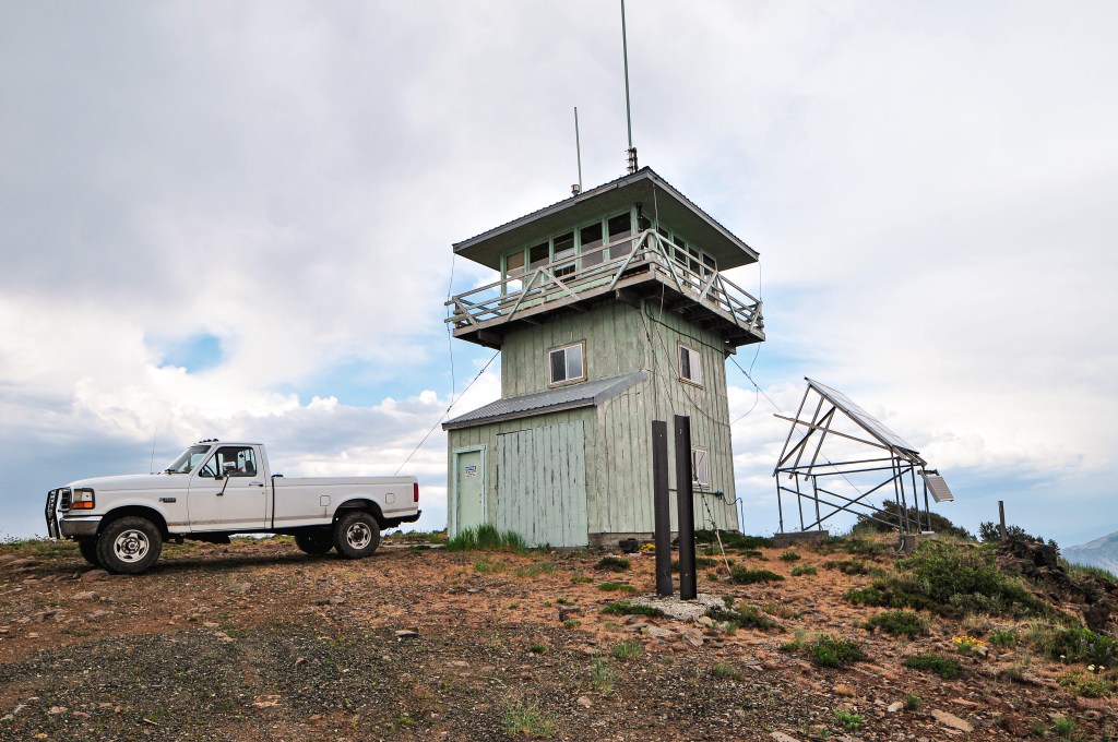
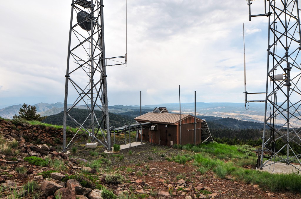


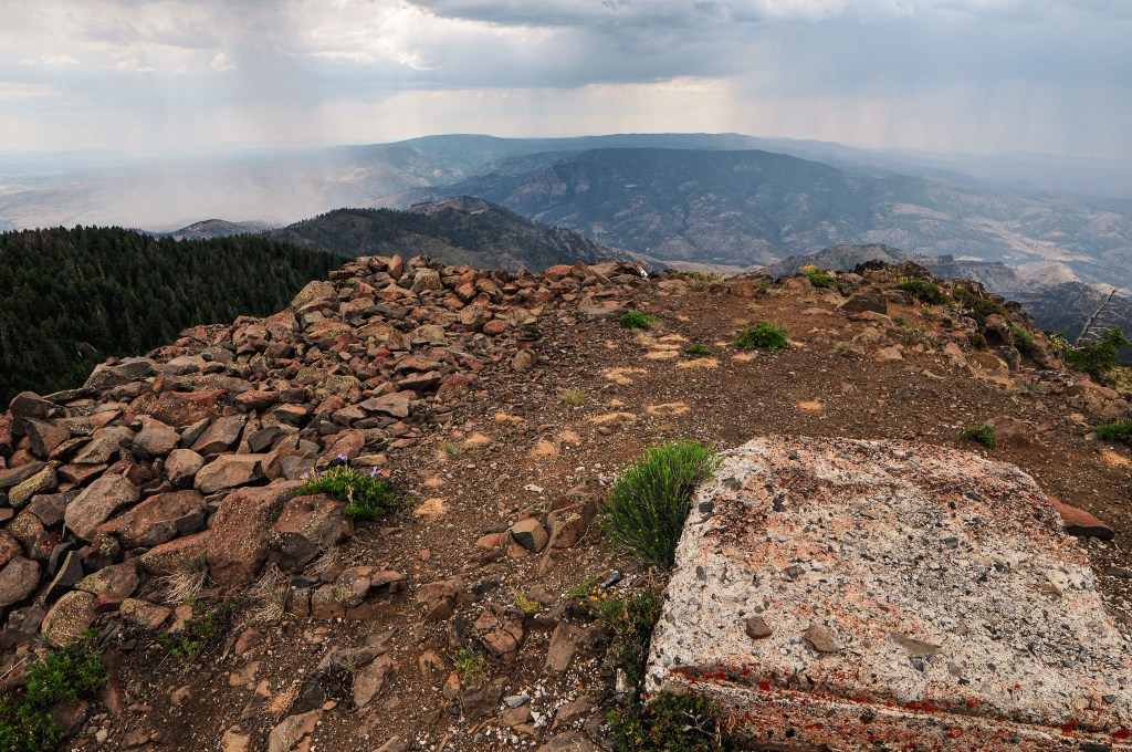
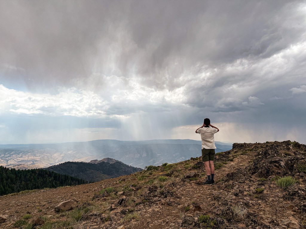
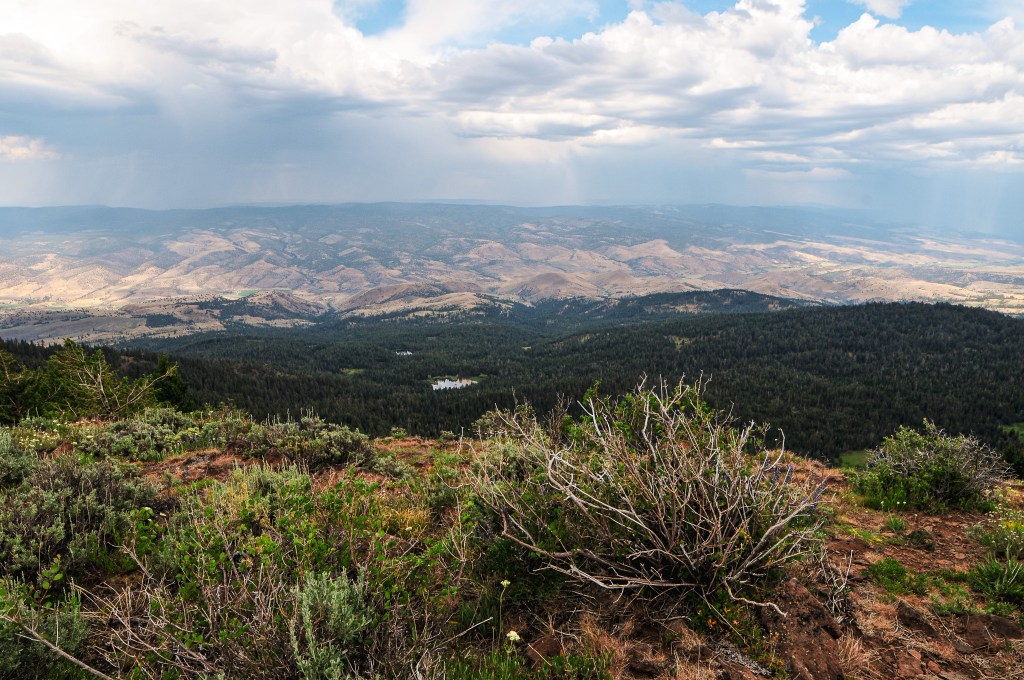
We knew this fire lookout would be staffed during our visit and had hoped to meet the lookout attendant while there. Unfortunately, they seemed to be hunkered down in the second story of the tower. We figured this was probably due to the thunderstorm activity in the forecast. There had been a 20% chance of thunderstorms for the surrounding areas over the next two days, which probably should have been a warning for us to stay away from the high points. We decided to take a chance on visiting them regardless due to our inflexibility of route and timing. Don’t worry we’re not completely brain dead, we’d assess our risk based on each area during our time of visit. There was definitely storm clouds off in the distance, but none were close enough at the time to be of concern to us. There is also a 100′ communication tower on the summit that was more likely to get hit than us. We still didn’t want to waste any time lingering near a storm and quickly headed back to the car after taking in the view and some pictures. I later found out from the lookout attendant on Madison Butte (post) that Aldrich was staffed by someone named Danielle as well. She was on Tamarack Mountain (post) the year prior. It’s too bad we didn’t get a chance to meet while we were there, but maybe our paths will cross in the future. If she ever happens to stumble across this blog, Hi Danielle!


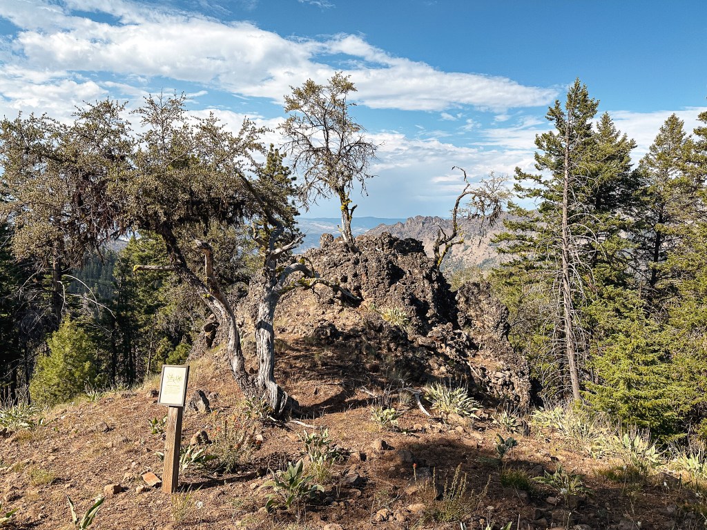
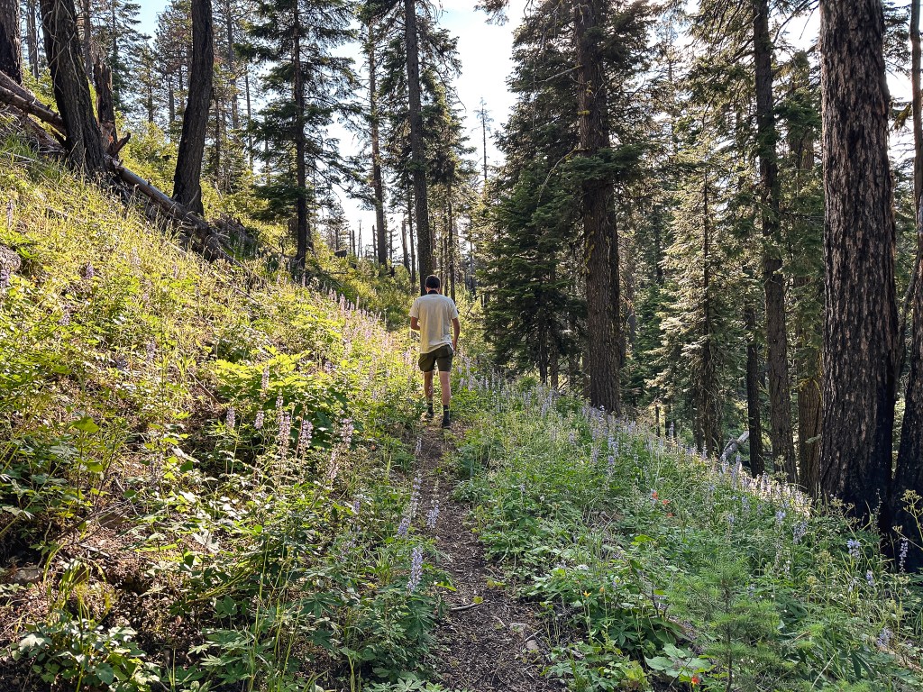
We decided to make a stop to check out the Cedar Grove Trail before heading on to Fall Mountain. We figured we wouldn’t be back to this area anytime soon and should see it while we were here (or maybe I should say while it’s still here). This trail is unique because it takes you to an isolated grove of Alaskan yellow cedar trees. The trail heads down from the road and takes you to a few interpretive signs about the common vegetation in the area before you reach the grove. Unfortunately, it seemed like a lot of the cedar trees were dead or dying. There were still a few of them alive though. We weren’t sure how far the trail continued since it’s designated as a National Recreation Trail and turned around when it started heading up a slope. Once we headed back the way we came we saw where the trail connected and looped around. The total mileage is slightly off due to this backtracking, but My Strava app calculated this hike at 1.89 miles with 395′ of elevation gain.


History.
The first fire lookout built on Aldrich Mountain was an L-4 hip-roofed ground cab in 1934. Four years later a garage and storage building were added to the summit. It was replaced in 1959 by a standard 14’x14′ 3-story ODF cab. This lookout was short lived as it was burned down by vandals later that same year. In 1960, an exact replica was built and still stands today. It is actively staffed every summer. Rex’s site mentions that it is currently managed by the Ochoco National Forest. The site has changed management over the years due to its prime location overlooking BLM, state, private, and national forest land that benefits all.


2 thoughts on “Aldrich Mountain L.O.”