NOTICE: July 15, 2023 – this area was impacted by the Flat Fire that burned 34,242 acres through the Rogue River Siskiyou National Forest.
Location.
Rogue River-Siskiyou National Forest
Status.
Abandoned; Partially standing
Estimated drive time from Portland, OR.
7 hours
Date visited.
May 27, 2023
Elevation.
3,778′
National Historic Lookout Register.
US 509; OR 101
Trip Report.
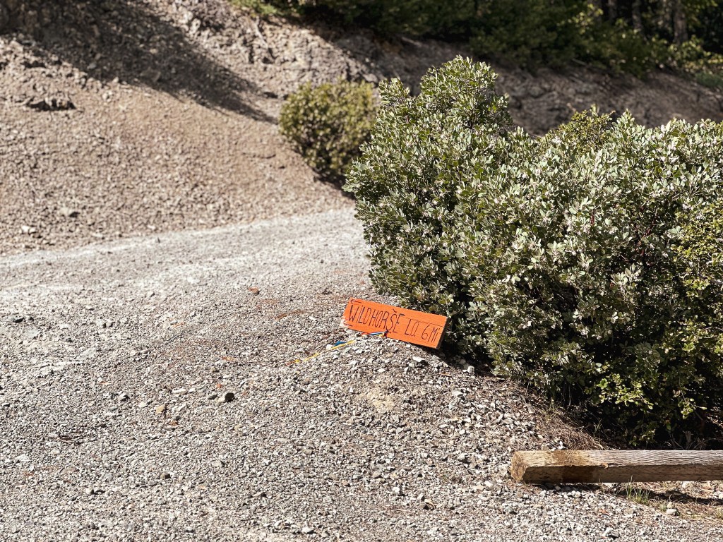


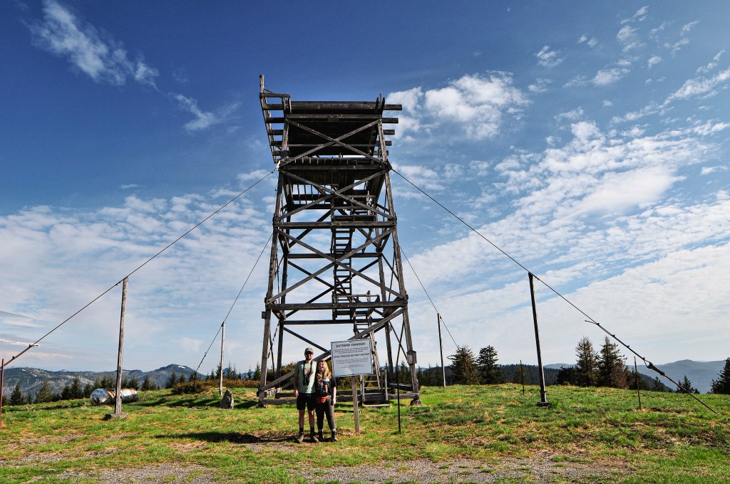
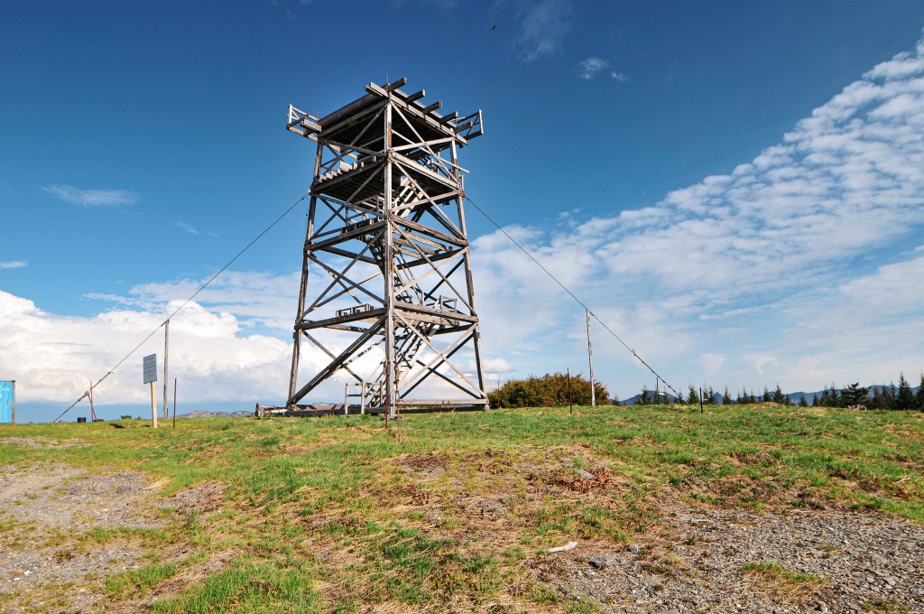
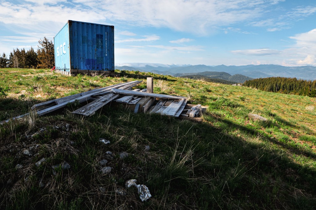
I originally thought we’d have to head back out the same route we came to NF-33 and then back up NF-3318 to access Wildhorse. But, after making it to the gate for Snow Camp we realized the NF-3680 road we were on connected to NF-3318. There was even a sign for Wildhorse L.O. at the junction stating it was only 6 miles away. The main concern from here were the road conditions. We took a sharp right turn onto NF-3318 from NF-3680 and started to weave our way up, down, and around ridge lines. The road was in fairly decent condition with some rocks and potholes to avoid. We saw another sign for Wildhorse L.O. at a four way junction with NF-240 and NF-304. We only had 2 more miles to go and continued straight to stay on NF-3318. The NF-200 spur road is just past the Wildhorse campground off to the left. It does have a gate and you will need to walk the remaining distance to reach the lookout. If you are coming up from NF-33, Jerrys Flat Road, it is roughly 10 miles up the NF-3318 road before the campground on the right hand side instead. The paved portion coming up from Jerrys Flat Road is in decent condition, but it had some pot holes to watch out for along the way. We parked at the gate and started our walk. This was one we didn’t worry about blocking the gate. We knew there would be no one trying access this road at 5:30PM on a Saturday during a holiday weekend. It was only a half of a mile up the road to the fire lookout. The ranger we spoke with in Gold Beach advised not to attempt to climb the tower, but there is nothing blocking you from doing this. Climb at your own risk. The super structure is the only portion left standing since the cab was removed some time ago. I read that the Sand Mountain Society was planning on refurbishing this lookout, but that was some years ago. There was a cargo container near the structure that I assumed housed materials for this project. Older photos of the lookout didn’t have this container on the summit, so I hope this is a sign that someone plans to work on it soon.


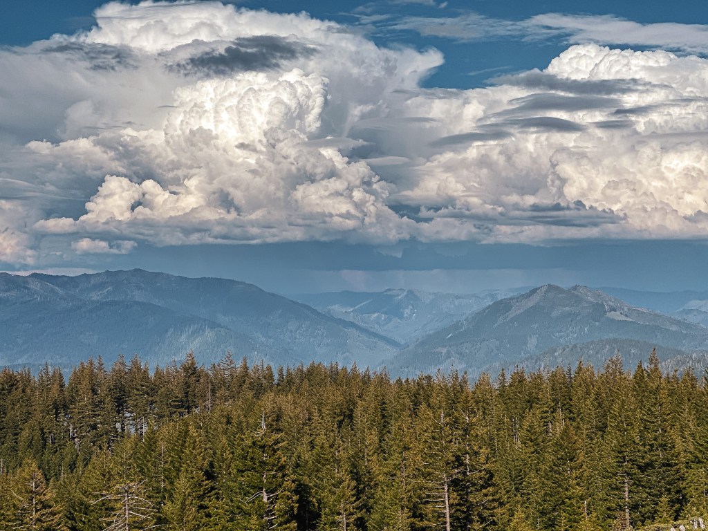
There were some thunderheads off in the distance and some other neat clouds that looked like they were pouring over a ridge. We still had to find a camp for the night, so we made a quick trip back to the car. The Wildhorse C.G. had limited spots and was already full when we drove past it. Our only option was to continue on our route and hope we found something along the way. We passed an old mine that had two camp spots at the edge of the tailings, but we both decided we wanted to keep searching incase there was something better. We drove all the way down to where the NF-3318 road turns to pavement with no luck. We turned around and made our way back to the tailings camp. It was only for the night anyway. We’d be heading further into the forest on NF-33 in the morning.


History.
The first structure on Wildhorse was a fireman’s cabin built in 1929. According to “A History of the Siskiyou National Forest”, they authorized building an R1 type cabin on a tower in 1931 to help combat fire hazards more successfully. The NHLR and Rex’s site note a 40′ pole tower with gabled L-4 cab being built in 1935. It was briefly used for the Aircraft Warning Service during World War II. The current structure was built in 1947 as a 40′ treated timber tower with 14’x14′ L-4 hip-roofed cab. It was last staffed by the Coos FPA in 1998. The cab didn’t collapse until the winter of 2007-2008 under heavy snow. The Sand Mountain Society removed the crumbled cab the following summer in hopes to start work on it. The superstructure is all that still remains on the summit.