Location.
Rogue River-Siskiyou National Forest
Status.
Currently standing
Estimated drive time from Portland, OR.
6-1/2 hours
Date visited.
May 10, 2025
Elevation.
5,098′
National Historic Lookout Register.
US 51, OR 9
Trip Report.
I learned a new term on the way back from our most recent trip to the Kalmiopsis wilderness. Kalmiopsised. As far as I can tell this was a term coined by the Northwest Rafting Co that does commercial rafting trips to this area. It is the best description I have found to explain the appeal and hardships that come from visiting the Kalmiopsis wilderness.
Kalmiopsised [Cal-mee-opp-sis-ed] – adj. 1. being cold, wet, exhausted, and happy in Oregon’s Kalmiopsis Wilderness. 2. in pain and despair in a rugged, harsh place with a big smile your brain is trying to relay to your face muscles.
We have been to the Kalmiopsis wilderness a handful of times now. Our first trip was just last year during the 2024 Memorial Weekend, where we planned a 5-day backpacking loop through the eastern side of the wilderness. The second trip was for Garnet’s birthday and focused solely on reaching the fire lookout on Pearsoll Peak. Our most recent trip(s) were for Garnet to complete the 50-mile Leech Loop through the wilderness. I had backpacked into Babyfoot lake both times to send him off and pick him up. Each trip has offered memorable challenges and left us wanting to return for more. The below report will detail the relevant sections of trail from these trips that you can take to reach Pearsoll Peak.
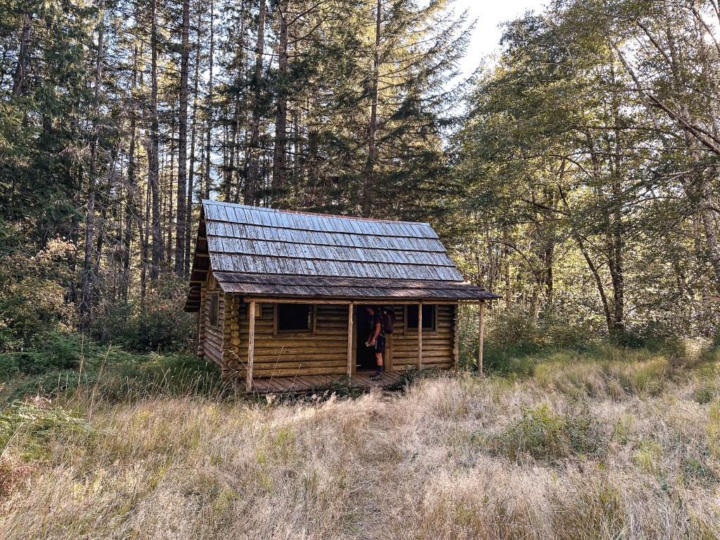
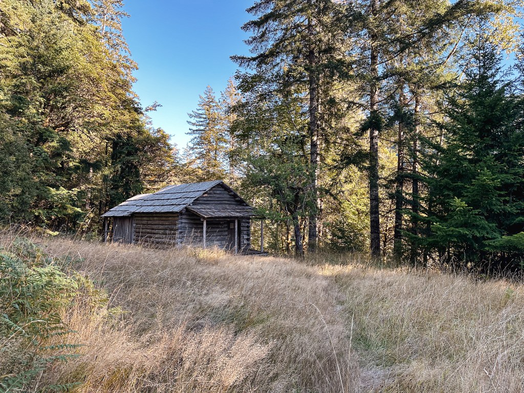
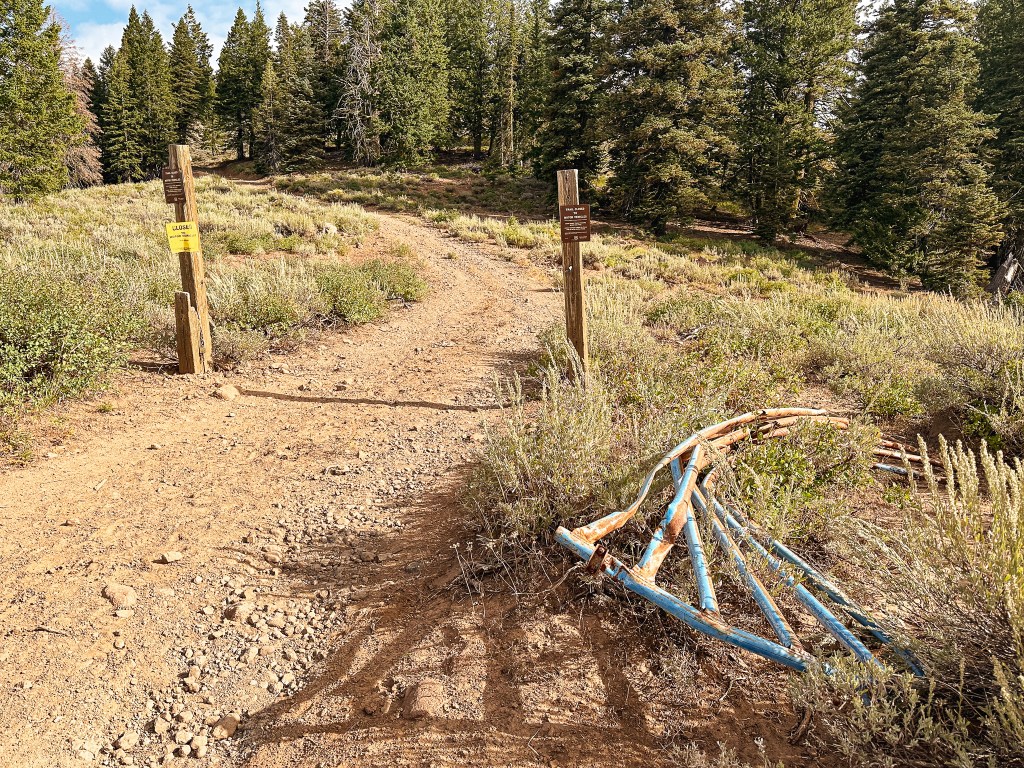
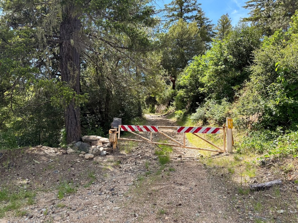
The Chetco Pass trailhead is the main access point to reach Pearsoll Peak. From there, the hike is moderate in length and elevation along the old roads that now make up the “trail”. The variance in routes comes from how you decide to get to Chetco Pass. The access road is gated in the rainy season from end of September to beginning of June. It is narrow, rocky, and full of erosion issues not suitable for most vehicles. If you drive a low clearance vehicle, like us, the only way to reach Chetco Pass is via hiking. Unfortunately, this turns a relatively moderate day hike into a strenuously long one. We opted to break up the distance and spend more time in the area by turning this into a backpacking trip. Please note the fire lookout is not open for overnight stays at this time and is currently secured with a lock bar – do not plan on camping in the lookout. If you are hiking your way to Chetco Pass, the closest starting points are going to be from the McCaleb Ranch area or the Kalmiopsis Rim trailhead.
McCaleb Ranch Access to Chetco Pass
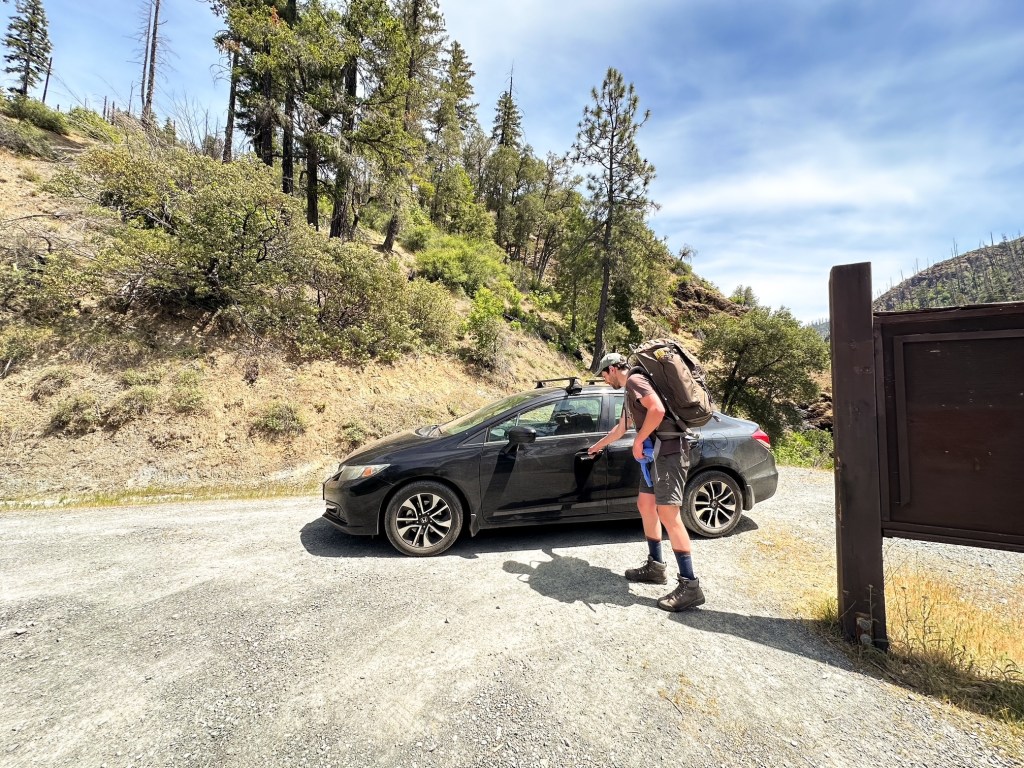
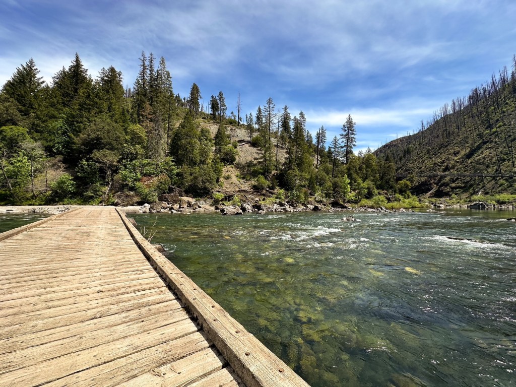
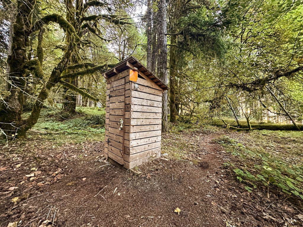
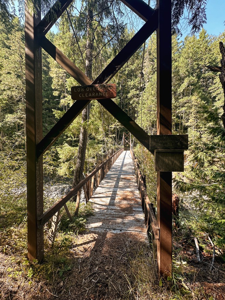
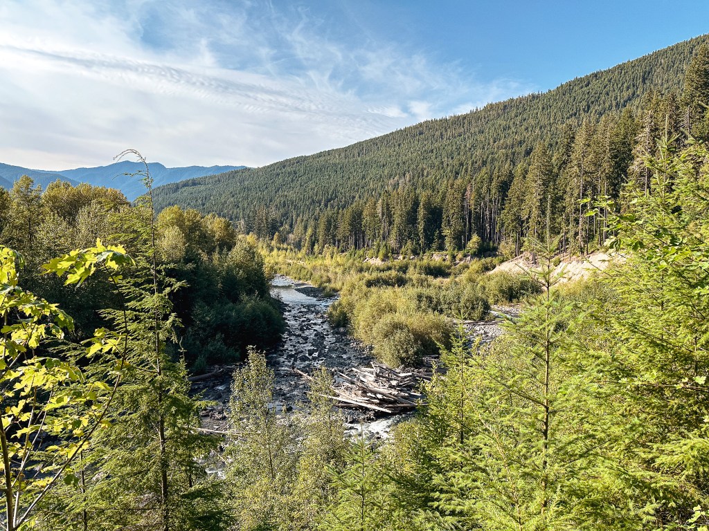
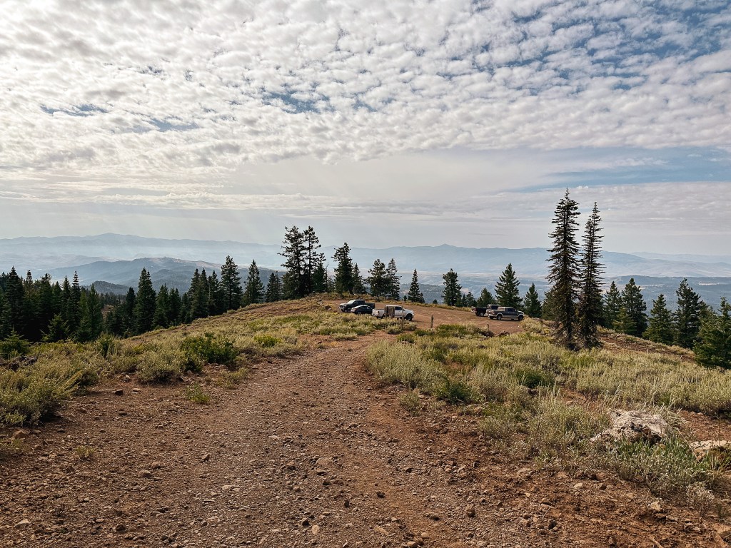
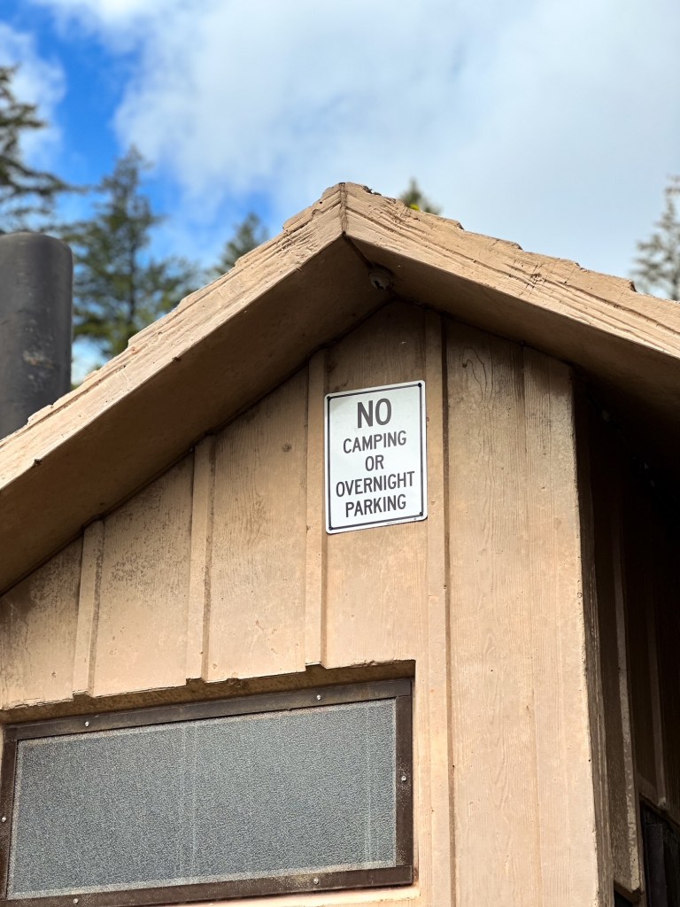
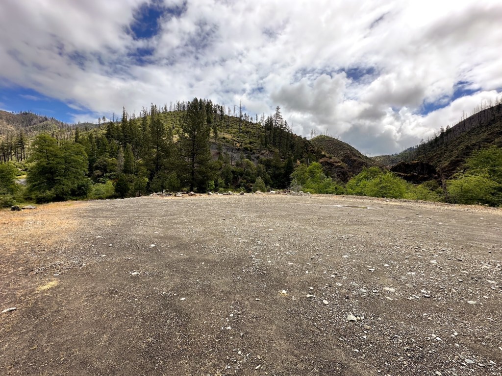
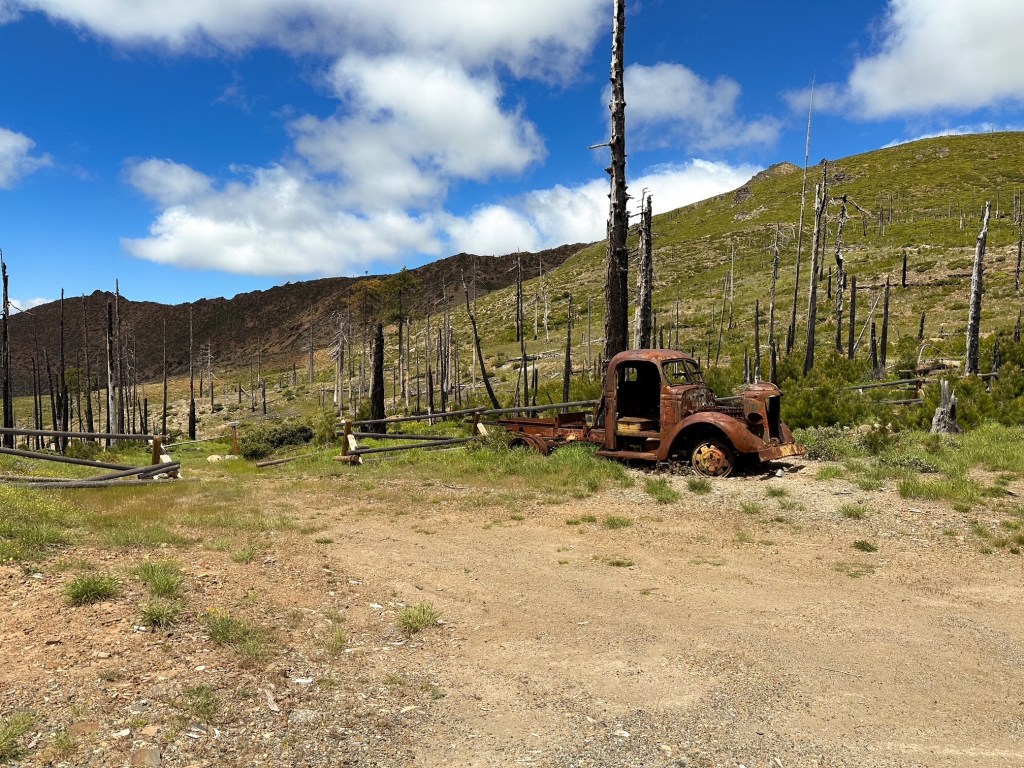
From Grants Pass, we followed HWY-199 until we reached Selma. We turned right onto the paved Illinois River Road that leaves directly from the community. We stayed on this road until we reached the unsigned junction with NF-087 off to the left that heads steeply down to the McCaleb Ranch. The junction is located where the pavement ends and the road splits off from a wide turn around area. The Illinois River Road is paved most of the way to this junction minus one short section of gravel in the middle. There are some potholes to avoid along the route, but we were able to maneuver around them. You will also pass a major junction with NF-4105, stay left to continue on the Illinois River Road. It should be obvious since NF-4105 is not paved. The biggest hazard along this route is meeting oncoming traffic. The road narrows the farther you drive and it is not wide enough for two passing cars except for when there is a pull out to utilize. You will know you are close when you pass the Store Gulch Campground. Once at the NF-087 road you have three options for parking. The first option is located at the bottom of the road just below the McCaleb Ranch after you cross the river. This is only suitable for high-clearance vehicles and day hikers. The parking area is large and offers a bathroom, but has signs posted for no overnight parking or camping. There is also a small section just beyond the bridge before you reach the trailhead that is not passable to low clearance vehicles. If you are attempting to drive all the way to Chetco Pass you would follow the directions to this trailhead and continue beyond the yellow gate from there. The second option is to park at the trailhead for the swinging bridge, I believe the official name is the Fall Creek trailhead. This is located along the first sharp bend of the NF-087 road. This is where we decided to park our car. It was slightly confusing on if we could park here given the two No Parking signs posted on each side of the trailhead. We ultimately decided those were meant to keep people from parking on the edges and potentially blocking the road. The old signboard here offers no information and the historic swinging bridge is currently closed to pedestrians due to some structural concerns. From what we found online, the Forest Service does plan to repair the bridge eventually but it is a slow going process that is not as simple as it seems and even more so with our current administration in place. If you want to avoid any confusion or are worried about traction issues, your third option would be to park at the junction at the top of the NF-087 road and hike down from there.
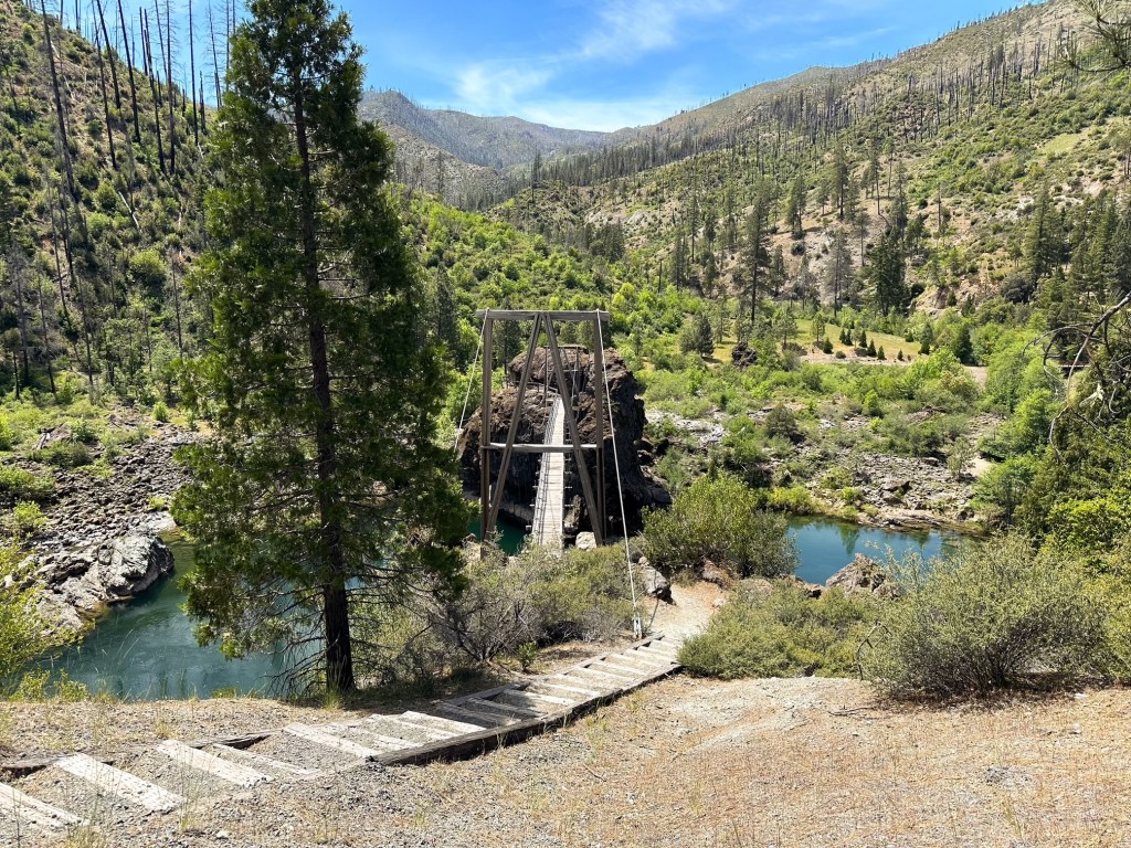
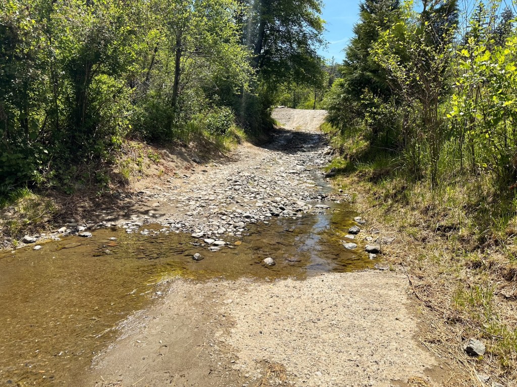
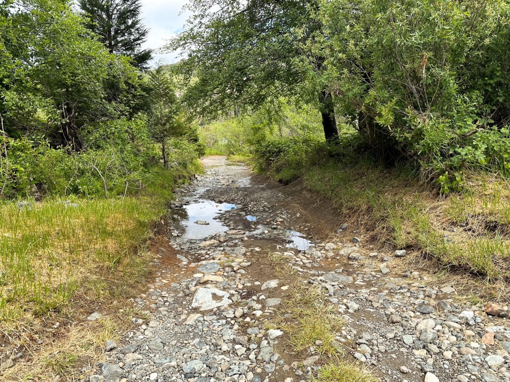
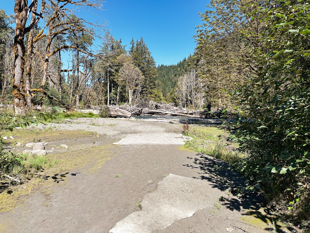
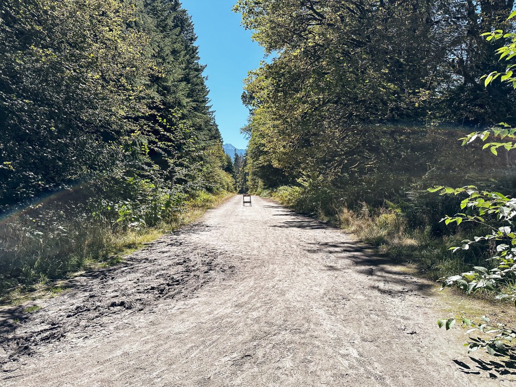
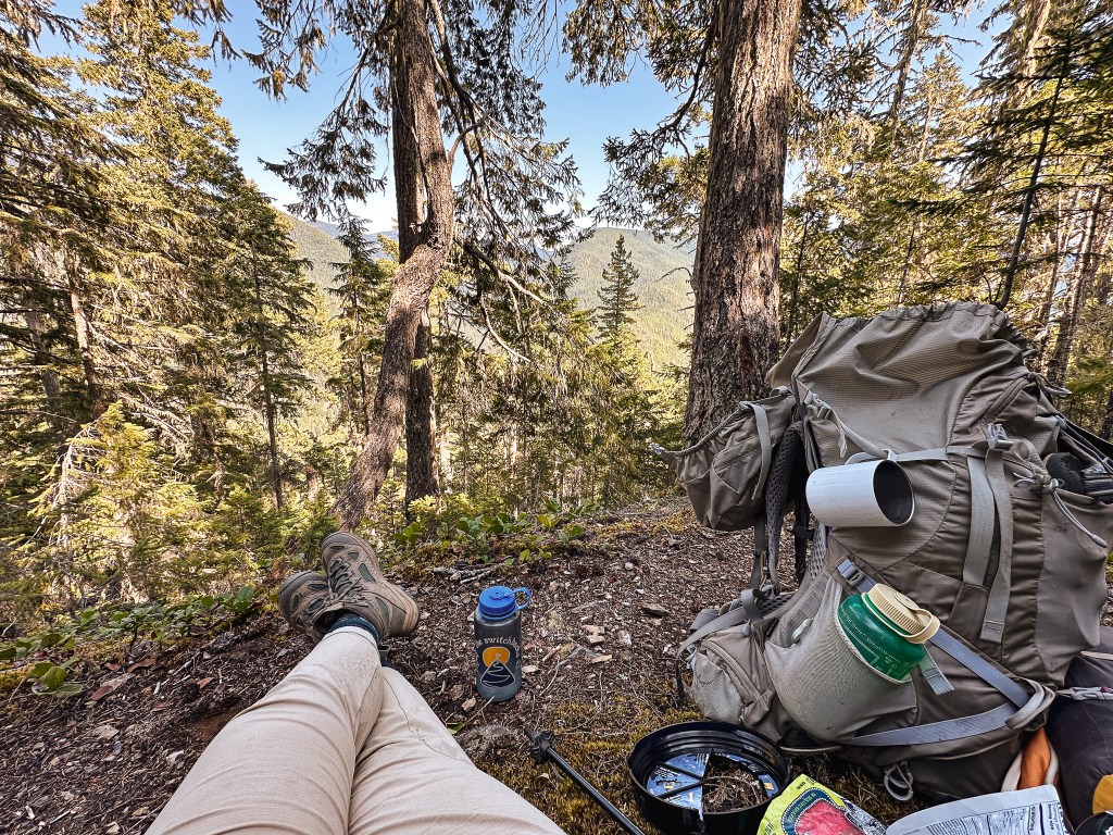
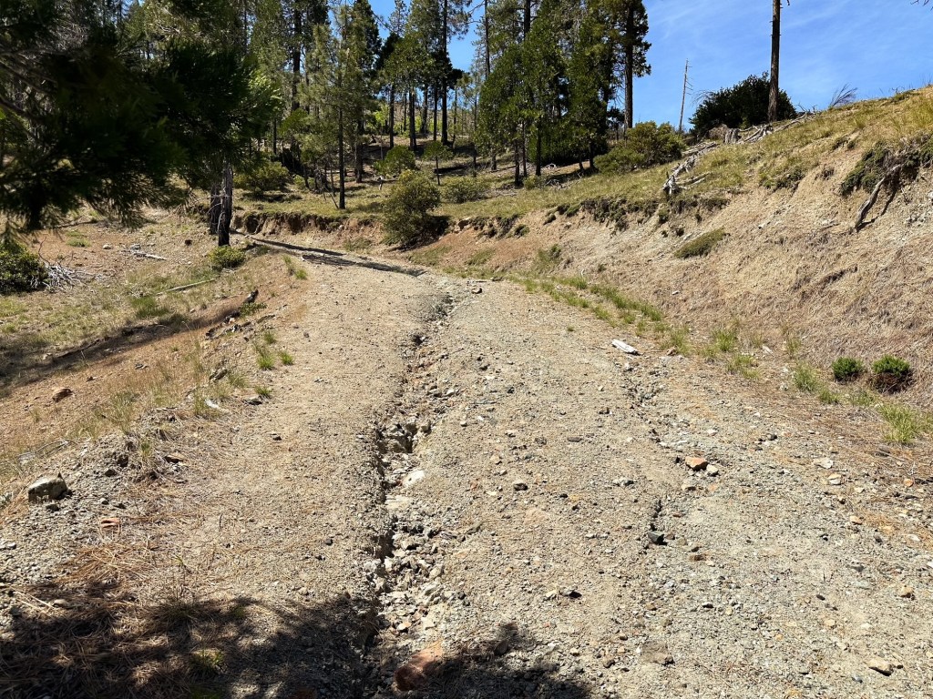
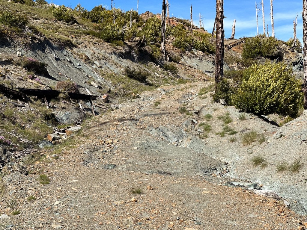
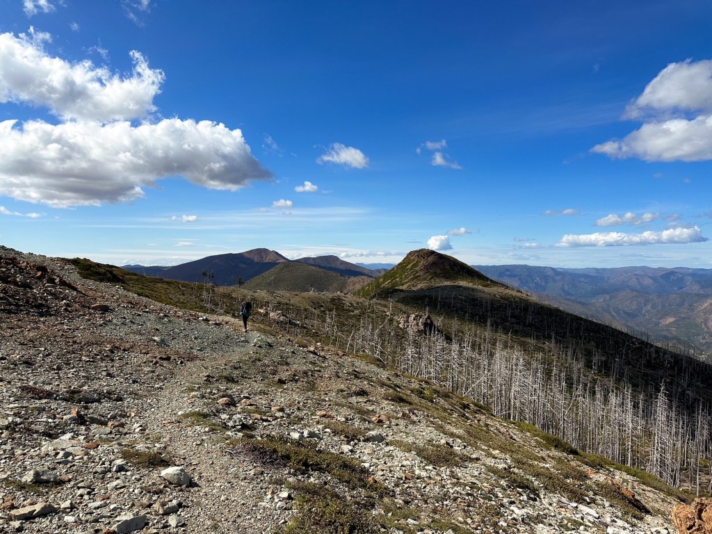
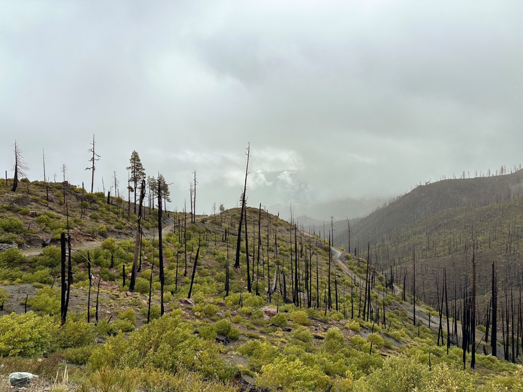
We reached the trailhead just after noon and had a quick lunch before saddling up with our packs to hike the road. We knew we had at least 4-1/2 miles of road walking to reach Chetco Pass and planned to find camp just beyond along the Slide Creek trail. The temps were forecast for a high in the low-60s and mostly sunny, but with the exposure and weight of our packs it ended up feeling much warmer. We had to hike down the road and cross via the vehicle bridge due to the swinging bridge closure. Once across the Illinois River, we headed towards the yellow gate at the back of the parking area. The only other gate is posted with private property and no trespassing signs for the McCaleb Ranch behind the bathroom. There is also a bridge that leads to the Fall Creek Trail off to the left. The road wastes no time gaining elevation and we took breaks often in what little shade the few trees had to offer. The condition of the road is deteriorating and I wouldn’t be surprised if they end up permanently closing the gate at some point instead of making the needed repairs. There are some sections that are not that bad, but there are major erosion issues happening that will make it difficult for most vehicles. The worst of it was about a mile below the pass on a tight switch back. The water run-off cuts deep through the road and a small section has eroded away to no more than the width of an ATV. You would most likely have to put one of your wheels on the side slope or off the road completely to fit a standard vehicle past this point. These are just cautionary warnings since the road is narrow, rocky, soft bedded when wet, and does not offer many turn around points if you decide to abort part of the way there. It’s obvious this road does not see much traffic just from the amount of shrubs and grass growing through it.
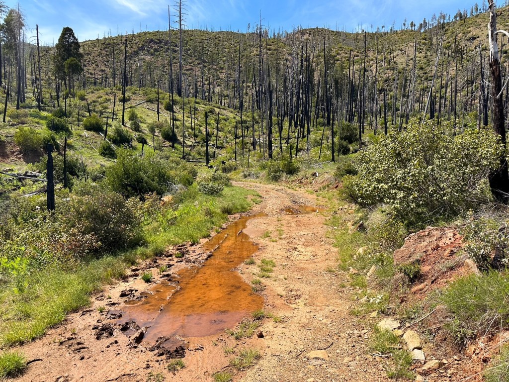
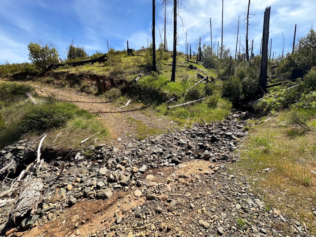
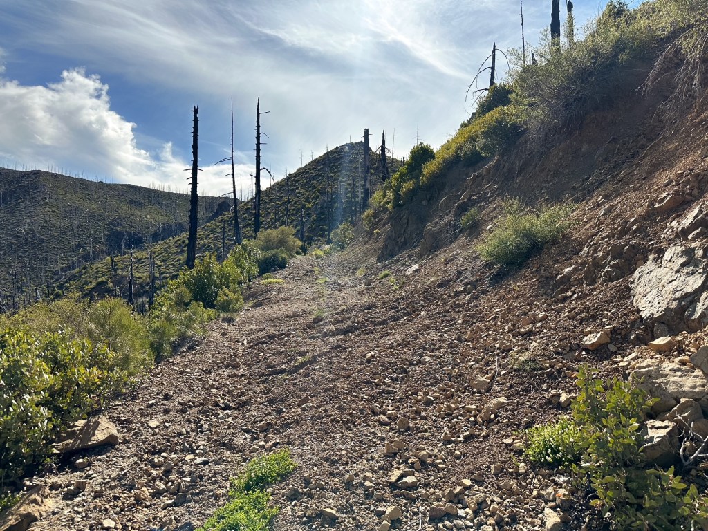
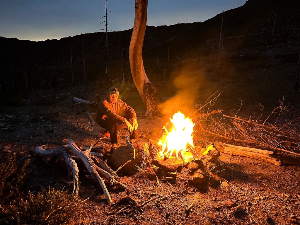
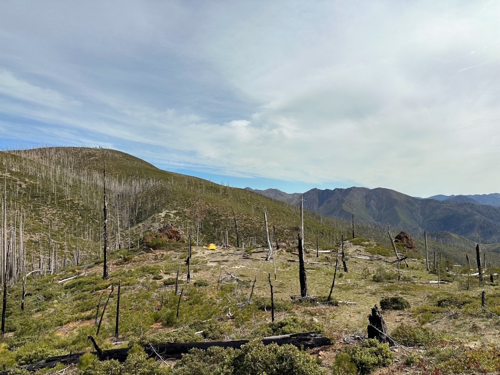
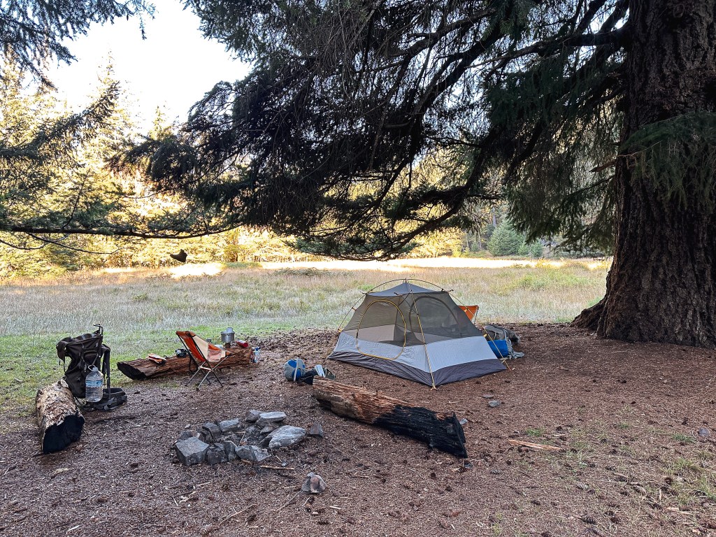
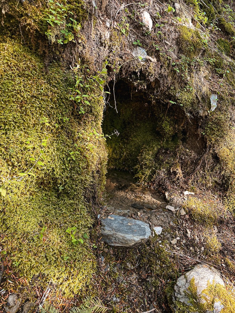
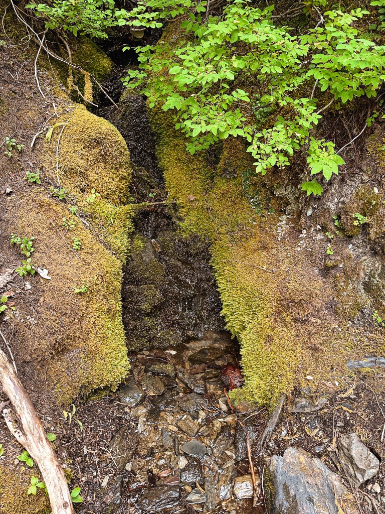
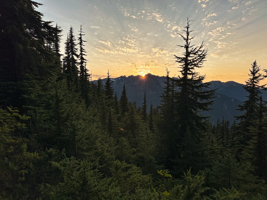
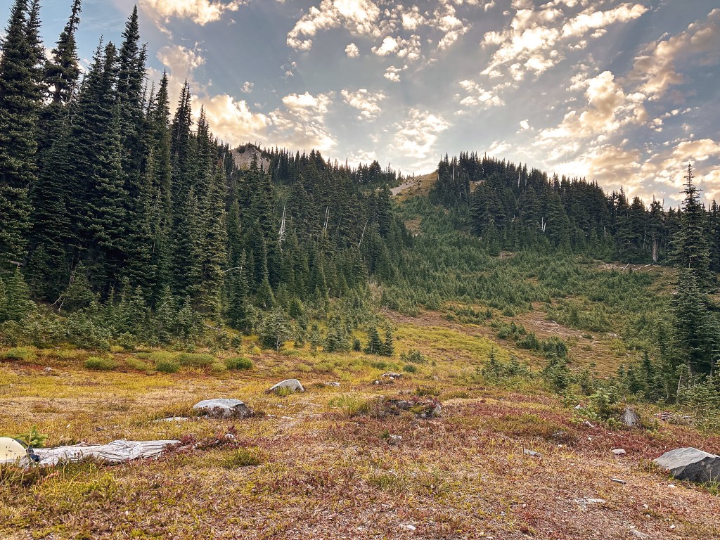
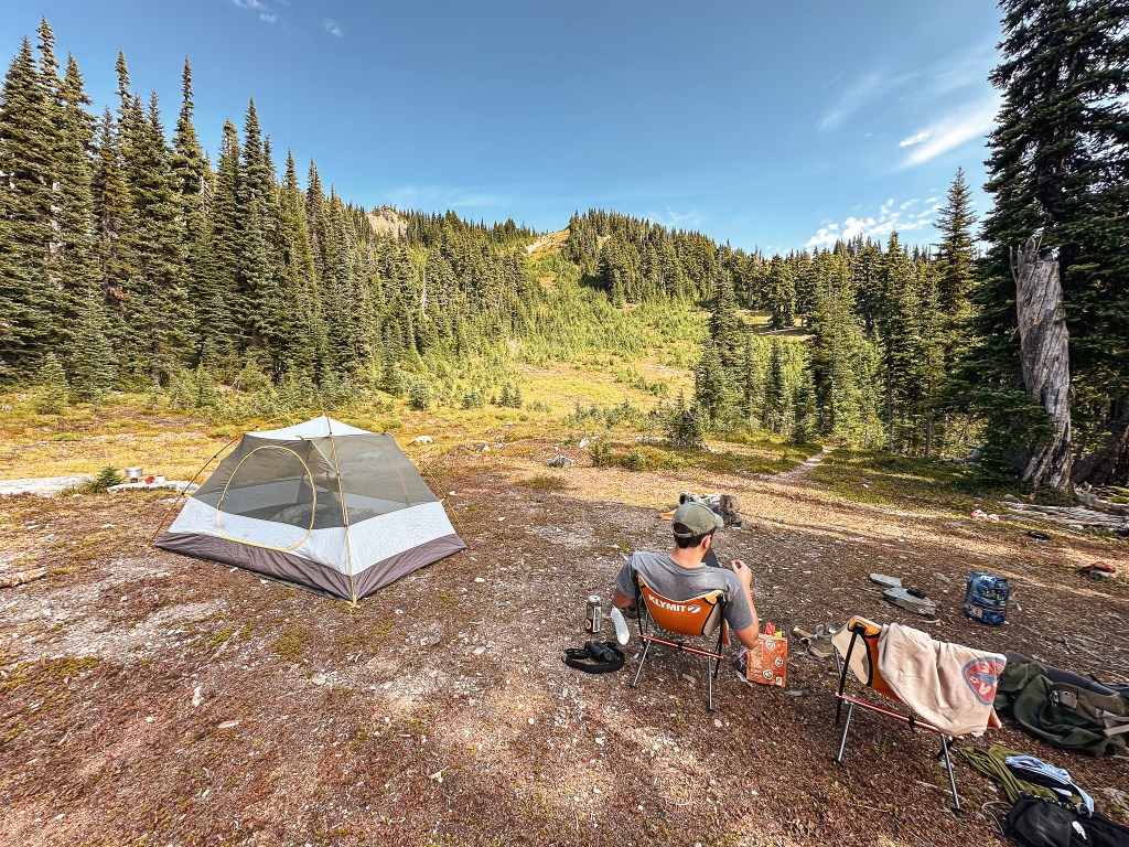
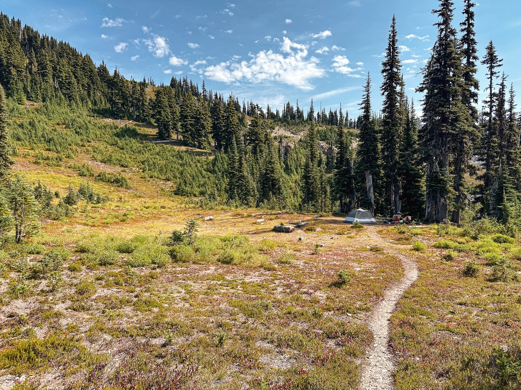
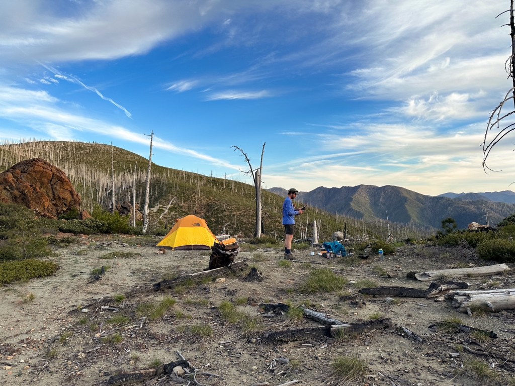
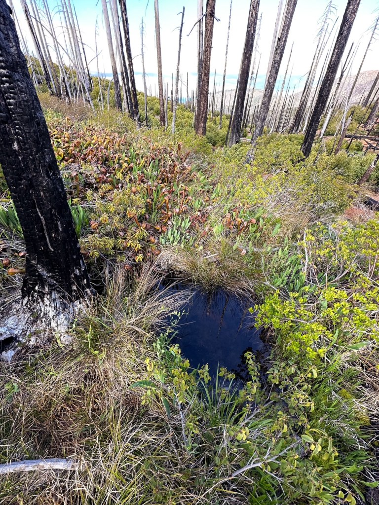
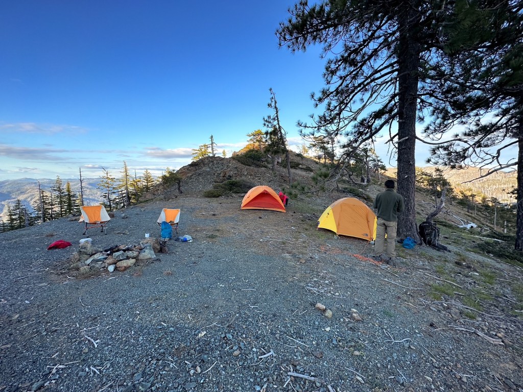
I eventually fell behind Garnet and started to struggle with my calves trying to seize into a charlie horse. I was probably less than half a mile from the pass when my calf cramped. I was frustrated because I had drank almost all of my water and wasn’t even over exerting myself. One water bottle was even full of electrolytes. I felt fine in every other aspect, but my body obviously needed more water. I had to shorten my steps the rest of the way to keep my calves from cramping again but I eventually made it to the pass with Garnet waiting. I won’t even bother telling you how long he had been waiting for me. We continued straight to head down the Slide Creek trail in search of a camp. We knew there was a decent one at least a mile down, but ended up finding one less than a few 100 yards from the pass that worked perfectly for our base camp. There was a creek not too much farther down the road either. I’m not sure how reliable this water source is for year round visits, but if you are ever in need of water in this area look for the Darlingtonia plants. They grow where the water sources are most concentrated. Strava tracked my mileage from where we parked to our camp at 5 miles with 2,650′ of elevation gain. I took a screen shot when I reached the pass of the mileage and it was around 4.85 miles. The elevation gain would have been the same since we only headed down to reach camp.
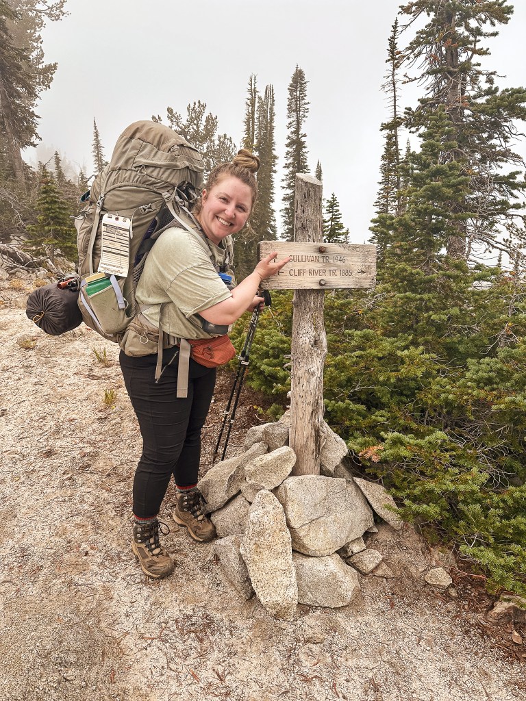
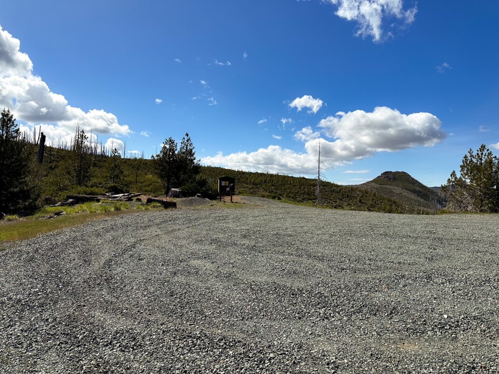
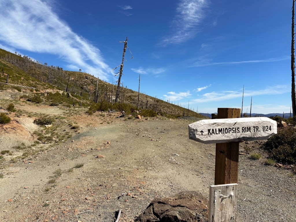
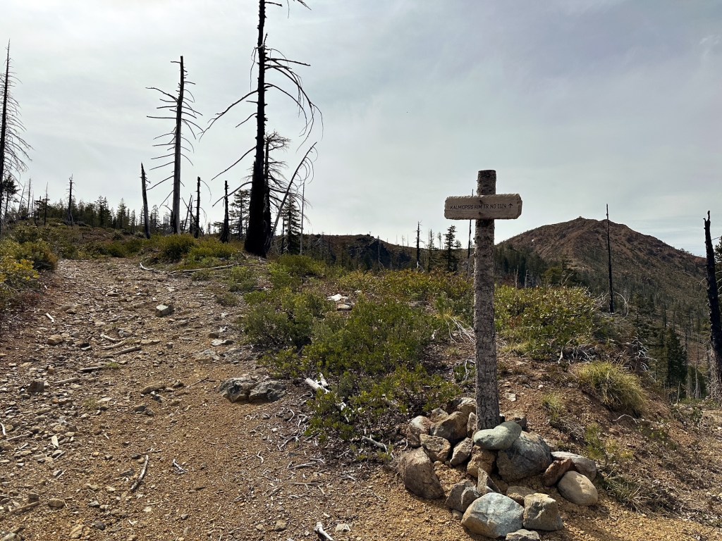
Kalmiopsis Rim (Onion Camp) Trailhead to Chetco Pass
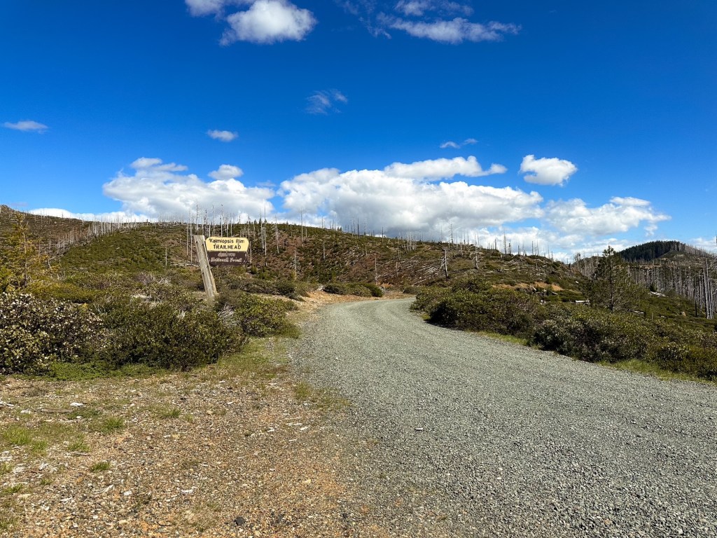
From Grants Pass, we followed HWY-199 past Selma until we reached the paved Eight Dollar Mountain Road off to the right. It’s on a curve in the highway with it’s own turn lane. If you reach the community of Kerby you have gone too far. The Eight Dollar Mountain Road narrows to a single lane beyond the gate and eventually turns into the NF-4201. It becomes gravel after crossing the bridge over the Illinois River. There are a few deep potholes in the paved section of this road but all are currently avoidable. You will stay on the NF-4201 road until you are almost to the Babyfoot Lake Trailhead. Just before you reach the Babyfoot Lake TH, you will turn right onto NF-142 and follow this to the Kalmiopsis Rim Trailhead (sometimes referred to as the Onion Camp TH). The gravel conditions are good for the majority of the drive and passable to low clearance vehicles. Some caution is required though. The last six miles has the majority of hazards as the road narrows and becomes rockier. There are some potholes and minor high lines but all are currently passable. Your biggest threat is oncoming traffic around blind corners. It is roughly 17 miles from the highway to the trailheads and there is a little less than a mile and a half between the two trailheads. The trail begins to the left of the signboard at the Kalmiopsis Rim TH.
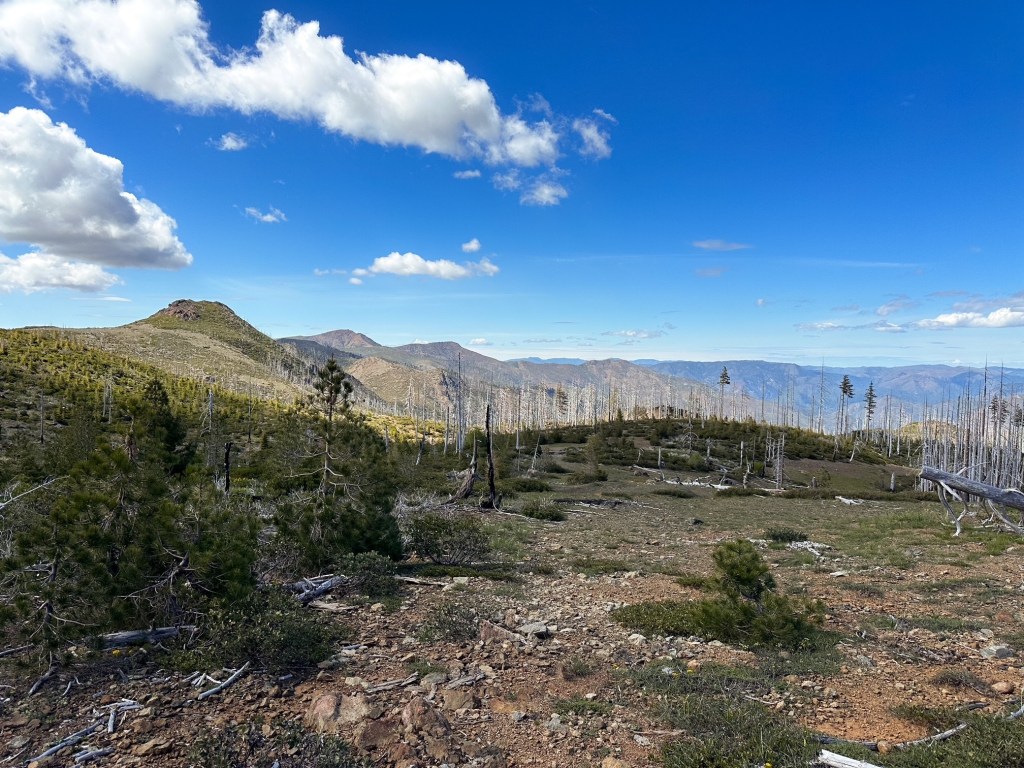
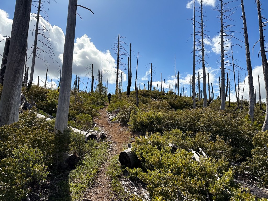
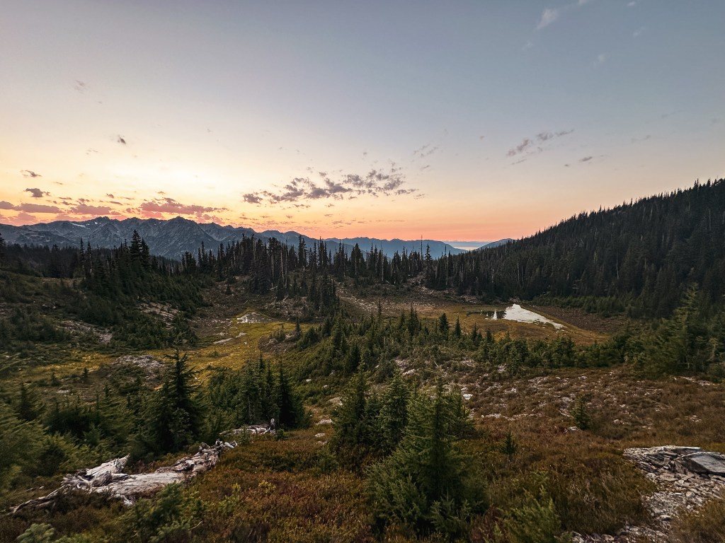
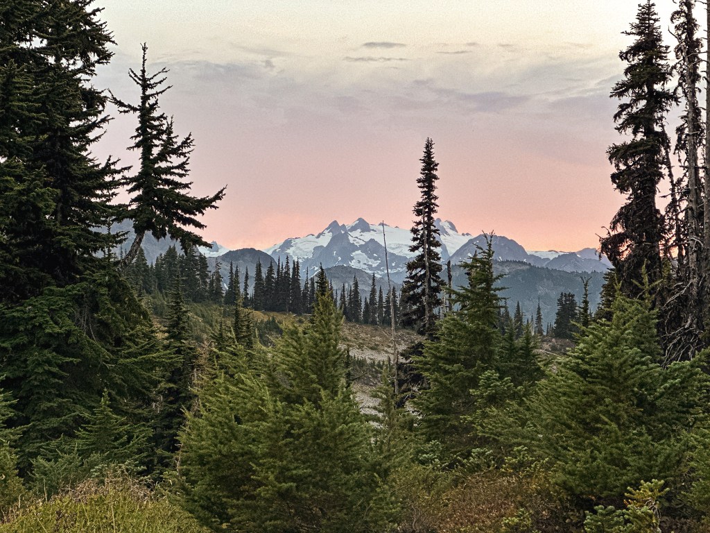
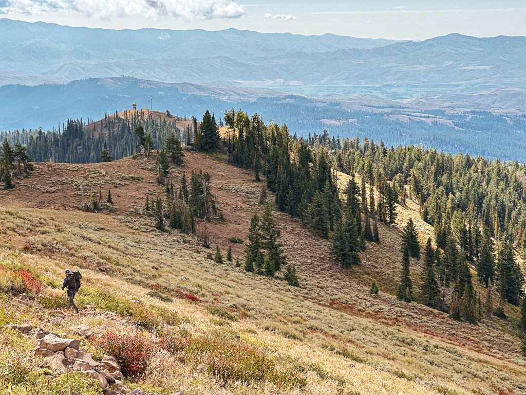
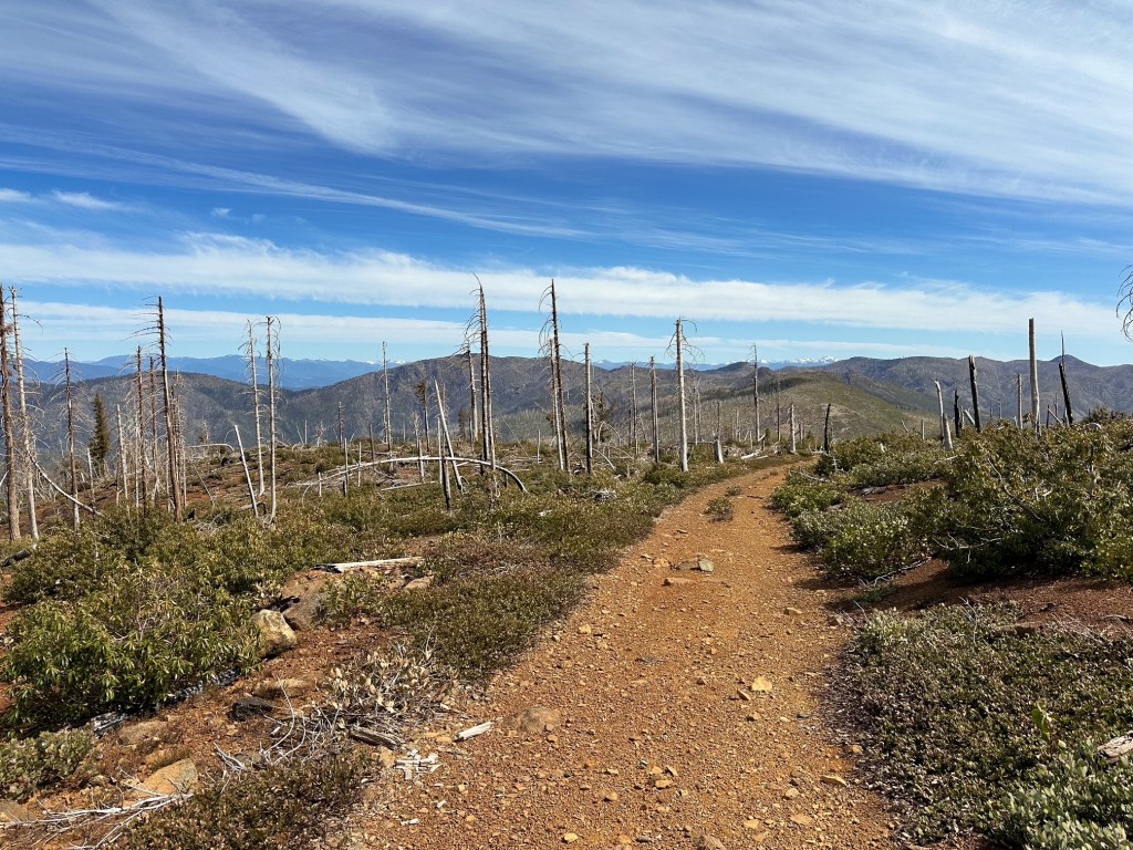
We had hiked the Kalmiopsis Rim Trail #1124 as the start of our route for a 5-day trip through the wilderness. The mileage for this route is estimated based on online information since I didn’t track it on Strava. I opted to conserve my phone’s battery for photos instead. The trail starts out by mildly climbing to meet the ridge line and turning to head towards Whetstone Butte. It drops down on the left hand side of the butte to descend to Eagle gap. Our destination for the night was a dry campsite tucked in a saddle between Eagle Gap and the summit of Eagle Mountain. We didn’t plan on making it very far our first day since we had a long drive from Portland and didn’t make it to the trailhead until after 4PM. We were also traveling with Garnet’s mom for the weekend and had to keep that in mind. There is a spring at Eagle Gap and that is where you would need to get water if you plan on camping in the same spot. You have to drop below the trail on the right side of the gap to reach it. It wasn’t completely obvious where exactly it was located, but we were able to locate it by the Darlingtonia growing around it. From Eagle Gap, the trail becomes faint and steeply climbs to the ridge again. It is roughly 2.75 miles and anywhere from 1,300′ to 1,700′ of elevation gain (I found varying information online) from the trailhead to the summit of Eagle Mountain. I’d estimate the camp spot is about 1/2 of a mile before the summit (a little over 2 miles from the trailhead). These mileages really only matter if you want to break up your route into a backpacking trip like we did.
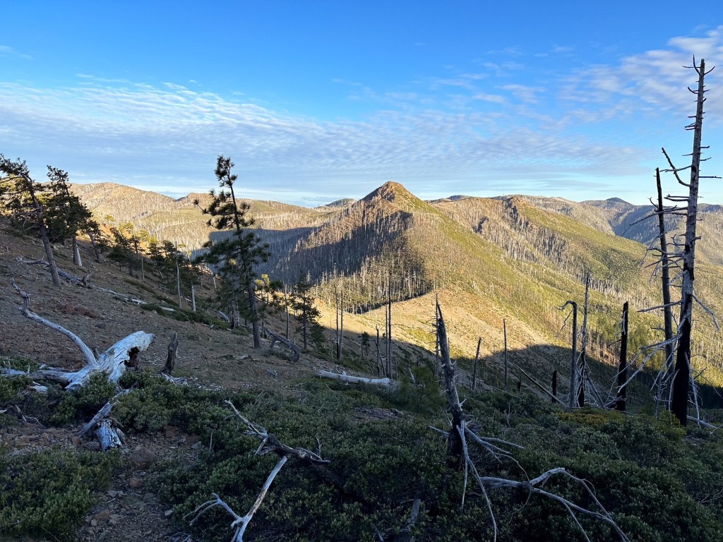
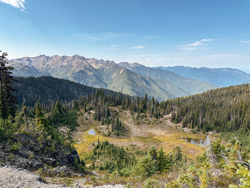
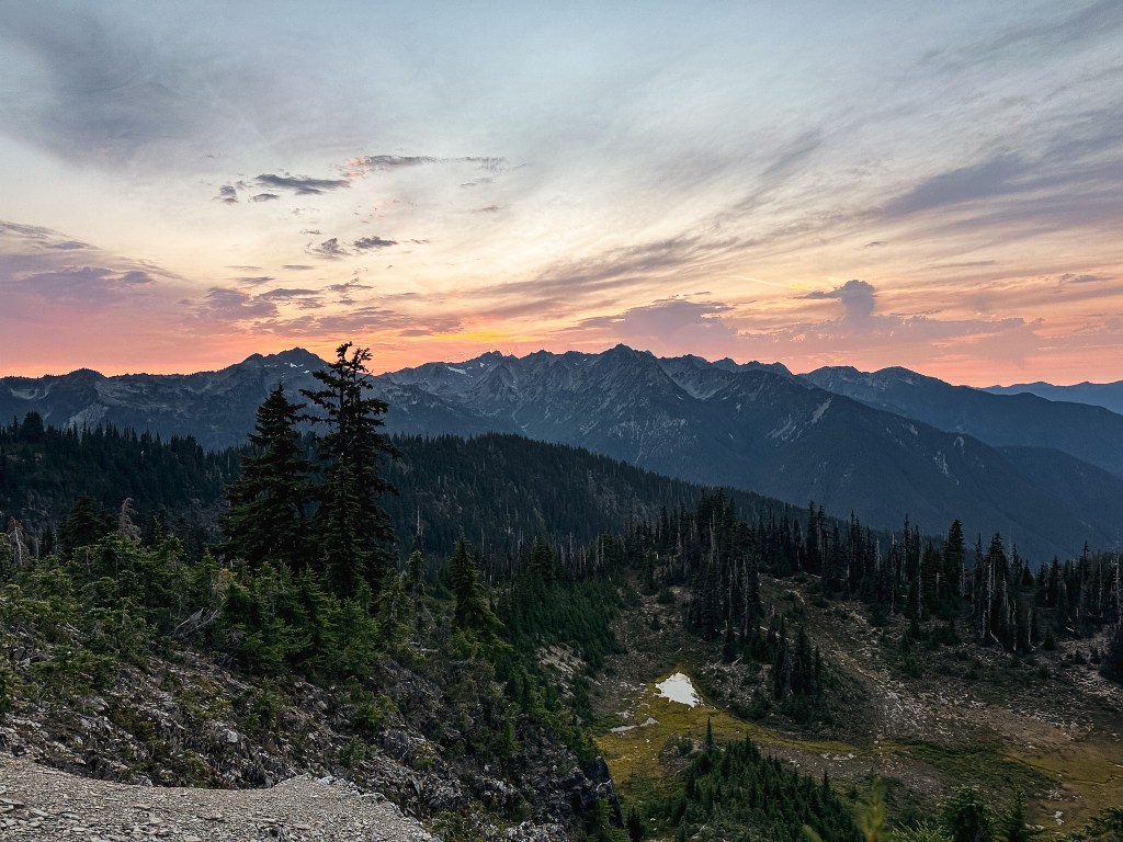
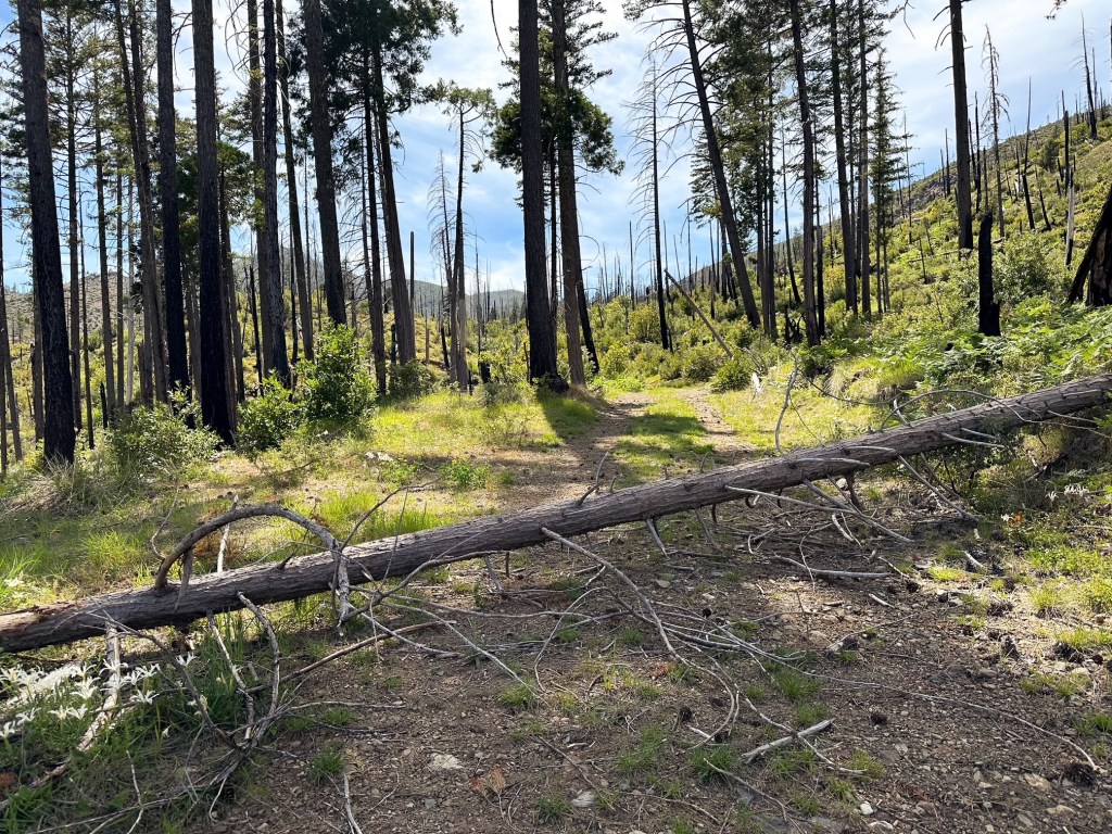
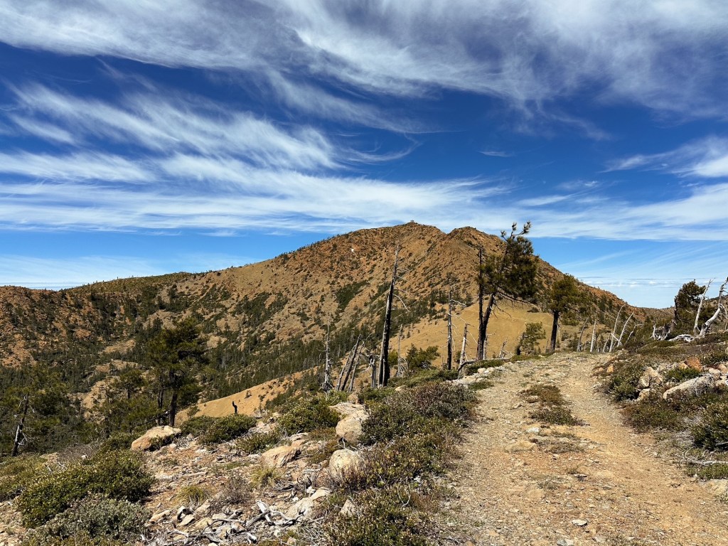
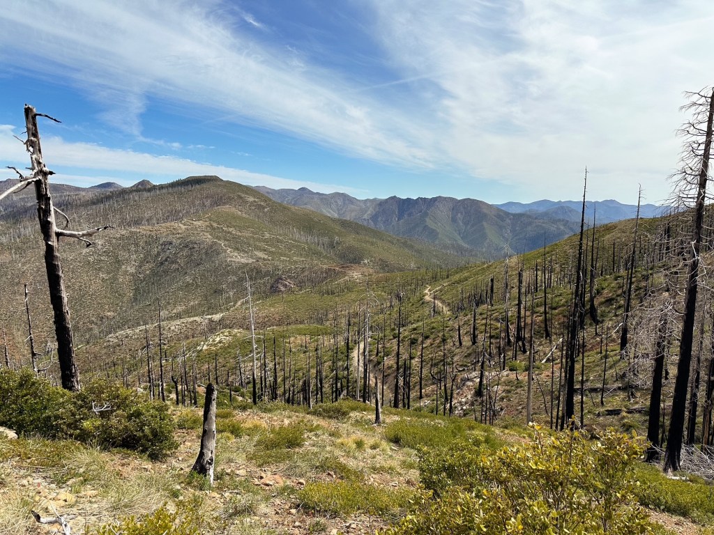
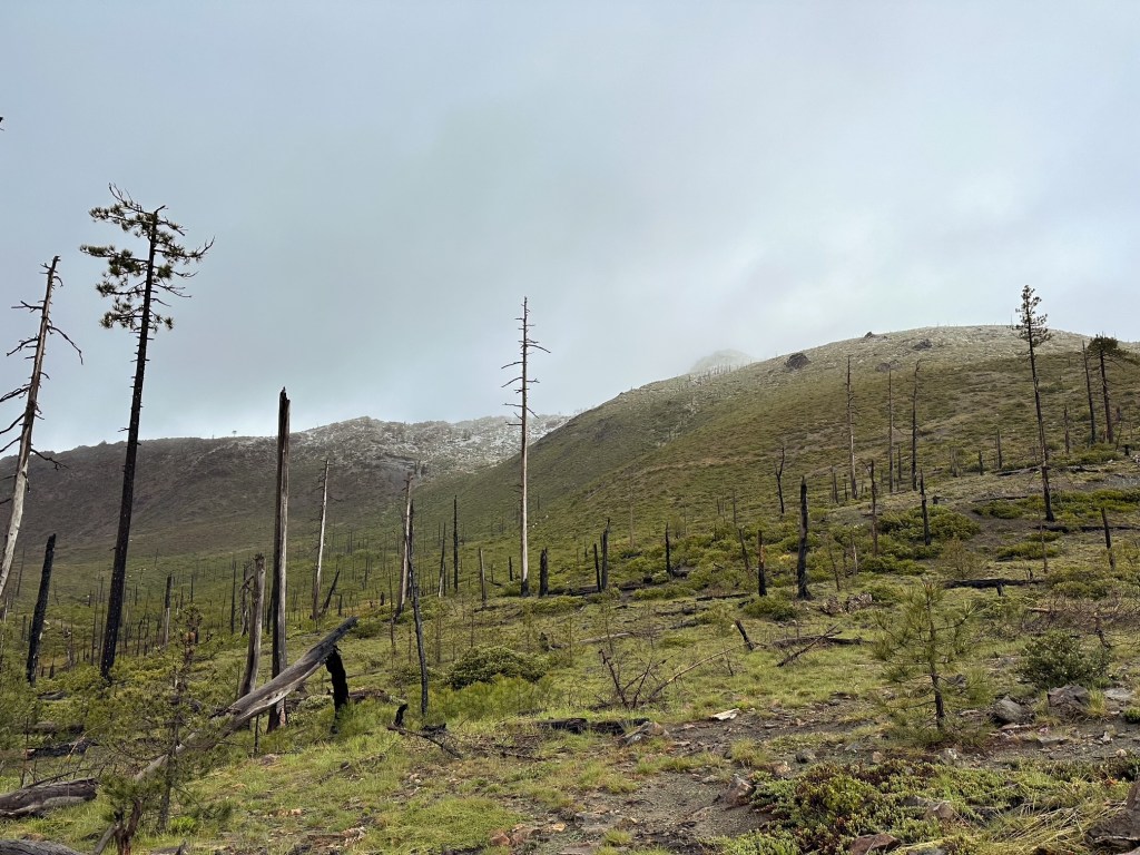
The next morning we woke in a dense cloud with wet gear. We packed up to make the final climb up Eagle Mountain before heading down again to Chetco Pass. I recommend taking a small off trail detour to take in the expansive views from the official summit of Eagle Mountain. There is a small pocket as you are coming down from the mountain that has a few matchstick sections of downed trees to navigate. Once past the treed area the trail widens to an old mining road and you have a clear view of where you are headed. Chetco Pass is roughly 4-1/2 miles from the Kalmiopsis Rim trailhead. You don’t gain much more beyond summiting Eagle Mountain from this route to reach Chetco Pass. You could hypothetically break up your route by camping just below Chetco Pass instead of near Eagle Mountain too. We had hoped we would have had time to reach Pearsoll Peak during this trip but that would’ve required another day for us. Our route for the weekend instead continued down the Slide Creek trail from there to meet up with the Chetco River before heading back up to Babyfoot lake.
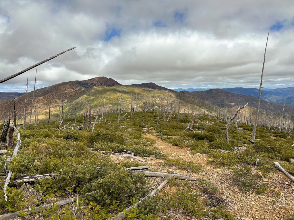
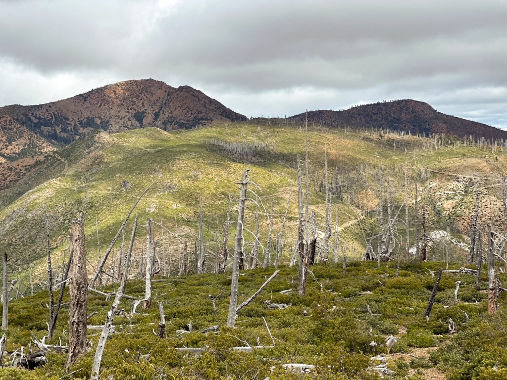
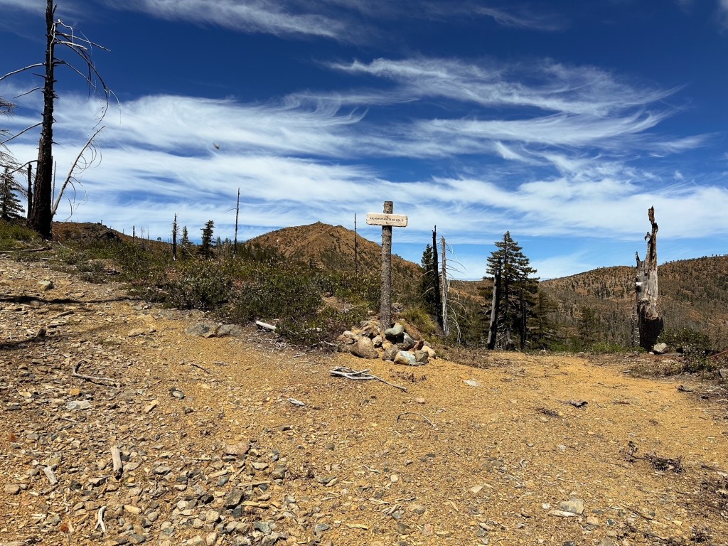
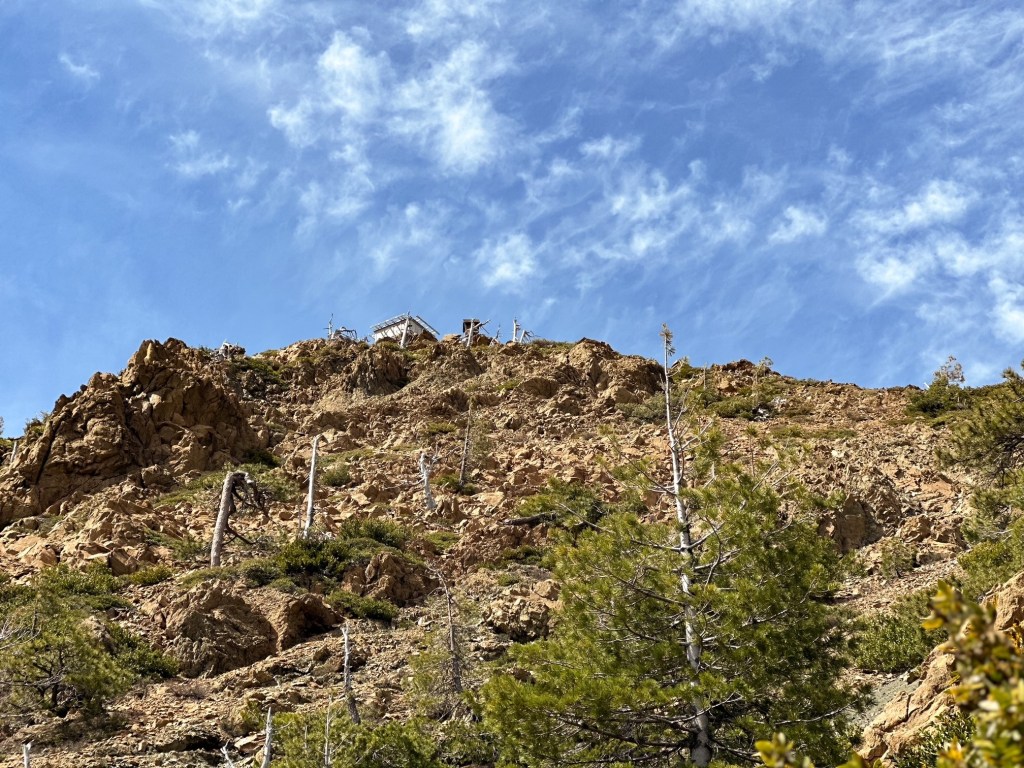
Chetco Pass to Pearsoll Peak
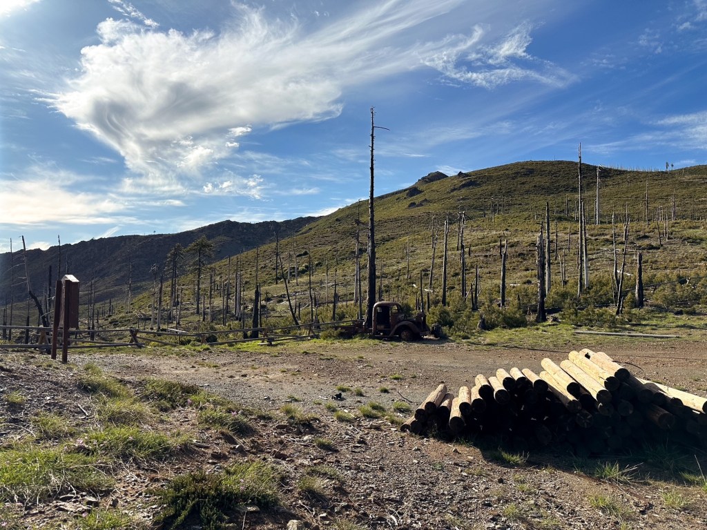
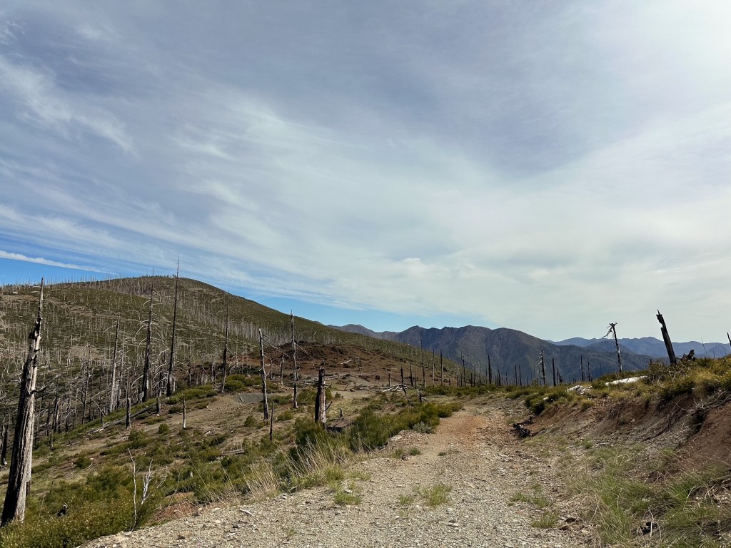
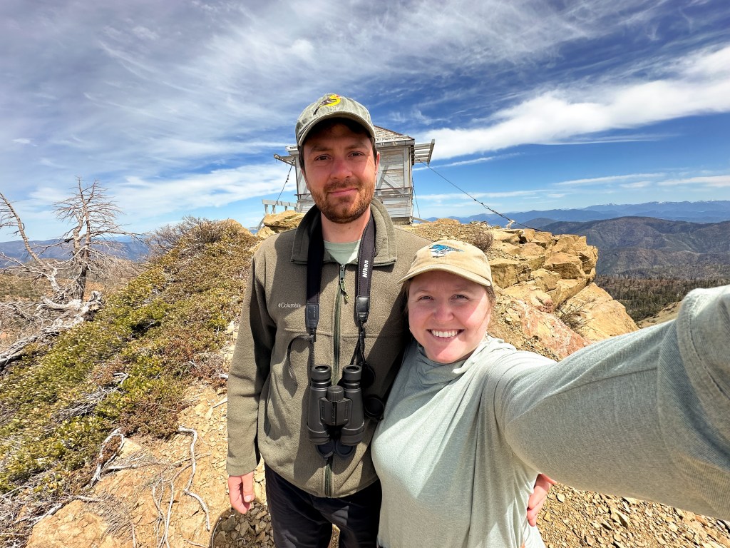
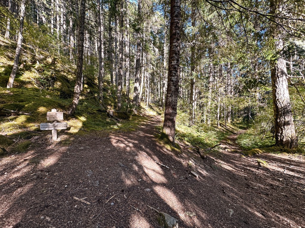
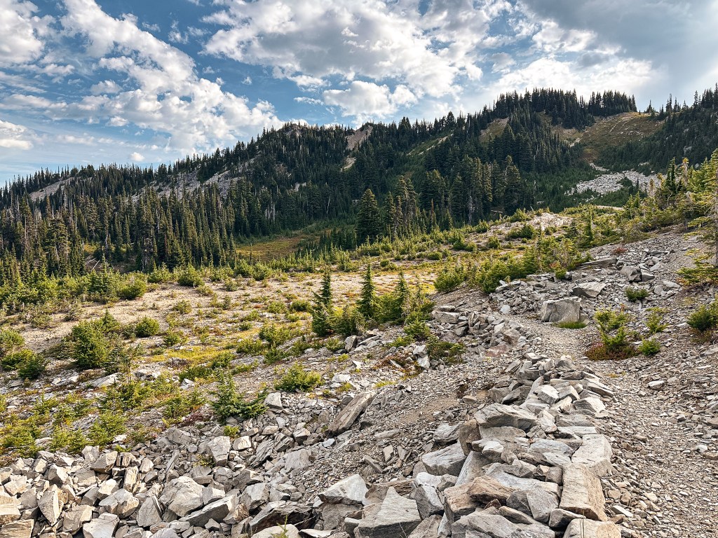
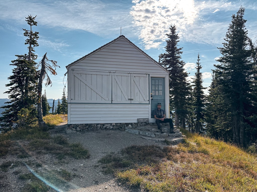
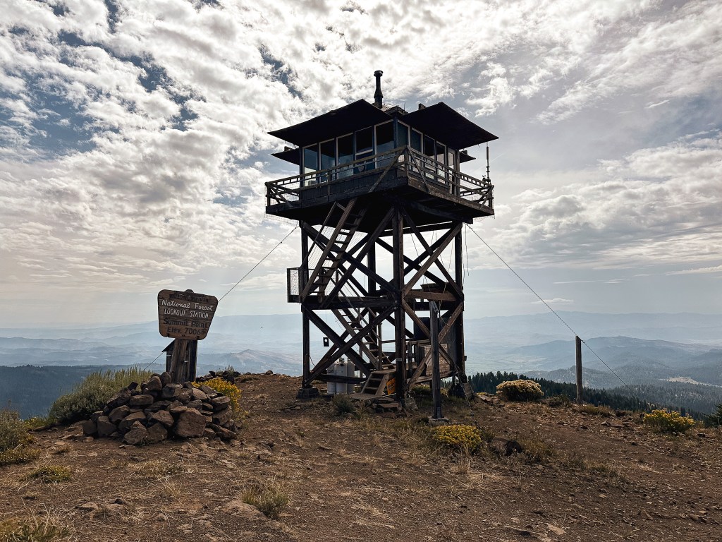
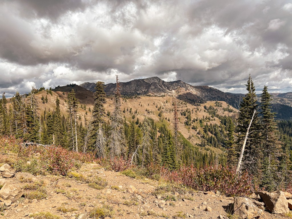
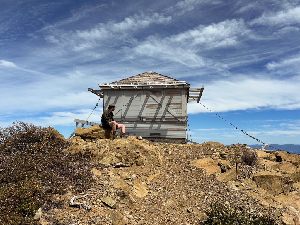
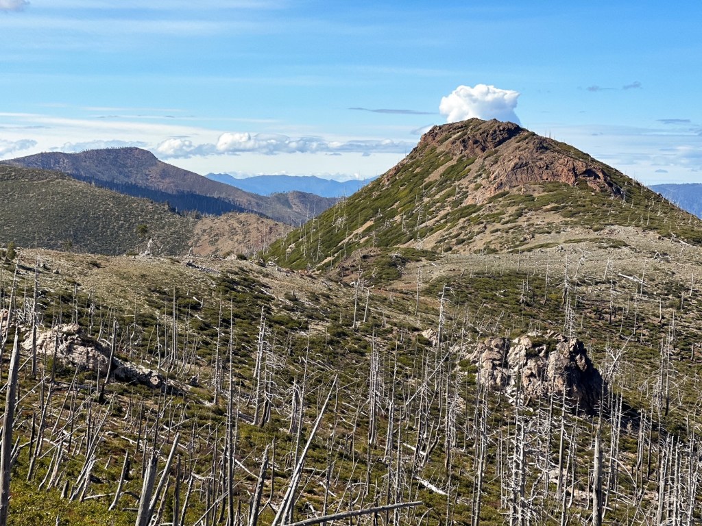
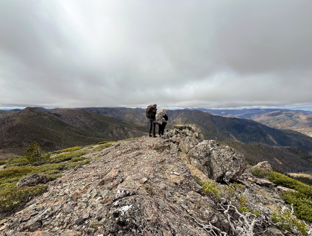
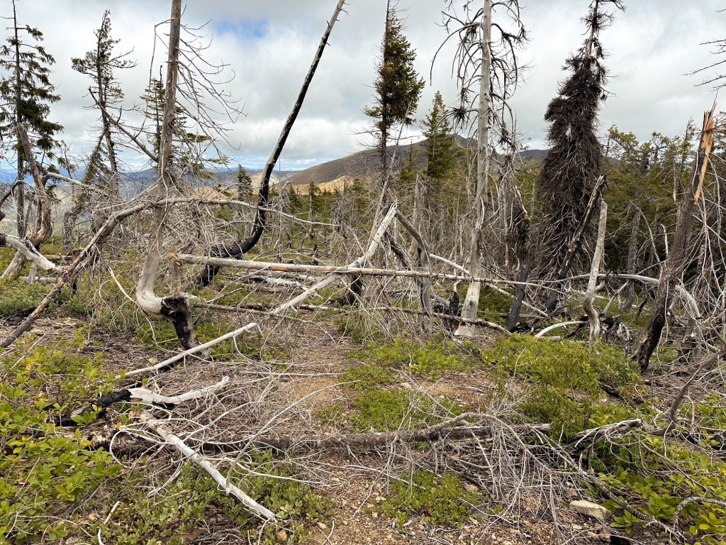
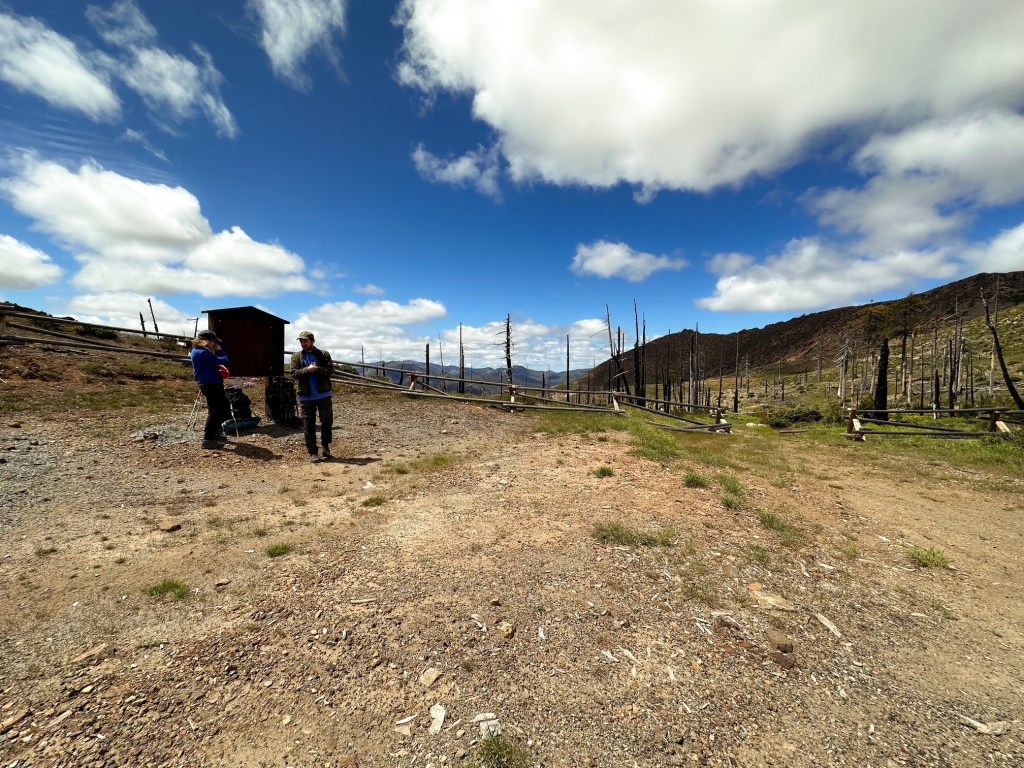
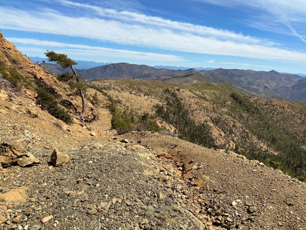
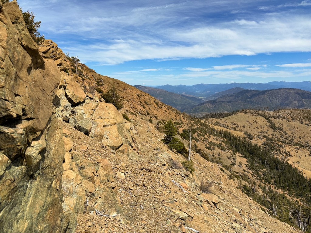
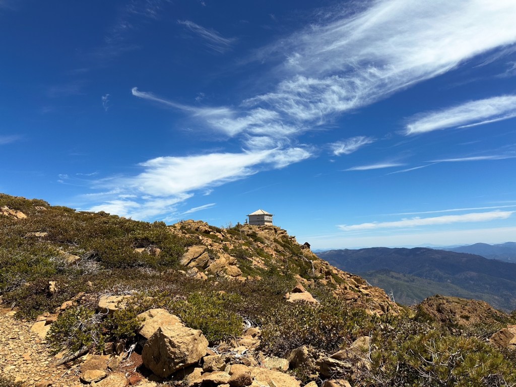
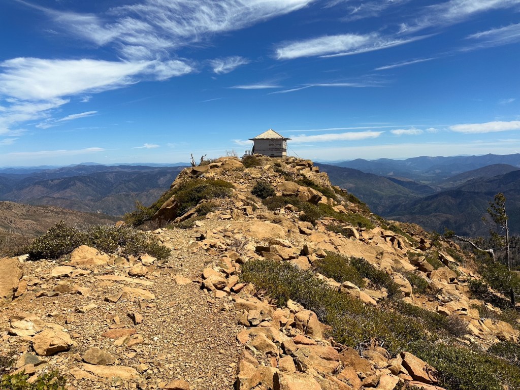
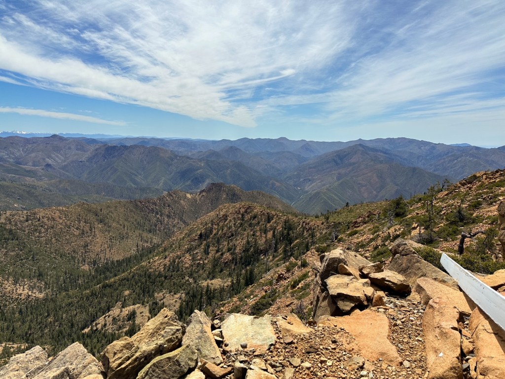
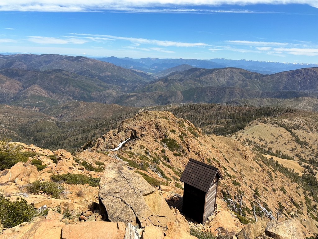
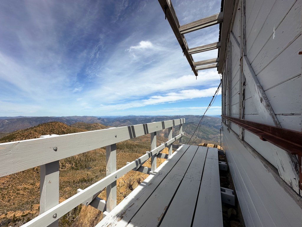
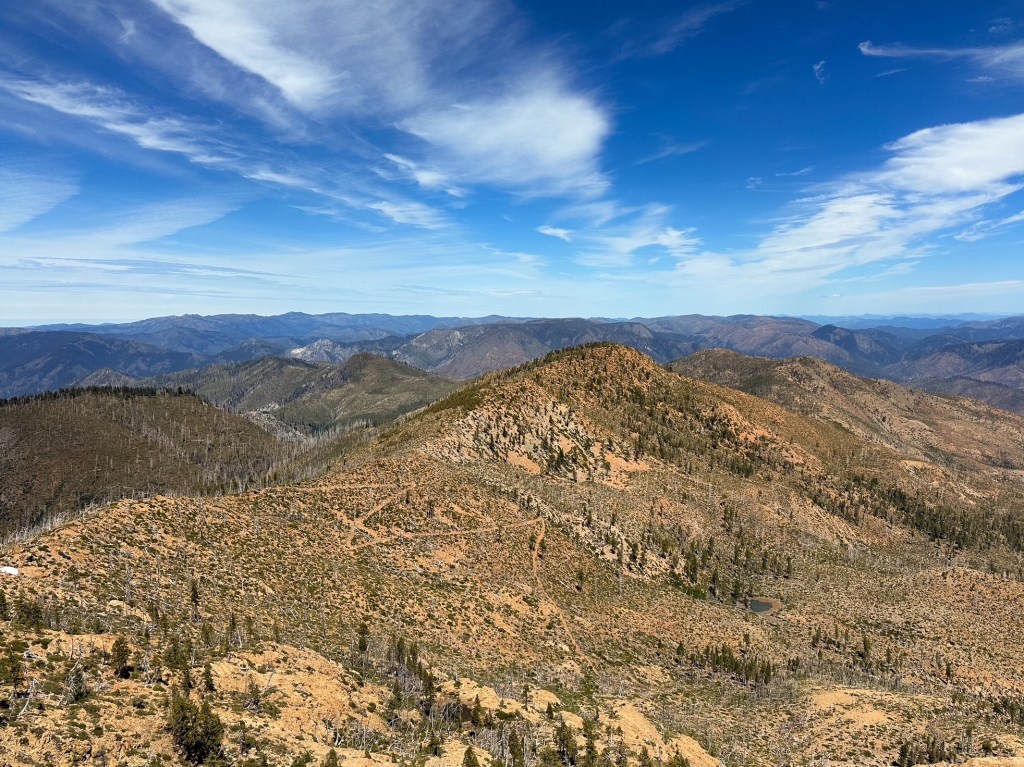
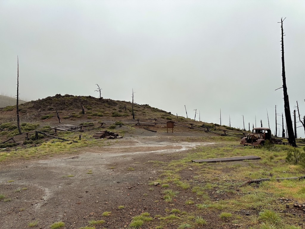
Once you have determined which route you want to take to reach Chetco Pass, the official hike to Pearsoll Peak begins. There are three trails that leave from Chetco Pass. The Kalmiopsis Rim Trail #1124 continues on both the left and right side of the pass, while the Slide Creek Trial #1102 continues straight (if you’re looking at it head on from the road). The hike to Pearsoll is accessed from the right hand side of the trailhead and follows the old road to the official lookout trail. This is the only area with the wood fence cut out – I’m not sure if that was intentionally done or if someone personally cut it to drive farther up the road. The old road continues for a mile before you reach a fork with your first view of Pearsoll Peak. The Kalmiopsis Rim Trail continues straight, but you will want to take the road heading left. This road continues for another mile before ending at the remains of the old Pearsoll Mine and narrowing into the official Pearsoll Peak Trail #1125. The Pearsoll Peak Trail climbs steeply to the back side of the ridge for half of a mile to reach the summit. The map shows that this trail can be accessed from the continuation of the Kalmiopsis Rim Trail on the other side as well, but we did not scope out that route (Aka if you continued straight at the aforementioned junction). The tread along the trail is in mostly good condition given that it is built into the rock, there is only one section that looks like it could erode over time near the main switchback given the looser conditions. We enjoyed our time on the summit with a leisurely lunch before heading back down. Breaking up the distance allowed for us to have more time to enjoy our surroundings.
Although we decided to turn this into a 4-day backpacking trip, you could easily modify it into a shorter trip or a day hike if you’re into hardier hikes. The first half of our trip was sunny conditions and warm temps, but the second half and hike out was in the rain. This lead us to a couple of discoveries. The first was that our tent is probably well overdue for a re-water proofing. The second was that the Chetco Pass road becomes very soft under wet conditions – I wouldn’t recommend trying to drive it if there is any rain in the forecast. Even our feet were sinking in the road in certain areas which only tells me that a car would do the same. Anyway, I’m sure this is way more information than what you need or even want but if you made it this far congrats.
Chetco Pass to Pearsoll Peak is ~ 5.4 miles RT, 1,400′ of elevation gain
Kalmiopsis Rim TH to Pearsoll Peak is ~ 14.4 miles RT, 2,900′ of elevation gain
McCaleb Ranch TH to Pearsoll Peak is ~ 15 miles RT, 4,050′ of elevation gain
History.
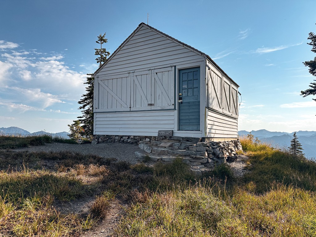
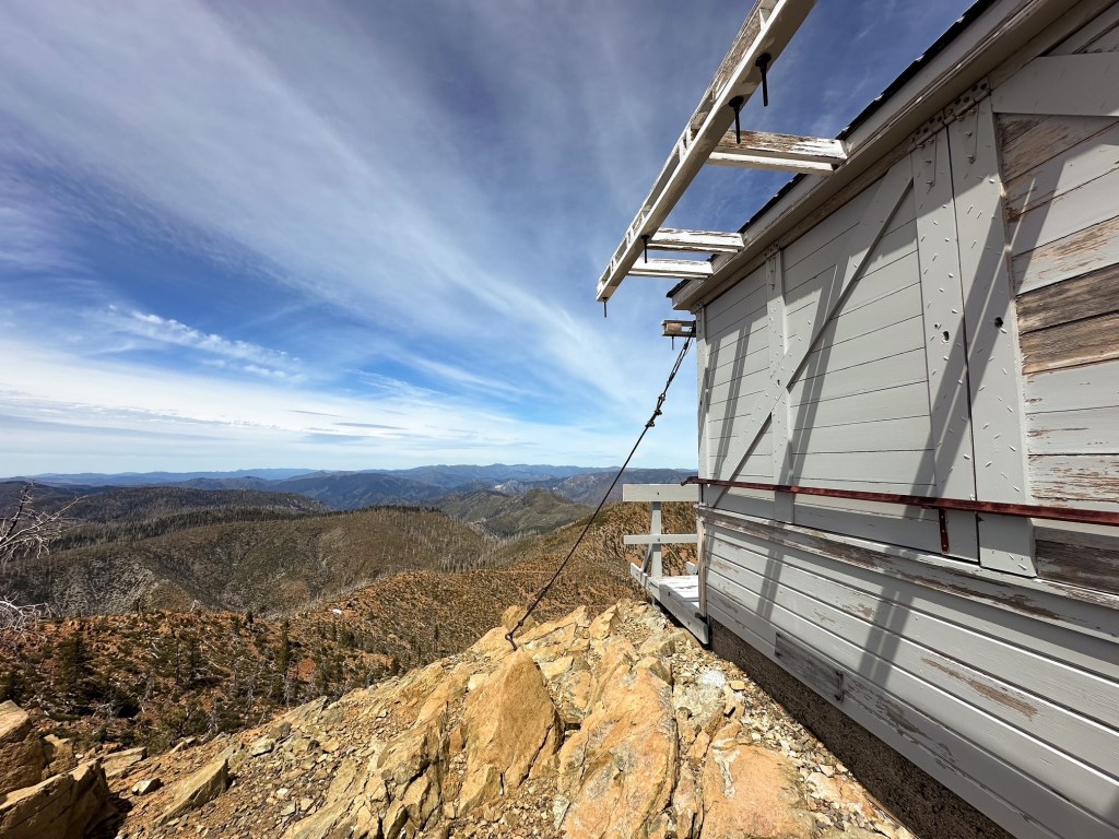
The first structure built on Pearsoll Peak was completed in 1920 as a D-6 Cupola style cabin. There is evidence to suggest this was utilized as a fire detection camp as early as 1914 when a telephone line was constructed. The lookout was replaced in 1954 by the current L-4 ground cabin. This was actively staffed into the early 1970s before being abandoned and falling into a state of disrepair. In the early 1990s, the Sand Mountain Society partnered with the Illinois Ranger District to help to restore the lookout. Thanks to their efforts it still stands today. It is unclear if the Sand Mountain Society still plays a part in maintaining this structure (their website has some glitches and is under construction last I checked). There is a new standing platform and signs of recent paint on some of the shutters. I think most of the maintenance and work is now captained by the Siskiyou Mountain Club. They play a major role in keeping the Kalmiopsis Wilderness accessible for hikers and backpackers through their stewardship programs.