
Location.
Wallowa-Whitman National Forest
Status.
Active; Currently standing
Estimated drive time from Portland, OR.
5 hours
Date visited.
July 13, 2023
Elevation.
5,714′
National Historic Lookout Register.
US 1628; OR147
Trip Report.
Day 6/9: Lookout Road Trip 2023
We headed out from Tower Mountain (post) the same way we came in on NF-5226. One might argue we should have continued through the forest on NF-5226 to connect with HWY-244 since we were planning on going that way to get to Johnson Rock. But, I didn’t feel like taking any chances on another forest service road and we wanted to stop in Ukiah for amenities. We drove the remaining distance of NF-52 out of the forest until it turned into CR-1475. This county road will dump you into the heart of Ukiah. We decided to check the Ranger Station in Ukiah to see if they knew anything about the NF-51 road closure. It was technically out of their forest management, but we figured they might know anyway. Unfortunately, when we got there the station was only open to visitors by appointment. Strike one. Ukiah also didn’t have any cell service for us, so we weren’t able to call the La Grande station from here. Strike two. We moved on to check out the local business we thought would have gas, but it appeared to be closed indefinitely. Strike three. It appeared our luck had run out completely. The only amenities we were able to secure were refilling our water reservoirs in the local county park. Ukiah did have another convenience store that was open where we were able to buy some ice for our cooler too. In hindsight we probably should have asked the locals about their gas station, but we just assumed they no longer had any available. For future reference, I think they still offer gas at the Byrnes Oil off of Pine Street. It appeared people were stopped there filling their tanks when we drove through again the following day.
We sat along side the county park for a while debating what we should do. Do we risk it and drive to see if the road is open for ourselves? Or do we assume the worst and move on to our next destination? Garnet had the idea to start driving in the direction of Johnson Rock until we could find suitable service to call the La Grande Ranger Station. We decided to go that route and headed east out of Ukiah on HWY-244. We didn’t get service until we were on the Blue Mountain summit and pulled over to make the call. The ranger we spoke with was aware of the NF-51 closure but wasn’t sure when it would be re-opened. Also, just doing a basic search on the Forest Service road closure notices there was nothing mentioned about this road being closed (so any prior research wouldn’t have brought this to our attention). We asked the ranger about access to the Johnson Rock lookout. He wasn’t sure if that was part of the closure which meant he would have to get back to us, but he knew you could at least drive to the Spool Cart campground which is just before the turn. We gave him our contact information and we were back at square one. No one seemed to know much about this closure or at least the information we needed. We sat on the side of HWY-244 debating our options again. How long should we wait to see if he’ll call back? Do we drive to see if the road is open for ourselves? Or, once again, do we assume the worst and move on to our next destination?
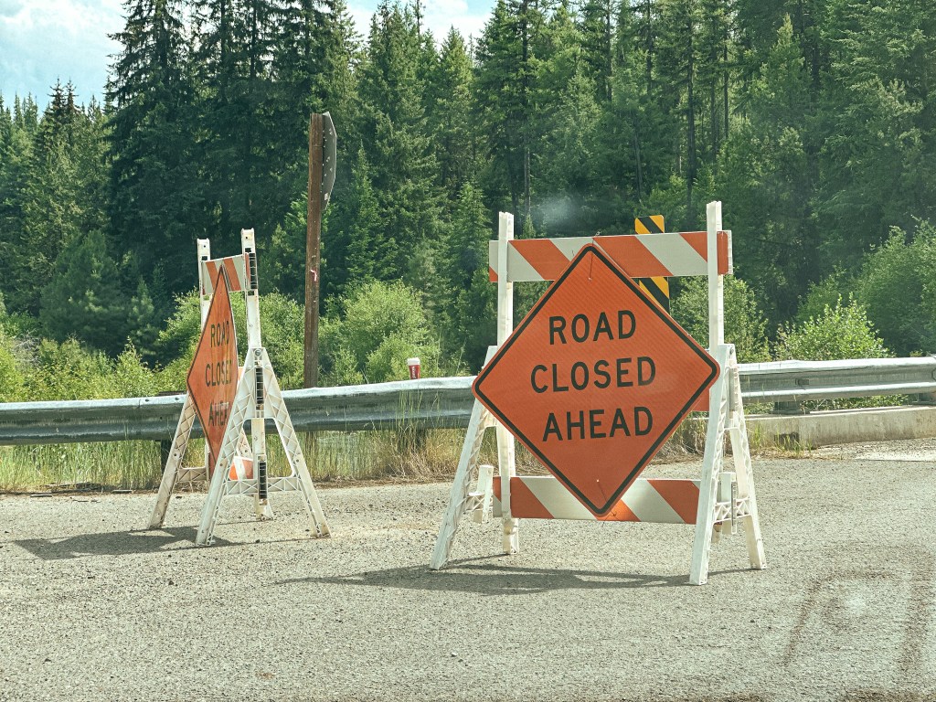
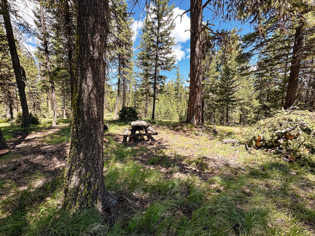
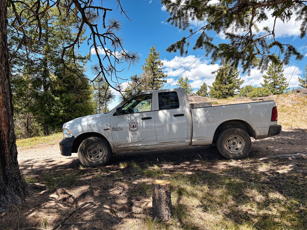
We decided we were close enough that it made sense to check it out for ourselves. We also knew we should probably refuel soon and La Grande was our next closest option. We turned right onto NF-51 from HWY-244 towards the community of Starkey, this was marked as the Grande Ronde River Road prior to entering the forest again. There was no road closure sign posted at the junction, but we passed one that said “Road Closed 16 miles Ahead” once we got closer to the boundary. Based on our estimated mileage calculation prior this would put the road closure past the turn off we needed. We passed the Spool Cart campground with no issues and figured we’d make it to our turn after all. We reached NF-5115 off to the right only to be met with two more signs. Both said “Road Closed Ahead” and were partially blocking the road. Garnet and I debated what that meant. Did it mean the road behind the sign was closed ahead? Or was it referring to the other road closure on NF-51? At this point I was willing to throw in the towel on Johnson Rock, no one knew anything and it was unclear if we should be driving up this road. Garnet rationalized with me that if the road was actually closed there would be a road block farther up and we could turn around from there if needed. We continued up NF-5115 past the signs and hoped for the best. The NF-5115 road was in good shape and after a mile and a half we came to the junction with NF-5120. We turned left onto NF-5120 that would take us the remaining distance to the lookout, if road conditions were on our side. The conditions of the road deteriorated after leaving NF-5115. There were quite a few wide shallow pot holes that consumed the whole road and blind hills that would be a bad spot to meet oncoming traffic. Minor highlines and wash outs were also something to be aware of along this road. John was right about the road deteriorating significantly around 2 miles from the lookout. We made it to the NF-500 spur before deciding this was as far as we should probably drive. This was just beyond where the map said the road stopped being maintained. We set up camp in the flattest spot we could find and planned to hike to the fire lookout in the morning. We still weren’t 100% sure if we should be here, but we were never met with a road closure beyond the signs. We could hear and see the large helicopter doing work along the Grande Ronde. I had thought that I heard John mention they were practicing water drops on the phone with Mike. This lead to the irrational thought that they would accidentally drop a metric ton of water on us thinking no one would be in the area. I asked Garnet what would happen if they dropped that amount of water on someone and he said one would probably die from the shear force. A comforting thought.


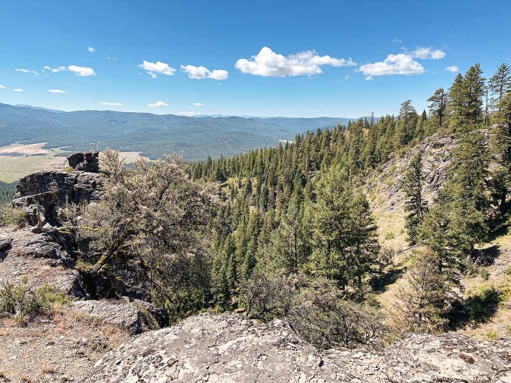

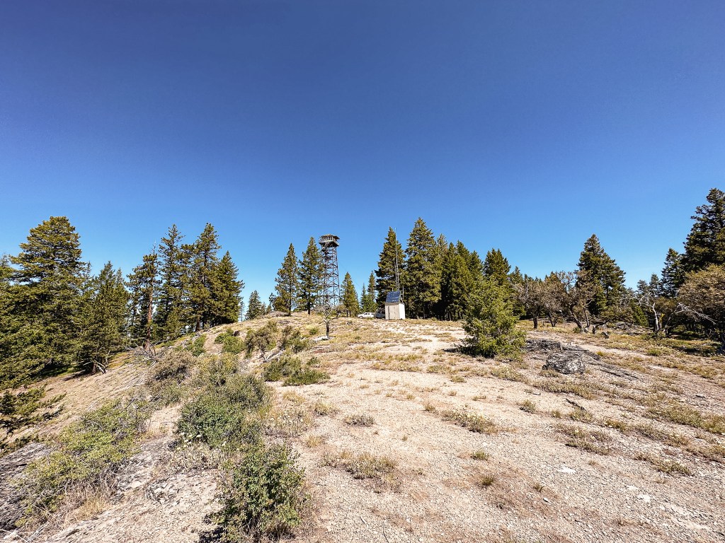
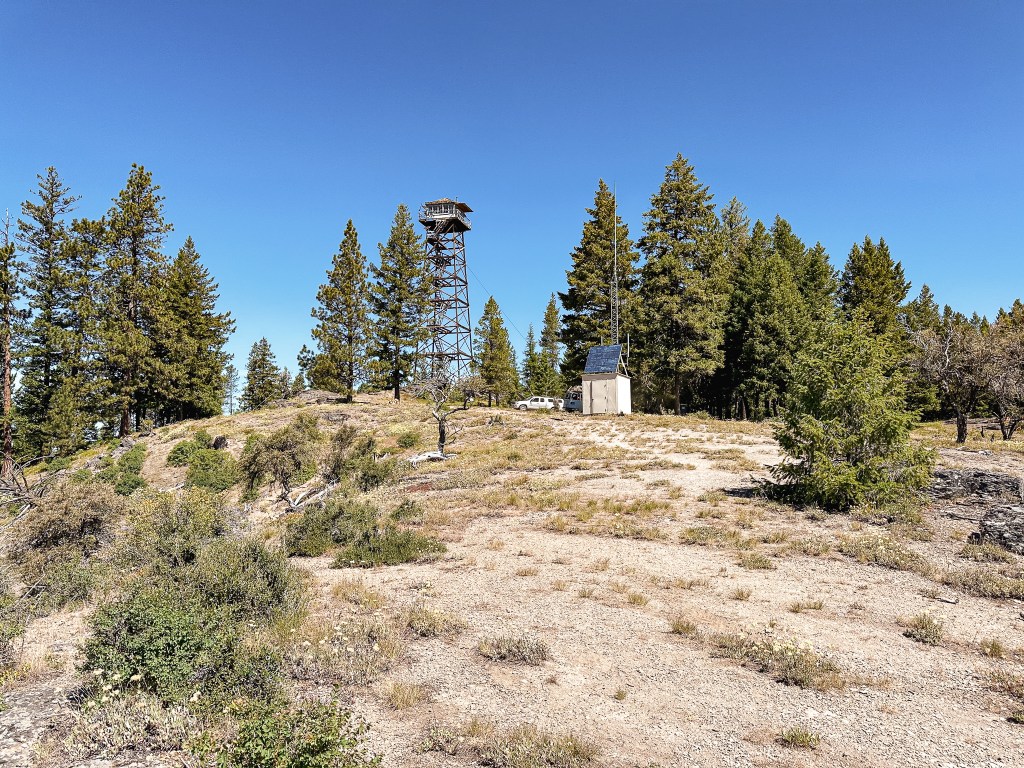
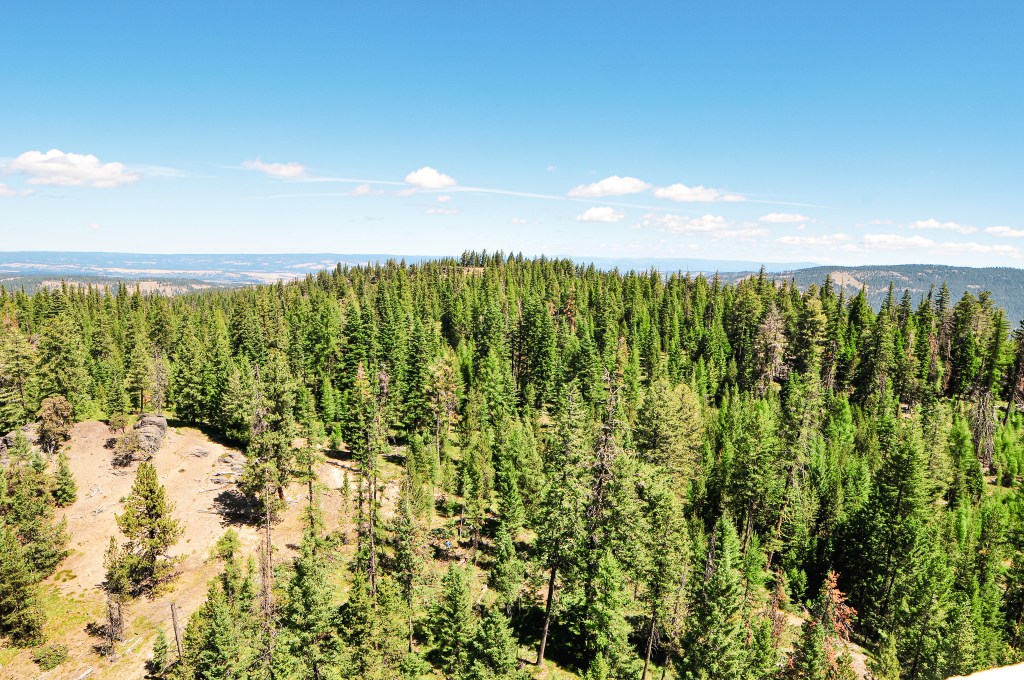
The next morning, I woke up early to the sound of the helicopter again and had a hard time going back to sleep since it sounded closer to us than it was yesterday. We eventually got up and packed lunch for our hike up the road. We also packed up our camp so things would be ready to move when we got back to the car. As we started up the road we realized quickly where we had stopped was a good call. There were portions of the road that were fine, but the few significant rocky sections would be un-passable in our car without bottoming out. When Mike had talked to John the day before he mentioned there was a private contractor thinning the trees around the lookout that kept starting their chainsaws at 5am every morning. I didn’t recall hearing a car drive by that morning but it’s possible we didn’t hear it due to the helicopter starting around the same time. It was a pleasant walk from where we had parked but it was already getting hot for the day. The most notable things from our road walk were an occasional Pileated woodpecker flying across it, wild strawberries, and having something grunt at us from the bushes. We were pretty sure this was an elk but never saw it to confirm. As we got closer to the fire lookout, we could finally hear the symphony of chainsaws. I’m sure this wasn’t relaxing for John to hear all day, but they were making good work of thinning out the area. John was aware we’d be attempting to visit him sometime based on his call with Mike. We walked over to the viewpoint at the edge of the rock and wondered if we should try to make ourselves known. Before we could decide what to do, John called down from his catwalk and asked if we wanted to come up.
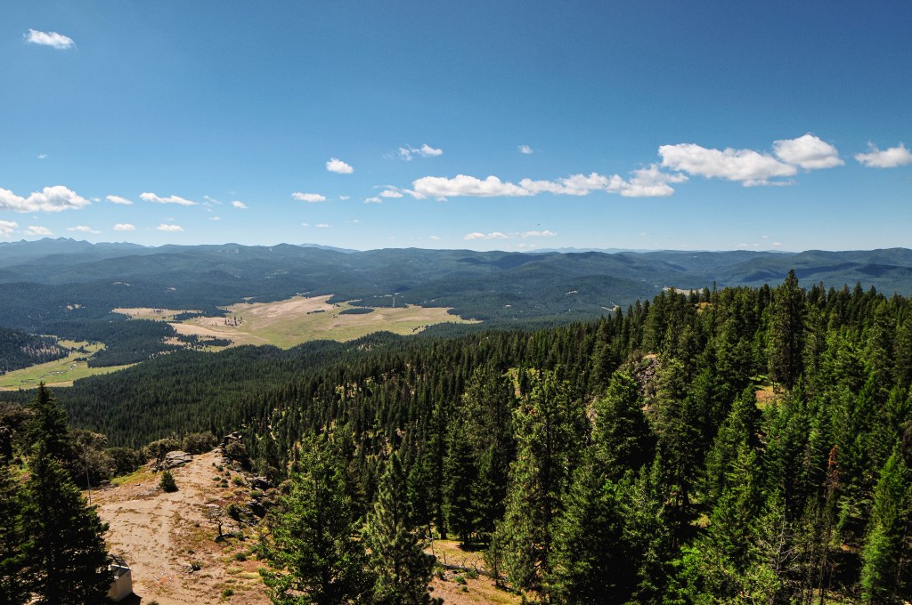
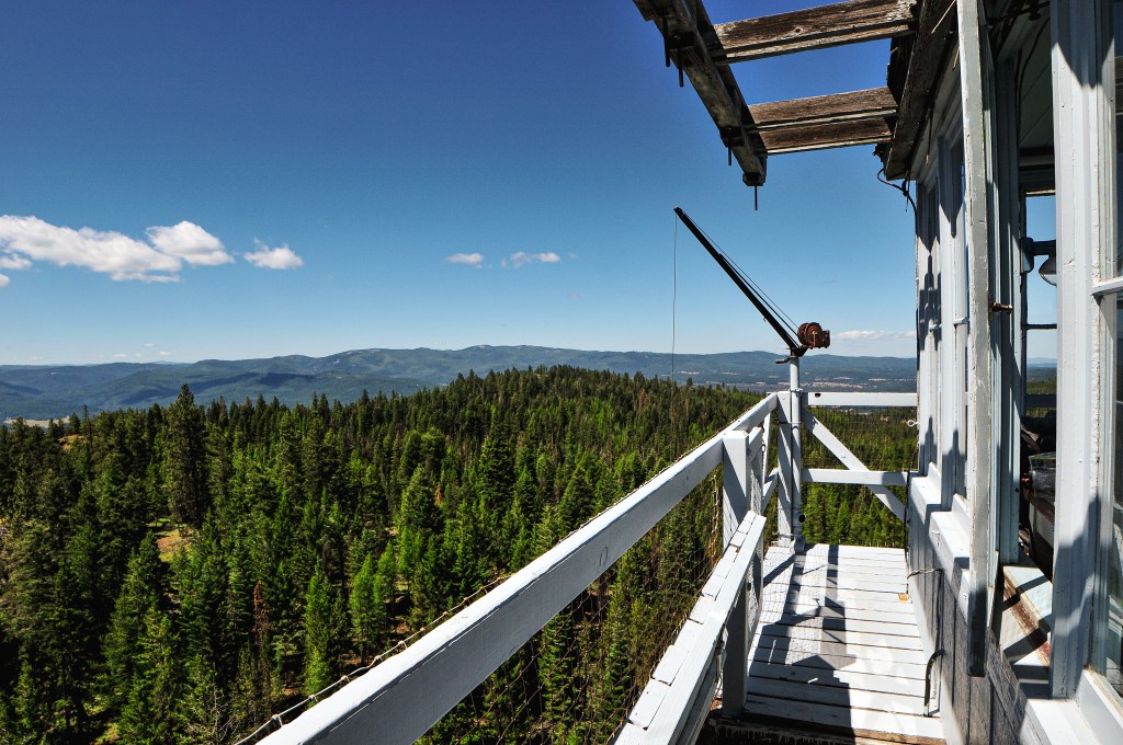


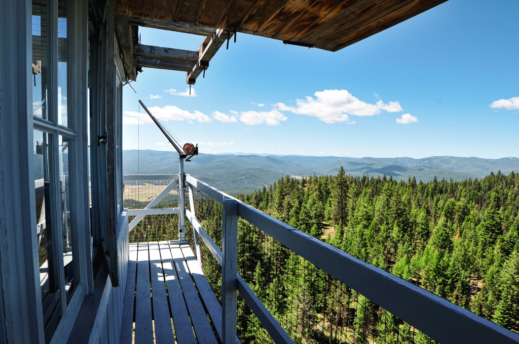
We climbed the tower and were not only greeted by John but his very large string bass. He also had a guitar and a mandolin there as well. I couldn’t believe he had hauled such a large string instrument all the way up there. He said he didn’t use the winch either because he didn’t trust it with such an item. He also confirmed that the helicopter we had seen along the Grande Ronde was moving logs to build salmon habitat. This made more sense than practicing water drops and I was happy to know my fears were unwarranted. We chatted for a bit about his experiences as a lookout and our trip around the area before heading back down to have lunch. While enjoying our lunch under the shade of a tree, an official Forest Service vehicle drove up. There were two rangers in the vehicle, and we wondered if they’d say anything to us about being there. It was still a grey area in our minds at this point, but less so now that we had made it to the lookout itself. They were only here to inspect the work of the private contractors and didn’t give us much more than a wave. I’m sure they were more confused than concerned about why we were there. We didn’t dilly dally much after we finished lunch and made the short hike back to the car. My Strava App recorded this road walk at 5.02 miles RT with 905’ of elevation gain.


The drive out felt much shorter than the day before. The signs that had previously blocked the road were now gone. Garnet’s phone also had a voicemail from the ranger we spoke with in La Grande confirming the road was open for recreation. It was good to know we had no reason to worry, but it felt a little too late at this point. We drove the remaining distance of HWY-244 to La Grande in search of fuel. Once we had a full tank, we backtracked to Ukiah again. We can now say we’ve driven the full length of HWY-244 twice. Our next destination was Madison Butte (post) on the Umatilla NF.
Lookout John.
This was John’s first season on Johnson Rock, a fittingly named lookout for him. He has worked as a fire lookout for 9 seasons on different towers such as Numa Ridge in Glacier NP, Tower Point in Oregon, and Aztec in Arizona to name a few. Prior to his seasonal work as a fire lookout he was a teacher. He uses his free time as a fire lookout to learn new skills and hobbies such as playing the string bass, guitar, and mandolin.
History.
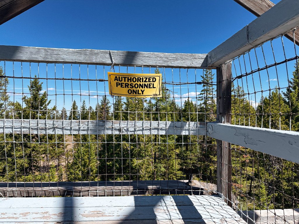
There isn’t too much history behind the fire lookout on Johnson Rock. The first structure was built in 1938 as an L-4, but there is no information listed on if this was a ground cabin or tower. Given that the current 14’x14’ L-4 cab was built on an 82’ treated timber tower, I can only assume its predecessor also had a tall tower. The existing lookout was built in 1952 and is still actively staffed every season. Although the structure is still utilized the cab could use some work. The shutters on own side were blown off during the previous season and it would benefit from a new roof.


One thought on “Johnson Rock L.O.”