Location.
Deschutes National Forest
Status.
Abandoned; Currently standing
Estimated drive time from Portland, OR.
3-1/2 hours
Date Visited.
October 9, 2021
Elevation.
5,546′
National Historic Lookout Register.
US 506; OR 98


Trip Report.
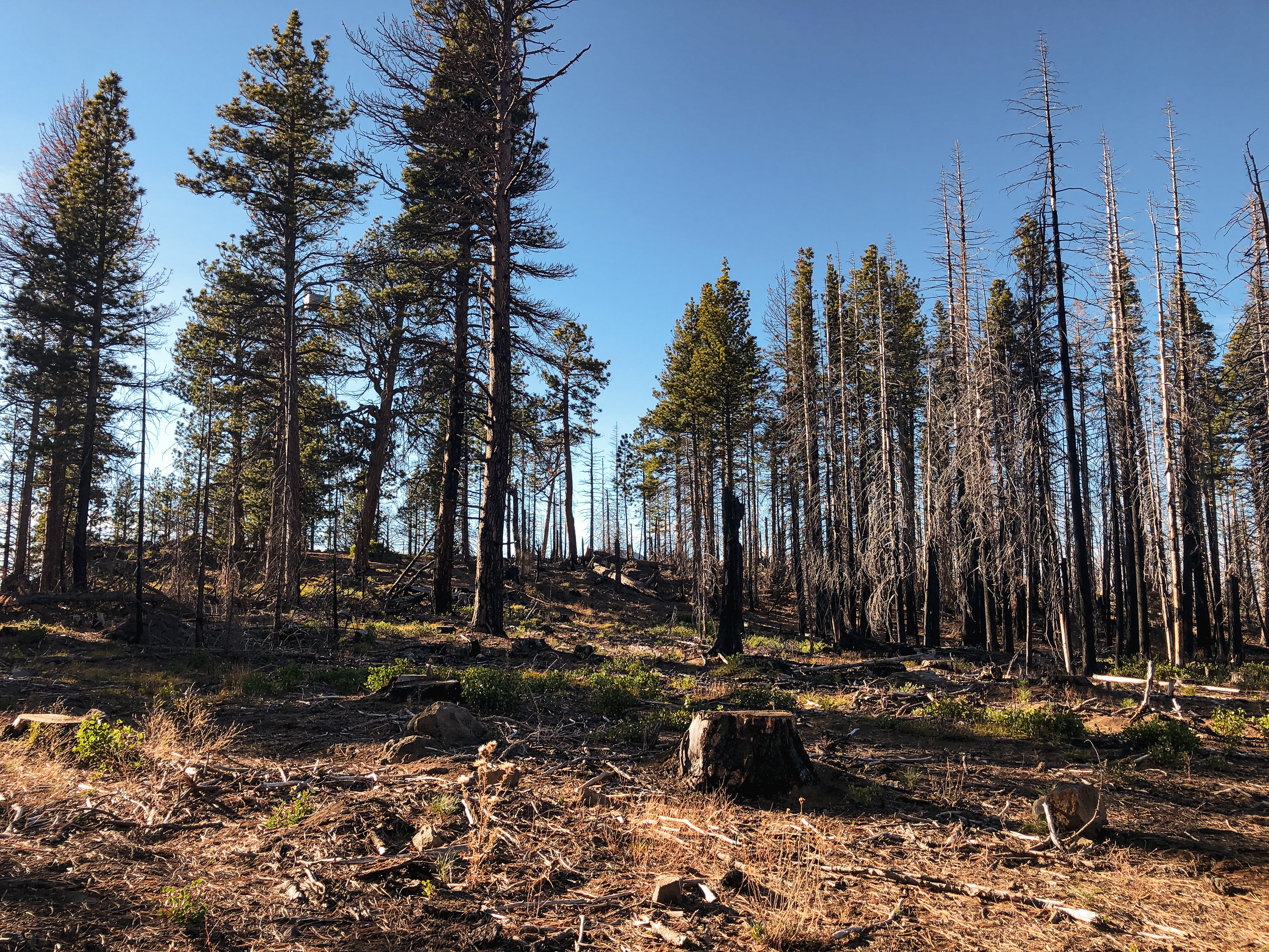
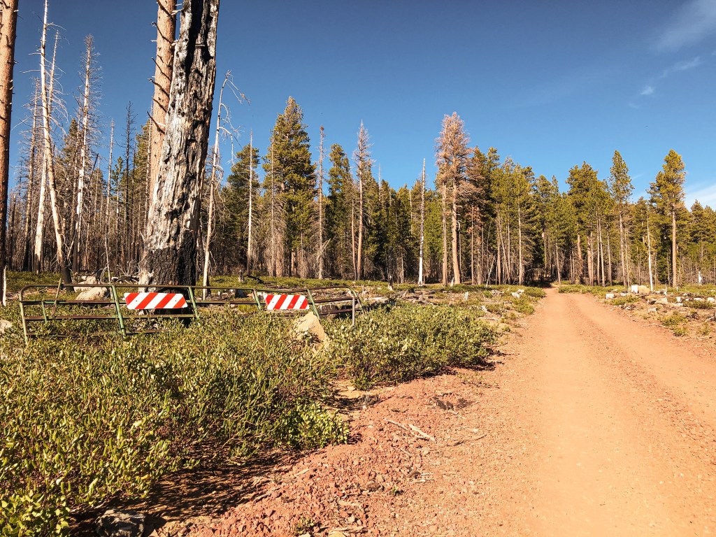
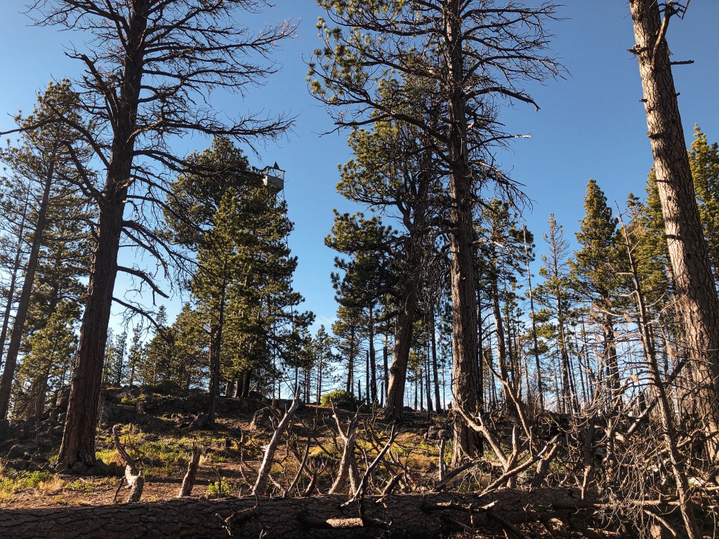
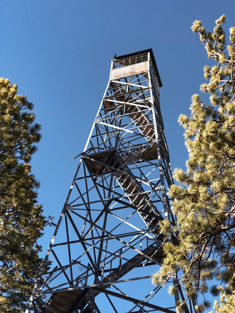
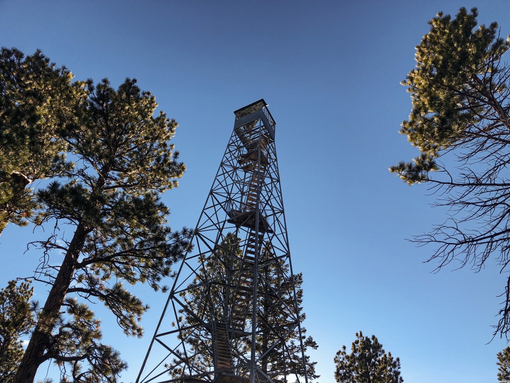
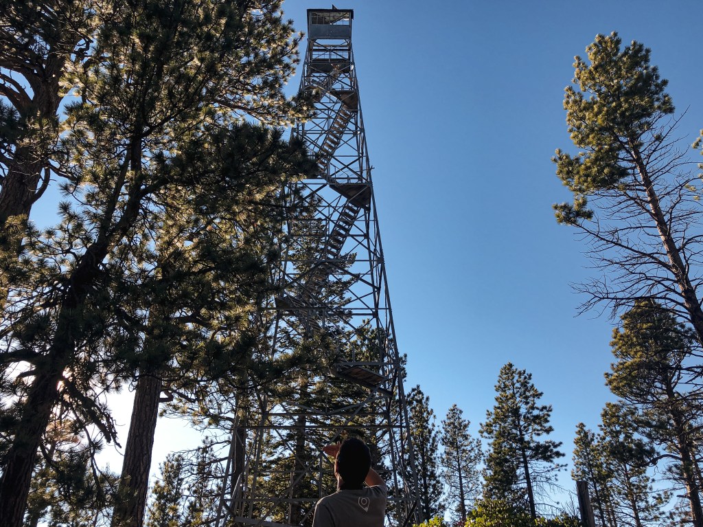
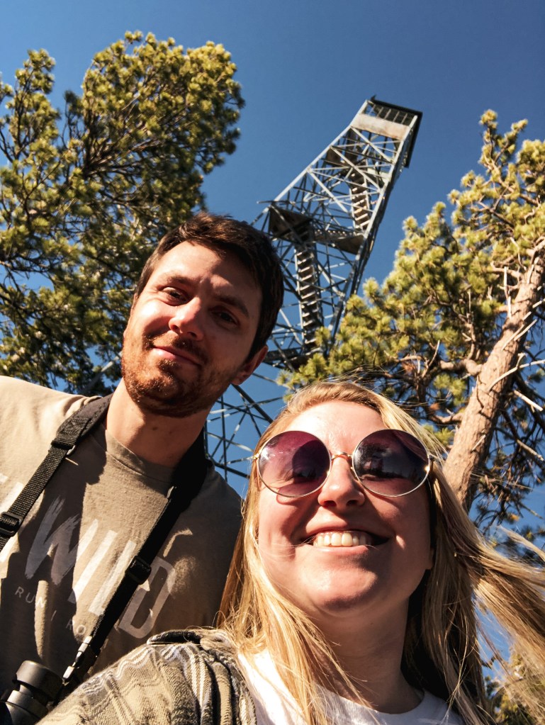
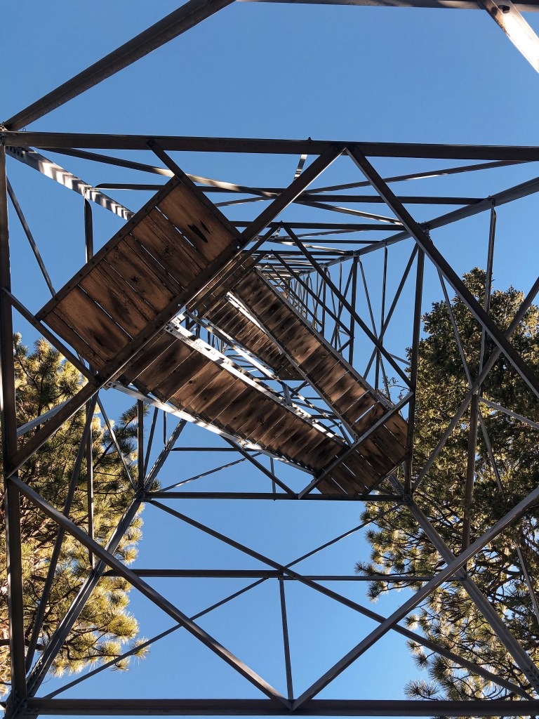
My partner and I decided to make a quick one-night trip down to the Deschutes National Forest area for the weekend. We wanted to try and see Henkle Butte (post), Trout Creek Butte, and Lava Butte (post) lookouts. Trout Creek Butte L.O. is an easy drive just outside of Sisters. We took the Mackenzie HWY-242 to signed NF-15 to get there. The NF-15 road starts out paved and eventually turns into well-maintained gravel. After 5 miles it forks to become NF-1524 and NF-1522. We kept right to stay on NF-1524. Eventually it will fork again with NF-1524 continuing to the left and NF-1018 to the right. We stayed right at this junction as well. We continued on NF-1018 until we reached the NF-800 spur on the right. It was a pretty distinct road since it is made up of red rock instead of fresh gravel. NF-800 will take you the remaining way to the summit. All roads were in decent condition and are manageable in a passenger vehicle. There are a few bumps on NF-800 but you’ll make it with caution to at least the gate. We decided not to drive to the summit and parked in a pull out before the old gate. The gate is still there but no longer blocks the road. It’s about a 1/2 mile walk to the summit from this point in the road. As we were walking up the road to the summit, we became worried that the tower might have fallen or already been removed. The area was burned over in the 2017 Milli Fire but there are still a lot of tall trees on the summit obscuring the view. We weren’t able to see the tower until we were almost to the base of it. It was like playing Where’s Waldo? with a lookout. Scroll down if you want to try and spot it in my pictures. The first three levels of stairs are removed due to safety concerns and to help deter vandalism. The tower is in terrible condition. The cab on top is missing its floor, window glass, and part of the roof. Although there is not much of a view from the summit, the views from the road before the summit are worth the stop alone. We drove back down NF-800 to the junction with NF-1018. Instead of heading back out the way we came, we turned to take NF-1018 in the other direction. If you stay on NF-1018, it will eventually take you all the way back to HWY-242. We were running out of day light so we decided to camp at the Whispering Pine C.G. for the night.


History.
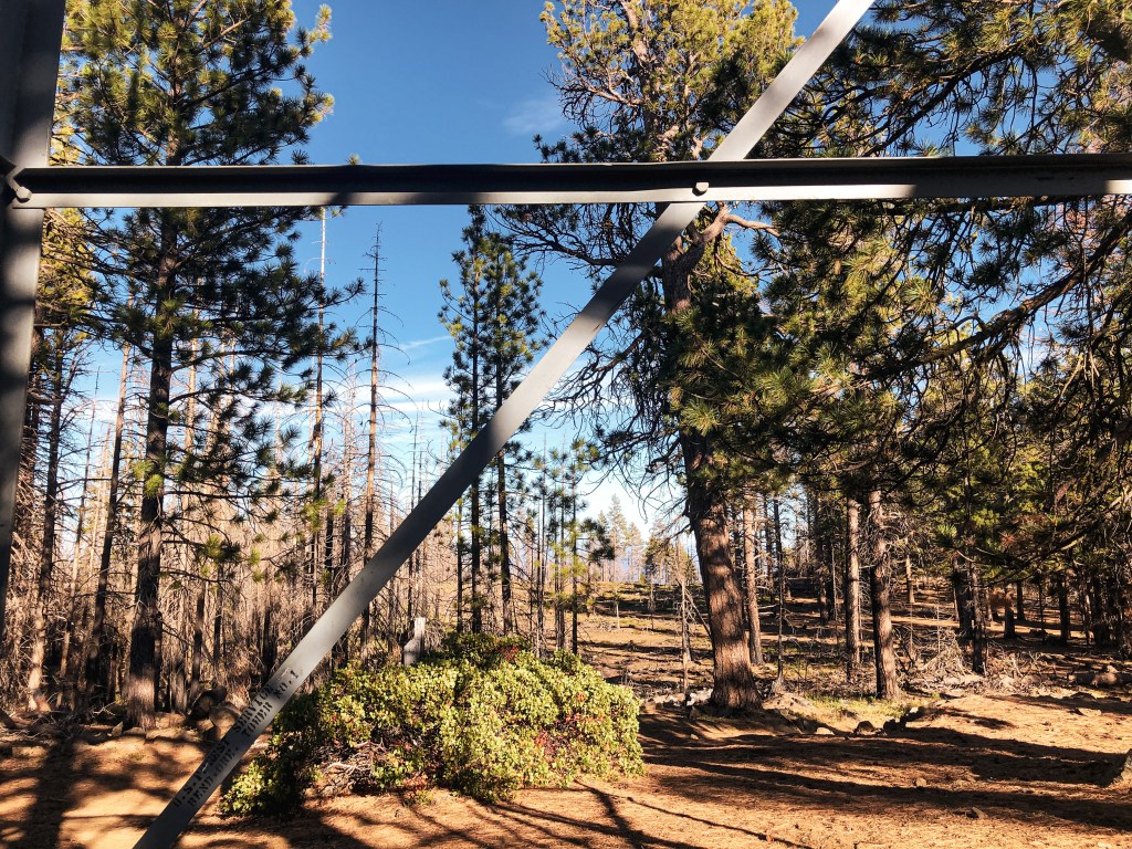
This 75′ steel Aermotor tower with 7×7 cab is the original built by the CCC in 1933. Some sources note this as a 86′ tower instead, but I believe this is counting the concrete poured for the tower. The tower was last used for emergencies up until the 1970s. There used to be a T-1E 16×18 garage and 14×16 wood living cabin on the summit as well. Both were built a year after the tower in 1934, but I couldn’t confirm any information on what happened to these structures. The outhouse was relocated to Sand Mountain L.O. as part of a restoration project in 1992. The tower is the only remaining structure on the summit and is slated to be decommissioned by the Deschutes NF.


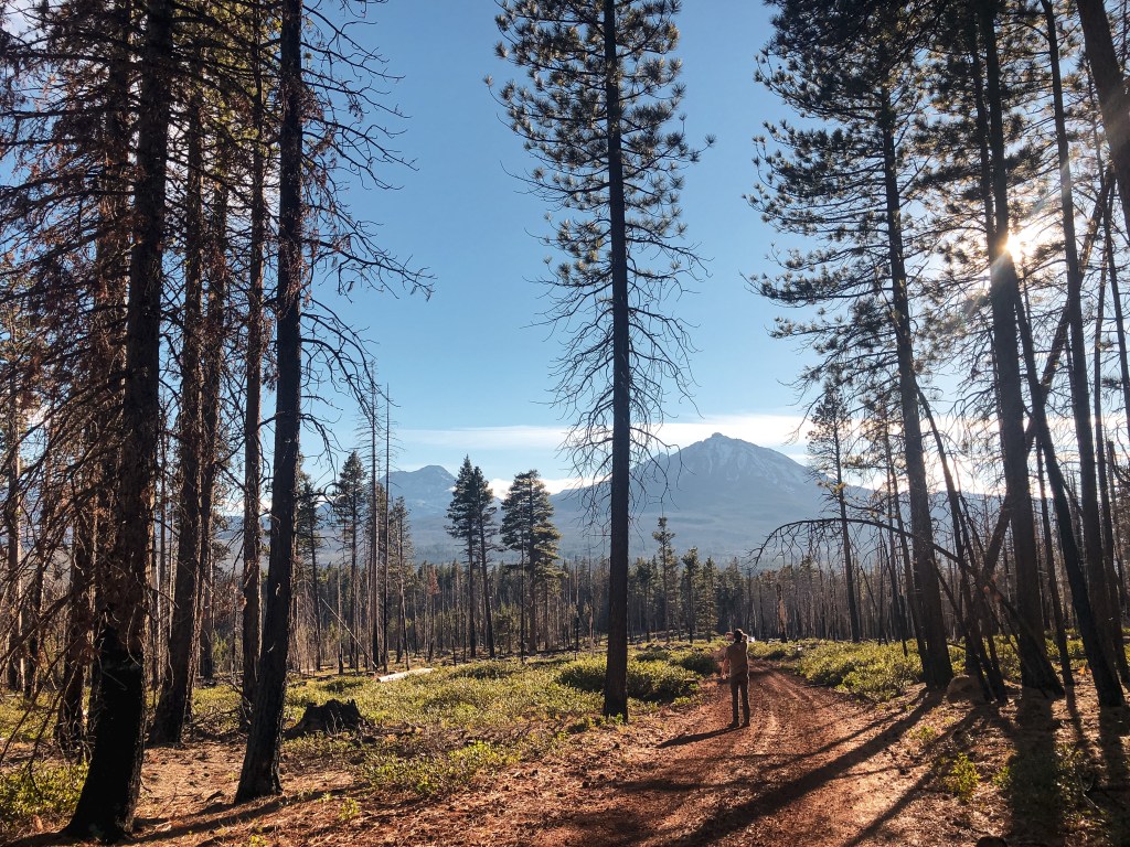

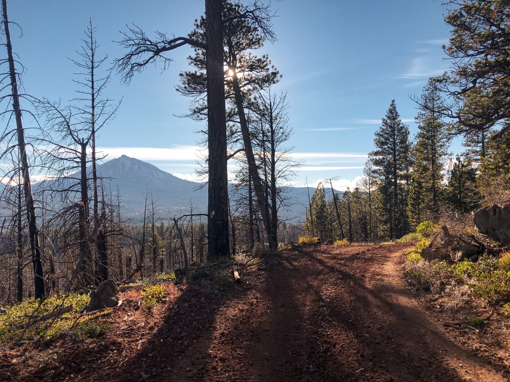

Can you spot the lookout?
Pull the slider to the left to see where the lookout is located in the below pictures.