Location.
BLM – Lincoln County, ID
Status.
Converted; Currently standing
Estimated drive time from Portland, OR.
8-1/2 hours
Date visited.
July 14, 2024
Elevation.
4,343′
National Historic Lookout Register.
US 1424; ID 116
Trip Report.
Well surprise, surprise! It’s me, still behind on writing about our most recent adventures or not so recent adventures anymore. Garnet and I just got back from a 7-day backpacking trip through the remote and rugged Jarbidge Wilderness in Nevada. It was equal parts challenging, beautiful, and rewarding. Unfortunately, it ended on a slightly sour note when we realized a mouse moved into my car while we were away. It had taken a bite out of all the food we had stashed in the trunk for our drive home and even decided to take a few holes out of Garnet’s newer shirt. This is how we found ourselves at the Sleep Inn in Jerome for our final night of the trip. Our original plan was to car camp in one of the many free BLM campgrounds along the Jarbidge River like we had on our first night of the trip. But once we stopped we could hear it in our console still and were unable to get it out when I opened my air filter. We hoped by taking everything out of the car into the hotel that it would vacate and save ourselves any additional damage to our gear. We even set some traps in the car for the night, but ultimately didn’t catch anything. This is my wordier way of saying we were closer to civilization after our trip and it set us up nicely to visit some fire lookouts. We had briefly talked about stopping at one of these fire lookouts on the way out during our drive down. Though I think if we were still camping along the river the last night we probably wouldn’t have had enough time to do both plus drive the 10 hours back home.
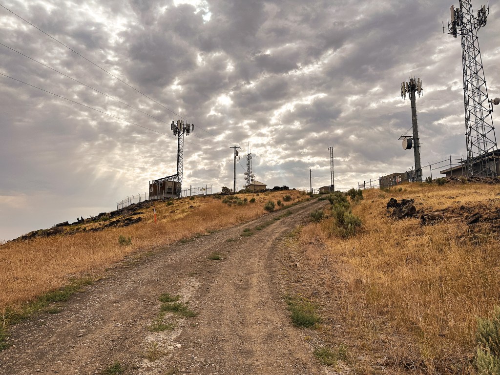

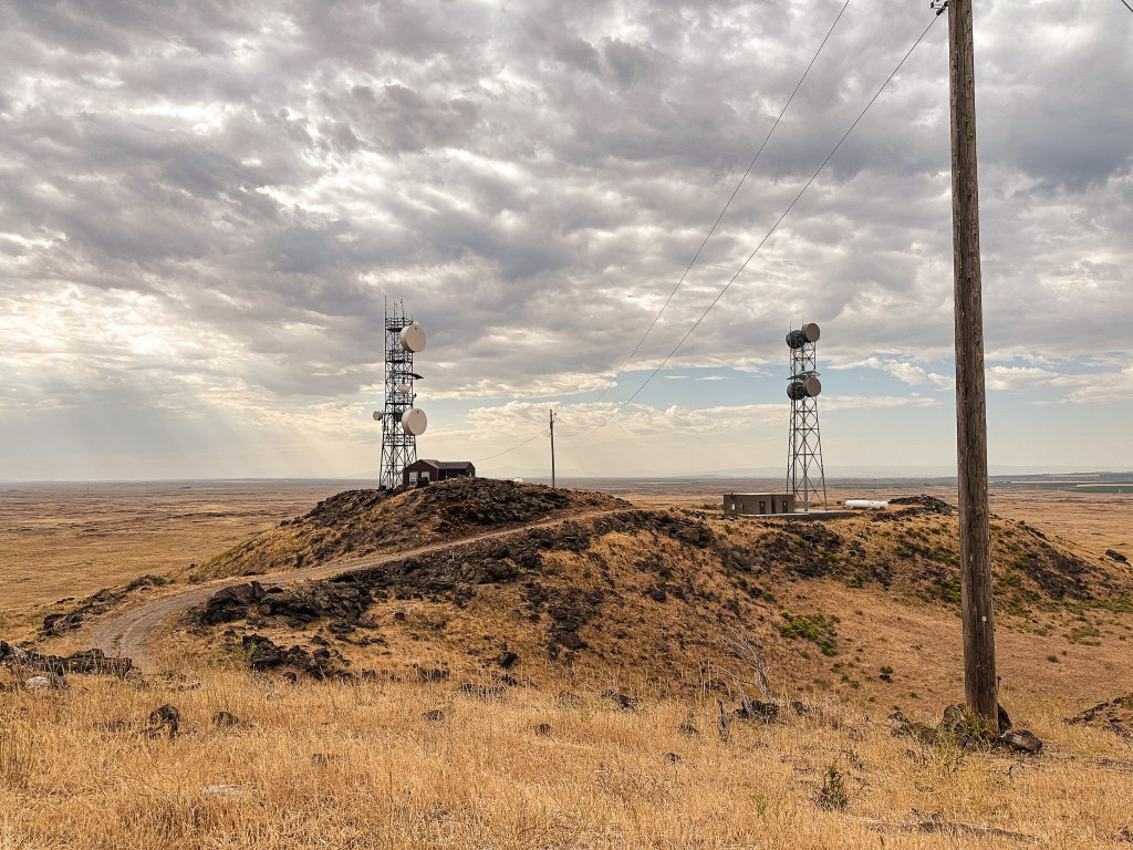
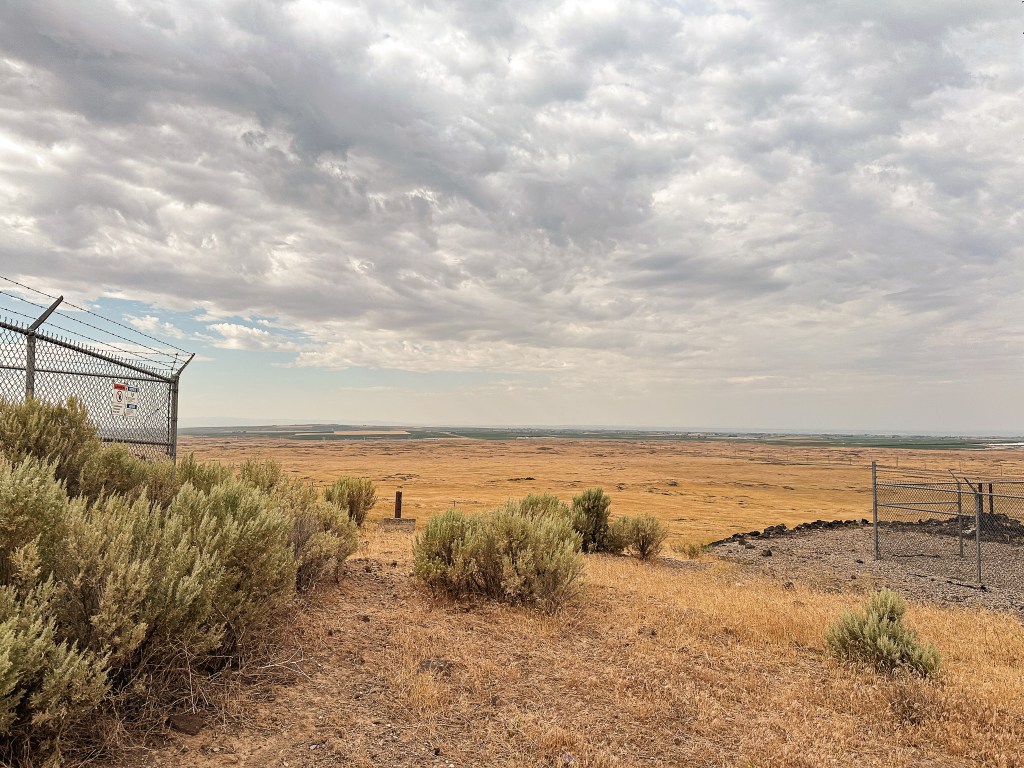
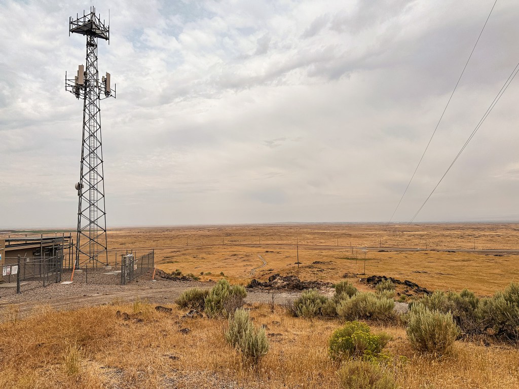
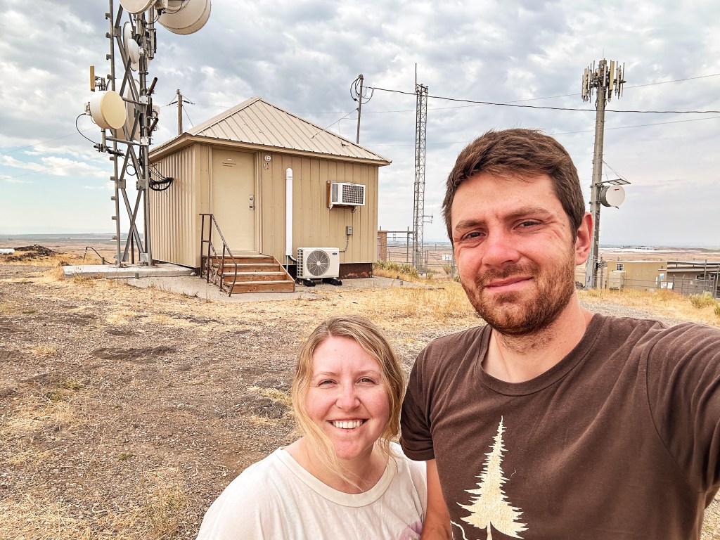
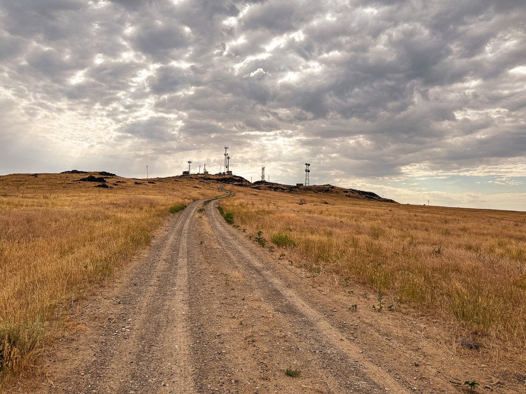
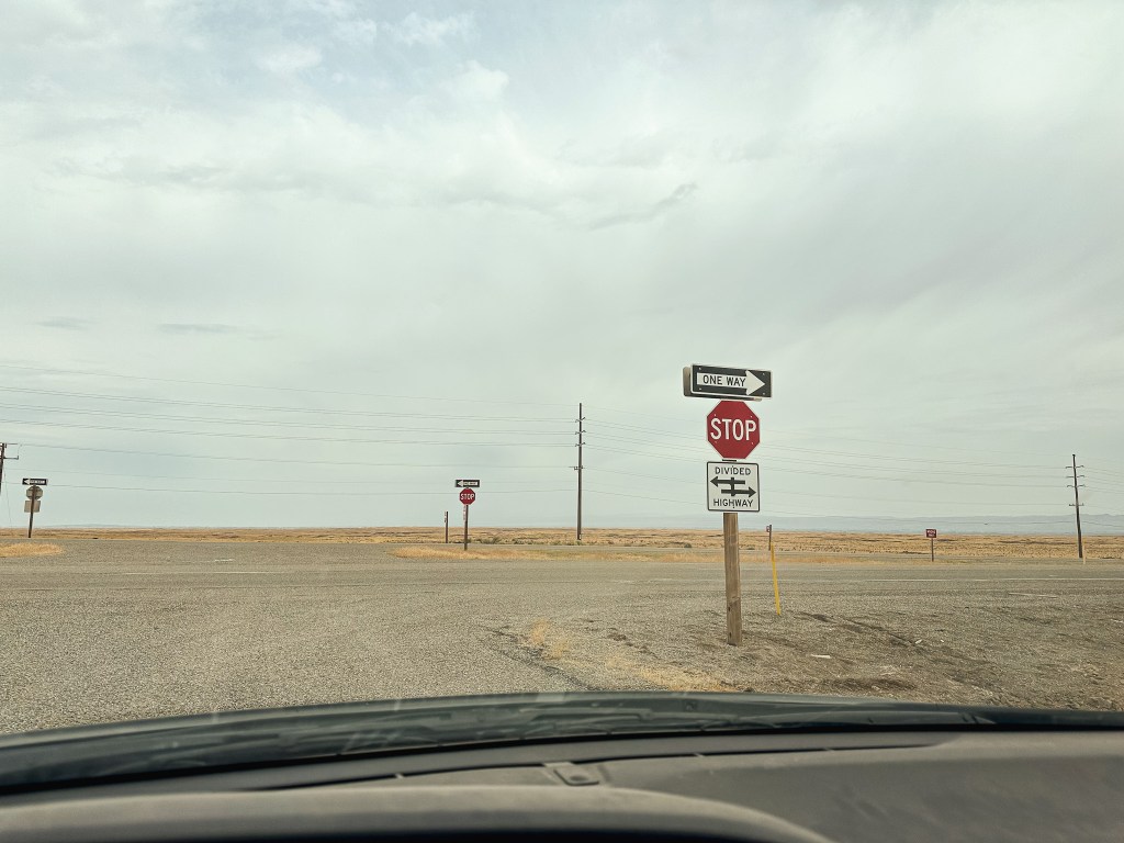
Notch Butte is located roughly 15 miles outside of Jerome and 4 miles South of Shoshone just off of HWY-93. This area of Idaho is made up of flat farm land and the butte is easy to spot from the highway. The road is noted as Notch Butte road on Google maps, but it was unsigned during our visit. Heading North from Jerome towards Shoshone, it was our first turn off to the right after milepost 70. The road is gravel with some minor ruts in it, but any car should be able to drive to the summit. I personally decided to park and walk since it was such a short distance. The road is a little over half of a mile from the highway to the summit. After making the turn from the highway you will pass over a cattle guard and veer left at the unmarked junction to reach the summit. Not to say it should be obvious, but it should be obvious. The surrounding field seemed to have a lot of vole activity and we even saw an antelope crossing the road while we parked. There’s not much else to note except it was muggy and hot. This is the first fire lookout we have had the chance to visit in Idaho and it won’t be our last. This is a state we’ve both talked about exploring more of often but have not yet carved out the time to do so. It has been slowly creeping closer to the top of our priority list.


History.
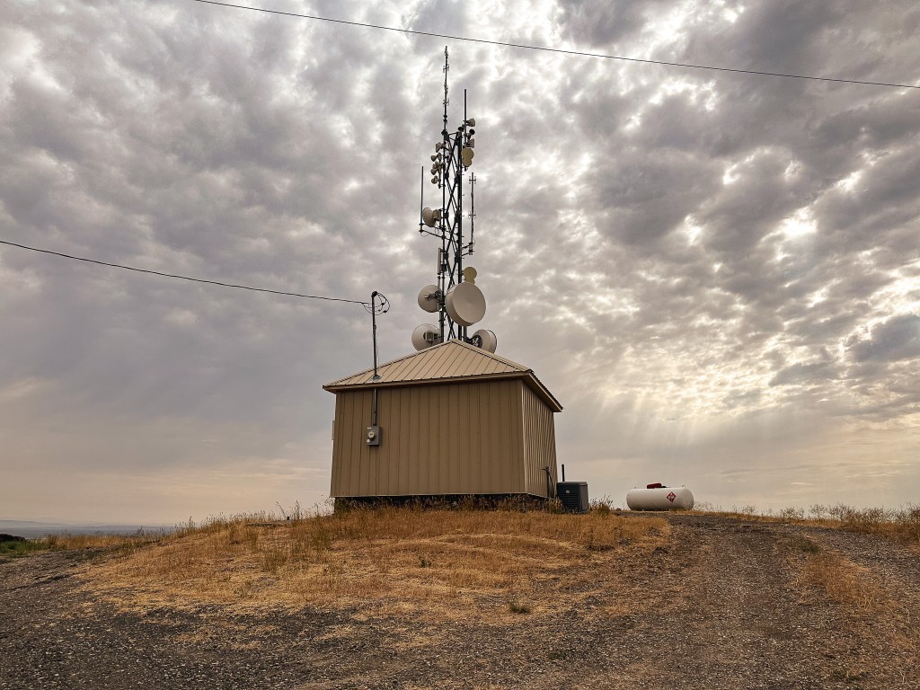
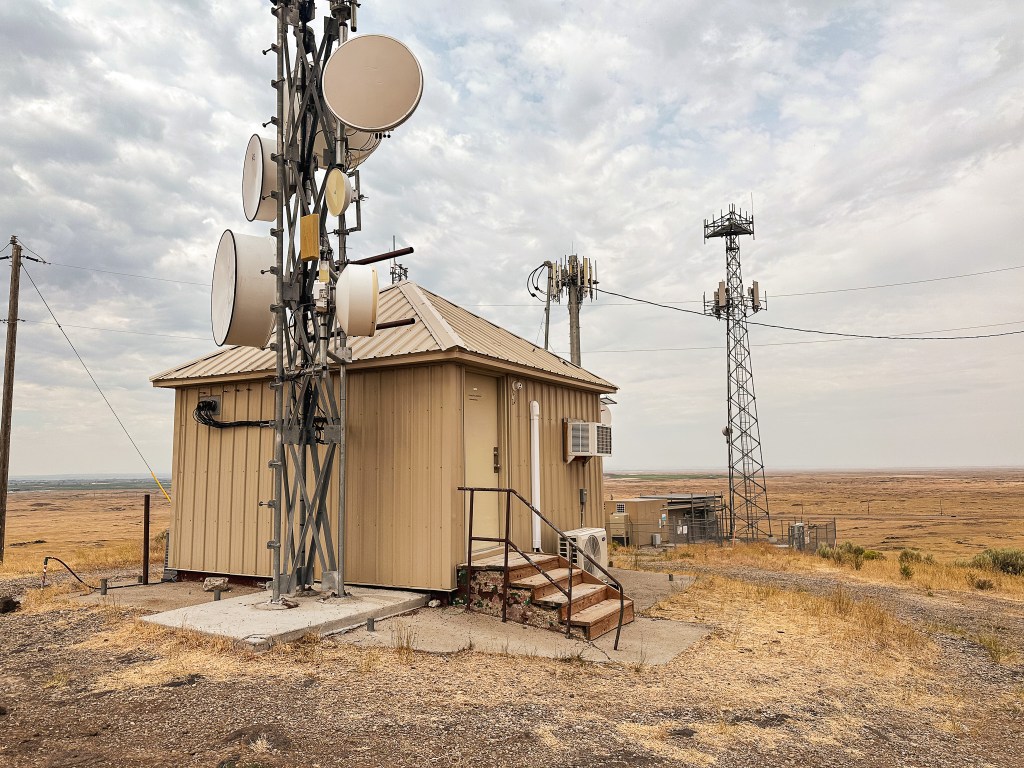
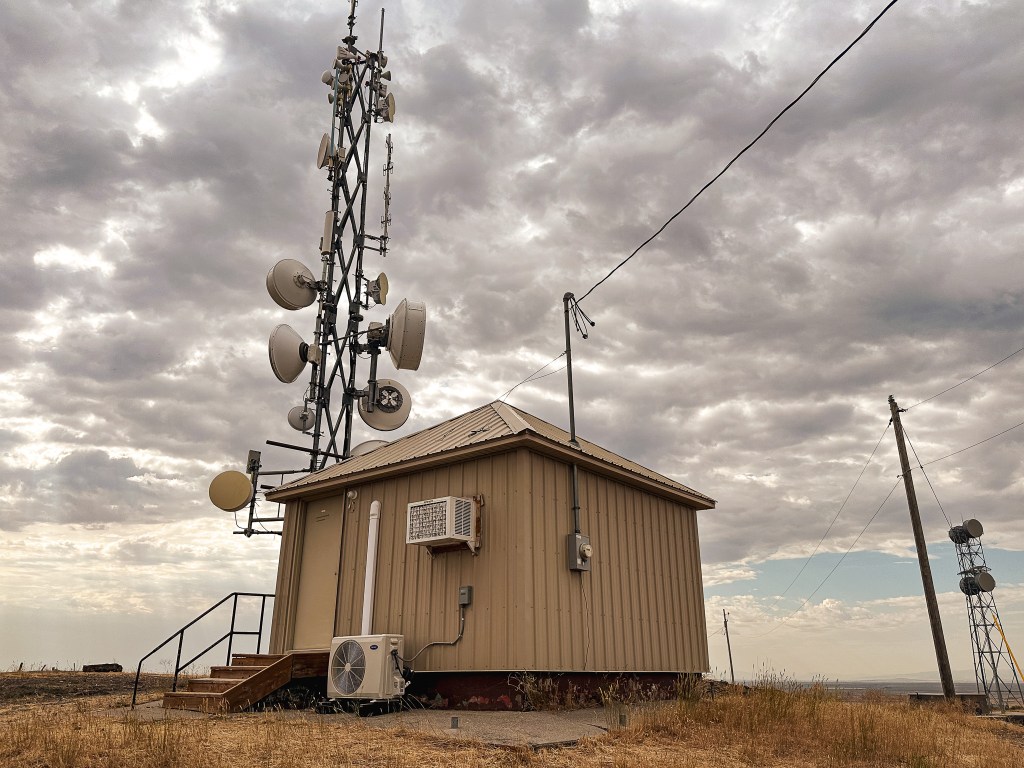
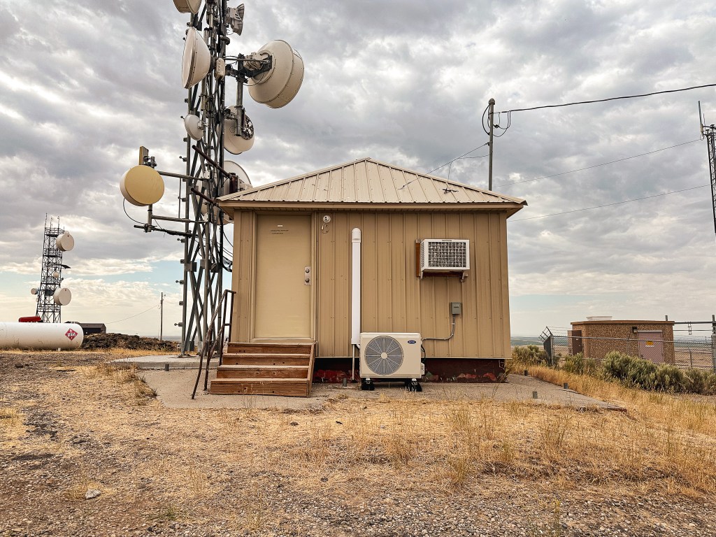
Built in 1941, the lookout on Notch Butte was a 14’x14′ USFS Region 1 ground cabin. It is noted as being used for emergencies into the 2000s, but has since been converted into a communication building. I wish there was more information on why they chose to build a fire lookout here. It seems it was mostly used to spot fires on range land surrounding the Union Pacific railroad.