Location.
Inyo National Forest
Status.
Active; Currently standing
Estimated drive time from Portland, OR.
13-1/2 hours
Date visited.
September 27, 2024
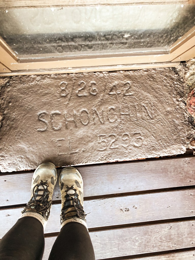
Elevation.
9,104′
National Historic Lookout Register.
US 279; CA 13
Trip Report.
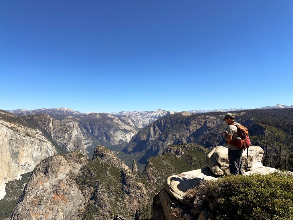
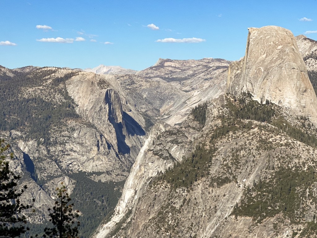
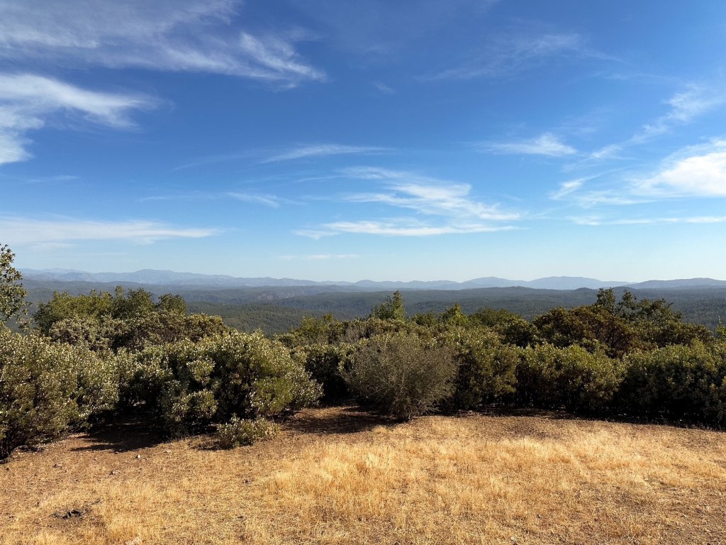
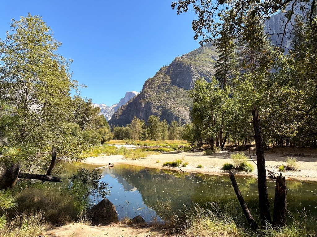
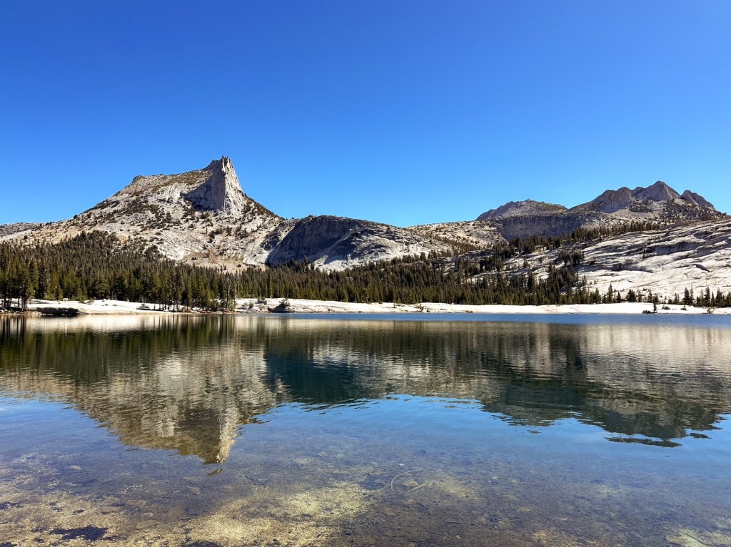
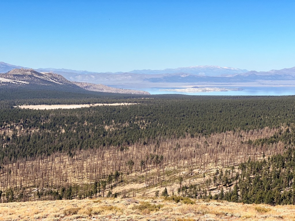
I felt we were able to get a good overview of Yosemite National Park by spreading out our hikes in each area. We spent our fifth day in the main valley collecting souvenirs and our sixth in Tuolumne Meadows hiking to Cathedral Lakes. We really only missed the most southern section with the Mariposa Grove. Though I hope the next time we get to visit the park will be via backpacking in their expansive backcountry. After our long travel day to the park at the start of our trip, I was happy we opted to take two nights to head back to Oregon. This broke up the drive and allotted us to make some exploratory stops along the way. I thought about trying to squeeze another short hike in before exiting Yosemite, but we both agreed we needed to make progress on our drive time. Especially since we opted to take the scenic route back via HWY-395.
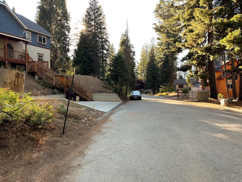
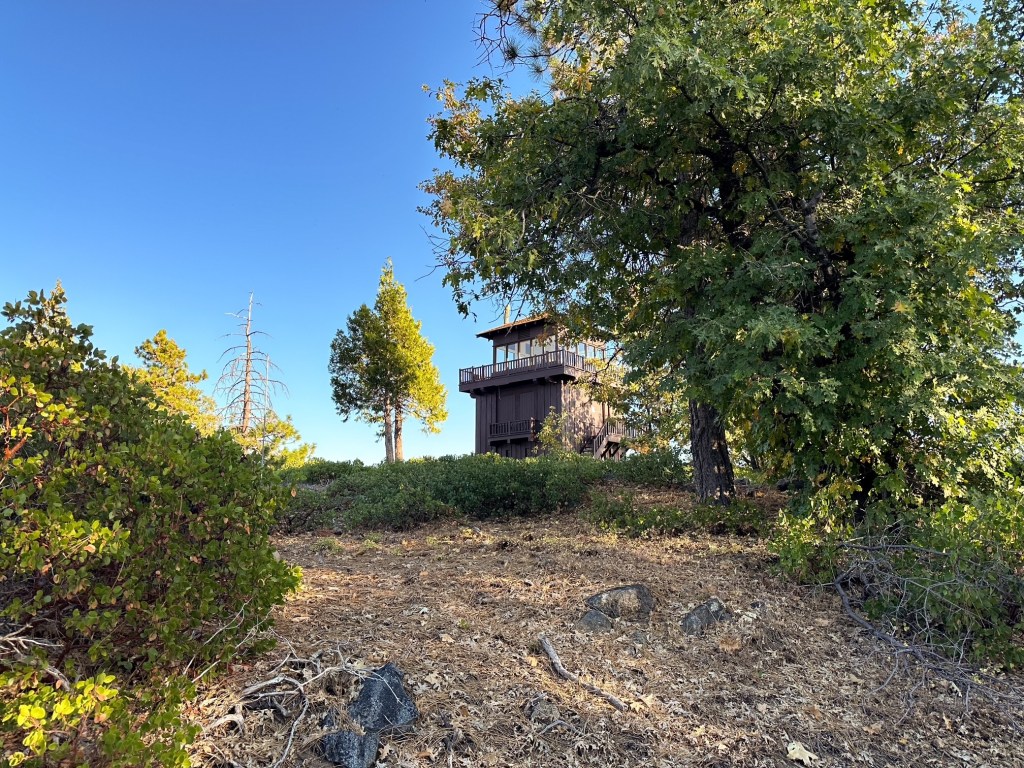
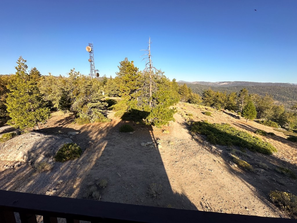
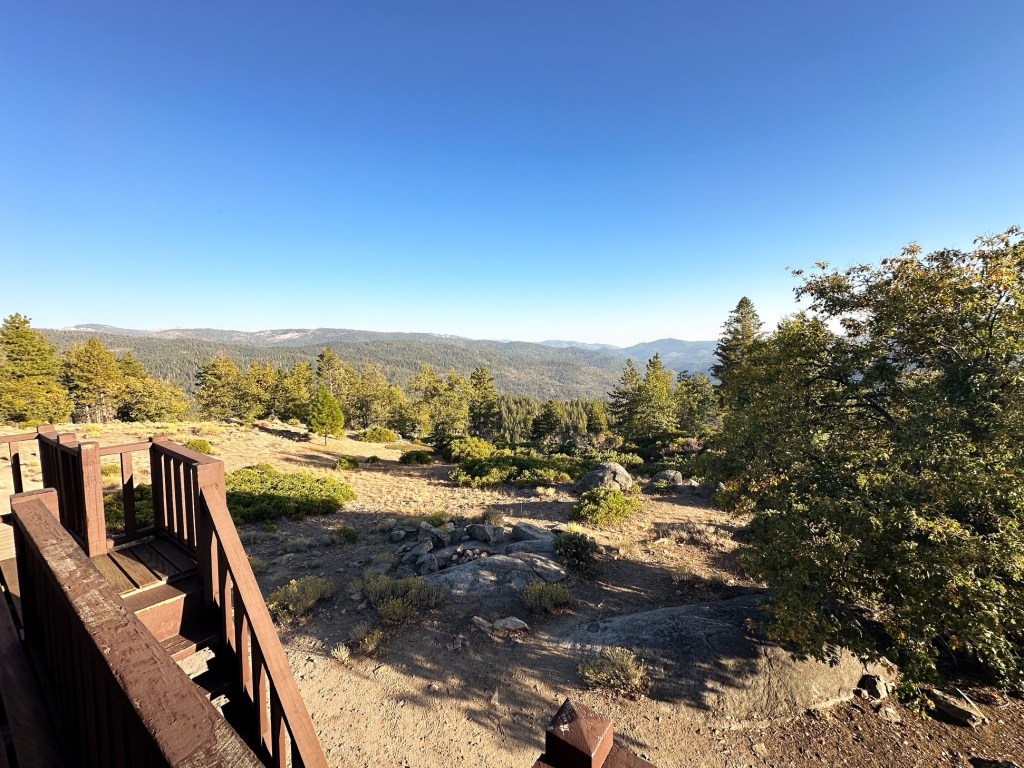
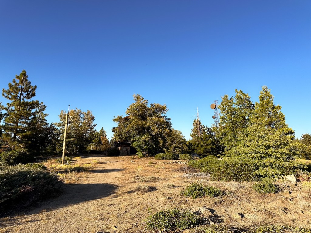
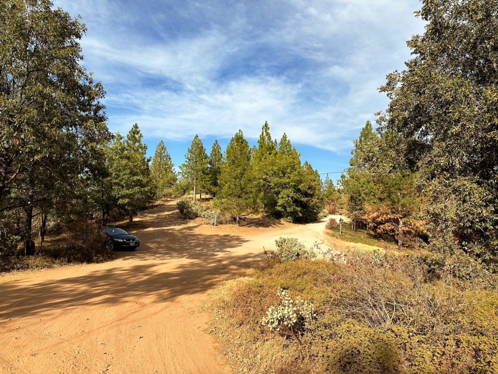
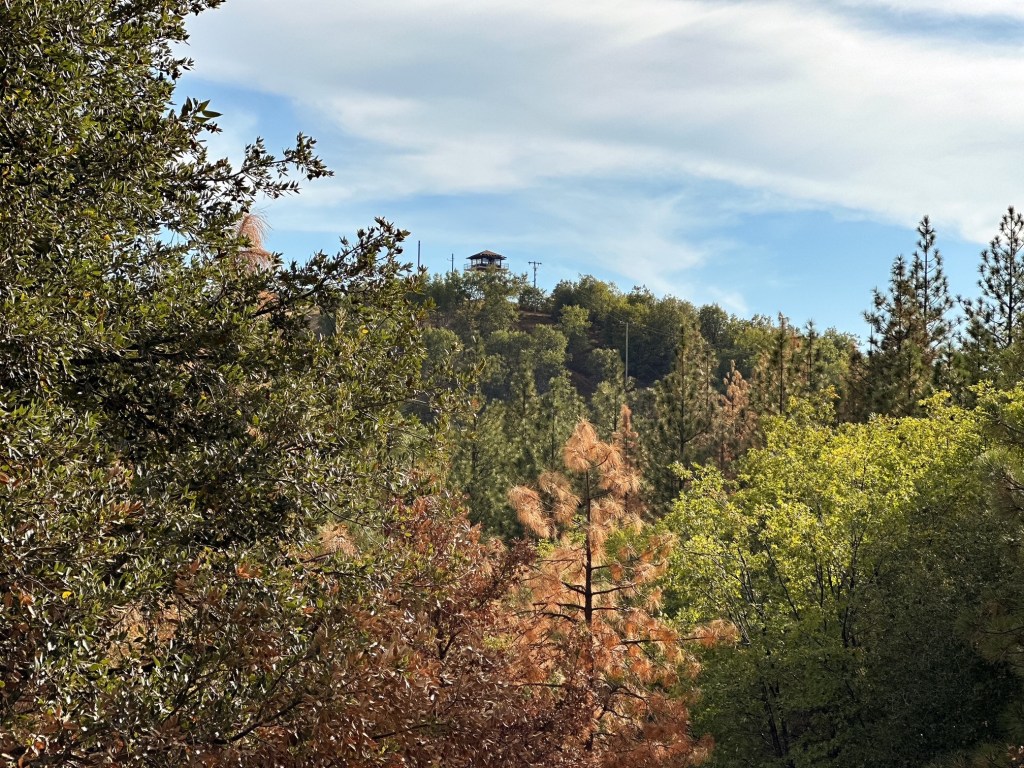
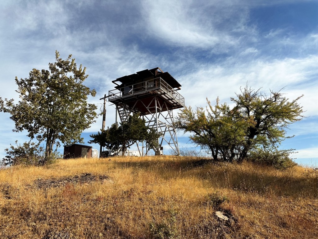
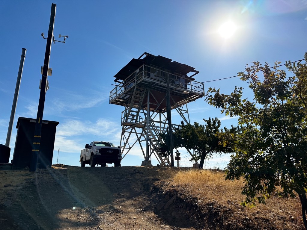
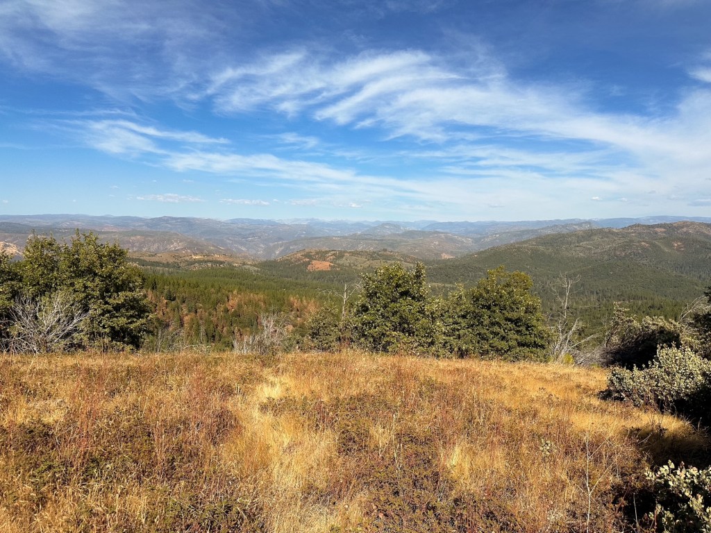
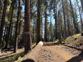
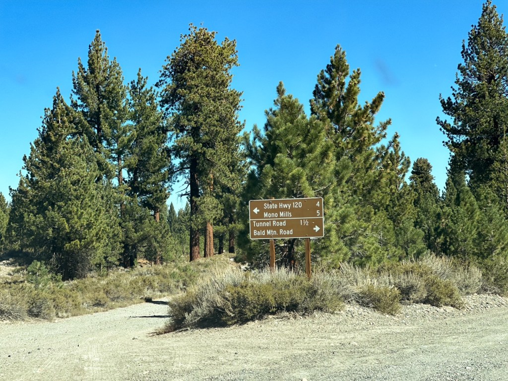
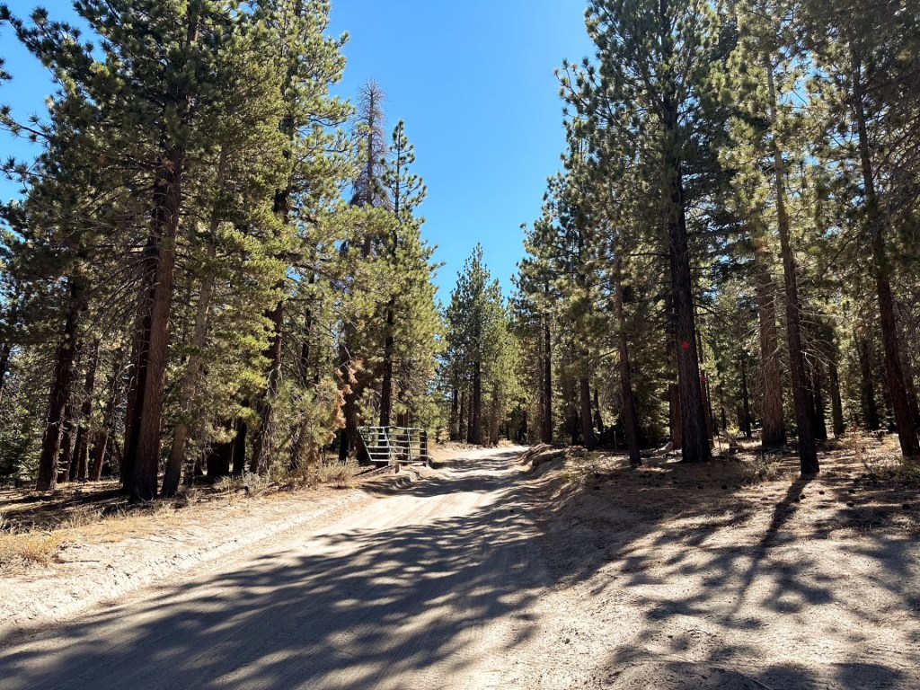
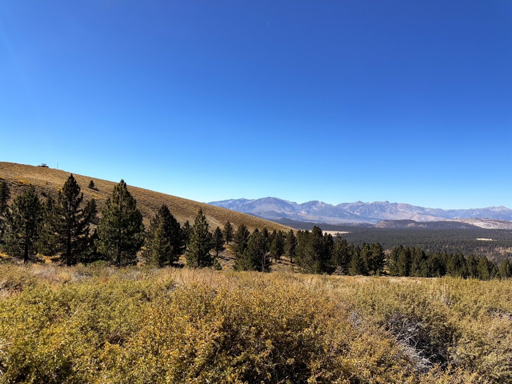
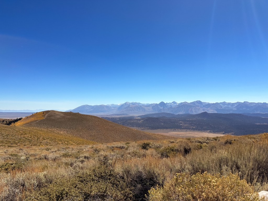
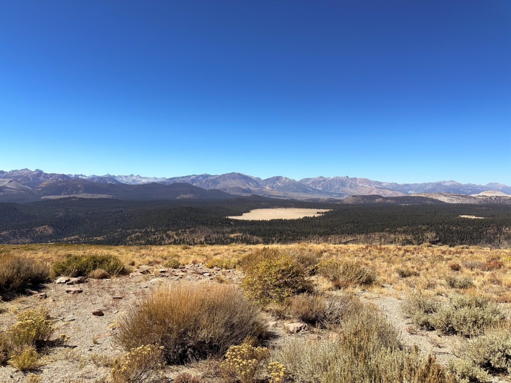
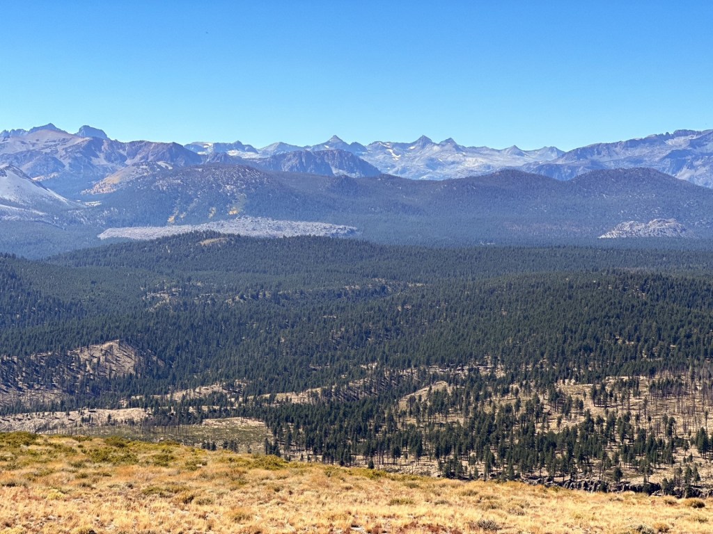
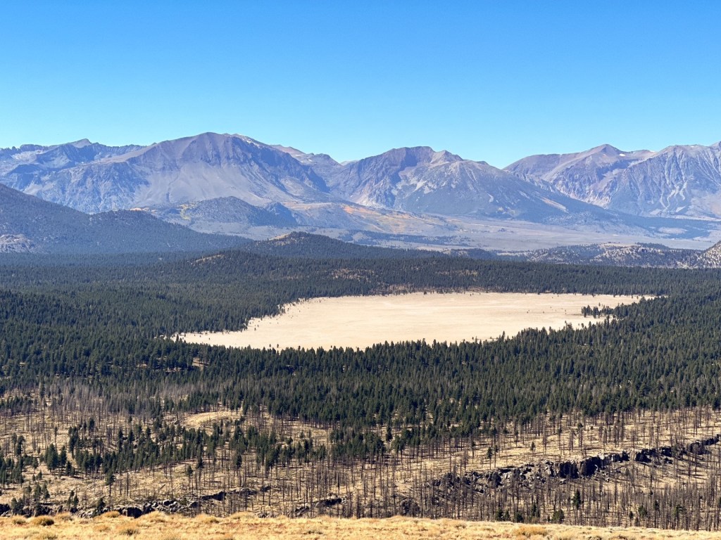
Bald Mountain lookout is just south of where HWY-120 meets HWY-395, or where the eastern exit to Yosemite National Park spits you out. This is a unique stand alone mountain that rises up out of the valley to offer 365 views of the surrounding area. Though we passed on any additional hikes, we figured it made sense to make a small detour here before heading north. Especially since we do not make it down to this area often and this fire lookout stands out by itself from others. Heading south on HWY-395, we kept an eye out for the left turn since we would have to cross traffic and were not sure if it’d be obvious. The road was labeled as 1S05 on the map, but was Bald Mountain Road from the highway and on GPS. There was thankfully a turn lane to avoid blocking any traffic and allowed us to wait for a safe crossing. From there the road turns to a mix of gravel and sand – I was a bit worried about how our car would handle the sand. We followed the main use road and any signs that pointed us towards Bald Mountain. It felt pretty straight forward to us but there are junctions were one could get turned around if not careful.
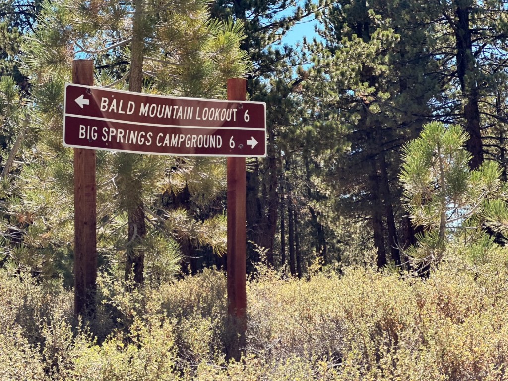
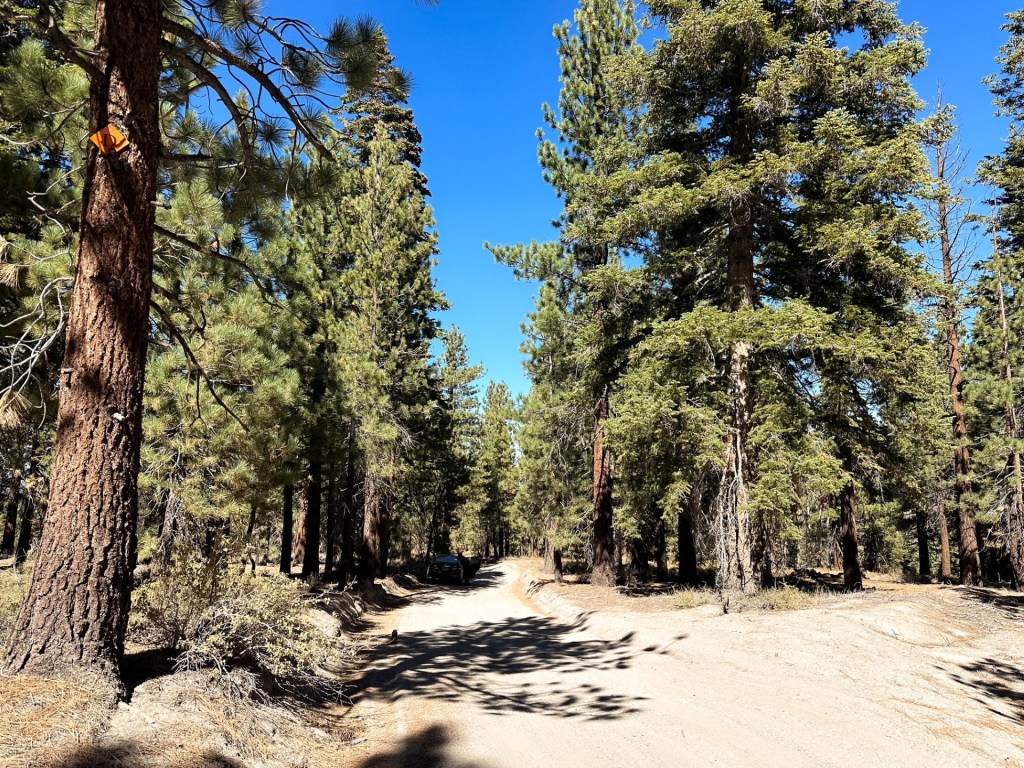
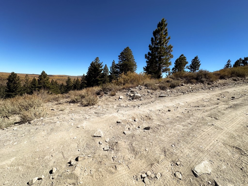
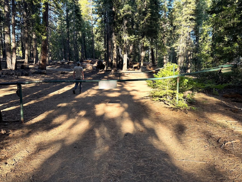
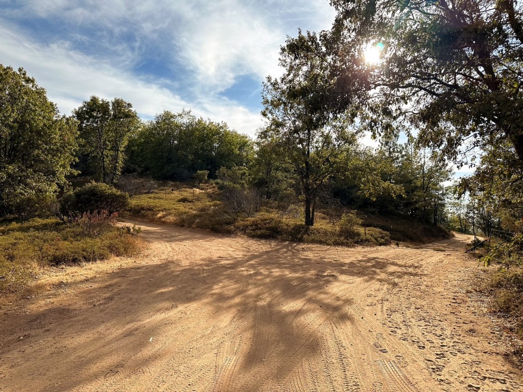
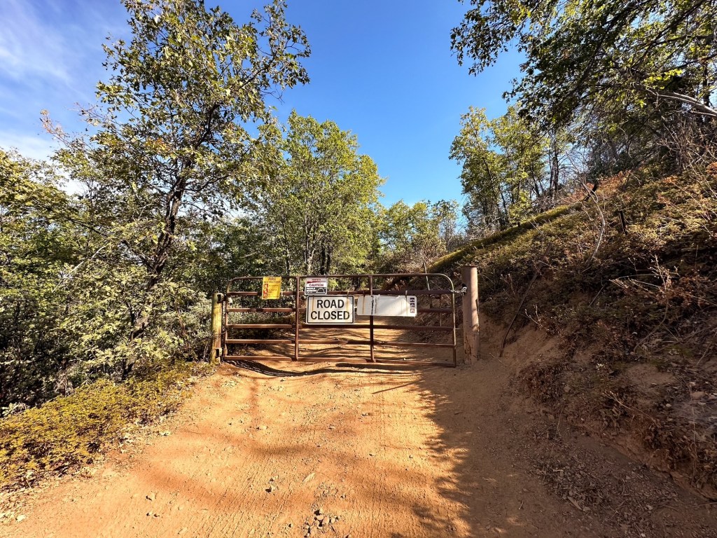
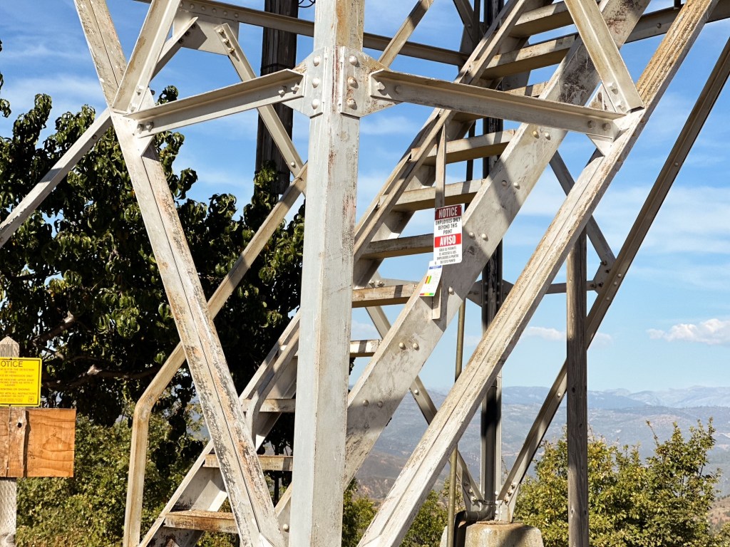
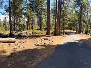
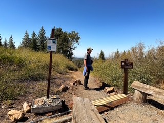
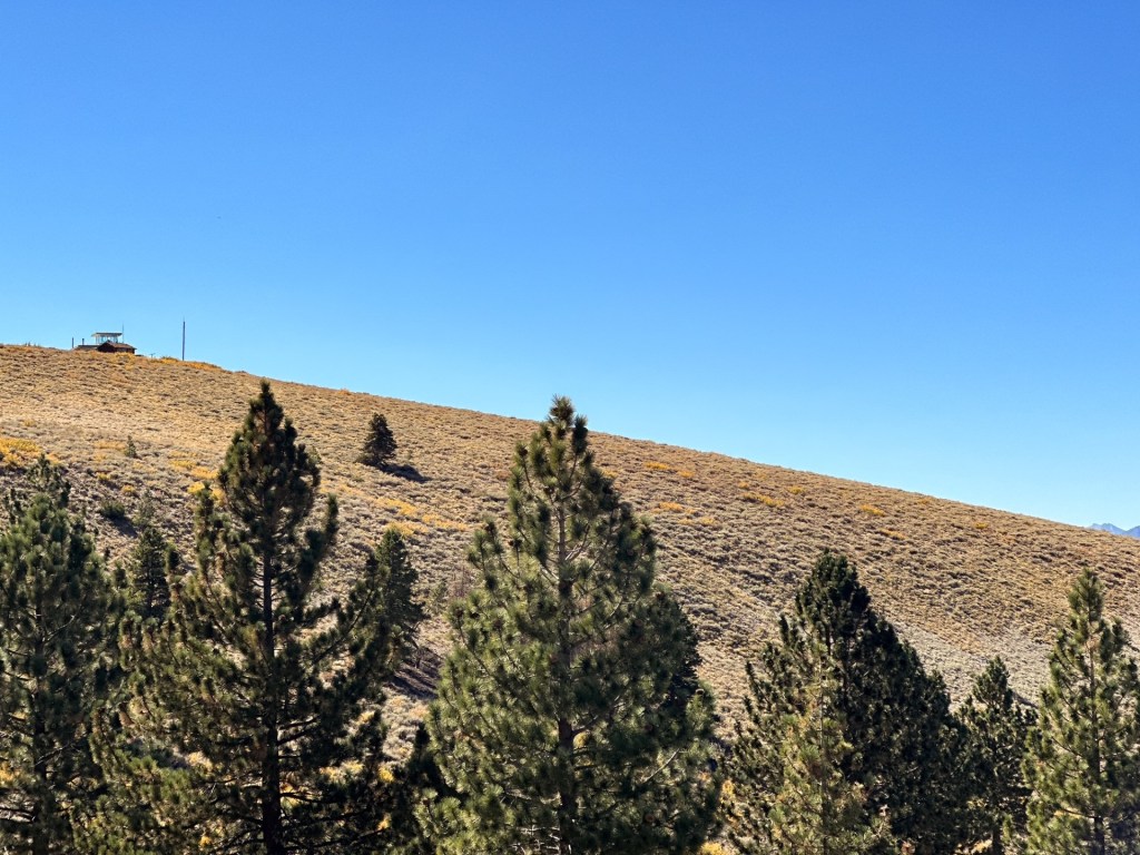
The road was passible to our car up until we reached the gate. There were some squirrely sections in the sand prior, but if you keep your momentum and don’t get too close to the soft shoulders you will be fine. I’d recommend parking and walking from the gate if you are in a low clearance vehicle. Garnet was driving this time and wanted to see if we could drive the remaining distance. This would end up being one of our bigger mistakes visiting a fire lookout. The road started out fine, but it is rocky and narrow. It does not offer room to pass if you meet another vehicle except in an area right before the summit. Unfortunately before we reached that larger pull out the road got worse and I wanted to bail out. We probably would have been fine if we had committed to making it at this point, but instead we tried to turn around to avoid backing all the way down. This area was rockier than the rest of our drive, but it was still a mix of soft sand. Given those conditions, I’m sure it’s no surprise to read that we got ourselves stuck. Not majorly but enough to be concerned about how we were going to get ourselves out. Our wheels were having a hard time finding purchase and we tried adding rocks under the tires to help build traction without digging ourselves deeper. There was potential for high-lining our car or at least cause significant damage to the undercarriage. Eventually someone was driving down from visiting the summit and they stopped to help. They were able to assist Garnet in giving us a good push from the back, while directing us in the front areas we couldn’t see by ourselves. We were extremely thankful and embarrassed at the same time. Once we were back on the road we had to back down all the way to the gate to let them pass. We parked in a pull out just before the gate and walked the rest of the road, as we should have from the start.
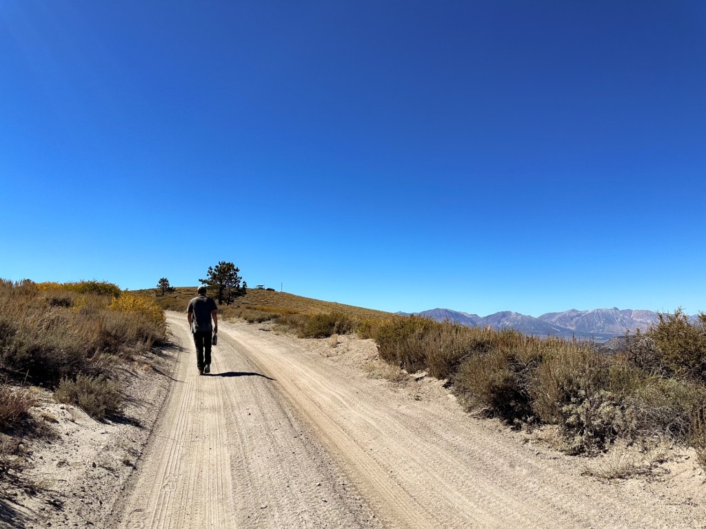
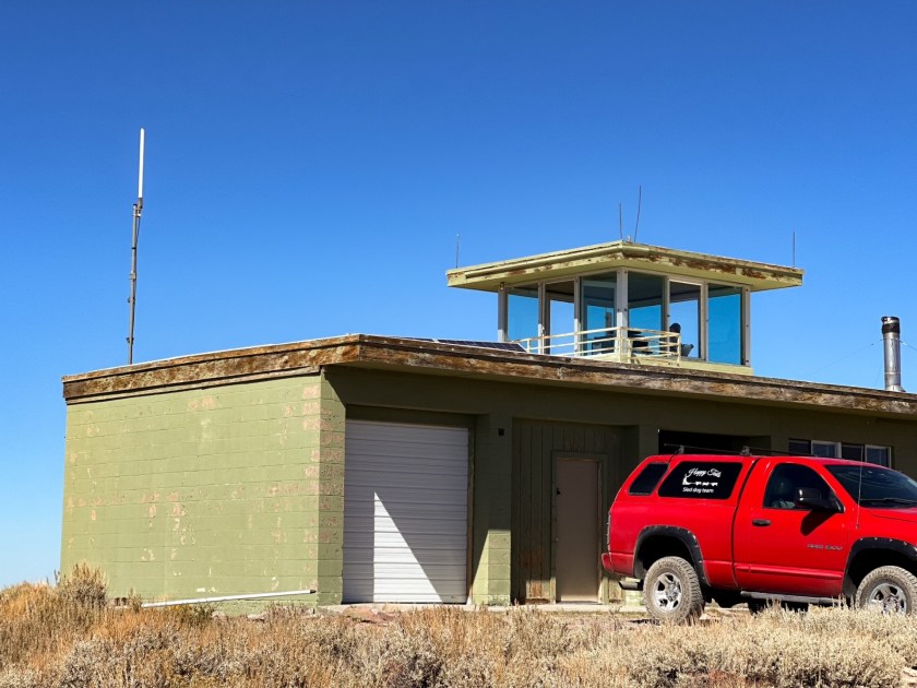
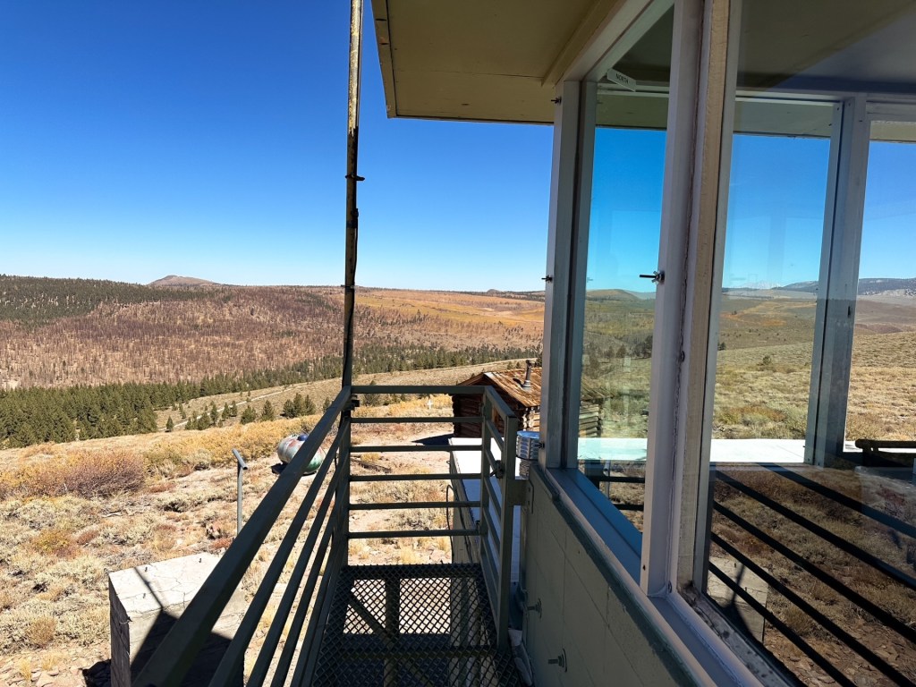
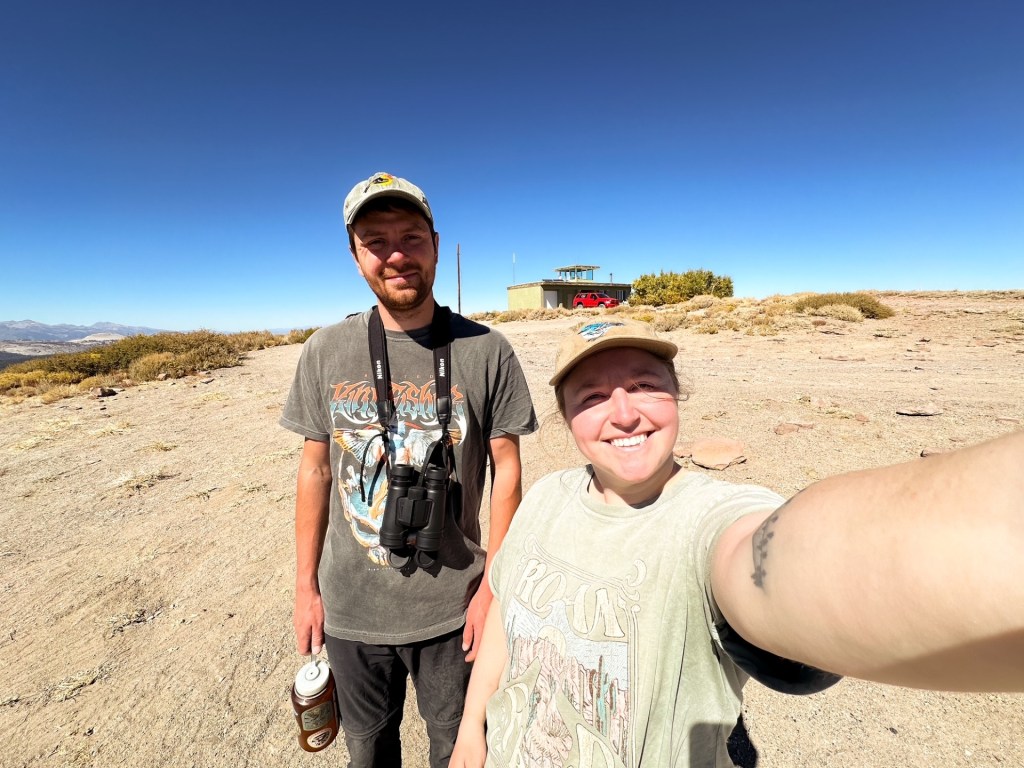
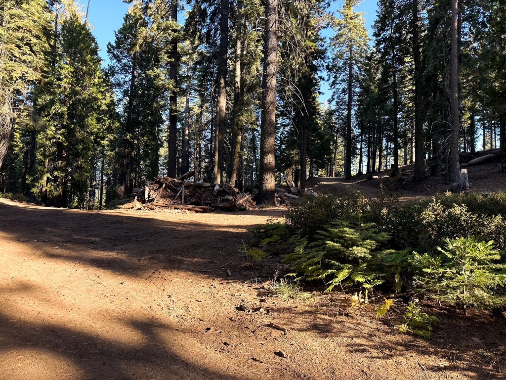
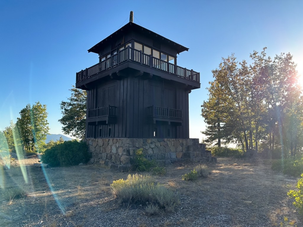
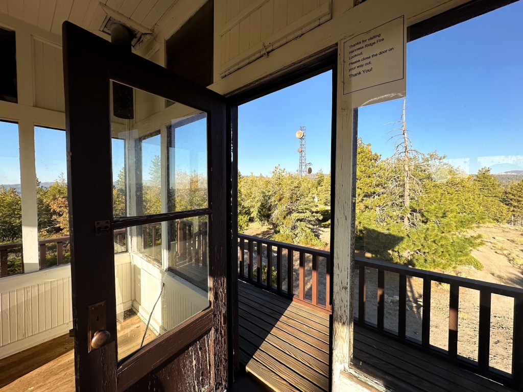
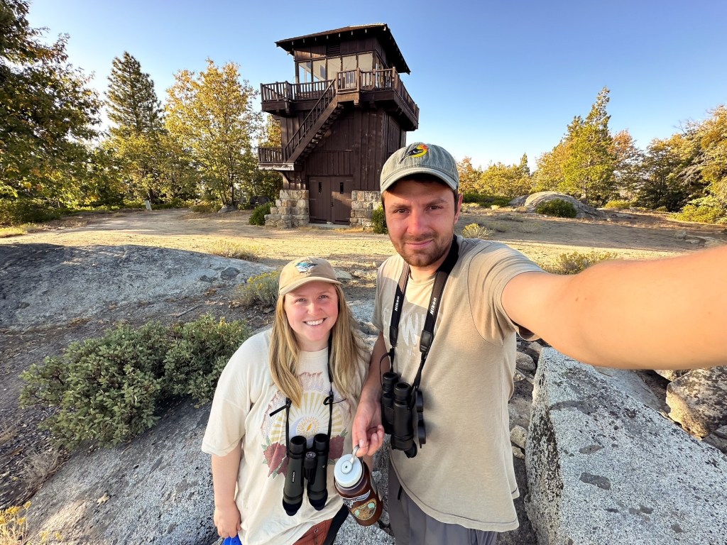
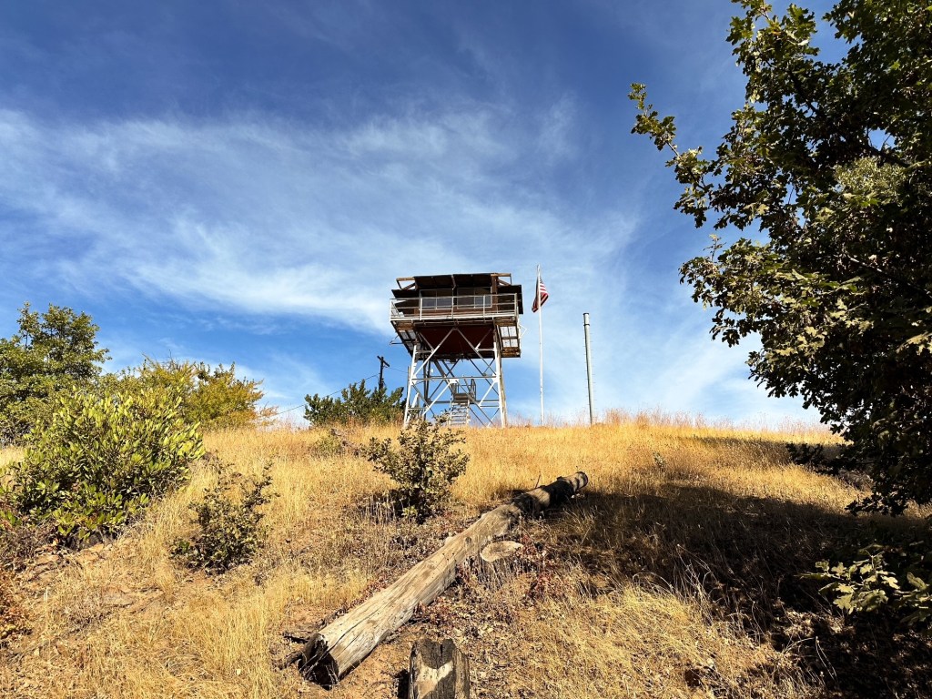
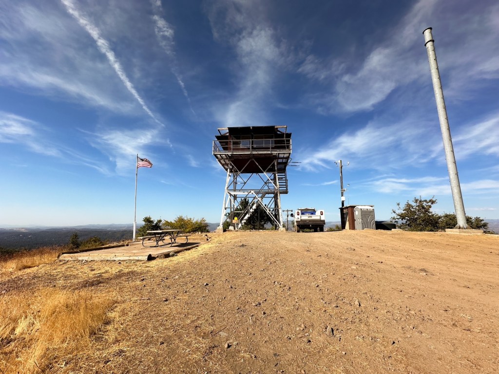
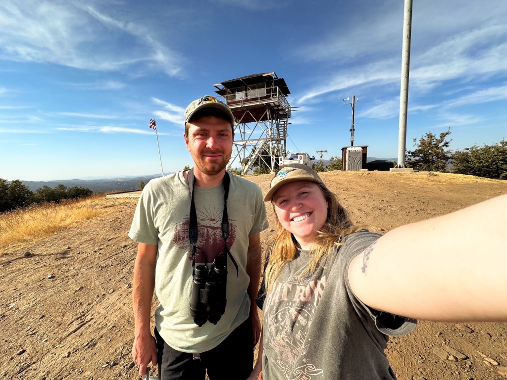
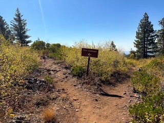
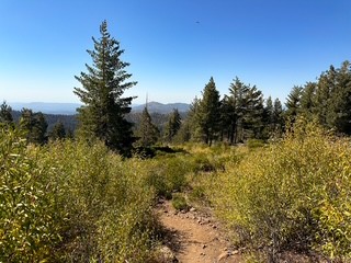
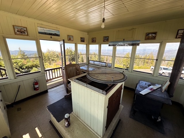
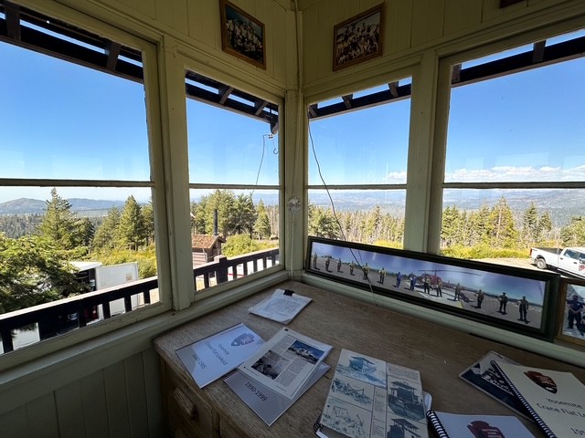
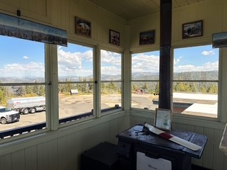
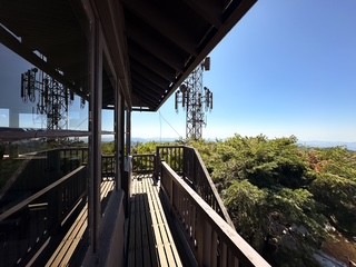
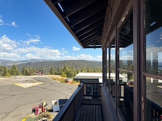
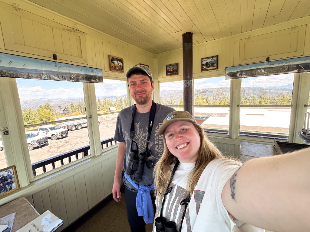
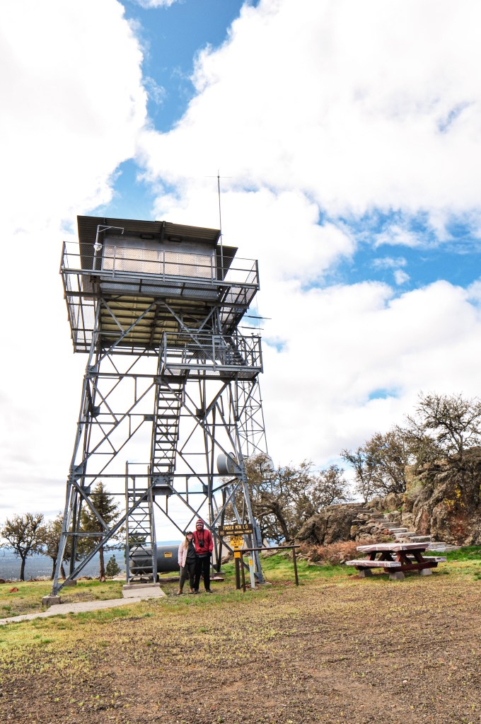
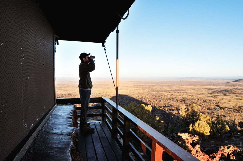
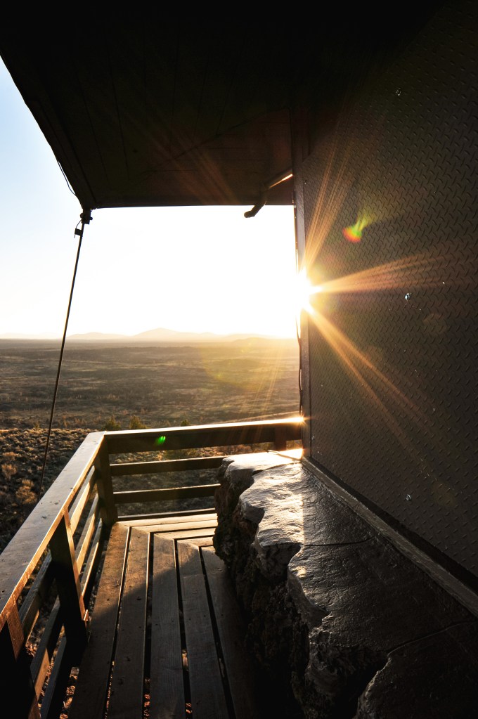
It was only a 0.8 mile walk from the gate to the summit with 382′ of elevation gain. Strava calculated the total round trip distance at 1.77 miles, but the additional was due to walking around the lookout. We were greeted by a friendly attendant named Karen that invited us up to take a look around. She told us she was a volunteer from the San Bernadino area and that this lookout was staffed on a rotating basis of volunteers. It was cool to see a new program in action from the efforts of the FFLA to help keep this lookout in service. Karen used to work on Keller Peak LO and was the first woman to repel down El Capitan (so cool!). She told us how we just missed some other visitors that were worried about meeting cars on the road during their drive down and that she had seen a car heading up at the same time but was unsure what happened. We were too embarrassed to tell her that was us, or that we got stuck, or that they had to help us. I felt even worse to hear that we became their worst fear. There was not much we could do about it now except look back and laugh.
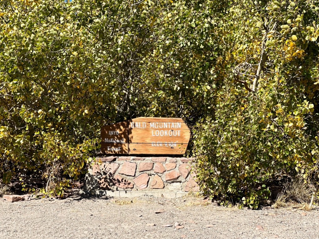
History.
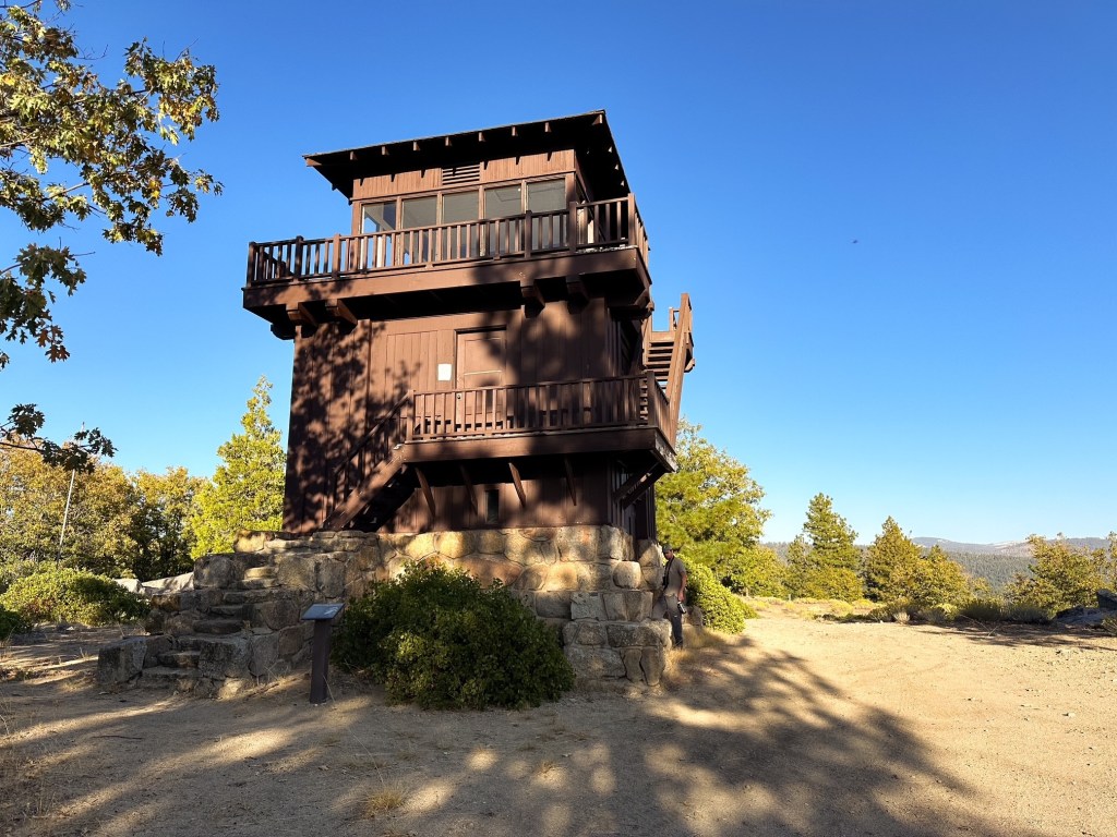
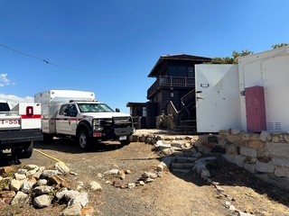
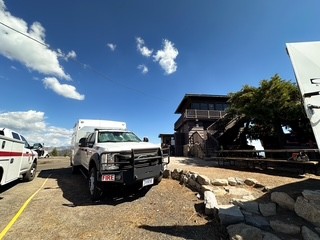
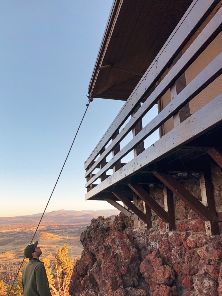
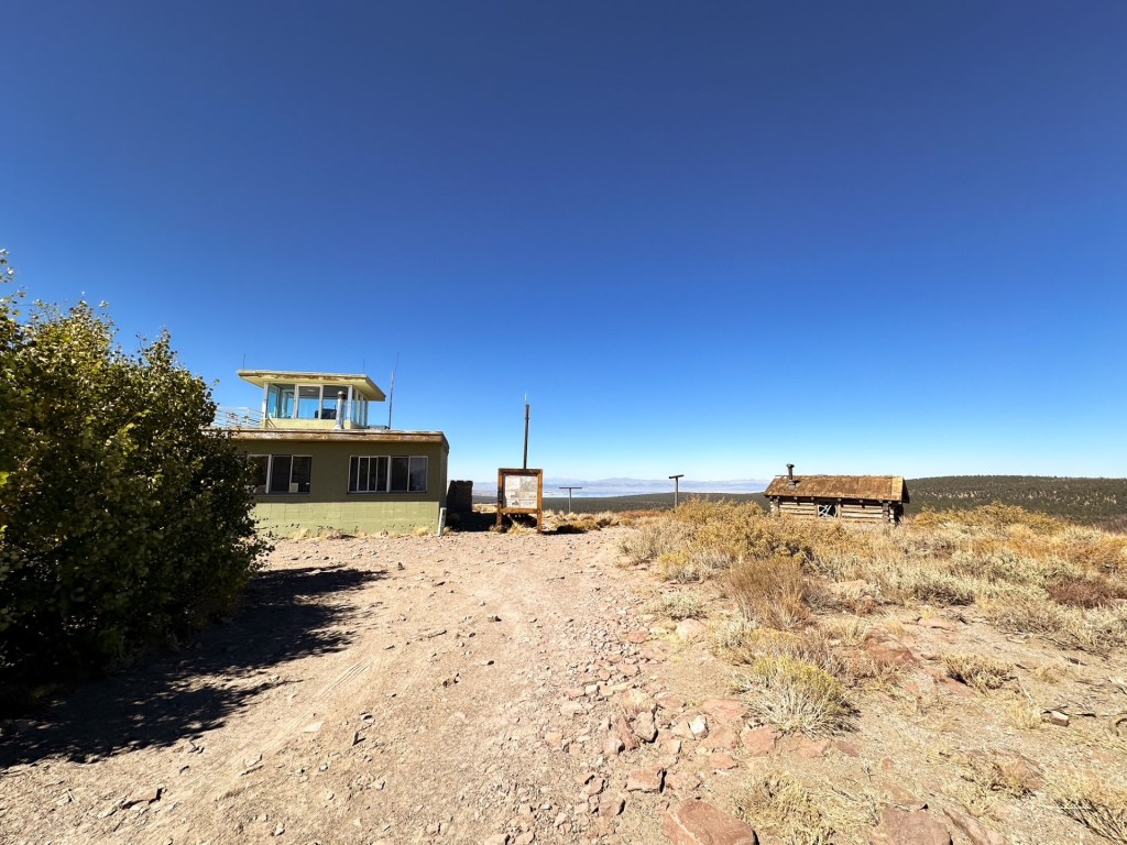
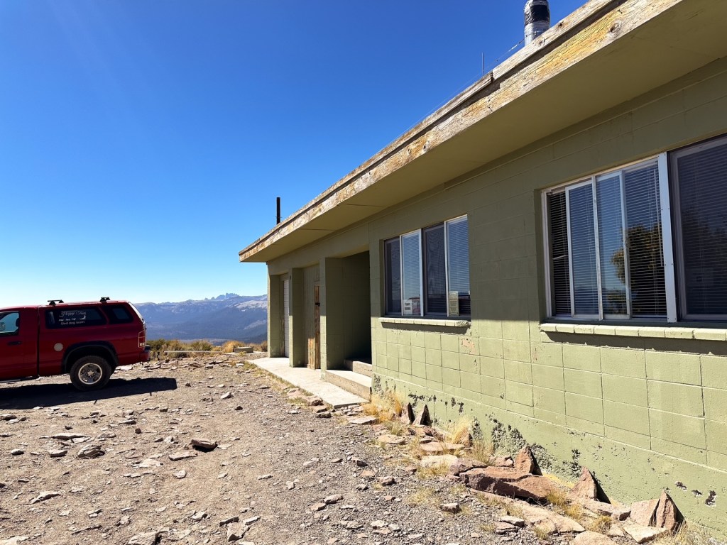
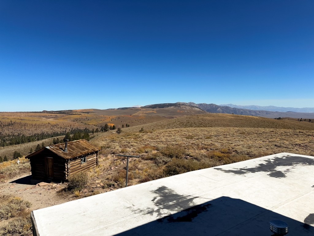
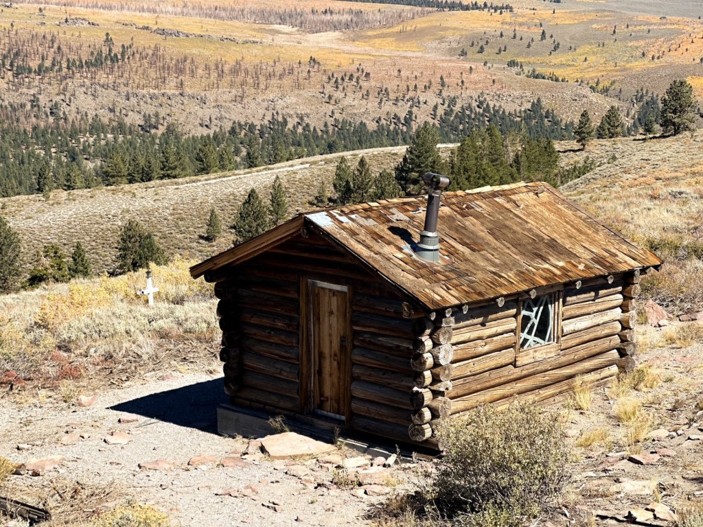
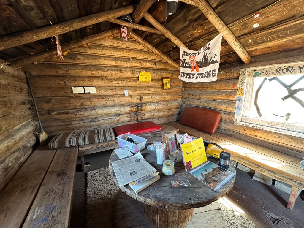
Bald Mountain is one of only two fire lookouts still standing in the south-eastern Sierra and the only one left in operation on the Inyo National Forest. The original structure was built in 1943 by the Civilian Public Service (an agency that followed the CCC and was staffed by conscientious objectors of WWII). There is still a log cabin onsite that is believed to be part of the original buildings from this era and is still used as a warming hut for skiers in the winter. In 1963, the current 16′ x 40′ concrete block lookout with 10′ x 10′ steel cab was built. This unique structure includes living quarters, two garages, and a storage room. It was actively staffed by the Forest Service into the 1980s. It was not until recently, in 2024, that it was brought back into service via a volunteer partnership between the FFLA and the Mono Lake Ranger District.